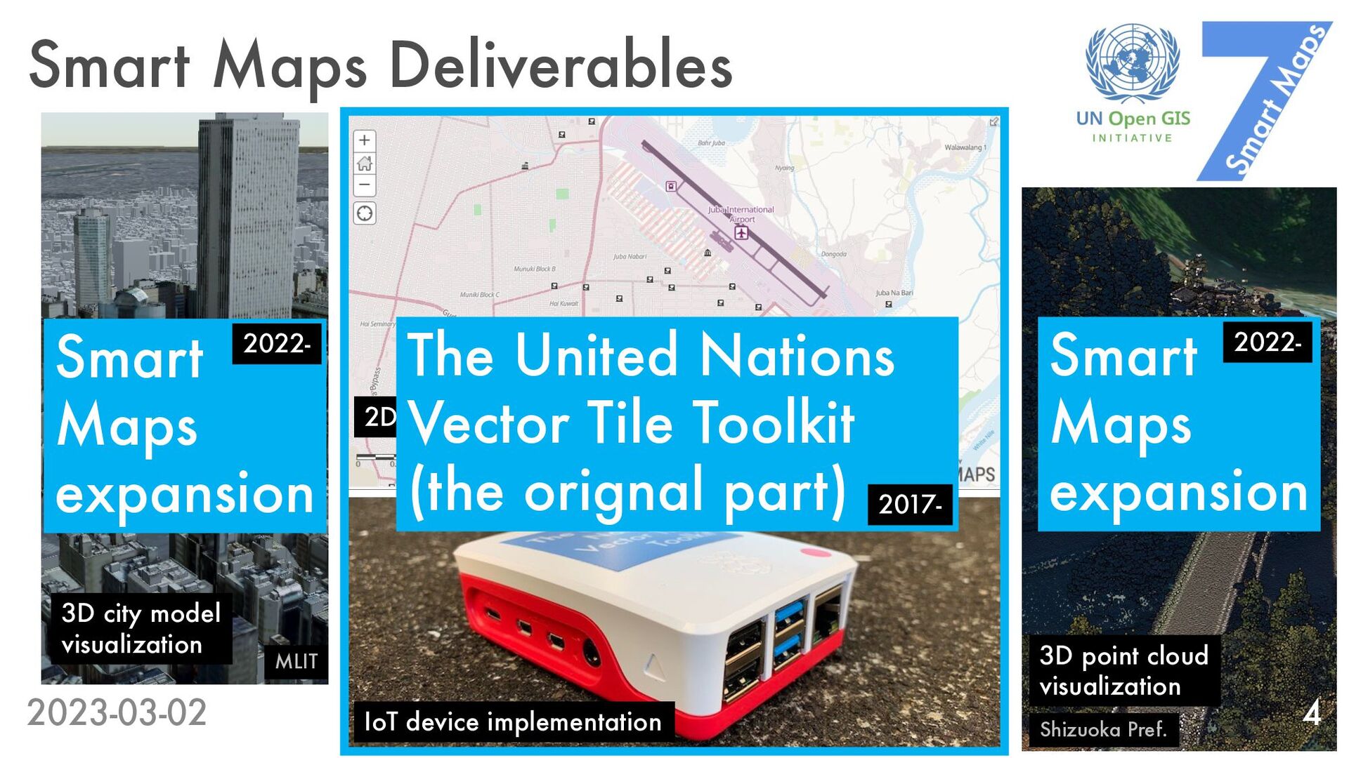
implementation 3D city model visualization MLIT Shizuoka Pref. 3D point cloud visualization The United Nations Vector Tile Toolkit (the orignal part) Smart Maps expansion Smart Maps expansion 2022- 2017- 2022-
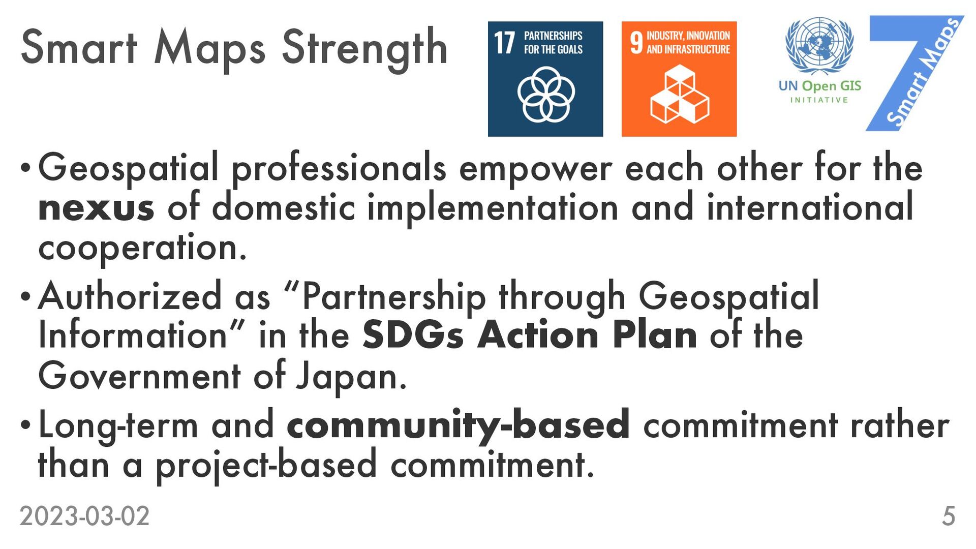
nexus of domestic implementation and international cooperation. •Authorized as “Partnership through Geospatial Information” in the SDGs Action Plan of the Government of Japan. •Long-term and community-based commitment rather than a project-based commitment. 2023-03-02 5
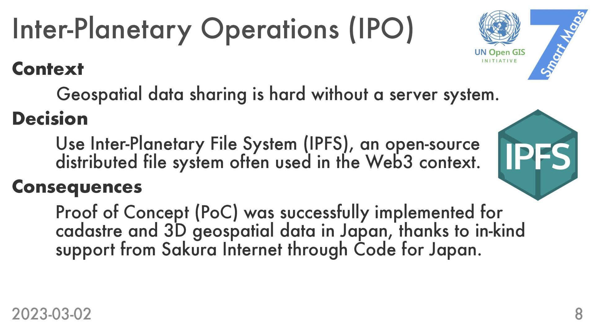
a server system. Decision Use Inter-Planetary File System (IPFS), an open-source distributed file system often used in the Web3 context. Consequences Proof of Concept (PoC) was successfully implemented for cadastre and 3D geospatial data in Japan, thanks to in-kind support from Sakura Internet through Code for Japan. 2023-03-02 8
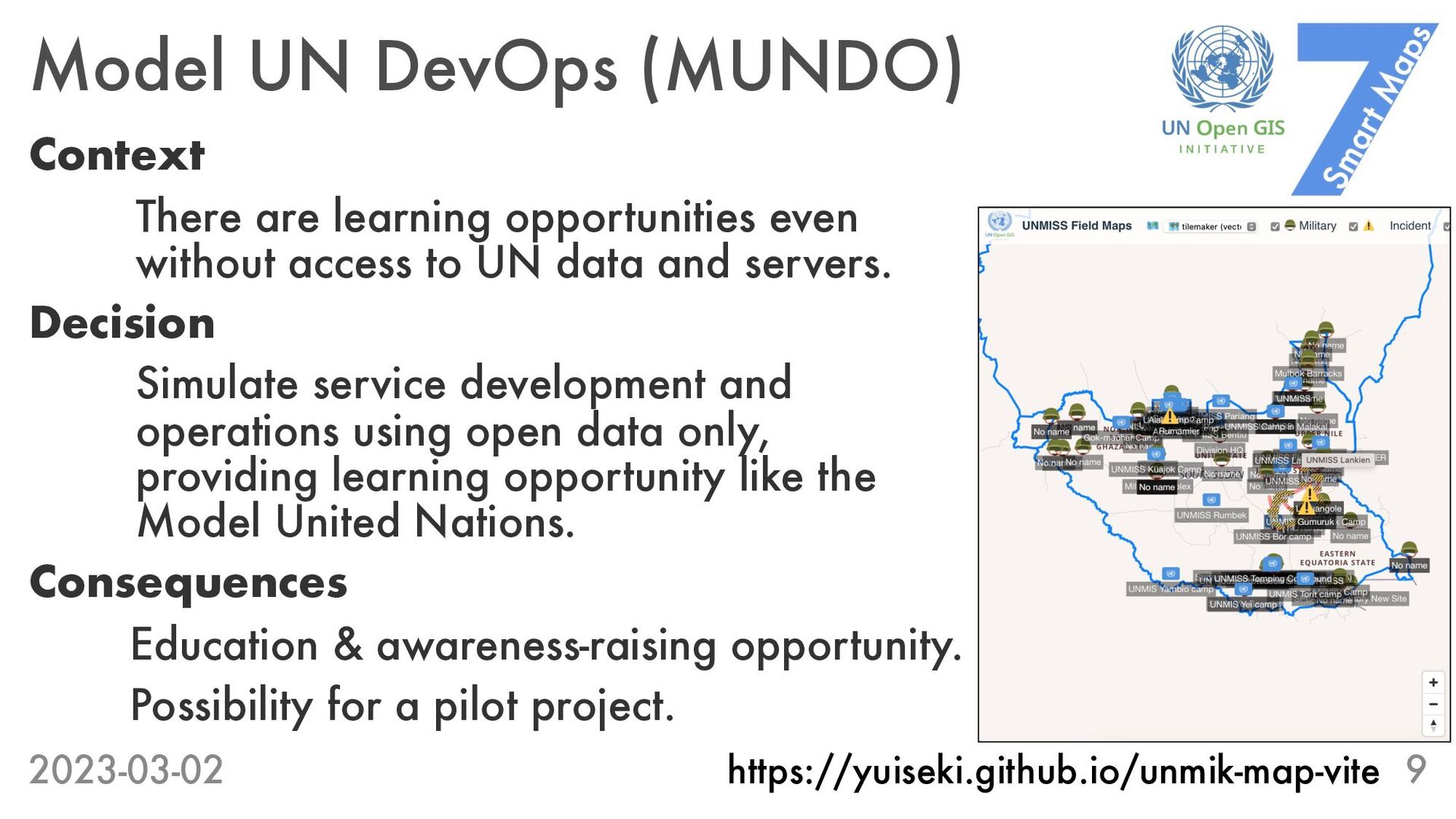
without access to UN data and servers. Decision Simulate service development and operations using open data only, providing learning opportunity like the Model United Nations. Consequences Education & awareness-raising opportunity. Possibility for a pilot project. 2023-03-02 9 https://yuiseki.github.io/unmik-map-vite
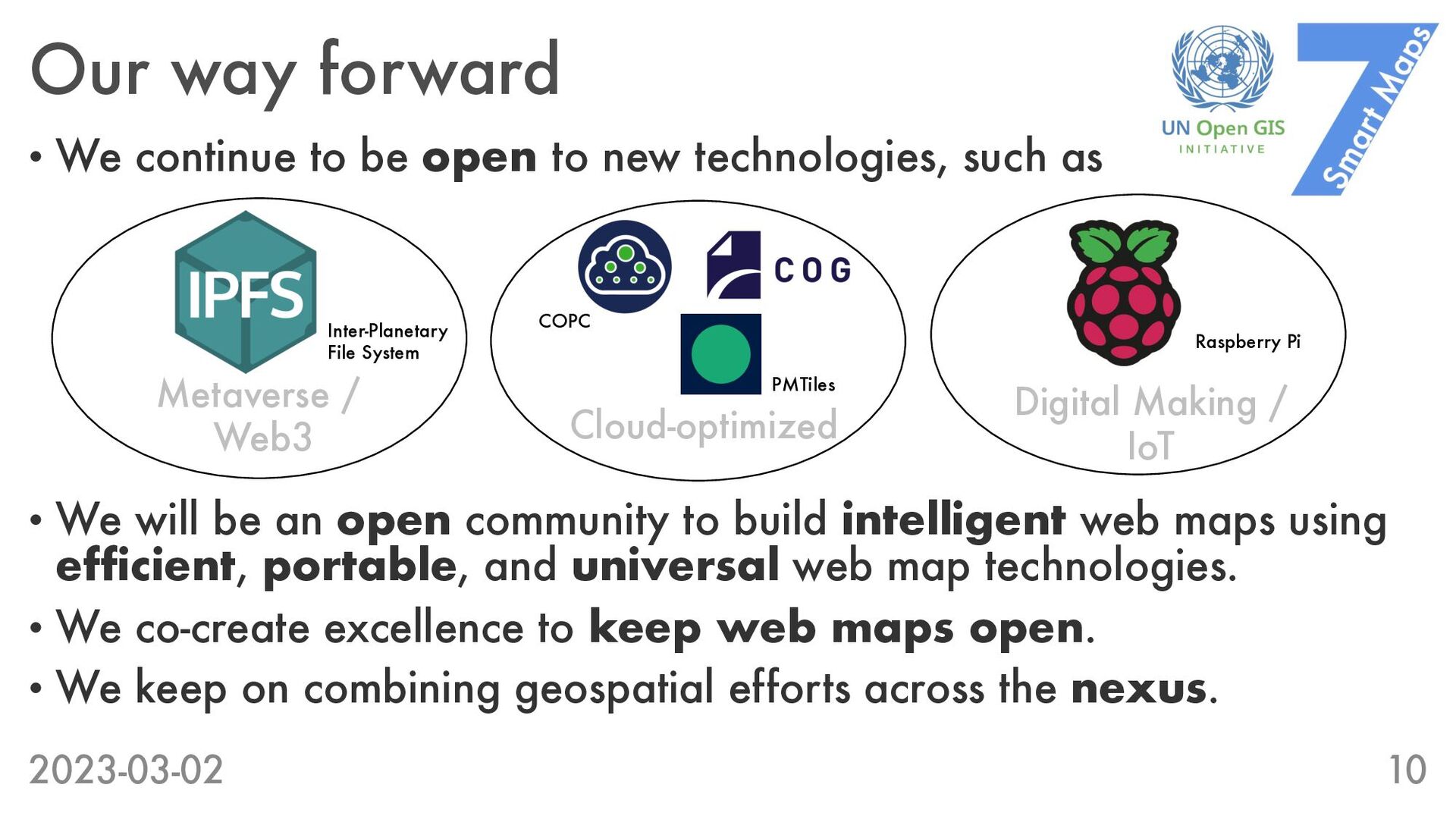
to build intelligent web maps using efficient, portable, and universal web map technologies. • We co-create excellence to keep web maps open. • We keep on combining geospatial efforts across the nexus. 2023-03-02 10 • We continue to be open to new technologies, such as Metaverse / Web3 Cloud-optimized Digital Making / IoT Inter-Planetary File System PMTiles COPC Raspberry Pi