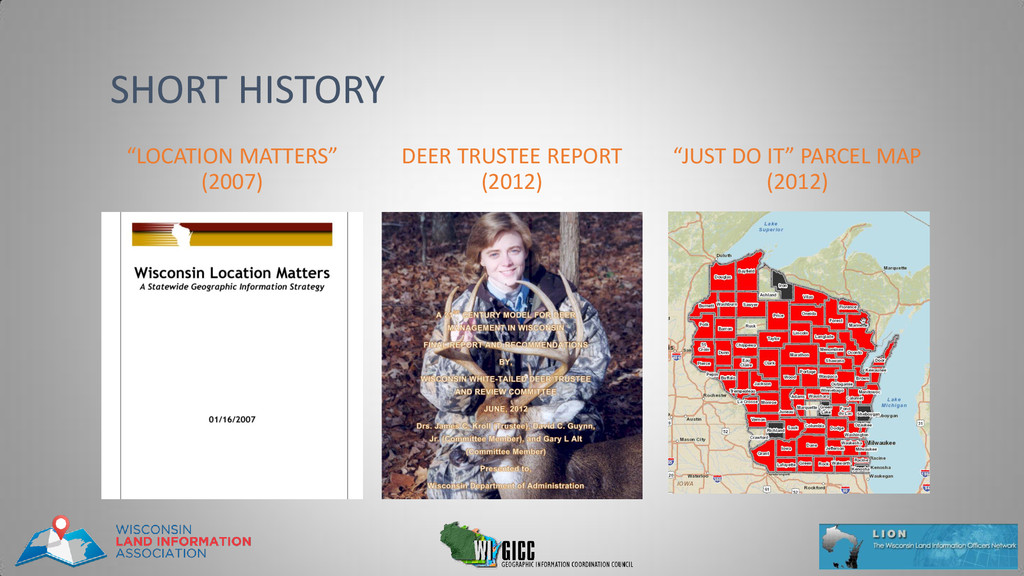
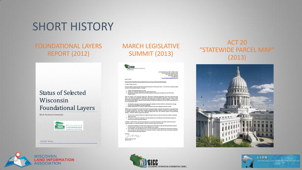
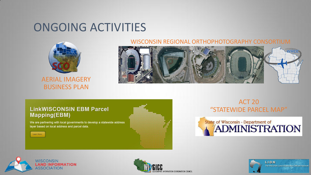
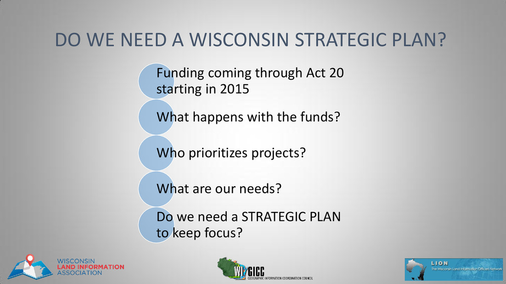
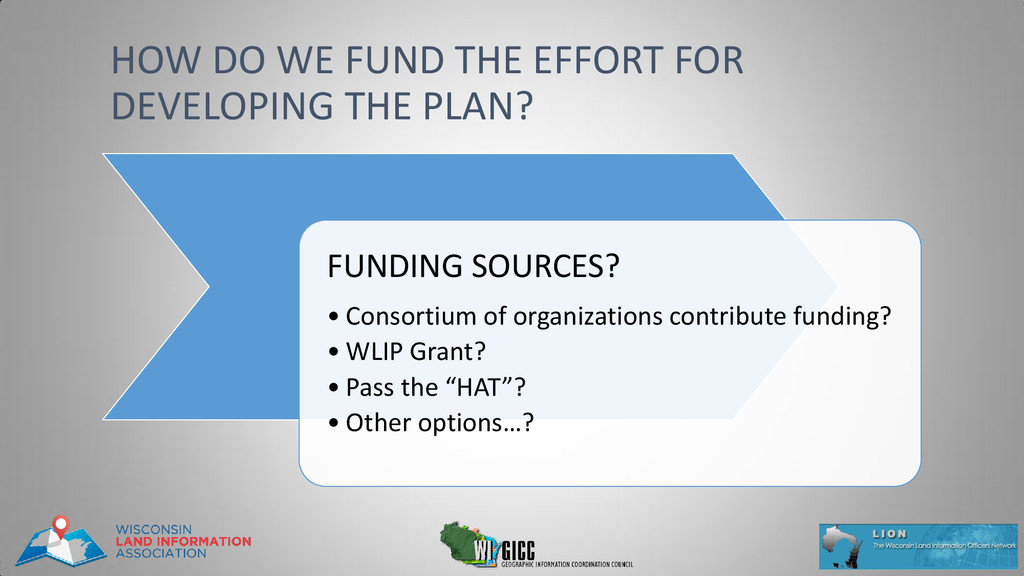
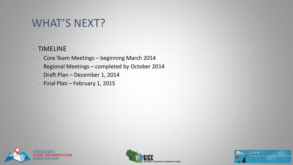
• It is desired that the maximum number of voices are heard regardless of position or concern • The best conversations are two way • Stand up, talk up so everyone can hear • 2 minutes to introduce a topic • 1 minute for response • 1 minute for additional comments •be Nice, be Concise RULES
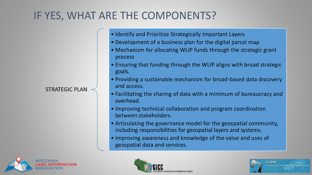
Development of a business plan for the digital parcel map • Mechanism for allocating WLIP funds through the strategic grant process • Ensuring that funding through the WLIP aligns with broad strategic goals. • Providing a sustainable mechanism for broad-based data discovery and access. • Facilitating the sharing of data with a minimum of bureaucracy and overhead. • Improving technical collaboration and program coordination between stakeholders. • Articulating the governance model for the geospatial community, including responsibilities for geospatial layers and systems. • Improving awareness and knowledge of the value and uses of geospatial data and services. IF YES, WHAT ARE THE COMPONENTS?
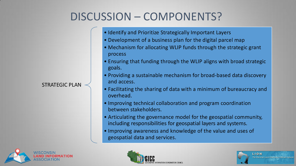
Important Layers • Development of a business plan for the digital parcel map • Mechanism for allocating WLIP funds through the strategic grant process • Ensuring that funding through the WLIP aligns with broad strategic goals. • Providing a sustainable mechanism for broad-based data discovery and access. • Facilitating the sharing of data with a minimum of bureaucracy and overhead. • Improving technical collaboration and program coordination between stakeholders. • Articulating the governance model for the geospatial community, including responsibilities for geospatial layers and systems. • Improving awareness and knowledge of the value and uses of geospatial data and services.
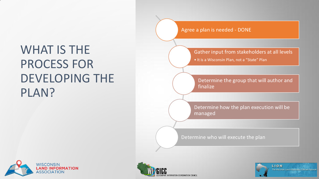
stakeholders at all levels • It is a Wisconsin Plan, not a “State” Plan Determine the group that will author and finalize Determine how the plan execution will be managed Determine who will execute the plan WHAT IS THE PROCESS FOR DEVELOPING THE PLAN?
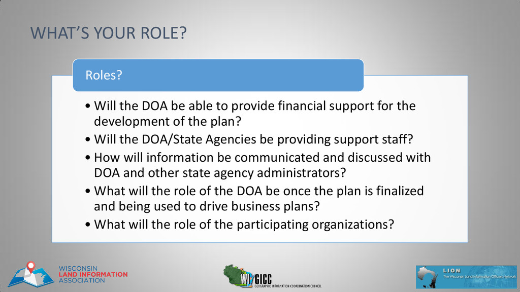
for the development of the plan? • Will the DOA/State Agencies be providing support staff? • How will information be communicated and discussed with DOA and other state agency administrators? • What will the role of the DOA be once the plan is finalized and being used to drive business plans? • What will the role of the participating organizations? Roles? WHAT’S YOUR ROLE?
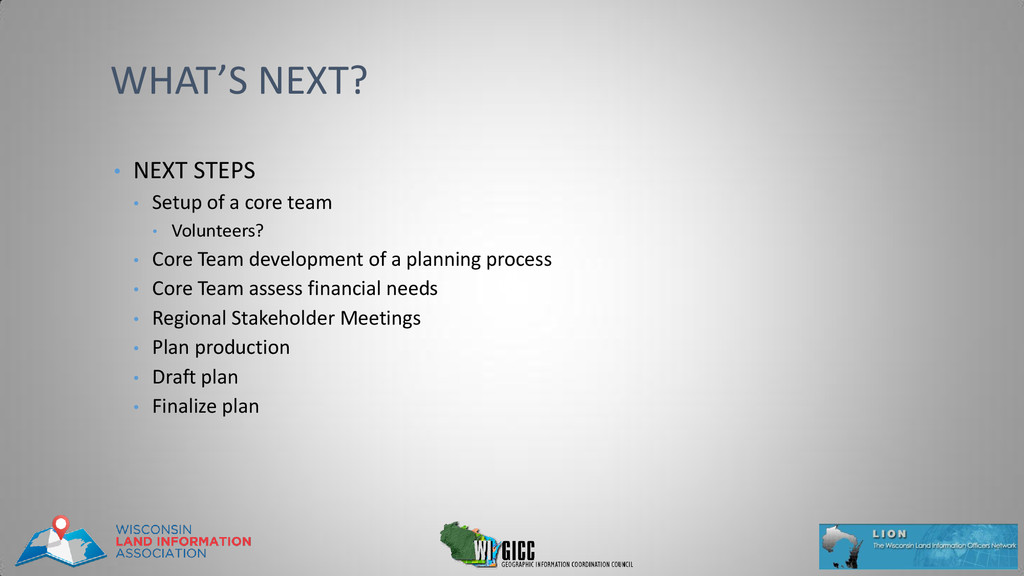
team • Volunteers? • Core Team development of a planning process • Core Team assess financial needs • Regional Stakeholder Meetings • Plan production • Draft plan • Finalize plan


 mediphone
 nakasonejusetsu
 uemura2024
 yasslab
 uniam
 todatomohiro
 caddireat
 fullkaiten
 noritaka88tax
 ikuodanaka
 nessu_inc
 sukatsu1222
 sarafernandez
 szymonslowik
 addyosmani
 codingconduct
 portentint
 erikaheidi
 reverentgeek
 retrage
 shpigford
 quramy
 frankvandijk