This talk has been delivered on FOSS4GFR 18.
Videos from this presentation:
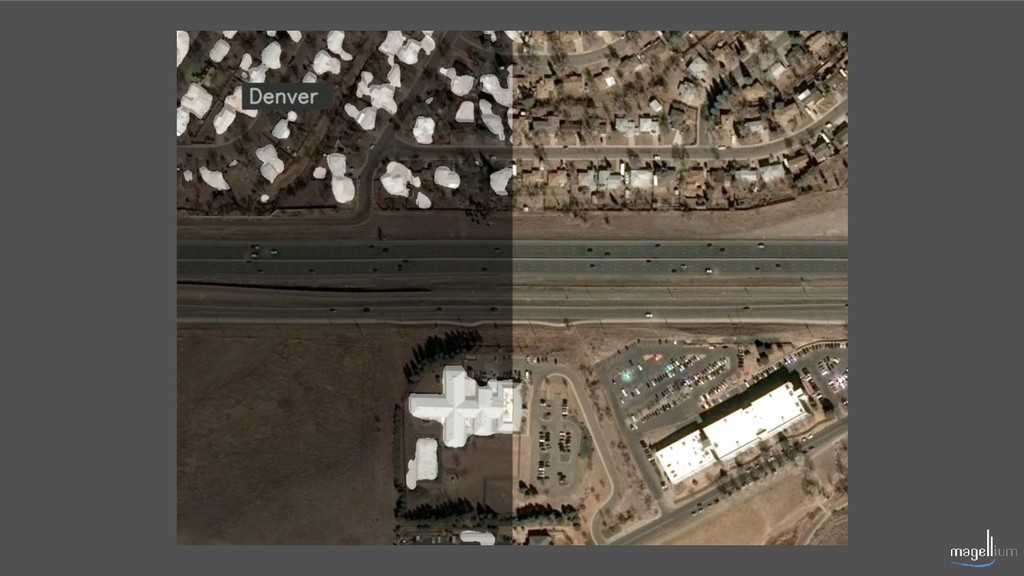
- Denver https://youtu.be/BEvsUrk1N28
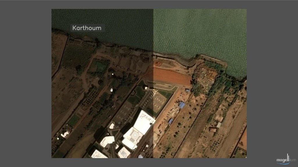
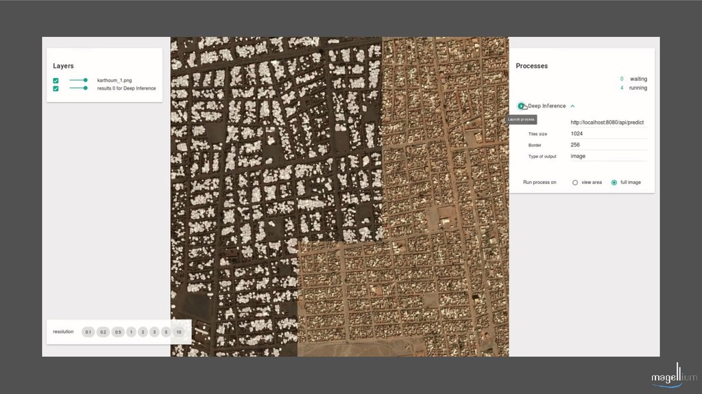
- Karthoum https://youtu.be/3K_-y0hCUJQ
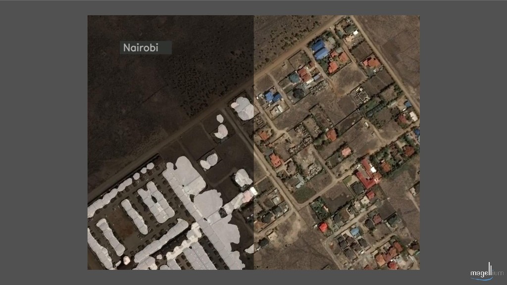
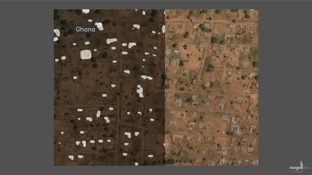
- Ghana https://youtu.be/qjCFuEY5GmQ
- WebApp https://youtu.be/FCOsRhPFr_k
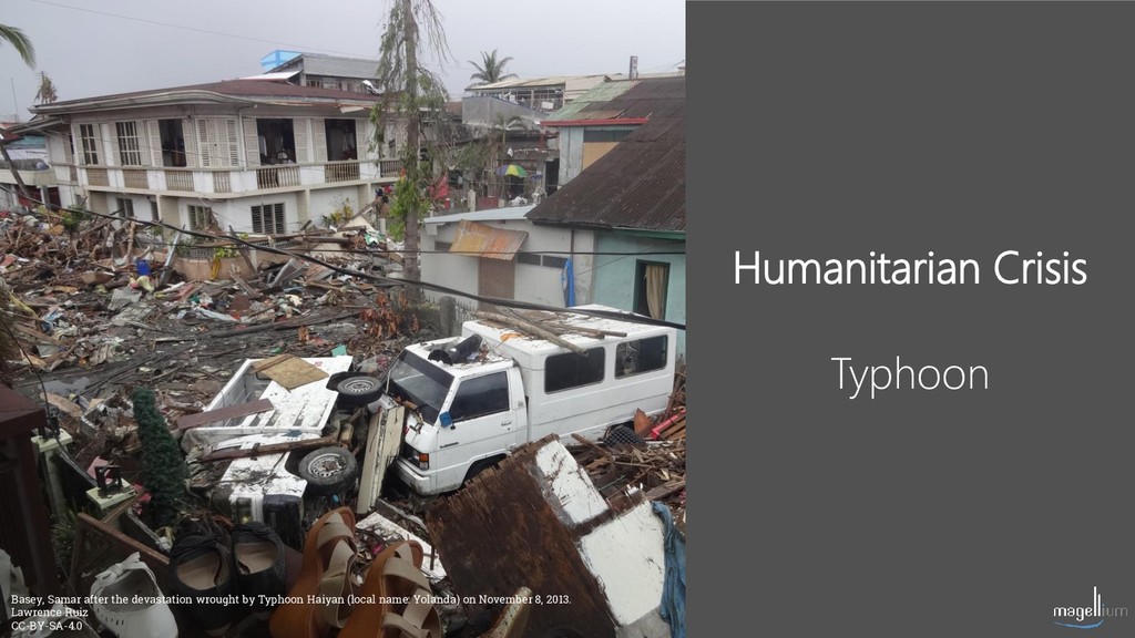
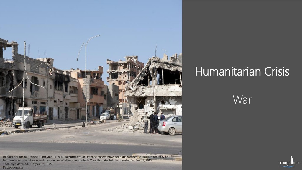
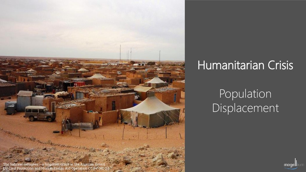
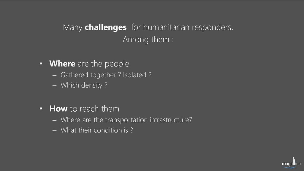
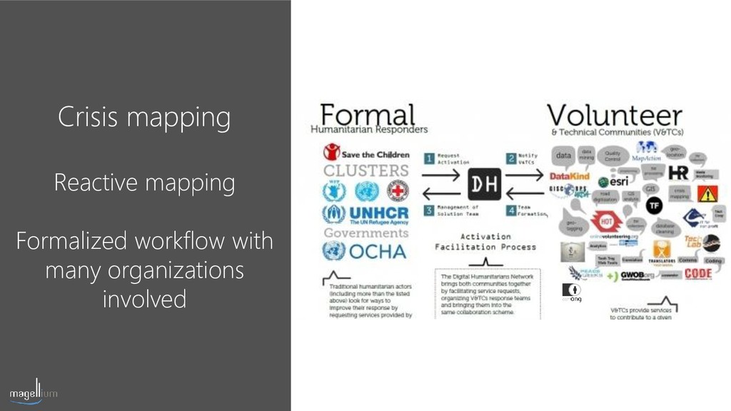
In order to provide assistance in humanitarian crisis, search & rescue teams needs up-to-date and accurate maps of affected areas. Many organizations assist them for this reactive need. Some are governmental (NATO, ESA..), others coordinate teams of volunteers in updating OpenStreetMap (CartONG, Map Give, Humanitarian OpenStreetMap Team, Missing Maps ...).
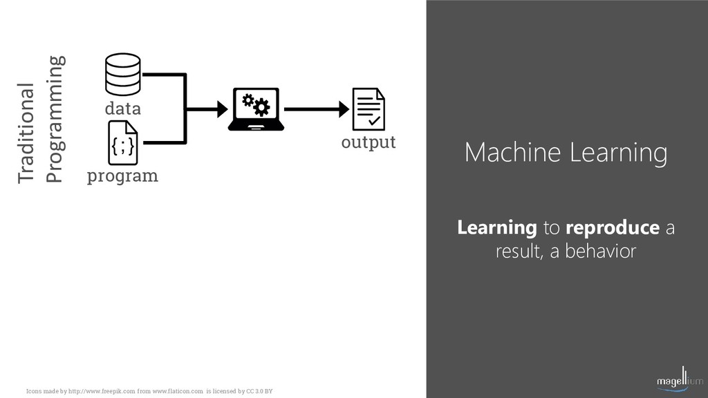
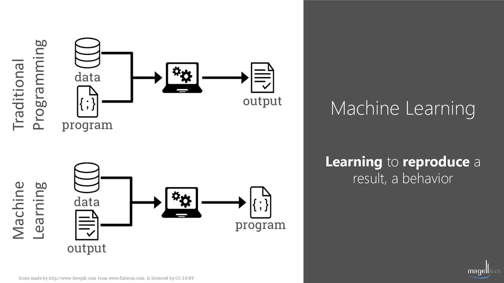
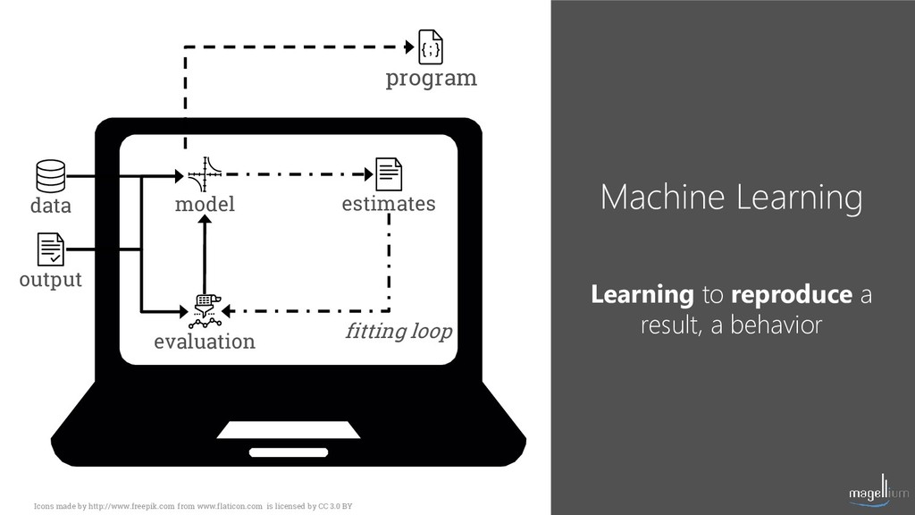
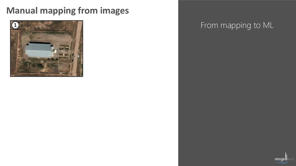
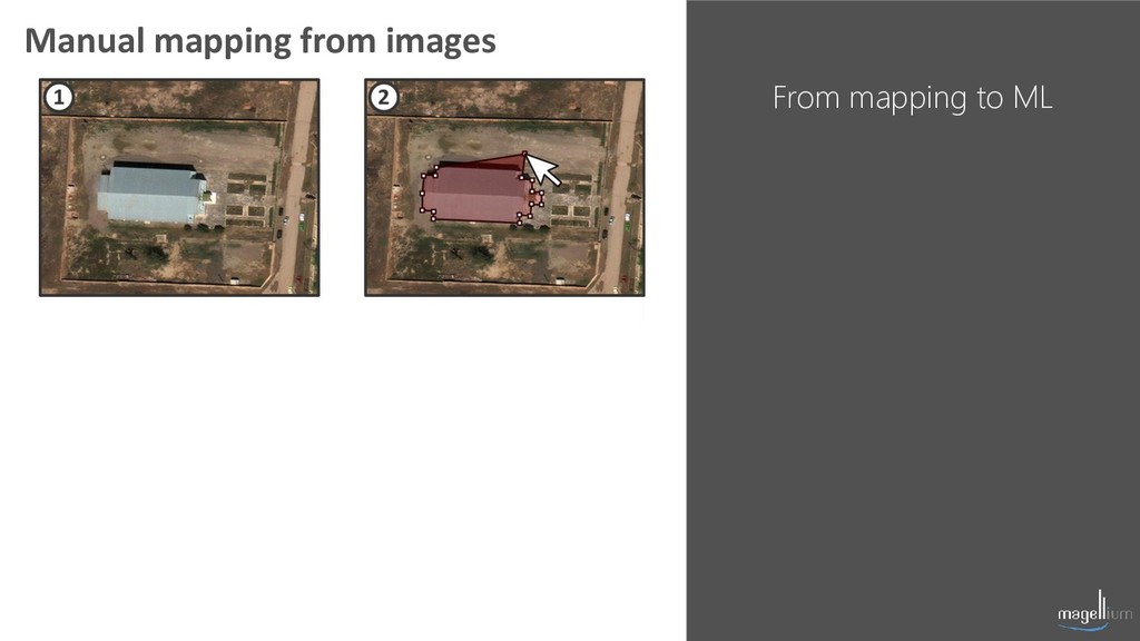
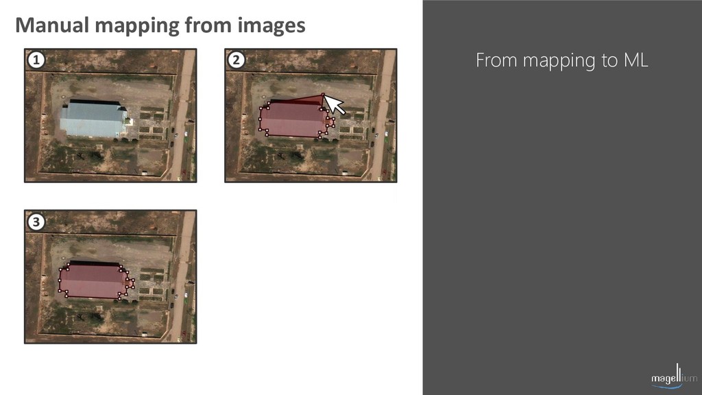
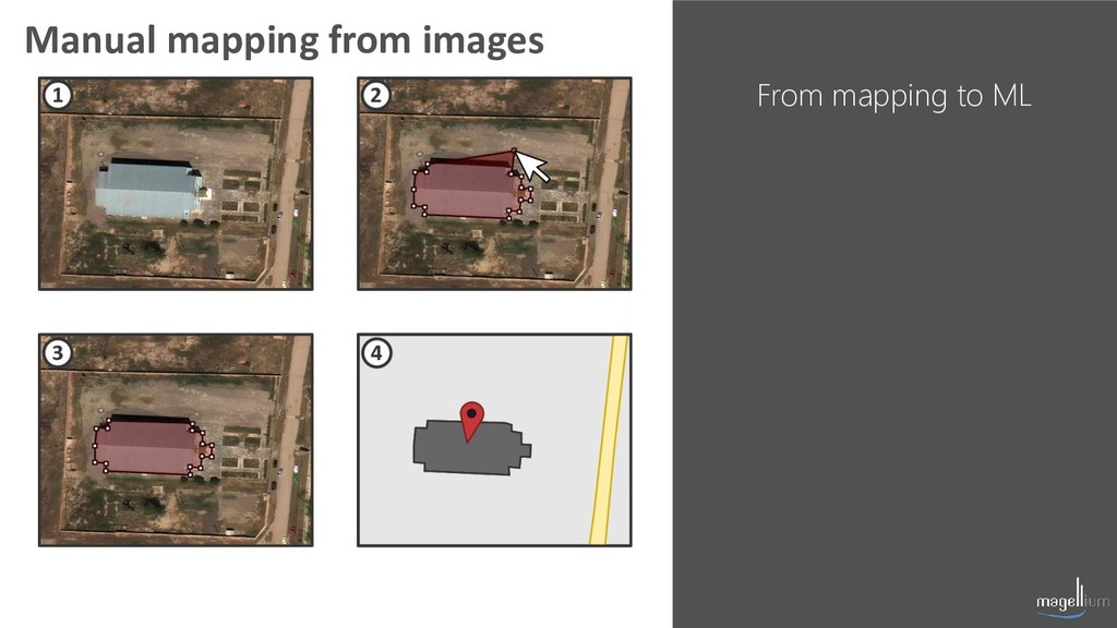
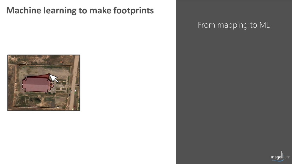
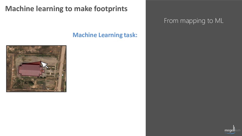
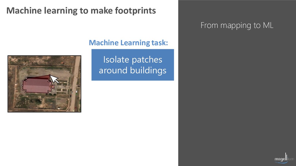
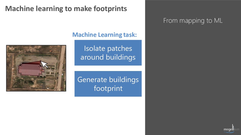
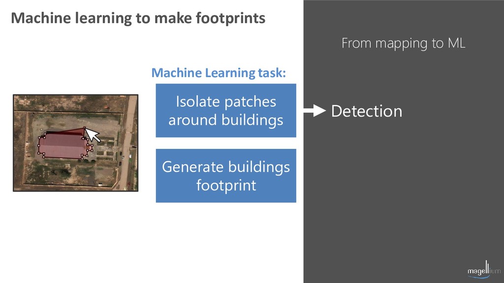
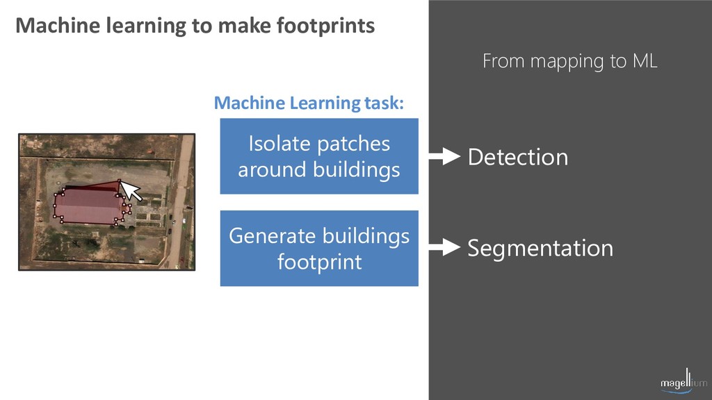
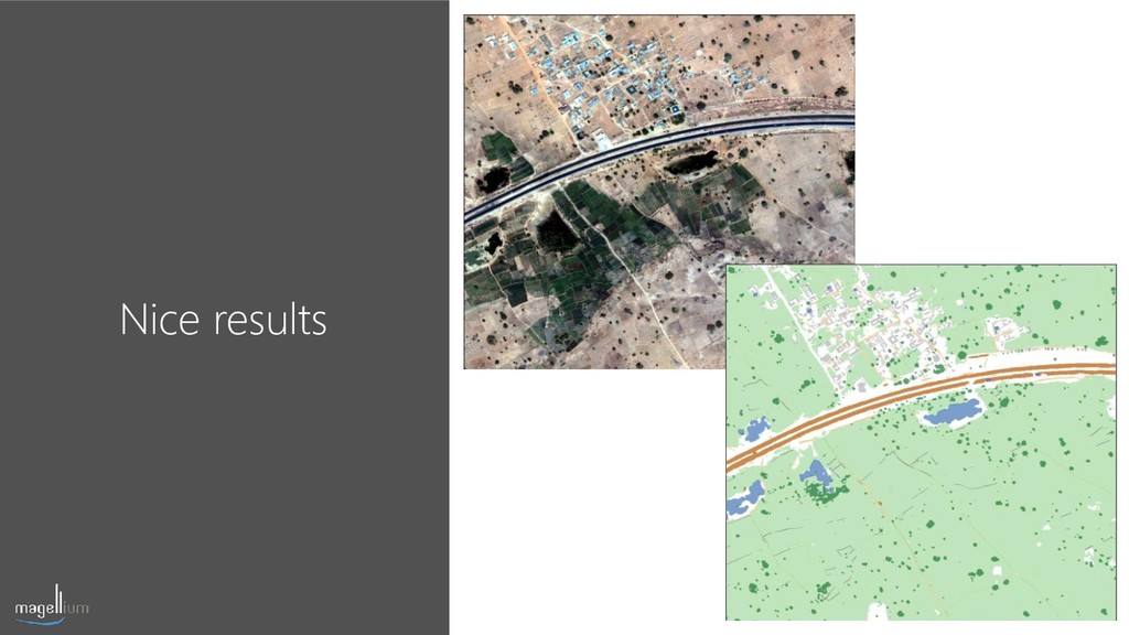
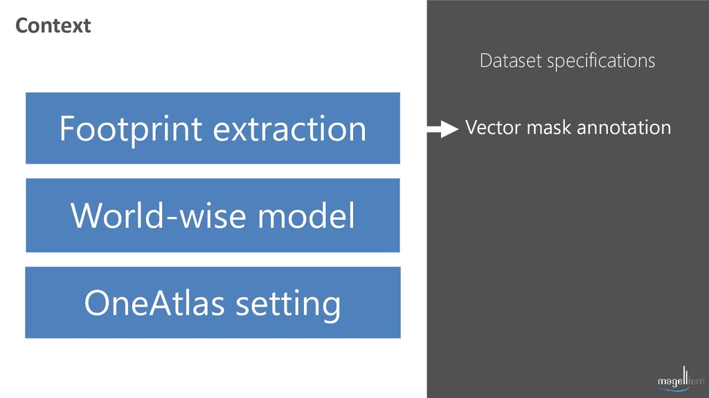
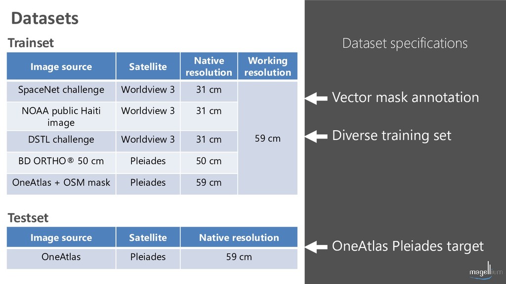
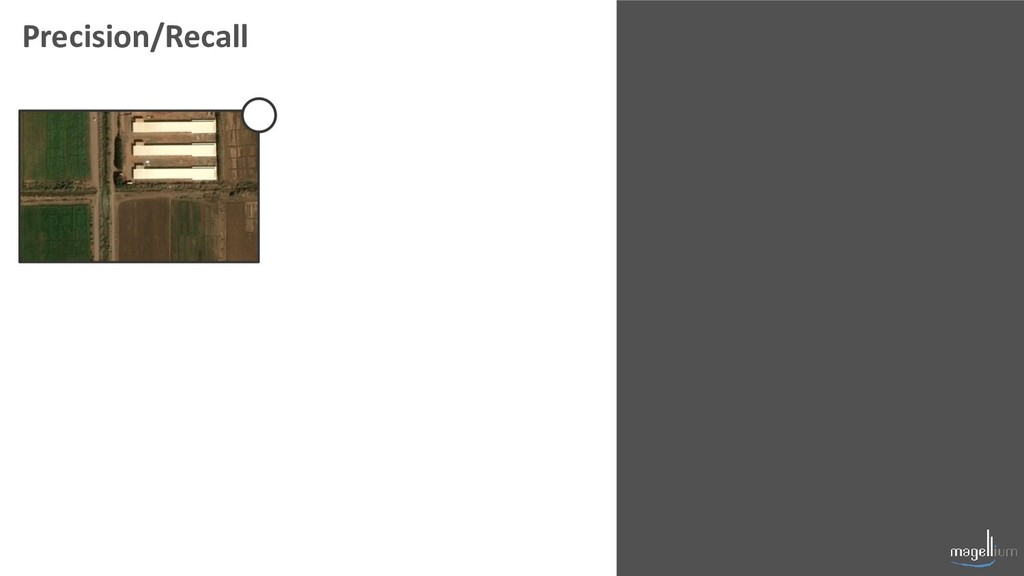
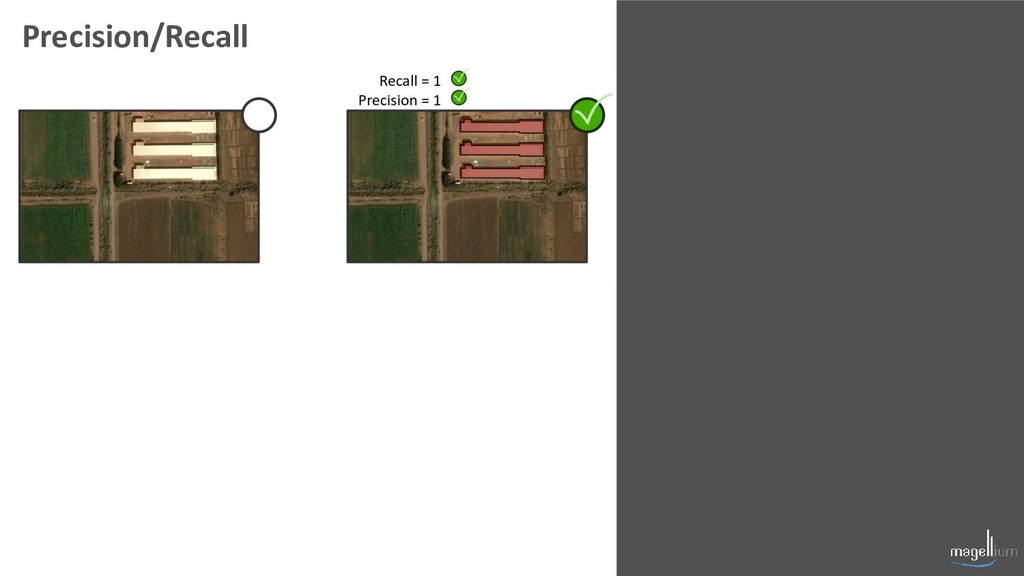
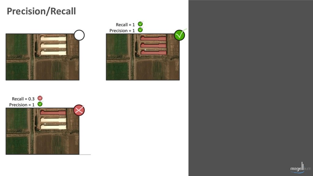
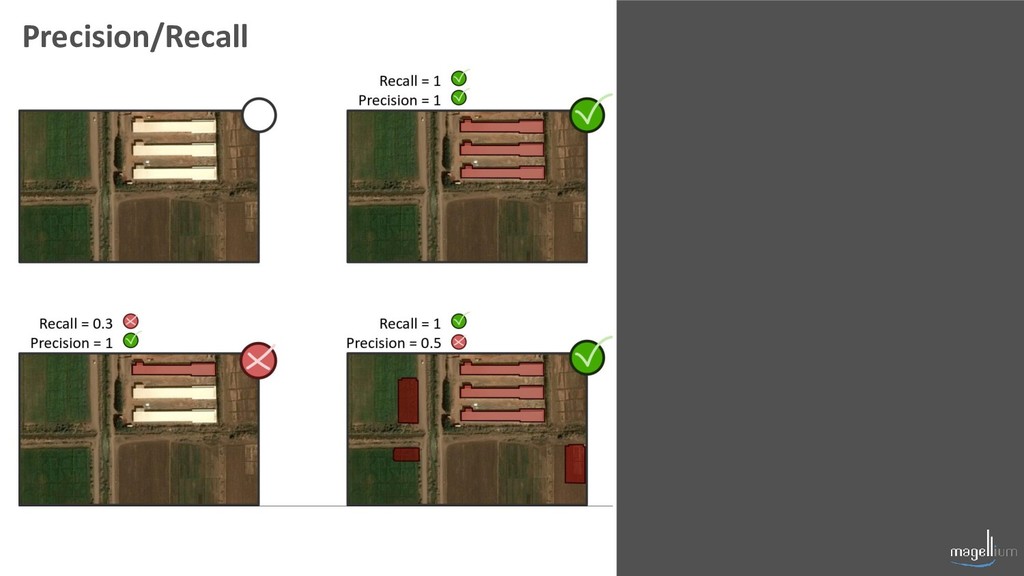
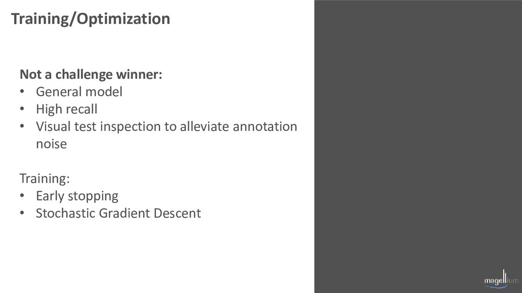
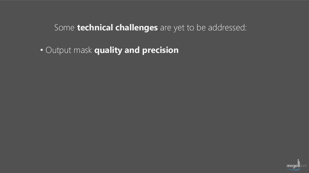
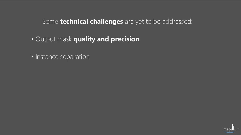
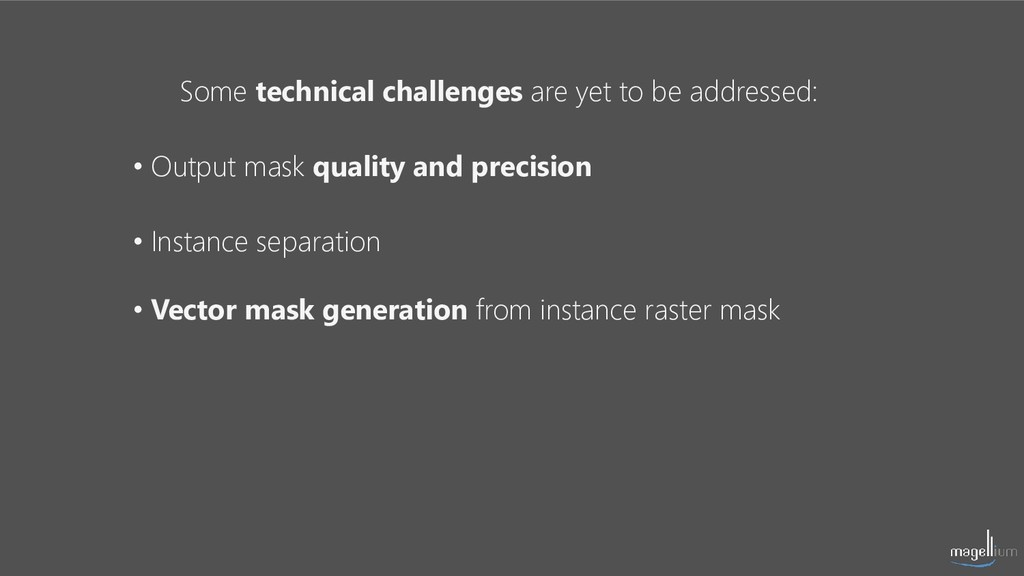
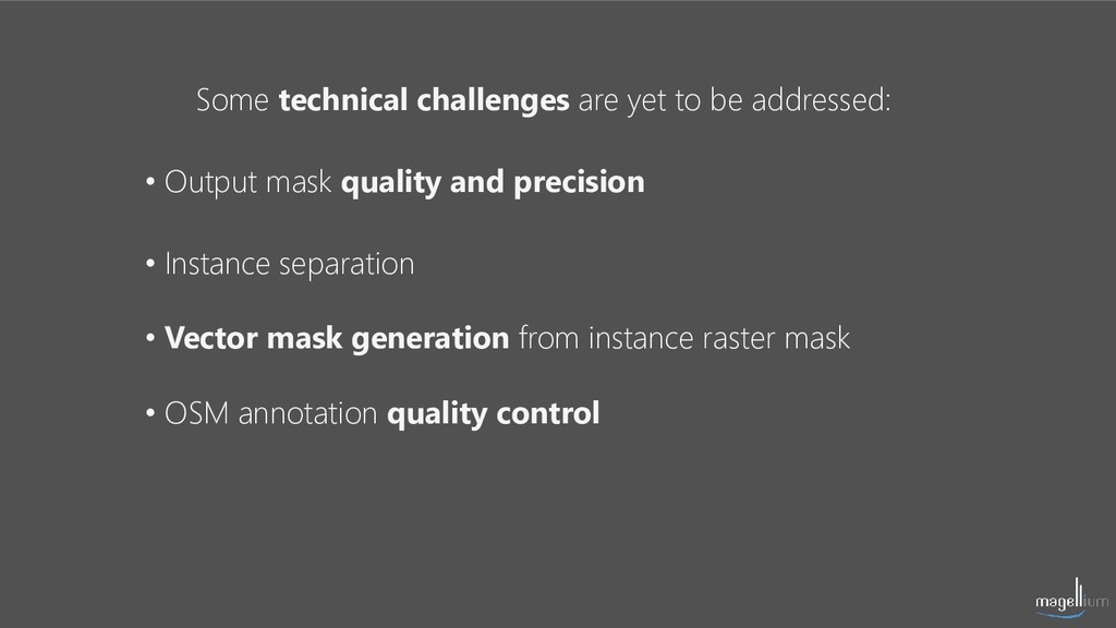
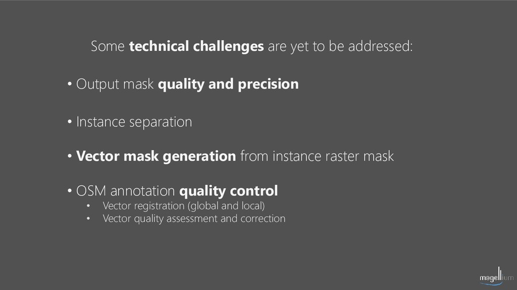
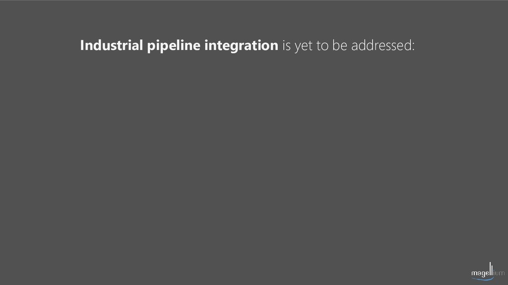
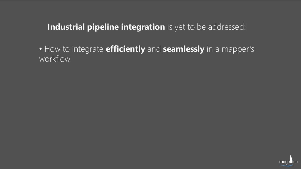
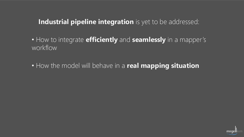
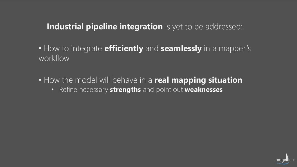
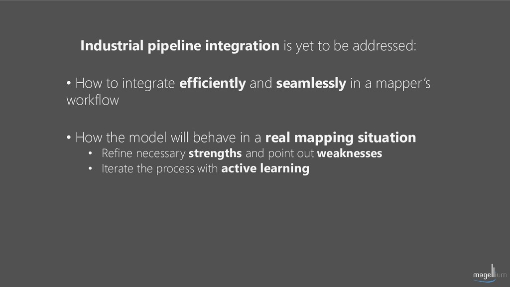
In such a reactive production, machine learning may be of great help to mappers. We have explored use cases of buildings detection and automatic extraction of building contours. We have tried to solve these problems with deep learning by combining OSM labelling and Pleiades & Spot imagery (CNES/Airbus DS).
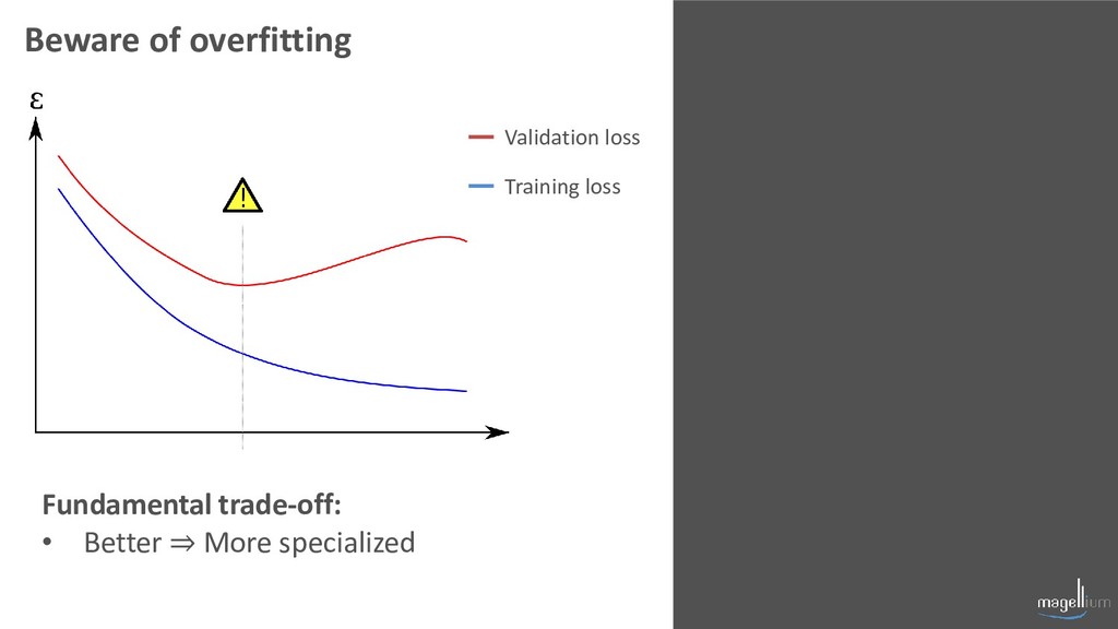
In this talk, we will review our results, provide an overview on our methodology and its limitations, and share some insights on how to obtain better models.
![PUTTING KNOWLEDGE ON THE MAP Thank you! contact: [email protected] [email protected]](https://files.speakerdeck.com/presentations/fa5c7f04417e48c1881dd7da99801362/slide_83.jpg)