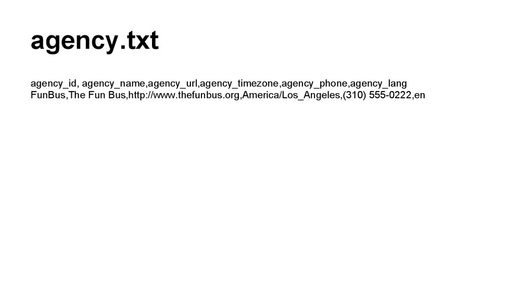
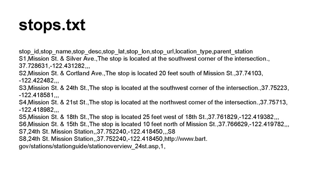
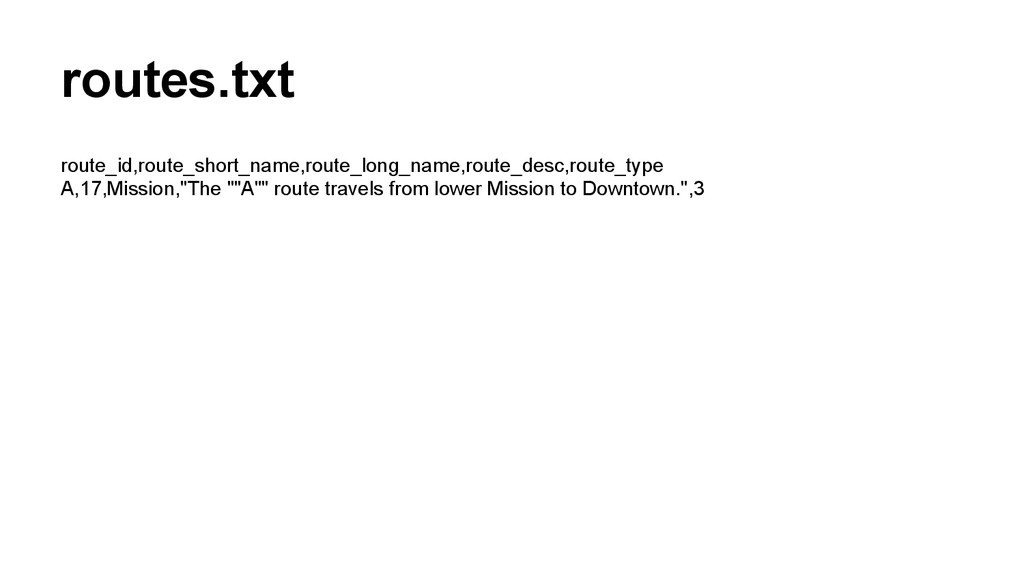
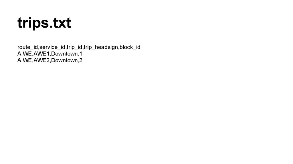
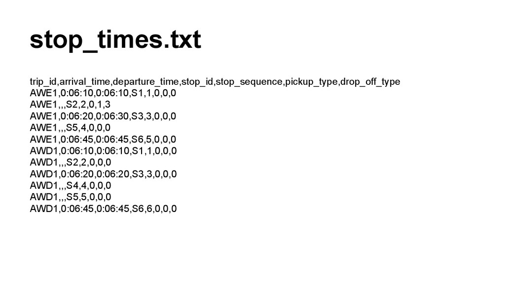
at the southwest corner of the intersection., 37.728631,-122.431282,,, S2,Mission St. & Cortland Ave.,The stop is located 20 feet south of Mission St.,37.74103, -122.422482,,, S3,Mission St. & 24th St.,The stop is located at the southwest corner of the intersection.,37.75223, -122.418581,,, S4,Mission St. & 21st St.,The stop is located at the northwest corner of the intersection.,37.75713, -122.418982,,, S5,Mission St. & 18th St.,The stop is located 25 feet west of 18th St.,37.761829,-122.419382,,, S6,Mission St. & 15th St.,The stop is located 10 feet north of Mission St.,37.766629,-122.419782,,, S7,24th St. Mission Station,,37.752240,-122.418450,,,S8 S8,24th St. Mission Station,,37.752240,-122.418450,http://www.bart. gov/stations/stationguide/stationoverview_24st.asp,1,


 mavenik
 kworkdev
 ivry_presentationmaterials
 akhino
 yuuuuuuu168
 teamlab
 kenichiodo
 shumei_ito
 ishikawa_satoru
 ueponx
 carta_engineering
 shugo
 codmoninc
 cassininazir
 marktimemedia
 samlambert
 destraynor
 codingconduct
 trishagee
 keavy
 reverentgeek
 watany
 trallard
 davidcarrasco