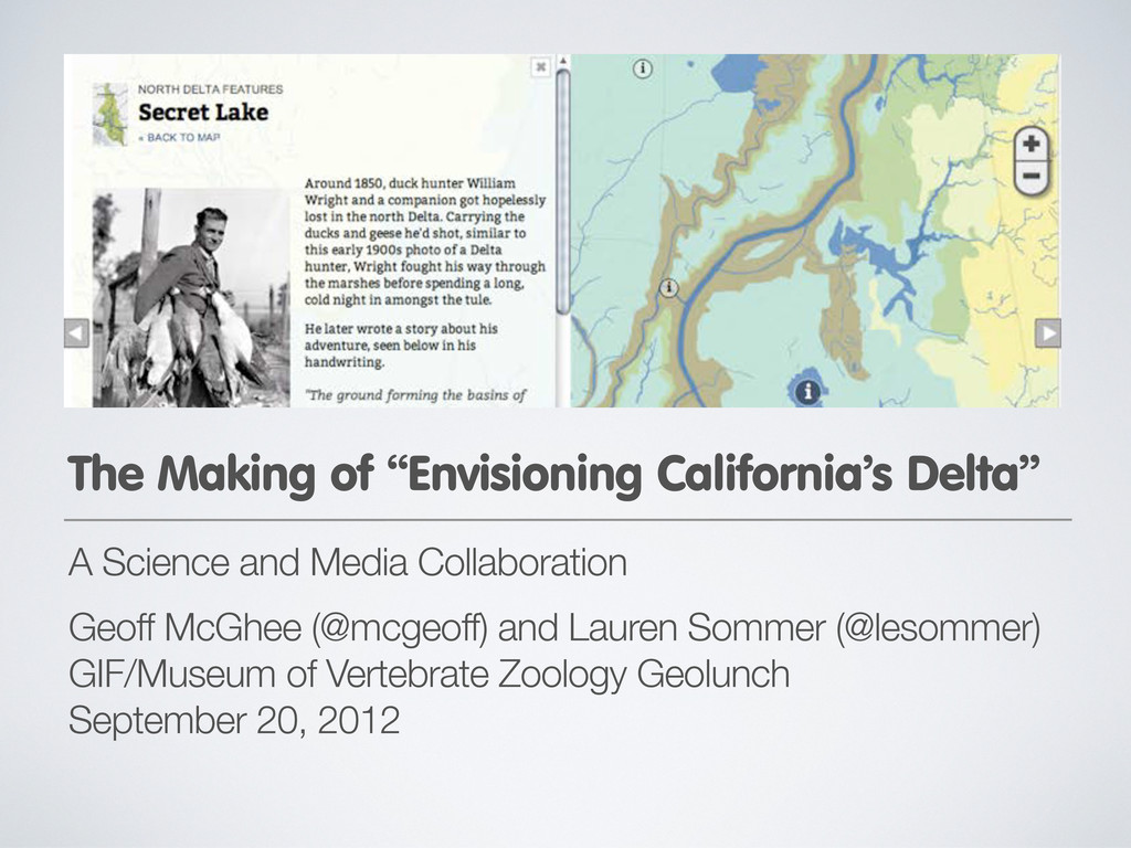
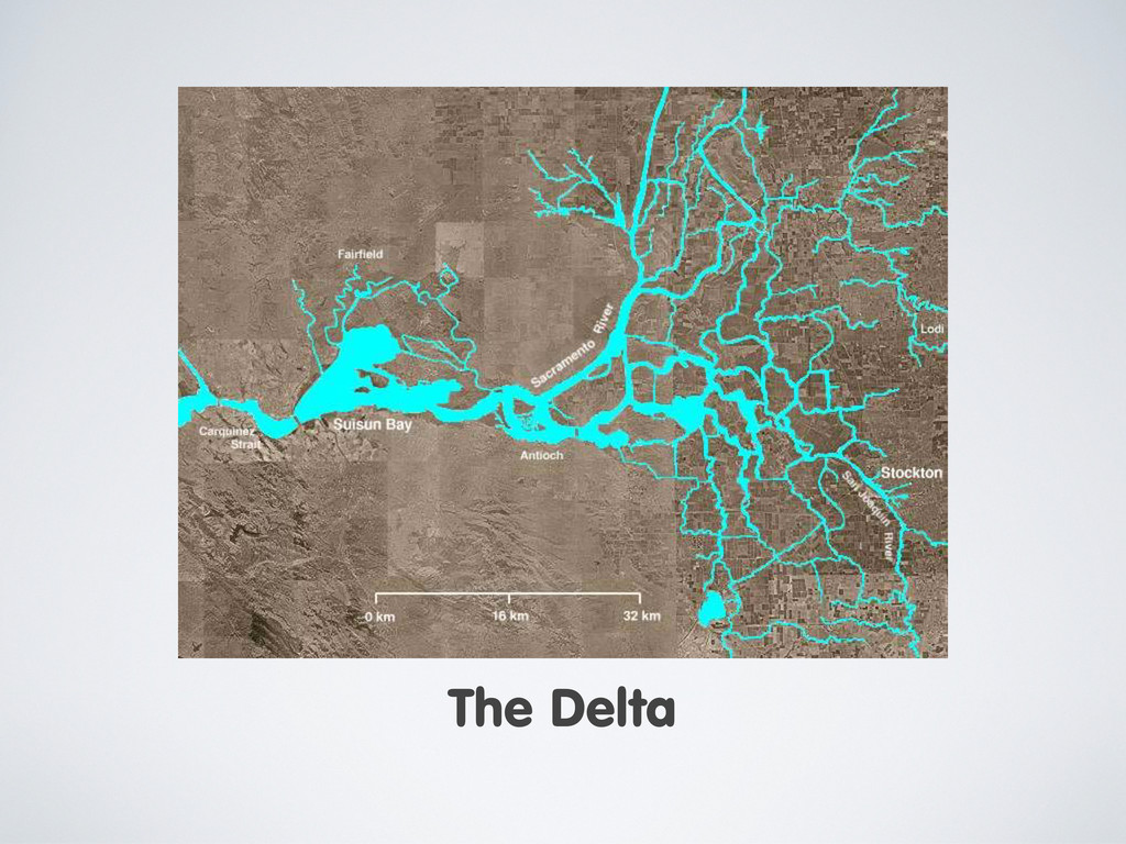
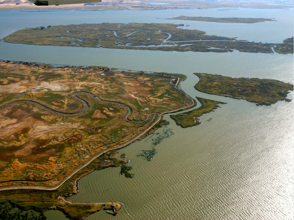
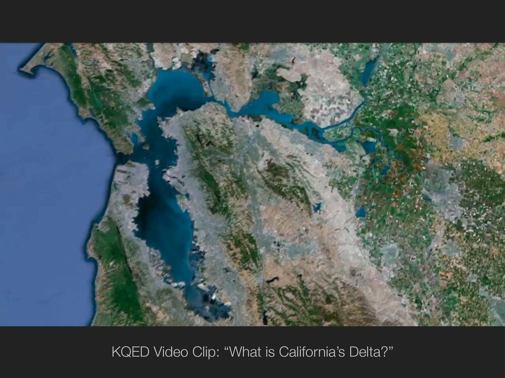
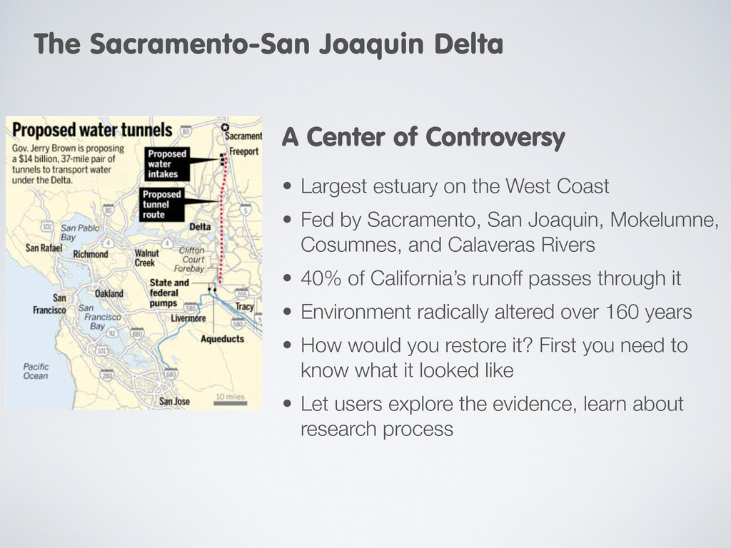
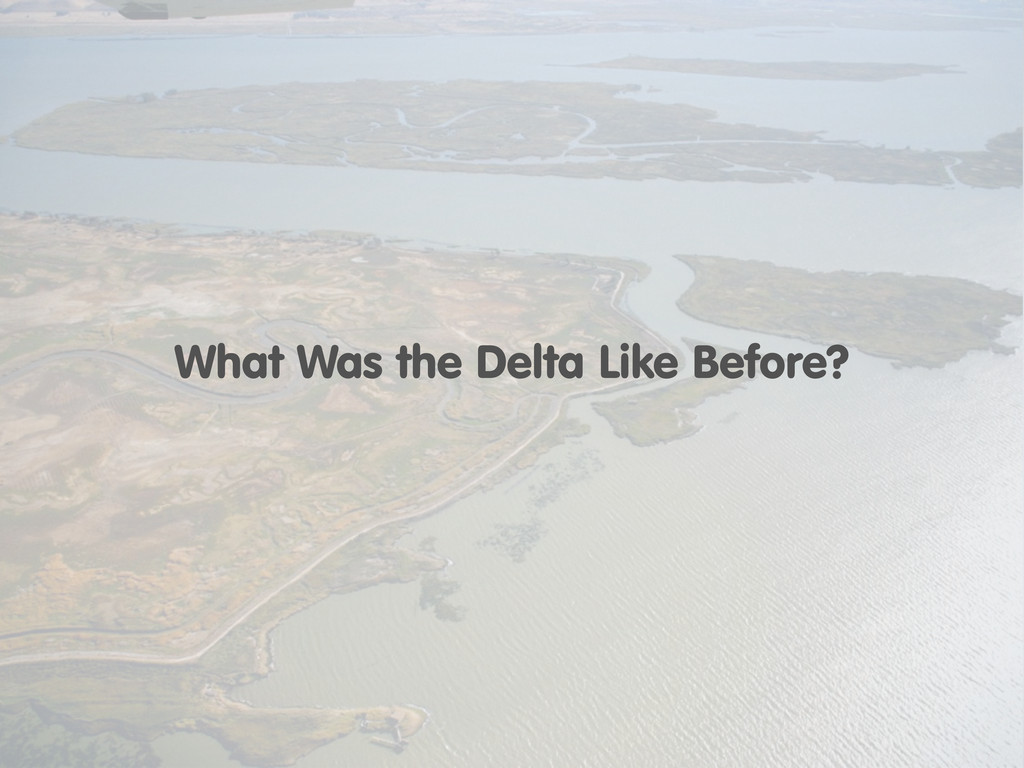
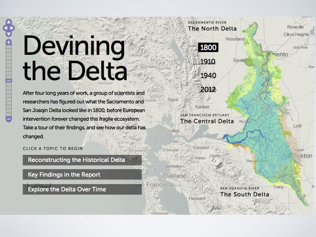
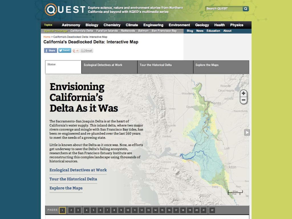
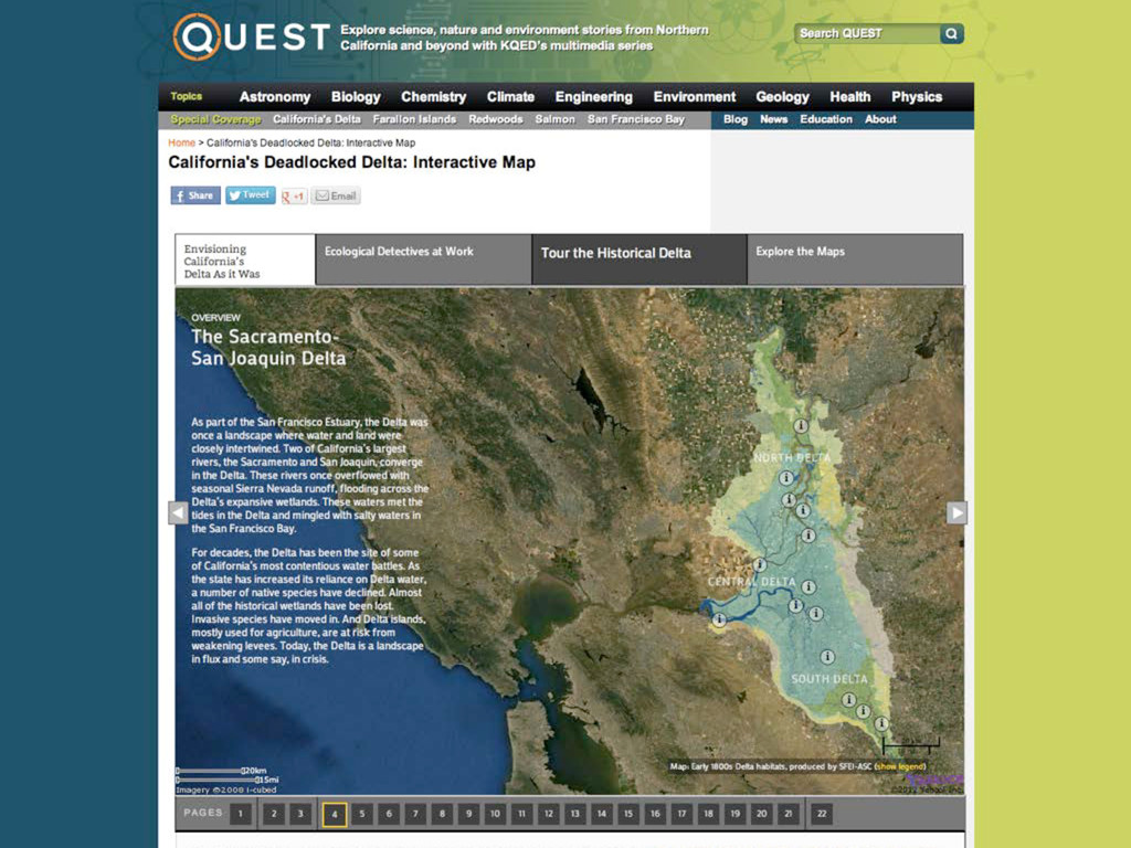
Sacramento, San Joaquin, Mokelumne, Cosumnes, and Calaveras Rivers • 40% of California’s runoff passes through it • Environment radically altered over 160 years • How would you restore it? First you need to know what it looked like • Let users explore the evidence, learn about research process A Center of Controversy The Sacramento-San Joaquin Delta
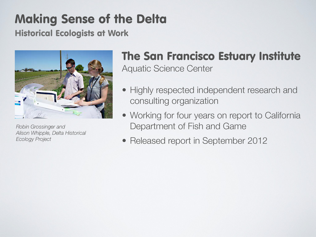
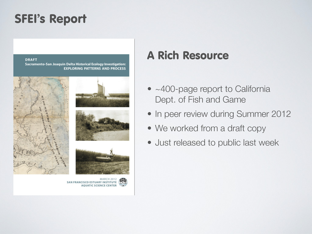
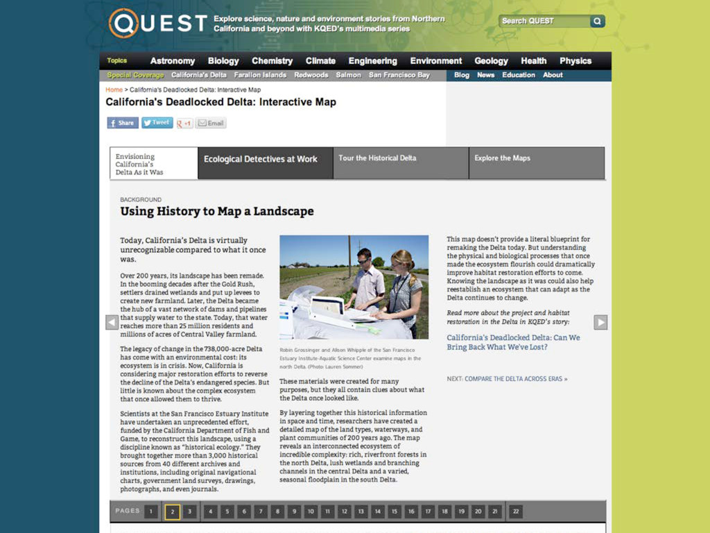
for four years on report to California Department of Fish and Game • Released report in September 2012 The San Francisco Estuary Institute Aquatic Science Center Making Sense of the Delta Historical Ecologists at Work Robin Grossinger and Alison Whipple, Delta Historical Ecology Project
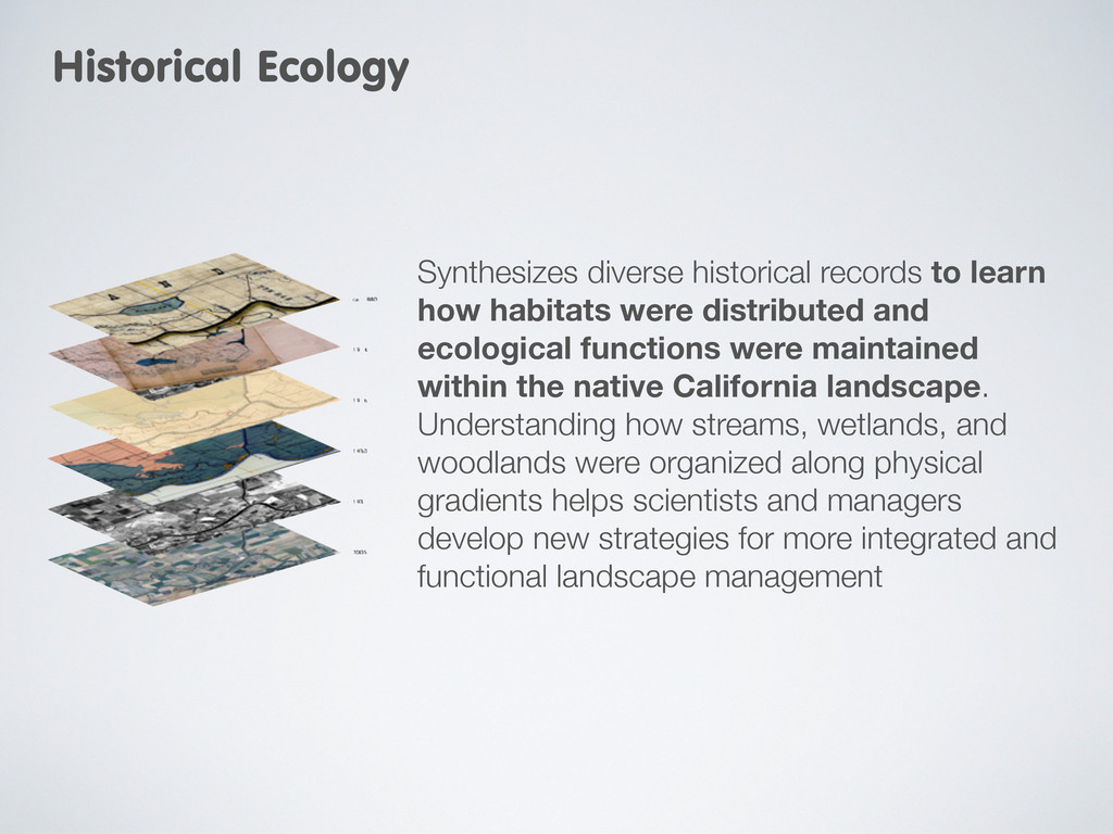
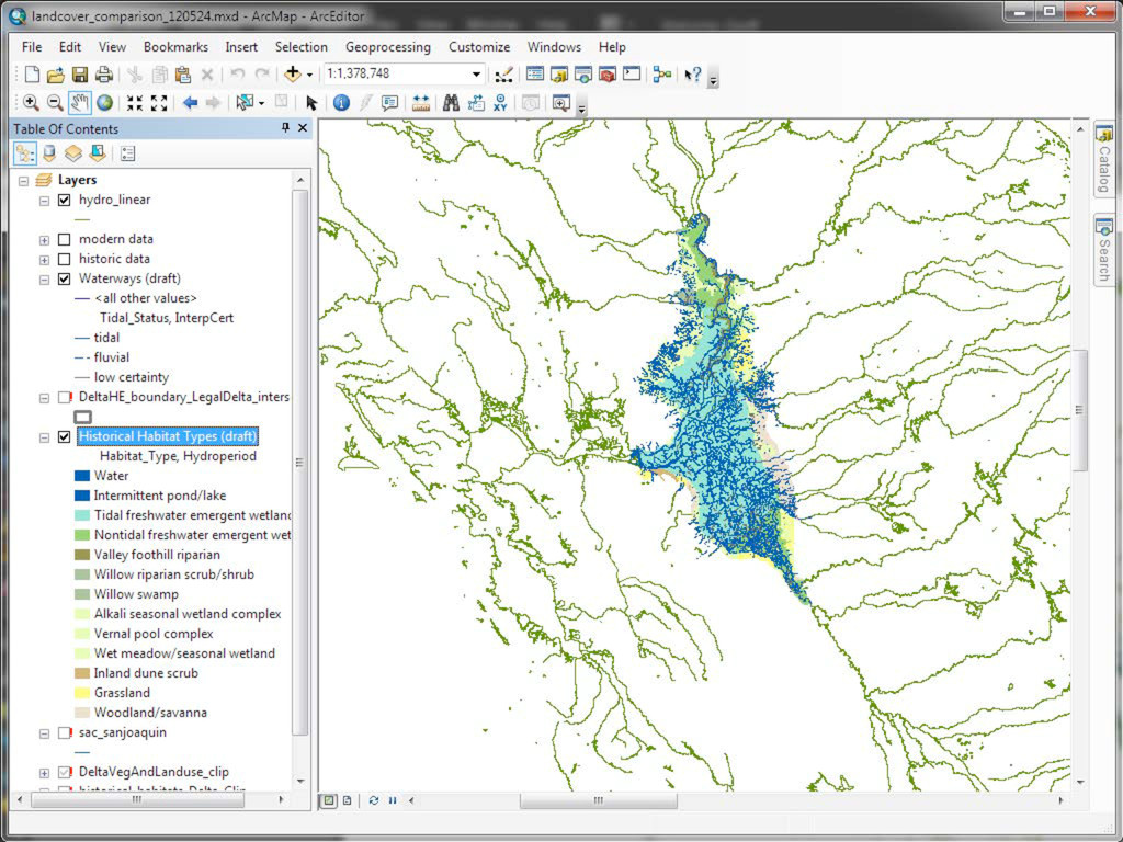
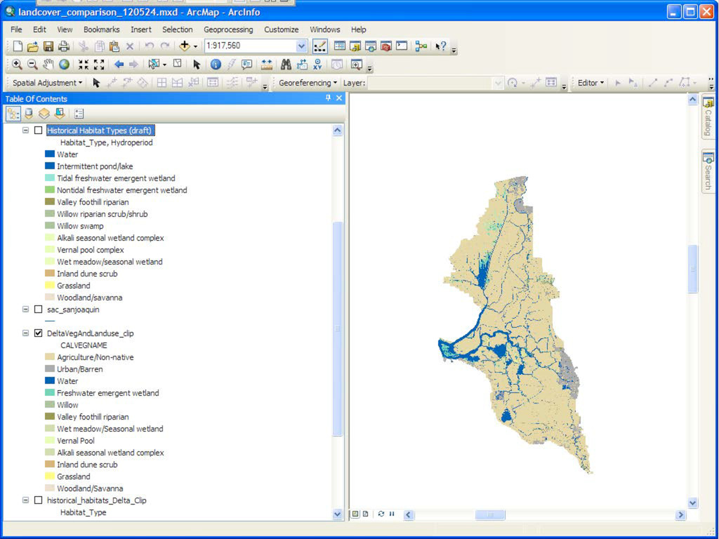
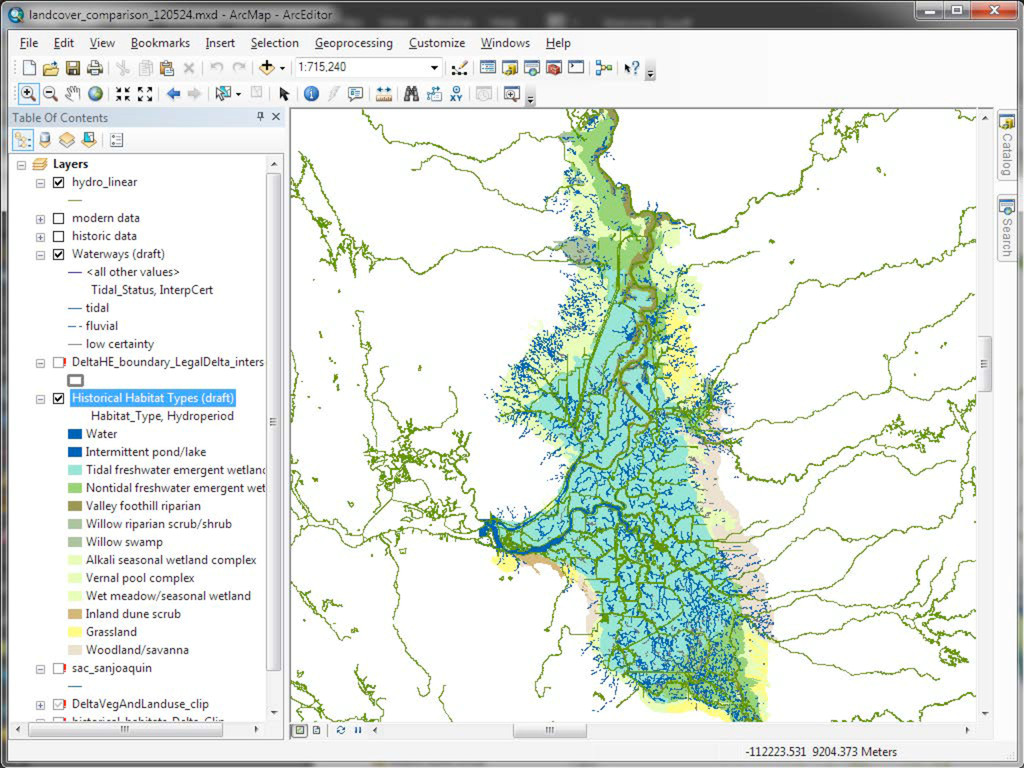
were distributed and ecological functions were maintained within the native California landscape. Understanding how streams, wetlands, and woodlands were organized along physical gradients helps scientists and managers develop new strategies for more integrated and functional landscape management
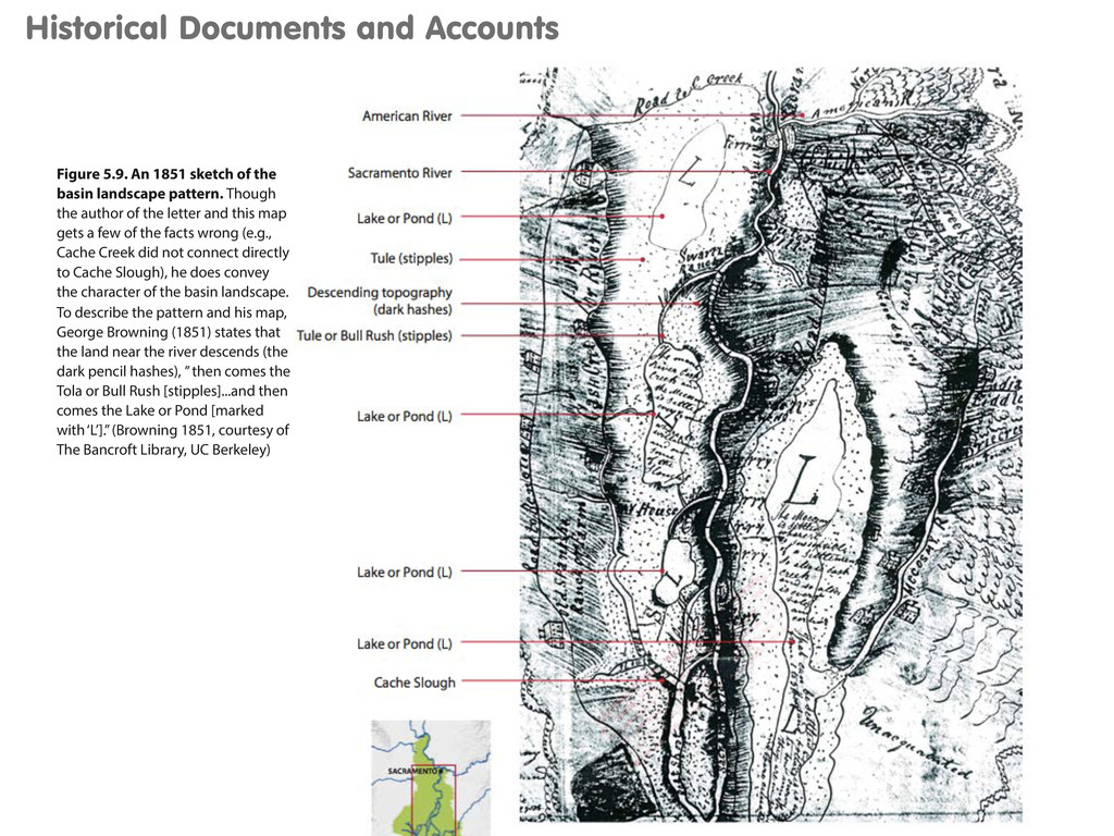
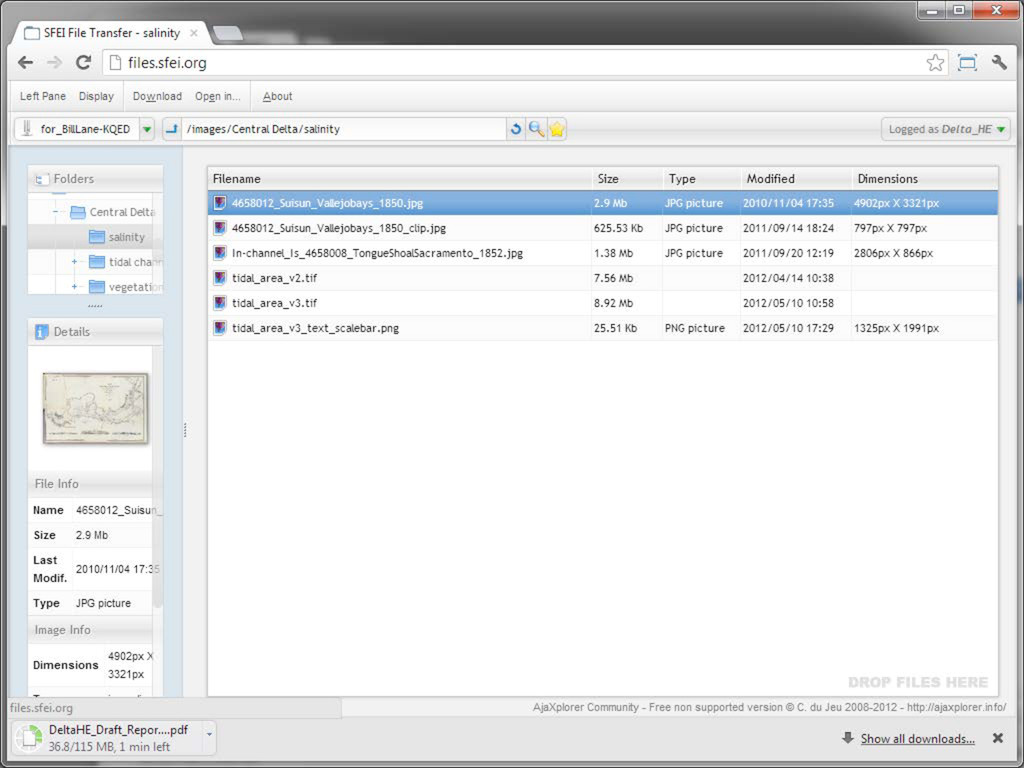
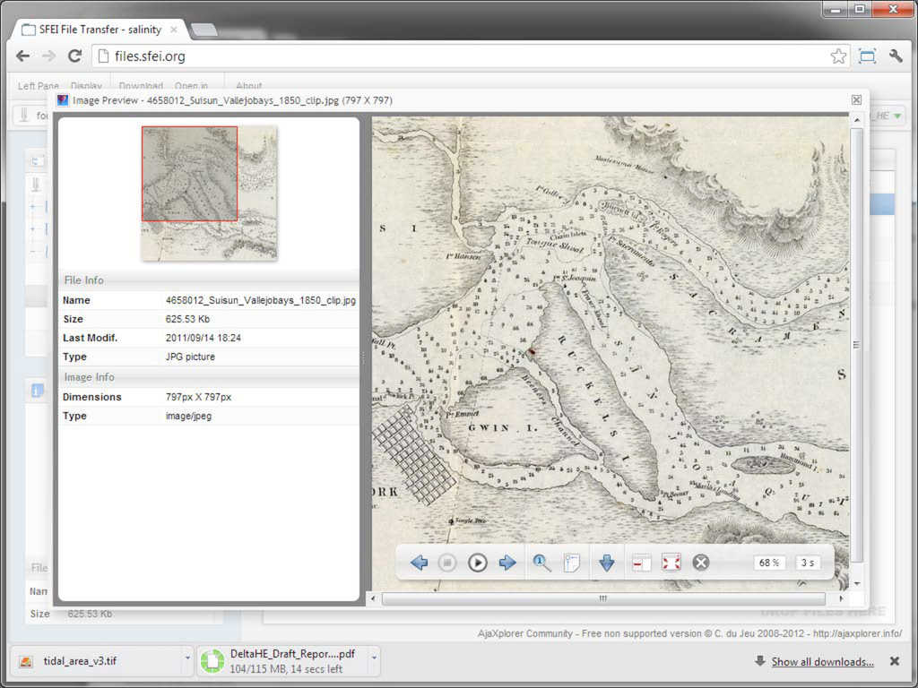
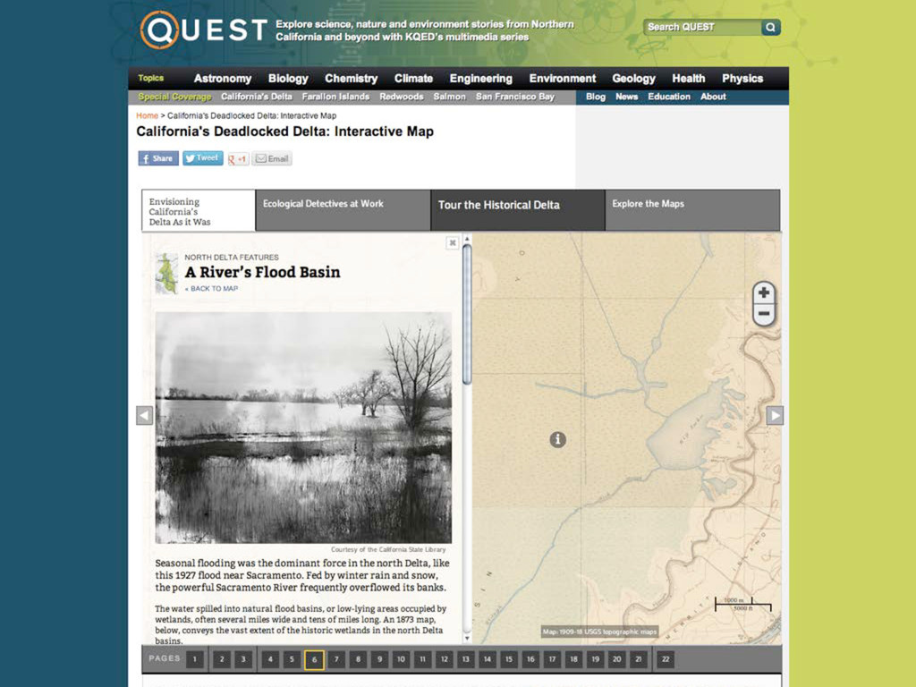
the basin landscape pattern. Though the author of the letter and this map gets a few of the facts wrong (e.g., Cache Creek did not connect directly to Cache Slough), he does convey the character of the basin landscape. To describe the pattern and his map, George Browning (1851) states that the land near the river descends (the dark pencil hashes), ” then comes the Tola or Bull Rush [stipples]...and then comes the Lake or Pond [marked with ‘L’].” (Browning 1851, courtesy of The Bancroft Library, UC Berkeley)
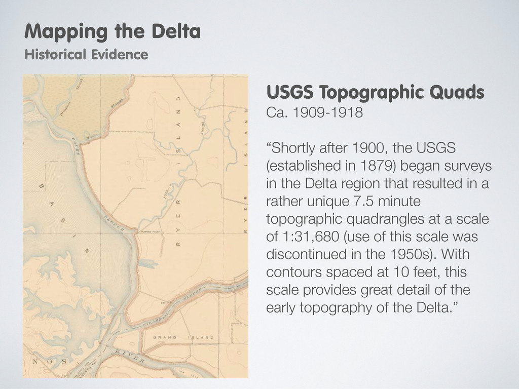
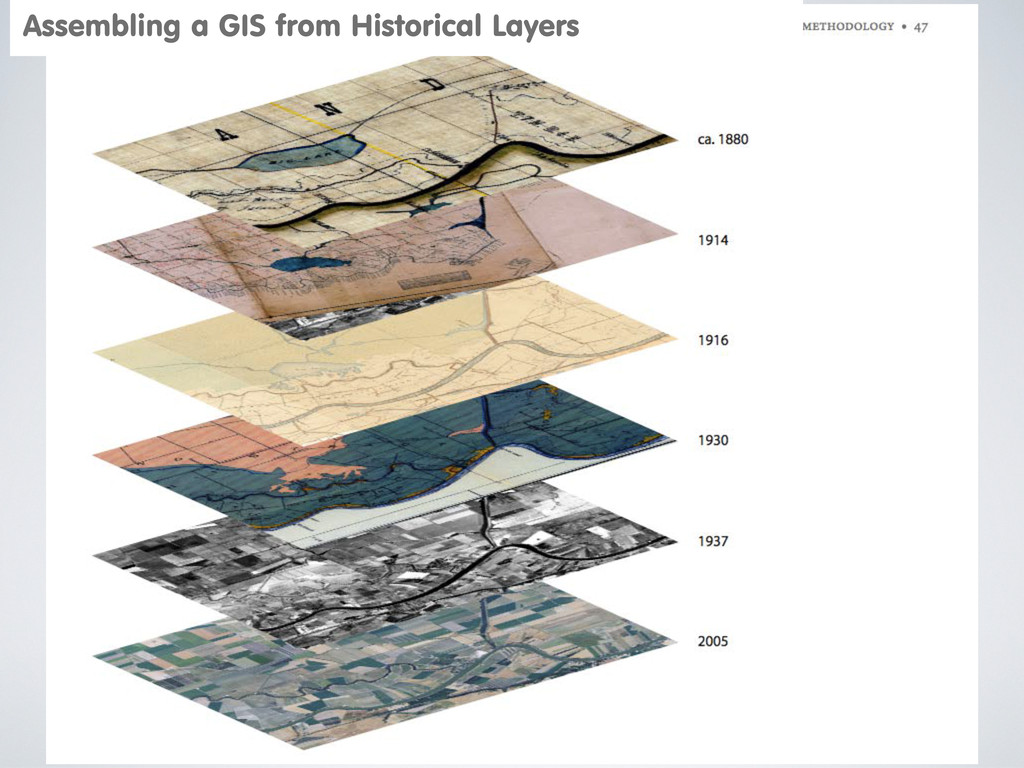
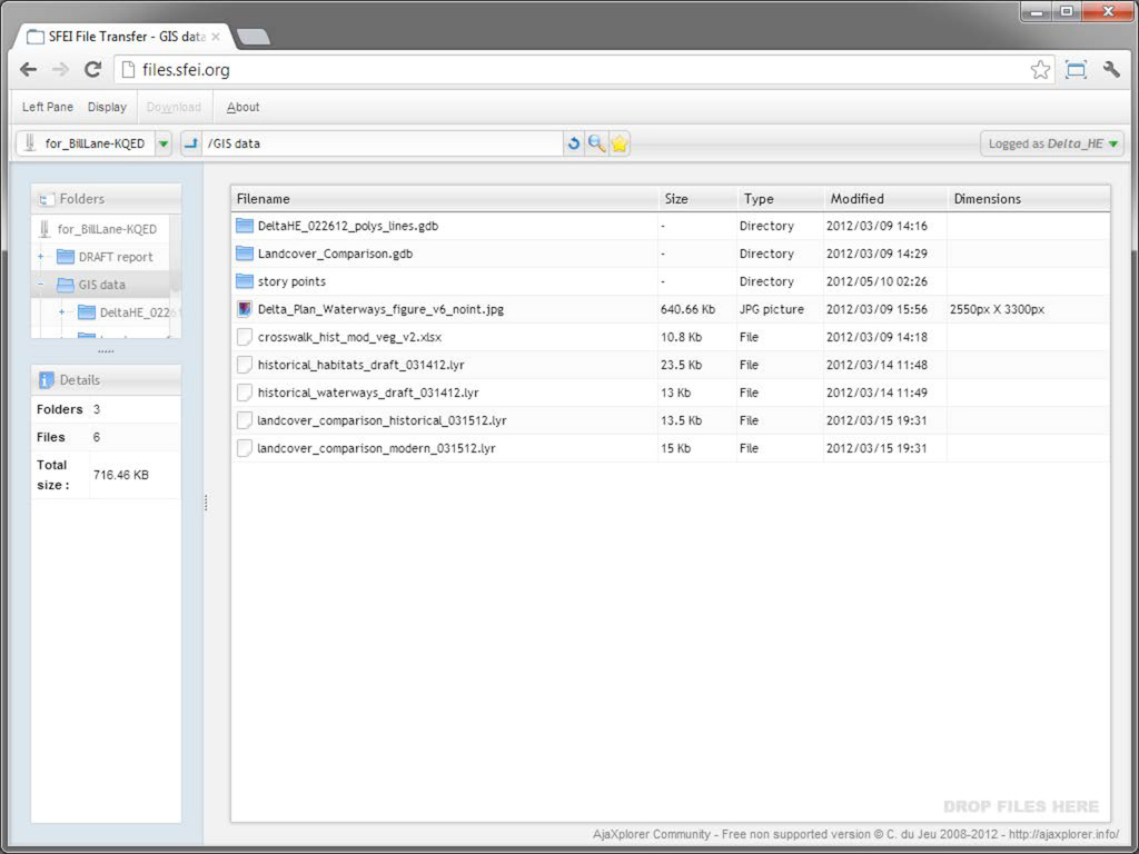
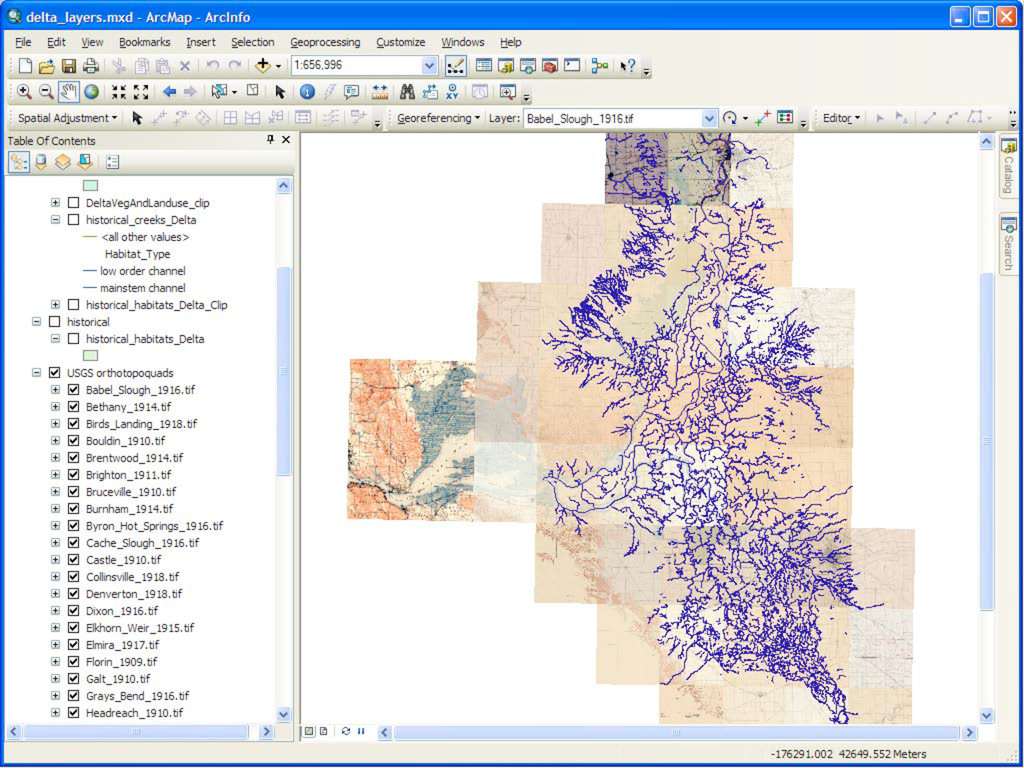
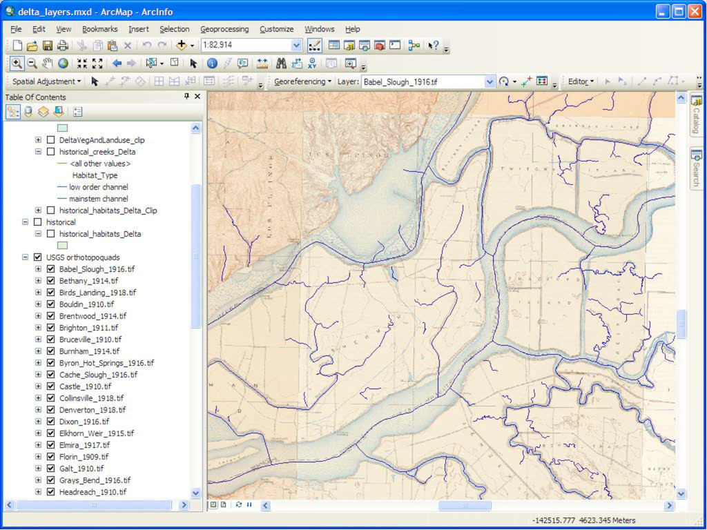
in the Delta region that resulted in a rather unique 7.5 minute topographic quadrangles at a scale of 1:31,680 (use of this scale was discontinued in the 1950s). With contours spaced at 10 feet, this scale provides great detail of the early topography of the Delta.” USGS Topographic Quads Ca. 1909-1918 Mapping the Delta Historical Evidence
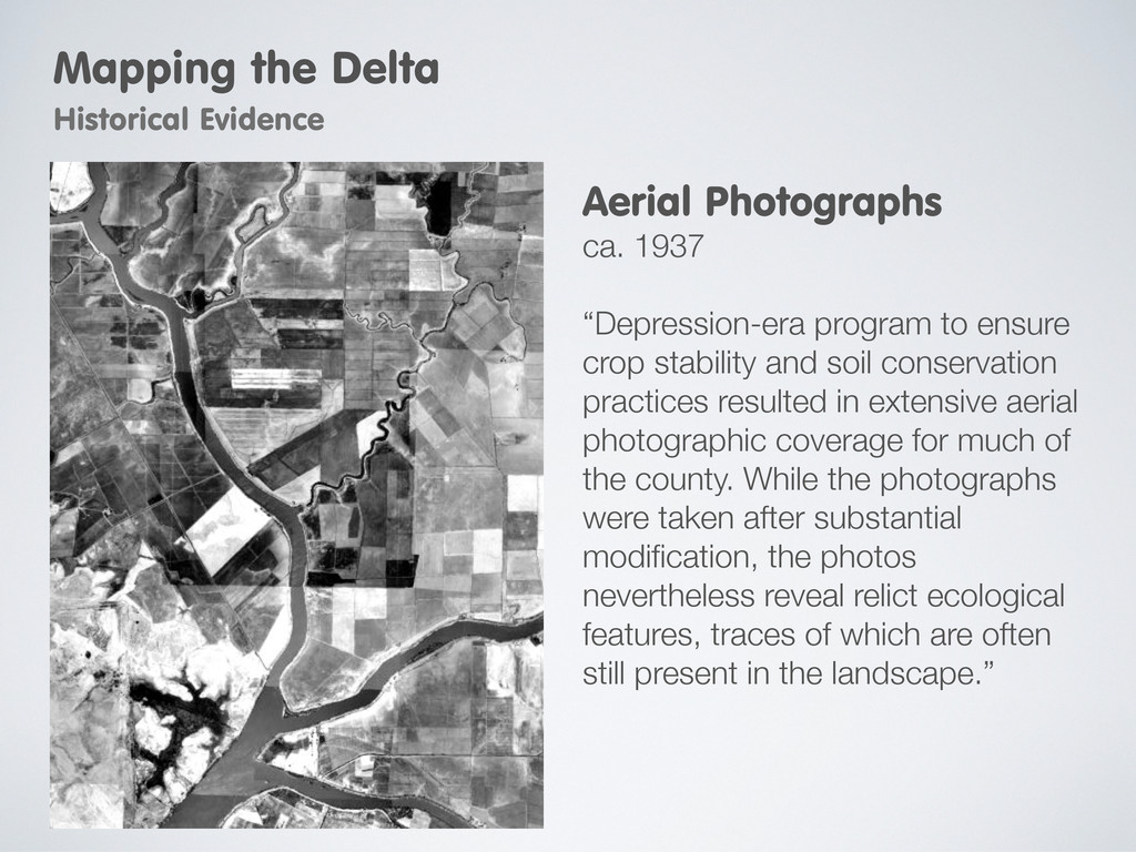
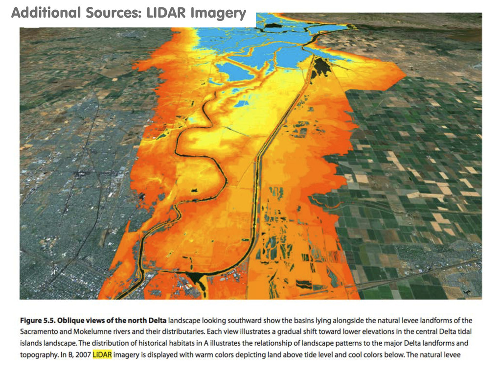
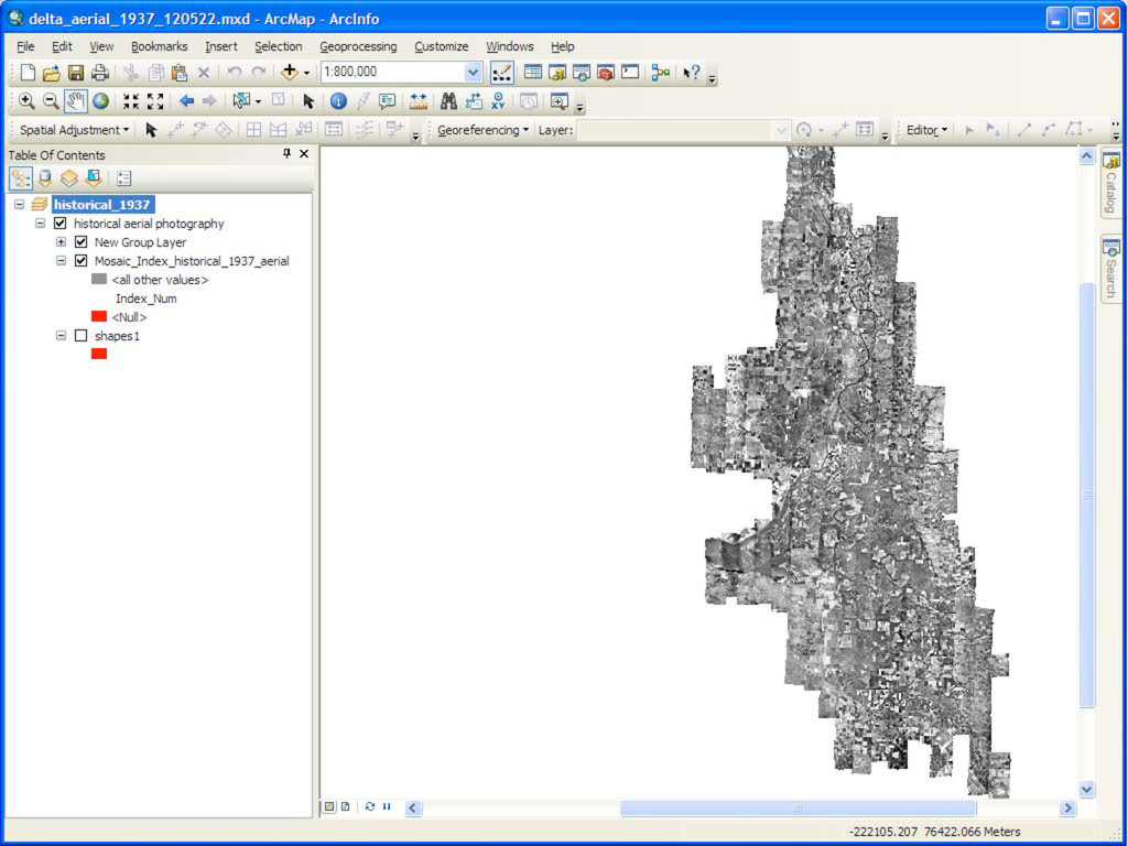
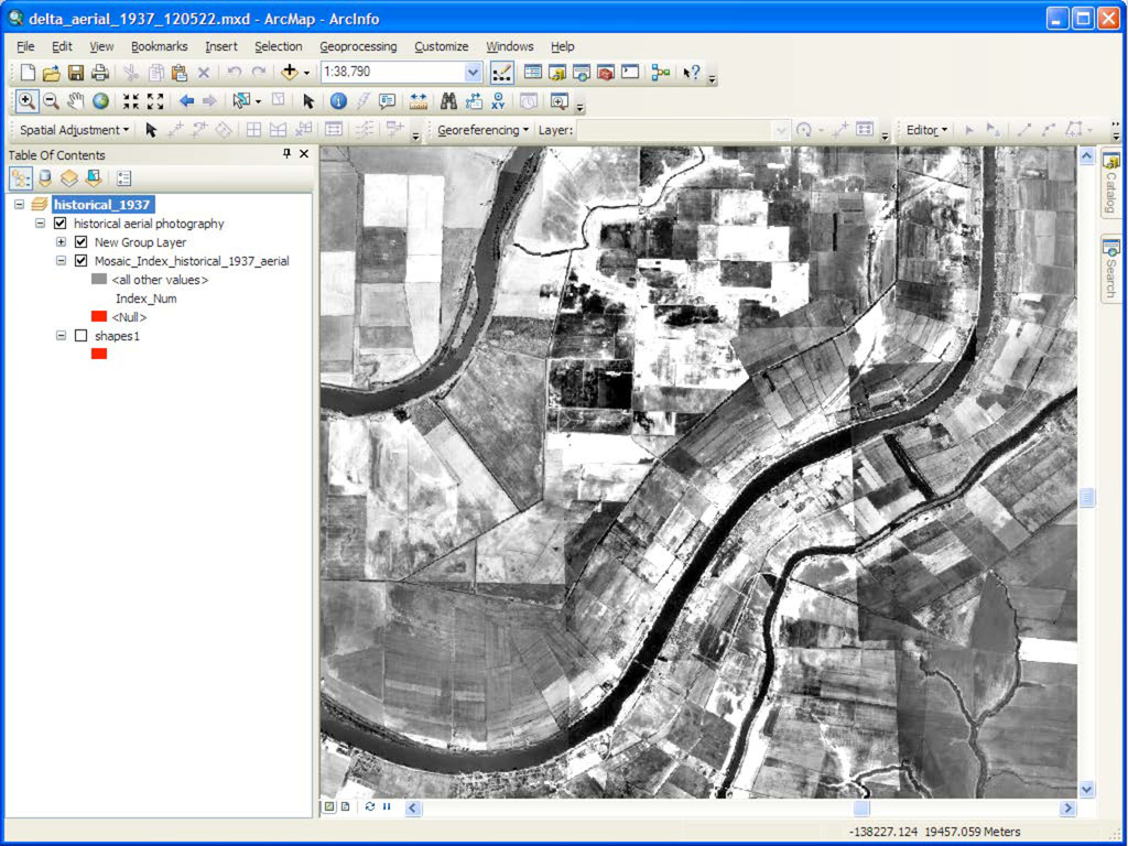
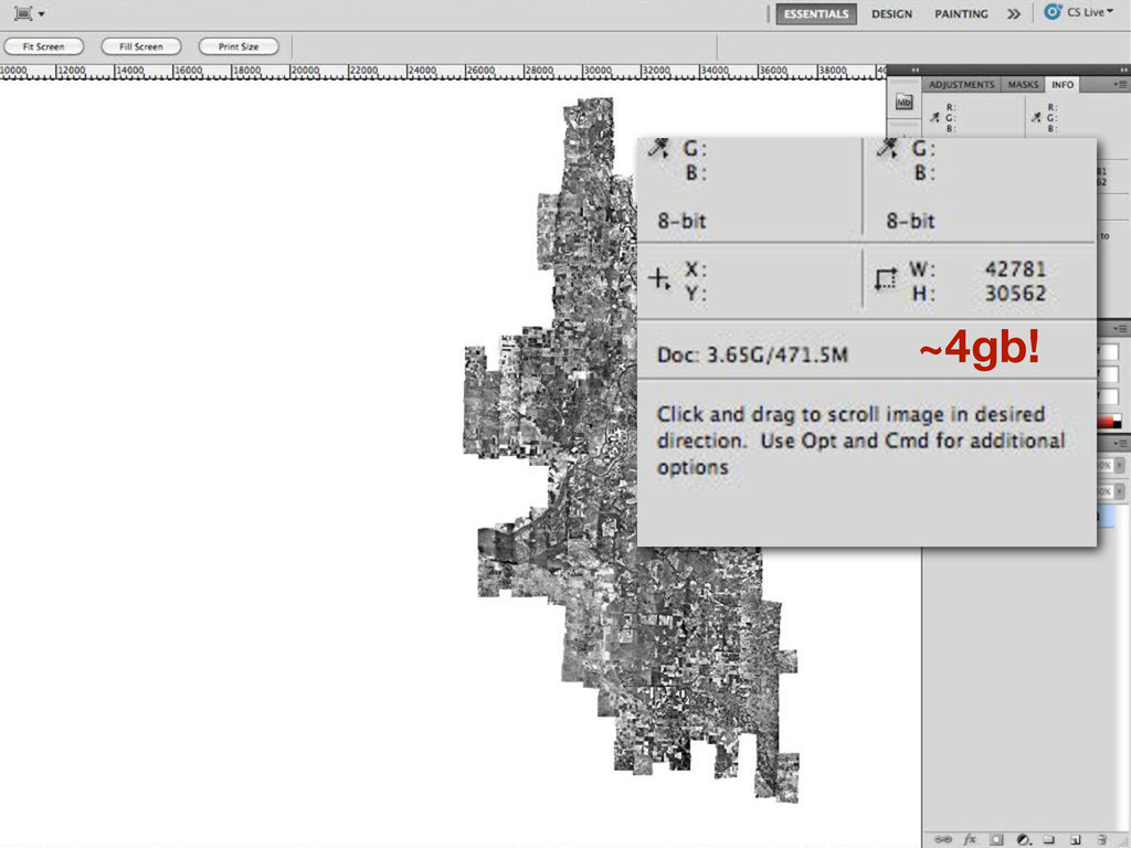
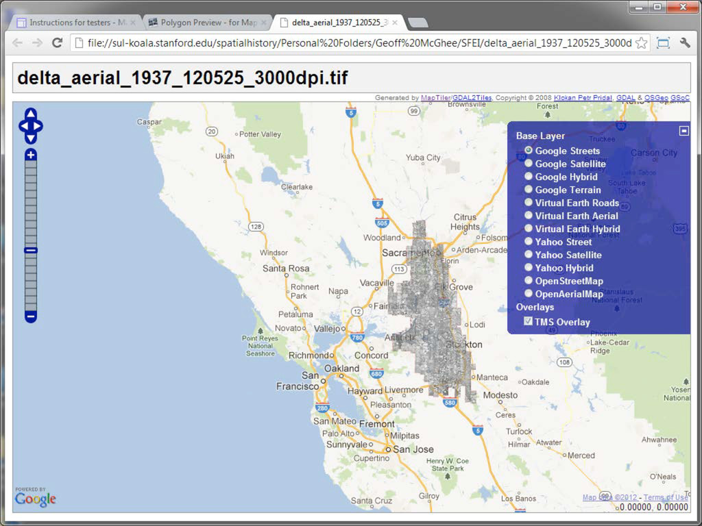
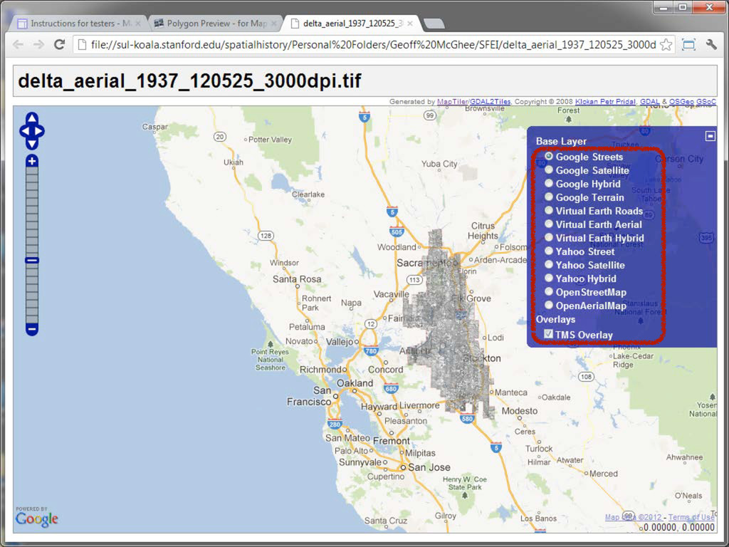
resulted in extensive aerial photographic coverage for much of the county. While the photographs were taken after substantial modification, the photos nevertheless reveal relict ecological features, traces of which are often still present in the landscape.” Aerial Photographs ca. 1937 Mapping the Delta Historical Evidence
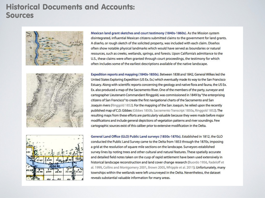
of Parks and Recreation California Historical Society California State Archives California State Library California State Railroad Museum Library Center for Sacramento History Clarksburg Library Contra Costa Historical Society Dutra Museum of Dredging East Contra Costa Historical Society & Museum Haggin Museum Isleton Brannan-Andrus Historical Society Isleton Public Library Reclamation District 999 Rio Vista Museum Sacramento County Municipal Services Agency, Survey Section Sacramento Public Library Sacramento Recorder Sacramento River Delta Historical Society Sacramento State University – Special Collections and Maps Sacramento Surveyor San Joaquin Historical Society and Museum San Joaquin Surveyor Solano County Archives Solano County Public Works State Lands Commission Stockton Public Library The Bancroft Library, UC Berkeley UC Berkeley Earth Sciences Library UC Davis Shields Library University of the Pacific United States Geological Survey Water Resources Center Archives West Sacramento Historical Society Woodland Public Library Yolo County Archives Yolo County Recorder Yolo County Surveyor Historical Documents and Accounts: Sources
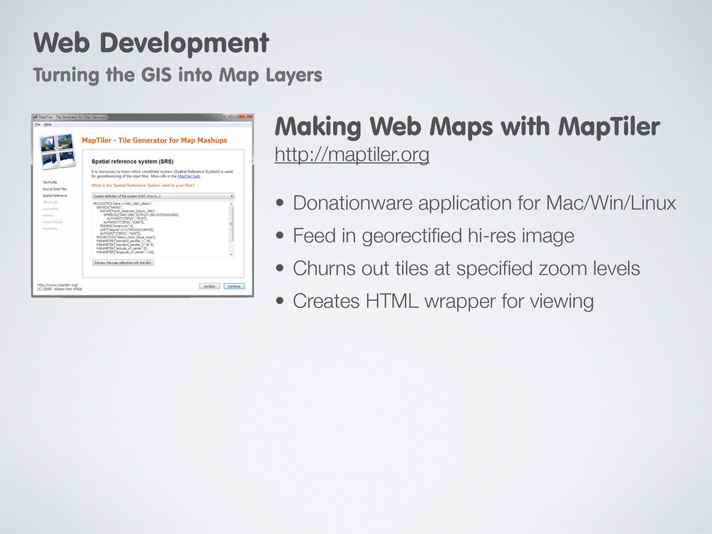
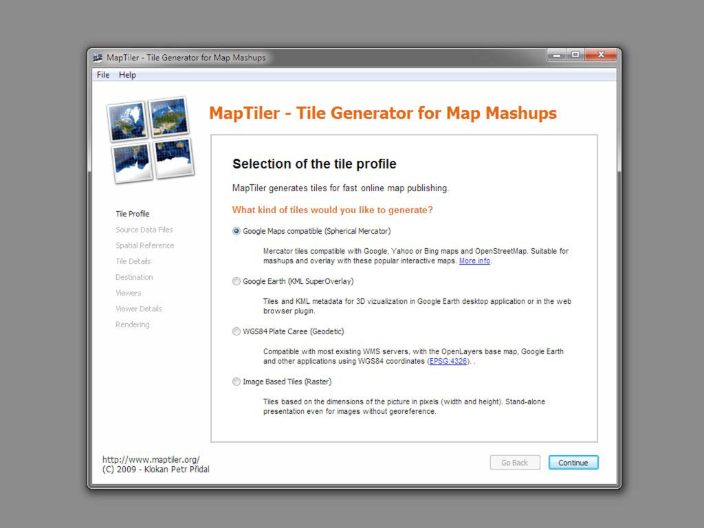
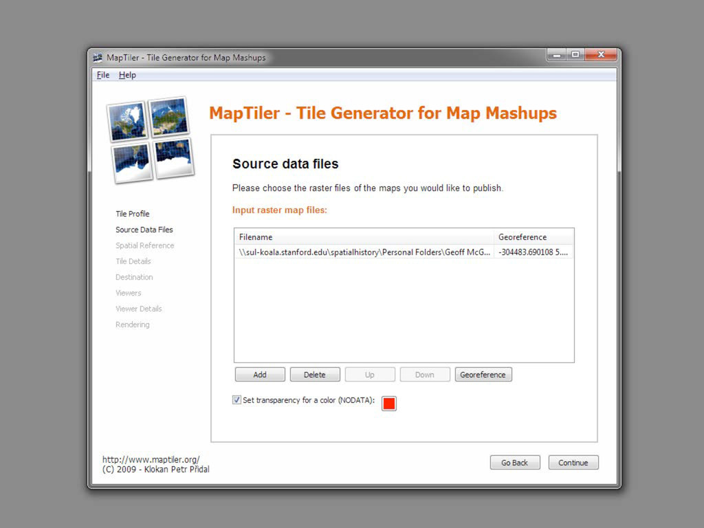
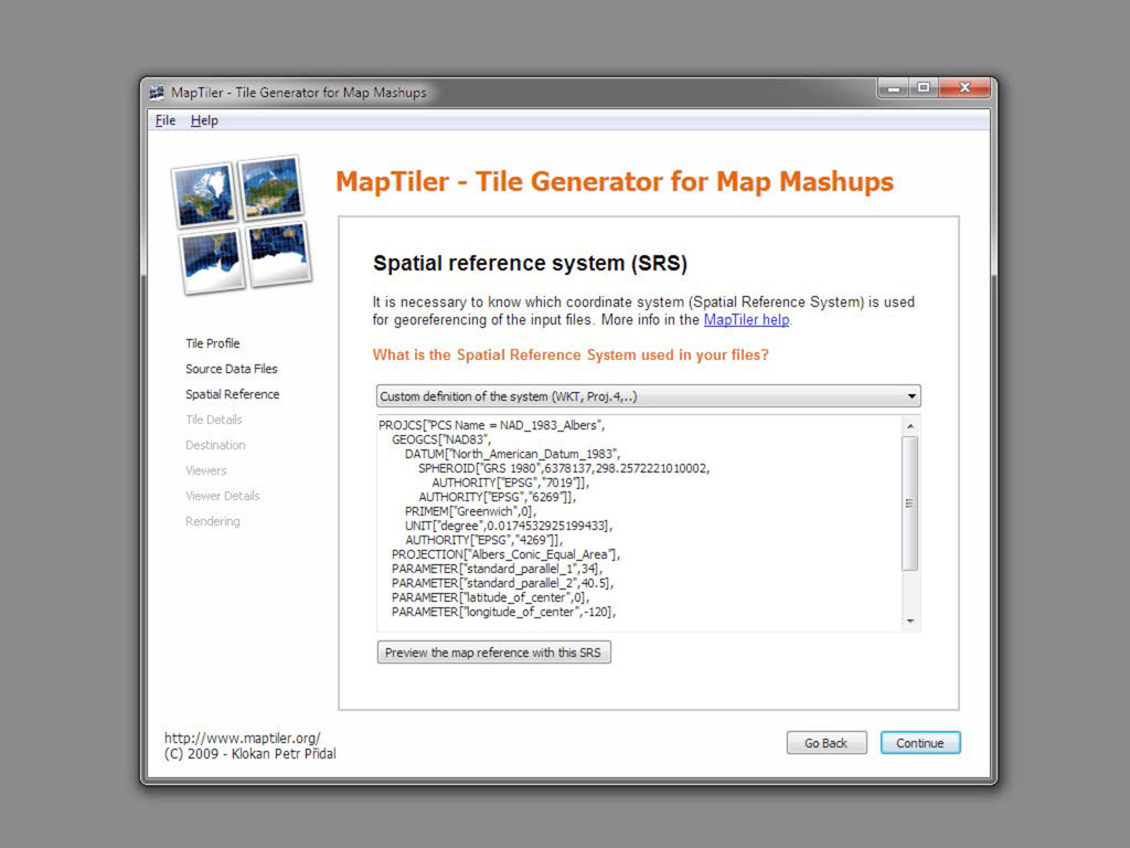
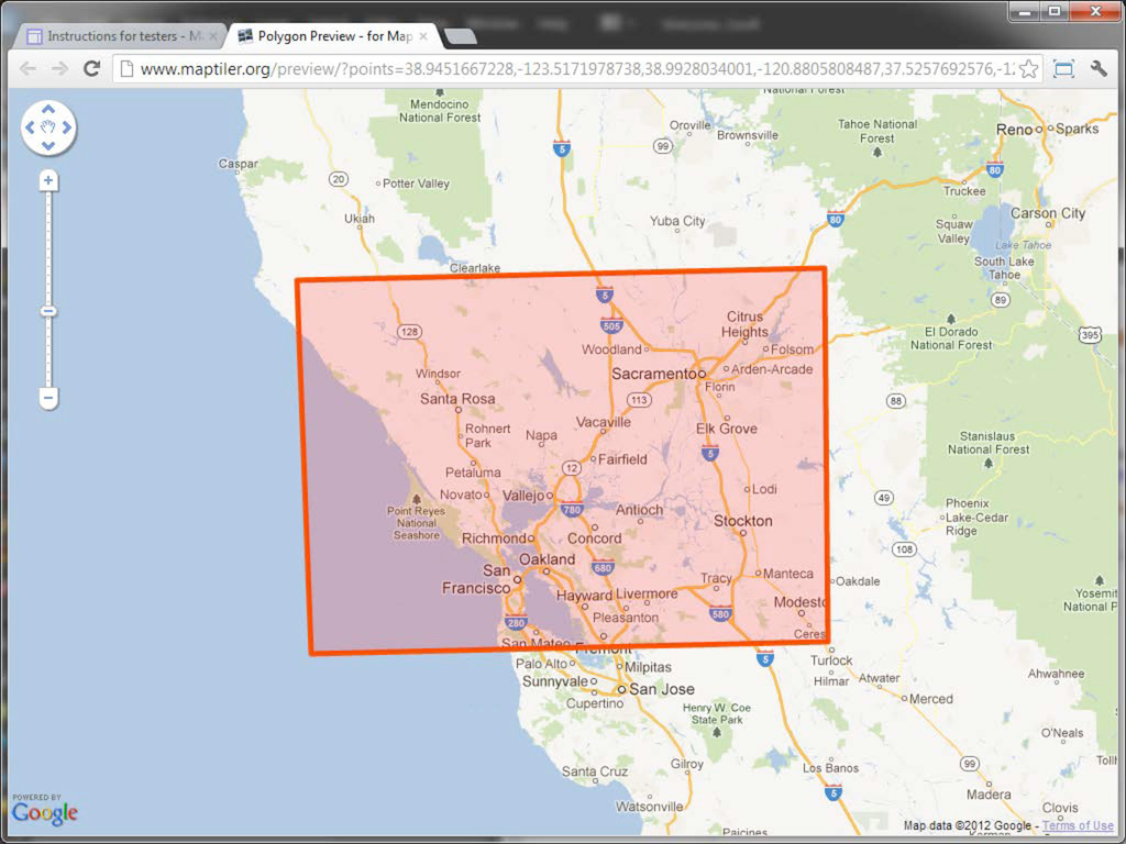
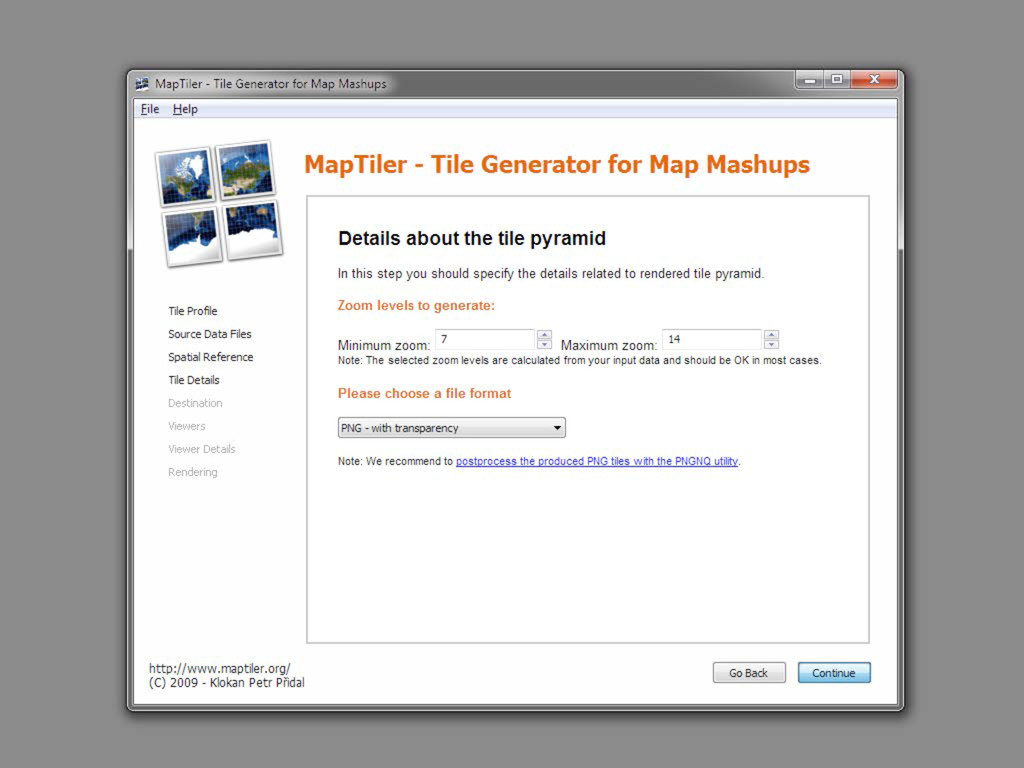
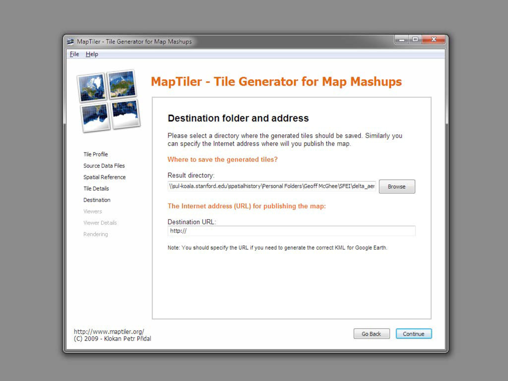
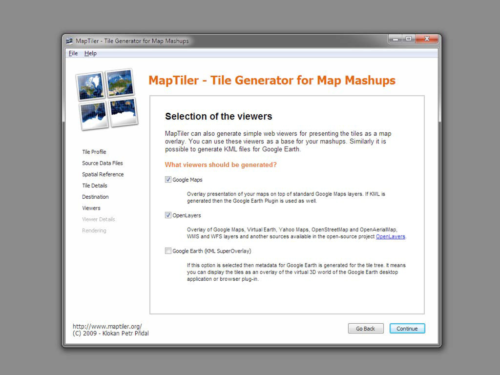
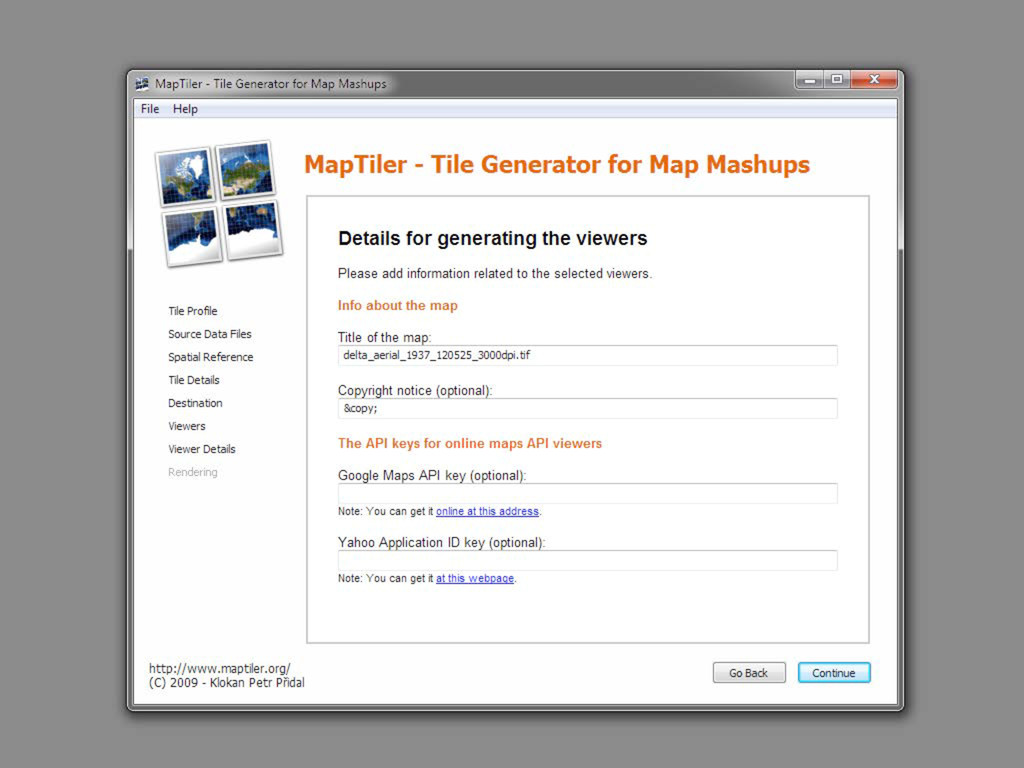
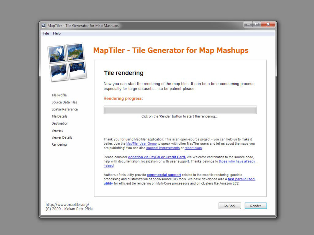
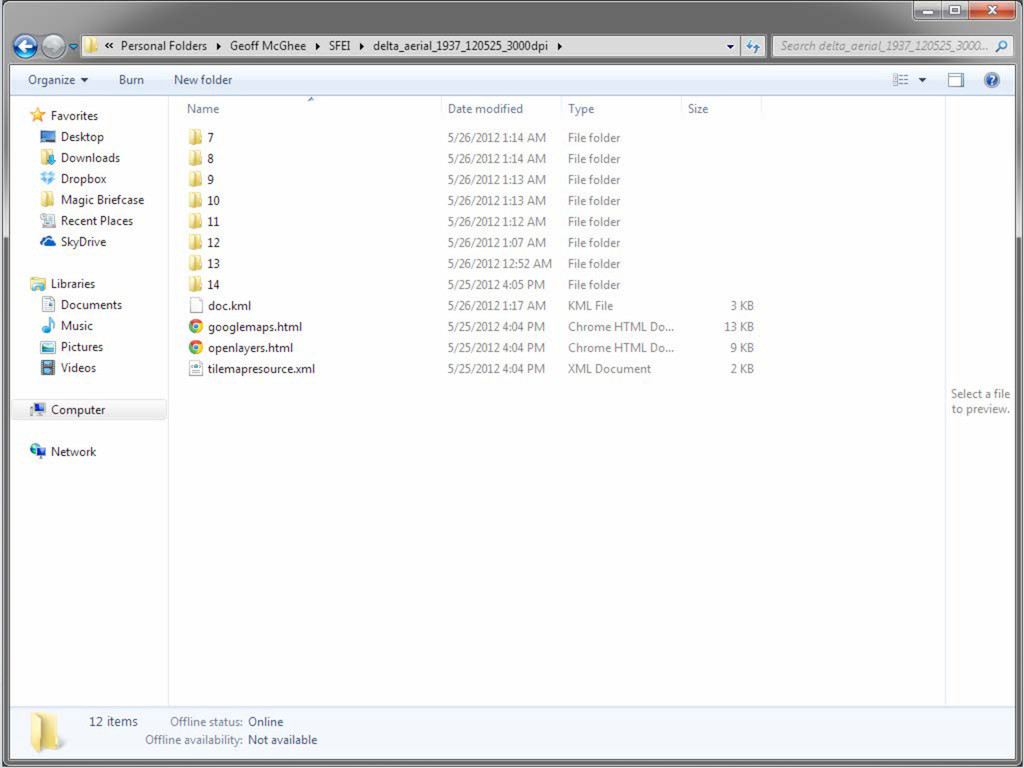
image • Churns out tiles at specified zoom levels • Creates HTML wrapper for viewing Making Web Maps with MapTiler http://maptiler.org Web Development Turning the GIS into Map Layers
image • Churns out tiles at specified zoom levels • Creates HTML wrapper for viewing Making Web Maps with MapTiler http://maptiler.org Web Development Turning the GIS into Map Layers
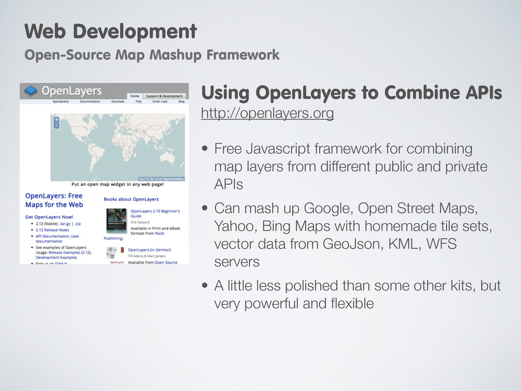
public and private APIs • Can mash up Google, Open Street Maps, Yahoo, Bing Maps with homemade tile sets, vector data from GeoJson, KML, WFS servers • A little less polished than some other kits, but very powerful and flexible Using OpenLayers to Combine APIs http://openlayers.org Web Development Open-Source Map Mashup Framework
layer types • Symbology, mixing vector and raster data • Restyling and extending UI elements Learning More About OpenLayers Open Layers 2.10 Beginner’s Guide By Erik Hazzard Web Development Open-Source Map Mashup Framework
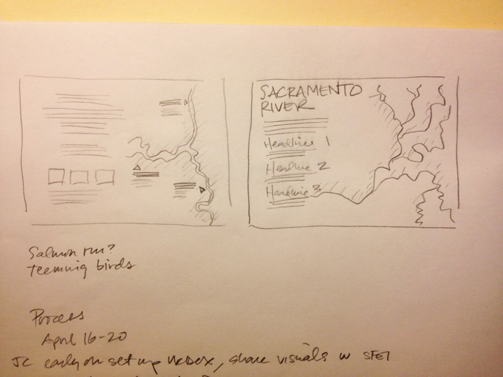
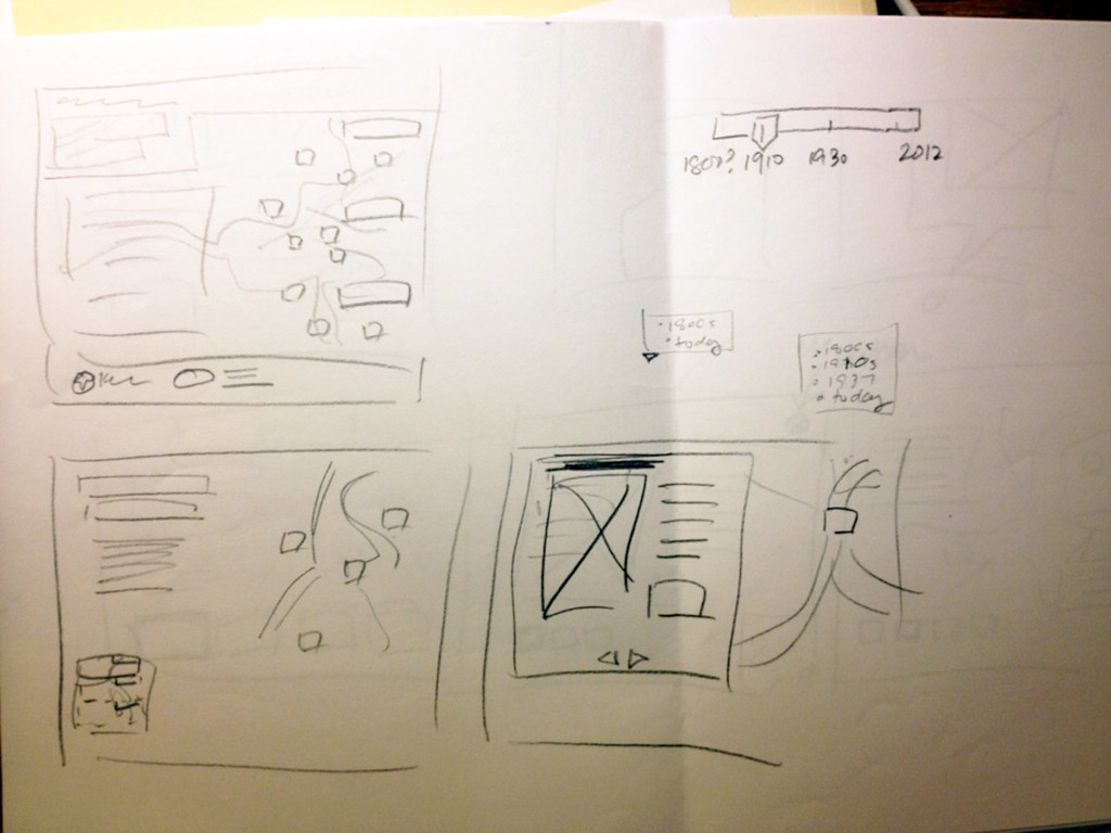
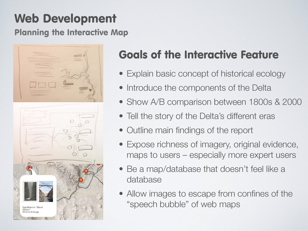
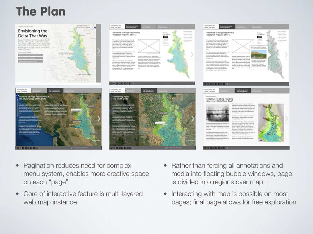
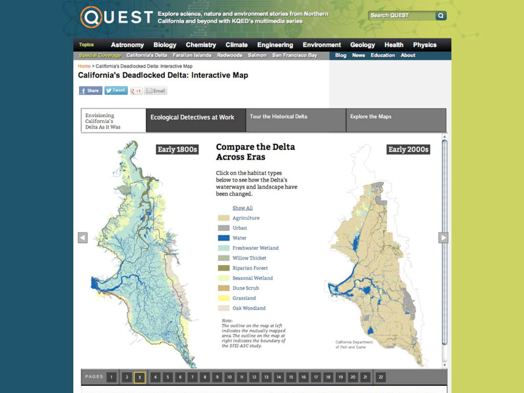
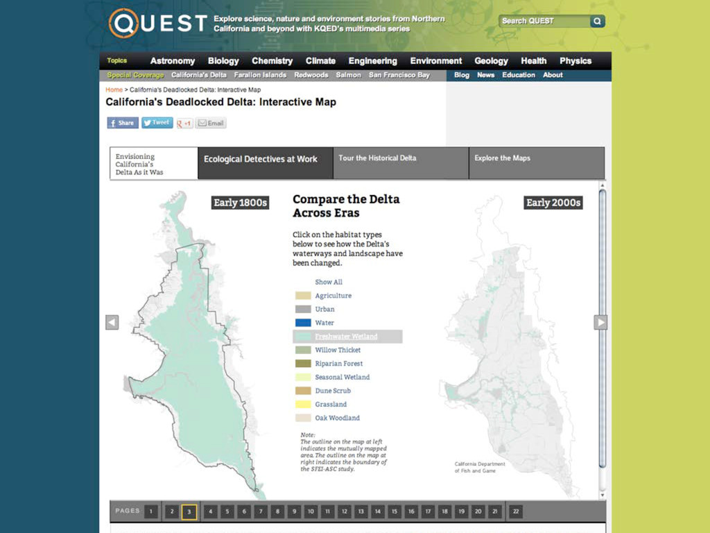
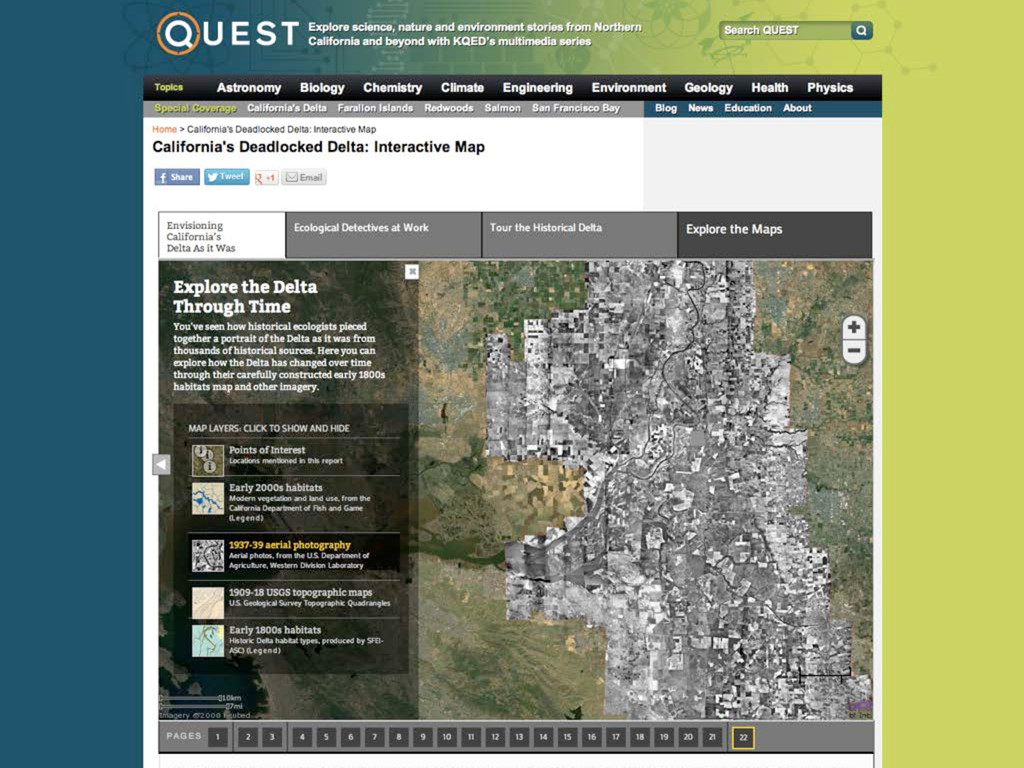
components of the Delta • Show A/B comparison between 1800s & 2000 • Tell the story of the Delta’s different eras • Outline main findings of the report • Expose richness of imagery, original evidence, maps to users – especially more expert users • Be a map/database that doesn’t feel like a database • Allow images to escape from confines of the “speech bubble” of web maps Goals of the Interactive Feature Web Development Planning the Interactive Map
creative space on each “page” • Core of interactive feature is multi-layered web map instance • Rather than forcing all annotations and media into floating bubble windows, page is divided into regions over map • Interacting with map is possible on most pages; final page allows for free exploration The Plan
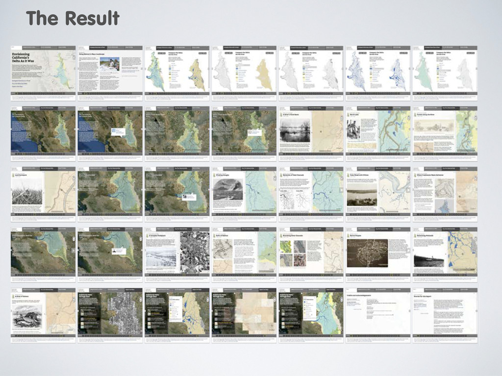
to screen Combination of narrative text with map “posed” to appropriate zoom level, center, and base map Text area with images has primacy on the page, rather than being in a tiny popup window but sometimes the map is more or less important Meant to be like an e-book Last page allows for free exploration Final version
to screen Combination of narrative text with map “posed” to appropriate zoom level, center, and base map Text area with images has primacy on the page, rather than being in a tiny popup window but sometimes the map is more or less important Meant to be like an e-book Last page allows for free exploration Final version
![Thanks! [email protected], @mcgeoff [email protected], @lesommer http://science.kqed.org/quest/delta-map](https://files.speakerdeck.com/presentations/505cb9d30fb5de0002068e30/slide_91.jpg)