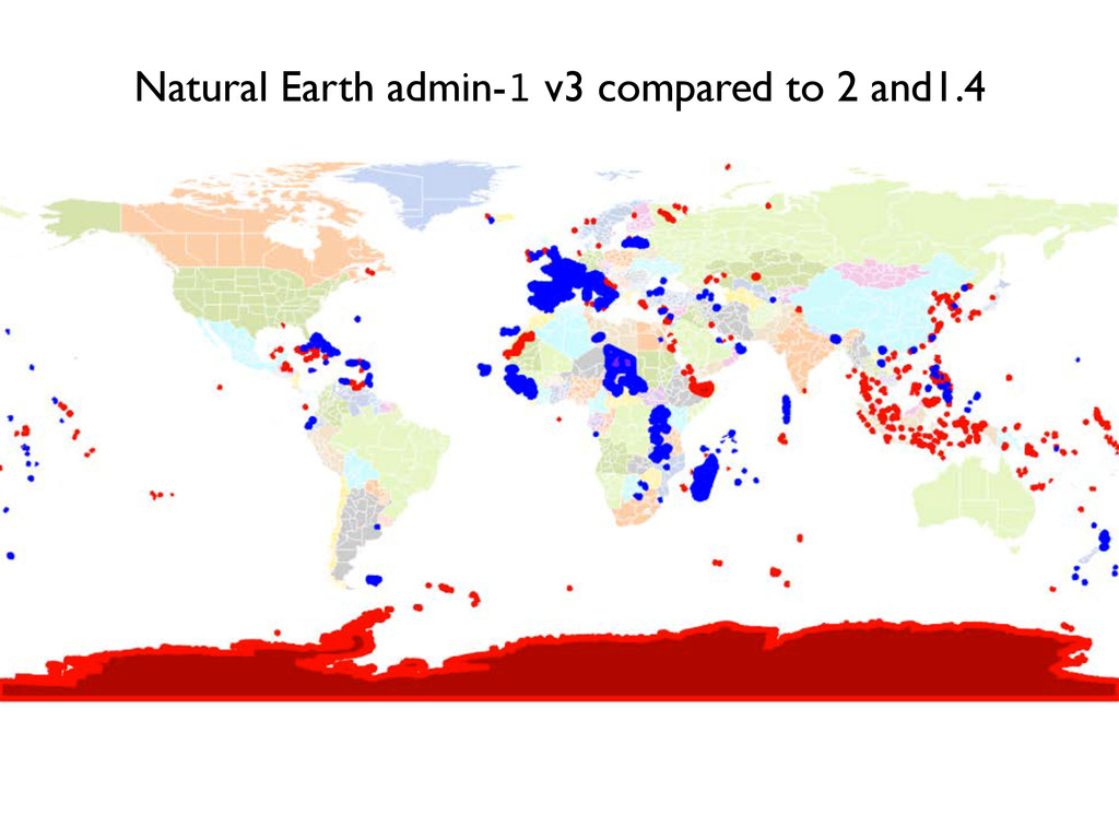
ports, airports, and time zones. 2. Remastered geometries: fixes topological errors at 1:10 to 1:1,000 scales in the basic coastline, ocean, land, admin-0, and admin-1 related themes in the 1:10m scaleset. Land, ocean, and minor islands all build topologically by scripting ingredients, as do the admin-0 and admin-1 cultural themes. 3. Introduce Gray Earth rasters. 4. New file name and field name schemas. 5. Address user submitted bug reports, ~25 since the 1.4 release, and earlier. 6. Moved to Github for the backend versioned file management and coordination. Includes scripts to package updates and auto-create derived themes. 7. Adopt semantic versioning. Know, by theme, the level of effort needed to update your maps when Natural Earth data updates are released.
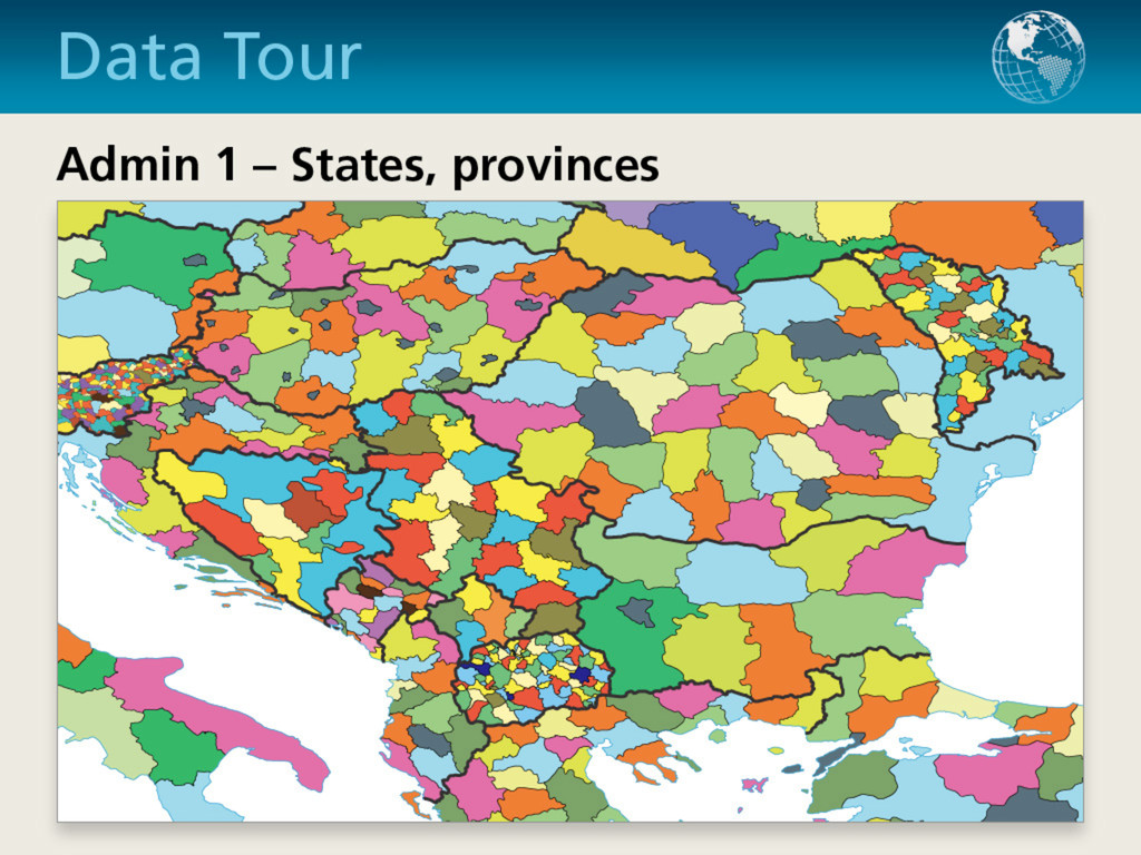
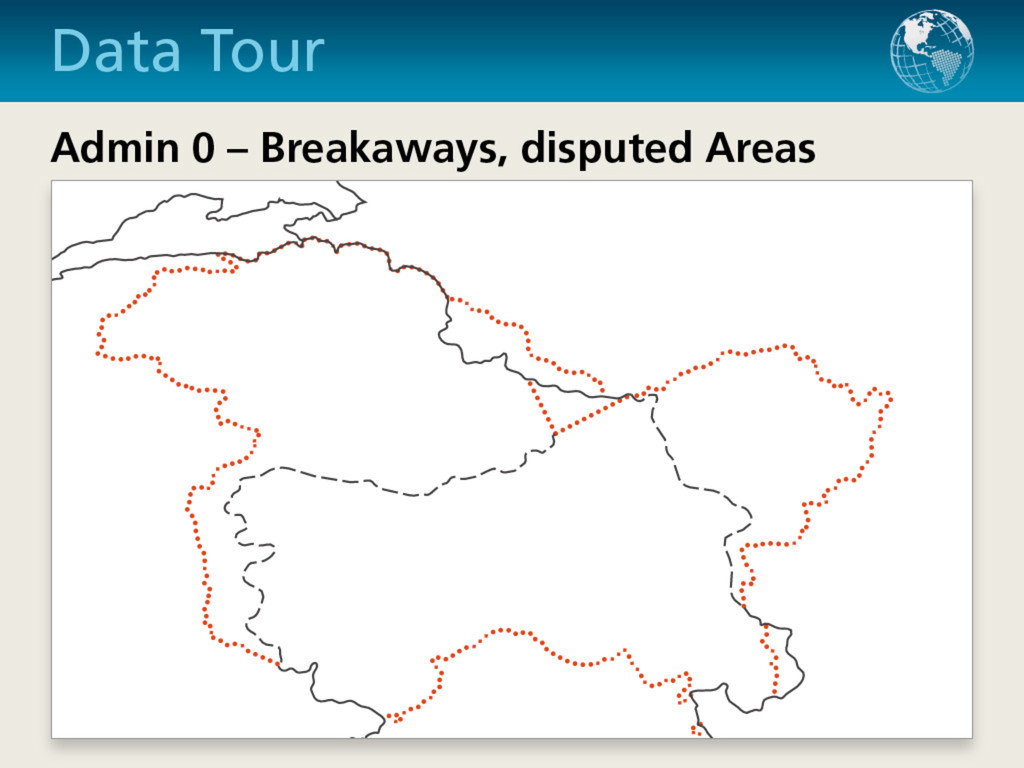
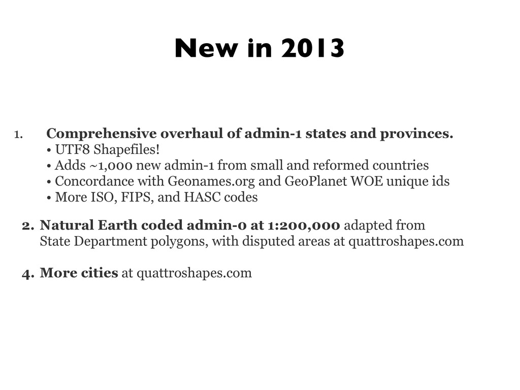
Shapefiles! • Adds ~1,000 new admin-1 from small and reformed countries • Concordance with Geonames.org and GeoPlanet WOE unique ids • More ISO, FIPS, and HASC codes 2. Natural Earth coded admin-0 at 1:200,000 adapted from State Department polygons, with disputed areas at quattroshapes.com 4. More cities at quattroshapes.com New in 2013