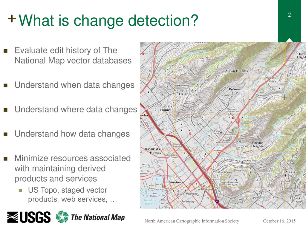
$30 off During Our Annual Pro Sale. View Details »

Displaying Change Data on a US Topo Map

Displaying Change Data on a US Topo Map

Andrew Stauffer ([email protected])
Kristin Fishburn
Kristina Yamamoto
NACIS – October 16, 2015

#nacis2015

Nathaniel V. KELSO

October 16, 2015
Tweet

More Decks by Nathaniel V. KELSO

Other Decks in Education

Transcript

  1. +
    Displaying Change Data
    on a US Topo Map
    Andrew Stauffer ([email protected])
    Kristin Fishburn
    Kristina Yamamoto
    NACIS – October 16, 2015

    View Slide

  2. 2
    +
    October 16, 2015
    North American Cartographic Information Society
    What is change detection?
     Evaluate edit history of The
    National Map vector databases
     Understand when data changes
     Understand where data changes
     Understand how data changes
     Minimize resources associated
    with maintaining derived
    products and services
     US Topo, staged vector
    products, web services, …

    View Slide

  3. 3
    +
    October 16, 2015
    North American Cartographic Information Society
    US Topo Map
    Footprints
    Change Data
    How is change detection performed?
    Step 1: Perform Change Detection
    Step 2: Parse Change to Maps
    Step 3: Evaluate change by
    product requirements
    Maps with
    Change Data Feature Delete
    Feature Insert
    Geometric Shift

    View Slide

  4. 4
    +
    October 16, 2015
    North American Cartographic Information Society
    Step 1: Finding change

    View Slide

  5. 5
    +
    October 16, 2015
    North American Cartographic Information Society
    Edits in a US Topo Map:
    Raw change counts

    View Slide

  6. 6
    +
    October 16, 2015
    North American Cartographic Information Society
    Step 2:
    Evaluating relevance of change
    NMAS bounds
    “Old” flow path
    “New” flow path
    Important Change
    Not Important Change

    View Slide

  7. 7
    +
    October 16, 2015
    North American Cartographic Information Society
    Step 2:
    Evaluating relevance of change
    Visible in US Topo
    Important Change

    View Slide

  8. 8
    +
    October 16, 2015
    North American Cartographic Information Society
    Edits in a US Topo Map:
    Important change counts

    View Slide

  9. 9
    +
    October 16, 2015
    North American Cartographic Information Society
    Step 3:
    Quantifying ‘relevant’ change
    1 major feature changes
    Berger, MO
    Many minor features change
    Crutchfield, KY
    Both images at 1:24,000 scale

    View Slide

  10. 10
    +
    October 16, 2015
    North American Cartographic Information Society
    Edits in a US Topo Map:
    Sufficient Important Change

    View Slide

  11. 11
    +
    October 16, 2015
    North American Cartographic Information Society
    Symbolizing change data for internal
    decision making

    View Slide

  12. 12
    +
    October 16, 2015
    North American Cartographic Information Society
    Making sense of what really matters
    Smithwick NW, SD
    Valeene, IN

    View Slide

  13. 13
    +
    October 16, 2015
    North American Cartographic Information Society
    Questions?

    View Slide