opportunities for storytelling, you also gave me some ideas for projects…I think there could be some real cross-over appeal between the journalism and GIS programs [at UMD]…Visual Journalism and Data Journalism are two subsectors of the industry that are actually hiring right now… Having this resource for students in the journalism program has allowed us to expand and modernize our curriculum to match industry demands…It would be great to figure out even more ways to get our journalism students exposed to GIS. - Chris Etheridge, UMD Instructor of Journalism
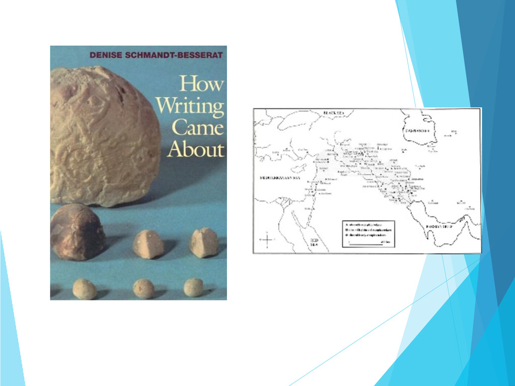
text How Writing Came About?” “What were you able to show or explain through the use of ArcGIS that you would not be able to do through writing alone?” Goals for Non-Geography Students
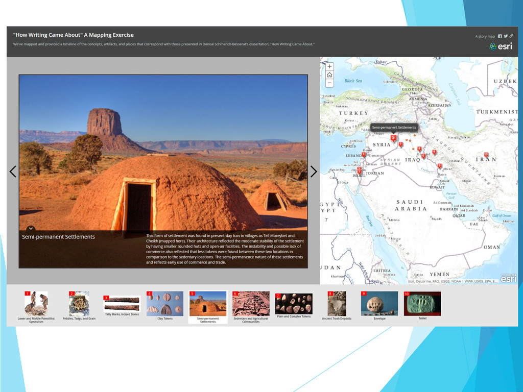
be introduced to this remarkable, functional program, but be educated on how to use it at the same time…By mapping several settlements throughout the Middle East and associating a specific token type, either complex or simple, with each settlement, it not only displayed where each token type was concentrated, but also sparked the idea of possible trade routes between the sites, depending on token type. Without mapping, this idea and thought would not have been possible. - Writing Studies student
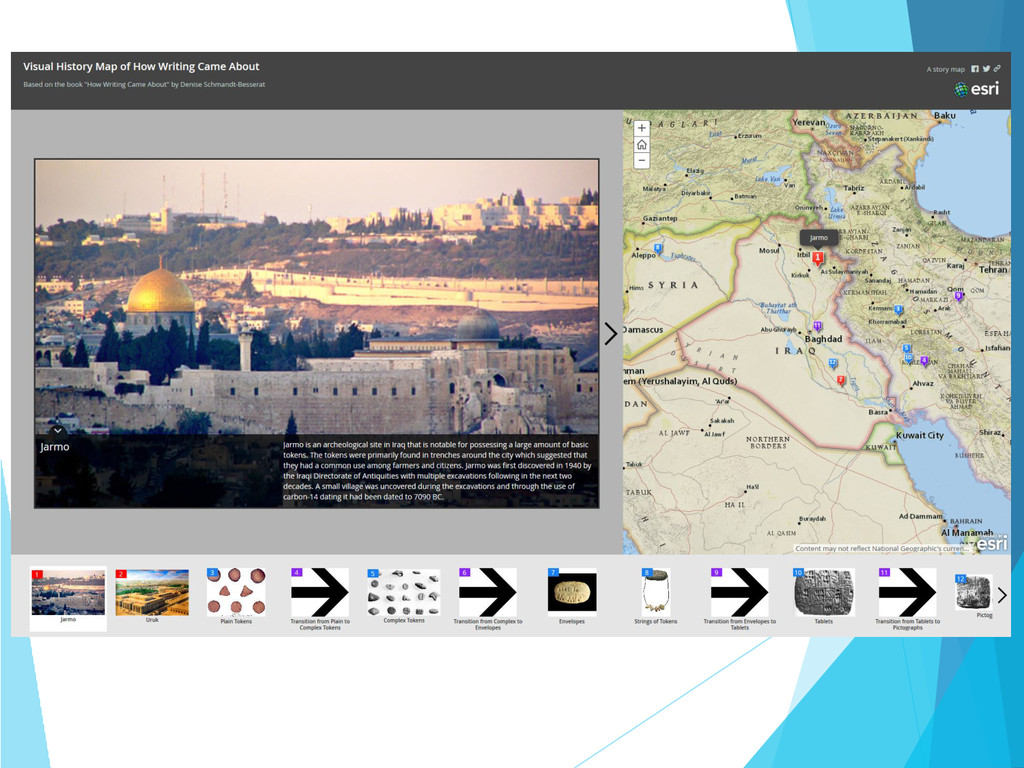
in the text, I would simply just skip over them. The ArcGIS project gave more value to the name of the city rather than just a name. - Writing Studies student
English to Neuroscience – learned about the power and potential of web mapping ! Students gained both hands-on experience and learned how GIS and web mapping are being used in writing and journalism ! Potential to spark new interest was created, as they move forward in their education and work ! Students were introduced the possibilities resulting from both spatial thinking and spatial problem solving