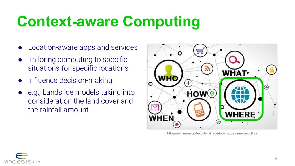
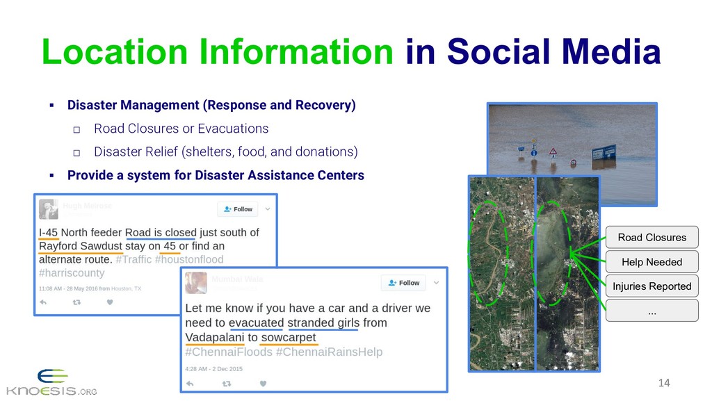
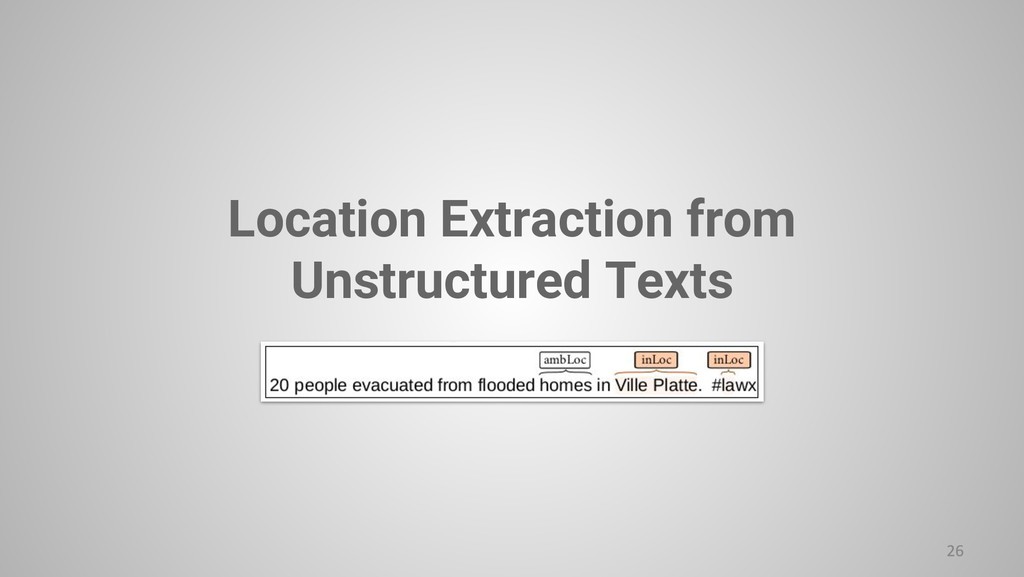
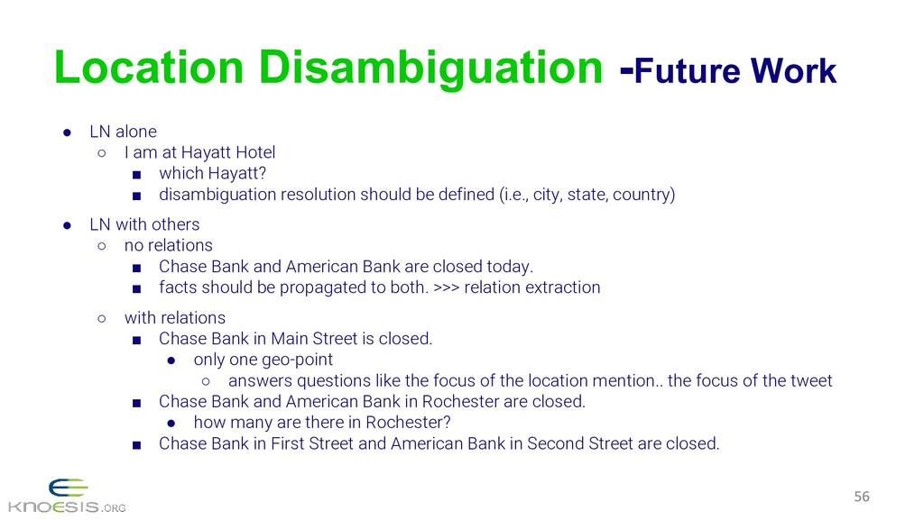
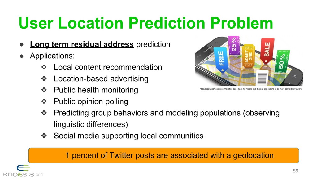
Ability to extract or estimate location in social media content, and perform location-centric analyses offer unique and wide-ranging applications. Examples include disaster management, demographic and socio-cultural studies, and spatiotemporal tracking. For instance, location information is critical to reach and rescue disaster-stricken people and dispatch humanitarian assistance. Consequently, there is a pressing need for better understanding of how people express location information explicitly and implicitly on social media, and in general, develop efficient techniques for geospatial computing that spans all information channels. Additionally, location information enables a variety of individual-level and community-level analyses.
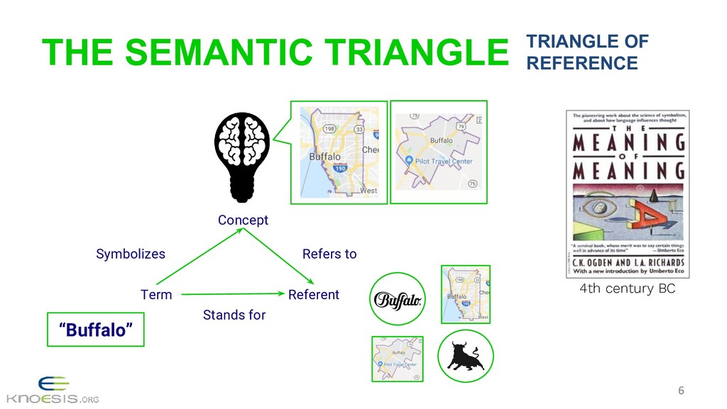
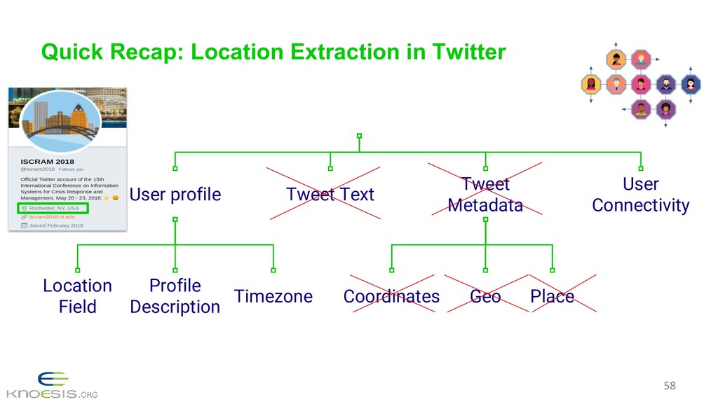
Location extraction and georeferencing methods leverage the user-generated content (textual as well as multimedia data, e.g., images, videos), and users’ connectivity (social network analysis). The applications of these methods range from detecting communities and localizing individual texts or detecting users’ physical locations. However, due to the challenges posed by social media data some techniques did not work reliably on its informal and ill-formed texts or scaled poorly.
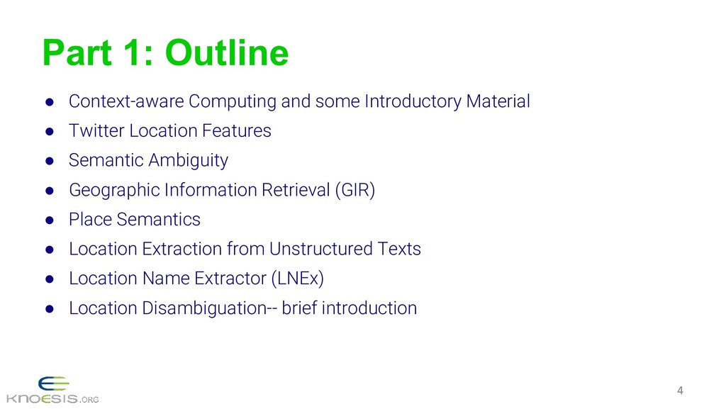
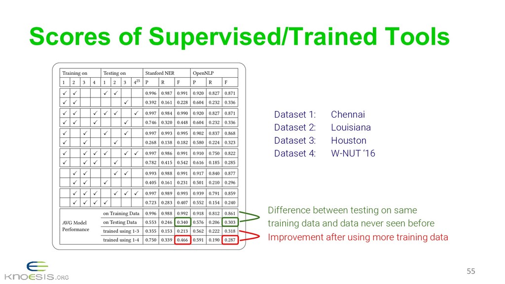
In this tutorial, we present the general problem of georeferencing and location extraction, summarizes the state-of-the-art research, discusses challenges, and provides an overview of our recent research accomplishments in the context of disaster management.
![TLF - User Connectivity #!/usr/bin/python #-*-coding:utf-8-*- users=tweepy.Cursor(api.followers_ids,screen_name='iscram2018').items() users[0].screen_name Edges Created](https://files.speakerdeck.com/presentations/19b7fdf159bd433d8a0b9eac03a41b74/slide_18.jpg)