Introduction To GeoGit: Distributed Versioned Editing For Geospatial Features. Presented by Scott Clark and Chris Holmes at FOSS4G 2013 in Nottingham, England
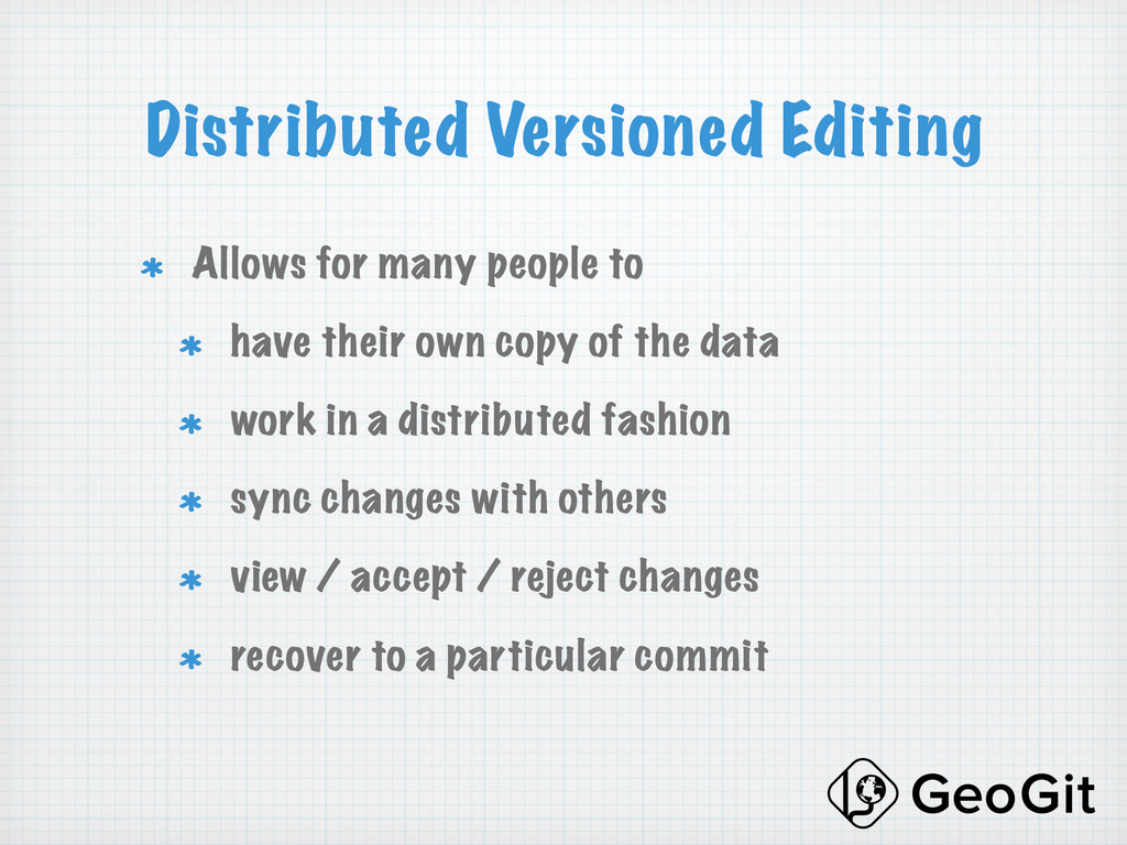
! have their own copy of the data ! work in a distributed fashion ! sync changes with others ! view / accept / reject changes ! recover to a particular commit
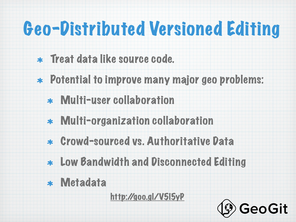
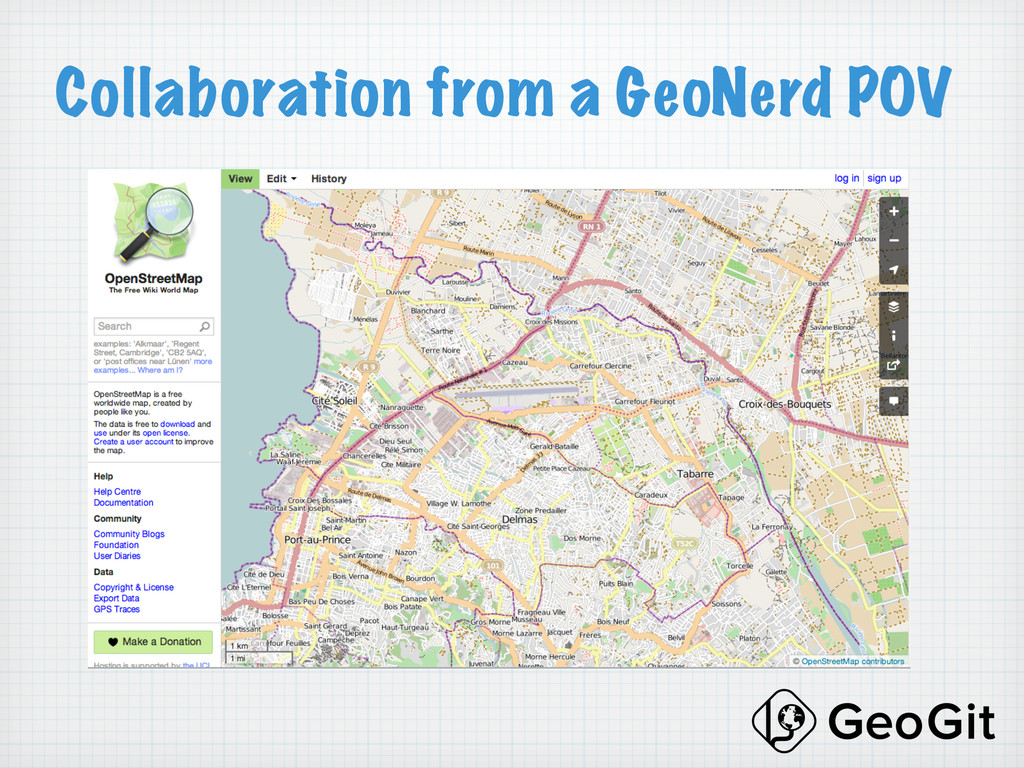
! Potential to improve many major geo problems: ! Multi-user collaboration ! Multi-organization collaboration ! Crowd-sourced vs. Authoritative Data ! Low Bandwidth and Disconnected Editing ! Metadata http:/ /goo.gl/V5l5yP
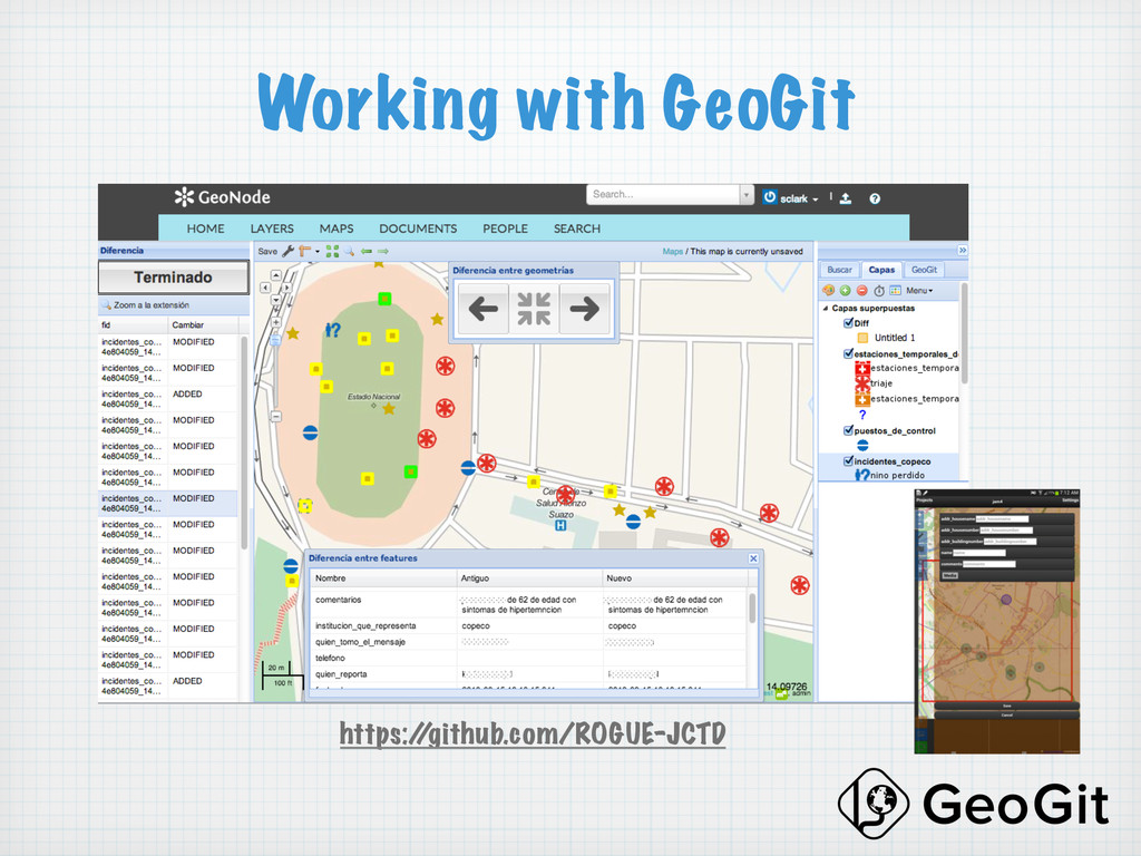
etc. ! Commit changes ! Branch and merge ! Manage merge conflicts ! Clone a repository ! View history for repository, featuretype or feature ! Tag a version ! Export, sync and more
help!) ! Mature plugins for GeoNode, QGIS, GeoServer ! Scalability ! Export an OSM changeset ! Standardize and encourage alternate implementations (OGR, etc) ! Other Databases as backend