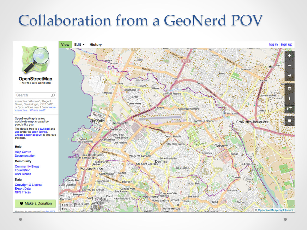
a wide range of partners, including military, inter-agency, national partners, and NGOs • Common situational awareness is needed by all partners • Responding organizations both need, and can provide a great deal of information • Partners are distributed and sometimes disconnected Ø Partners must have direct access to the technology itself In short, ROGUE allows organizations to collaboratively develop and share geospatial data with traditional and non-traditional partners Joint Capability Technology Demonstrations (JCTDs) introduce new operational concepts to maturing technologies to solve complex problems
• GeoServer: Web access to geospatial data sources • GeoWebCache: Caching & serving tiles • PostGIS: Stores geospatial data in a relational database • GeoGit: Distributed & versioned editing Custom Components • ROGUE-GeoNode: A custom build that adds GeoGit and MapLoom • Arbiter: Mobile app for data collection • MapLoom: Custom OL3 web map used in GeoNode
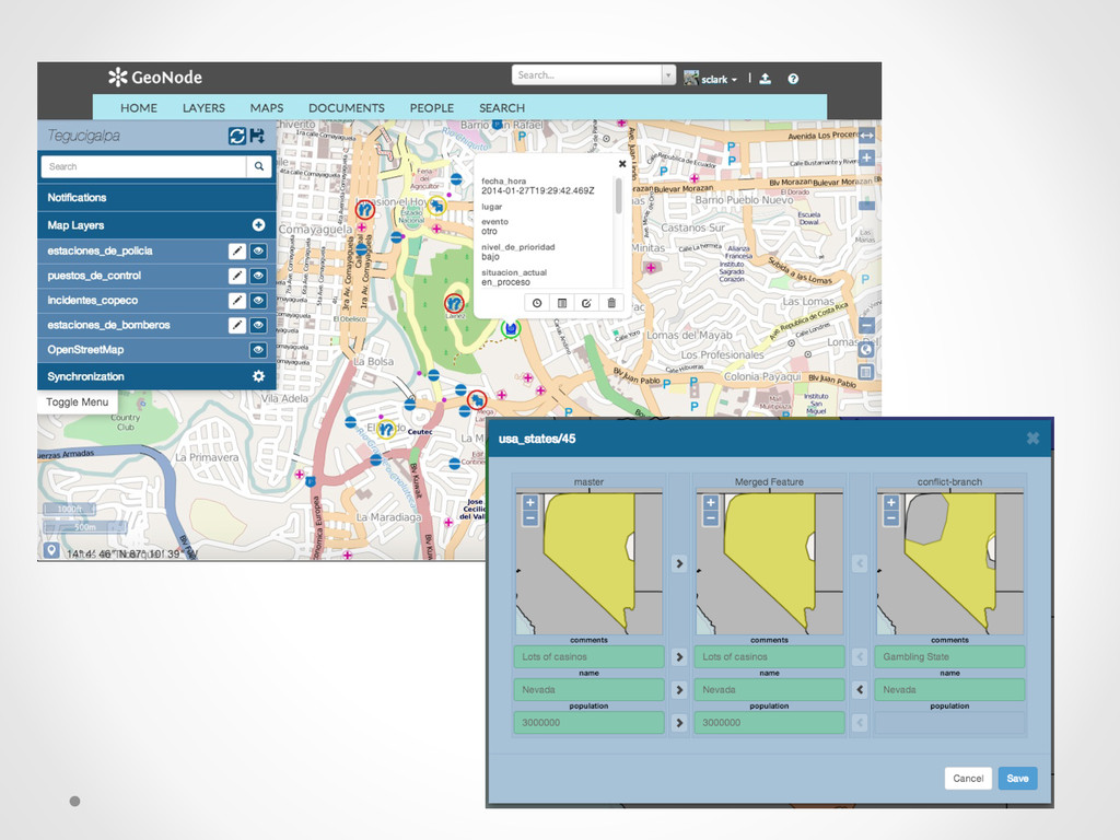
databases • Multi-user / Multi-organizational collaboration • Lets you o Import geospatial data: Shapefile, PostGIS, OpenStreetMap, SQLite… o Branch and merge data o Manage merge conflicts o Clone a repository o View history for a repository, featuretype (layer) or feature o Tag a version o Export, Sync, and more http://geogit.org GeoGit
data that was technically & legally open o 72 layers of geospatial data imported o Sources included EU Joint Research Centre, UNOSAT, NGA, Humanitarian OSM team o Hundreds of situation reports & PDFs from ARC and OCHA o ROGUE & GFDRR developers provided remote support to ARC personnel on the ground • Humanitarian OpenStreetMap Team o Deployed task on HOT Tasking Manager o OSM community made over 4.5 million edits from 1600 mappers working from 82 countries Yolanda GeoNode h+p://yolandadata.org
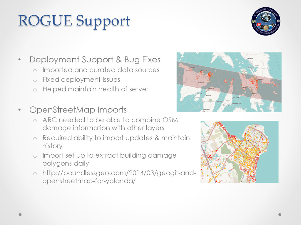
data sources o Fixed deployment issues o Helped maintain health of server • OpenStreetMap Imports o ARC needed to be able to combine OSM damage information with other layers o Required ability to import updates & maintain history o Import set up to extract building damage polygons daily o http://boundlessgeo.com/2014/03/geogit-and- openstreetmap-for-yolanda/ ROGUE Support