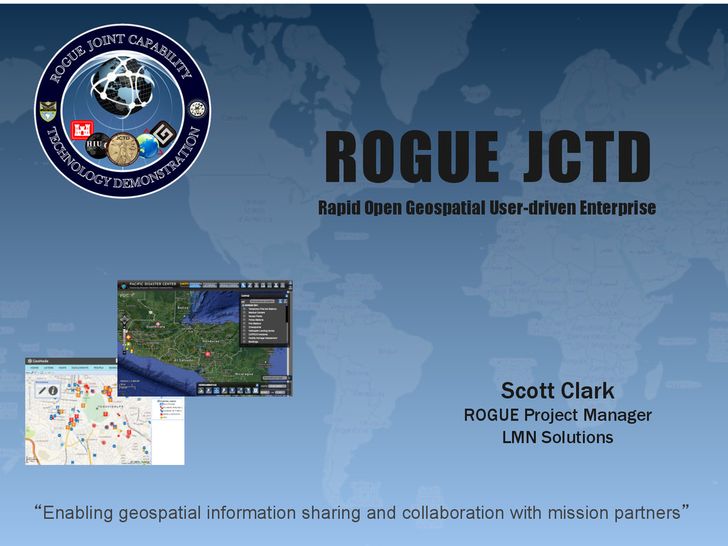
to collaboratively develop geographic feature data and analysis with traditional and non-traditional partners Context: Humanitarian Assistance & Disaster Response Problem Set • Wide range of partners, including military, inter-agency, NGOs, & nations • Common situational awareness of the environment is critical • Partners are distributed and sometimes disconnected • Responding organizations both need, and can provide a great deal of information • Partners must have direct access to the technology itself
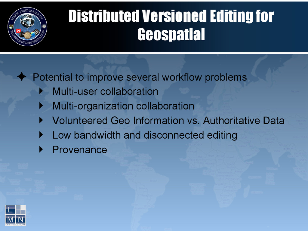
approach ‣ Geographic and organizational dispersion ‣ Connectivity not guaranteed ✦ Distributed Versioned Editing allows for many people to: ‣ have their own copy of the data ‣ work in a distributed fashion ‣ sync changes with others ‣ view / accept / reject changes ‣ maintain provenance of data
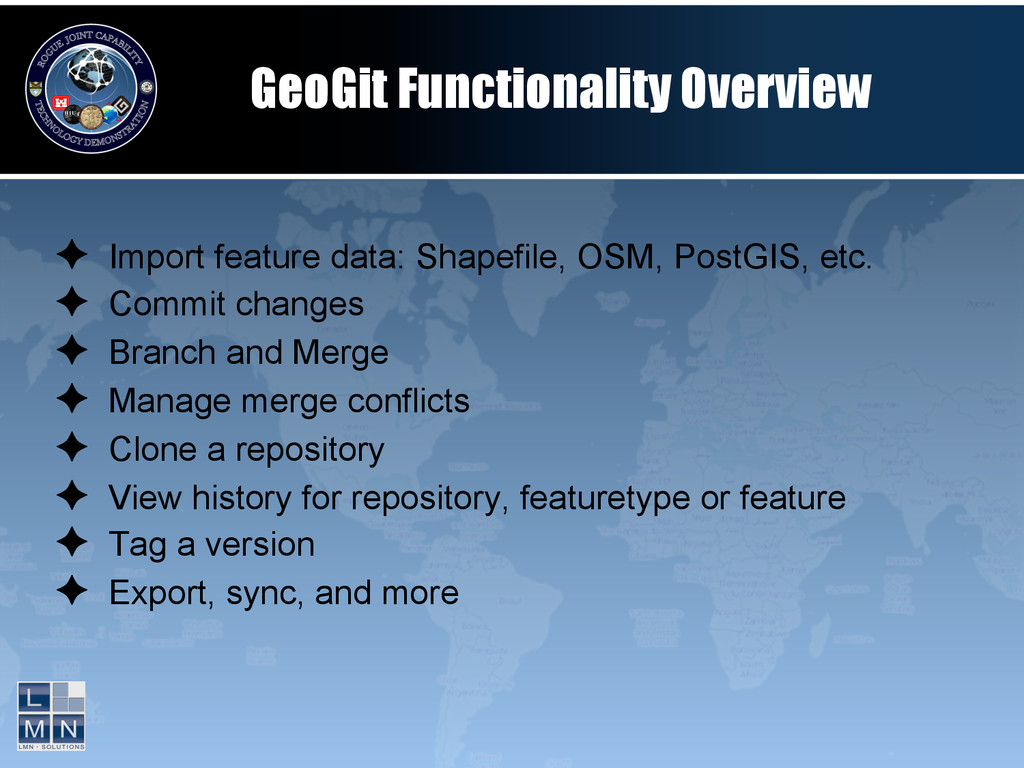
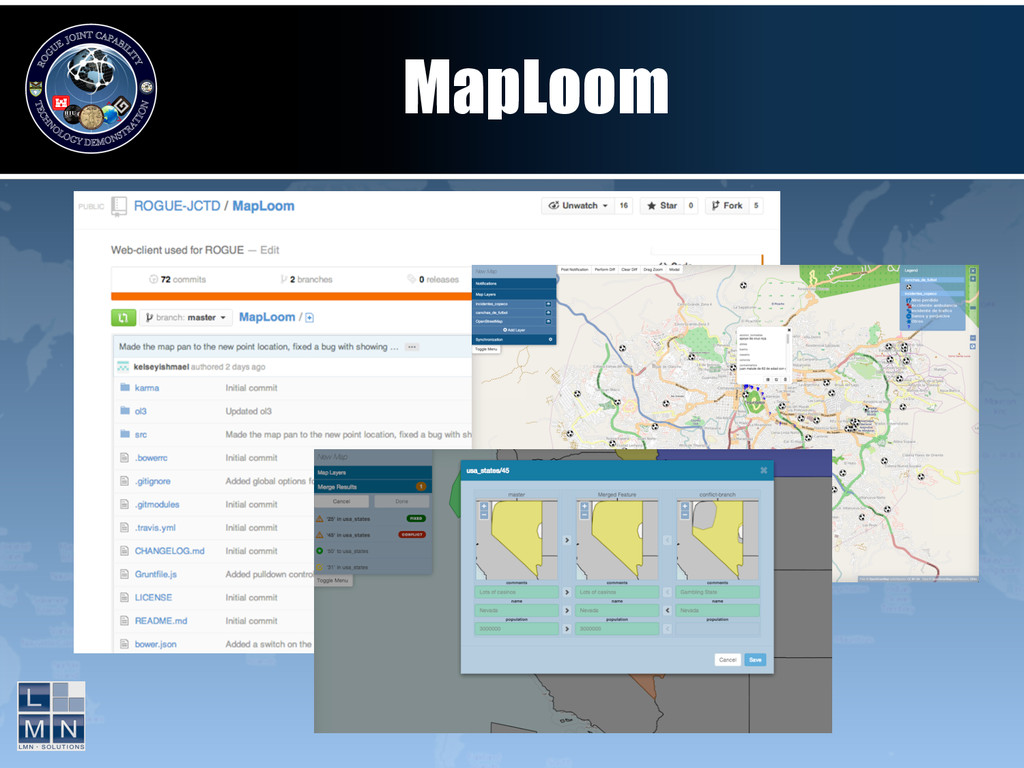
etc. ✦ Commit changes ✦ Branch and Merge ✦ Manage merge conflicts ✦ Clone a repository ✦ View history for repository, featuretype or feature ✦ Tag a version ✦ Export, sync, and more
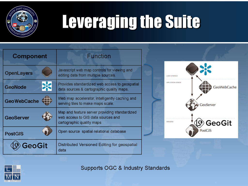
editing data from multiple sources. GeoNode! Provides standardized web access to geospatial data sources & cartographic quality maps. GeoWebCache! Web map accelerator, intelligently caching and serving tiles to make maps scale. GeoServer! Map and feature server providing standardized web access to GIS data sources and cartographic quality maps PostGIS! Open source spatial relational database Distributed Versioned Editing for geospatial data Leveraging the Suite Supports OGC & Industry Standards
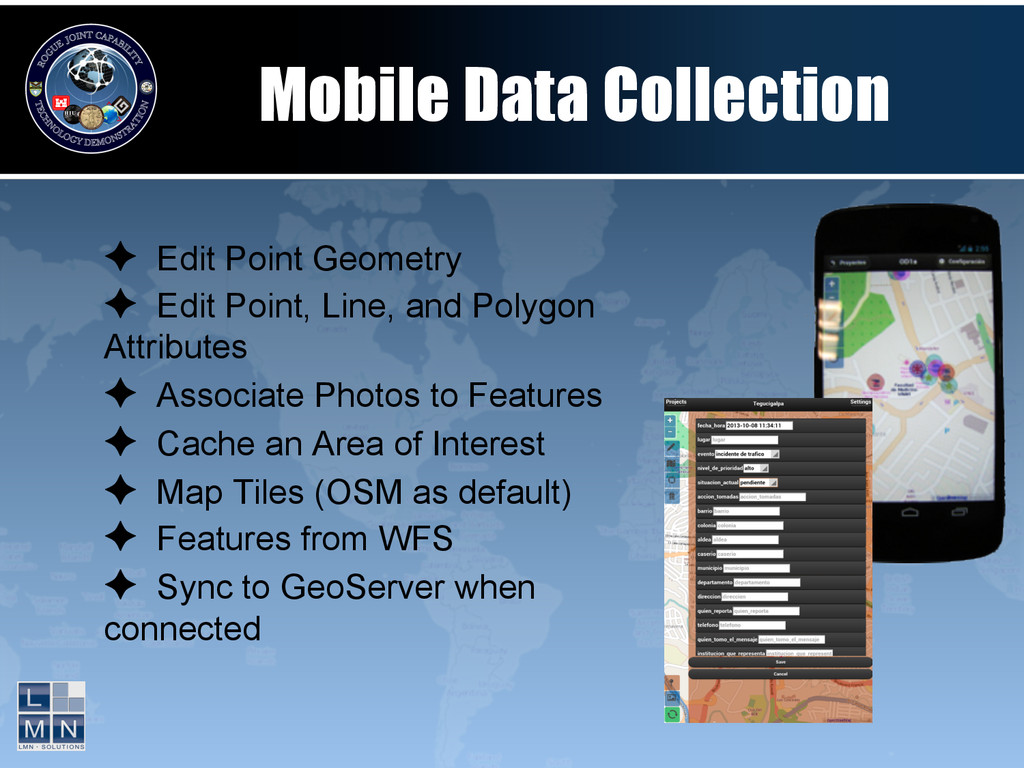
Line, and Polygon Attributes ✦ Associate Photos to Features ✦ Cache an Area of Interest ✦ Map Tiles (OSM as default) ✦ Features from WFS ✦ Sync to GeoServer when connected
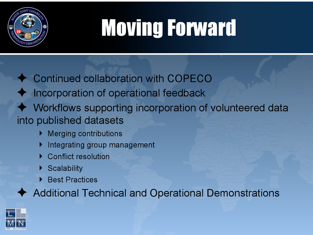
operational feedback ✦ Workflows supporting incorporation of volunteered data into published datasets ‣ Merging contributions ‣ Integrating group management ‣ Conflict resolution ‣ Scalability ‣ Best Practices ✦ Additional Technical and Operational Demonstrations
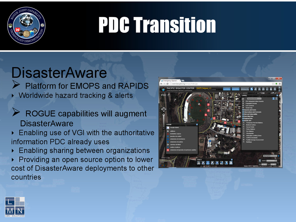
tracking & alerts Ø ROGUE capabilities will augment DisasterAware ‣ Enabling use of VGI with the authoritative information PDC already uses ‣ Enabling sharing between organizations ‣ Providing an open source option to lower cost of DisasterAware deployments to other countries PDC Transition