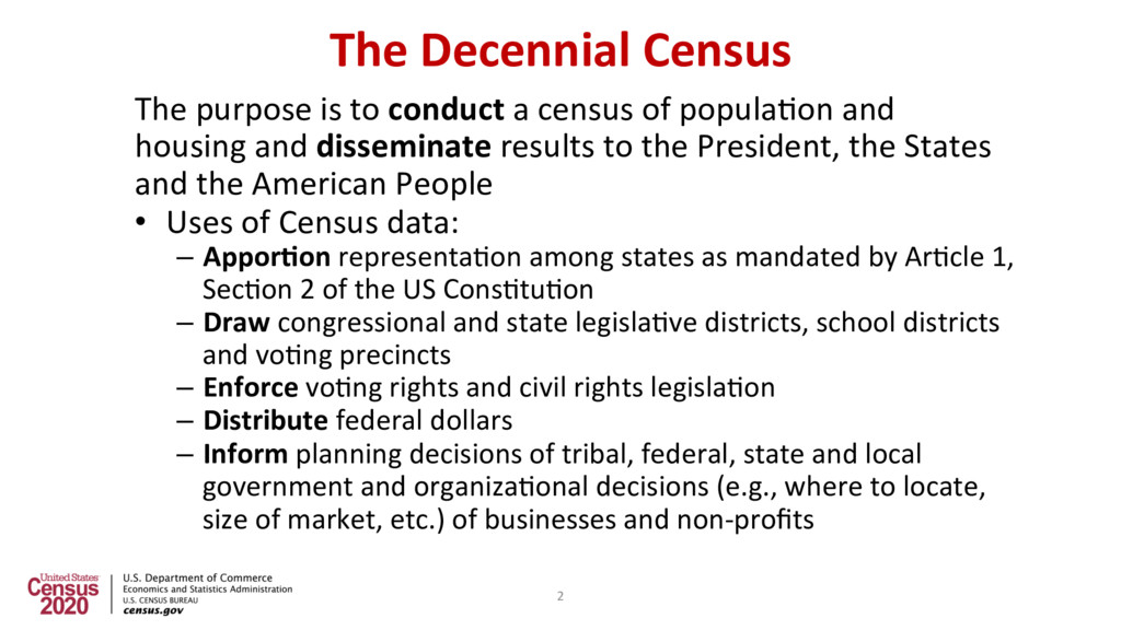
of popula2on and housing and disseminate results to the President, the States and the American People • Uses of Census data: – Appor@on representa2on among states as mandated by Ar2cle 1, Sec2on 2 of the US Cons2tu2on – Draw congressional and state legisla2ve districts, school districts and vo2ng precincts – Enforce vo2ng rights and civil rights legisla2on – Distribute federal dollars – Inform planning decisions of tribal, federal, state and local government and organiza2onal decisions (e.g., where to locate, size of market, etc.) of businesses and non-profits 2
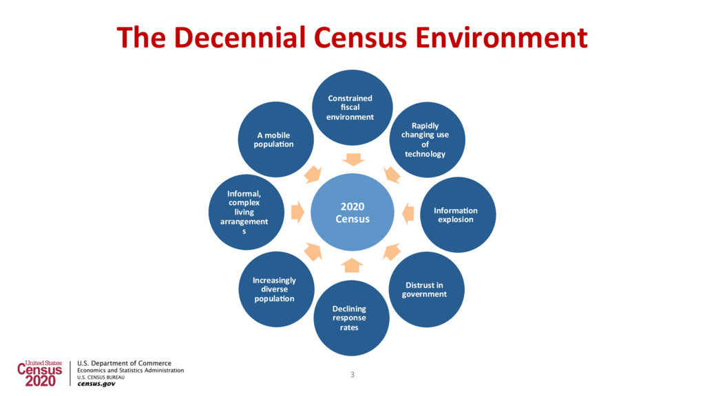
Informa@on explosion Distrust in government Declining response rates Increasingly diverse popula@on Informal, complex living arrangement s A mobile popula@on The Decennial Census Environment 3
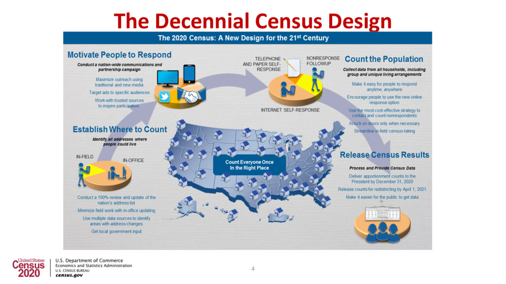
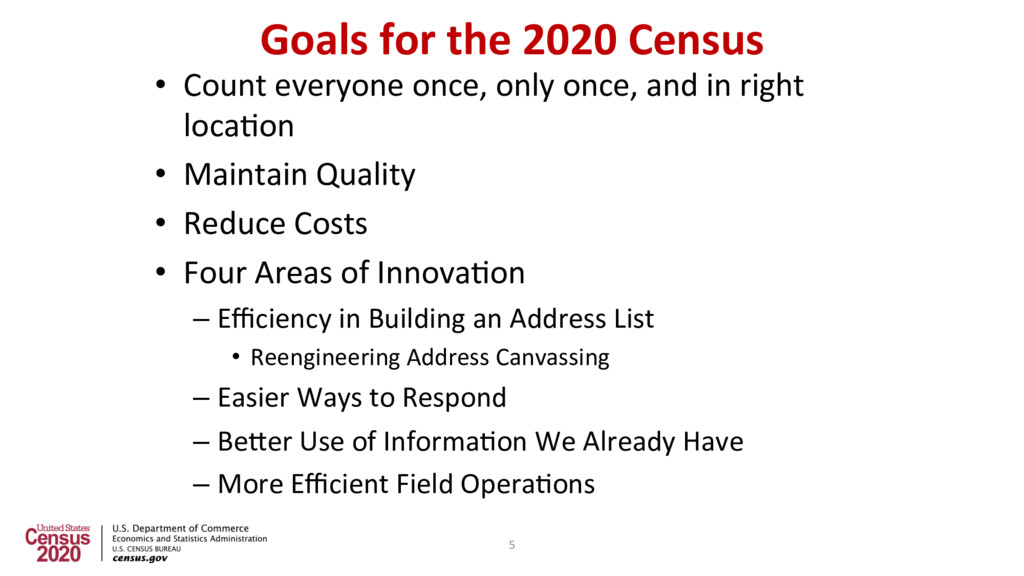
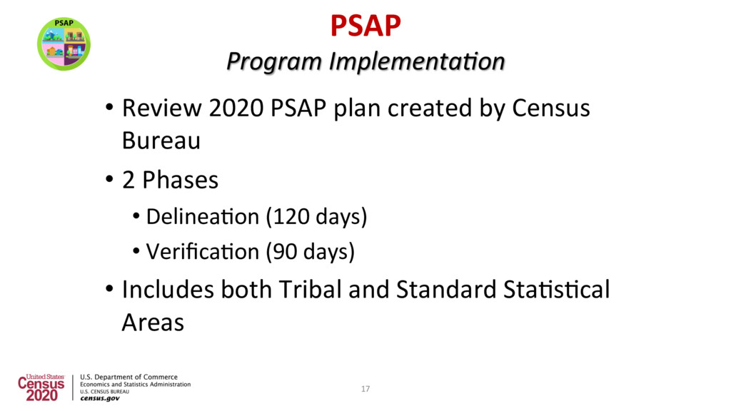
once, and in right loca2on • Maintain Quality • Reduce Costs • Four Areas of Innova2on – Efficiency in Building an Address List • Reengineering Address Canvassing – Easier Ways to Respond – BeUer Use of Informa2on We Already Have – More Efficient Field Opera2ons 5
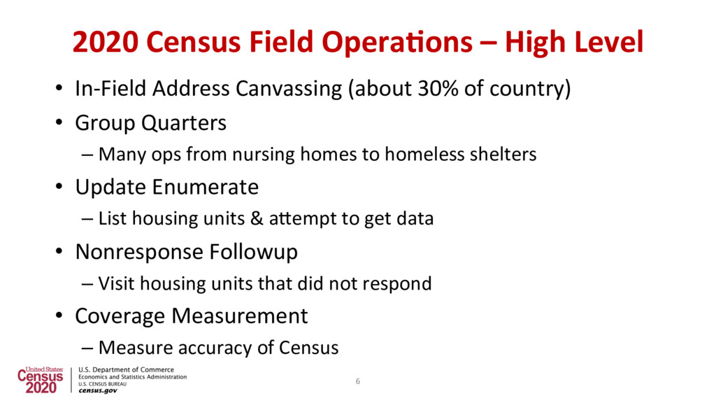
Canvassing (about 30% of country) • Group Quarters – Many ops from nursing homes to homeless shelters • Update Enumerate – List housing units & aUempt to get data • Nonresponse Followup – Visit housing units that did not respond • Coverage Measurement – Measure accuracy of Census 6
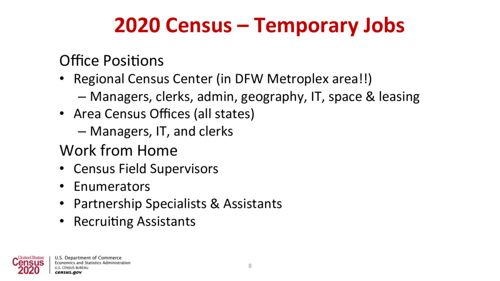
Center (in DFW Metroplex area!!) – Managers, clerks, admin, geography, IT, space & leasing • Area Census Offices (all states) – Managers, IT, and clerks Work from Home • Census Field Supervisors • Enumerators • Partnership Specialists & Assistants • Recrui2ng Assistants 8
Address Canvassing Conducted • April 2018: Regional Census Center Opens (DFW Metroplex) • Early 2019: Early Area Census Offices Open • Fall 2019: In-Field Address Canvassing (select areas) • Mid 2019: Area Census Offices Open • Early 2020: Group Quarters opera2ons Begin • March 23, 2020: Self Response & Update Enumerate Begin • April 1, 2020: Census Day! • May 2020: Nonresponse Followup Begins • August 2020: Data Collec2on Completes • December 31, 2020: Appor2onment Counts Delivered to President • March 31, 2021: Redistric2ng Counts Delivered to States 9
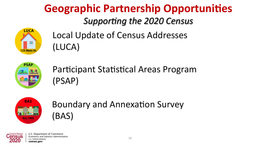
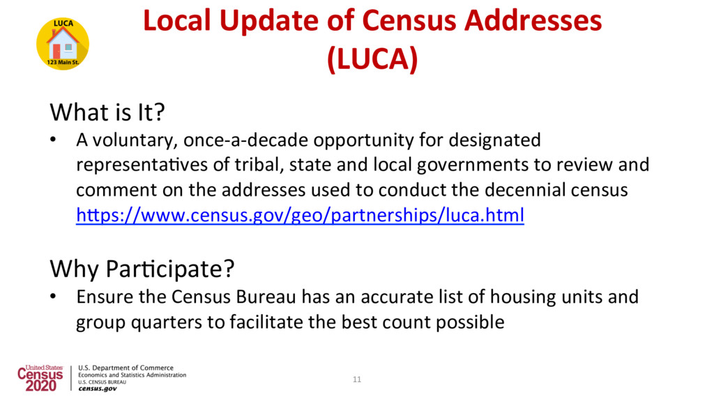
A voluntary, once-a-decade opportunity for designated representa2ves of tribal, state and local governments to review and comment on the addresses used to conduct the decennial census hUps://www.census.gov/geo/partnerships/luca.html Why Par2cipate? • Ensure the Census Bureau has an accurate list of housing units and group quarters to facilitate the best count possible 11
List Review • Standard sojware format (.csv) for the digital address list • Ungeocoded address records for state and county par2cipants • Requires residen2al mul2-unit structure iden2fiers (e.g., Apt 1, Unit A2, #3000, etc.) • Includes residen2al structure coordinates, if available • Allows par2cipants to submit residen2al structure coordinates, if available • Allows par2cipants to submit non-city style addresses with map spot 12
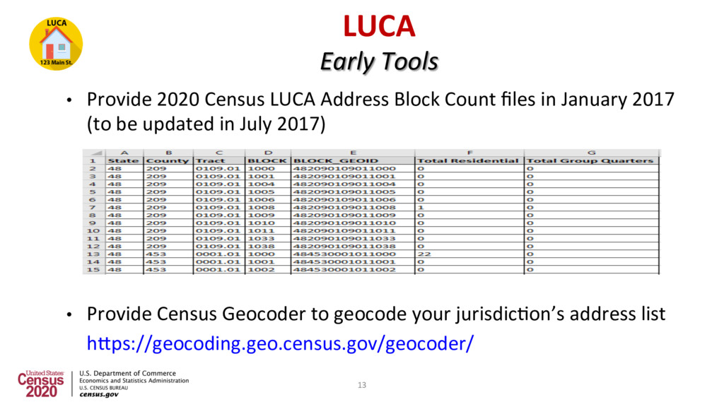
Count files in January 2017 (to be updated in July 2017) • Provide Census Geocoder to geocode your jurisdic2on’s address list hUps://geocoding.geo.census.gov/geocoder/ 13
Title 13 of the United States Code which: • Requires the Census Bureau to ensure confiden2al treatment of census-related informa2on, including individual addresses and map structure points • Requires all liaisons, reviewers, and anyone with access to Title 13 materials abide by Confiden2ality and Security Guidelines • Requires the Census Bureau maintain the confiden2ality of all informa2on it collects 14
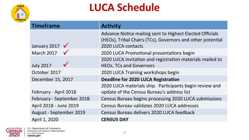
to Highest Elected Officials (HEOs), Tribal Chairs (TCs), Governors and other poten2al 2020 LUCA contacts March 2017 2020 LUCA Promo2onal presenta2ons begin July 2017 2020 LUCA invita2on and registra2on materials mailed to HEOs, TCs and Governors October 2017 2020 LUCA Training workshops begin December 15, 2017 Deadline for 2020 LUCA Registra@on February - April 2018 2020 LUCA materials ship. Par2cipants begin review and update of the Census Bureau's address list February - September 2018 Census Bureau begins processing 2020 LUCA submissions April 2018 - June 2019 Census Bureau validates 2020 LUCA addresses August - September 2019 Census Bureau delivers 2020 LUCA feedback April 1, 2020 CENSUS DAY ü ü ü 15
once-a-decade opportunity for designated representa2ves of planning agencies or other coordina2ng agencies to review and update sta2s2cal geographies for 2020 Census data tabula2on. These sta2s2cal geographies include census tracts, block groups, census county divisions (CCDs), and census designated places (CDPs). How to Par2cipate? • Census staff contact Tribal planners, Council of Government officials, or County planners who will redefine the sta2s2cal map of their jurisdic2on using census provided sojware tools and data. 16
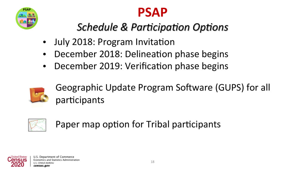
begins • December 2019: Verifica2on phase begins Geographic Update Program Sojware (GUPS) for all par2cipants Paper map op2on for Tribal par2cipants PSAP Schedule & Par0cipa0on Op0ons 18
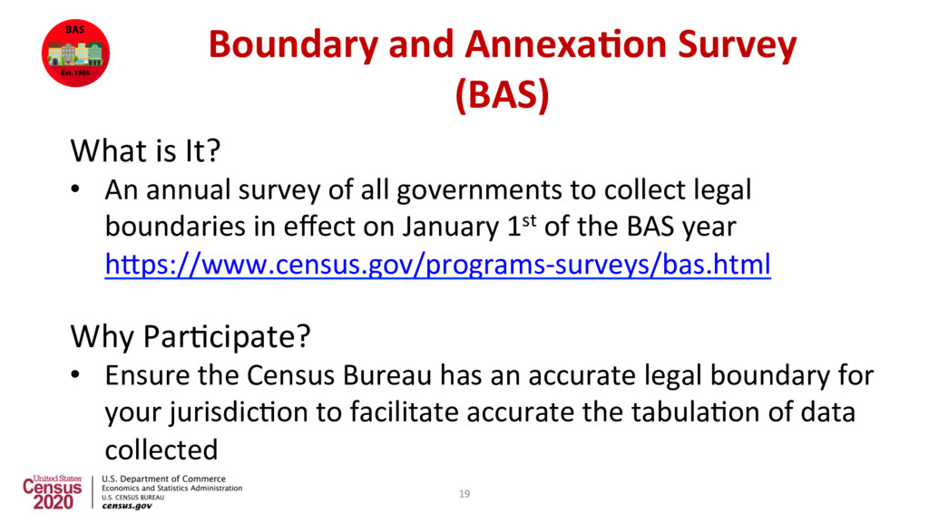
annual survey of all governments to collect legal boundaries in effect on January 1st of the BAS year hUps://www.census.gov/programs-surveys/bas.html Why Par2cipate? • Ensure the Census Bureau has an accurate legal boundary for your jurisdic2on to facilitate accurate the tabula2on of data collected 19
Invita2on leUer/email sent Submit by March 1 of Survey Year • Correc2ons/updates reflected in all subsequent censuses, surveys and es2mates published for that year Submit by May 31 of Survey Year • Correc2ons/updates reflected in the following year’s BAS materials 21
BAS, provides one last opportunity for jurisdic2ons to review their legal boundaries and make updates prior to 2020 Census Schedule: • March 2020: Highest Elected Officials (HEOs) and Tribal Leaders (TLs) provided maps of their jurisdic2on’s boundaries to review and update as necessary • May 2020: HEOs and TLs complete final valida2on of boundaries provided via BVP or the 2020 BAS 22
Highest Elected Officials – January BAS 2017 deadline to be included in the ACS, March 1 BAS 2017 deadline for updates to be included in next year’s BAS – May 31 LUCA Invita2on to review Census address list – July BAS 2018 annual invita2on to update legal boundaries - December BAS schedule repeated as above Redistric@ng Counts to the States- by March 31, 2021 Sta2s2cal Areas from PSAP become official April 1, 2021 BAS schedule repeated as above Boundary Valida@on Program maps sent to HEO/Tribal Chair - March Census Day – April 1, 2020 Appor@onment Counts to the President- by December 31, 2020 BAS schedule repeated as above LUCA Feedback provided to par2cipants - August LUCA Appeals Process - October PSAP Verifica2on materials available for review- December 90 days BAS schedule repeated as above LUCA materials available for review- February 120 days PSAP materials available for review -December 120 days 23
programs • Assess funding and alloca2on needs for 2019/2020 • Establish a/Par2cipate in a State Complete Count Commission and/or Local Complete Count CommiUee • Assist with Jobs and Recrui2ng • Promote 2020 Census importance for the state of TX 24
![Thank you In Closing… Denver Geography 720-962-3880 [email protected] Geographic Programs](https://files.speakerdeck.com/presentations/3e2c9fb21954466eb59f32c81931c448/slide_24.jpg)