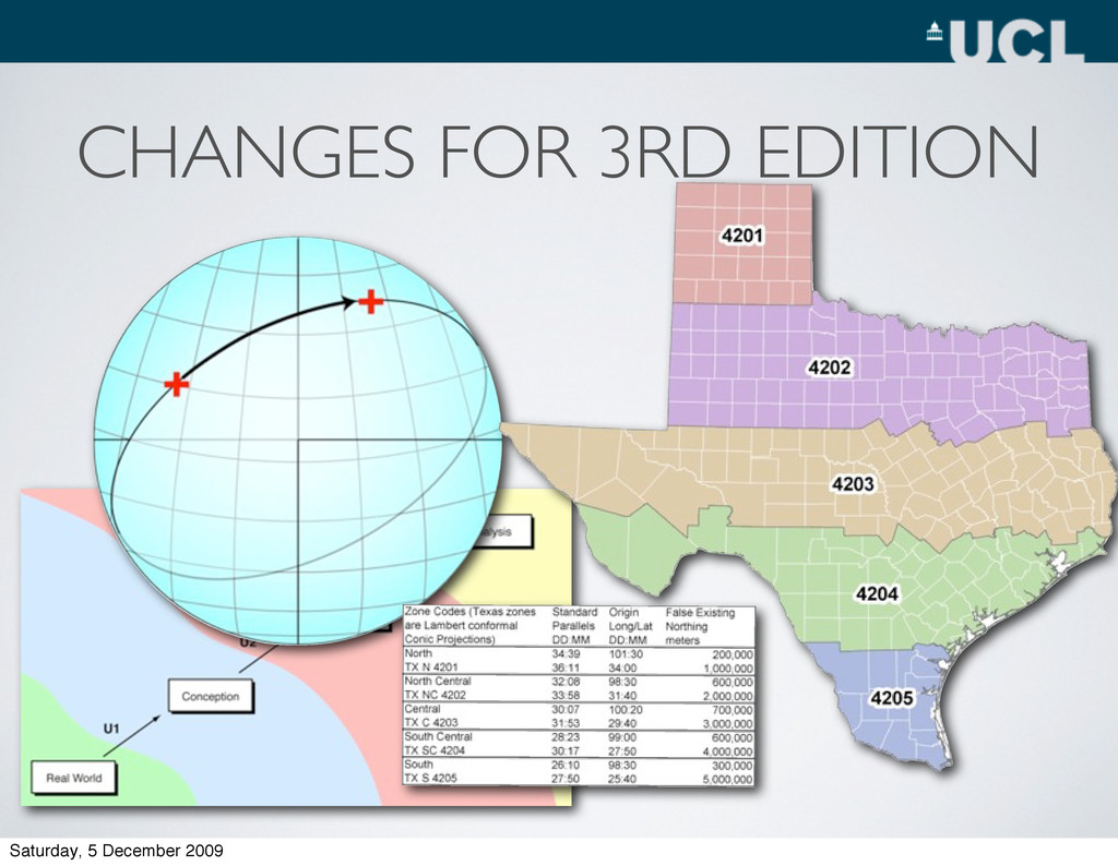
in Teaching Project • Geographical Information Systems and Science • Geospatial Analysis Handbook • Outreach Projects - Engaging with learners! • The CASA MRes • GIS in Schools Saturday, 5 December 2009
of Geography at University College London • Research and Teaching Interests: • Socio-spatial structure of cities • geodemographics • The geographies of educational inequalities • Neogeography www.alex-singleton.com areaprofiles.blogspot.com Saturday, 5 December 2009
• 1 Full Time Course - Kingston • Majority Geography Degrees - GIS Component • Postgraduate • MSc - ~15 x GIS Courses (1 Year Full Time) • PhD Training • Requirement of Funding Saturday, 5 December 2009
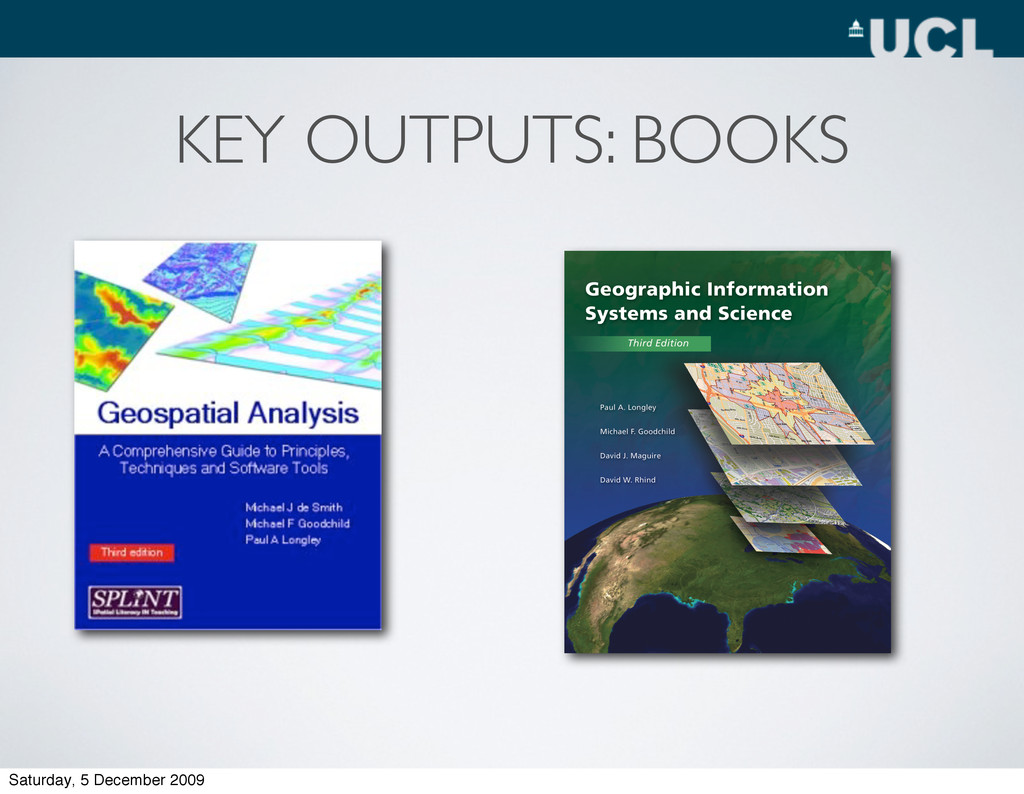
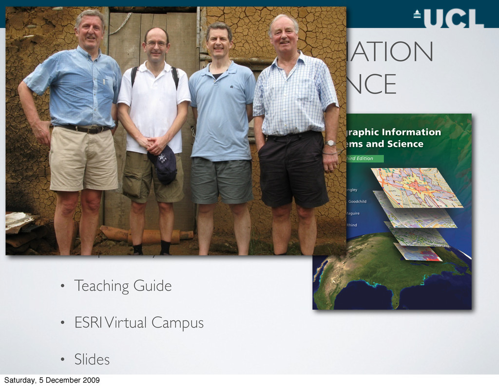
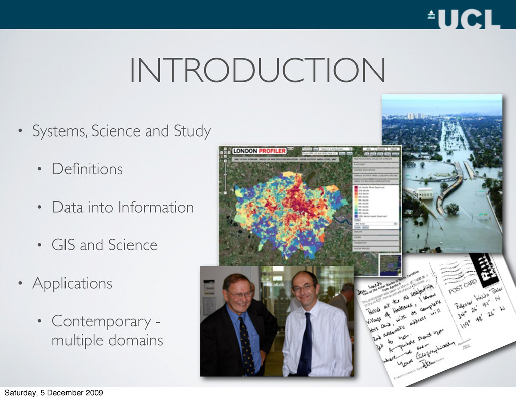
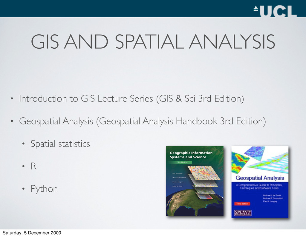
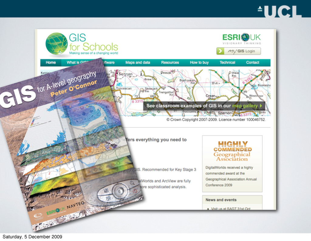
• Translation numerous Languages • Accompanied by • Teaching Guide • ESRI Virtual Campus • Slides GEOGRAPHIC INFORMATION SYSTEMS AND SCIENCE Saturday, 5 December 2009
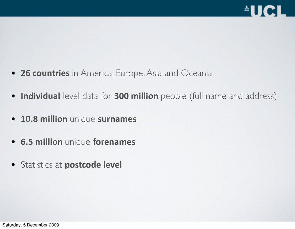
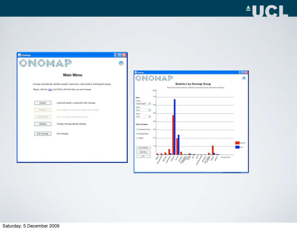
Individual level data for 300 million people (full name and address) • 10.8 million unique surnames • 6.5 million unique forenames • Statistics at postcode level Saturday, 5 December 2009
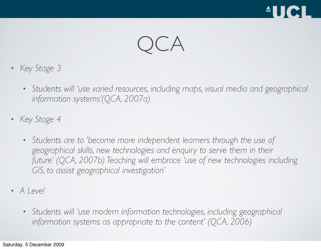
resources, including maps, visual media and geographical information systems’(QCA, 2007a) • Key Stage 4 • Students are to ‘become more independent learners through the use of geographical skills, new technologies and enquiry to serve them in their future’ (QCA, 2007b) Teaching will embrace ‘use of new technologies including GIS, to assist geographical investigation’ • A Level • Students will ‘use modern information technologies, including geographical information systems as appropriate to the content’ (QCA, 2006) Saturday, 5 December 2009
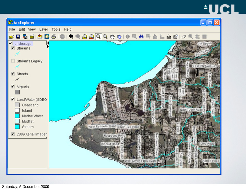
layer left click on the + or – button associated with it. Click on the + or – button of each sub layer to hide or display its key In the table of contents click the plus button next to land use label to see the options that can be displayed in the land use group Click on all the land use Saturday, 5 December 2009