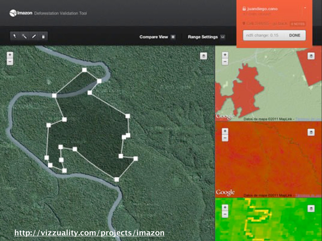
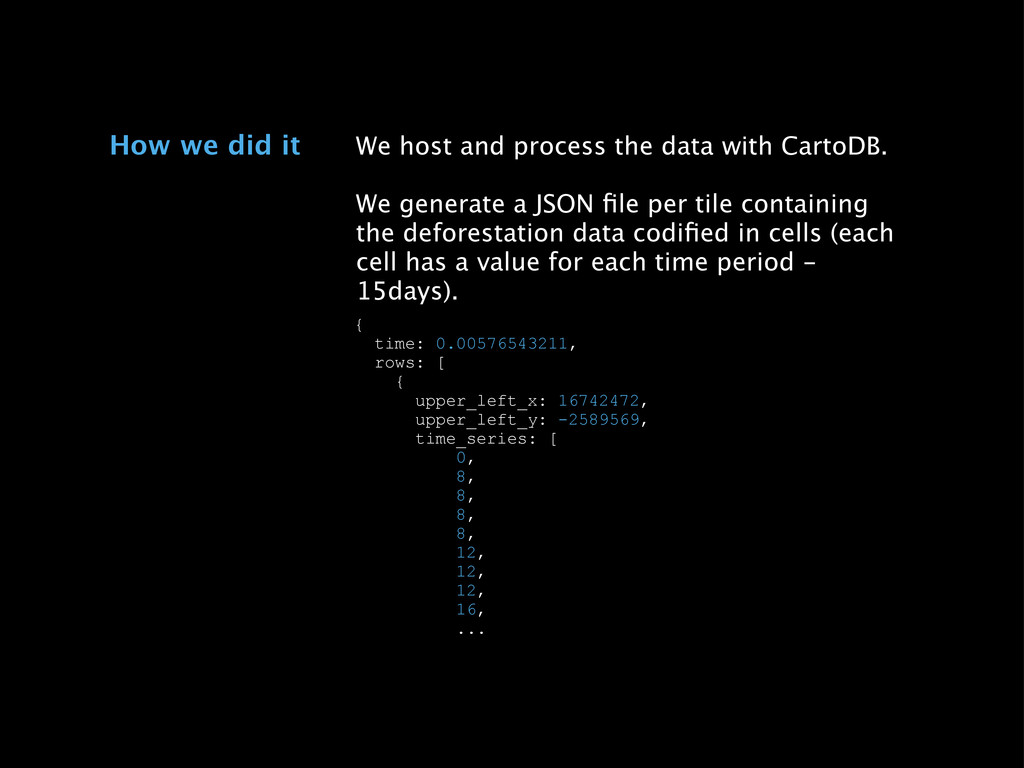
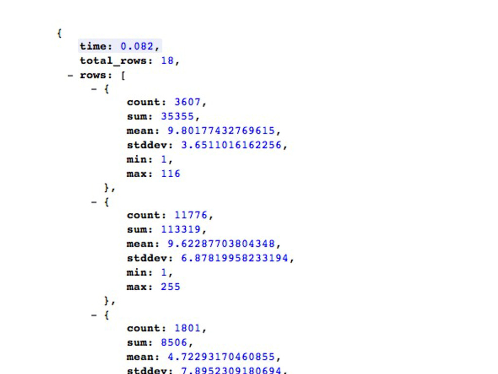
a JSON file per tile containing the deforestation data codified in cells (each cell has a value for each time period - 15days). How we did it { time: 0.00576543211, rows: [ { upper_left_x: 16742472, upper_left_y: -2589569, time_series: [ 0, 8, 8, 8, 8, 12, 12, 12, 16, ...
![[email protected] for student accounts](https://files.speakerdeck.com/presentations/0e6ff200208001308966123139160c33/slide_76.jpg)