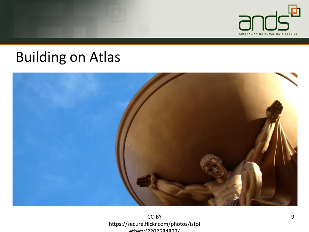
Government being conducted as part of the National Collaborative Research Infrastructure Strategy ($A24M) and the Super Science Initiative ($A48M) through DIICCSRTE A collaboration between Monash University, the Australian National University and CSIRO 30 staff, funded to mid 2015 More researchers re-using more data more often Data as a first-class object CC-BY @atreloar 2
Single use To Structured Collections that are: Managed Connected Findable Reusable so that Australian researchers can easily publish, discover, access and use/re-use research data. CC-BY @atreloar 3
of having data available for re-use that will result in data being transformed or integrated across multiple sources to produce new forms of information that enable innovative, high-quality research outcomes deliver value to a high-profile research champion be relevant to a range of government portfolios engage with national research capabilities CC-BY @atreloar 4
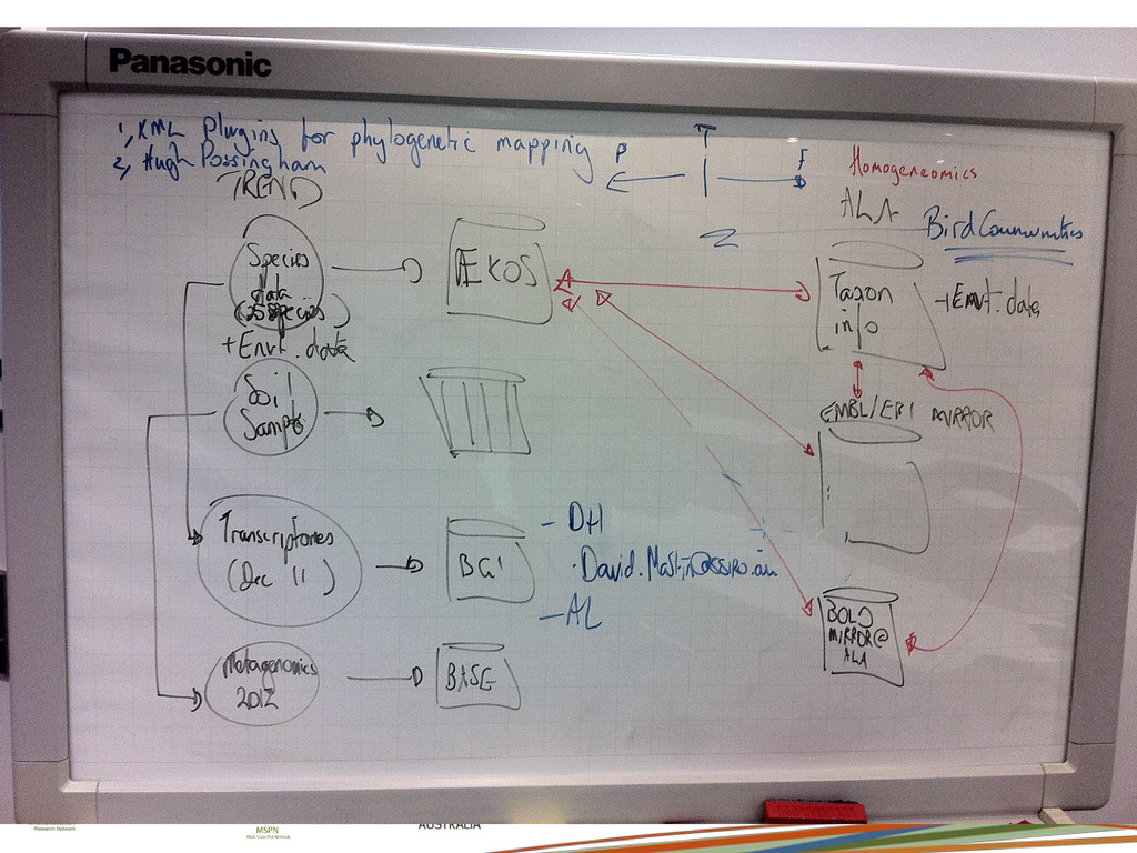
ecological data (ÆKOS, CSIRO NSA) • Plot-based plant community data • Soil characterisation data - structure, pH ,nutrients, carbon etc Atlas of Living Australia (spatially represented data) • Species occurrence and distribution data • Environmental characteristics TERN AusCover (biophysical remote sensing data) • multi-spectral characteristics of site. TREND genomics data (BPA, SARDI, BGI, BOLD) • Opaque “blobs” of genomics data including barcode sequences, Soil Metagenomics data , isotope data
has been observed Uses this information to calculate and display how well the climate across Australia suits that species Shows an animation of how the suitable climate for a species may change into the future Allows registered users to improve its accuracy by classifying observations CC-BY @atreloar 7
and back-end services developed by ALA under this project as Biocache extensions Biocache designed to aggregate occurrence data from multiple sources provide data quality checks and cleaning of the data support assertions by the data made by software or people provide webservice access to this data to facilitate re-use in other portals. More at ap30-ala.blogspot.com.au/2012/10/final-product-post.html 8 CC-BY @atreloar
data Licensing that allows re-use Co-location of data and tools Web services over the data Pre-computation where appropriate ALA as a unique national resource 10 CC-BY @atreloar
Prof. Andy Lowe, Adelaide project team Edgar Marianne Brown (PM) A/Prof Jeremy Vanderwal, JCUhttps://www.youtube.com/watch?v=szl61Eerfpo Prof Stephen Garnett, CDUhttps://www.youtube.com/watch?v=g8z2yFDYwHI project team ALA developers 11 CC-BY @atreloar