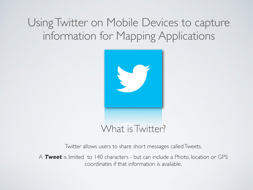
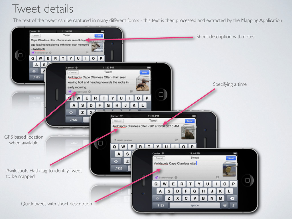
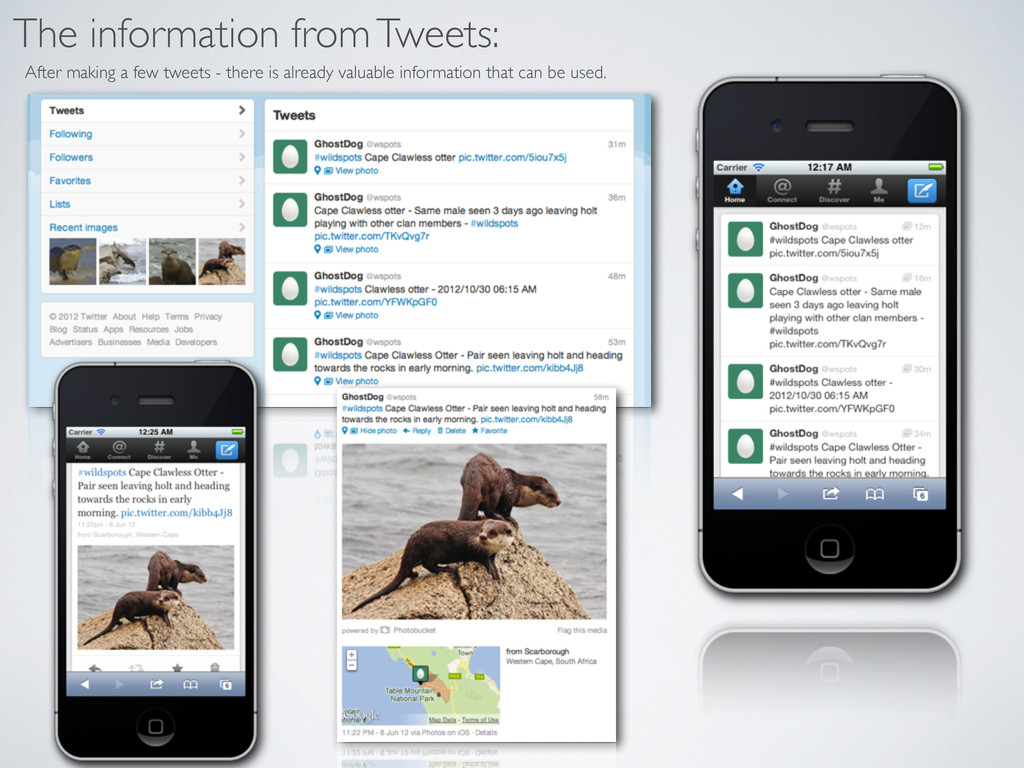
Twitter allows users to share short messages called Tweets.
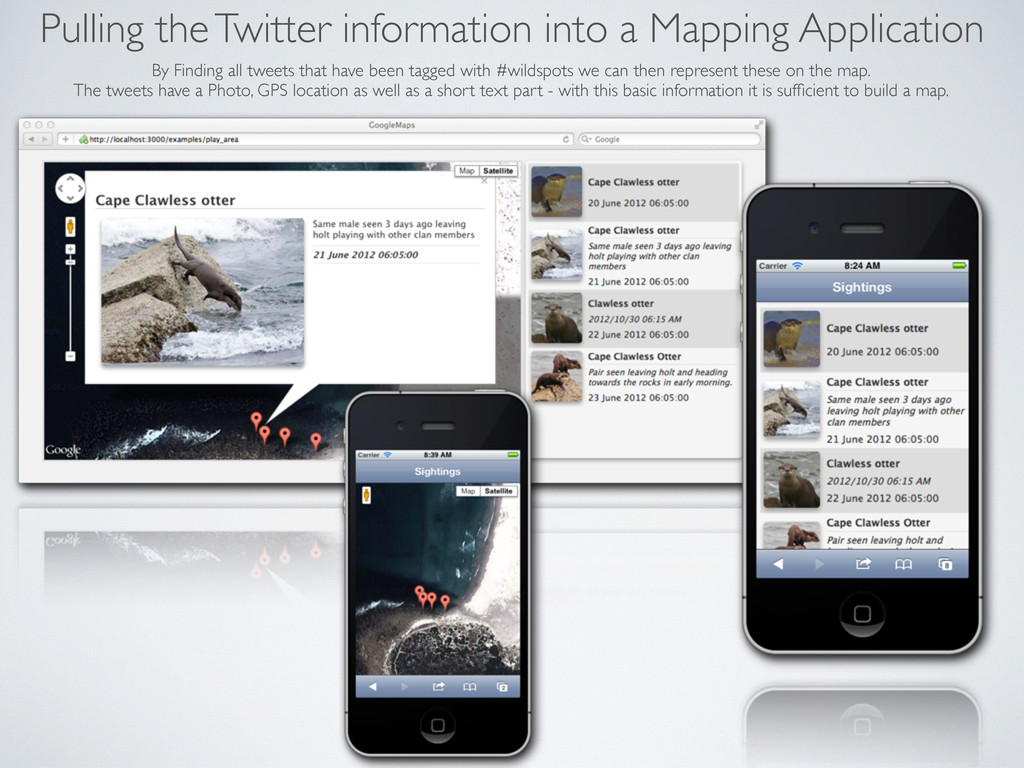
A Tweet is limited to 140 characters - but can include a Photo, location or GPS coordinates if that information is available - making it the idea service for easily capturing Mapping information without the need to author Native mobile application.
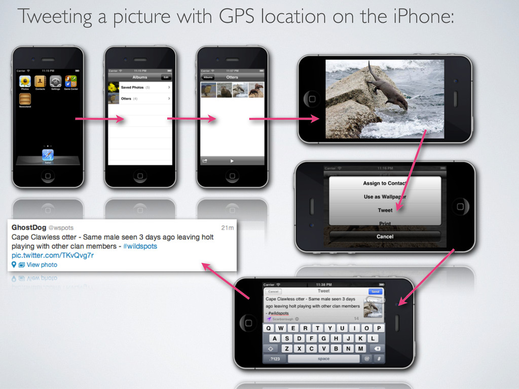
Twitter provides Native Mobile applications that make use of Camera and GPS hardware across different mobile devices (iPhone, Android, BlackBerry) which can be leveraged from capturing mapping information.