Course Leader for BA (Hons) Media and Communications & BA (Hons) Media and Creative Writing School of Film, Media and Performing Arts University for the Creative Arts UK
produced through the complex negotiations that make up the social process and practices through which we produce and interpret images. (Sturken & Cartwright 2009: 49) • The production of meaning involves: – The image itself – Its producer – The codes and conventions that structure the image and that cannot be separated from the content of the image – The viewers and how they interpret or experience the image – The contexts in which an image is exhibited and viewed
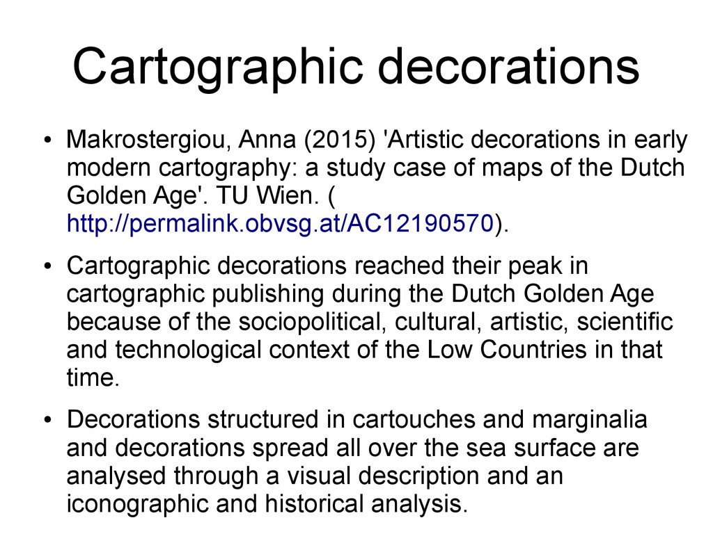
modern cartography: a study case of maps of the Dutch Golden Age'. TU Wien. ( http://permalink.obvsg.at/AC12190570). • Cartographic decorations reached their peak in cartographic publishing during the Dutch Golden Age because of the sociopolitical, cultural, artistic, scientific and technological context of the Low Countries in that time. • Decorations structured in cartouches and marginalia and decorations spread all over the sea surface are analysed through a visual description and an iconographic and historical analysis.
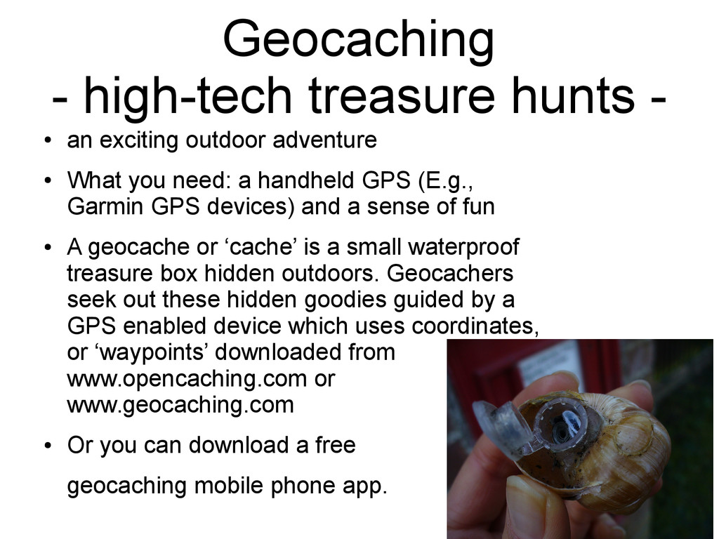
adventure • What you need: a handheld GPS (E.g., Garmin GPS devices) and a sense of fun • A geocache or ‘cache’ is a small waterproof treasure box hidden outdoors. Geocachers seek out these hidden goodies guided by a GPS enabled device which uses coordinates, or ‘waypoints’ downloaded from www.opencaching.com or www.geocaching.com • Or you can download a free geocaching mobile phone app.
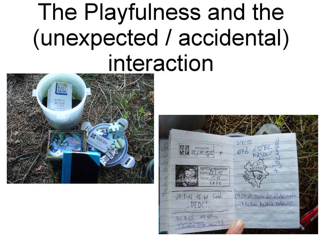
box, you'll discover a log book for you to leave a message in (and of course you'll also have the satisfaction of finding the box, a reward in itself). • The box may also contain a strange array of trinkets that people have left to swap. If you take a treasure out of the box, you should leave another trinket in its place, so come prepared.
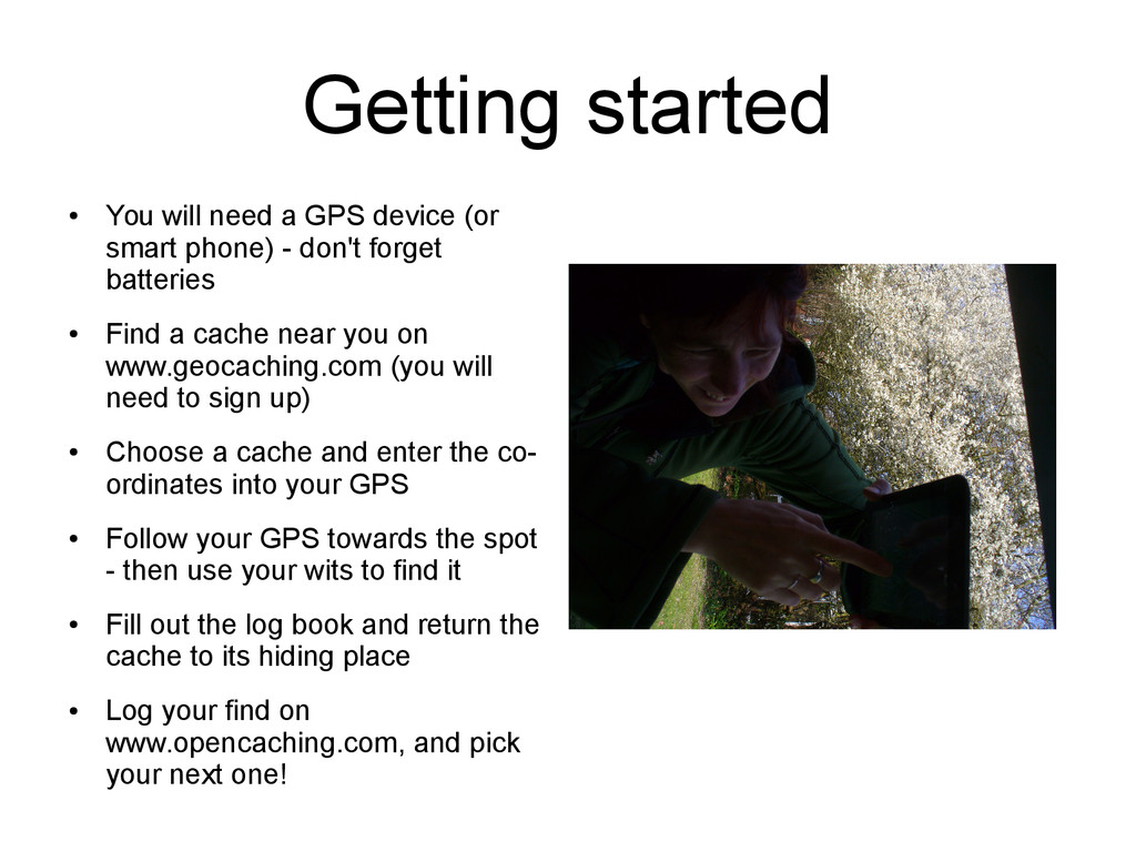
smart phone) - don't forget batteries • Find a cache near you on www.geocaching.com (you will need to sign up) • Choose a cache and enter the co- ordinates into your GPS • Follow your GPS towards the spot - then use your wits to find it • Fill out the log book and return the cache to its hiding place • Log your find on www.opencaching.com, and pick your next one!
Geograph is a concept and open source code for a online website to create a comprehensive collection of photographs capturing every part of given region. • http://www.geograph.org.uk/ • http://www.geograph.org/ • http://openspace.nearby.org.uk/geograph.php
do they do what they do? Why do they do what they do? When do they do what they do? Which community? Which platform? Which tool? Sociological questions
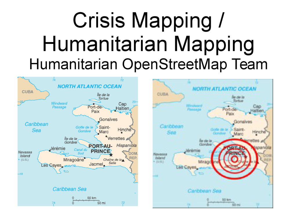
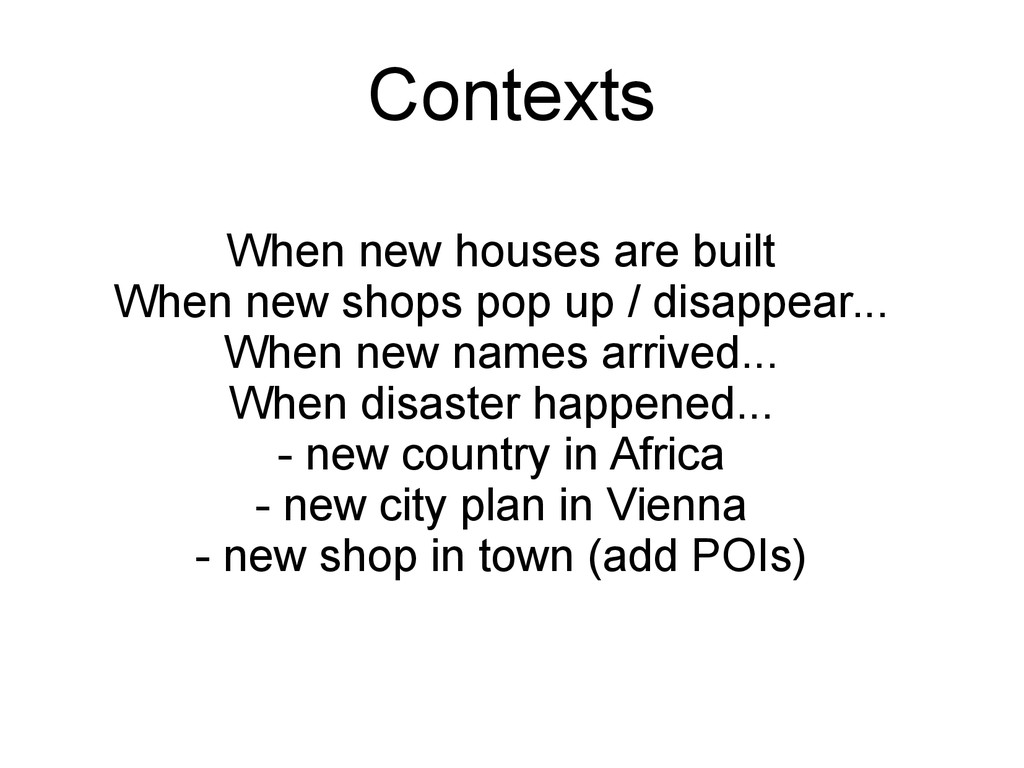
/ disappear... When new names arrived... When disaster happened... - new country in Africa - new city plan in Vienna - new shop in town (add POIs) Contexts
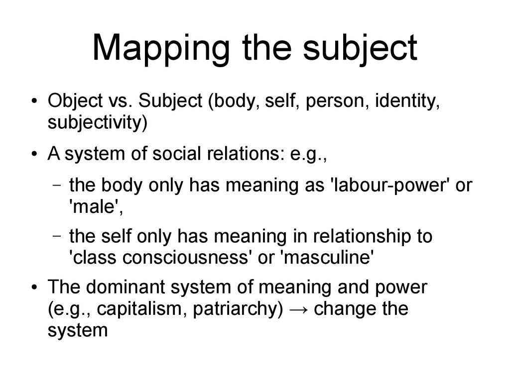
identity, subjectivity) • A system of social relations: e.g., – the body only has meaning as 'labour-power' or 'male', – the self only has meaning in relationship to 'class consciousness' or 'masculine' • The dominant system of meaning and power (e.g., capitalism, patriarchy) → change the system
seeing • Classifying, categorising, sorting things out • Linking, associating with our experiences and available knowledge • Knowledge making • Socialising, chatting • Learning, exchanging
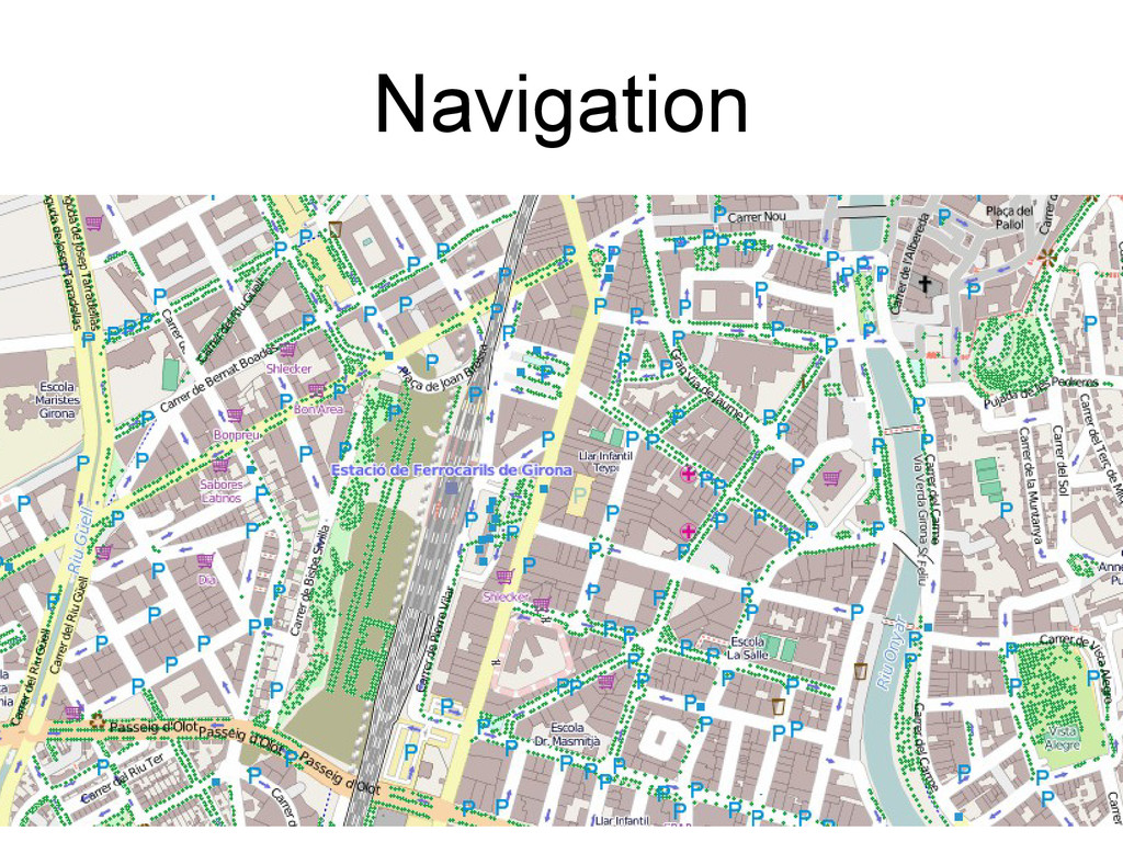
Where does one road start / end? • Which road is this house on? C/ De Vallbona, or C/ Del Carme? • Where is the entrance to a building? On which street? • Is this traffic sign still valid? - e.g., the old “Piscina” • What does the sign mean? “Ensinistrament de gossos de caca”
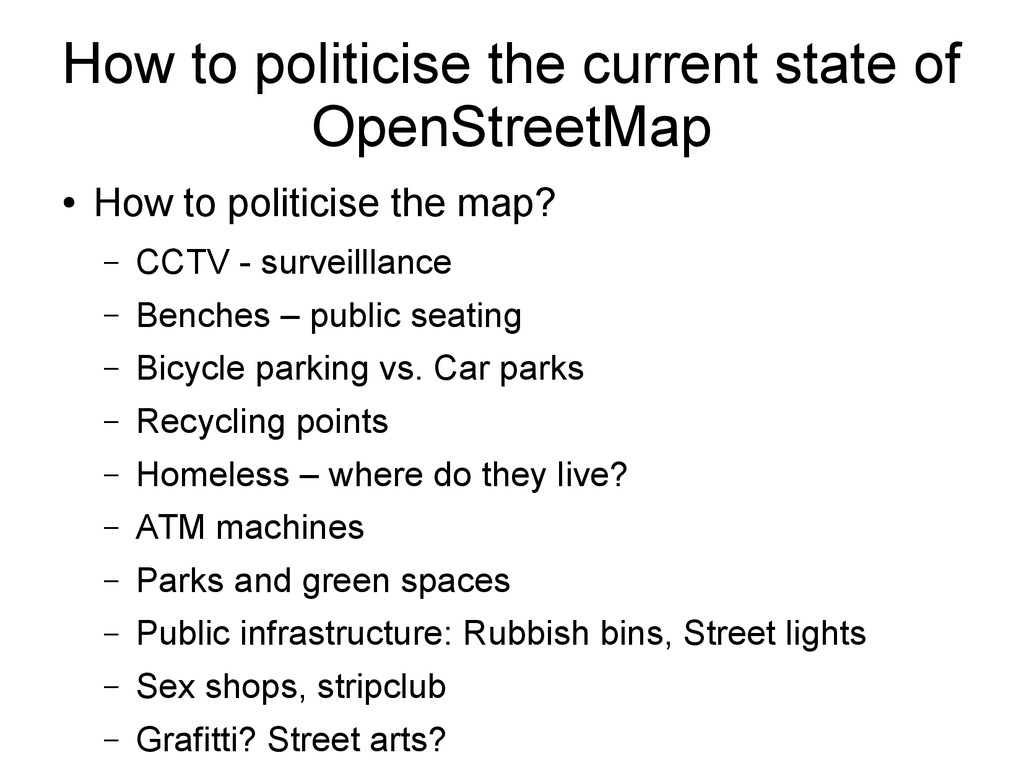
to politicise the map? – CCTV - surveilllance – Benches – public seating – Bicycle parking vs. Car parks – Recycling points – Homeless – where do they live? – ATM machines – Parks and green spaces – Public infrastructure: Rubbish bins, Street lights – Sex shops, stripclub – Grafitti? Street arts?
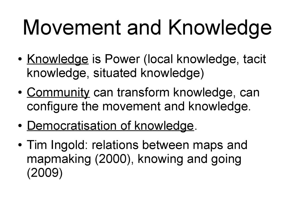
knowledge, situated knowledge) • Community can transform knowledge, can configure the movement and knowledge. • Democratisation of knowledge. • Tim Ingold: relations between maps and mapmaking (2000), knowing and going (2009)
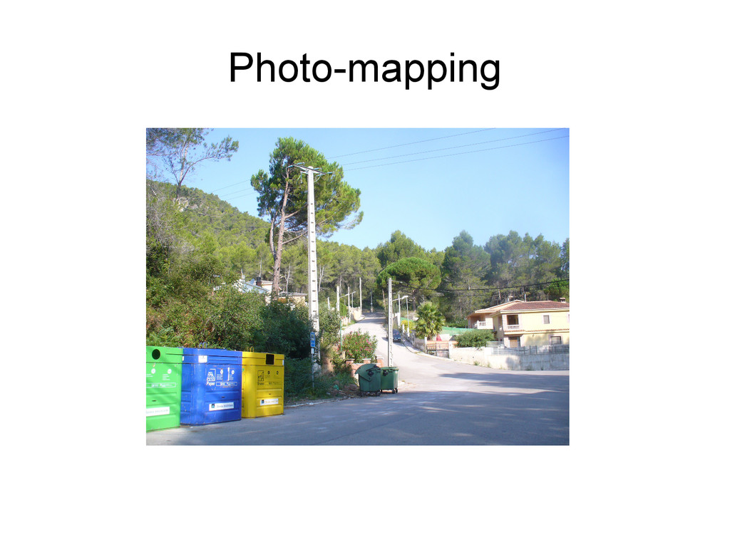
look too shifty while photo mapping a playground. Do it from a distance – http://wiki.openstreetmap.org/wiki/Photo_mapping – What makes a good photograph? • Readable texts • Spatial references
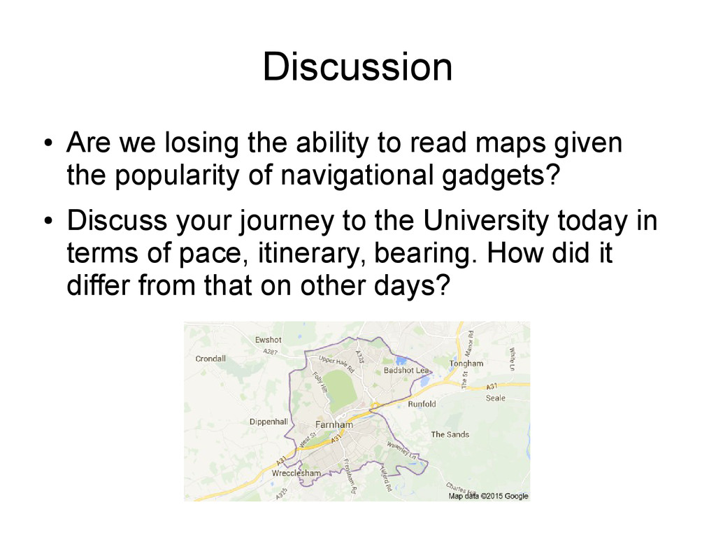
given the popularity of navigational gadgets? • Discuss your journey to the University today in terms of pace, itinerary, bearing. How did it differ from that on other days?
Iain Mott is going to have an installation at Farnham this weekend. BBC 6 O'clock news has offered you (broadcast journalists) 1-minute air time this evening. Work in a group of four to discuss how you would introduce the event to the audience and encourage them to attend.