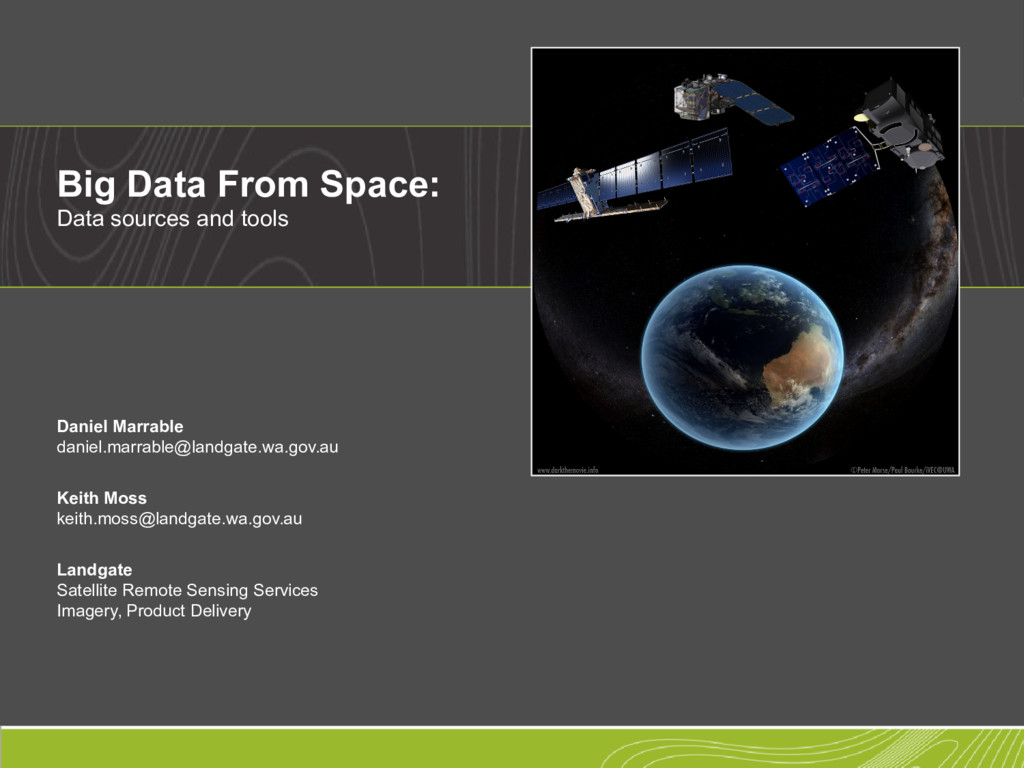
From Space: Data sources and tools Daniel Marrable [email protected] Keith Moss [email protected] Landgate Satellite Remote Sensing Services Imagery, Product Delivery
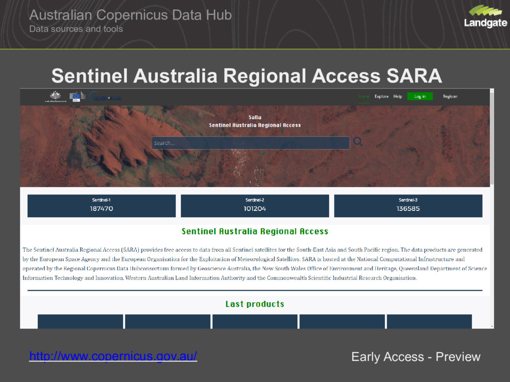
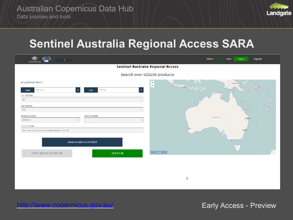
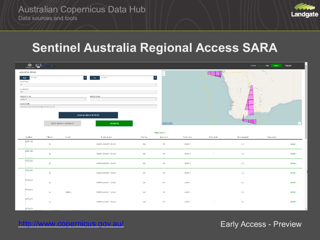
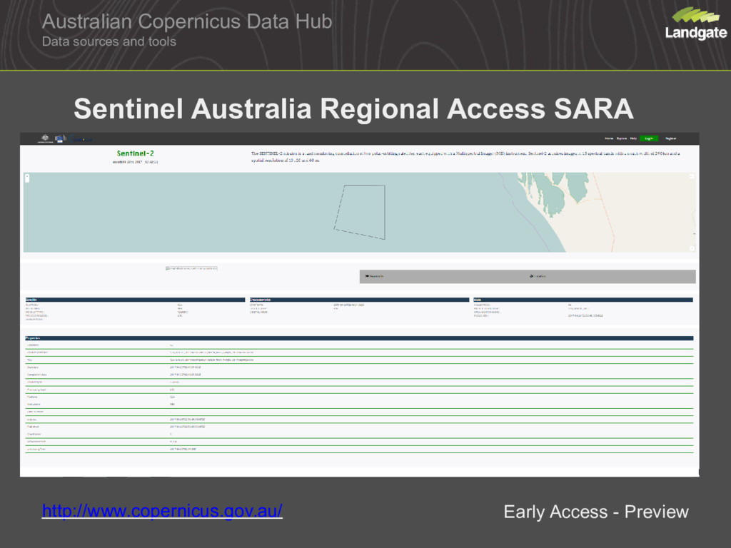
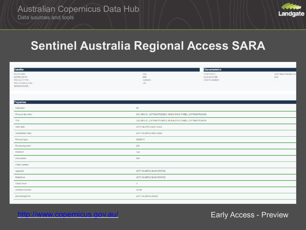
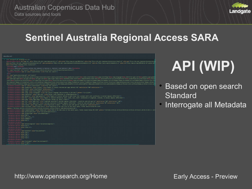
How to access Sentinel Data Internationally Australia Sentinal Australia Regional Access SARA Web API Open Data Landgate Pawsey Tools
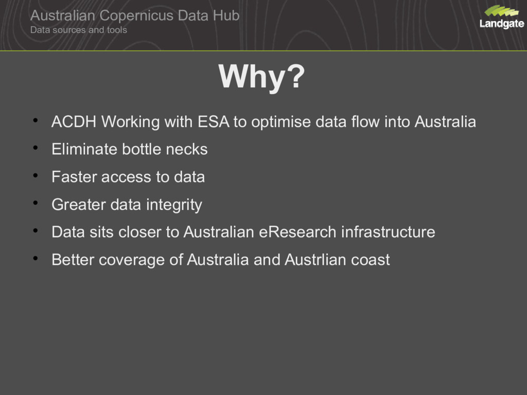
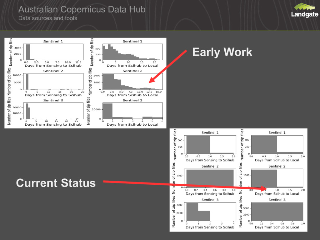
ACDH Working with ESA to optimise data flow into Australia Eliminate bottle necks Faster access to data Greater data integrity Data sits closer to Australian eResearch infrastructure Better coverage of Australia and Austrlian coast
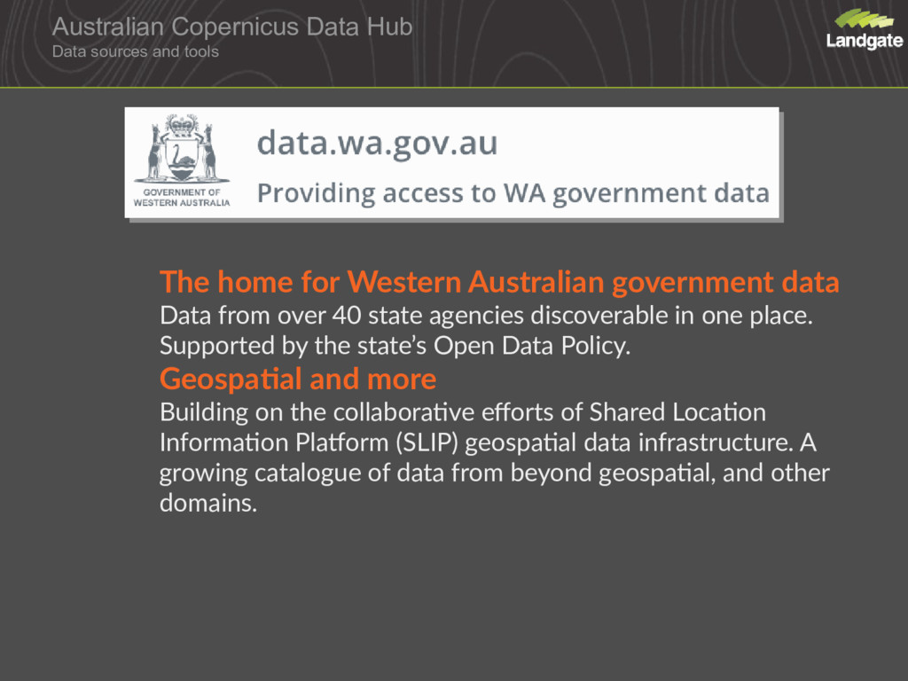
for Western Australian government data Data from over 40 state agencies discoverable in one place. Supported by the state’s Open Data Policy. Geospatial and more Building on the collaborative efforts of Shared Location Information Platform (SLIP) geospatial data infrastructure. A growing catalogue of data from beyond geospatial, and other domains.
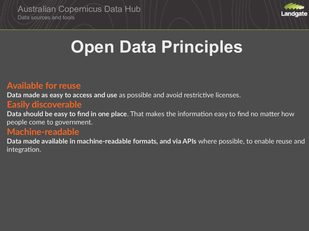
reuse Data made as easy to access and use as possible and avoid restrictive licenses. Easily discoverable Data should be easy to find in one place. That makes the information easy to find no matter how people come to government. Machine-readable Data made available in machine-readable formats, and via APIs where possible, to enable reuse and integration. Open Data Principles
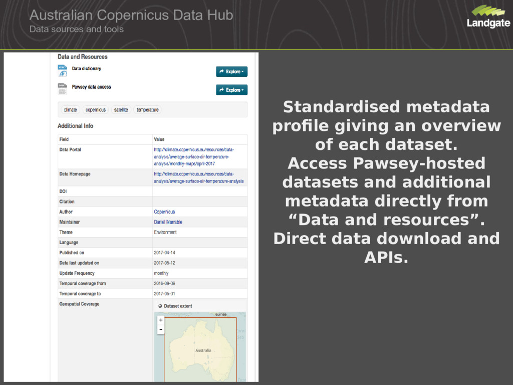
profile giving an overview of each dataset. Access Pawsey-hosted datasets and additional metadata directly from “Data and resources”. Direct data download and APIs.


 marrabld
 trycycle
 nozakijcom
 hayataka88
 arfon
 konakalab
 ianozsvald
 michielstock
 tsoh
 stuffmc
 katiecoart
 andyhume
 cassininazir
 zakiyama
 marcduiker
 addyosmani
 helenjbeal
 ryanjones
 emna__ayadi
 ipullrank
 jdejongh