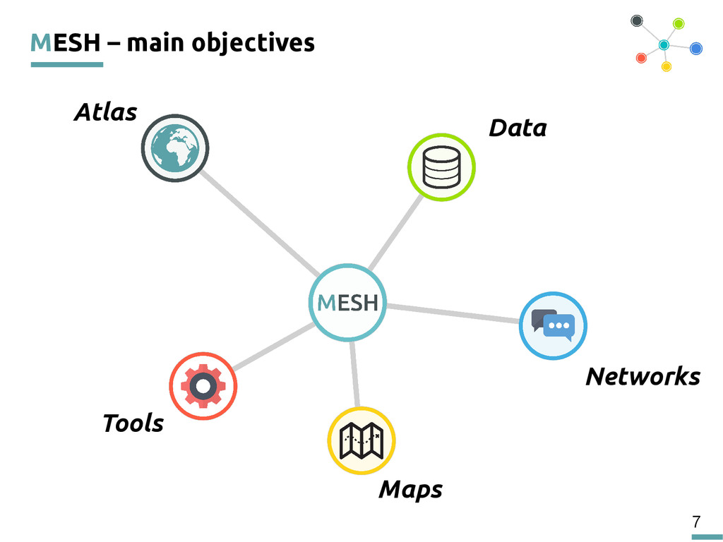
MESH (Mapping Edinburgh’s Social History) is a path-breaking AHRC funded project that uses data based on addresses and areas to represent historical information. It provides a spatial dimension that enriches and enhances an understanding of the past.
This particular talk shows:
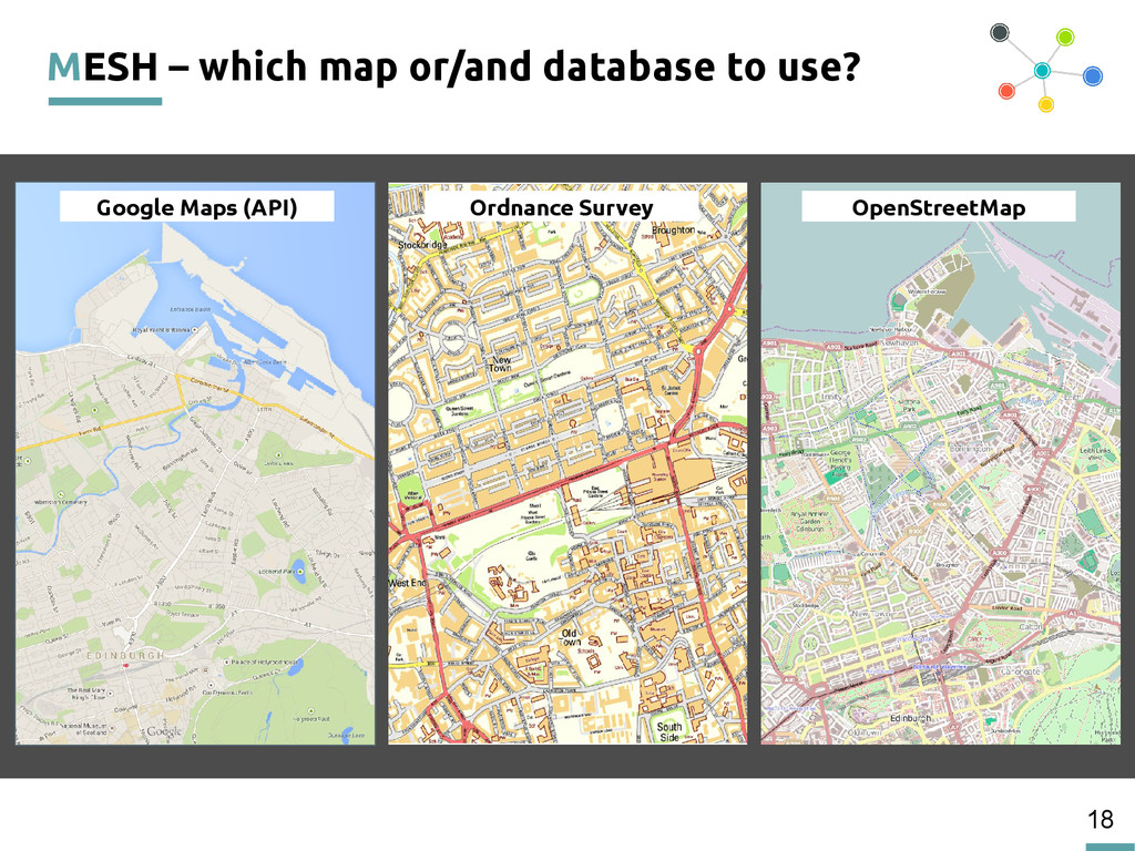
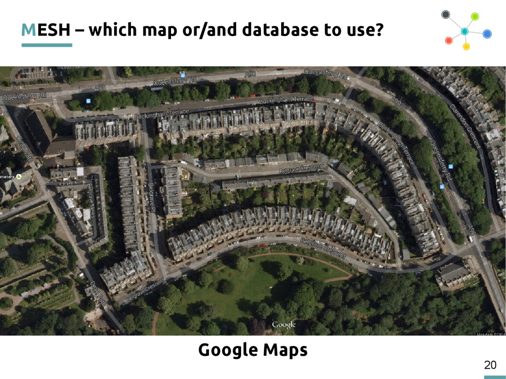
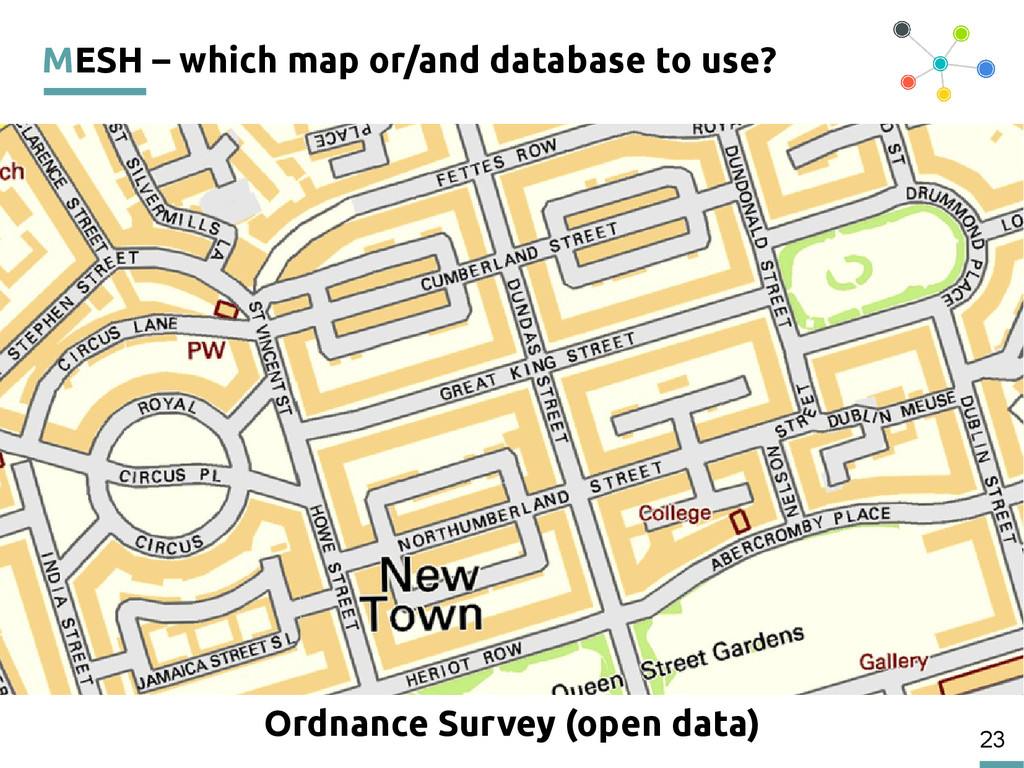
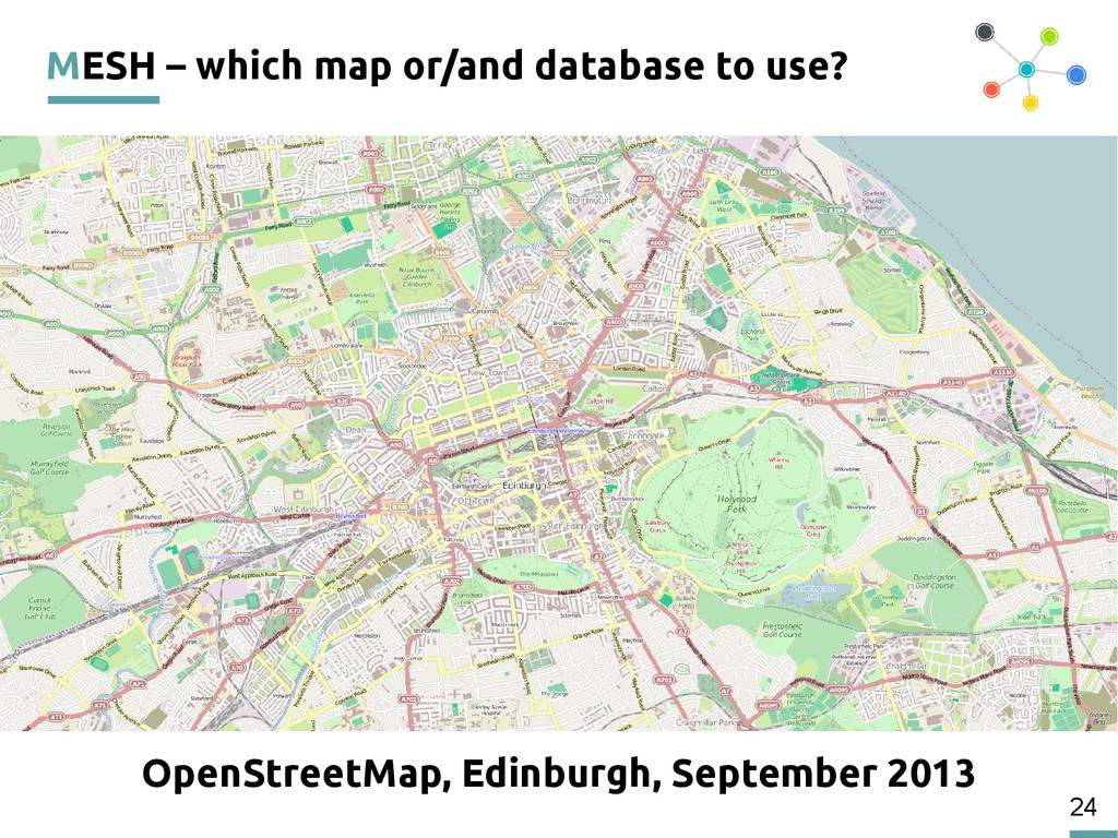
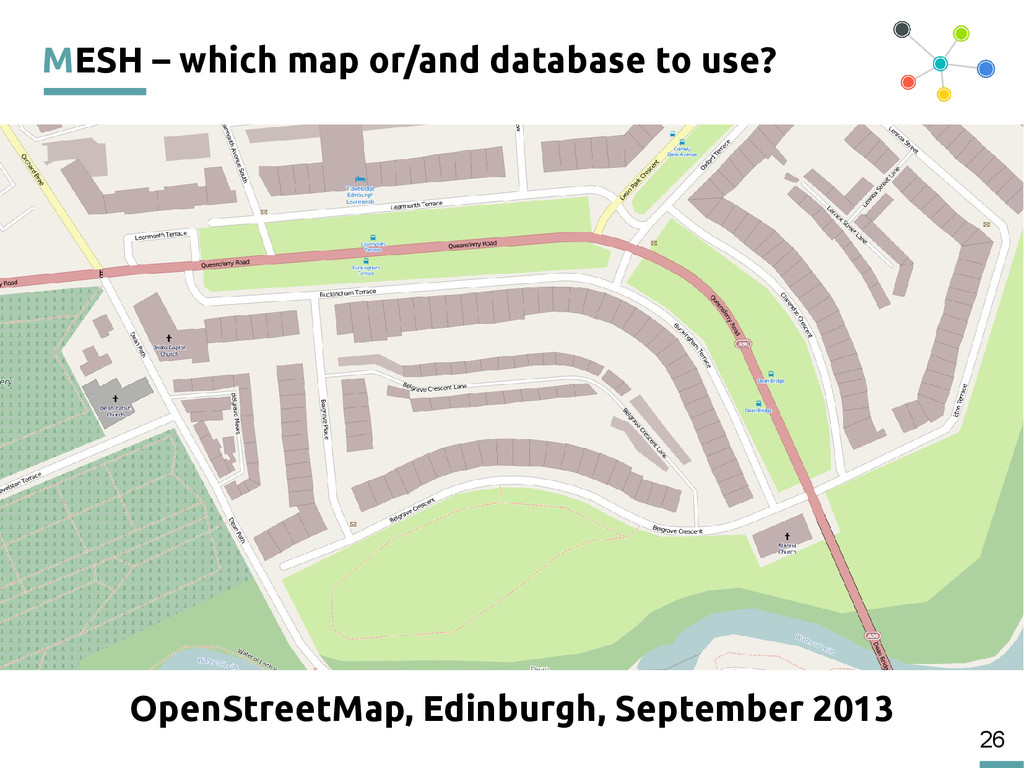
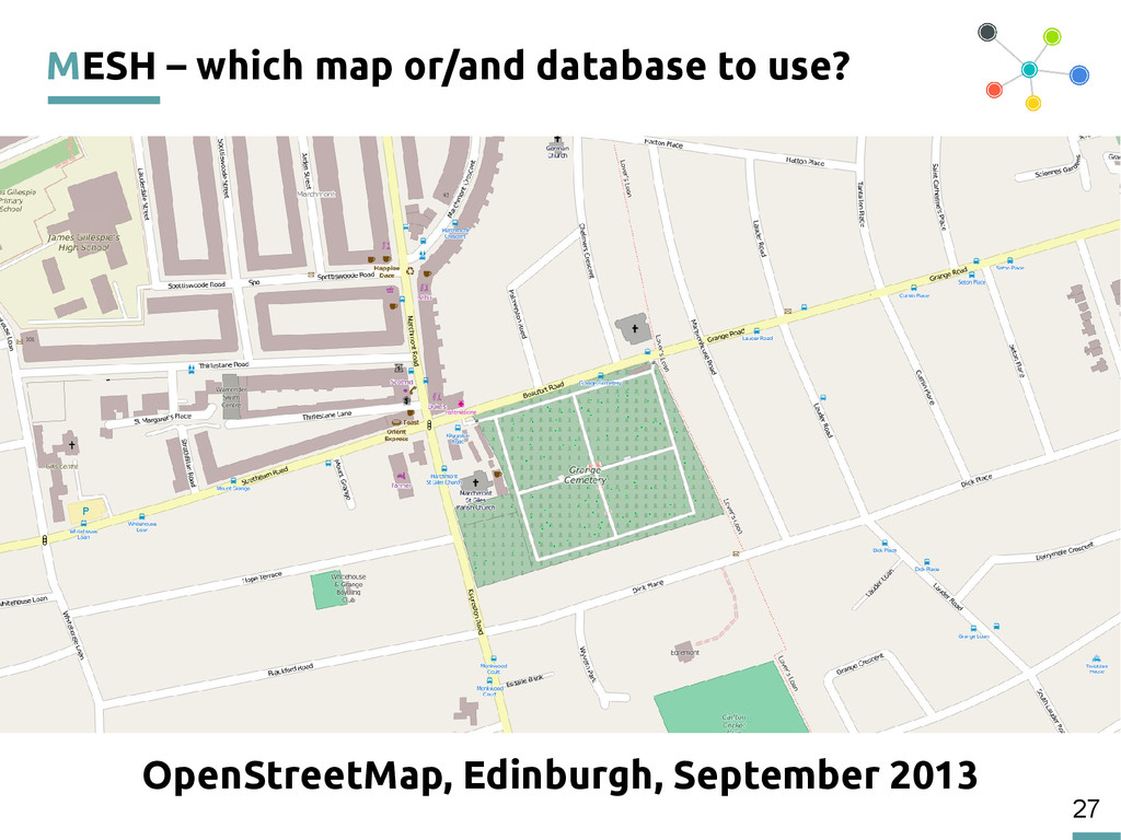
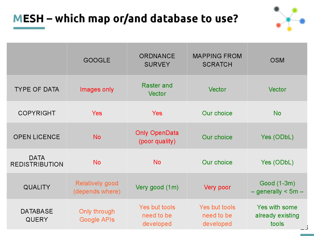
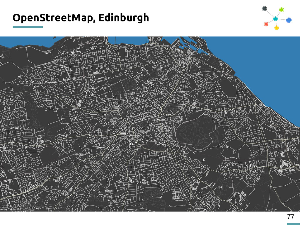
- why the MESH team chose OpenStreetMap (OSM) among different cartographic solutions,
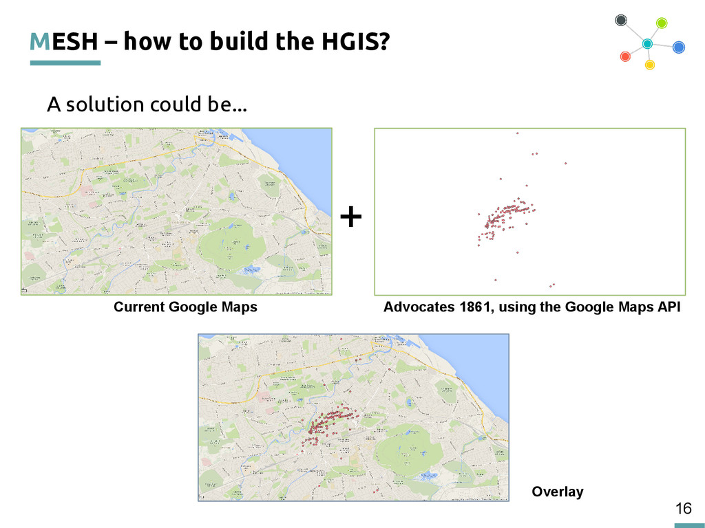
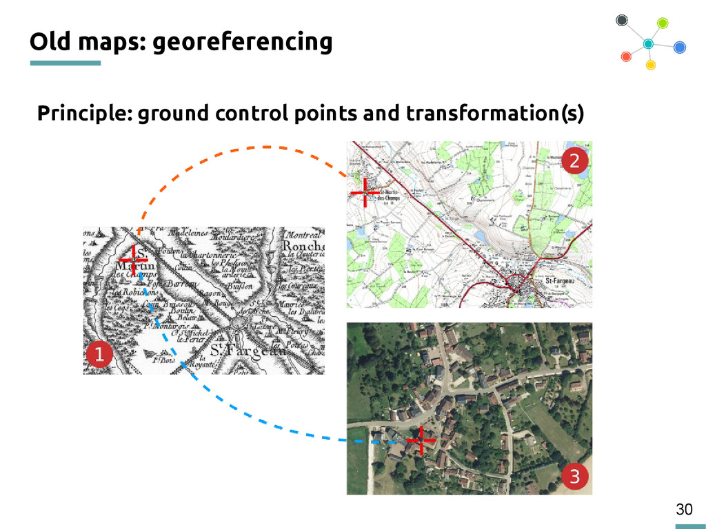
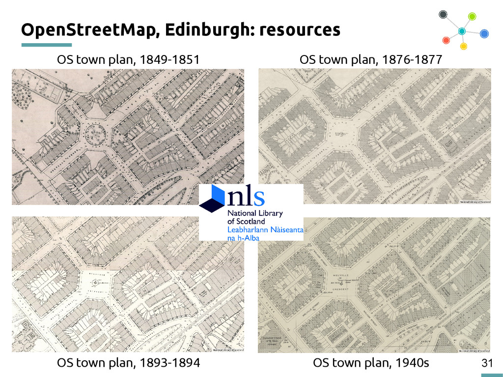
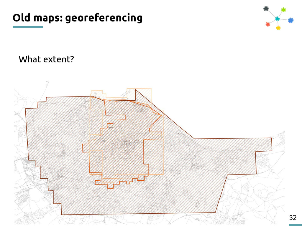
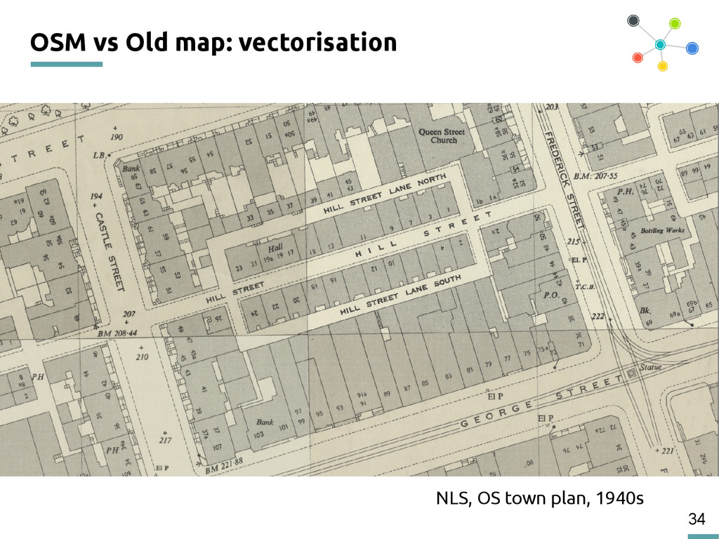
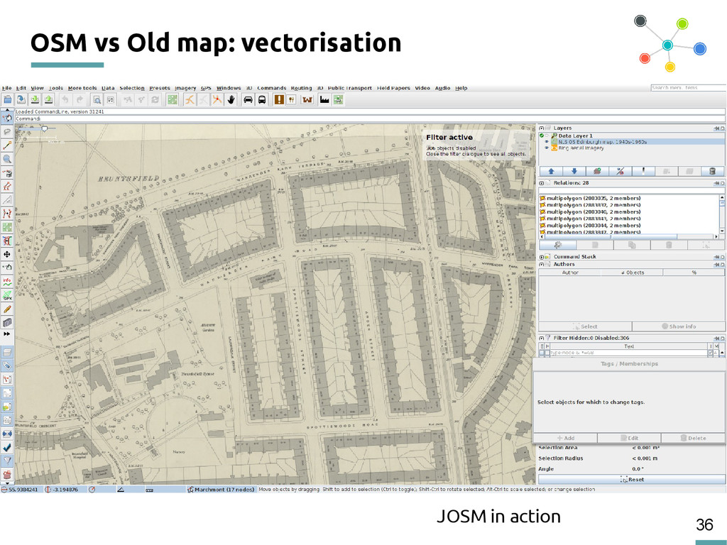
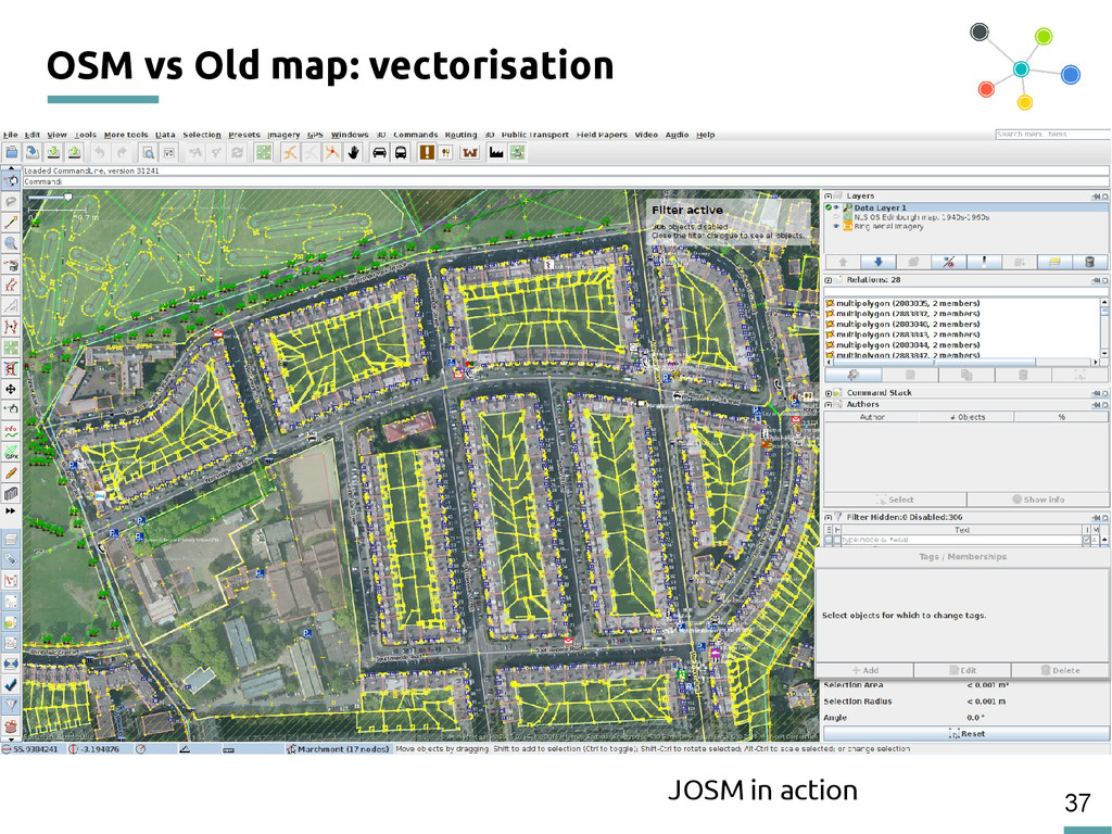
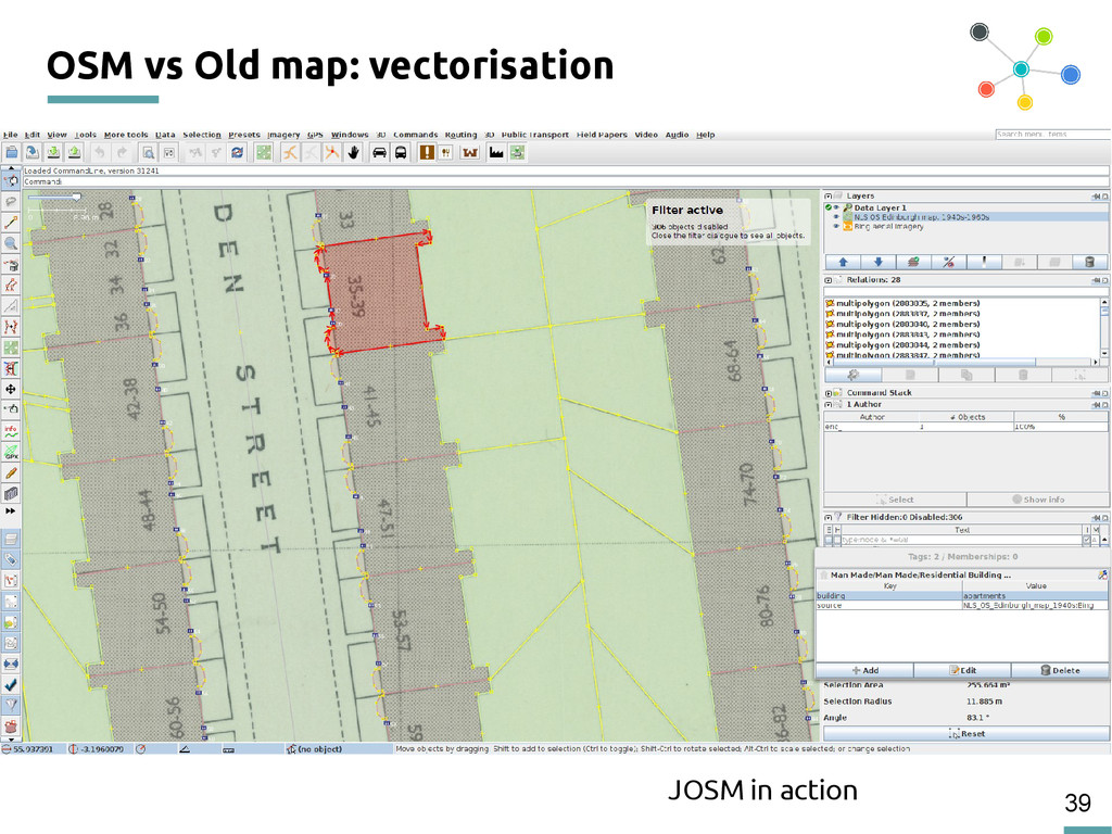
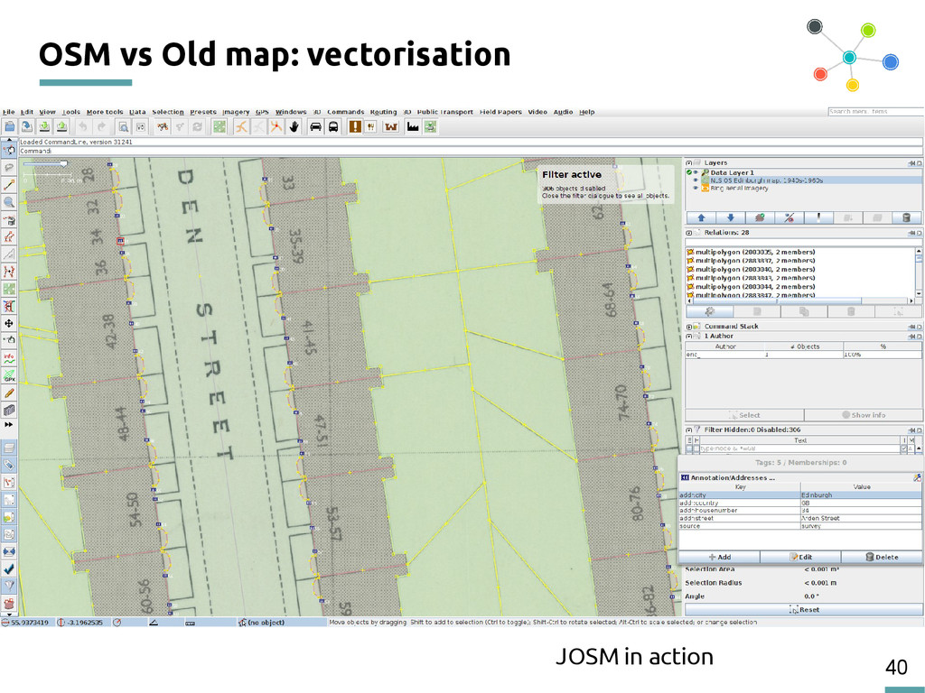
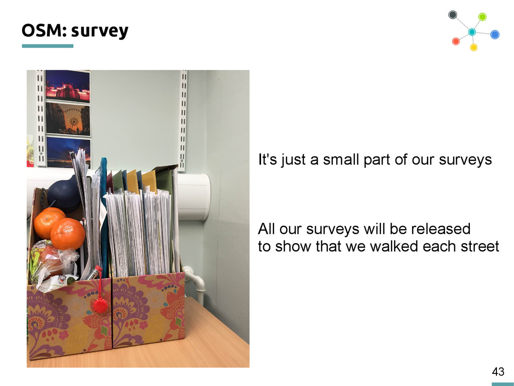
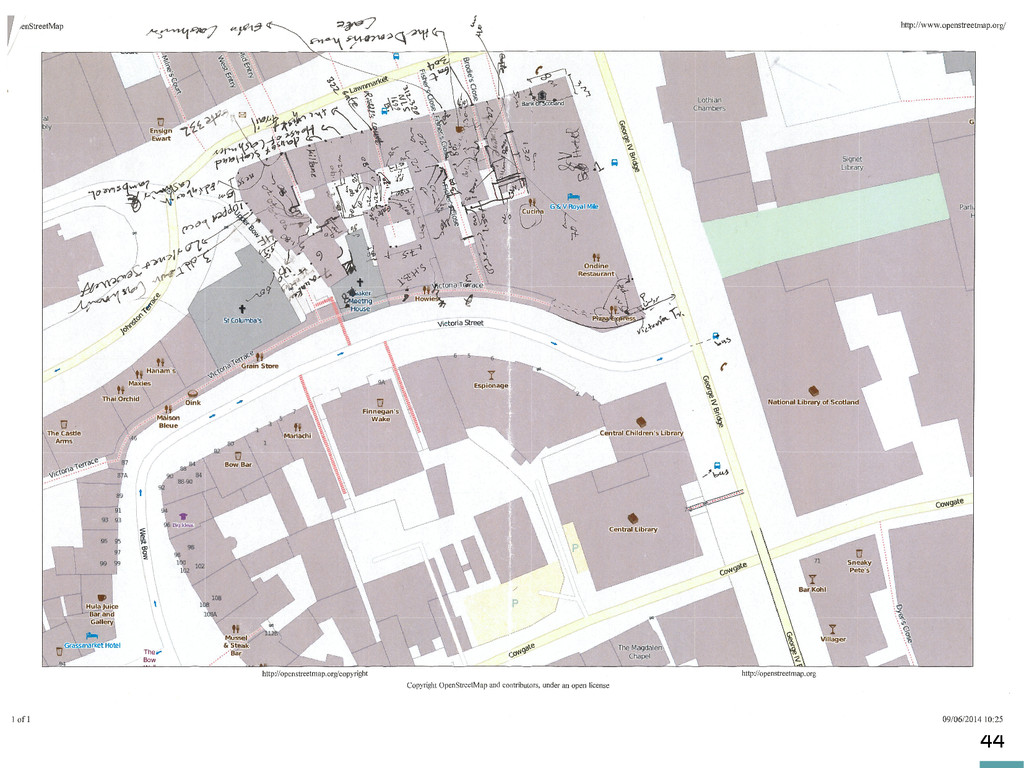
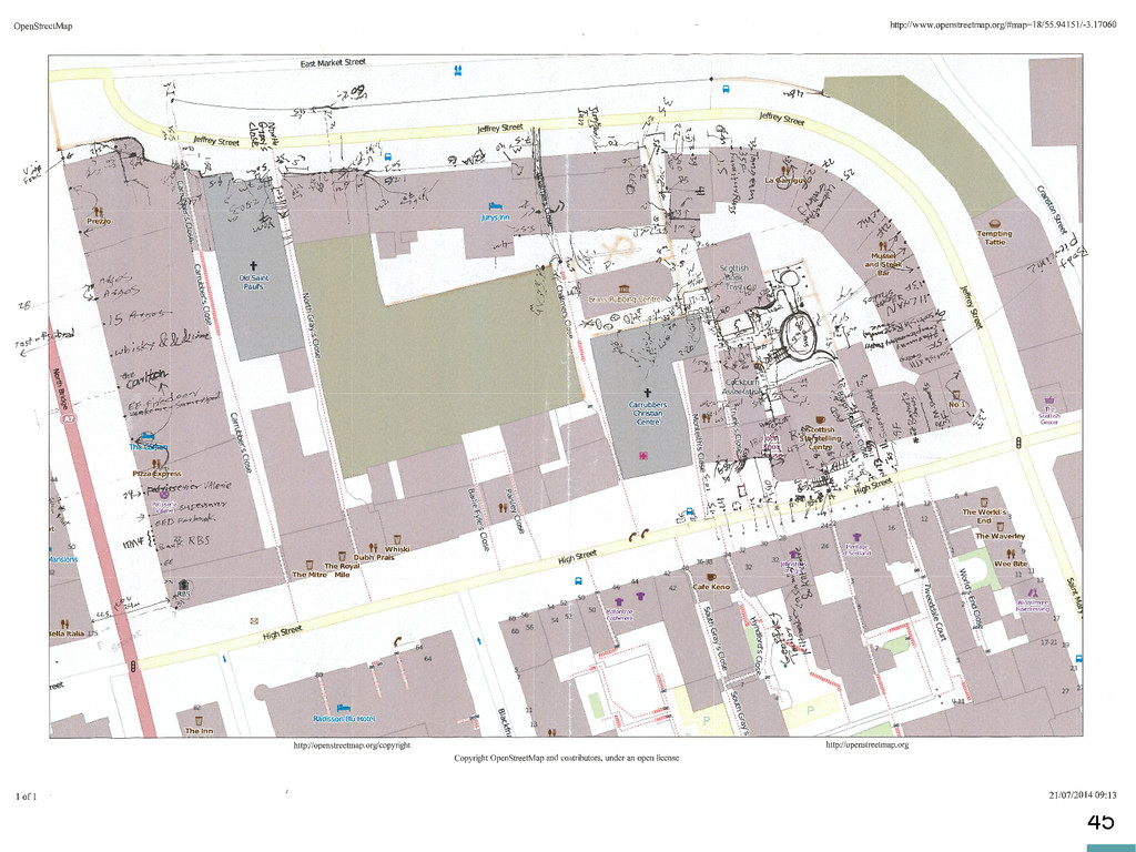
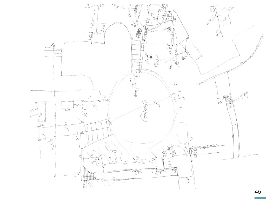
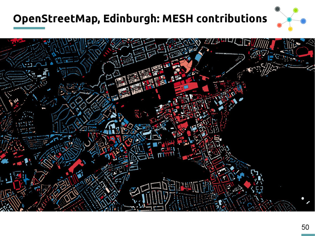
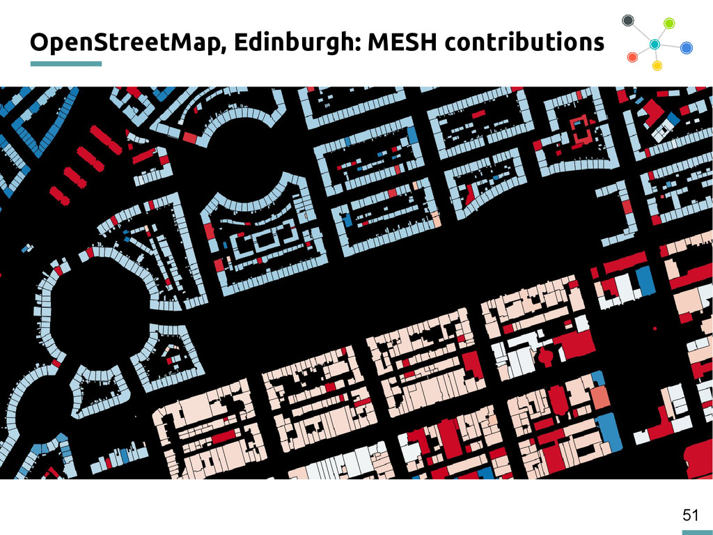
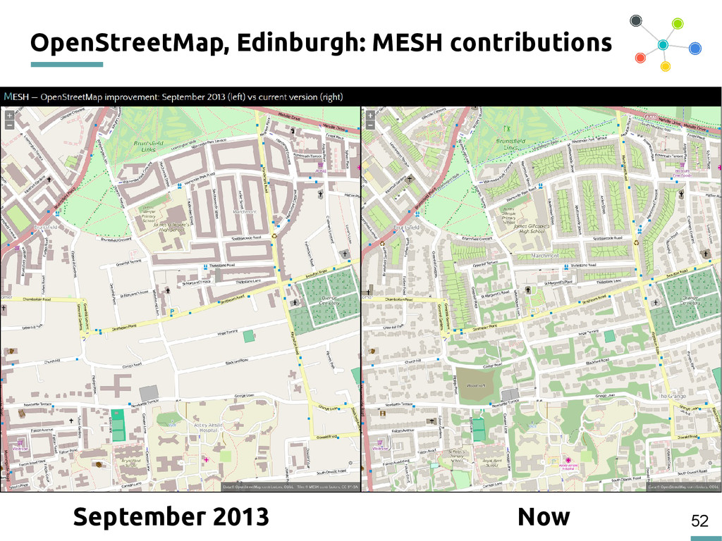
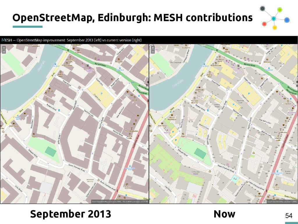
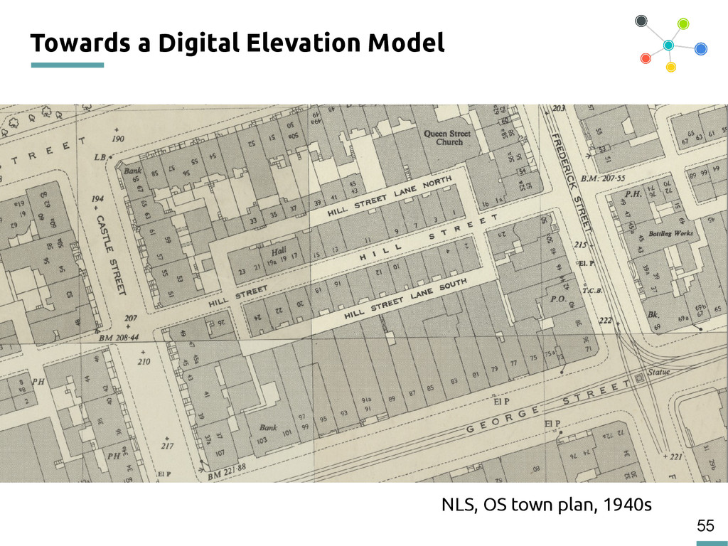
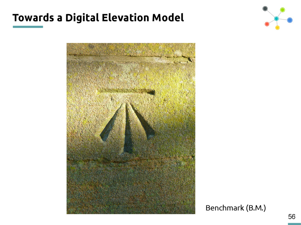
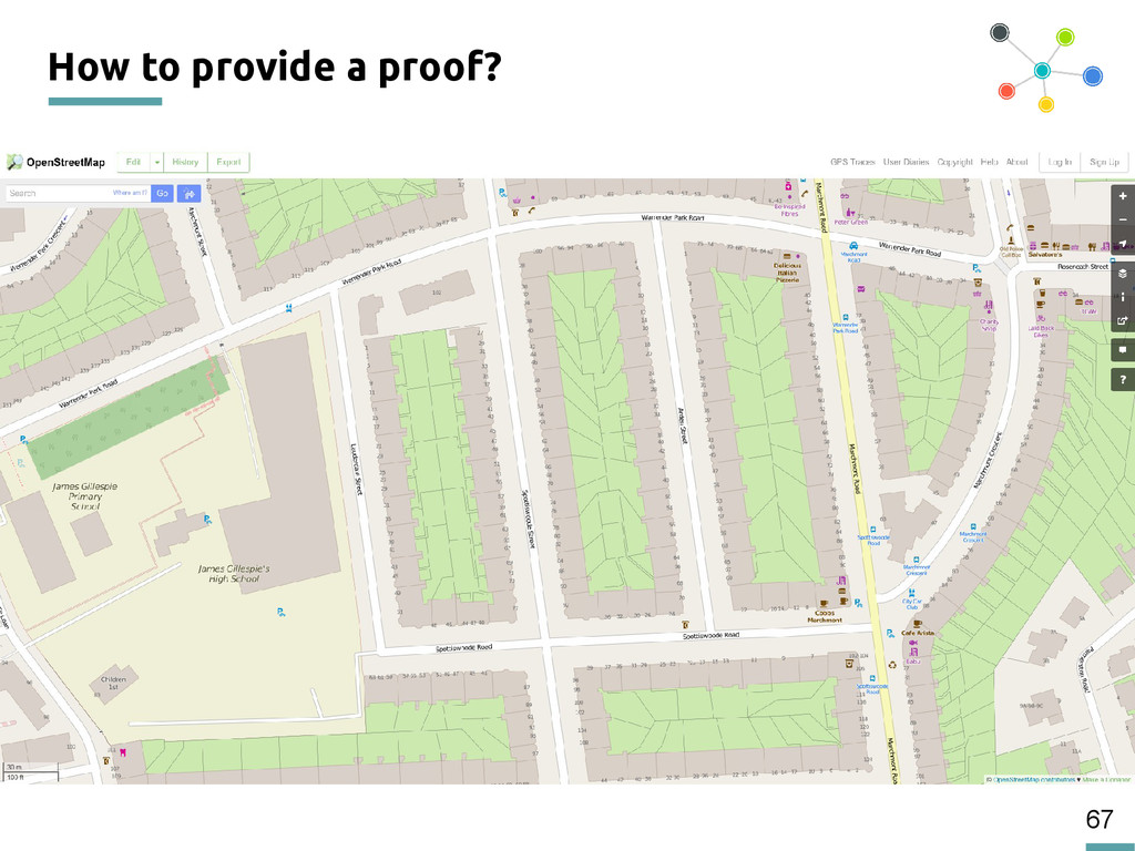
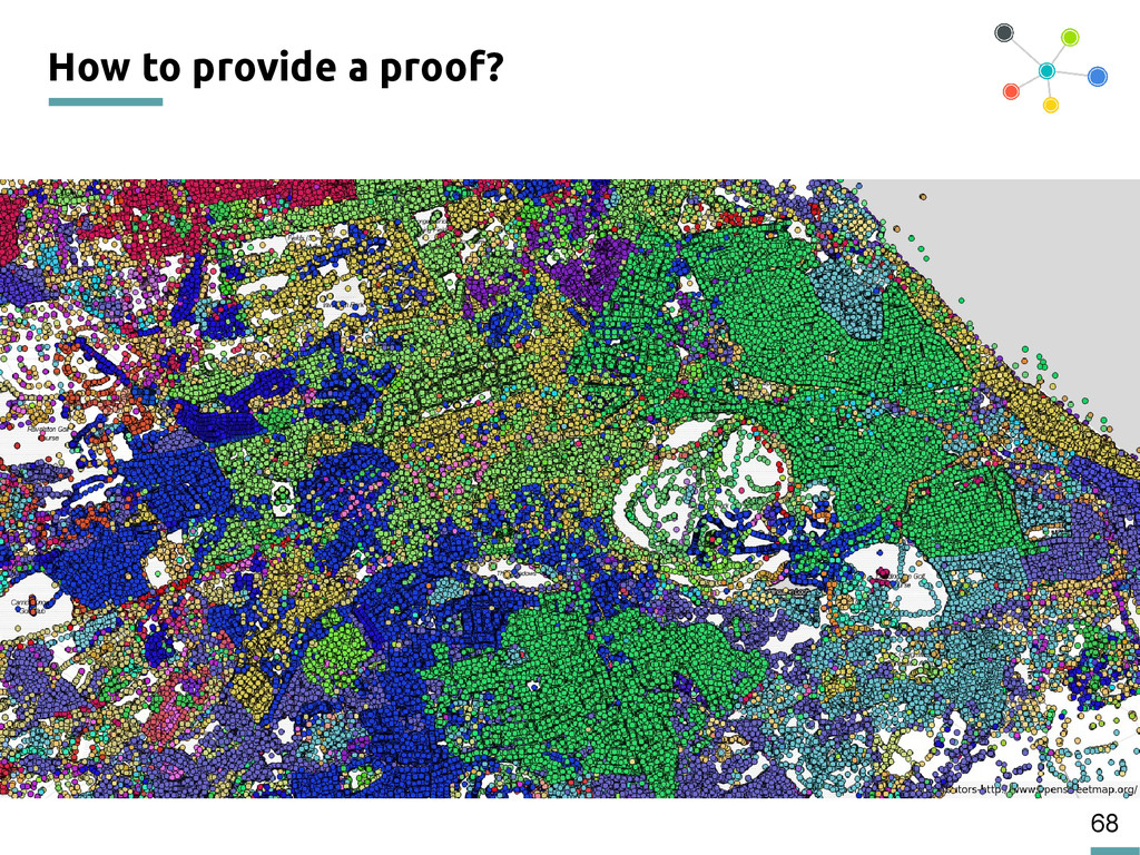
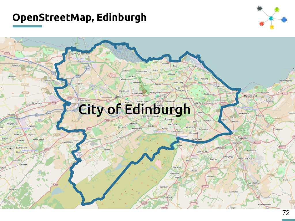
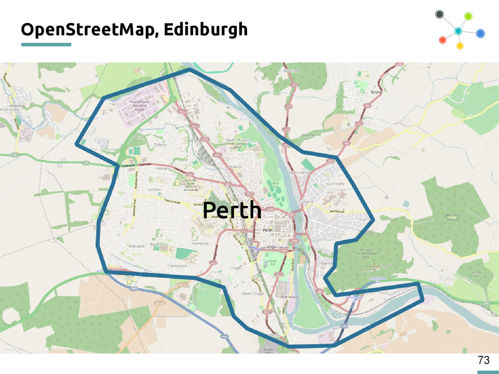
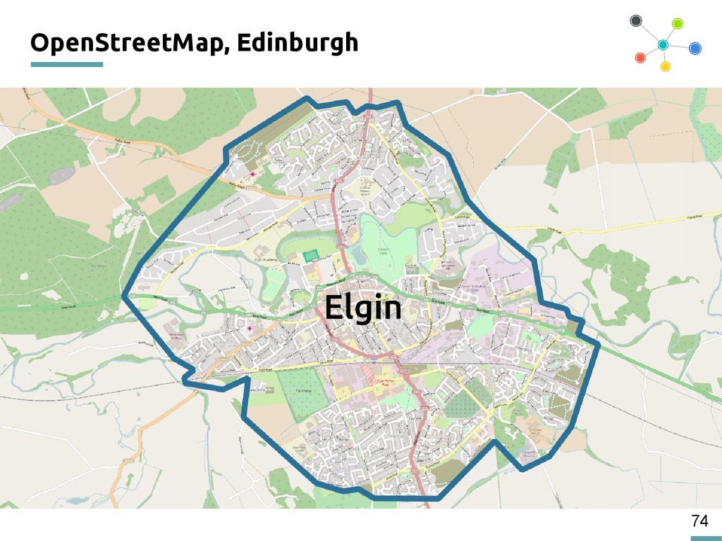
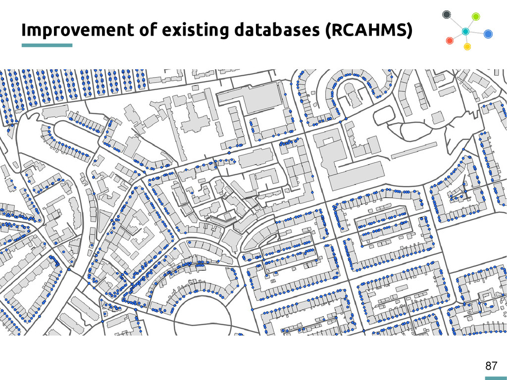
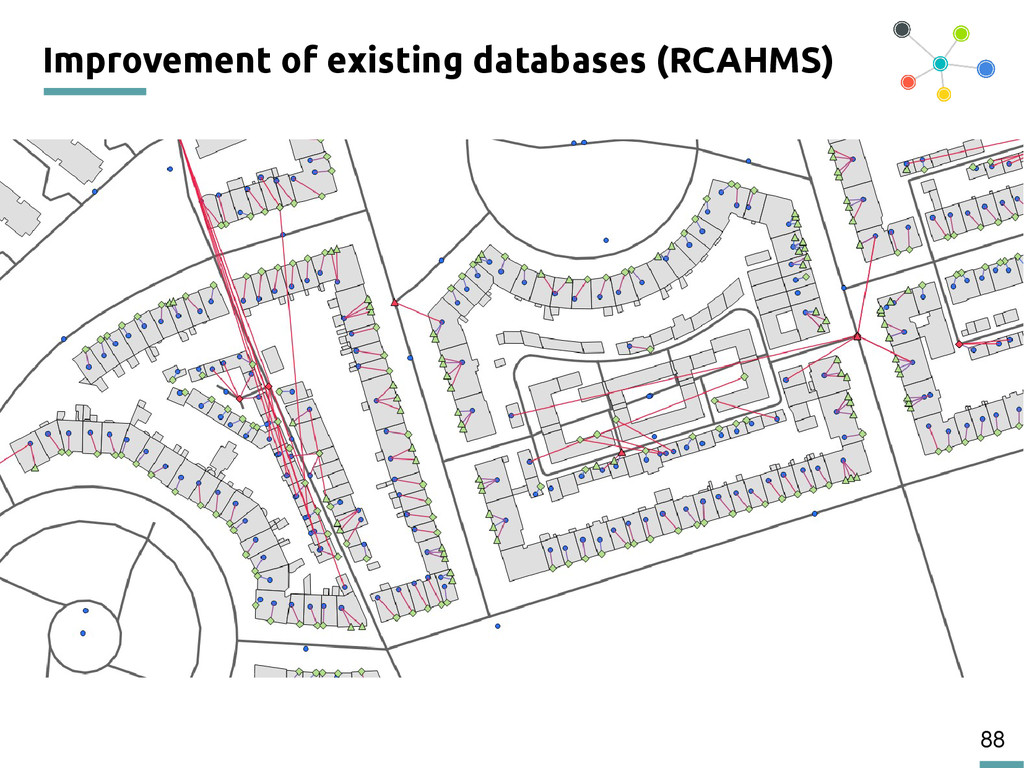
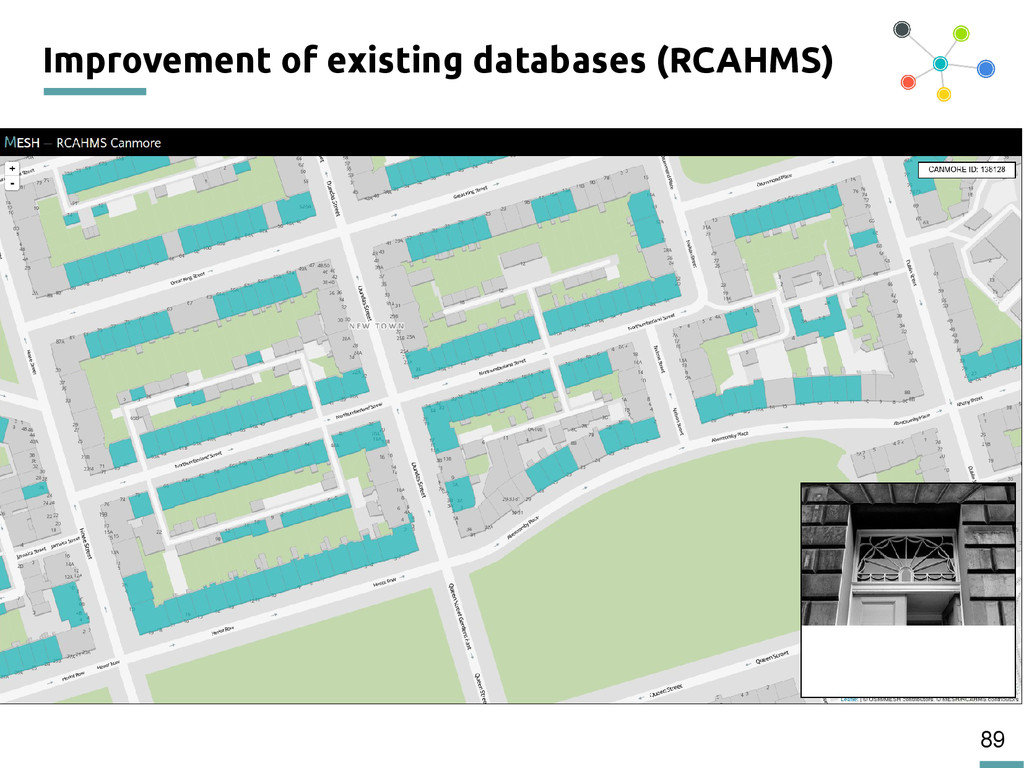
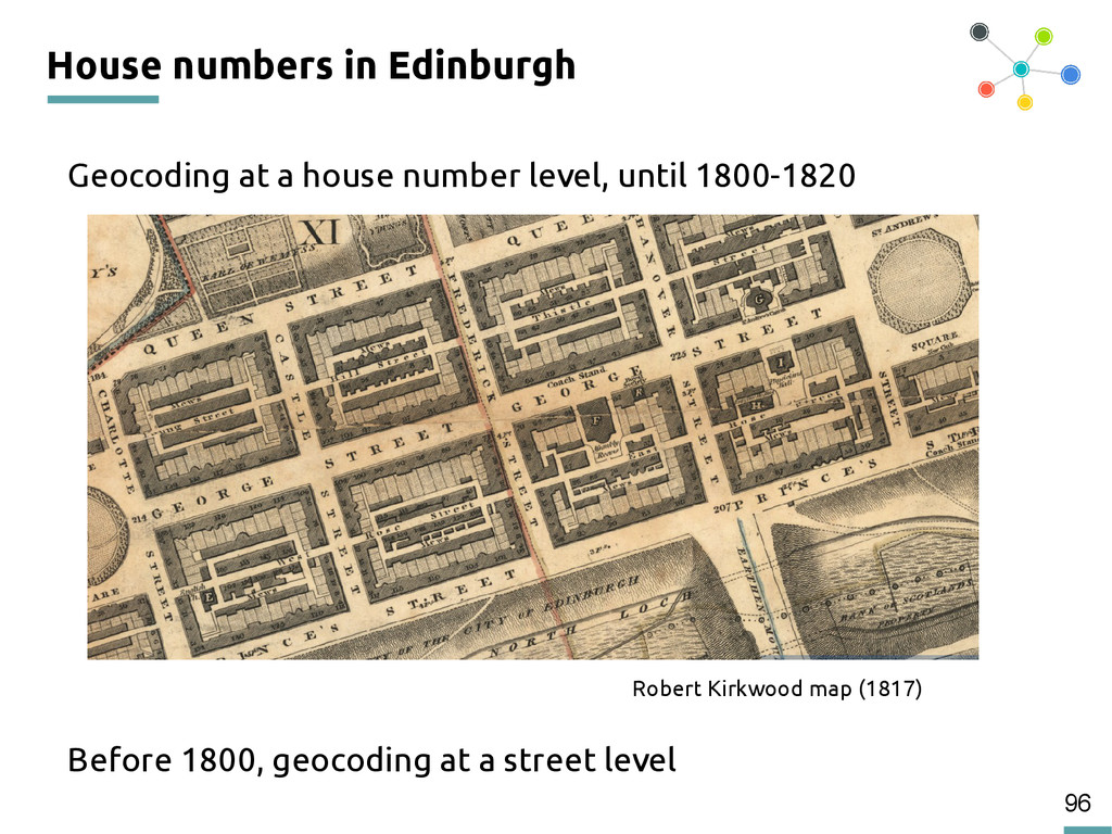
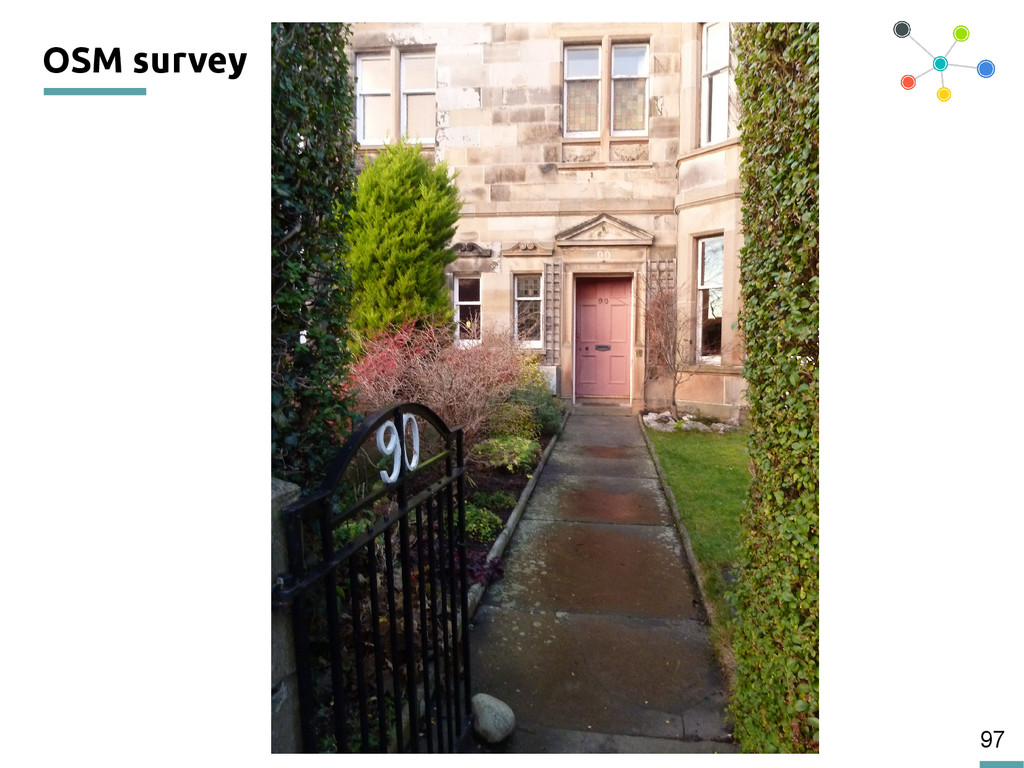
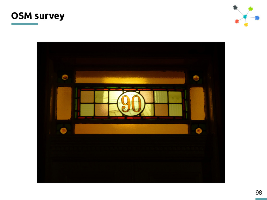
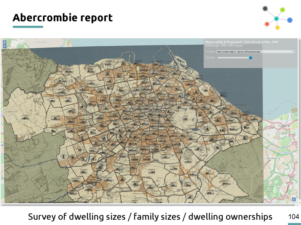
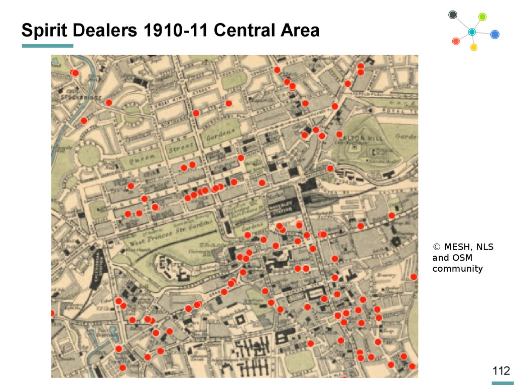
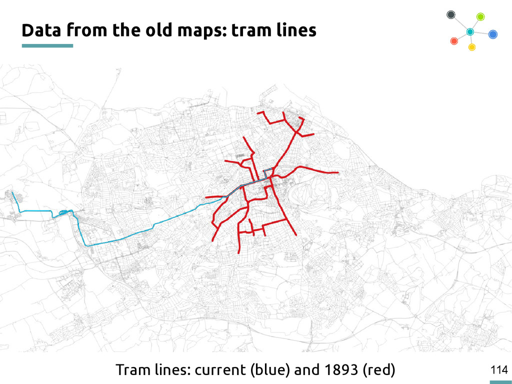
- how the team improved OSM in Edinburgh using historical maps (out-of-copyright town plans and Ordnance Survey maps provided by the National Library of Scotland) and intensive ground surveying,
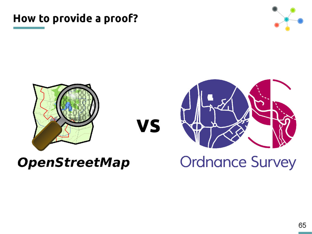
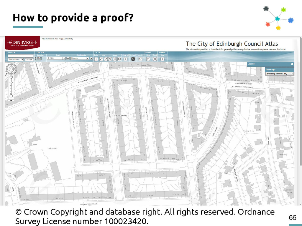
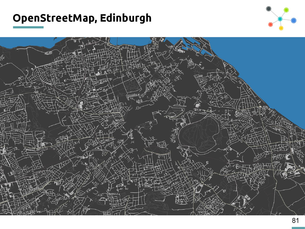
- the quality of the mapping including a comparison with current Ordnance Survey data,
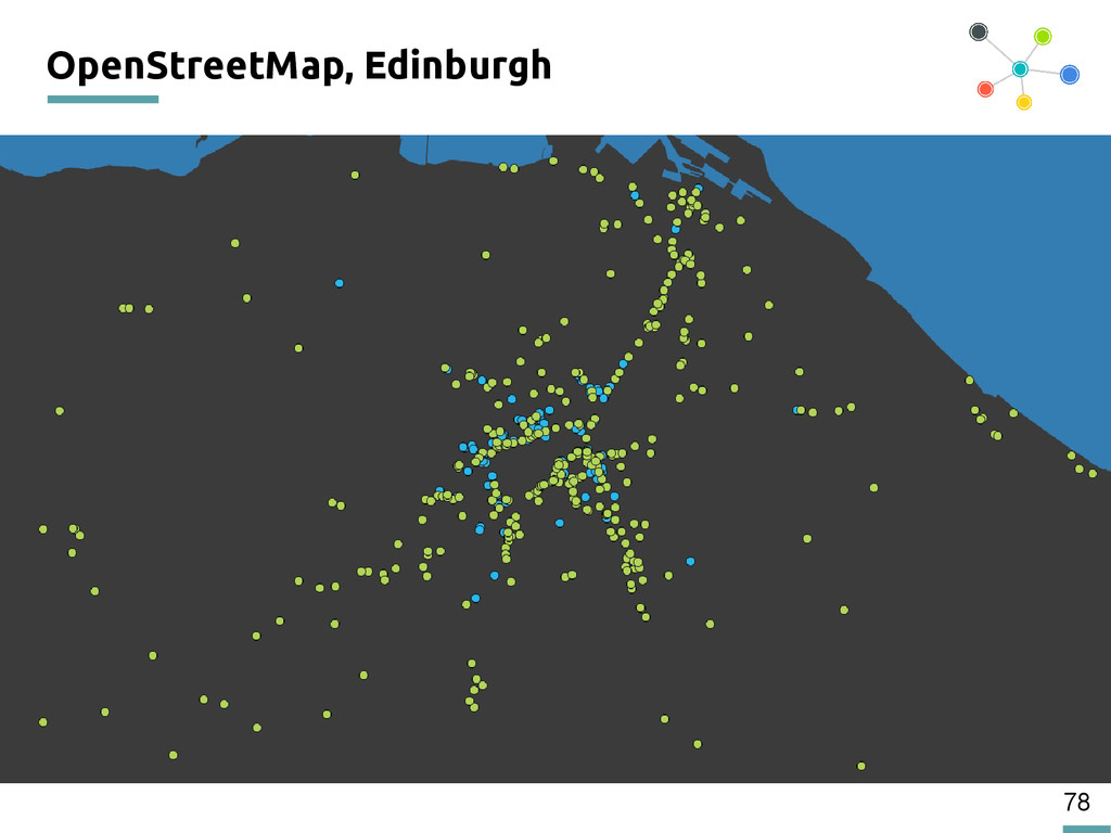
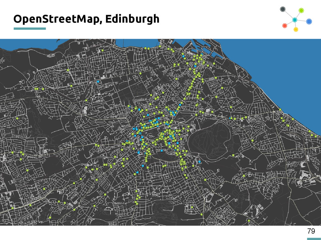
- how the team and historians start to use it (tools, results),
- how the work presented here can be reused by everyone including academics, public institutions and private companies.
More info about the project: http://www.mesh.ed.ac.uk/
![118 want to contact us? www.mesh.ed.ac.uk @mesh_ed [email protected] thank you](https://files.speakerdeck.com/presentations/b416dea3c7f54d0c9b8e49e4bd978601/slide_117.jpg)