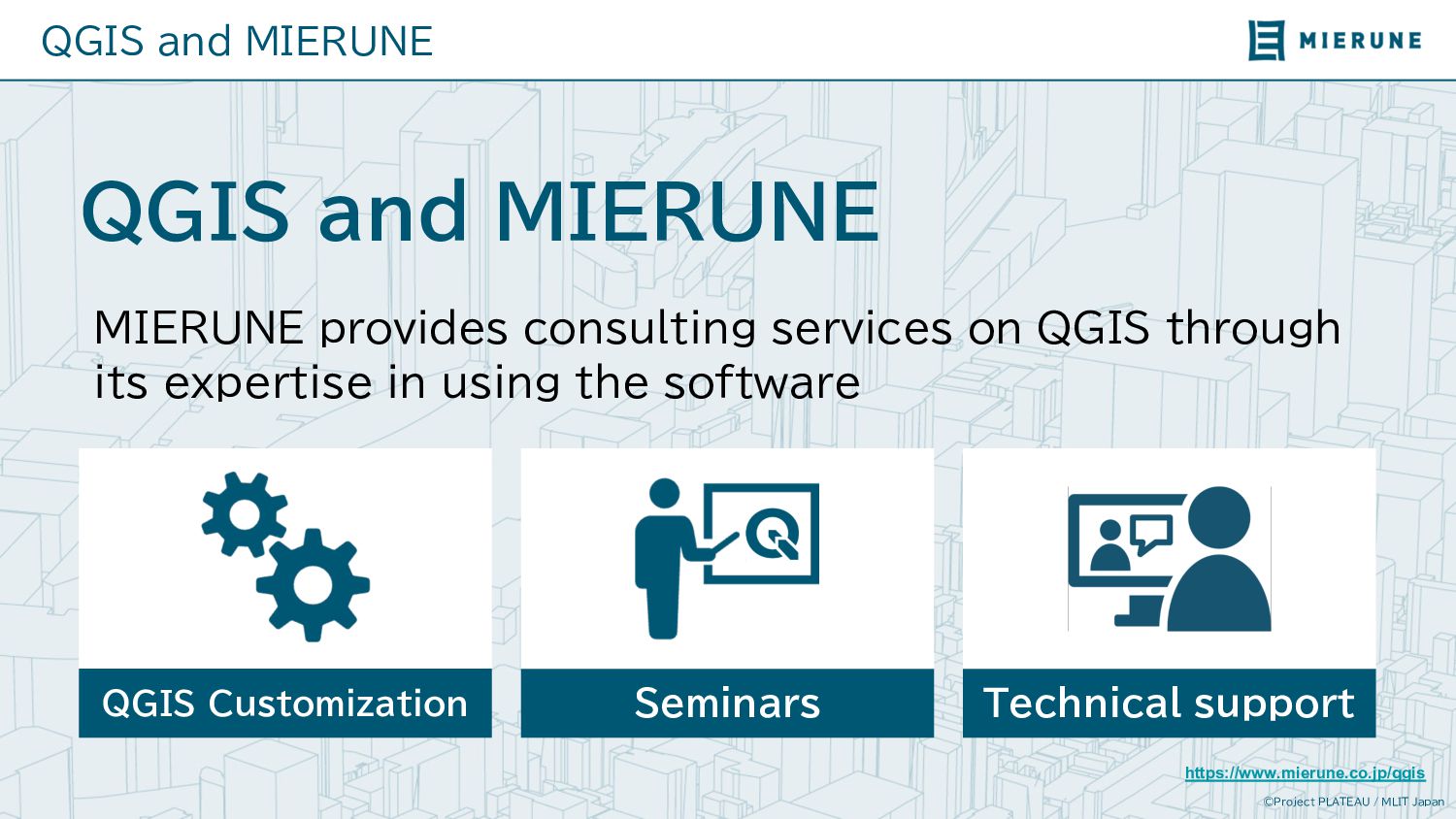
MIERUNE MIERUNE provides consulting services on QGIS through its expertise in using the software https://www.mierune.co.jp/qgis QGIS Customization Seminars Technical support
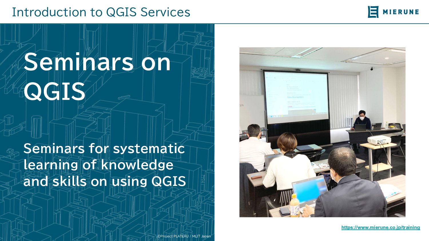
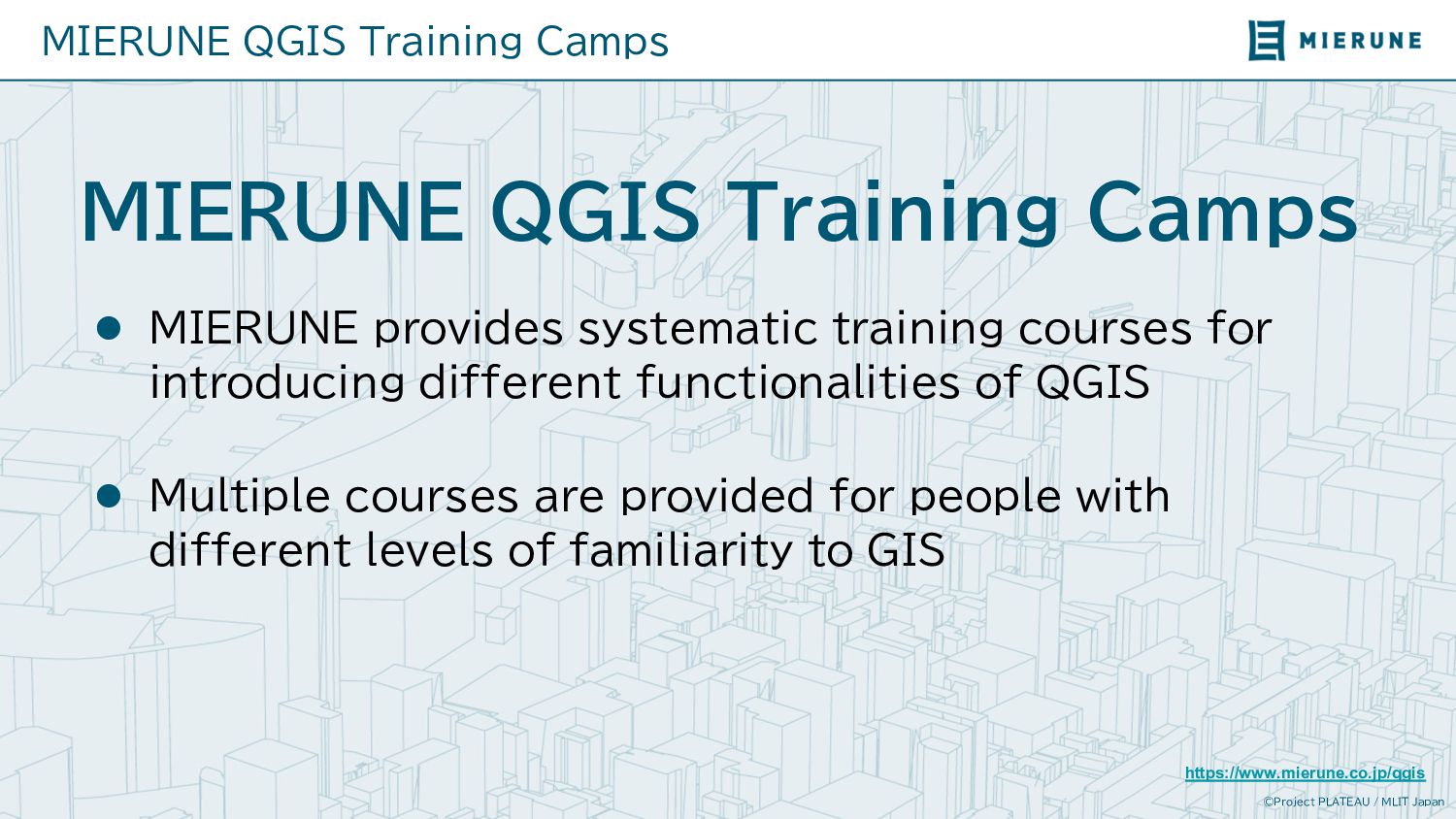
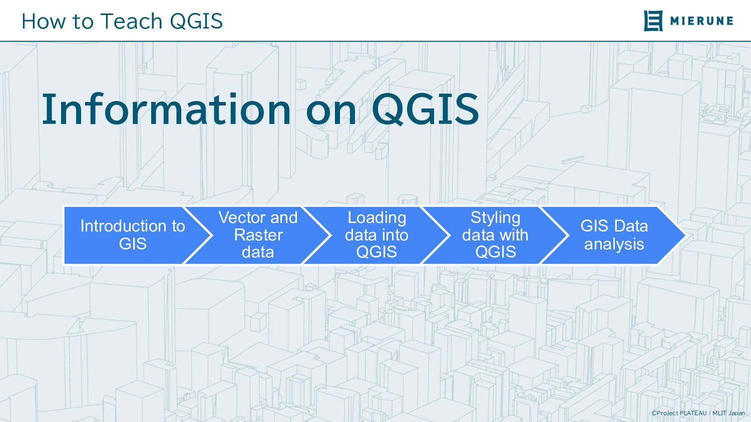
QGIS Training Camps l MIERUNE provides systematic training courses for introducing different functionalities of QGIS l Multiple courses are provided for people with different levels of familiarity to GIS https://www.mierune.co.jp/qgis
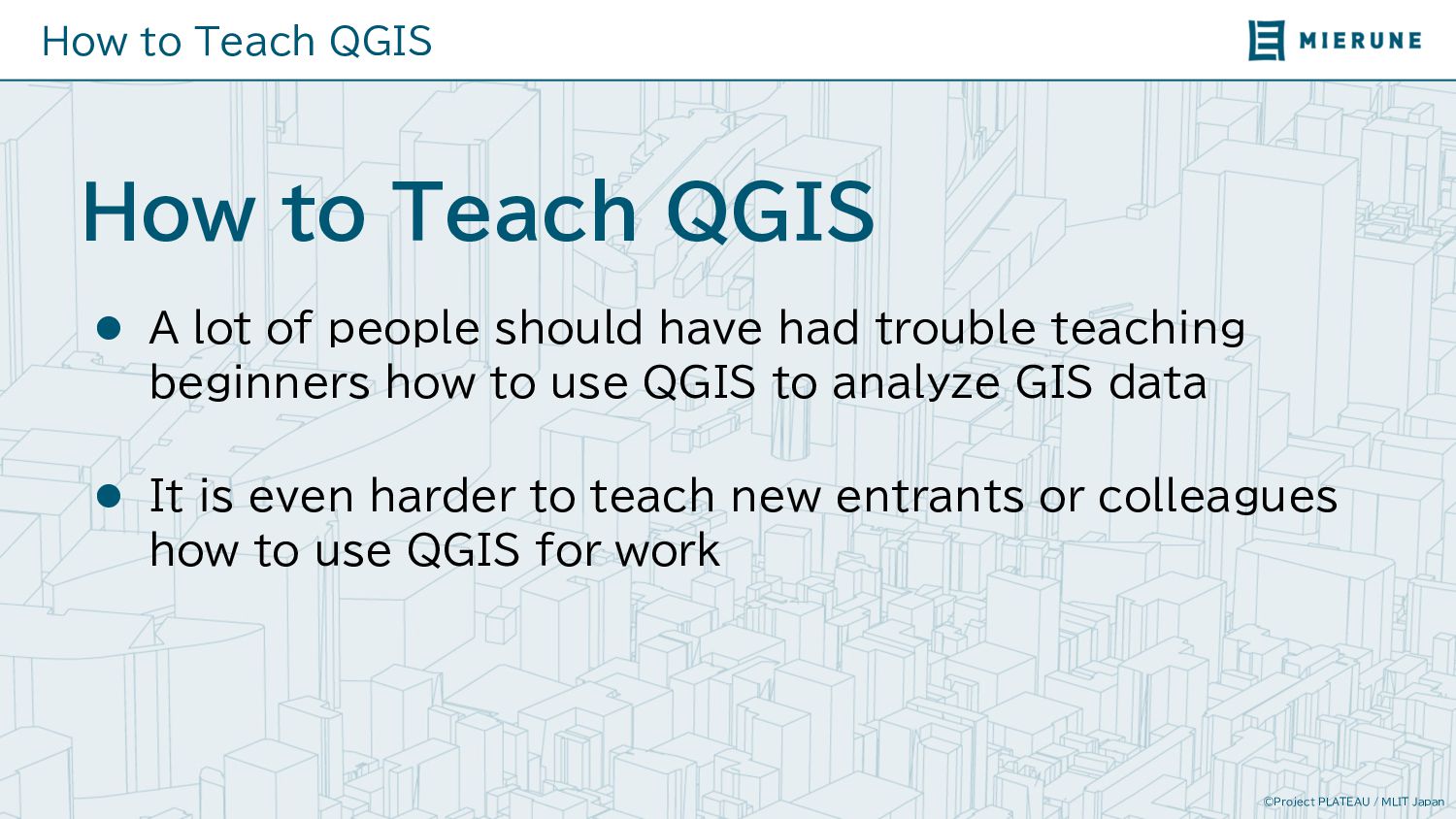
to Teach QGIS l A lot of people should have had trouble teaching beginners how to use QGIS to analyze GIS data l It is even harder to teach new entrants or colleagues how to use QGIS for work
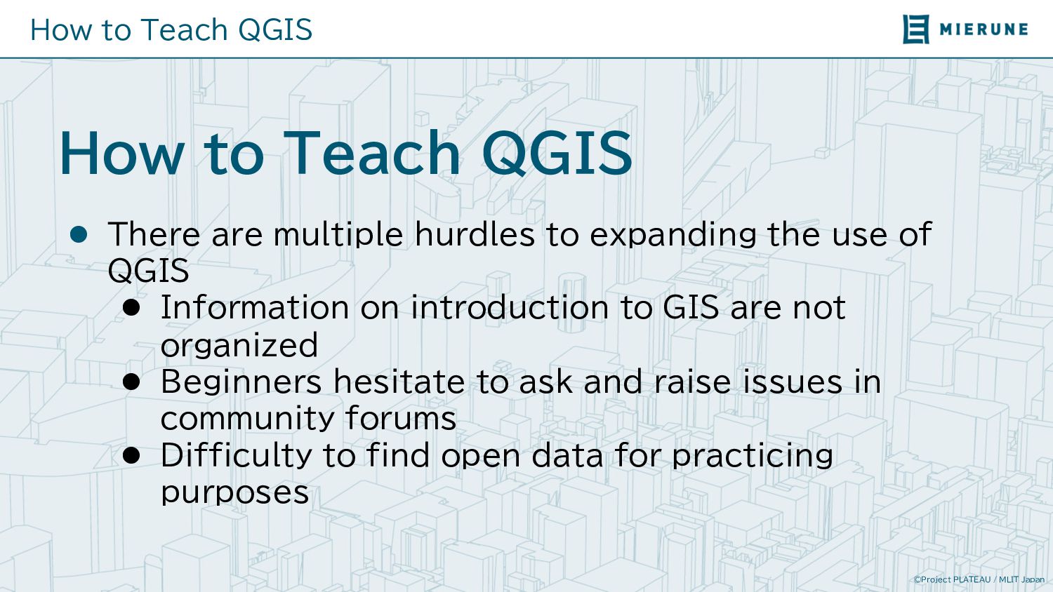
to Teach QGIS l There are multiple hurdles to expanding the use of QGIS l Information on introduction to GIS are not organized l Beginners hesitate to ask and raise issues in community forums l Difficulty to find open data for practicing purposes
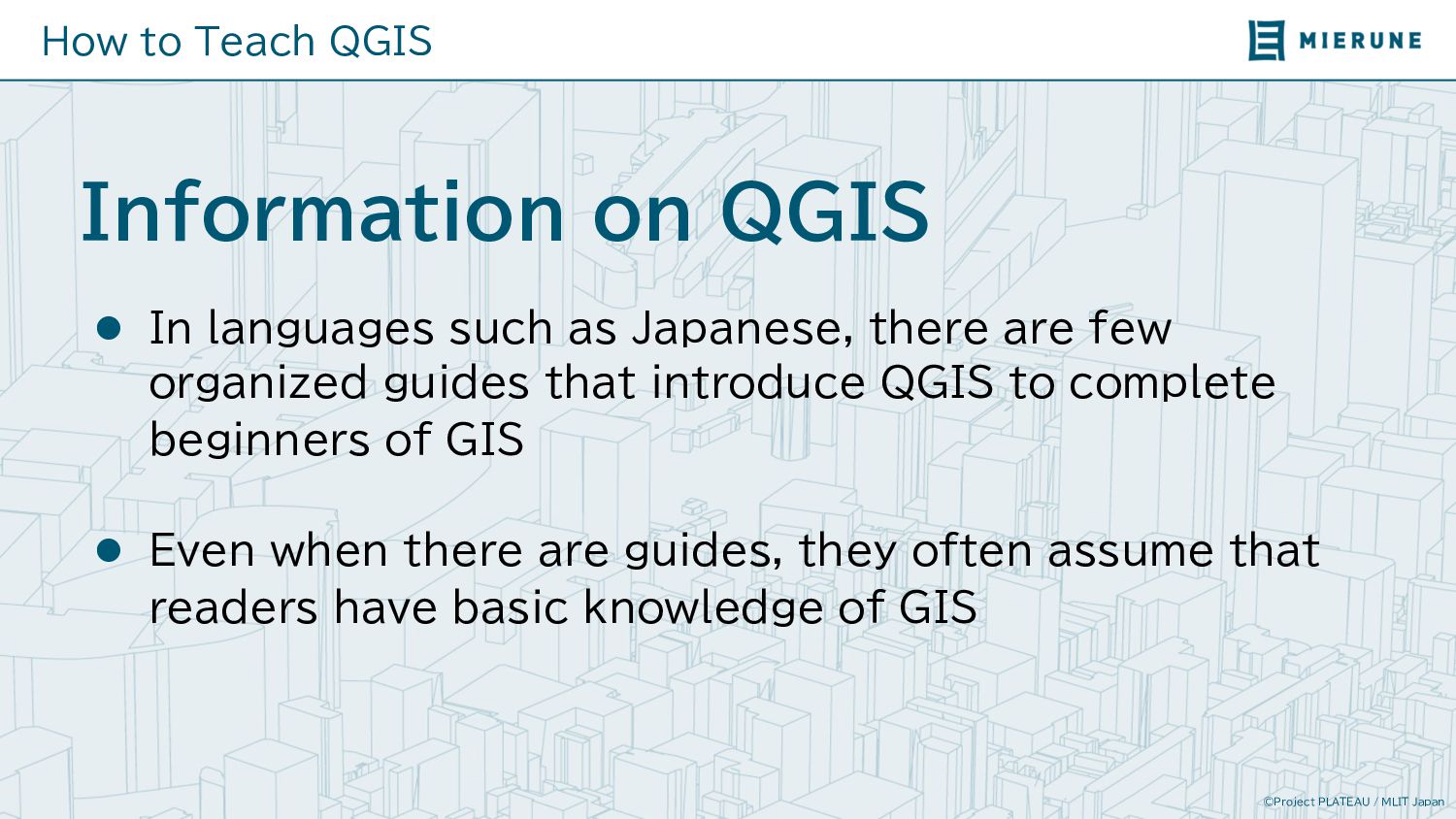
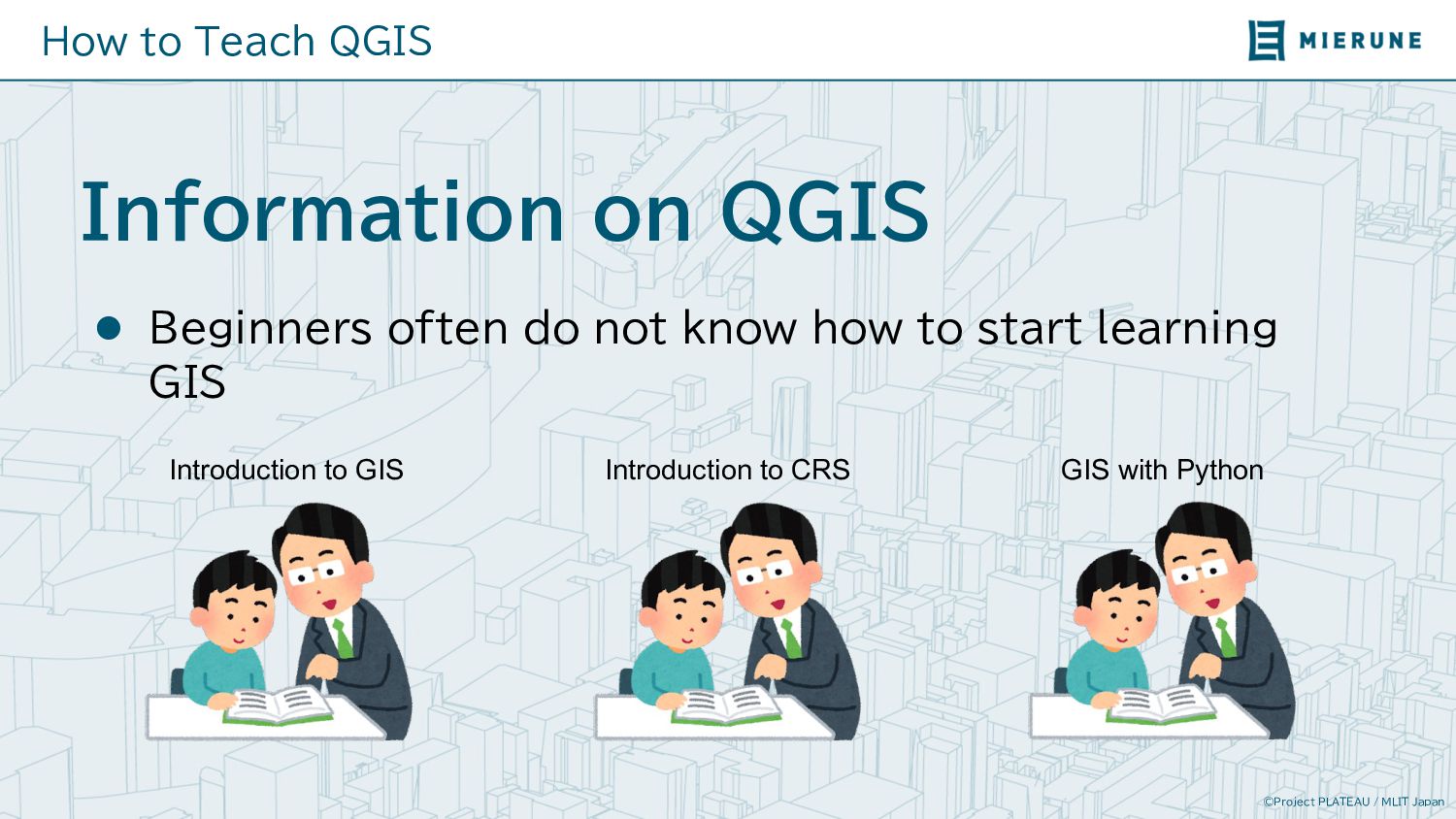
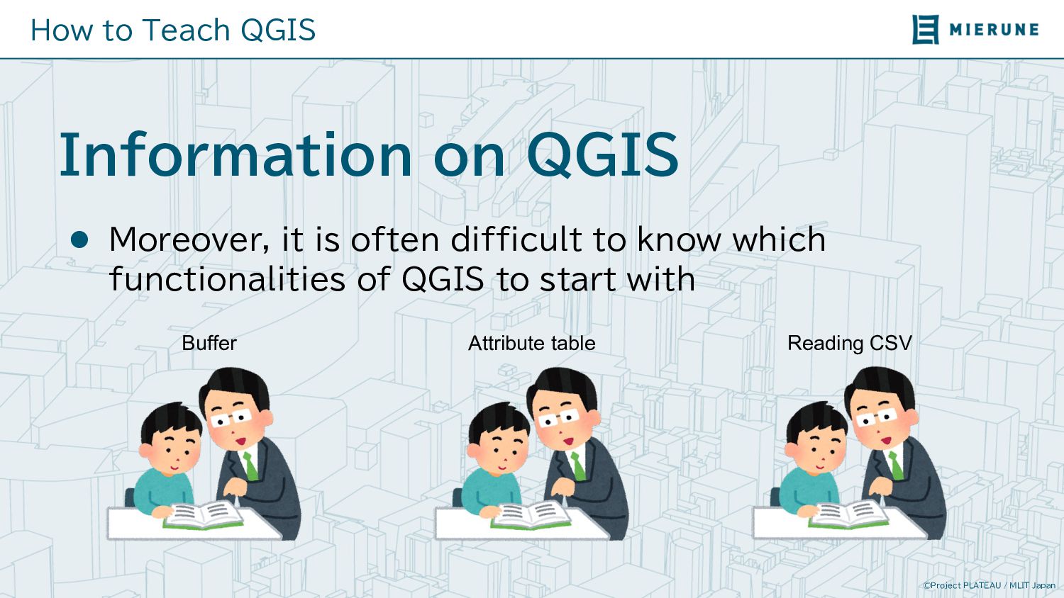
on QGIS l In languages such as Japanese, there are few organized guides that introduce QGIS to complete beginners of GIS l Even when there are guides, they often assume that readers have basic knowledge of GIS
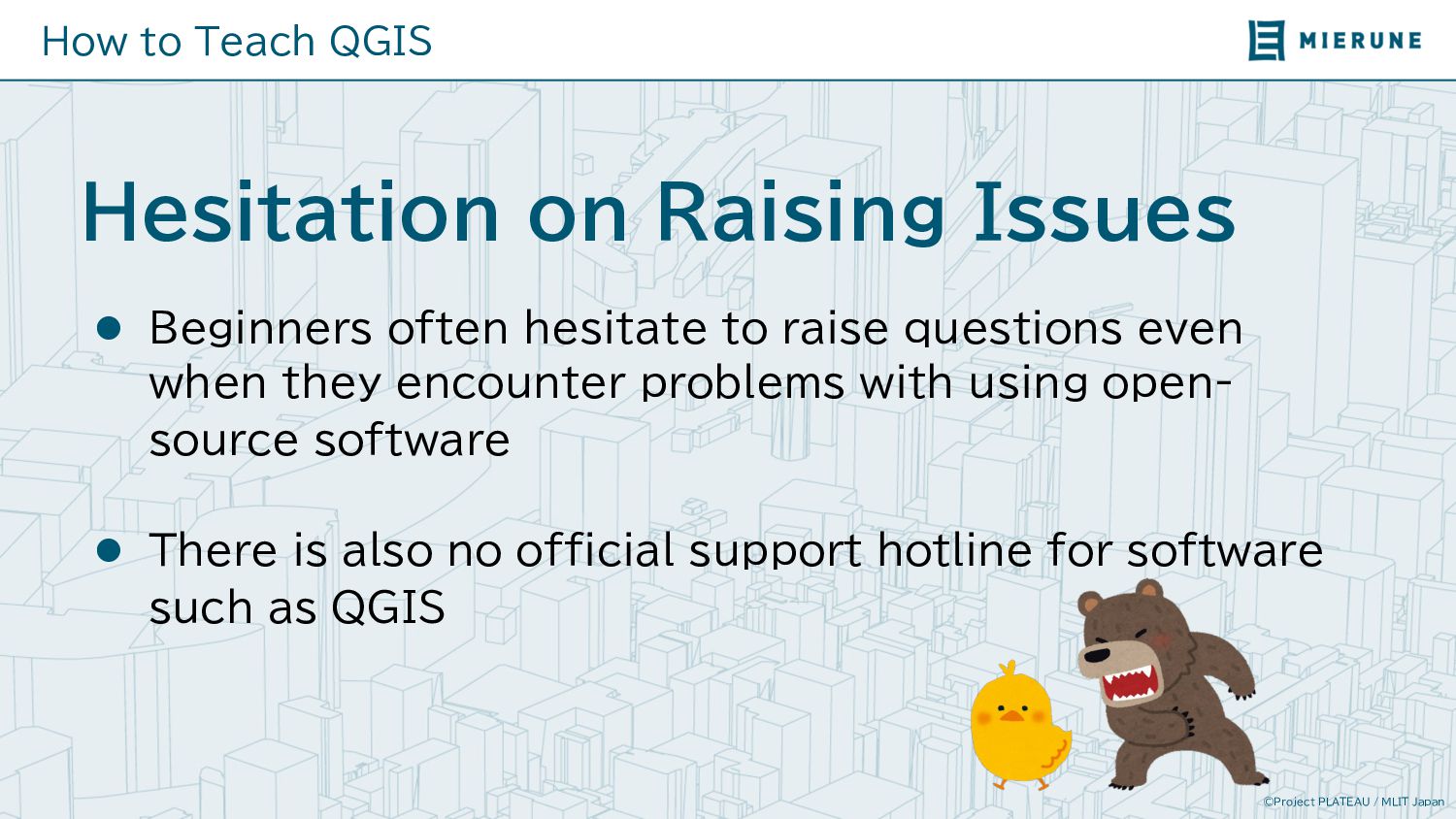
on Raising Issues l Beginners often hesitate to raise questions even when they encounter problems with using open- source software l There is also no official support hotline for software such as QGIS
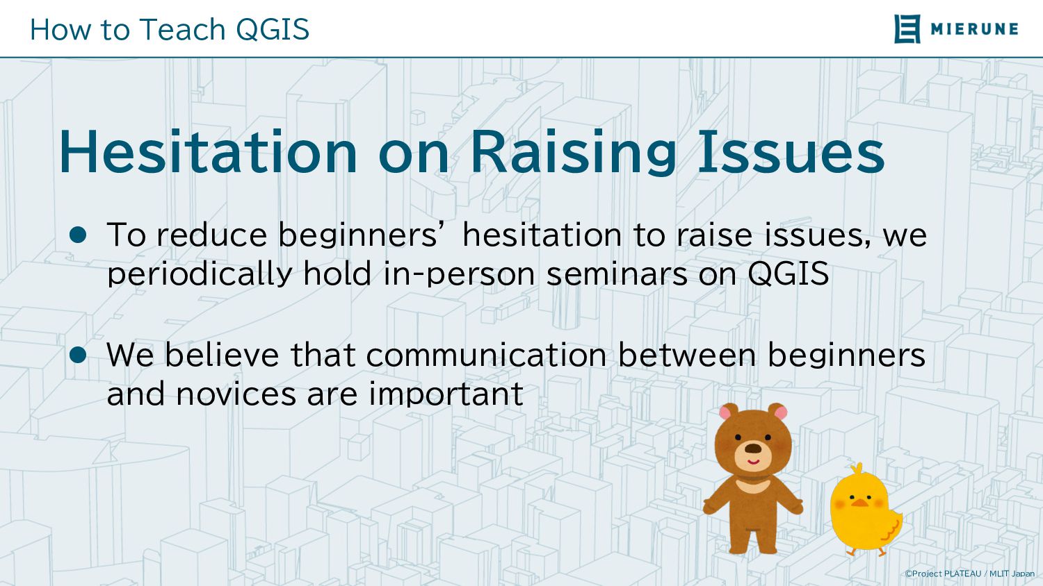
on Raising Issues l To reduce beginners’ hesitation to raise issues, we periodically hold in-person seminars on QGIS l We believe that communication between beginners and novices are important
on Raising Issues l In online seminars and sections, we encourage questions l By providing seminars to participants with similar backgrounds, we make raising questions and answers easier
on Finding Open Data l Even when someone would like to learn about using QGIS, it is often difficult to find appropriate open data l When data is found, there often issues that prevent beginners from using such data
on Finding Open Data l To allow participants to fully utilize QGIS after attending the seminars, we provide participants with a list of open data providers l We also practically demonstrate how to download and use open data with QGIS
to Teach QGIS l Let’s raise the next generation of GIS technicians through l Systematic tutorials for people with different levels of understanding l Friendly and knowledgeable source for inquiries l Tutorials using practical data