Upgrade to Pro
— share decks privately, control downloads, hide ads and more …
Speaker Deck
Features
Speaker Deck
PRO
Sign in
Sign up for free
Search
Search
Worldwide Terrain and Cloud Infrastructure: an ...
Search
Seth Fitzsimmons
March 11, 2015
Technology
330
0
Share
Embed
Copy iframe code
Copy JS code
Copy link
Start on current slide
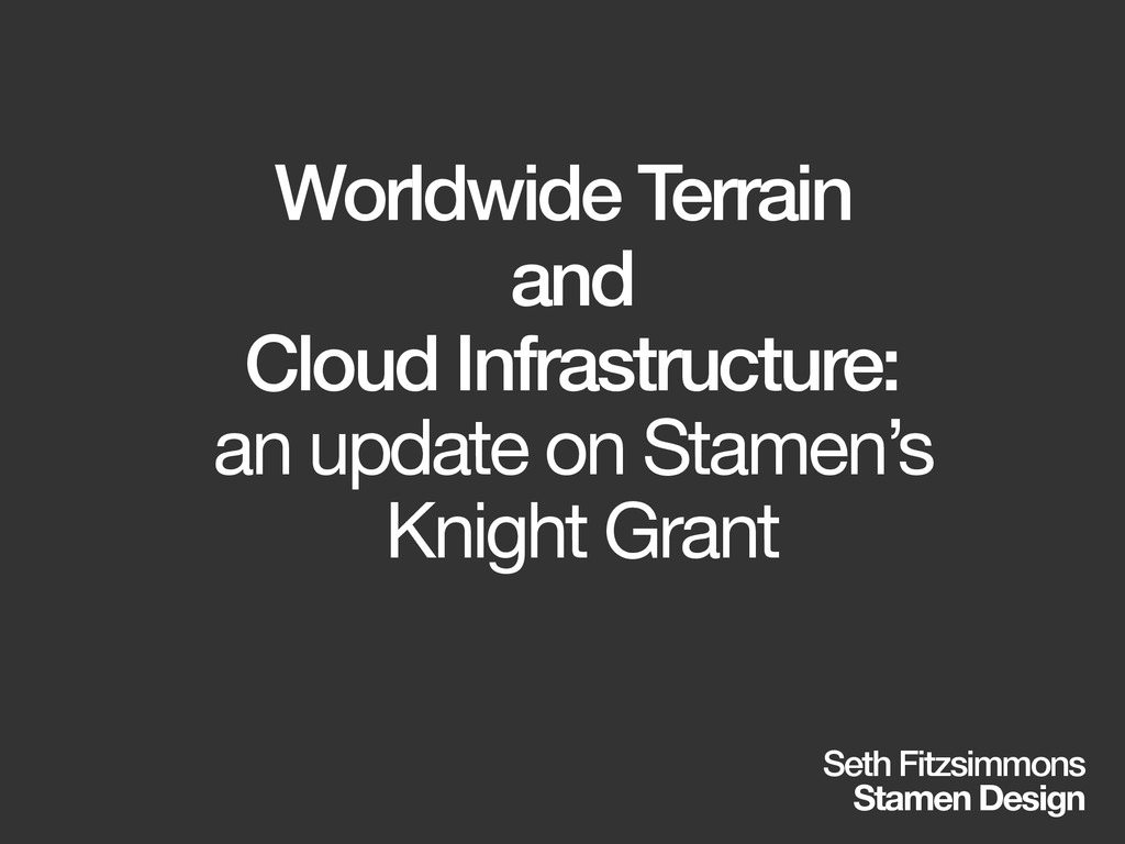
Worldwide Terrain and Cloud Infrastructure: an update on Stamen's Knight Grant
Seth Fitzsimmons
March 11, 2015
More Decks by Seth Fitzsimmons
See All by Seth Fitzsimmons
Working with OpenStreetMap using Apache Spark and GeoTrellis - SotMUS 2018
mojodna
0
350
OpenMapKit + POSM
mojodna
0
2.1k
NACIS 2016 - Practical Cartography Day
mojodna
1
630
Portable OpenStreetMap at SotM US 2016
mojodna
0
210
Print Cartography in a Multi-Resolution World
mojodna
4
830
How can open data save the world? How can we help?
mojodna
1
150
Trail Assist
mojodna
0
190
Running Your Own Rendering Infrastructure (FOSS4G 2014 Edition)
mojodna
0
280
What We've Made Together
mojodna
0
210
Other Decks in Technology
See All in Technology
テックカンファレンス三大ステークホルダーの文化人類学 ─ 違いを認め合う関係性作り
bash0c7
1
170
OPENLOGI Company Profile for engineer
hr01
1
74k
AI工学特論: MLOps・継続的評価
asei
5
1.2k
41歳でAWSが好きすぎてITエンジニアになったおっさんの話
yama3133
1
740
kaonavi Tech Night#1
kaonavi
0
160
それでも、技術なブログを書く理由 #kichijojipm / Why I Still Write Tech Blogs Even Now
shinkufencer
0
410
大量データに対しても、生成AIを用いてリーズナブルにデータ加工をしたい!Databricksのai_queryについて調べてみた
kamoshika
1
280
大 AI 時代におけるC# の事情 ~ぶっちゃけトークを交えながら~
nenonaninu
0
120
壊して学ぶAWS CDK: そのcdk deployで消えるもの、残るもの
k_adachi_01
1
480
GoでCコンパイラを作った話
repunit
0
150
AIコード生成×サプライチェーン攻撃 — PHPが直面する“二重の信頼問題
shinyasaita
0
450
探索・可視化・自動化を一本化 Amazon Quickでデータ活用スピードを上げる方法
koheiyoshikawa
0
170
Featured
See All Featured
CSS Pre-Processors: Stylus, Less & Sass
bermonpainter
360
30k
First, design no harm
axbom
PRO
2
1.2k
Future Trends and Review - Lecture 12 - Web Technologies (1019888BNR)
signer
PRO
0
3.6k
The untapped power of vector embeddings
frankvandijk
2
1.8k
We Analyzed 250 Million AI Search Results: Here's What I Found
joshbly
1
1.6k
Noah Learner - AI + Me: how we built a GSC Bulk Export data pipeline
techseoconnect
PRO
0
330
ReactJS: Keep Simple. Everything can be a component!
pedronauck
666
130k
Raft: Consensus for Rubyists
vanstee
141
7.6k
No one is an island. Learnings from fostering a developers community.
thoeni
21
3.8k
RailsConf 2023
tenderlove
30
1.5k
How to Ace a Technical Interview
jacobian
281
24k
Fashionably flexible responsive web design (full day workshop)
malarkey
408
67k
Transcript
Worldwide Terrain and Cloud Infrastructure: an update on Stamen’s Knight
Grant Seth Fitzsimmons Stamen Design
[intro]
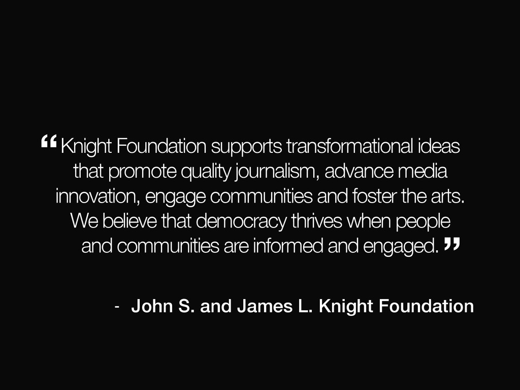
what is the Knight Foundation?
Knight Foundation supports transformational ideas that promote quality journalism, advance
media innovation, engage communities and foster the arts. We believe that democracy thrives when people and communities are informed and engaged. “ ” - John S. and James L. Knight Foundation
what is Stamen?
None
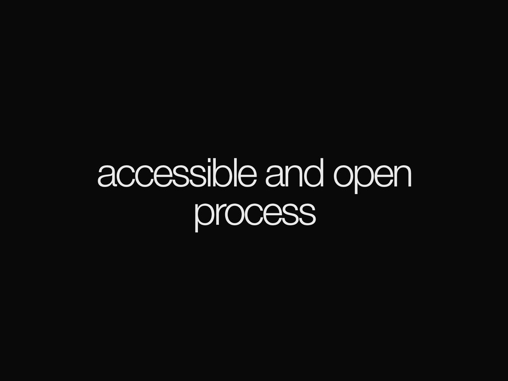
grant goals
cloud-based infrastructure
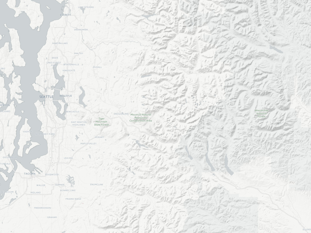
worldwide terrain
accessible and open process
(hi)
[background]
previously…
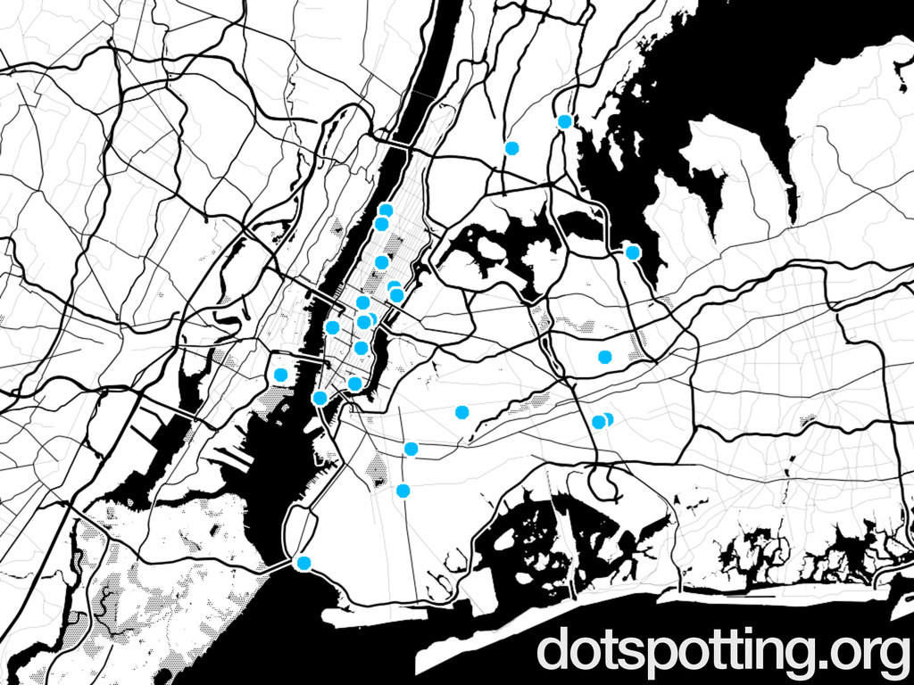
dotspotting.org
toner
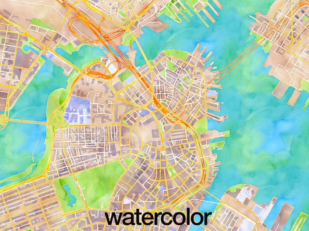
watercolor
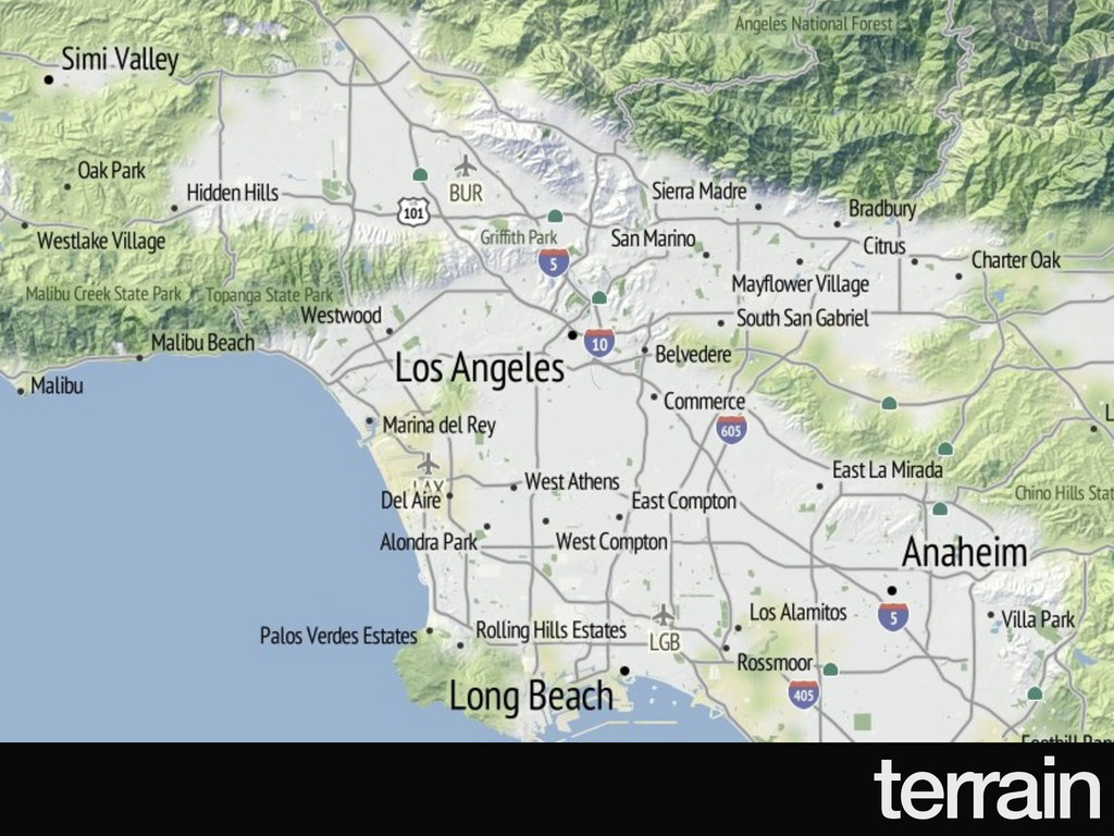
terrain
no pressure.
meanwhile…
6/2011: launch
3/2012: watercolor
12/2013: 240m tiles
12/2014: 960m tiles
Mapbox
_aaS
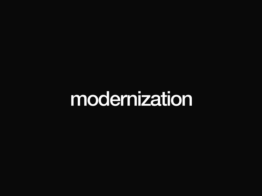
modernization
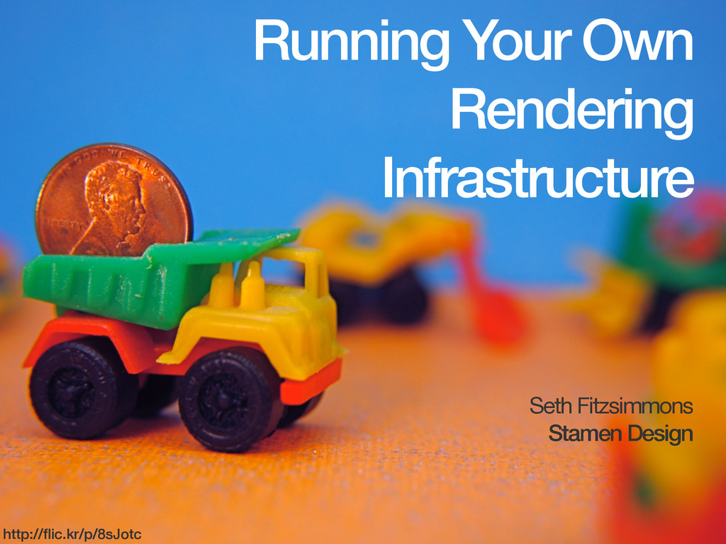
Running Your Own Rendering Infrastructure Seth Fitzsimmons Stamen Design http://flic.kr/p/8sJotc
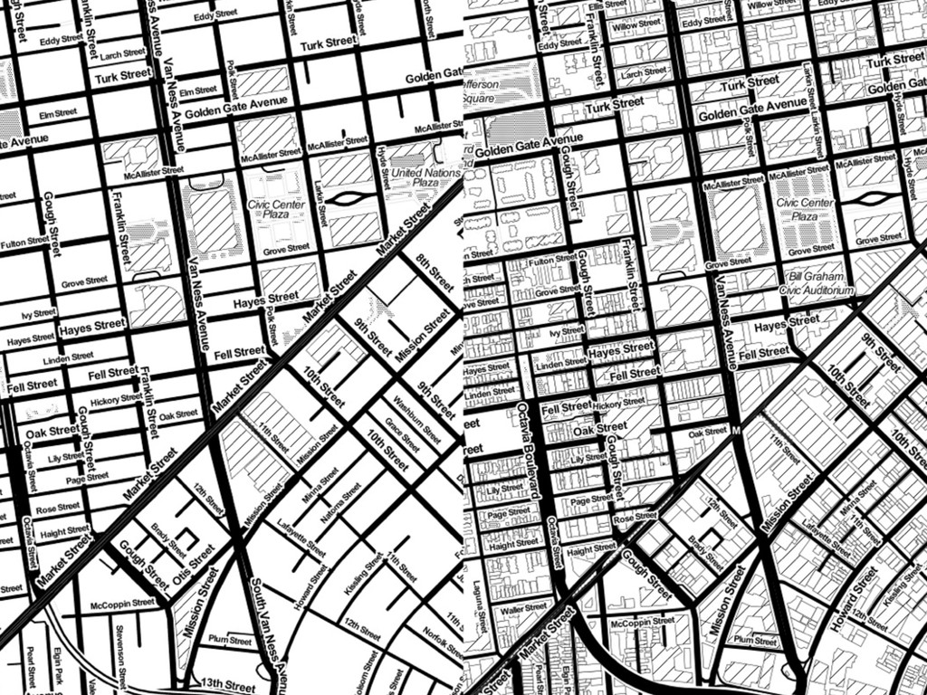
updated data
None
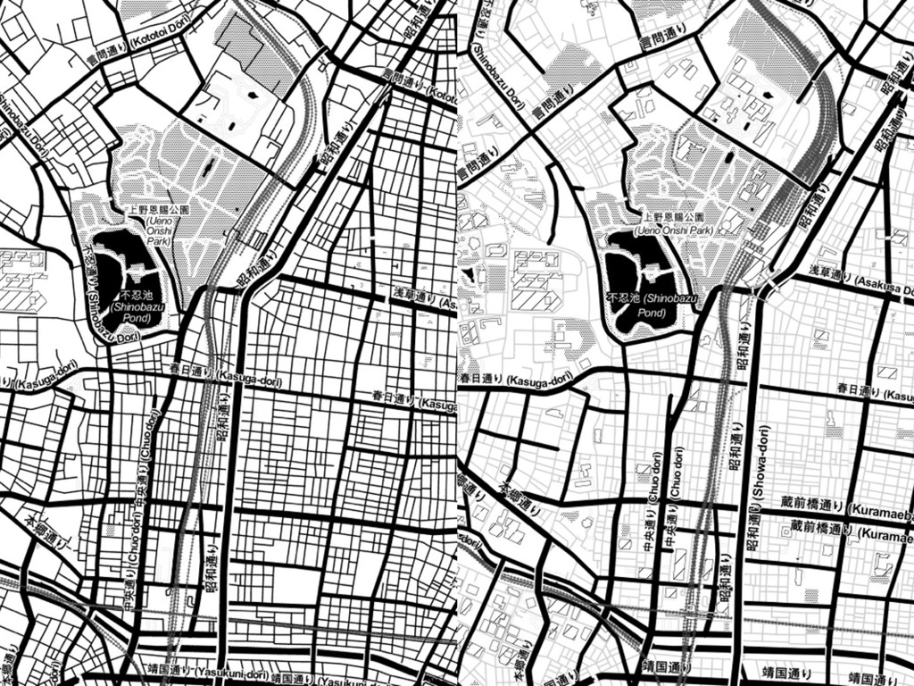
style tweaks
None
Cascadenik → CartoCSS
TileStache → tessera
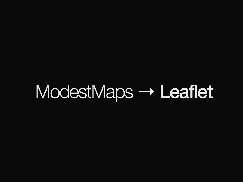
ModestMaps → Leaflet
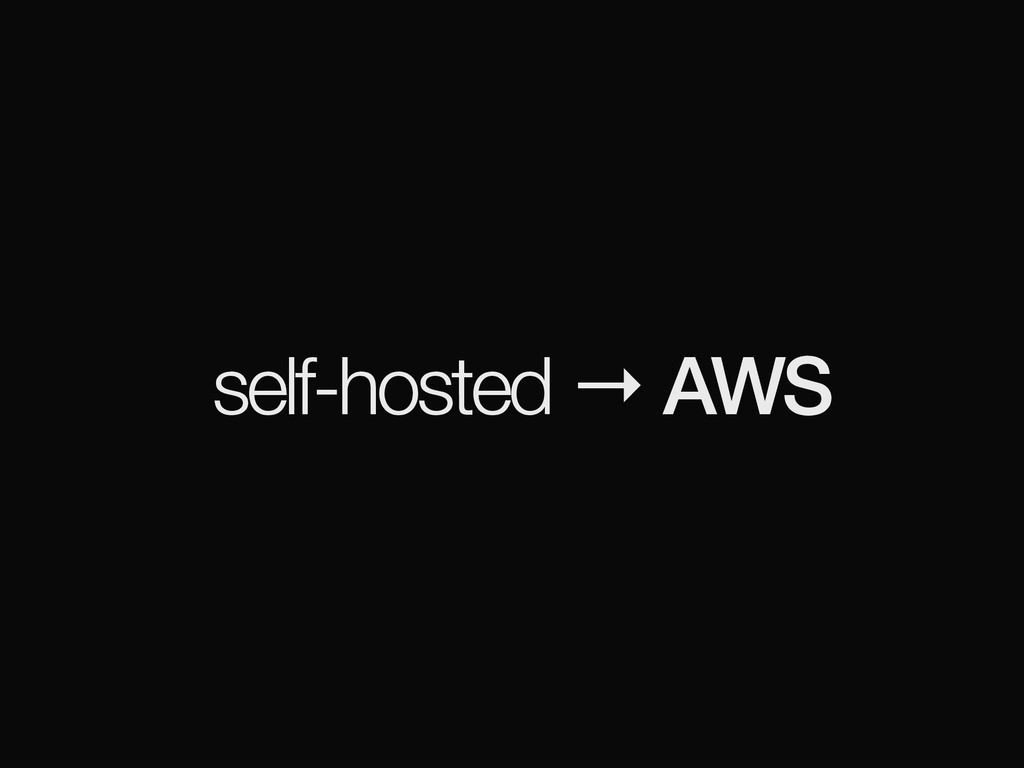
self-hosted → AWS
more accessible (?)
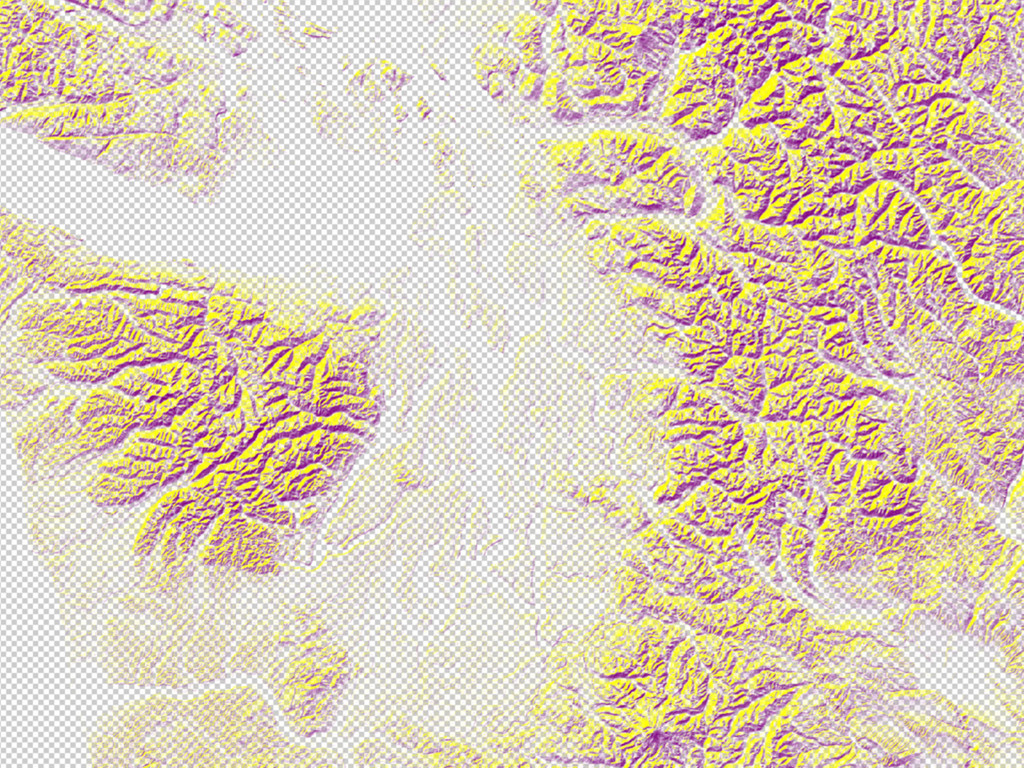
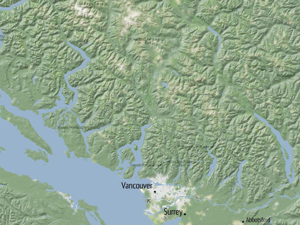
[terrain]
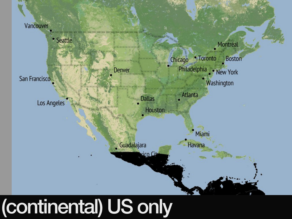
(continental) US only
∞ terrain maps
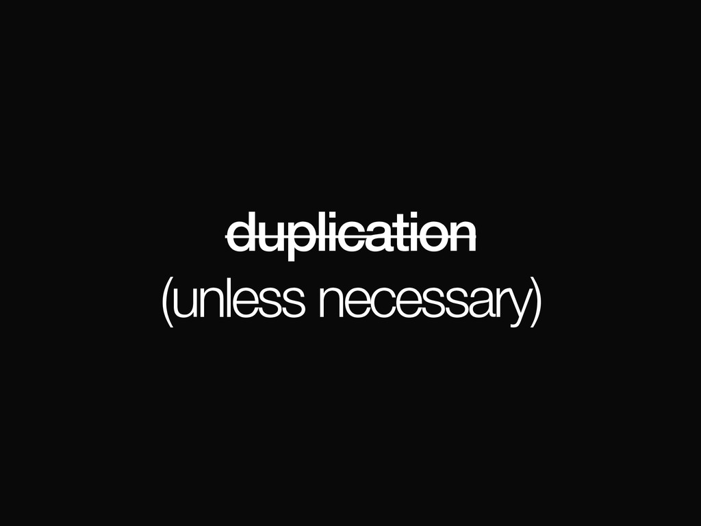
duplication (unless necessary)
“best available open data”
raw data
DEM
hillshades
contours
aspect?
slope?
… BoF @ 7:30
open (+ documented) process (work-in-progress: please help!)
(watching / collaborating with OpenAerialMap) BoF @ 8:30
expandable
institutional sources (NASA, USGS, …)
individual sources (OpenDroneMap)
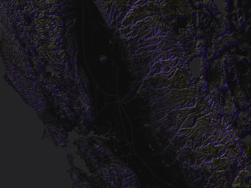
[architecture]
cheap, simple, novel
(AWS)
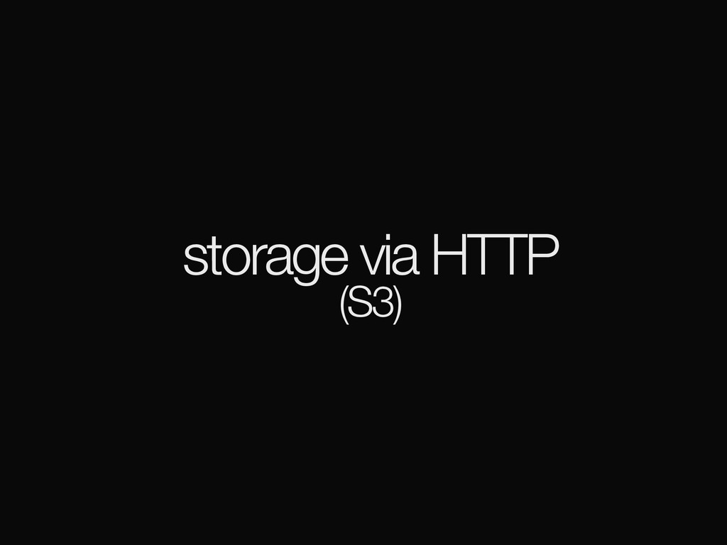
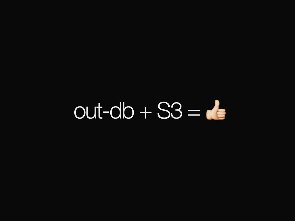
storage via HTTP (S3)
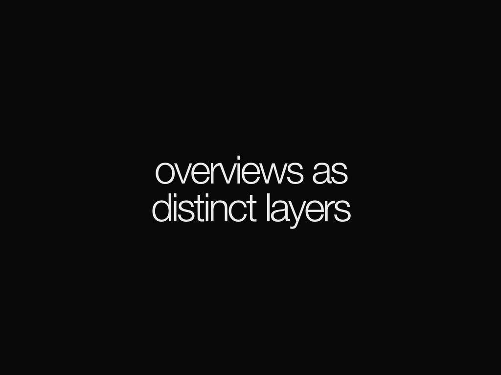
overviews as distinct layers
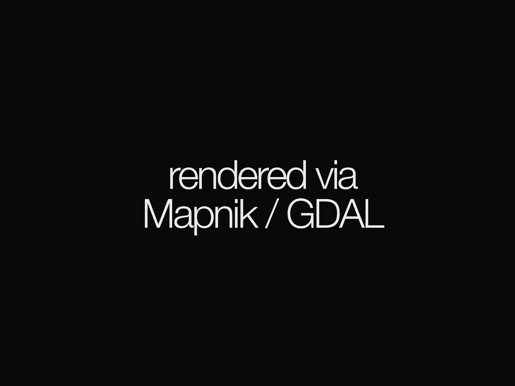
rendered via Mapnik / GDAL
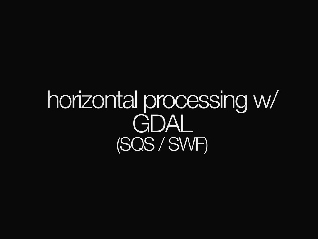
horizontal processing w/ GDAL (SQS / SWF)
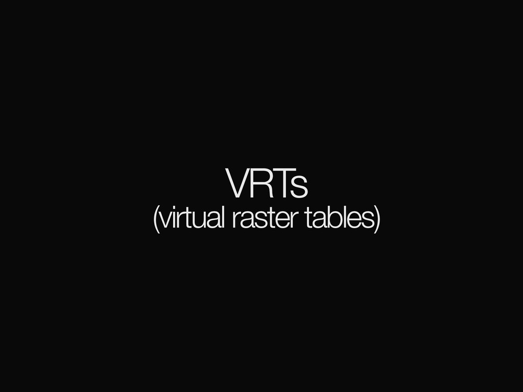
VRTs (virtual raster tables)
VSICurl /vsicurl/http://…
PostgreSQL / PostGIS
PostgreSQL / PostGIS
out-db + S3 =
(caching gotchas)
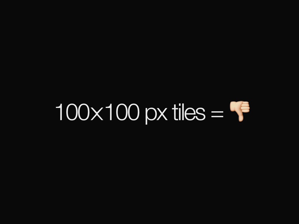
100⨉100 px tiles =
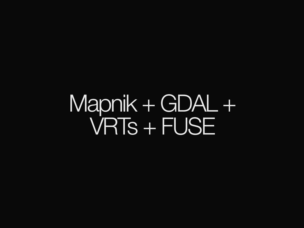
Mapnik + GDAL + VRTs + FUSE
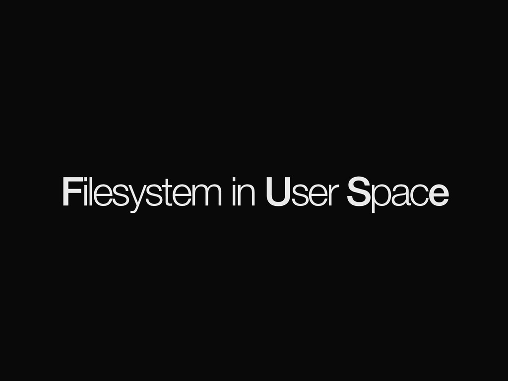
Filesystem in User Space
None
None
[access]
empowering journalists
CartoDB
None
None
help tell stories
support pipeline reuse
None
let’s figure this thing out!
[email protected]
openterrain.tumblr.com
![[intro]](https://files.speakerdeck.com/presentations/a47553aba0c04949a3e5be2985f5baa2/slide_1.jpg)
![[background]](https://files.speakerdeck.com/presentations/a47553aba0c04949a3e5be2985f5baa2/slide_11.jpg)
![[terrain]](https://files.speakerdeck.com/presentations/a47553aba0c04949a3e5be2985f5baa2/slide_36.jpg)
![[architecture]](https://files.speakerdeck.com/presentations/a47553aba0c04949a3e5be2985f5baa2/slide_53.jpg)
![[access]](https://files.speakerdeck.com/presentations/a47553aba0c04949a3e5be2985f5baa2/slide_71.jpg)
![let’s figure this thing out! [email protected] openterrain.tumblr.com](https://files.speakerdeck.com/presentations/a47553aba0c04949a3e5be2985f5baa2/slide_79.jpg)