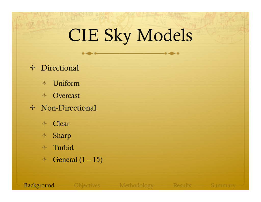
models in addition to point source illumination. ò Use well-established sky models in a rigorous manner for hill-shading. ò Understand which sky models are most useful for various types of terrain or landforms. Background Objectives Methodology Results Summary
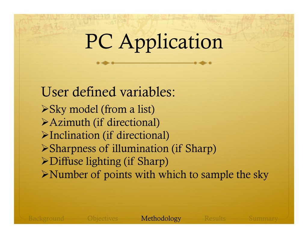
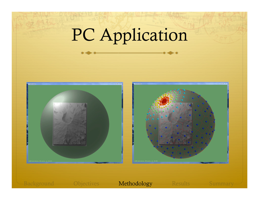
Ø Sky model (from a list) Ø Azimuth (if directional) Ø Inclination (if directional) Ø Sharpness of illumination (if Sharp) Ø Diffuse lighting (if Sharp) Ø Number of points with which to sample the sky
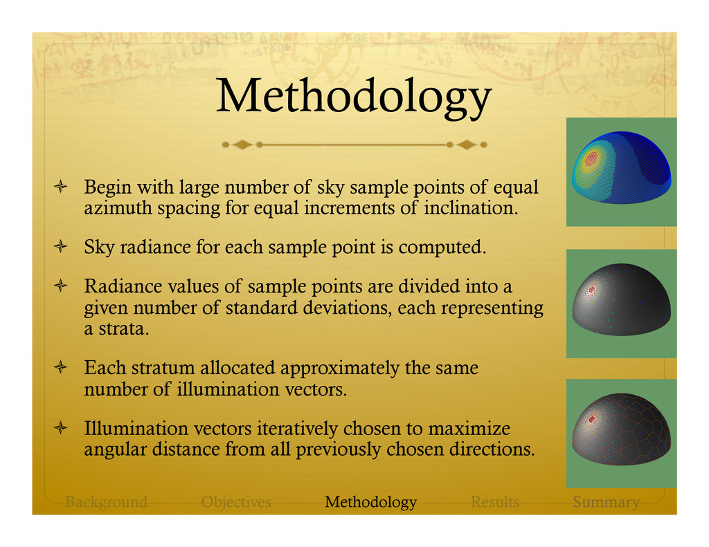
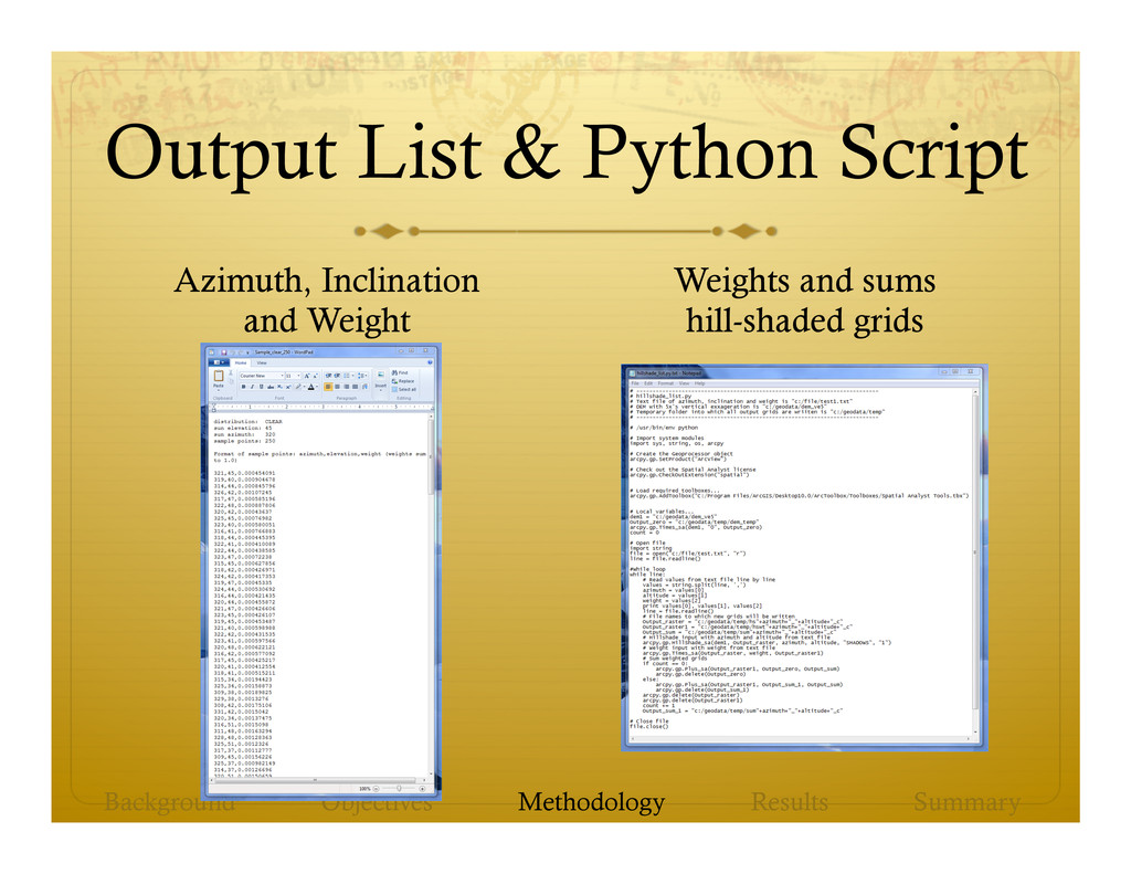
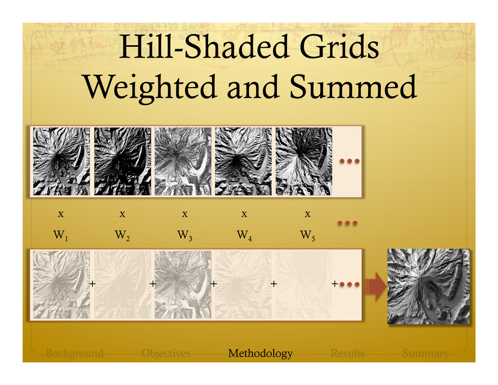
of equal azimuth spacing for equal increments of inclination. ò Sky radiance for each sample point is computed. ò Radiance values of sample points are divided into a given number of standard deviations, each representing a strata. ò Each stratum allocated approximately the same number of illumination vectors. ò Illumination vectors iteratively chosen to maximize angular distance from all previously chosen directions. Background Objectives Methodology Results Summary
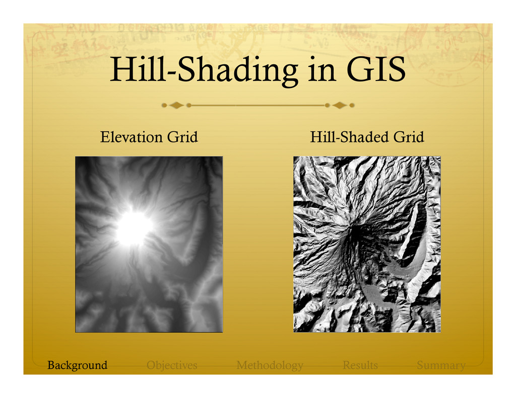
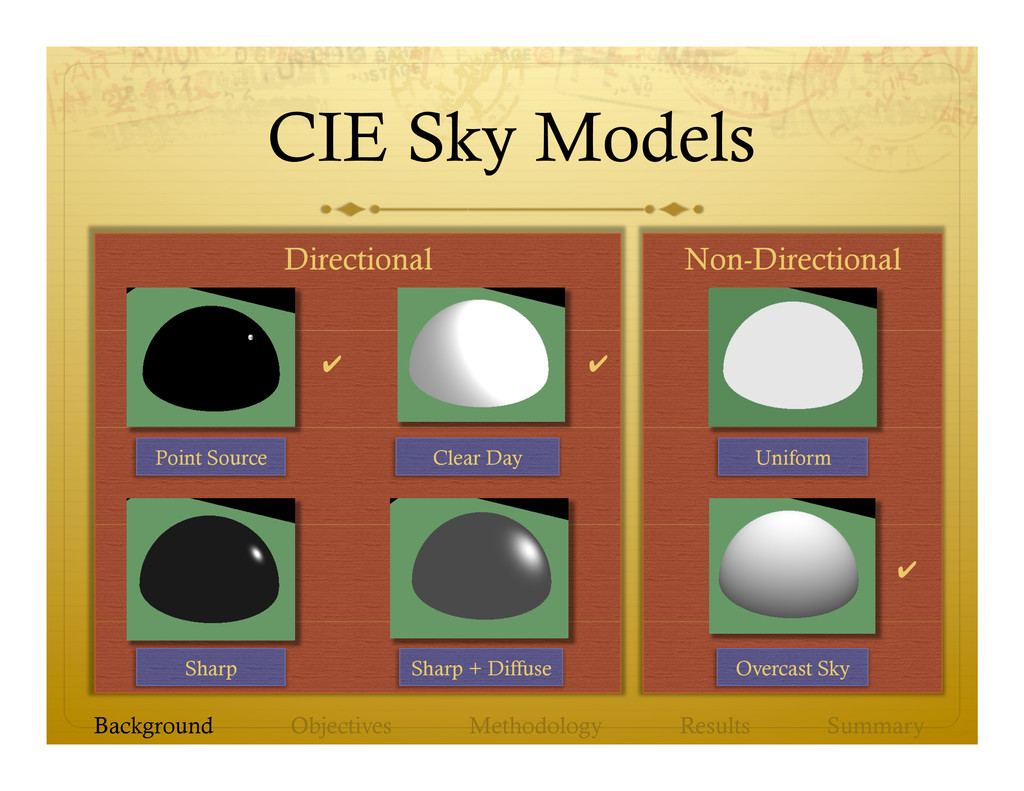
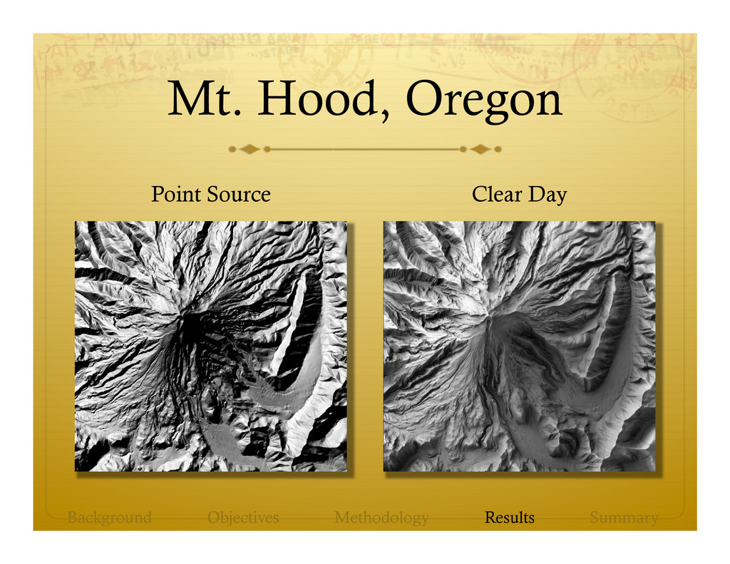
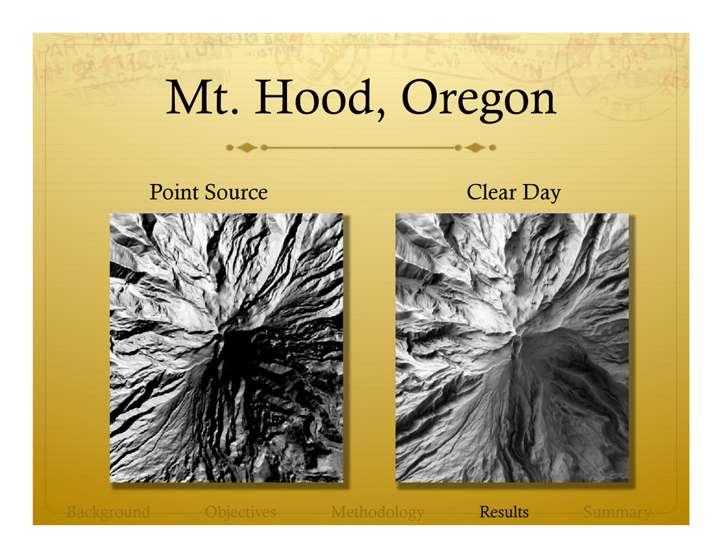
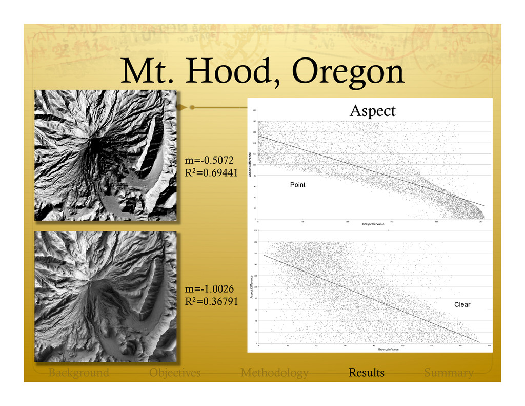
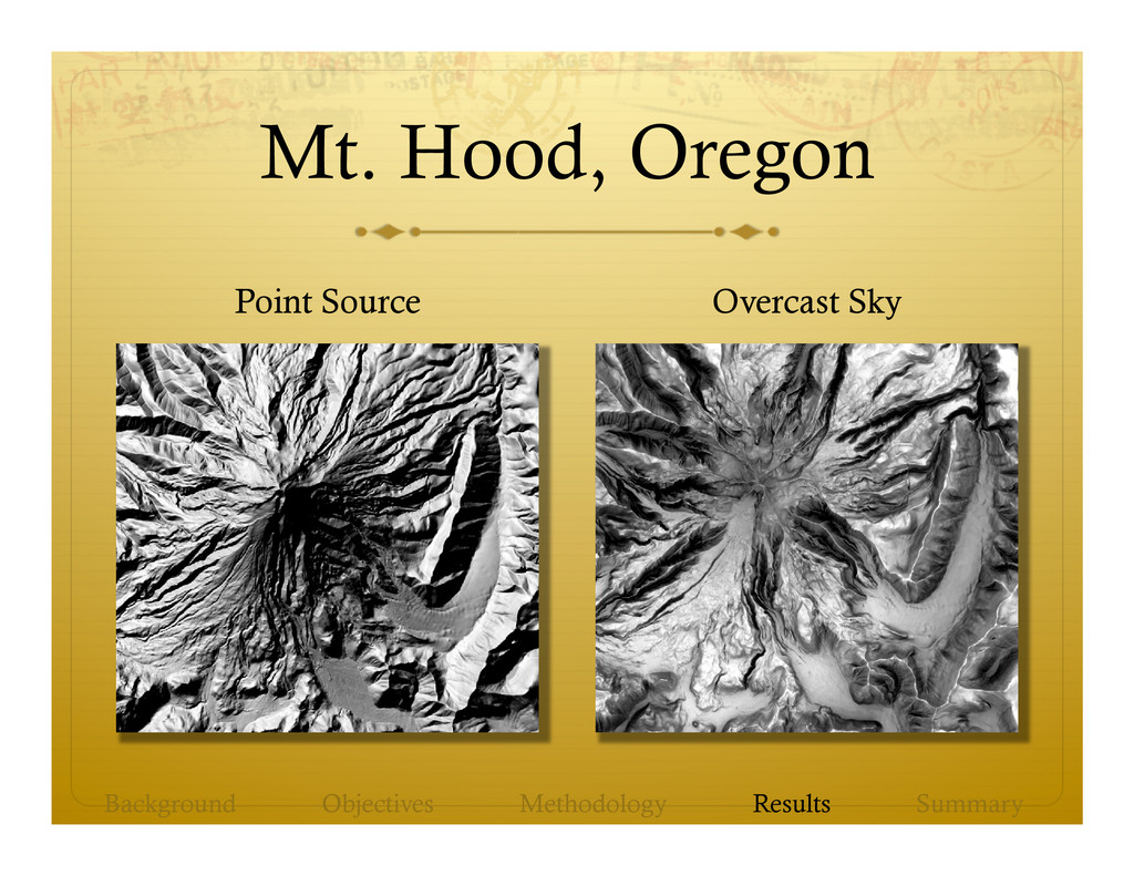
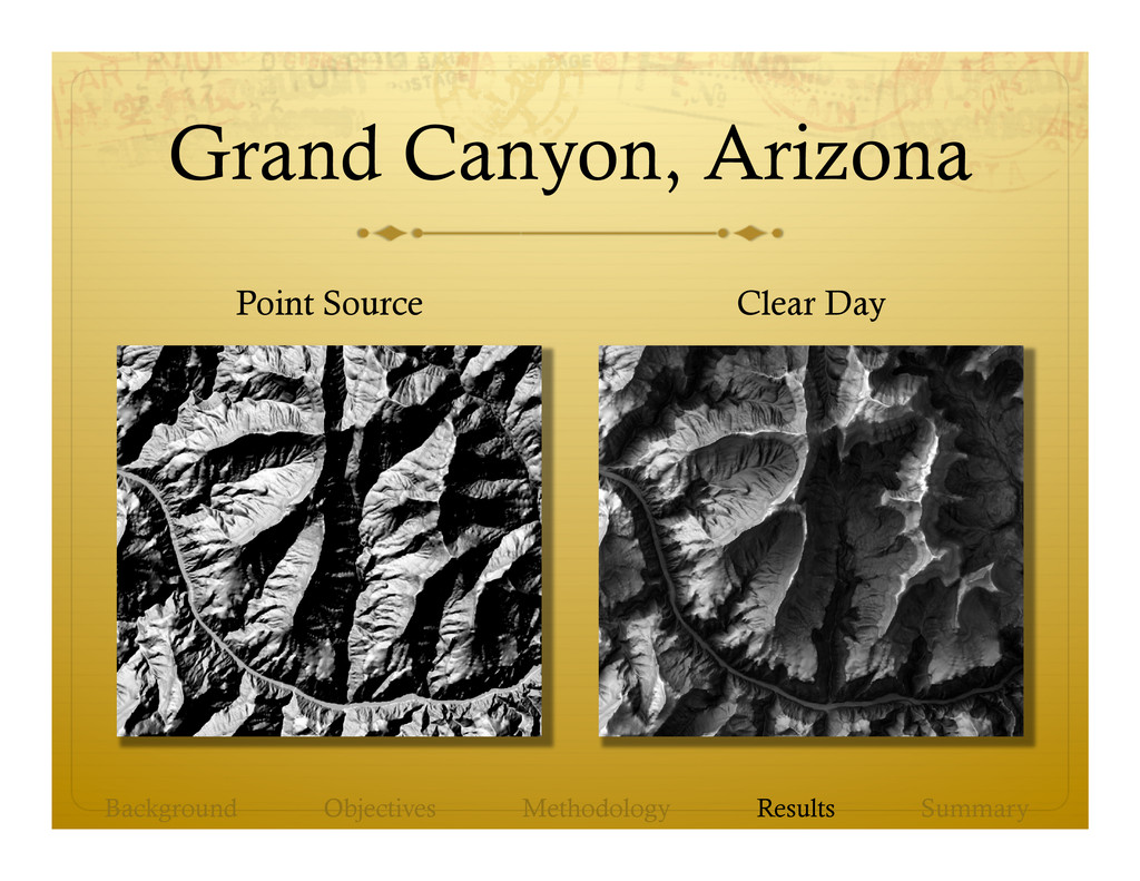
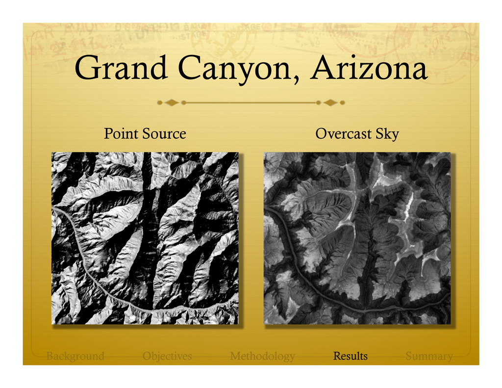
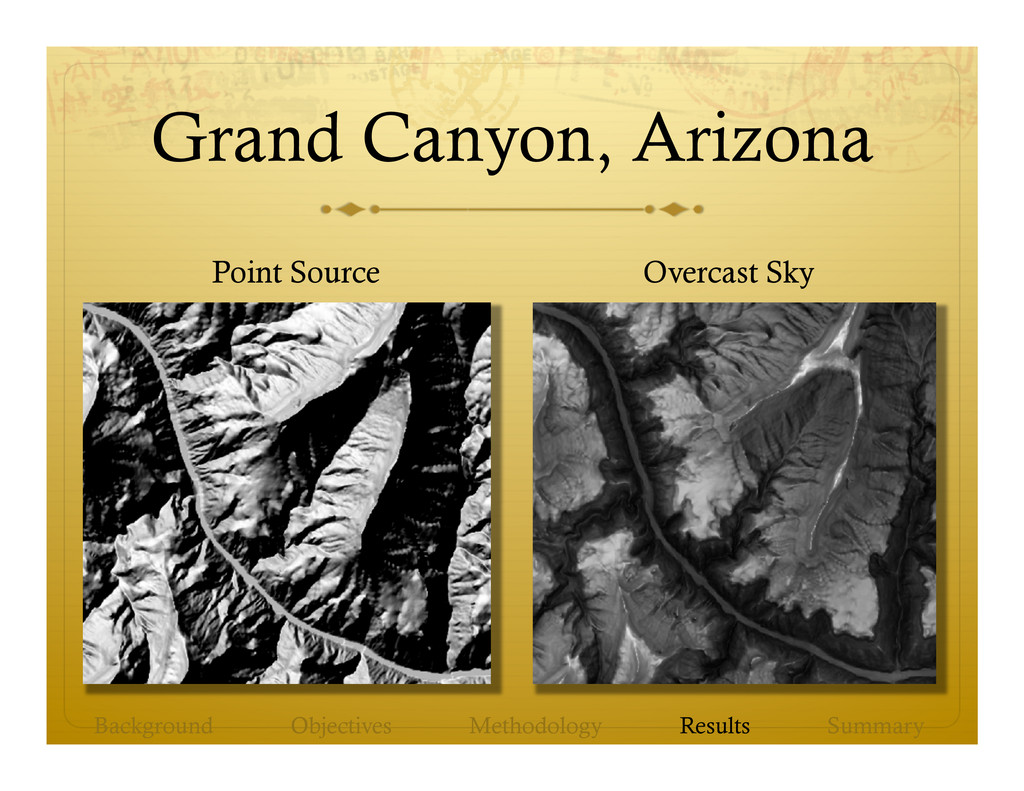
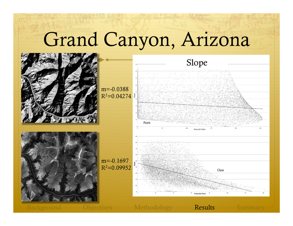
GIS using output from a PC application develop by the authors. ò Hill-shading with sky models reveals details of terrain that can be lost in shadows, dark shading, or strongly illuminated terrain. ò Directional sky models preserve the three-dimensional appearance of terrain with predominantly positive relief. ò Non-directional sky models allow more light to illuminate the depths of dissected terrain such as canyons. Background Objectives Methodology Results Summary
http://watkins.cs.queensu.ca/~jstewart/SkyLum.zip ò Upcoming publication: ò Kennelly, P. and J. Stewart. General Sky Models for Illuminating Terrains. Accepted by the International Journal of Geographical Information Science. DOI: 10.1080/13658816.2013.848985 (not yet activated) Background Objectives Methodology Results Summary