tell. Companies die sometimes. But we built open source software, which means the stuff we made can live beyond any single company! That’s why a teammate and I co-founded the new company to keep working on the open source software we love.
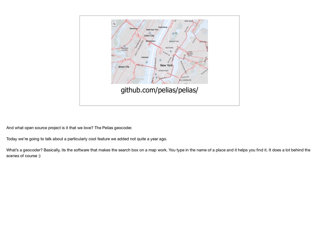
love? The Pelias geocoder. Today we’re going to talk about a particularly cool feature we added not quite a year ago. What’s a geocoder? Basically, its the software that makes the search box on a map work. You type in the name of a place and it helps you find it. It does a lot behind the scenes of course :)
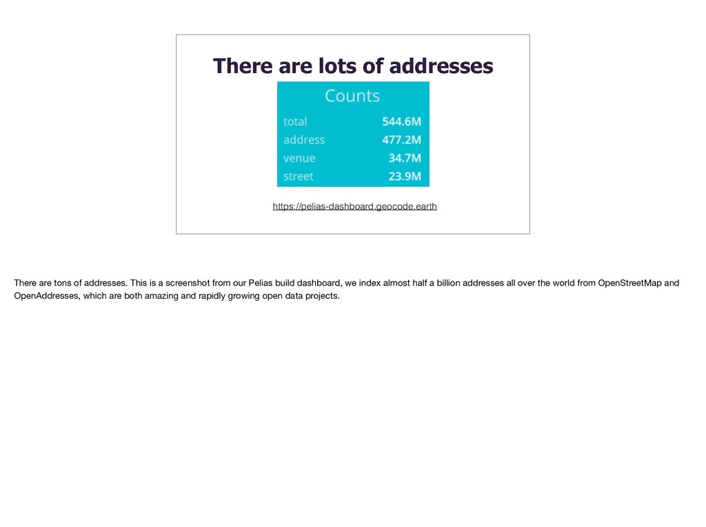
addresses. This is a screenshot from our Pelias build dashboard, we index almost half a billion addresses all over the world from OpenStreetMap and OpenAddresses, which are both amazing and rapidly growing open data projects.
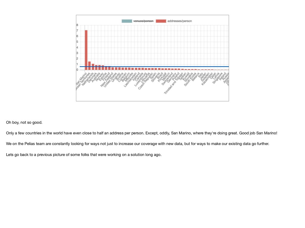
average addresses per person for each country. People who know about such things estimate that most parts of the world have an average of 2 people per address, or half an address per person. Lets zoom in a bit and see where we are.
the world have even close to half an address per person. Except, oddly, San Marino, where they're doing great. Good job San Marino! We on the Pelias team are constantly looking for ways not just to increase our coverage with new data, but for ways to make our existing data go further. Lets go back to a previous picture of some folks that were working on a solution long ago.
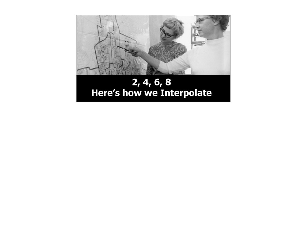
styles going on here. But more importantly, these two women are working at…the CENSUS BUREAU. And at the Census Bureau had to deal with the problem of addresses long before there were half a billion points of open address data
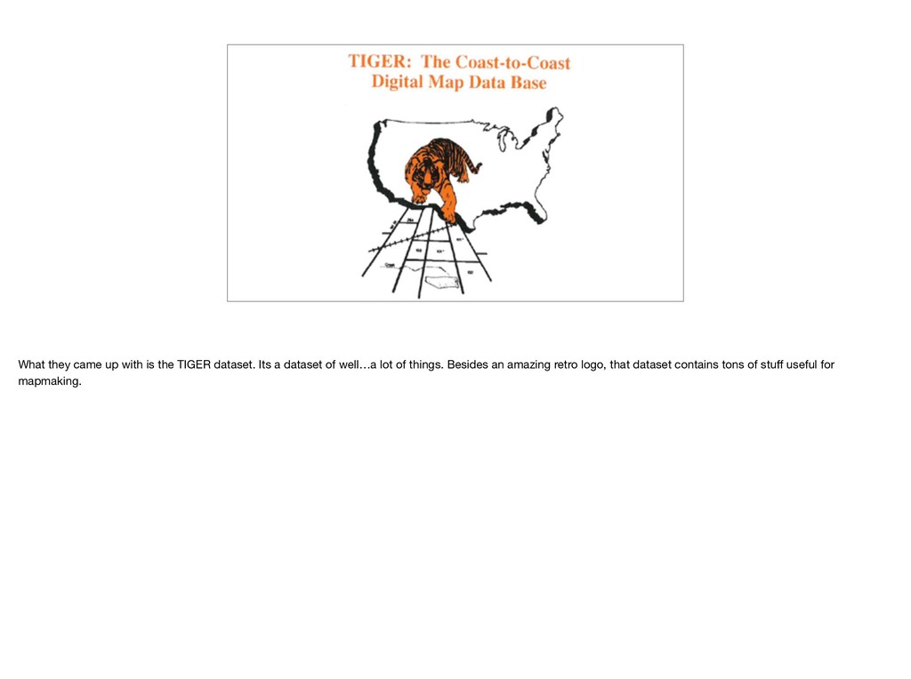
maps to create TIGER and its precursor datasets. Now they probably have someone with QGIS. This is a photo from their facility in Jeffersonville, Indiana
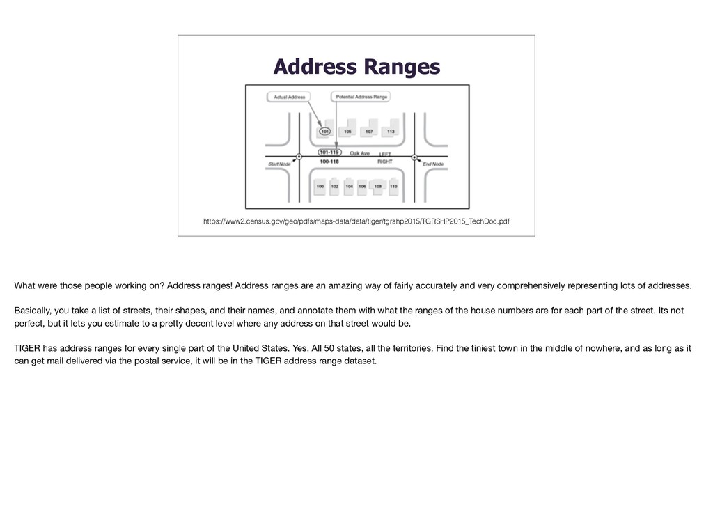
ranges! Address ranges are an amazing way of fairly accurately and very comprehensively representing lots of addresses. Basically, you take a list of streets, their shapes, and their names, and annotate them with what the ranges of the house numbers are for each part of the street. Its not perfect, but it lets you estimate to a pretty decent level where any address on that street would be. TIGER has address ranges for every single part of the United States. Yes. All 50 states, all the territories. Find the tiniest town in the middle of nowhere, and as long as it can get mail delivered via the postal service, it will be in the TIGER address range dataset.
a geocoder thats useful all over the globe. A few other countries have datasets comparable to TIGER, but most don’t. There must be something we can do with existing open data that can help us. Lets see…first we’ll need some street geometry
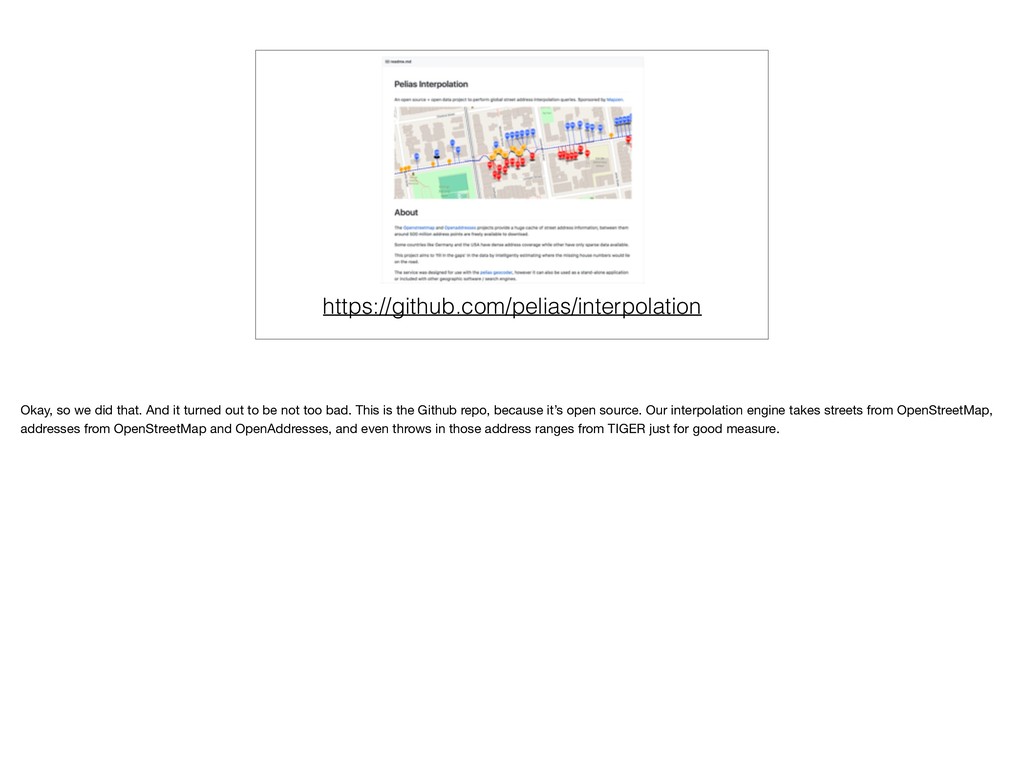
to be not too bad. This is the Github repo, because it’s open source. Our interpolation engine takes streets from OpenStreetMap, addresses from OpenStreetMap and OpenAddresses, and even throws in those address ranges from TIGER just for good measure.
our interpolation demo and debugging interface, pointed at a street you should probably recognize, since its centered on the building we’re all in. What have we got here? Well, we’ve got a blue dashed line for the geometry of the street. We’ve got markers of the different known addresses (red and blue). The green marker is me asking for an address that might exist somewhere down the street. Unfortunately, Washington D.C.’s near perfect open-data coverage makes it a bad example for interpolation. Lets look at somewhere real.
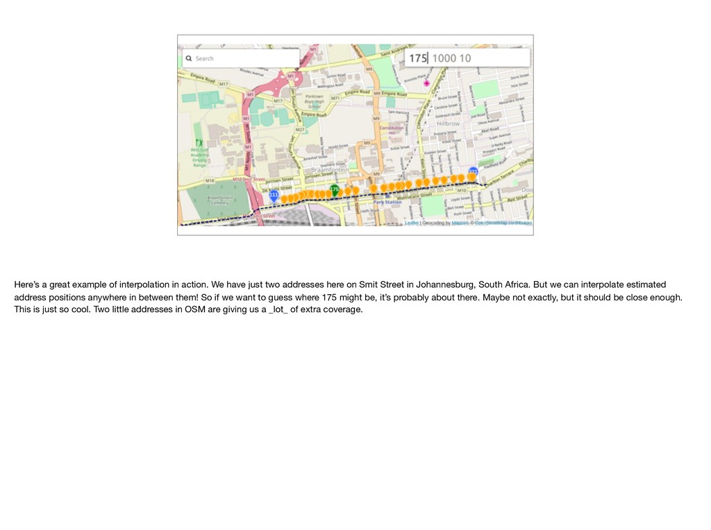
just two addresses here on Smit Street in Johannesburg, South Africa. But we can interpolate estimated address positions anywhere in between them! So if we want to guess where 175 might be, it’s probably about there. Maybe not exactly, but it should be close enough. This is just so cool. Two little addresses in OSM are giving us a _lot_ of extra coverage.
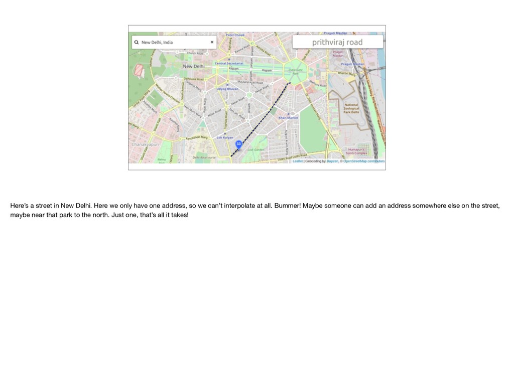
one address, so we can’t interpolate at all. Bummer! Maybe someone can add an address somewhere else on the street, maybe near that park to the north. Just one, that’s all it takes!
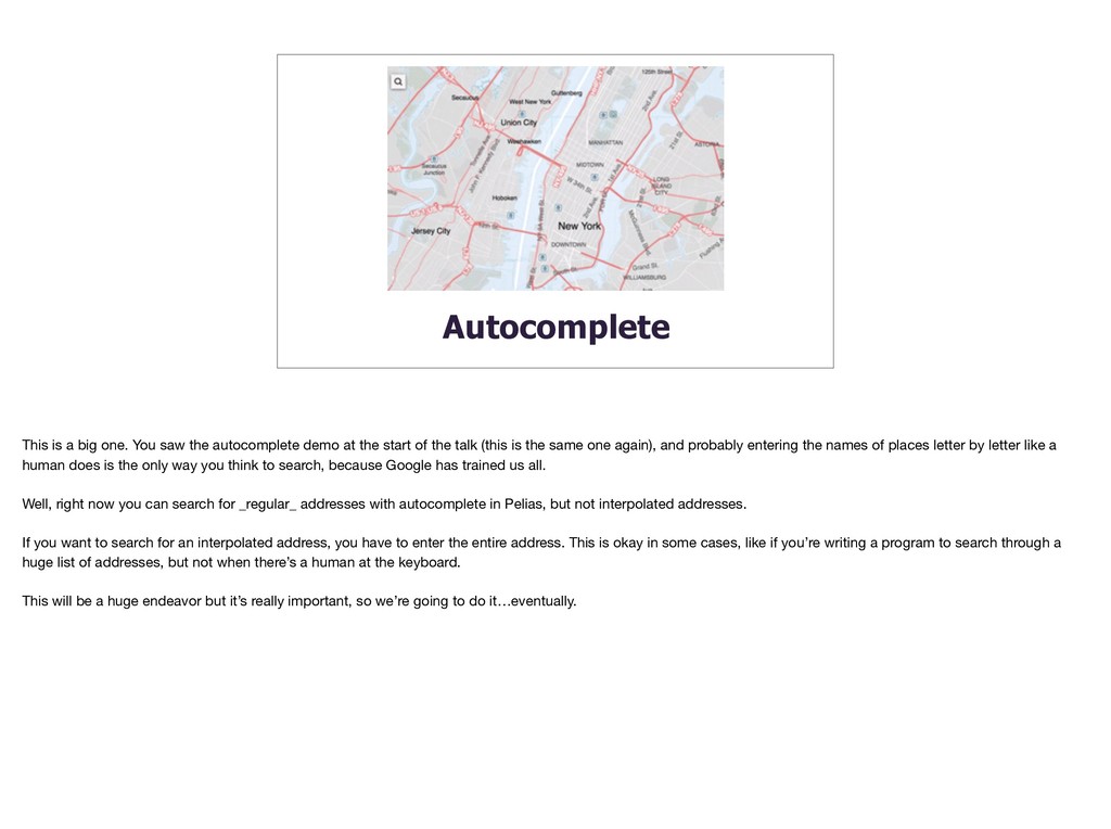
demo at the start of the talk (this is the same one again), and probably entering the names of places letter by letter like a human does is the only way you think to search, because Google has trained us all. Well, right now you can search for _regular_ addresses with autocomplete in Pelias, but not interpolated addresses. If you want to search for an interpolated address, you have to enter the entire address. This is okay in some cases, like if you’re writing a program to search through a huge list of addresses, but not when there’s a human at the keyboard. This will be a huge endeavor but it’s really important, so we’re going to do it…eventually.
:( Good software is fast. Right now our interpolation engine is pretty fast when searching, but it takes a long time to go through all the data initially. A long time…
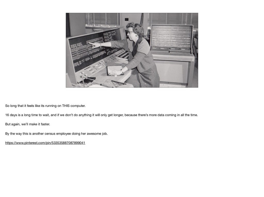
computer. 16 days is a long time to wait, and if we don’t do anything it will only get longer, because there’s more data coming in all the time. But again, we’ll make it faster. By the way this is another census employee doing her awesome job. https://www.pinterest.com/pin/533535887087899041
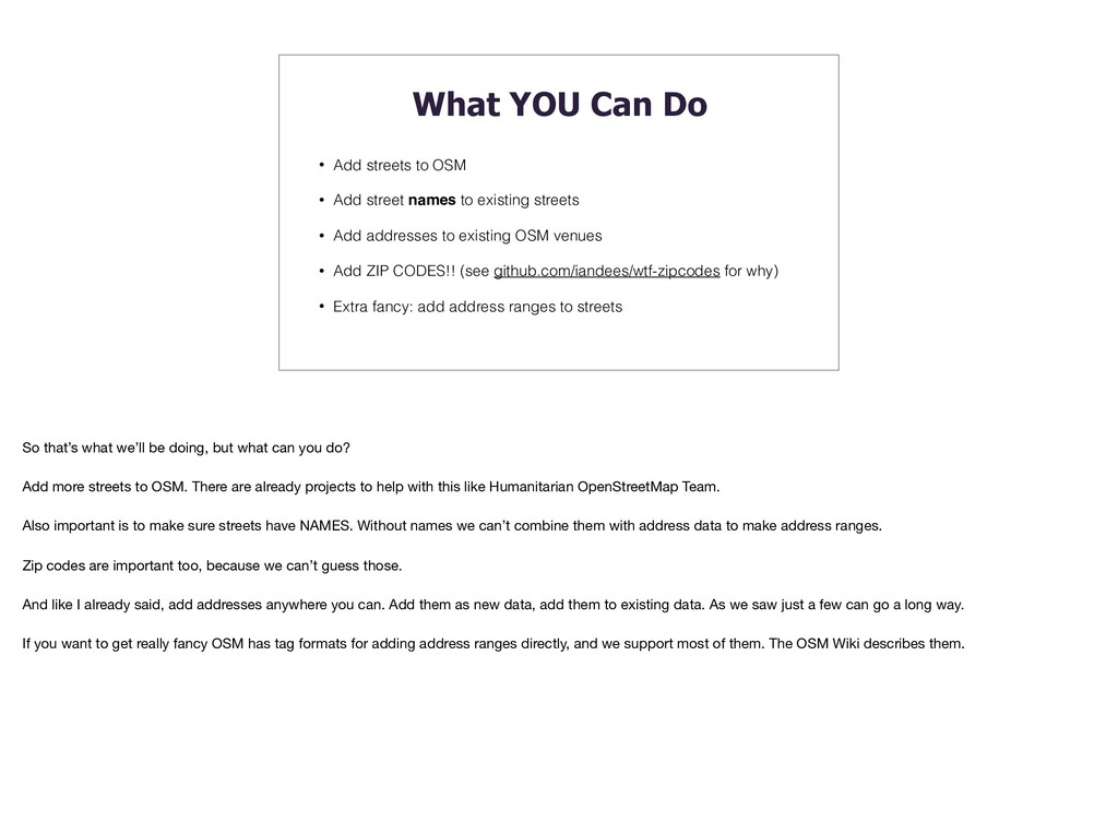
Add street names to existing streets • Add addresses to existing OSM venues • Add ZIP CODES!! (see github.com/iandees/wtf-zipcodes for why) • Extra fancy: add address ranges to streets So that’s what we’ll be doing, but what can you do? Add more streets to OSM. There are already projects to help with this like Humanitarian OpenStreetMap Team. Also important is to make sure streets have NAMES. Without names we can’t combine them with address data to make address ranges. Zip codes are important too, because we can’t guess those. And like I already said, add addresses anywhere you can. Add them as new data, add them to existing data. As we saw just a few can go a long way. If you want to get really fancy OSM has tag formats for adding address ranges directly, and we support most of them. The OSM Wiki describes them.