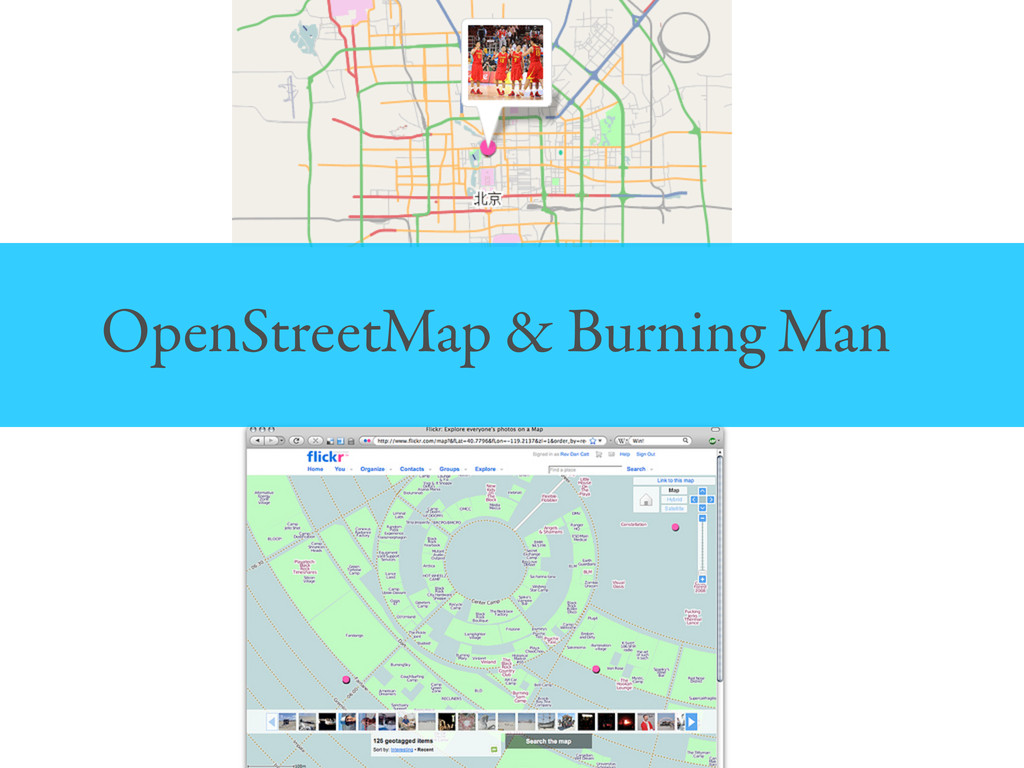
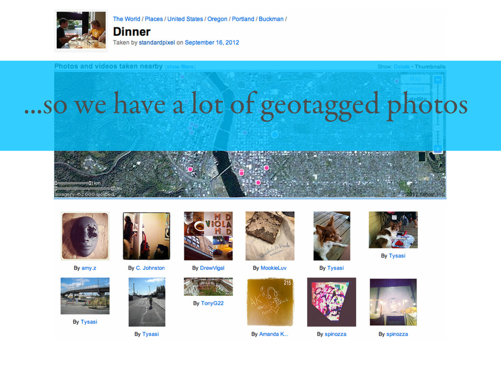
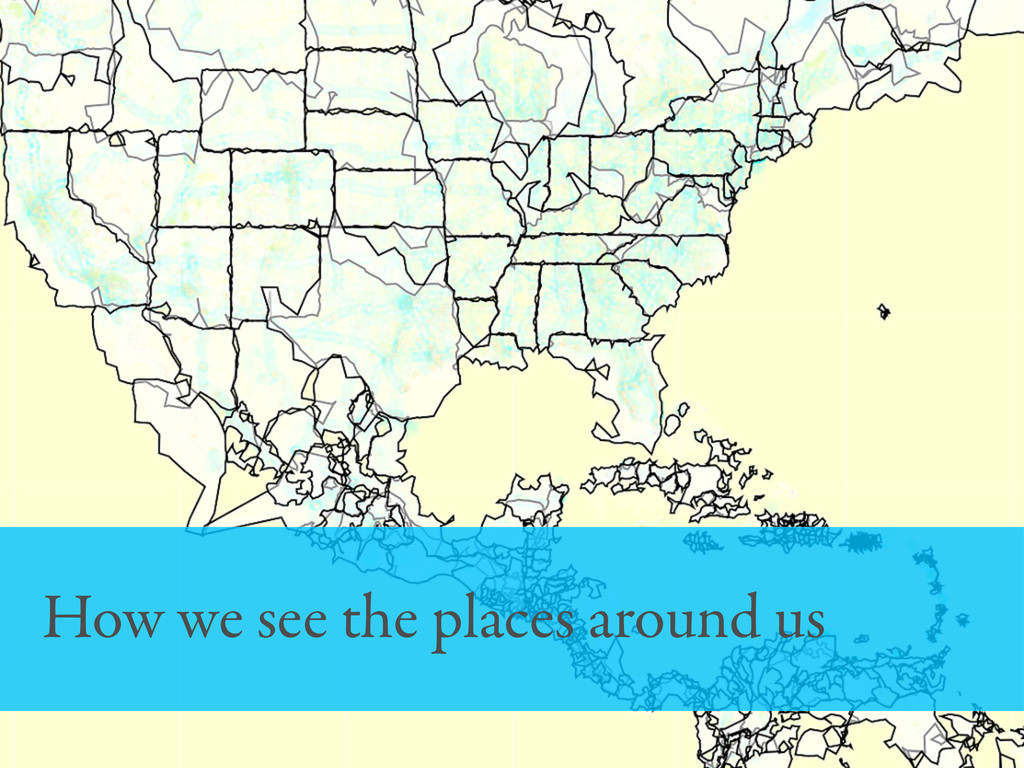
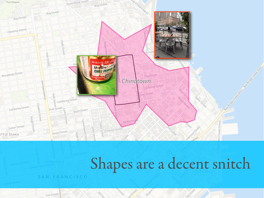
Flickr and geography have a long history together: Working with the OpenStreetMap community to give photos of the Beijing olympics detailed maps in 2008 and the introduction of our own style using TileMill are two examples of this relationship. As a result, the Flickr community has one of the largest sets of carefully geotagged photos in the world. They use maps to help tell a story about the time and place where their photo was taken. All of this careful geotagging makes photos more interesting.
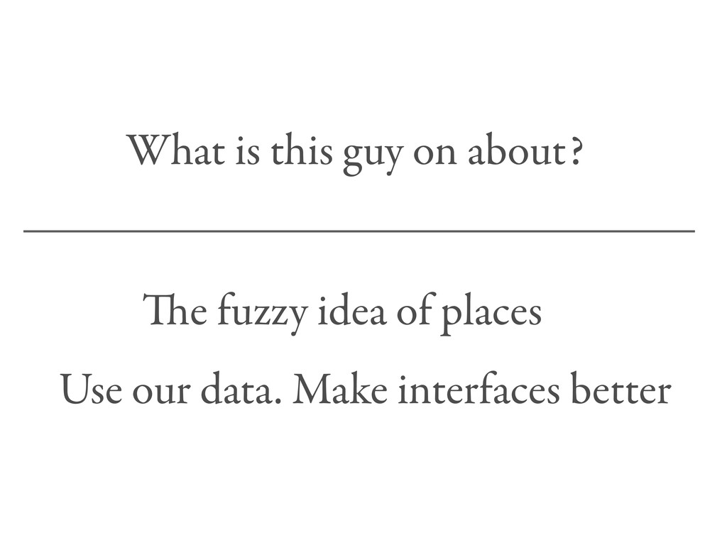
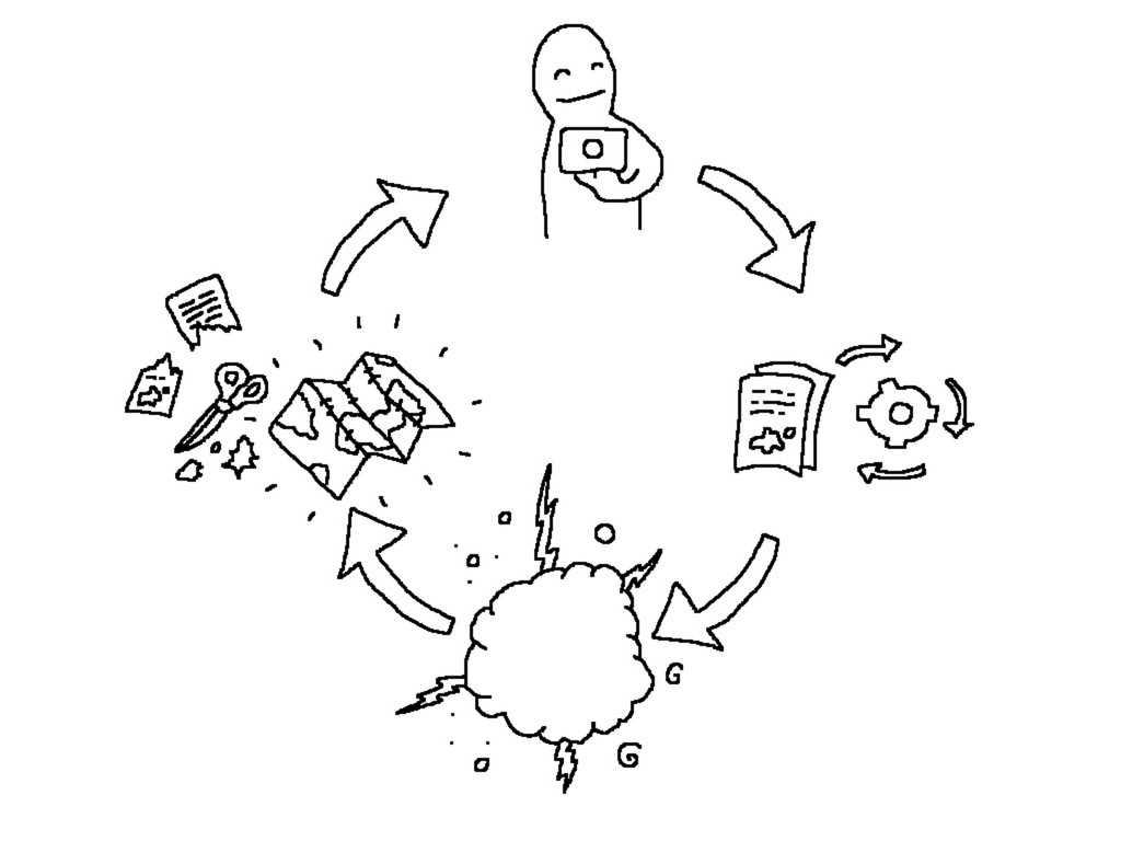
In this talk I discuss how map makers and others can learn from the Flickr community about the world? Also, some steps Flickr takes to learn and adapt from this data?
Related reading:
http://code.flickr.com/blog/2009/05/06/the-absence-and-the-anchor/
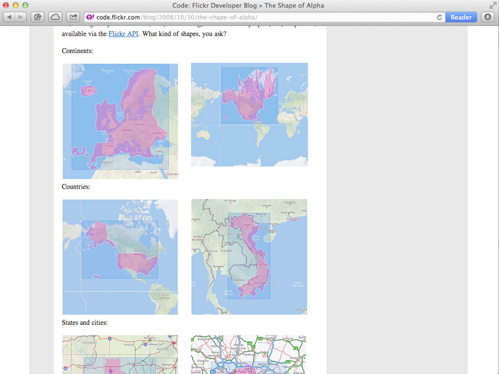
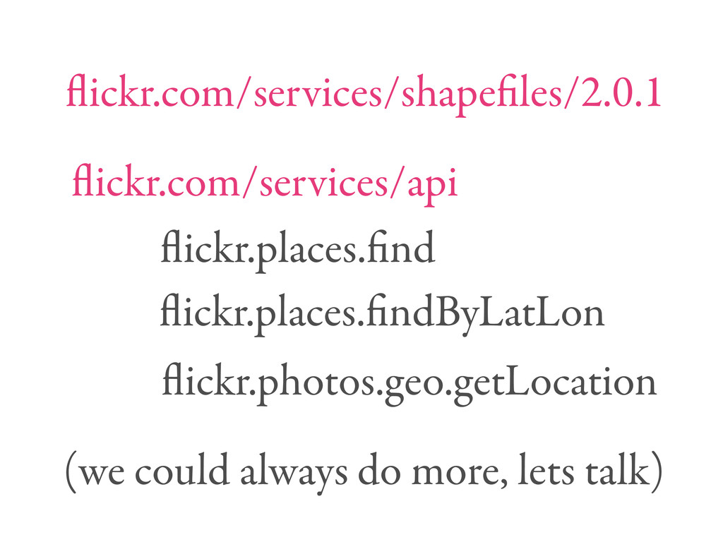
http://code.flickr.com/blog/2011/01/08/flickr-shapefiles-public-dataset-2-0/
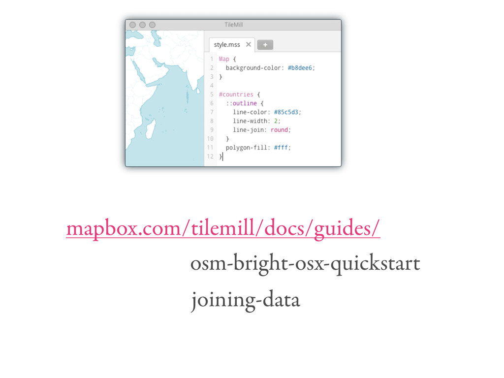
http://code.flickr.com/blog/2012/07/11/designing-an-osm-map-style/