Upgrade to Pro — share decks privately, control downloads, hide ads and more …

ESA Space App Camp 2016: Smart Cities

Stuart Kent
September 19, 2016

ESA Space App Camp 2016: Smart Cities

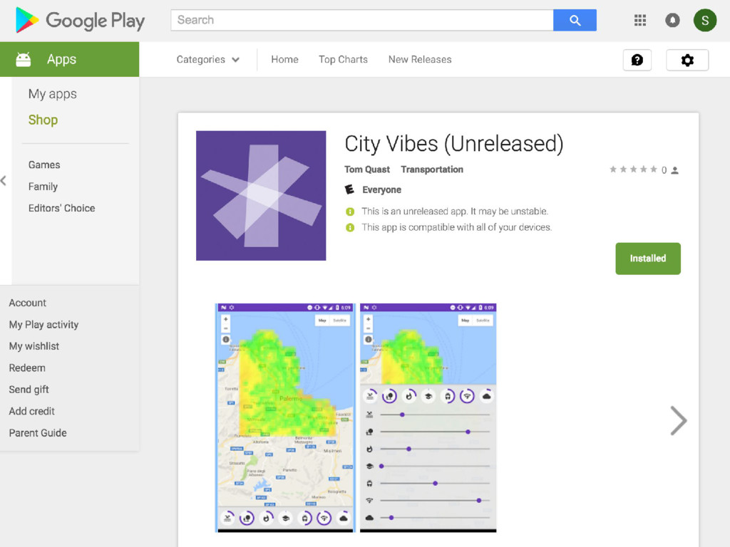
Final presentation describing our smart city application concept, City Vibes.

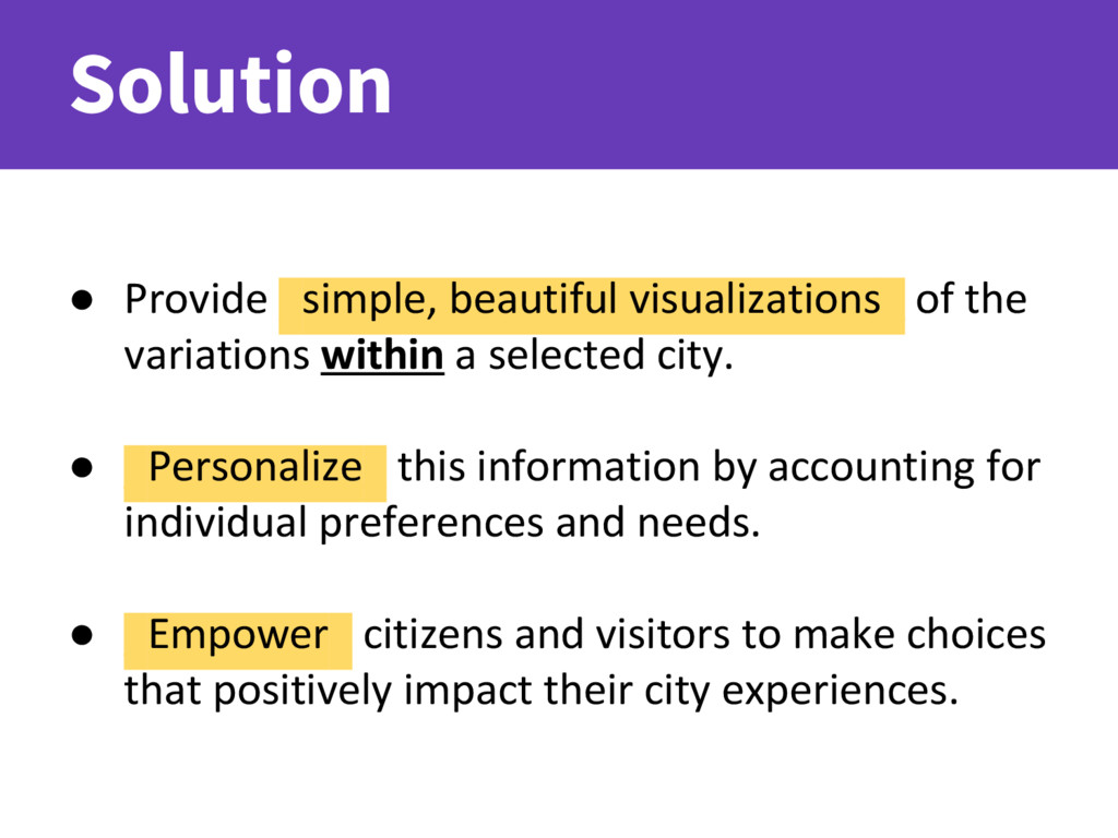
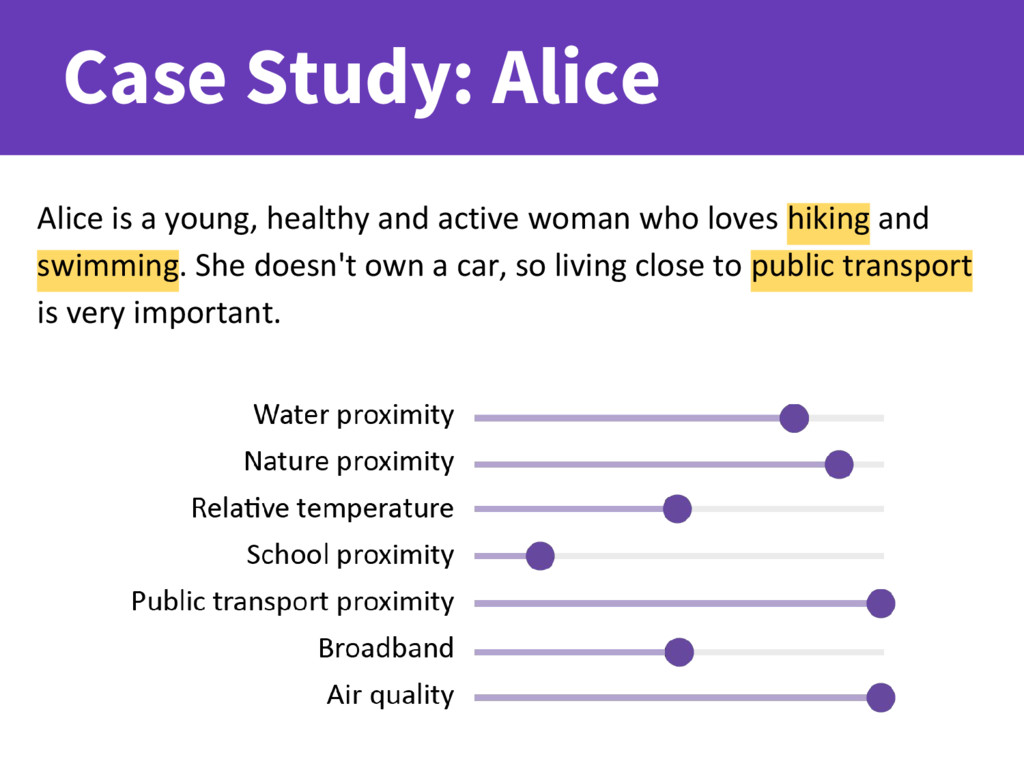
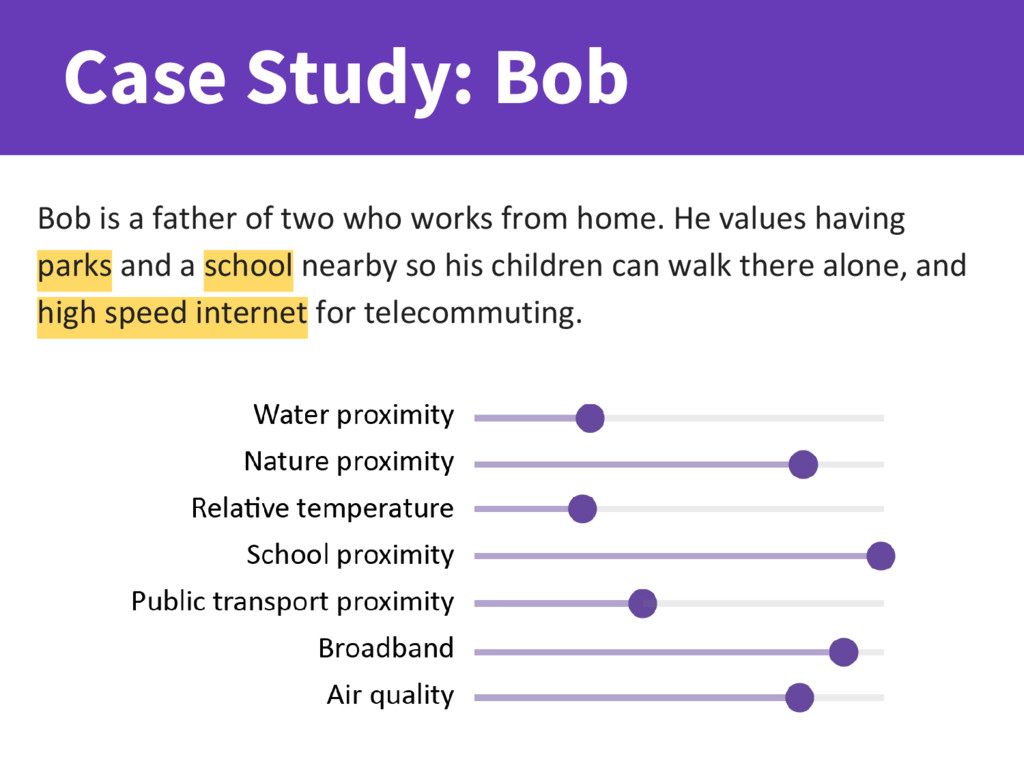
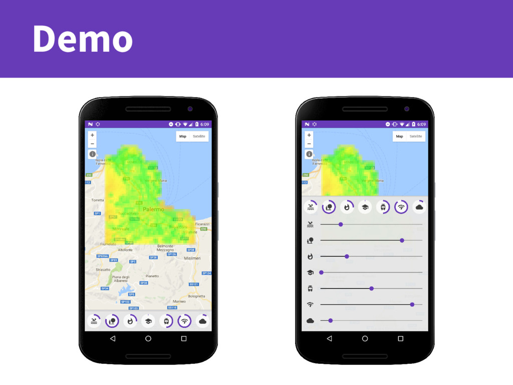
"Living in a city can be both rewarding and challenging. Our app City Vibes helps you focus on the best and forget the rest! Select your personal priorities, then discover which city streets suit your style.

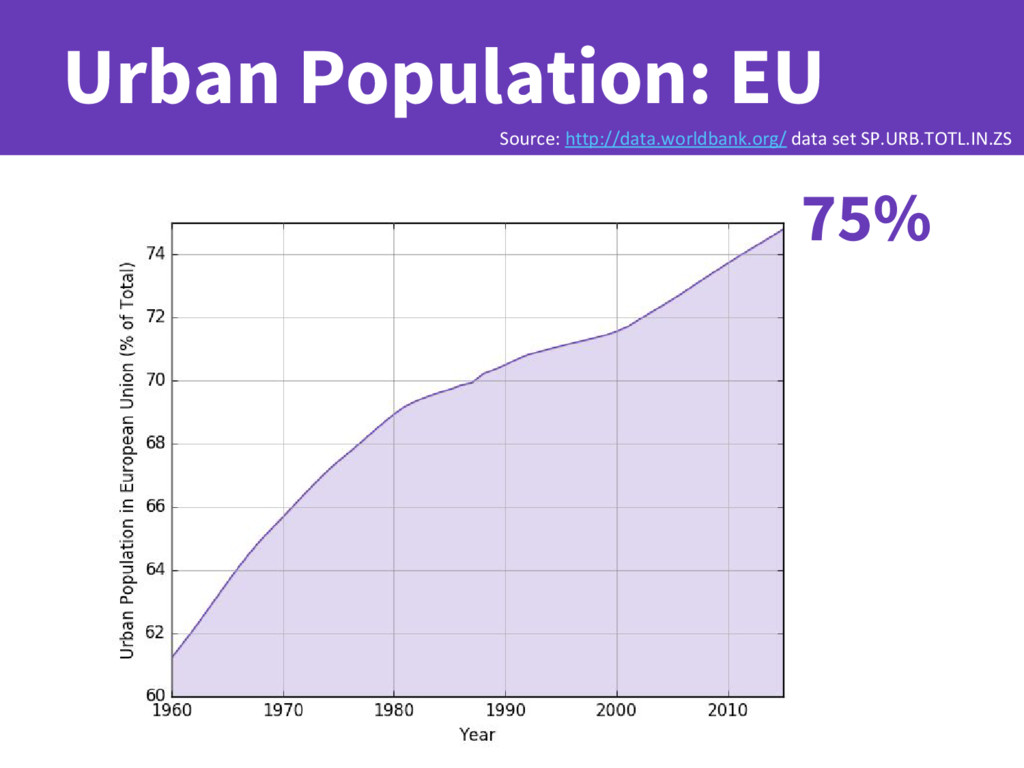
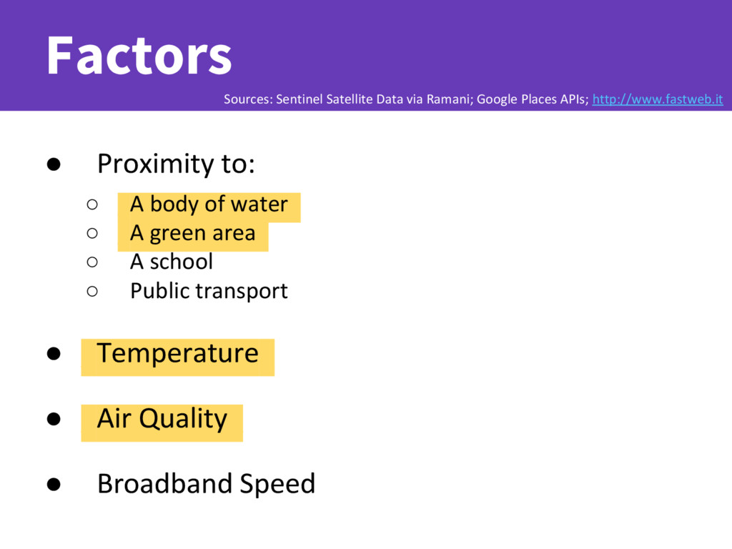
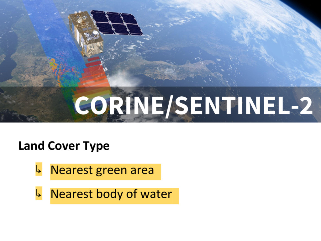
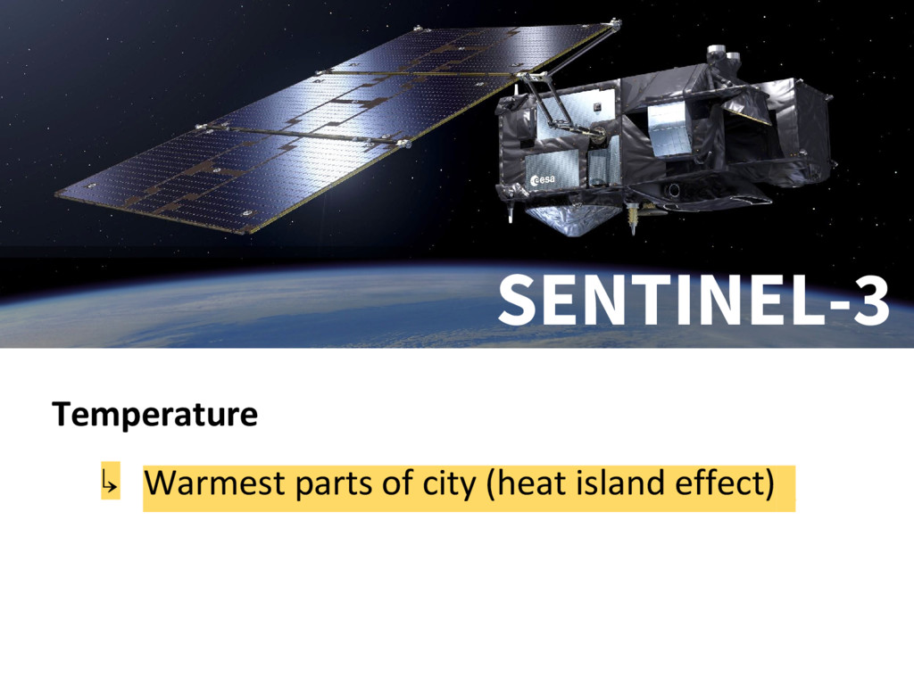
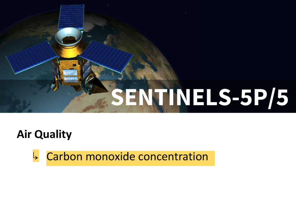
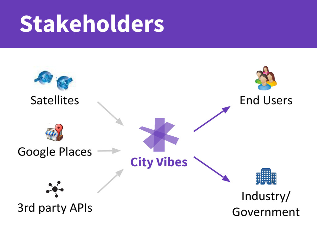
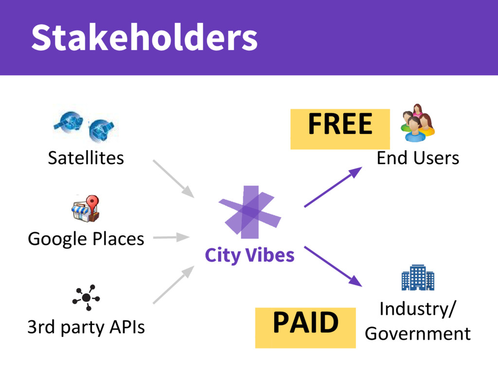
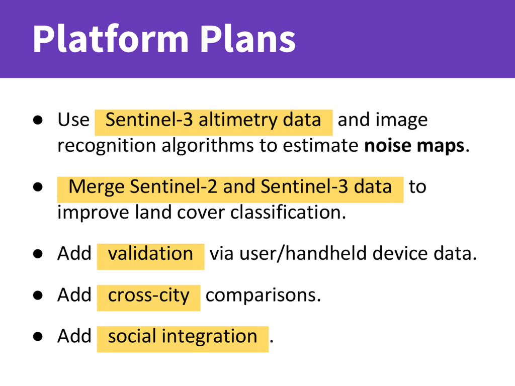
We use data from multiple European Space Agency satellites (Sentinels 2, 3, 5P and 5) as well as more traditional sources as inputs to our simple and intuitive visualizations. Our aim is to help the 75% of EU citizens living in urban areas maximize their quality of life."

Venue: European Space Research Institute, Rome

Stuart Kent

September 19, 2016
Tweet

More Decks by Stuart Kent

Other Decks in Technology

Transcript

  1. Team Isaac Besora Anthony Thomas Stuart Kent Tom Quast Lead

    Engineer, Alter Sport. @ibesora Mobile Developer, Detroit Labs. @skentphd Founder, Creative Vikings. @t0mnar Developer, Trainline. @3DPrintScanner
  2. Problem • City resources are limited. • Measuring _quality of

    life_ is complex: ◦ Many factors... ◦ ...which evolve over time... ◦ ...and are valued differently by each _individual_.
  3. Solution • Provide _simple, beautiful visualizations_ of the variations within

    a selected city. • _ • _Personalize_ this information by accounting for individual preferences and needs. • _ • _Empower_ citizens and visitors to make choices that positively impact their city experiences.
  4. Factors • _Proximity to: ◦ _ ◦ _A body of

    water_ ◦ _A green area_ ◦ _A school ◦ _Public transport • _ • _Temperature_ • _ • _Air Quality_ • _ • _Broadband Speed Sources: Sentinel Satellite Data via Ramani; Google Places APIs; http://www.fastweb.it
  5. Case Study: Alice Alice is a young, healthy and active

    woman who loves hiking and swimming. She doesn't own a car, so living close to public transport is very important.
  6. Case Study: Bob Bob is a father of two who

    works from home. He values having parks and a school nearby so his children can walk there alone, and high speed internet for telecommuting.
  7. “An app like this, and the data it provides [...]

    would greatly improve what we do in city planning.” Oriol Camps Cervera, city council member in Berga, Spain City Government
  8. “Don’t miss the next home, it could the perfect match

    for you.” Daniel Juhl Mogensen, founder of boligbesked.dk Rental Market
  9. “Being able to offer more natural data [...] goes a

    long way to really get the flats people are looking for.” Alicia Ruiz Trasserra, owner of the real estate agency Immollac Real Estate Agents/Investors
  10. Product Timeline _Alpha_ Yesterday :) _Beta_ End of this year.

    - Technical improvements. - Find partner to collaborate with. - Accumulate user feedback. _Release_ ASAP! - Paying customers.
  11. • Use _Sentinel-3 altimetry data_ and image recognition algorithms to

    estimate noise maps. • _ • _Merge Sentinel-2 and Sentinel-3 data_ to improve land cover classification. • _ • Add _validation_ via user/handheld device data. • _ • Add _cross-city_ comparisons. • _ • Add _social integration_. Platform Plans