Transfer Vector Tiles in the ArcGIS Platform Rene Rubalcava & Craig Williams @odoenet, @williamscraigm March 8–11, 2016 | Palm Springs, CA Esri Developer Summit
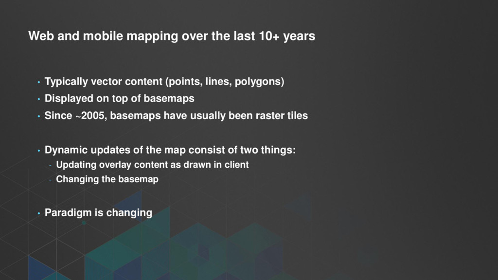
Typically vector content (points, lines, polygons) • Displayed on top of basemaps • Since ~2005, basemaps have usually been raster tiles • Dynamic updates of the map consist of two things: - Updating overlay content as drawn in client - Changing the basemap • Paradigm is changing
On your devices (OpenGL) - In your browser (WebGL) - On your desktop (DirectX, OpenGL) - Even in virtualized systems (vGPU) • Vector data can remain vector, draw at native resolution • Raster data still best served as raster in most circumstances
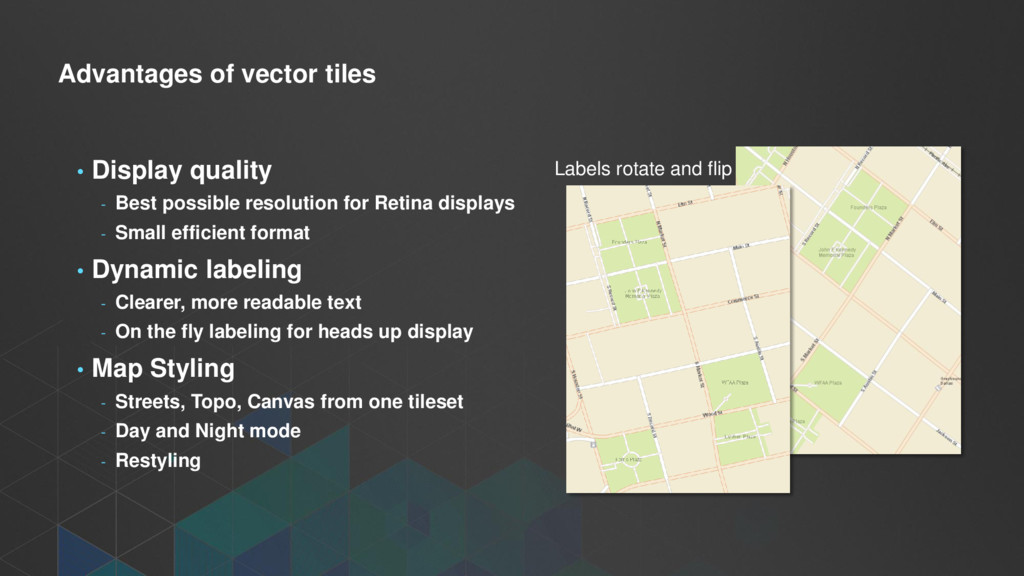
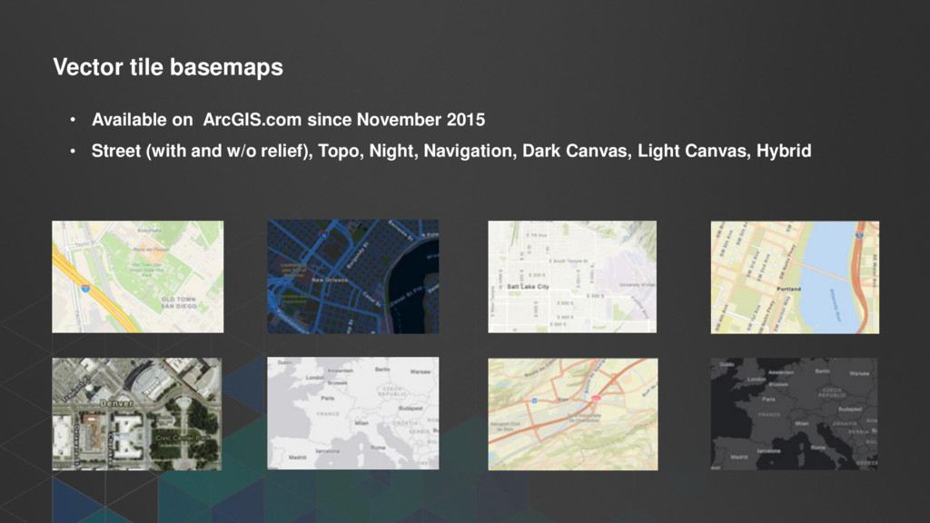
resolution for Retina displays - Small efficient format • Dynamic labeling - Clearer, more readable text - On the fly labeling for heads up display • Map Styling - Streets, Topo, Canvas from one tileset - Day and Night mode - Restyling Labels rotate and flip
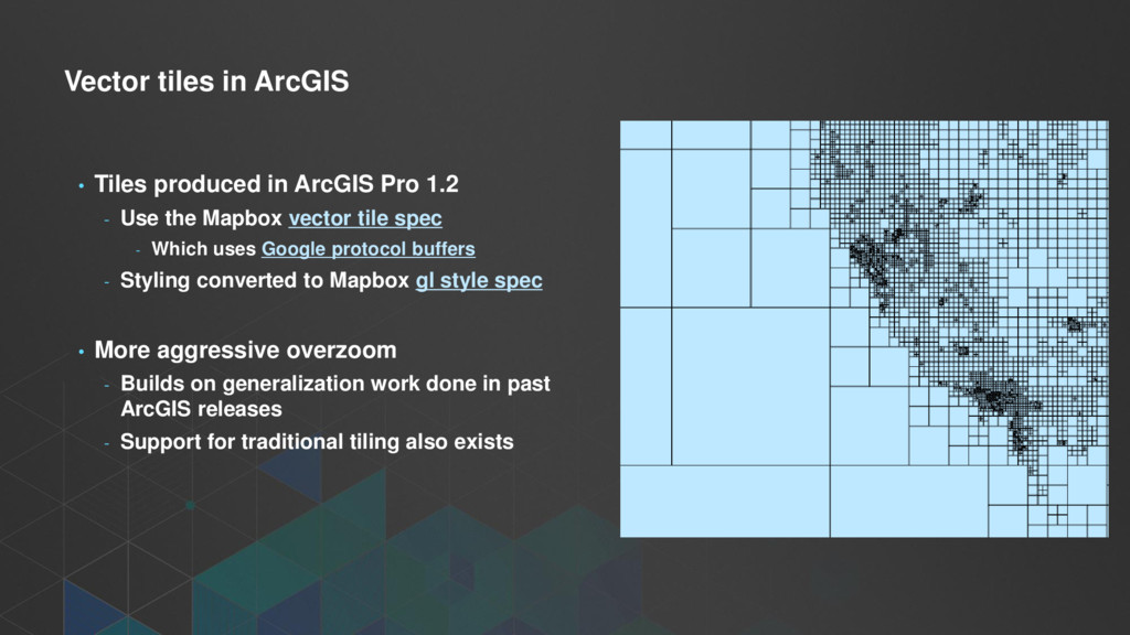
1.2 - Use the Mapbox vector tile spec - Which uses Google protocol buffers - Styling converted to Mapbox gl style spec • More aggressive overzoom - Builds on generalization work done in past ArcGIS releases - Support for traditional tiling also exists
buffers - Compact binary format for transferring data - Data is organized into layers of geometry with key/value pairs of attributes • A style file defines - The layer order - Definition query for each symbol layer - Symbol information for each symbol layer
8hrs on a desktop machine - Tiles ~ 13 GB - Multiple styles can use the same tiles • Compared to raster for the entire world - ~ many weeks on a server cluster per map style - Tiles ~ 20 TB
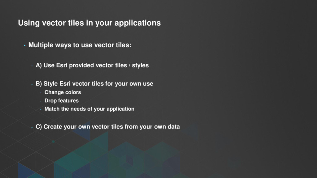
use vector tiles: - A) Use Esri provided vector tiles / styles - B) Style Esri vector tiles for your own use - Change colors - Drop features - Match the needs of your application - C) Create your own vector tiles from your own data
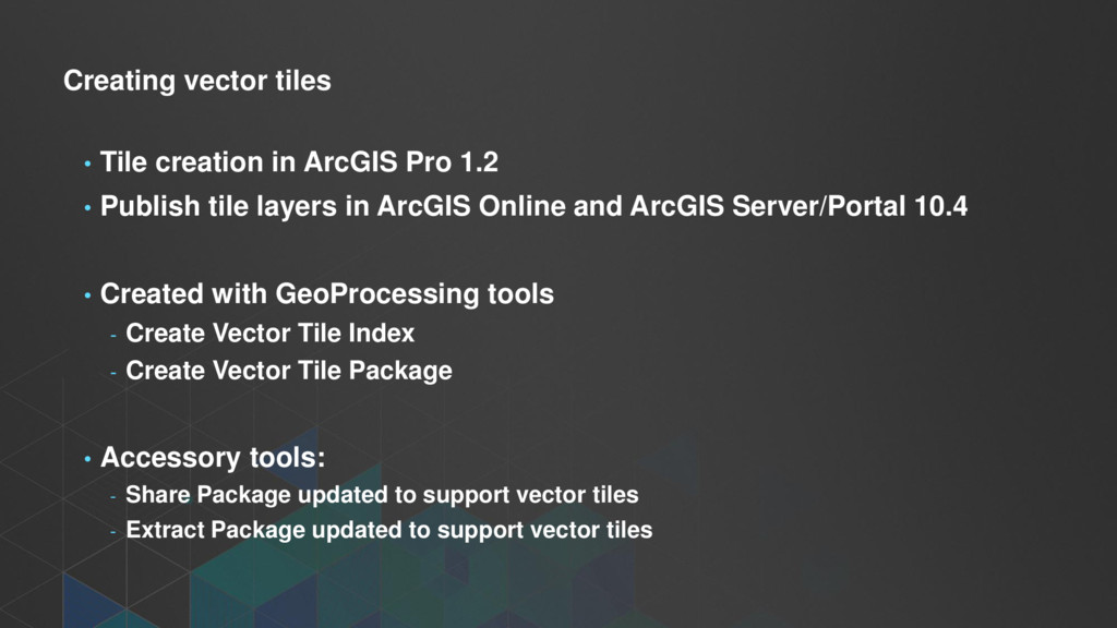
• Publish tile layers in ArcGIS Online and ArcGIS Server/Portal 10.4 • Created with GeoProcessing tools - Create Vector Tile Index - Create Vector Tile Package • Accessory tools: - Share Package updated to support vector tiles - Extract Package updated to support vector tiles
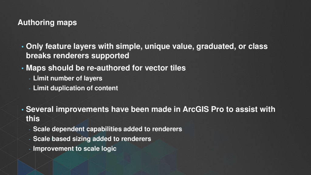
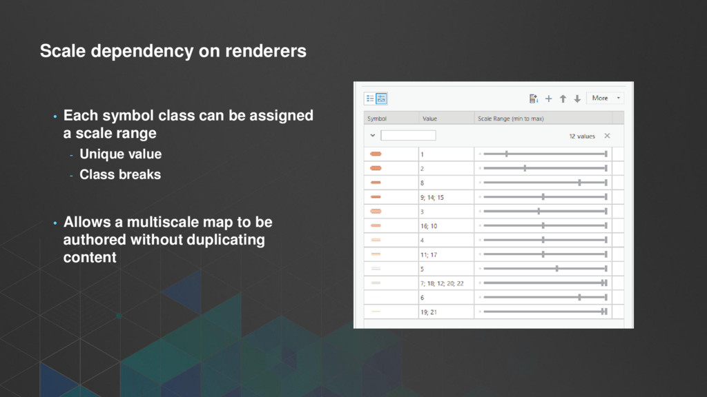
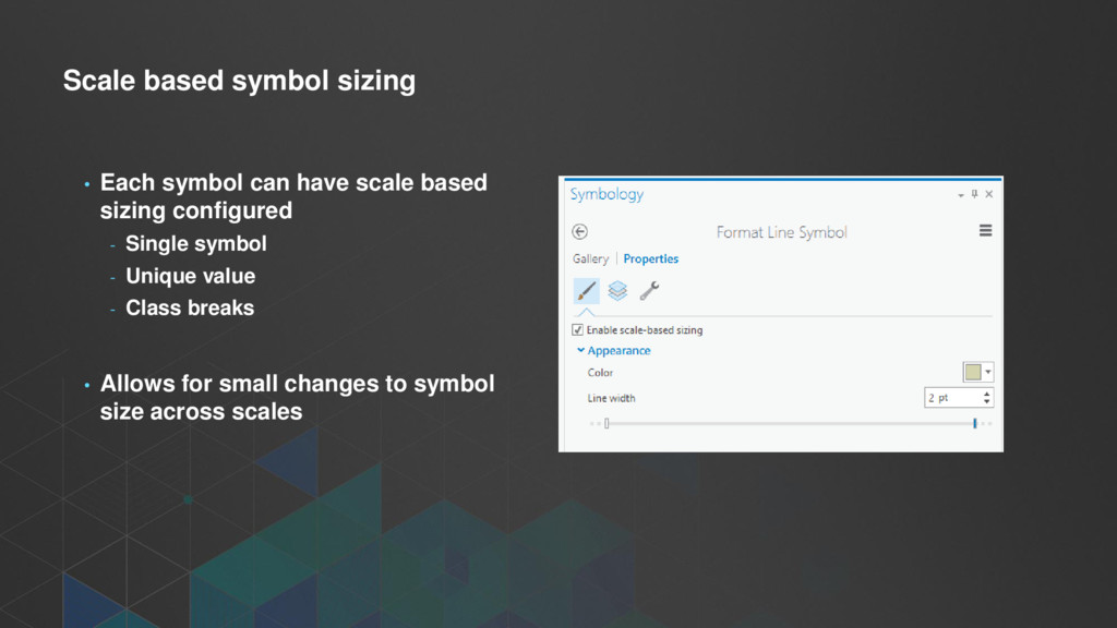
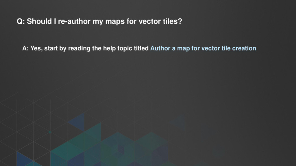
graduated, or class breaks renderers supported • Maps should be re-authored for vector tiles - Limit number of layers - Limit duplication of content • Several improvements have been made in ArcGIS Pro to assist with this - Scale dependent capabilities added to renderers - Scale based sizing added to renderers - Improvement to scale logic
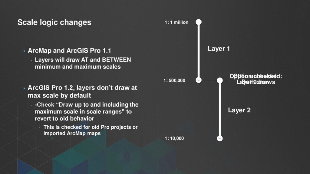
Layers will draw AT and BETWEEN minimum and maximum scales • ArcGIS Pro 1.2, layers don’t draw at max scale by default - -Check “Draw up to and including the maximum scale in scale ranges” to revert to old behavior - This is checked for old Pro projects or imported ArcMap maps 1: 1 million 1: 500,000 1: 10,000 Option checked: Both draw Option unchecked: Layer 2 draws Layer 1 Layer 2
A: Consider consuming clients and map requirements before committing to vector tiles. At this time, it’s not an answer for everything. Will never be a solution for many raster datasets.
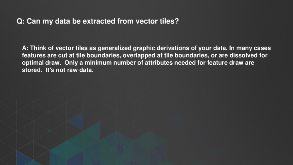
Think of vector tiles as generalized graphic derivations of your data. In many cases features are cut at tile boundaries, overlapped at tile boundaries, or are dissolved for optimal draw. Only a minimum number of attributes needed for feature draw are stored. It’s not raw data.
this a bug? A: You’re likely experiencing a problem with WebGL support in your browser. Ensure you have the latest driver for your video card from the driver manufacturer Do not rely on Windows Update on Windows machines for video drivers.
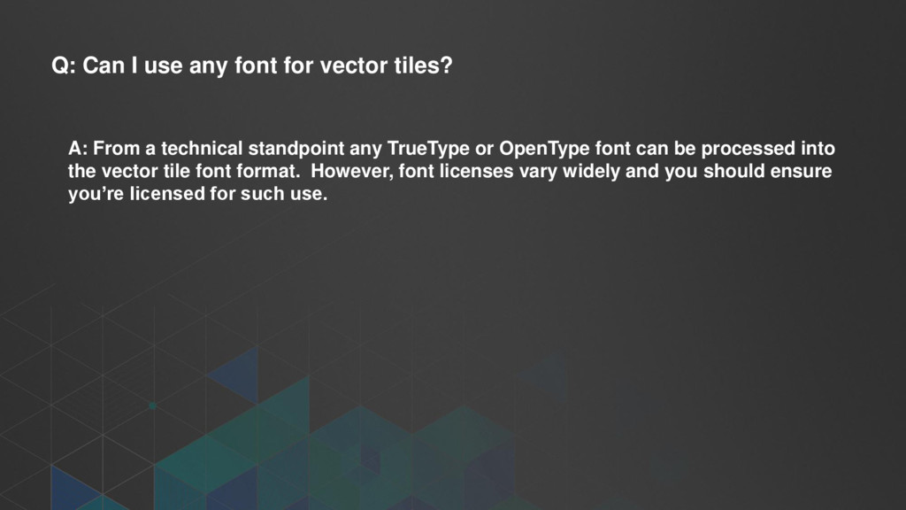
From a technical standpoint any TrueType or OpenType font can be processed into the vector tile font format. However, font licenses vary widely and you should ensure you’re licensed for such use.
at this time, the ArcGIS JavaScript API will replace the Esri vector tile basemap layers with the Streets raster tiles. Custom services will be dropped. We hope to support vector tiles in the print service in a future release.