Upgrade to Pro — share decks privately, control downloads, hide ads and more …

NACIS 2015 PCD: Vector Cartography in ArcGIS

NACIS 2015 PCD: Vector Cartography in ArcGIS

Vector Cartography in ArcGIS presented at the NACIS Annual Meeting at Practical Cartography Day. October 14, 2015

Craig Williams

October 14, 2015
Tweet

More Decks by Craig Williams

Other Decks in Technology

Transcript

  1. • ArcGIS Online • Focus on thematic mapping • Map

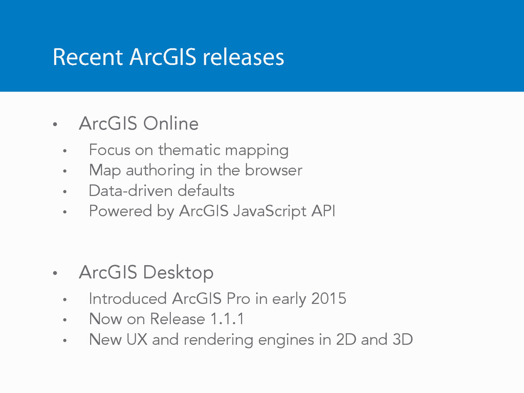
    authoring in the browser • Data-driven defaults • Powered by ArcGIS JavaScript API • ArcGIS Desktop • Introduced ArcGIS Pro in early 2015 • Now on Release 1.1.1 • New UX and rendering engines in 2D and 3D
  2. Near future • Continued synchronization of concepts across the platform

    (Online, Desktop, Mobile) • Thematic mapping • Labeling
  3. Near future • Continued synchronization of concepts across the platform

    (Online, Desktop, Mobile) • Thematic mapping • Labeling • Cross-cutting new development efforts • 3D • Vector tiles
  4. Why vector tiles? High DPI displays and… GPUs have changed

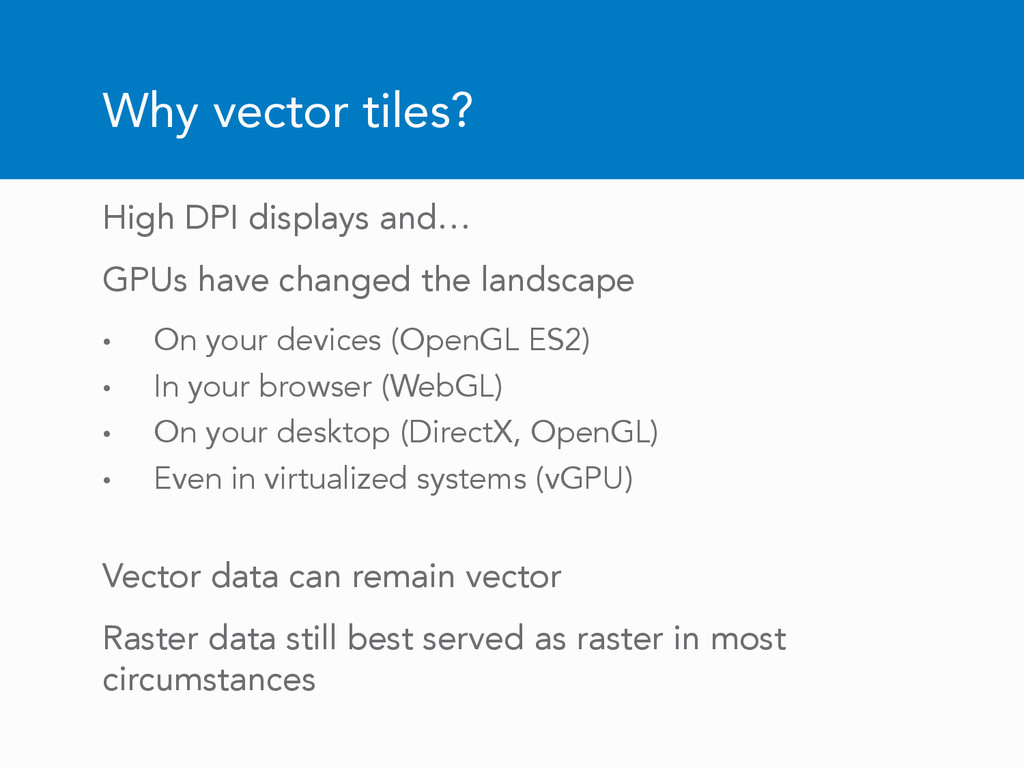
    the landscape • On your devices (OpenGL ES2) • In your browser (WebGL) • On your desktop (DirectX, OpenGL) • Even in virtualized systems (vGPU) Vector data can remain vector Raster data still best served as raster in most circumstances
  5. Advantages of vector tiles • Display Quality - Best possible

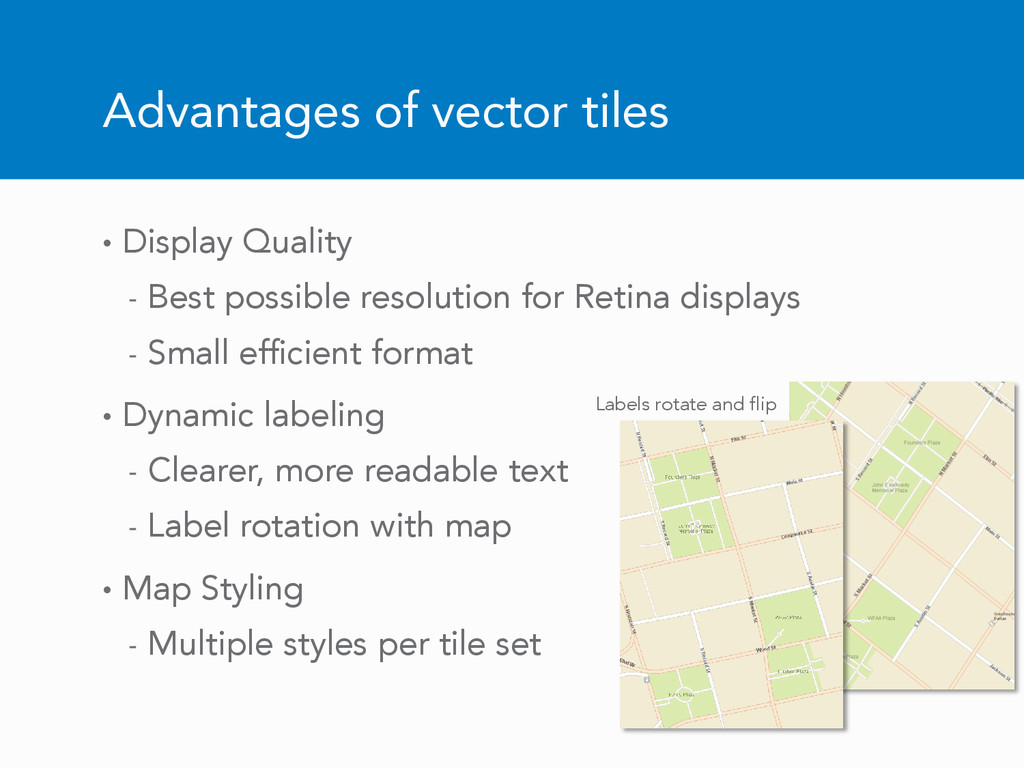
    resolution for Retina displays - Small efficient format • Dynamic labeling - Clearer, more readable text - Label rotation with map • Map Styling - Multiple styles per tile set Labels rotate and flip
  6. Vector tiles in ArcGIS Tiles produced in ArcGIS Pro (1.2)

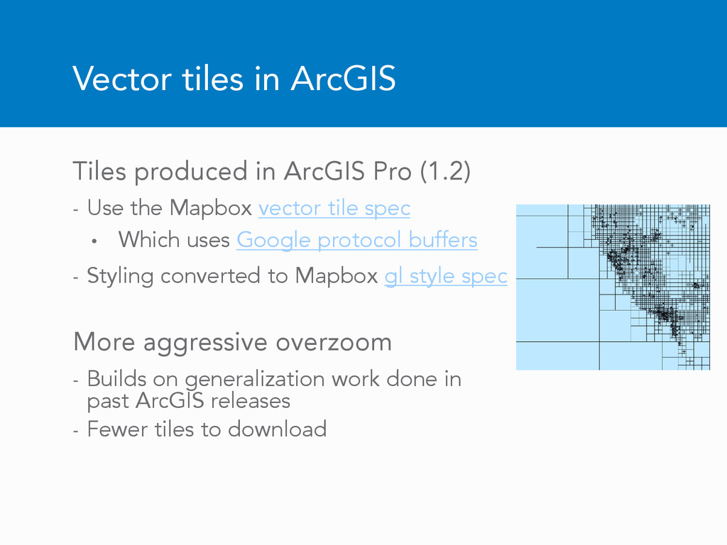
    - Use the Mapbox vector tile spec • Which uses Google protocol buffers - Styling converted to Mapbox gl style spec More aggressive overzoom - Builds on generalization work done in past ArcGIS releases - Fewer tiles to download
  7. Tile creation (entire world, all LODs) • Vector tiles -

    ~ 8hrs on a desktop machine - Tiles ~ 13 GB - Styles share tiles • Compared to raster - ~ many weeks on a server cluster per map style - Tiles ~ 20 TB
  8. Planned ArcGIS vector tiles roadmap • Preview of vector tiles

    released back in July • Tile creation in ArcGIS Pro 1.2 (early 2016) • Services in ArcGIS Online and ArcGIS Server 10.4 (early 2016)
  9. Planned roadmap continued Tile consumption: - ArcGIS Runtime Quartz –

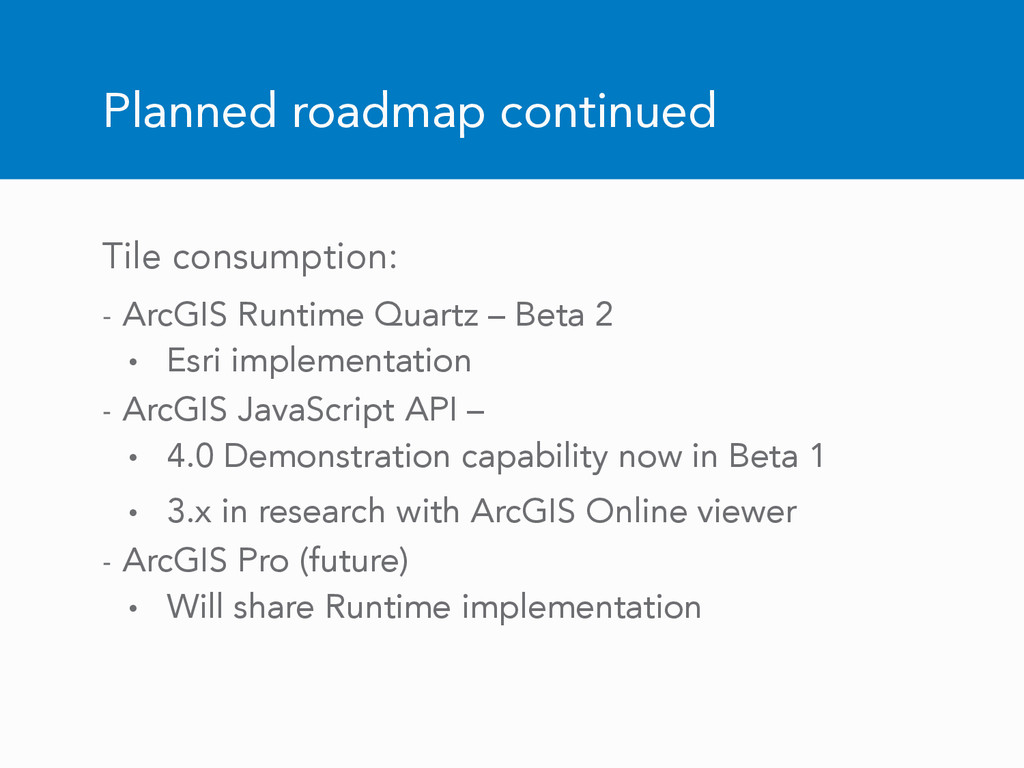
    Beta 2 • Esri implementation - ArcGIS JavaScript API – • 4.0 Demonstration capability now in Beta 1 • 3.x in research with ArcGIS Online viewer - ArcGIS Pro (future) • Will share Runtime implementation
  10. JavaScript ArcGIS Runtime: Android iOS OS X .NET (Windows, Windows

    Phone) Qt (Windows, Linux, Android, and iOS) Xamarin (Windows, iOS, and Android)