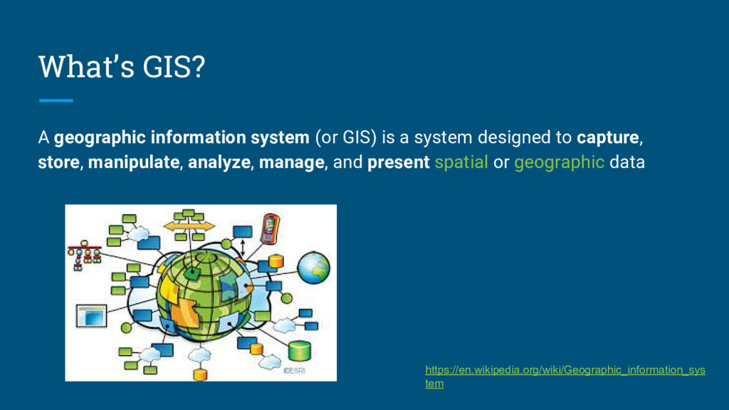
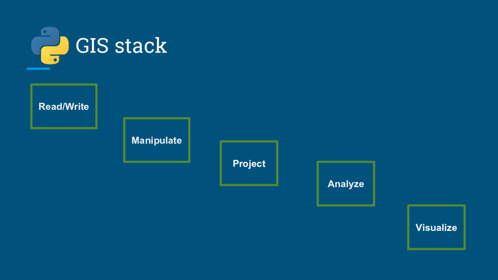
system designed to capture, store, manipulate, analyze, manage, and present spatial or geographic data https://en.wikipedia.org/wiki/Geographic_information_sys tem
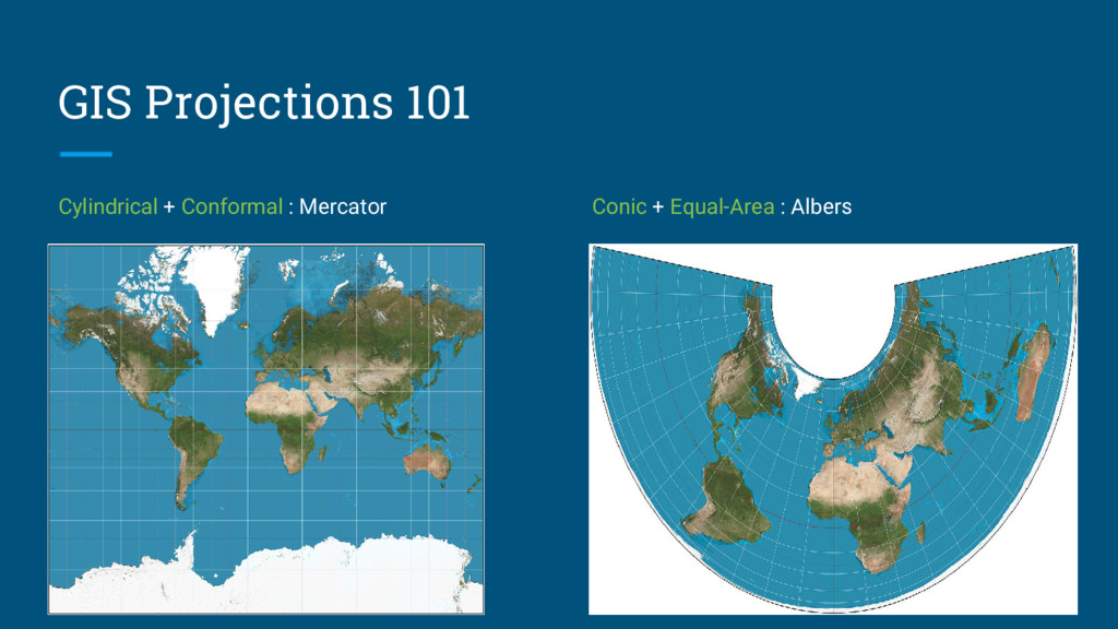
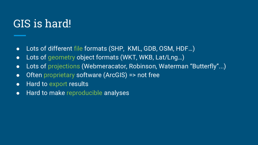
KML, GDB, OSM, HDF…) • Lots of geometry object formats (WKT, WKB, Lat/Lng…) • Lots of projections (Webmeracator, Robinson, Waterman “Butterfly”...) • Often proprietary software (ArcGIS) => not free • Hard to export results • Hard to make reproducible analyses
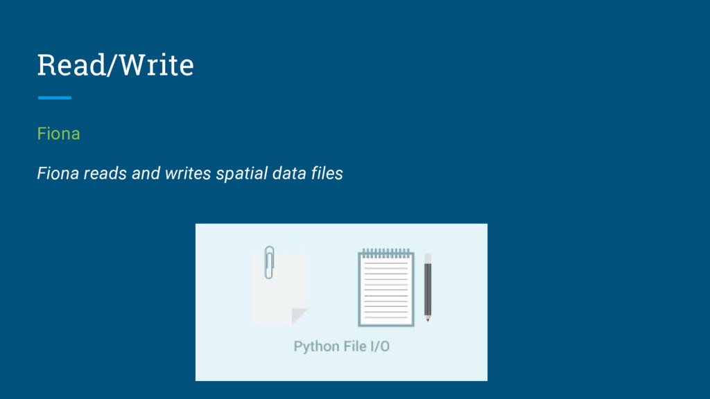
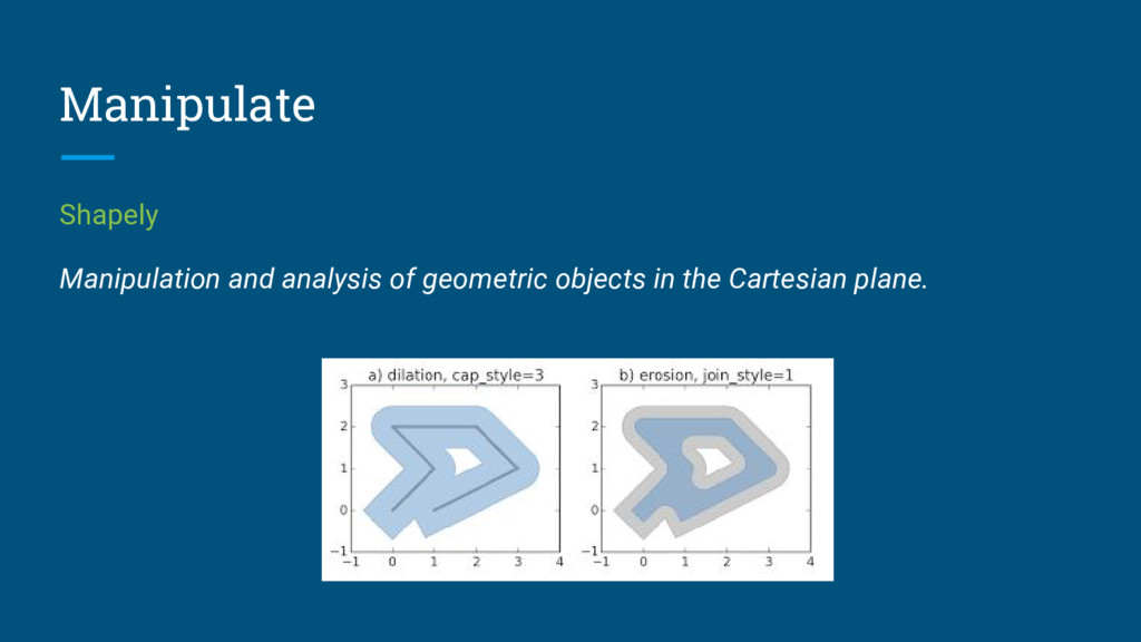
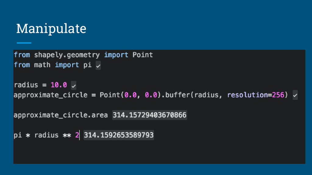
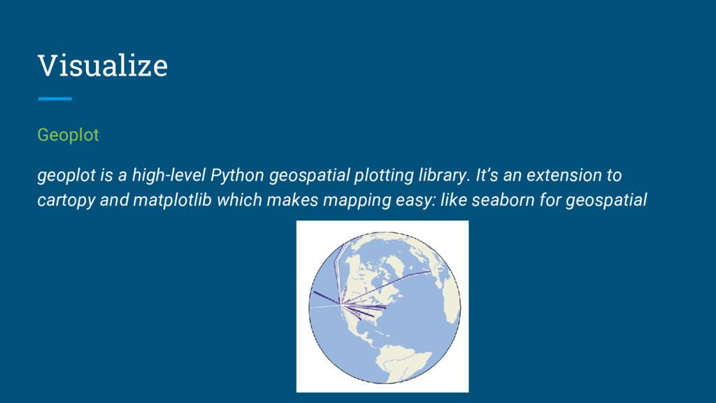
https://pypi.python.org/pypi/Fiona ◦ https://pypi.python.org/pypi/Shapely ◦ https://github.com/jswhit/pyproj ◦ https://github.com/geopandas/geopandas ◦ https://github.com/ResidentMario/geoplot • A nice GIS notebook analyzing Airbnb data • A video presentation of the Geospatial Python tools • A StackOverflow answer with an exhaustive list of Python GIS libraries. • Different world maps: http://www.naturalearthdata.com/ • OSM data: http://openstreetmapdata.com/data/land-polygons • Live demo code is here