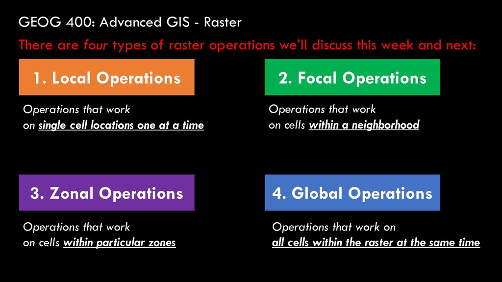
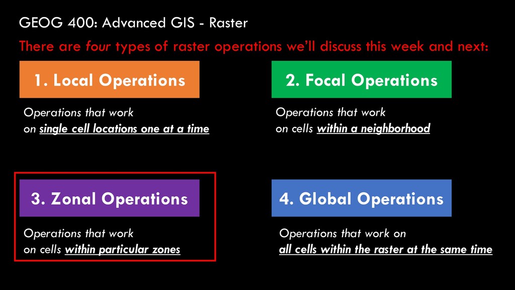
Global Operations 2. Focal Operations 3. Zonal Operations There are four types of raster operations we’ll discuss this week and next: Operations that work on single cell locations one at a time Operations that work on cells within a neighborhood Operations that work on cells within particular zones Operations that work on all cells within the raster at the same time
Global Operations 2. Focal Operations 3. Zonal Operations There are four types of raster operations we’ll discuss this week and next: Operations that work on single cell locations one at a time Operations that work on cells within a neighborhood Operations that work on cells within particular zones Operations that work on all cells within the raster at the same time
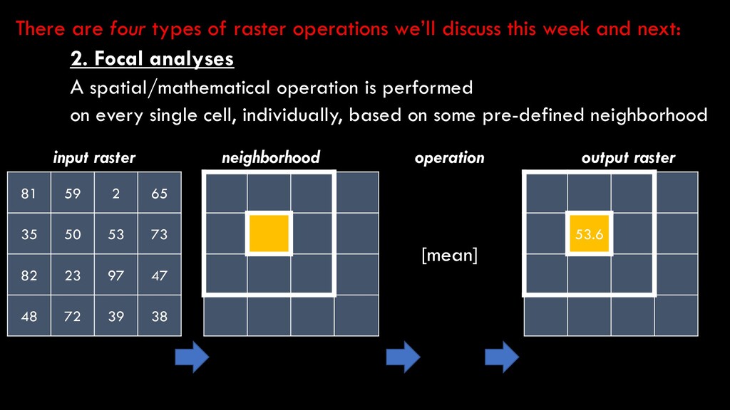
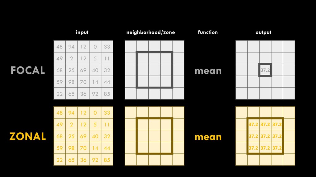
97 47 48 72 39 38 input raster operation [mean] output raster 53.6 neighborhood 2. Focal analyses A spatial/mathematical operation is performed on every single cell, individually, based on some pre-defined neighborhood There are four types of raster operations we’ll discuss this week and next:
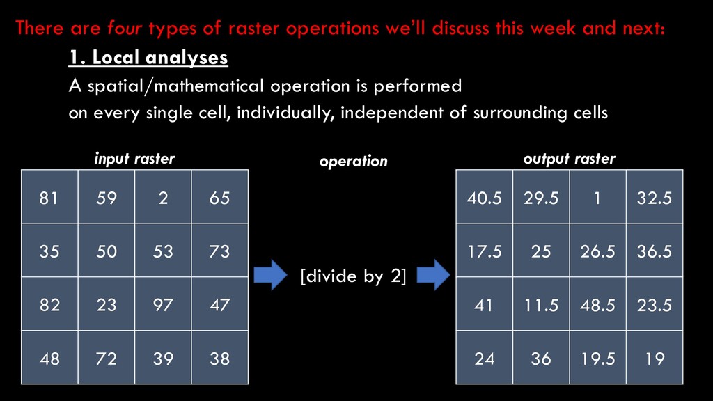
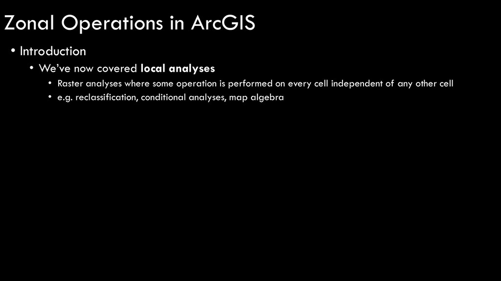
local analyses • Raster analyses where some operation is performed on every cell independent of any other cell • e.g. reclassification, conditional analyses, map algebra
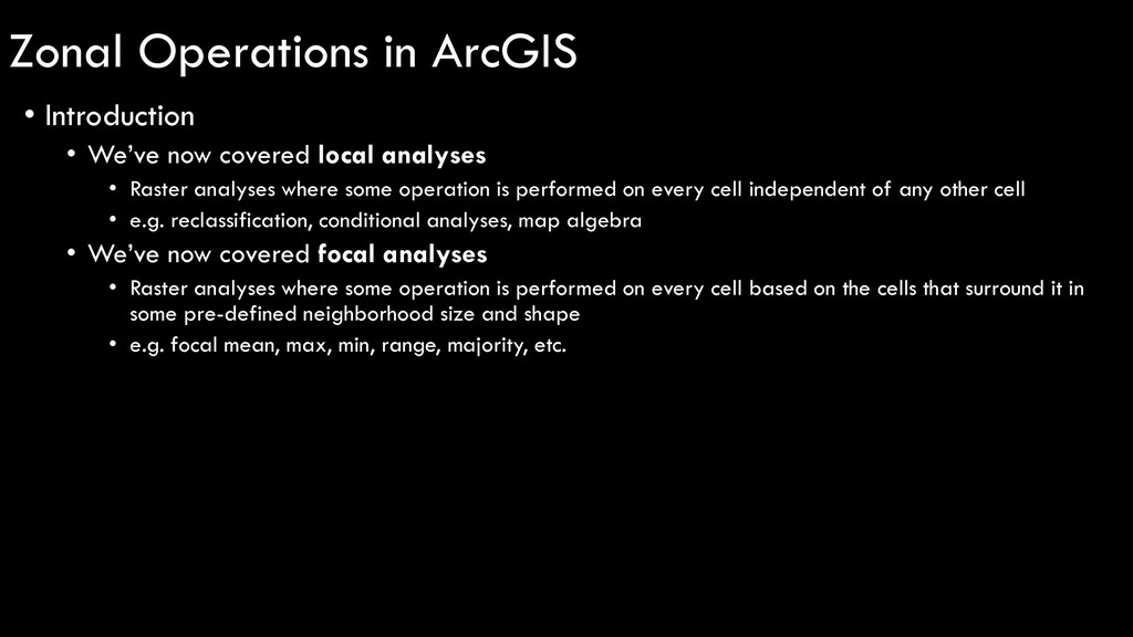
local analyses • Raster analyses where some operation is performed on every cell independent of any other cell • e.g. reclassification, conditional analyses, map algebra • We’ve now covered focal analyses • Raster analyses where some operation is performed on every cell based on the cells that surround it in some pre-defined neighborhood size and shape • e.g. focal mean, max, min, range, majority, etc.
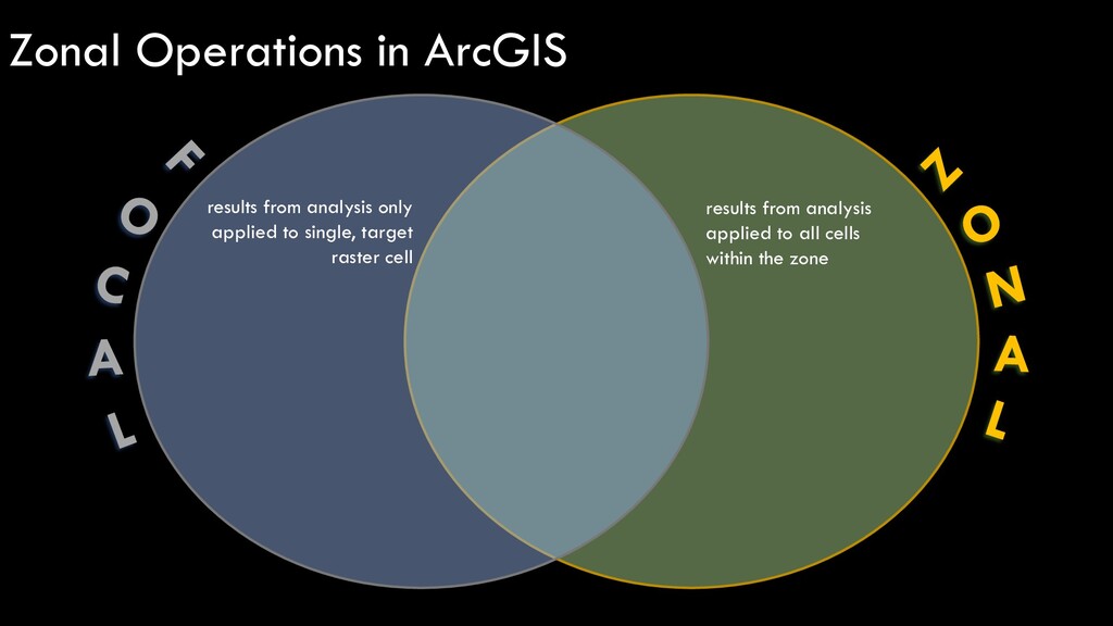
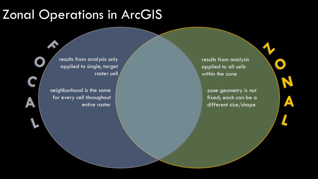
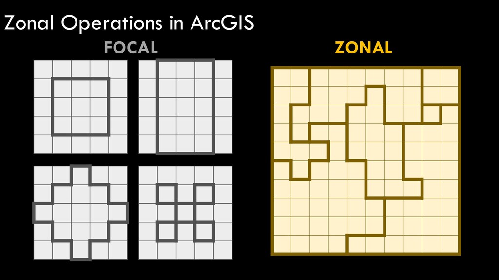
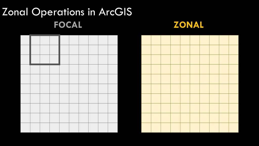
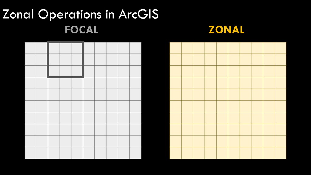
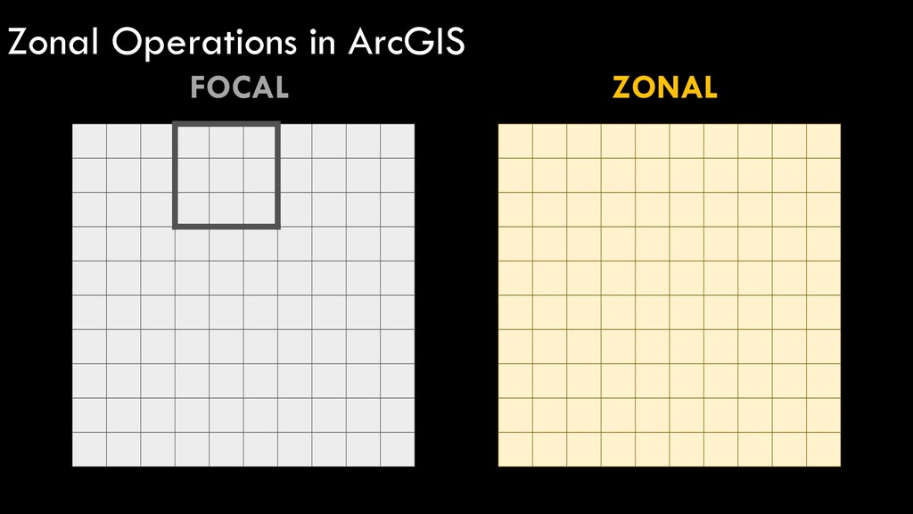
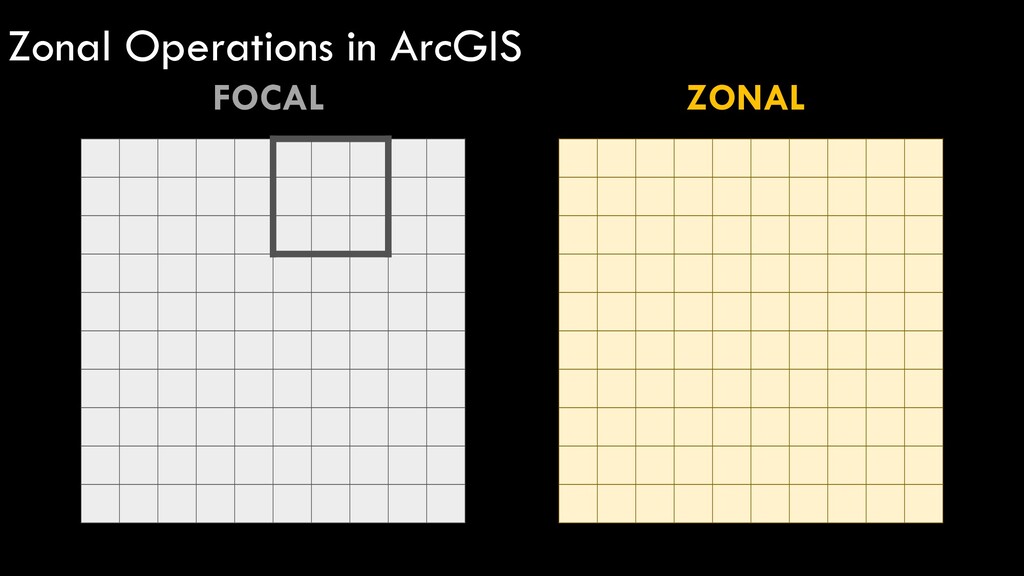
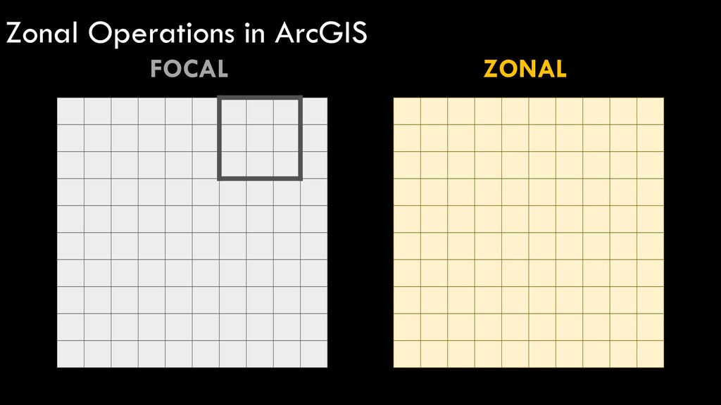
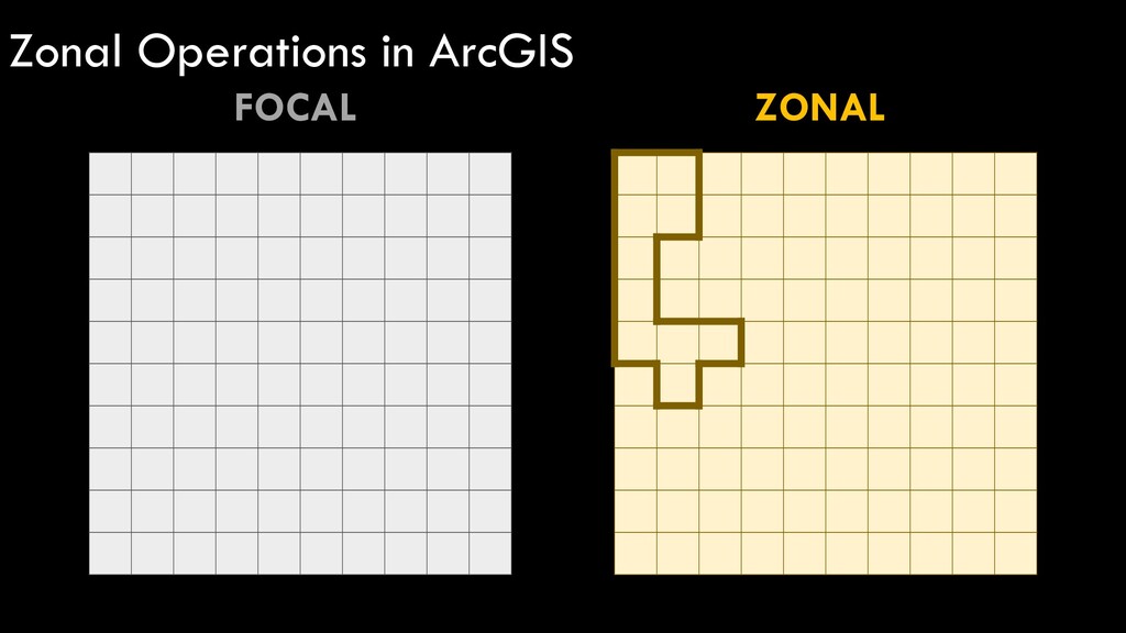
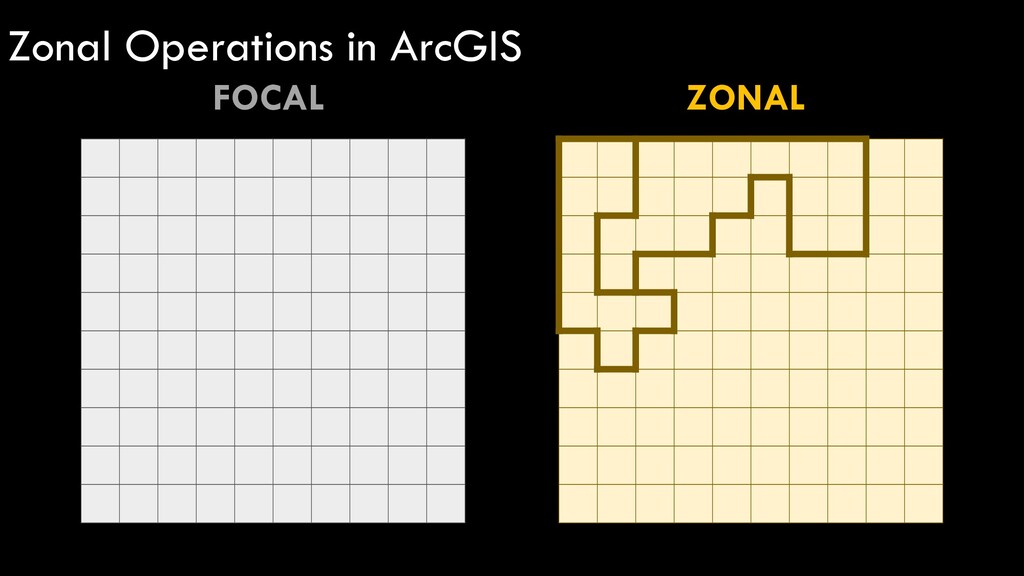
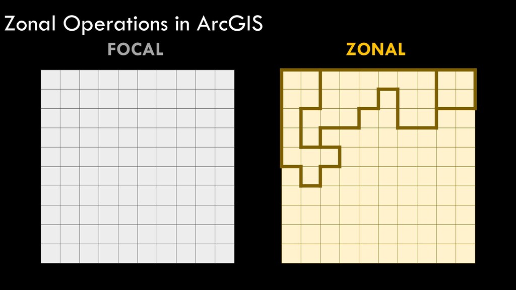
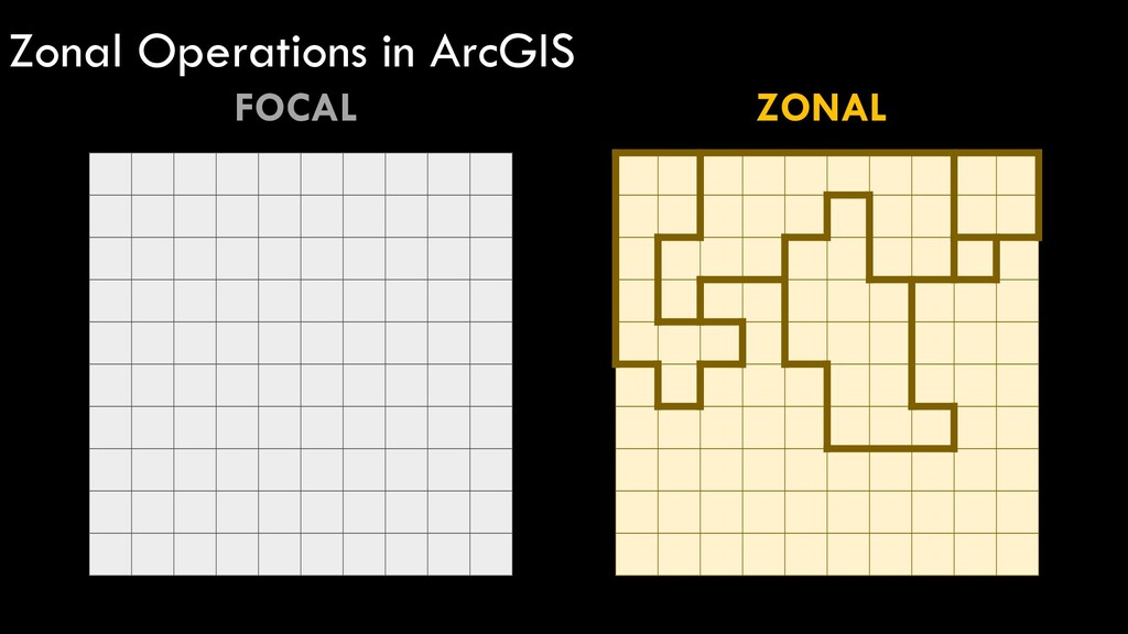
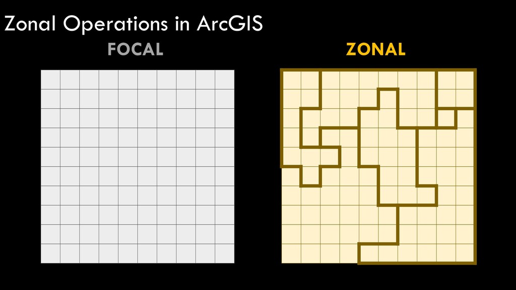
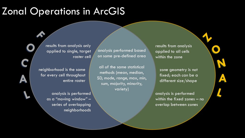
results from analysis applied to all cells within the zone Zonal Operations in ArcGIS neighborhood is the same for every cell throughout entire raster zone geometry is not fixed; each can be a different size/shape
results from analysis applied to all cells within the zone Zonal Operations in ArcGIS neighborhood is the same for every cell throughout entire raster zone geometry is not fixed; each can be a different size/shape analysis is performed as a “moving window” – series of overlapping neighborhoods analysis is performed within the fixed zones – no overlap between zones
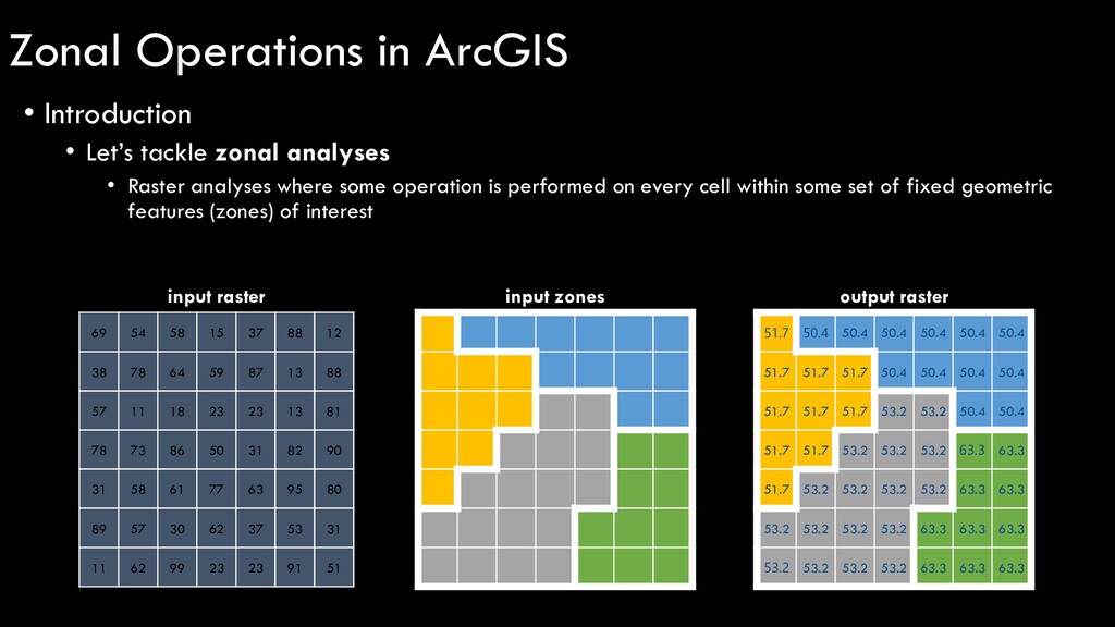
results from analysis applied to all cells within the zone Zonal Operations in ArcGIS neighborhood is the same for every cell throughout entire raster zone geometry is not fixed; each can be a different size/shape analysis is performed as a “moving window” – series of overlapping neighborhoods analysis is performed within the fixed zones – no overlap between zones analysis performed based on some pre-defined area all of the same statistical methods (mean, median, SD, mode, range, max, min, sum, majority, minority, variety)
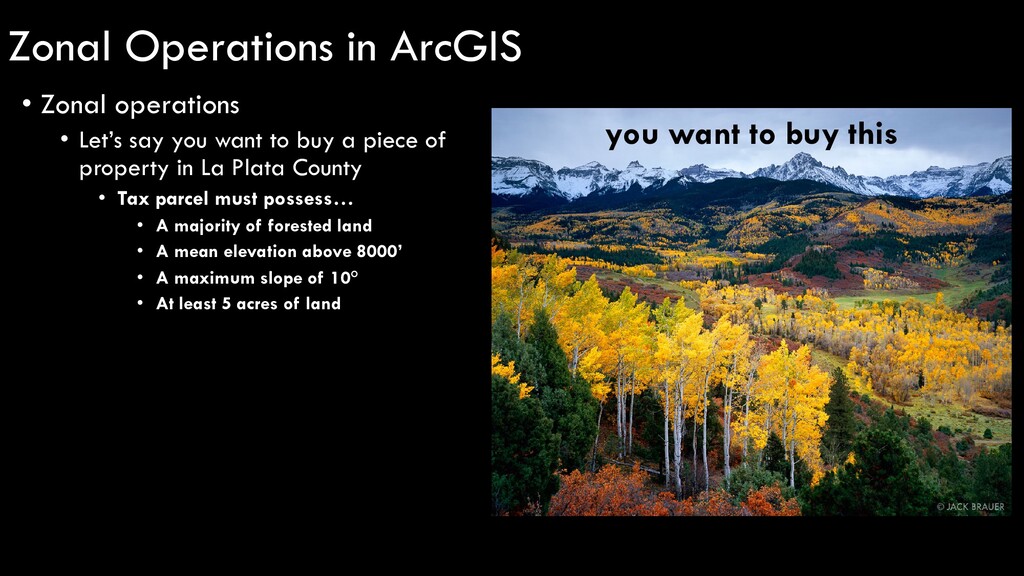
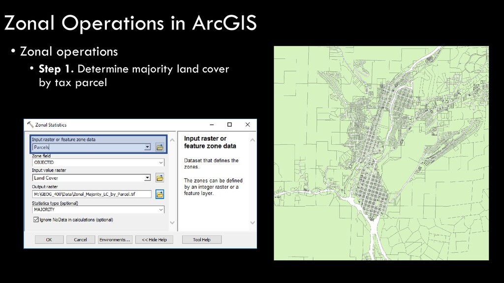
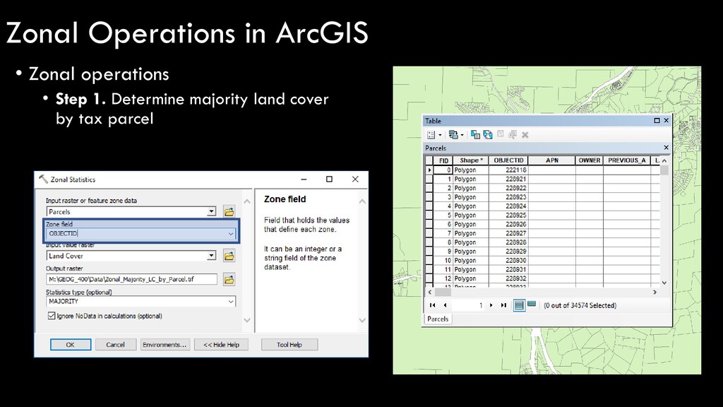
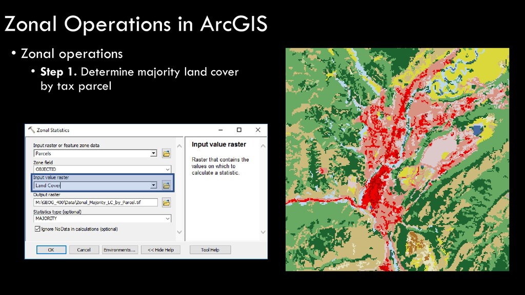
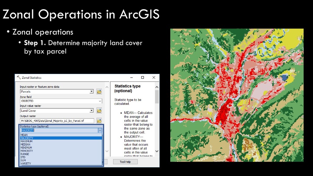
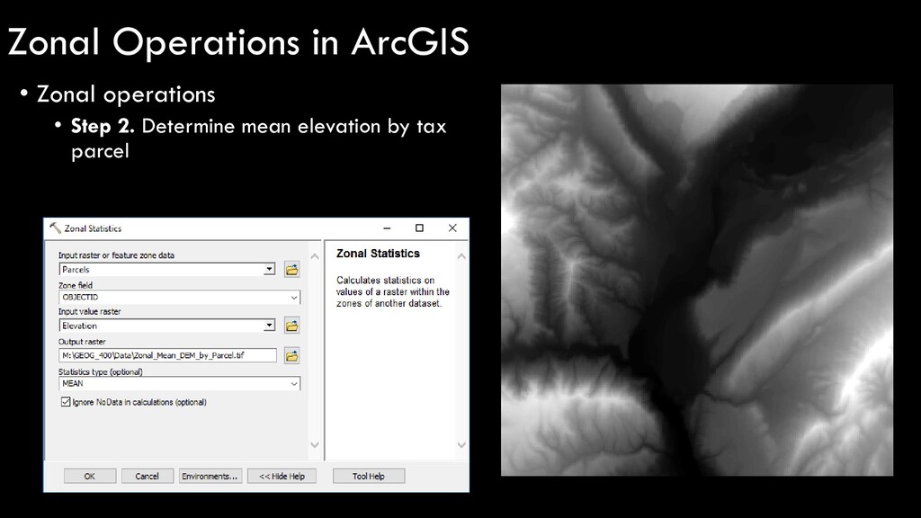
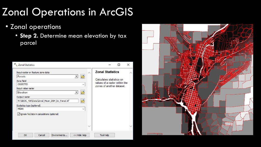
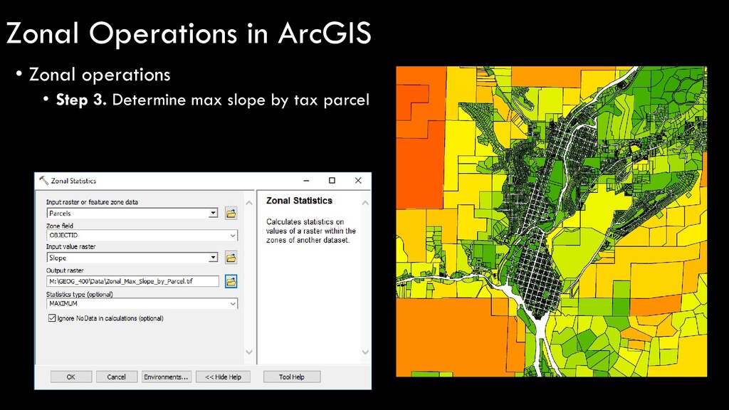
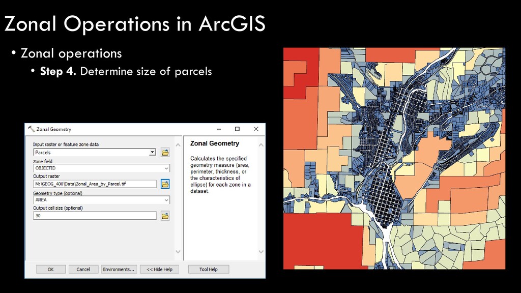
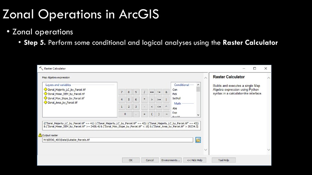
a piece of property in La Plata County • Tax parcel must possess… • A majority of forested land • A mean elevation above 8000’ • A maximum slope of 10° • At least 5 acres of land you want to buy this Zonal Operations in ArcGIS
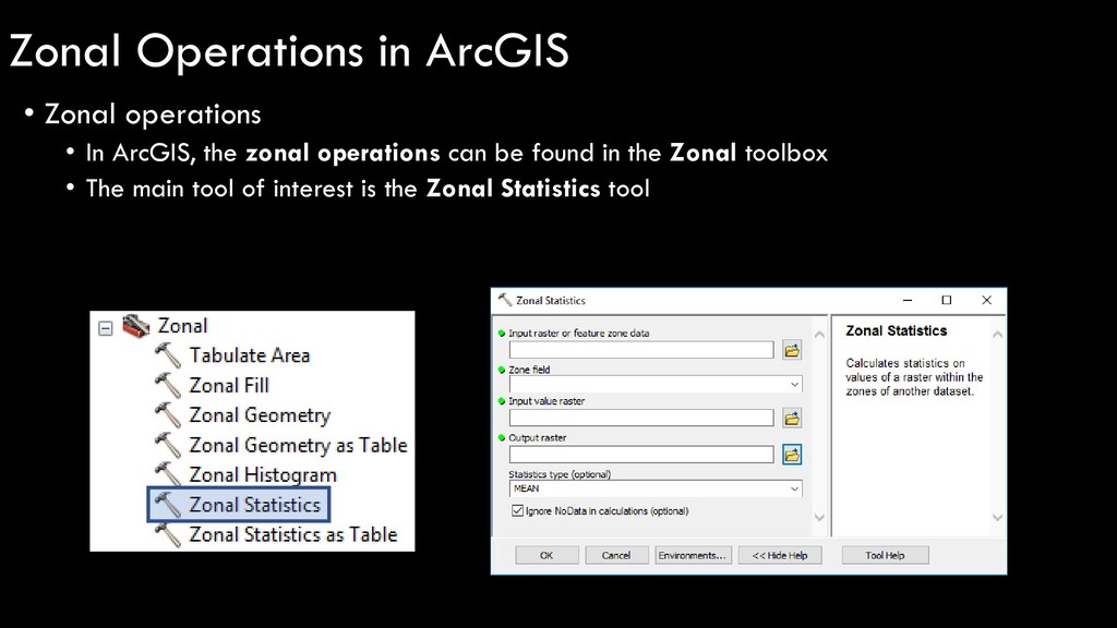
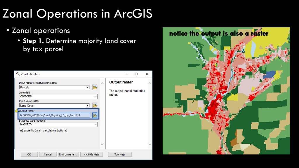
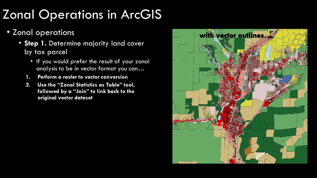
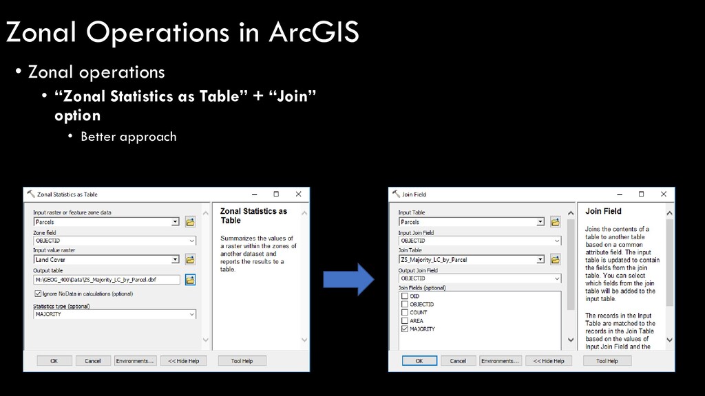
by tax parcel • If you would prefer the result of your zonal analysis to be in vector format you can… 1. Perform a raster to vector conversion 2. Use the “Zonal Statistics as Table” tool, followed by a “Join” to link back to the original vector dataset Zonal Operations in ArcGIS
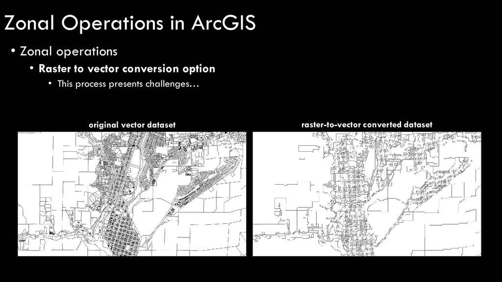
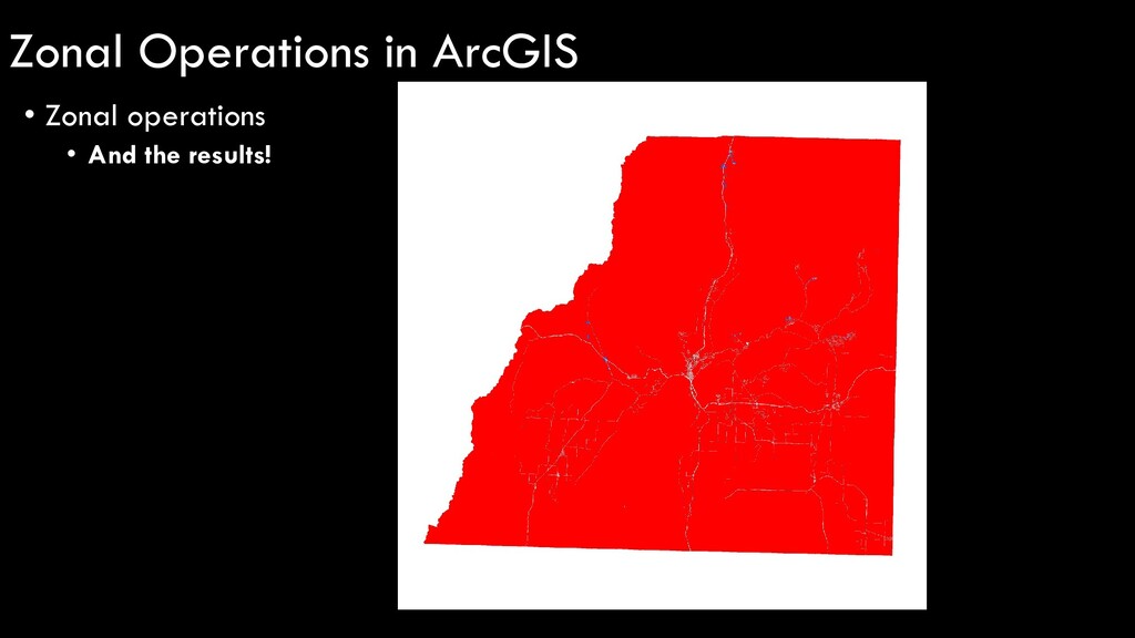
option • Better approach • Results… Much nicer. sidenote: notice all of the “NoData” values (empty parcels) – this is because the raster resolution (NLCD = 30m) is larger than the parcel, therefore no value is given… something to keep in mind! Zonal Operations in ArcGIS