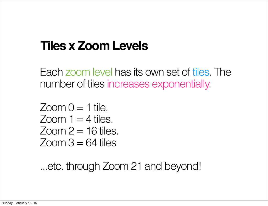
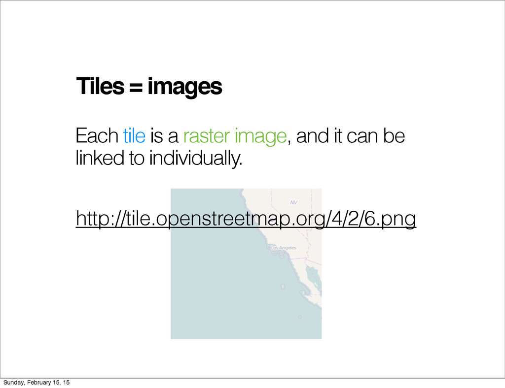
set of tiles. The number of tiles increases exponentially. Zoom 0 = 1 tile. Zoom 1 = 4 tiles. Zoom 2 = 16 tiles. Zoom 3 = 64 tiles ...etc. through Zoom 21 and beyond! Sunday, February 15, 15
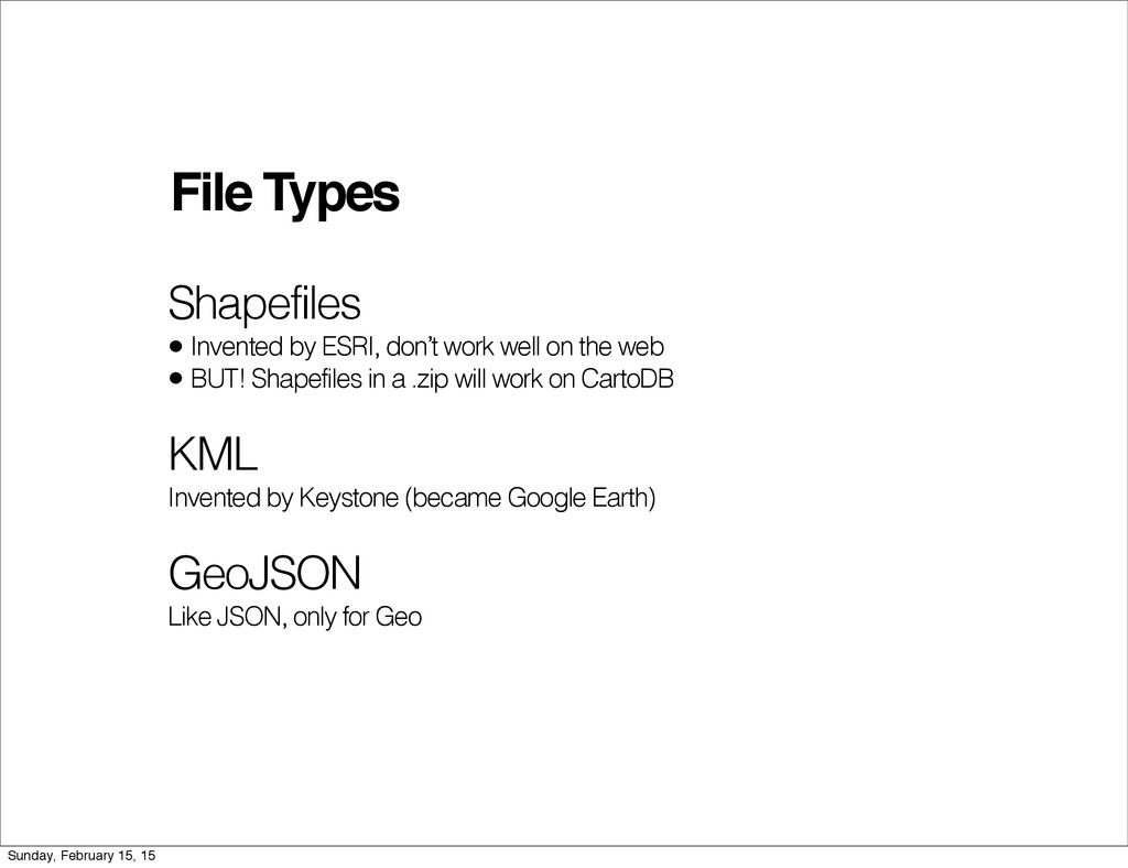
on the web • BUT! Shapefiles in a .zip will work on CartoDB KML Invented by Keystone (became Google Earth) GeoJSON Like JSON, only for Geo Sunday, February 15, 15
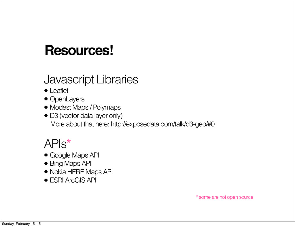
/ Polymaps • D3 (vector data layer only) More about that here: http://exposedata.com/talk/d3-geo/#0 APIs* • Google Maps API • Bing Maps API • Nokia HERE Maps API • ESRI ArcGIS API * some are not open source Sunday, February 15, 15
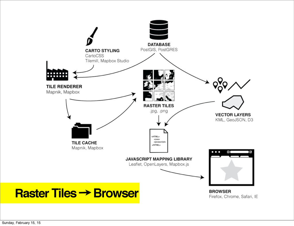
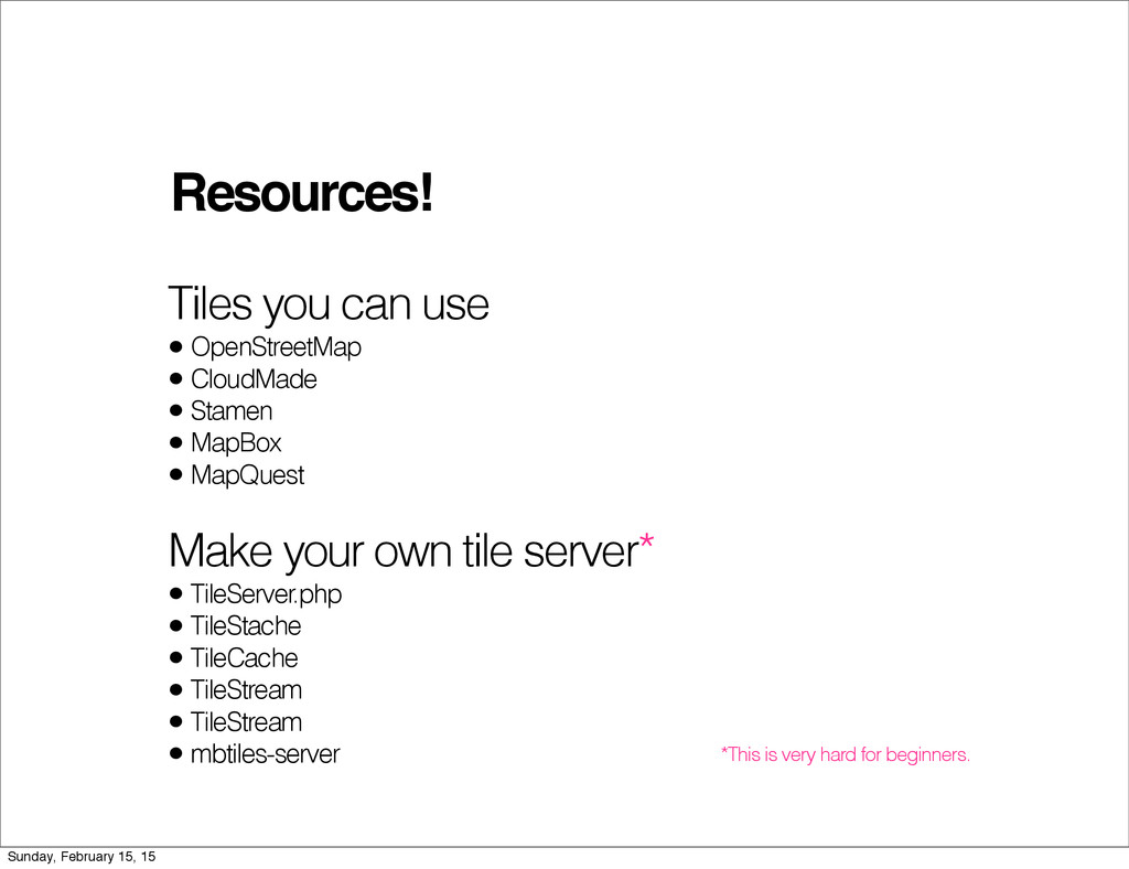
Stamen • MapBox • MapQuest Make your own tile server* • TileServer.php • TileStache • TileCache • TileStream • TileStream • mbtiles-server *This is very hard for beginners. Sunday, February 15, 15
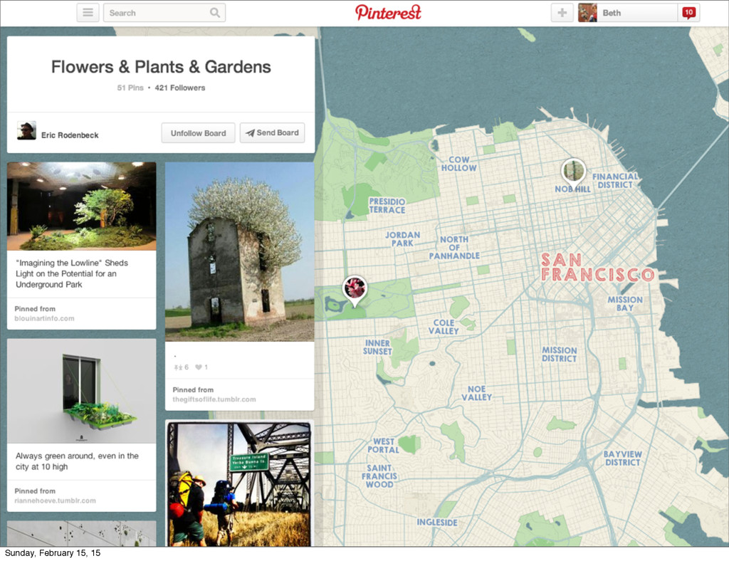
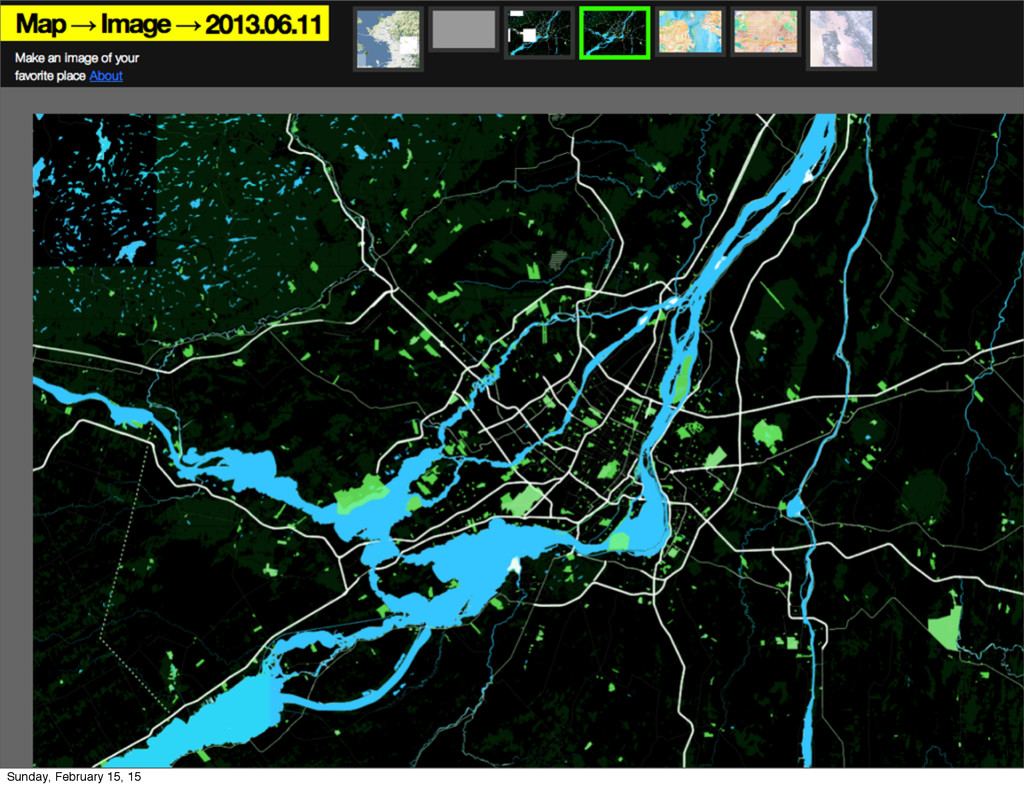
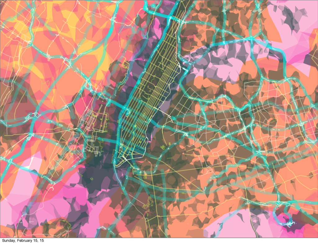
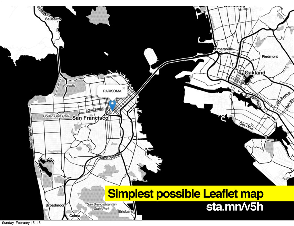
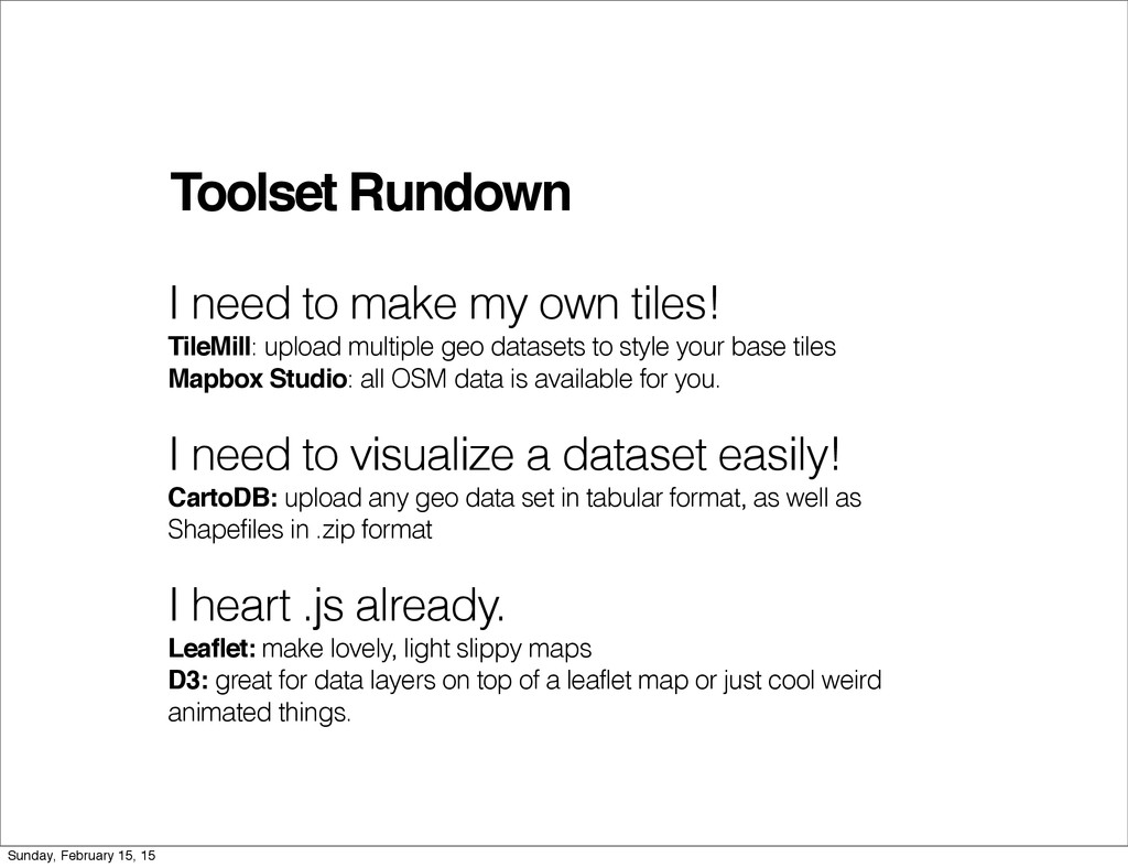
upload multiple geo datasets to style your base tiles Mapbox Studio: all OSM data is available for you. I need to visualize a dataset easily! CartoDB: upload any geo data set in tabular format, as well as Shapefiles in .zip format I heart .js already. Leaflet: make lovely, light slippy maps D3: great for data layers on top of a leaflet map or just cool weird animated things. Sunday, February 15, 15