possible constraints to adoption or use? Which constraints are binding? Examples: labor, credit, risk preferences Our original question: does distance to input dealers affect adoption of improved maize seeds? (IFPRI) 2 / 9
to cell phone users in most developing countries around the world Pros: easy access to subjects, cheaper than using enumerators, rapid turnaround time, relatively "clean" data Cons: heavy reliance multiple choice questions, strict formatting guidelines, poor geographic targeting, very simplistic skip logic patterns, tough to verify (discuss) (could we have followed up the survey with a phone call? can we call the ones that are weird outliers and ask some questions?) (IFPRI) 3 / 9
the admin2 level they also provide the number of users from which they sample at the admin-1 and admin-2 level difficult to target the survey itself beyond admin1 level; say you wanted to target three specific districts in Tanzania, and sample 500 people from within only those three districts, it may not be possible (IFPRI) 4 / 9
questions were very restrictive and quite challenging. questions must be 160 characters or less there is a suggested maximum length of 14 questions, but geopoll must ask the age of the respondent for ethical reasons can skip questions, but only in the most simplistic way (IFPRI) 5 / 9
the questions in a way that would be easily interpreted by the end user. Rectify by doing more testing to see what kind of (wrong) responses we should anticipate before rolling out on a larger scale. For example: take 10 test responses from each region, and see what they look like, digest them for a few days. Also could get coworkers, friends and others to try taking the survey and see what comments they come up with. another cool thing is that its easy to roll out a follow-up survey (IFPRI) 6 / 9
data which we received? Well, we can match up our new data and compare the results we get to the results of the 2007/2008 Agricultural Census. Obviously things have changed over time, but we can see if they are in the same ballpark. We should take note if we see variables which have means which are orders of magnitude different from their previous estimates (would be good to look at standard deviations also) We can check first along a few basic dimensions: gender ratio age mean and distribution, education mean and distribution By doing this comparison we can see how well the sms data is capturing the population, and perhaps discern whether the self-selection issue (selecting in to having a phone) is of major concern. (IFPRI) 7 / 9
Is the source of the seed different for different regions? Do respondents with high school education or higher purchase seeds more or do they save their seeds? These are the type of questions that can help us to start to unravel the issue of why farmers do not take advantage of improved seeds. (IFPRI) 8 / 9
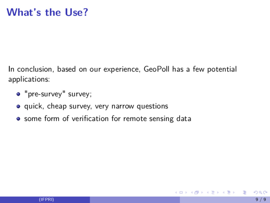
has a few potential applications: "pre-survey" survey; quick, cheap survey, very narrow questions some form of verification for remote sensing data (IFPRI) 9 / 9