Project Overview & Lessons Learned Presented by Thomas Hertel Purdue University ! ! Presentation at the GEOSHARE Workshop, Purdue University Wednesday, September 10, 2014
UK Chief Scientist, initiated a project on “The Future of Sustainable Farming” – Modeling teams spent 95% of their time building geospatial data to underpin analyses, leaving: • Very little time and resources for modeling and analysis • Results which were fundamentally non-comparable – Precipitated a UK-funded White Paper (Hertel, Villoria et al., 2010) documenting the limitations of existing time series geospatial data for analyses of food and environment security and proposing GEOSHARE
concluded that, despite the many geospatial efforts underway at the time, there we critical limitations holding back discovery and decision making. In particular, most such data sets: • Are regional or national, not global; yet some of the most pressing problems are global in scope • The global (and many regional) data sets are one-off & incompatible: causes problems of inconsistency; nearly impossible to resolve at end of data pipeline; compatibility must be designed at outset • Present high barriers to entry for those outside the geospatial sciences – As a result, UK-DFID, DEFRA and USDA stepped forward to fund a pilot project aimed at demonstrating ‘proof of concept’ which ran from 2012-2014
key elements: • Data base: begin building interoperable data base for land cover, land use and irrigation for Ghana and India • Develop several ‘case studies’ to illustrate the usefulness of these data • Review the available cyber-infrastructure for facilitating collaboration • Develop a proposal for the design of an institution which could sustain GEOSHARE over the long run and review the stakeholder landscape
key elements: • Data base: begin building interoperable data base for land cover, land use and irrigation for Ghana and India • Develop several ‘case studies’ to illustrate the usefulness of these data • Review the available cyber-infrastructure for facilitating collaboration • Develop a proposal for the design of an institution which could sustain GEOSHARE over the long run and review the stakeholder landscape – Extension of the pilot to encompass HUBZero • Initial pilot did not include funds for development of cyber- infrastructure • However, it became clear that development of workflows were key to engaging scientists and decision makers • ILSI Research Foundation stepped forward to fund the development of several such workflows over the past year (along with support from ITAP)
land cover & use, water, poverty and environment - flows into: • Data reconciliation ‘models’, e.g. SPAM which produce usable data - for use in • Biophysical and economic models (e.g., DSSAT, IMPACT, SIMPLE, GTAP) Sensitivity of results at final stage determines value of improving quality of source data Source Data Land Cover Data Reconciliation SPAM; Data Fusion Water Poverty Land Use Environment DSSAT IMPACT
a matter of $$ • Centralized funding of decentralized activities is unworkable! • Cyber-infrastructure facilitates collaboration and dissemination; incentives are again key • Must link to user communities • Core activities must have stable, L-T support • Success will require achieving critical mass
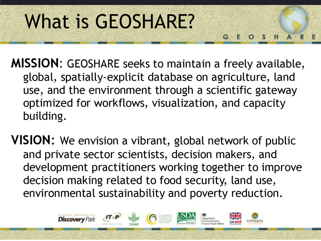
available, global, spatially-explicit database on agriculture, land use, and the environment through a scientific gateway optimized for workflows, visualization, and capacity building. VISION: We envision a vibrant, global network of public and private sector scientists, decision makers, and development practitioners working together to improve decision making related to food security, land use, environmental sustainability and poverty reduction.
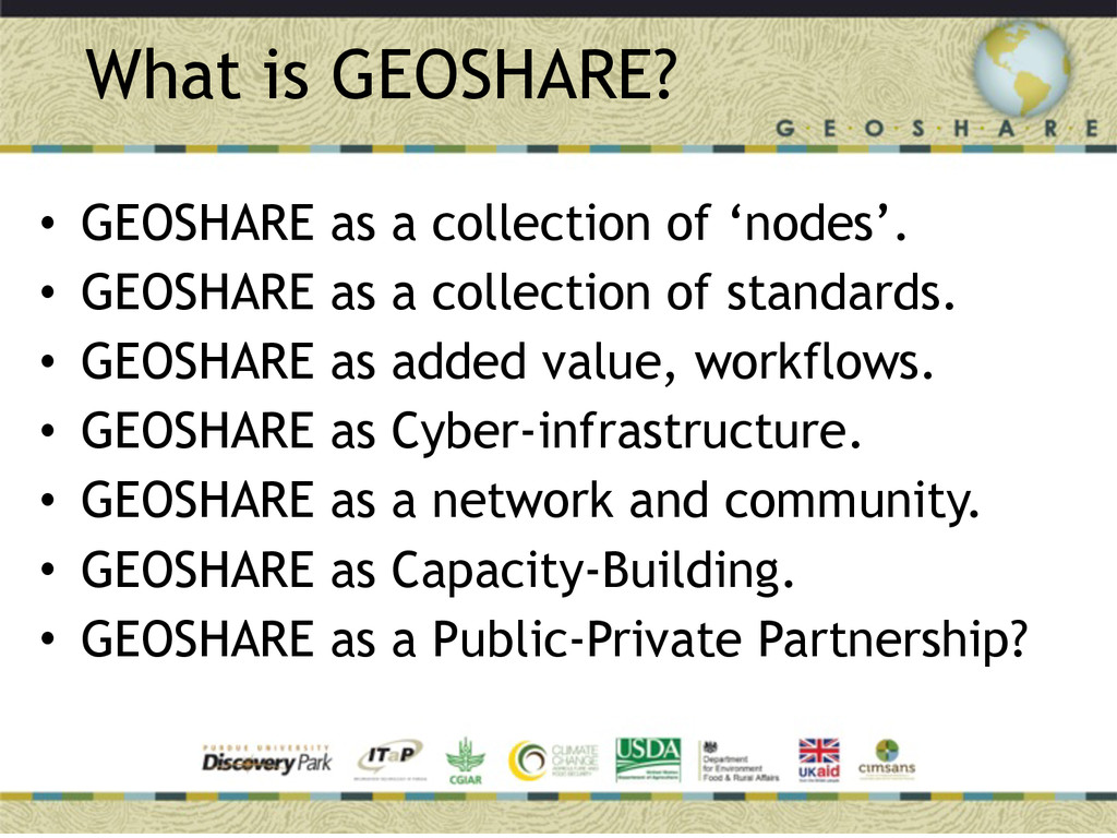
• GEOSHARE as a collection of standards. • GEOSHARE as added value, workflows. • GEOSHARE as Cyber-infrastructure. • GEOSHARE as a network and community. • GEOSHARE as Capacity-Building. • GEOSHARE as a Public-Private Partnership?