Upgrade to Pro — share decks privately, control downloads, hide ads and more …

Application of integrated QGIS system: an option to increase the visibility of geoscience research in ITB

Application of integrated QGIS system: an option to increase the visibility of geoscience research in ITB

Application of integrated QGIS system: an option to increase the visibility of geoscience research in ITB

Dasapta Erwin Irawan1, Fadli Ahmad Naufal1, and Ahmad Darul2

1Faculty of Earth Sciences and Technology, Institut Teknologi Bandung 2Faculty of Engineering, Institut Teknologi dan Sains Bandung, Bekasi

Abstract

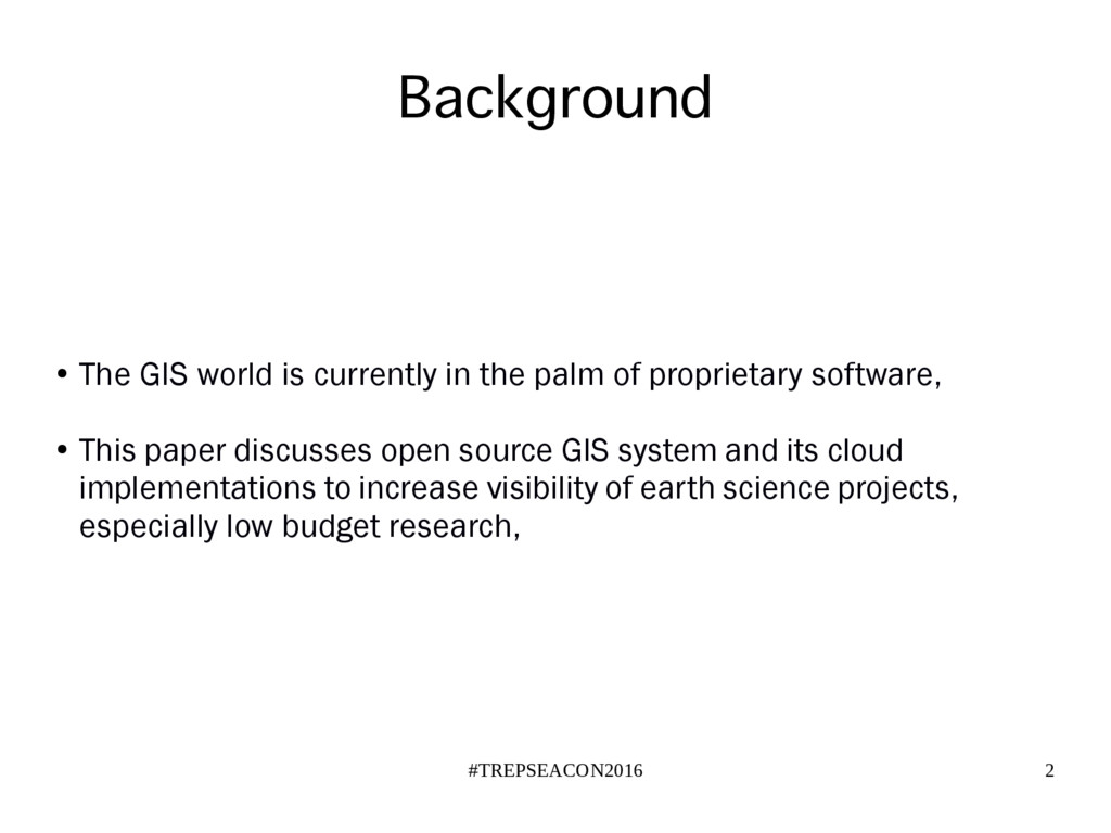
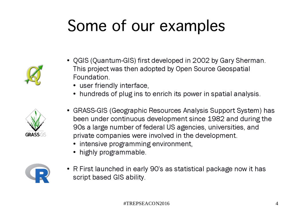
Introduction: The GIS world is currently in the palm of ESRI, with their sophisticated and yet expensive software for most countries. This paper discusses QGIS that has been first developed since 2002 by Gary Sherman. This project was then adopted by Open Source Geospatial Foundation. Having user friendly interface, the QGIS is supported by loyal user/developer to make hundreds of plug ins to enrich its power in spatial analysis.

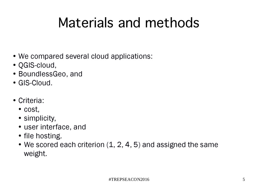
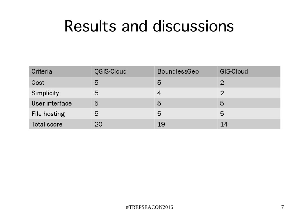
Materials and methods: We compared several cloud applications, QGIS-cloud, BoundlessGeo, and GIS-Cloud, using the following criteria: cost, simplicity, user interface, and file hosting. We scored each criterion (1, 2, 4, 5) and assigned the same weight.

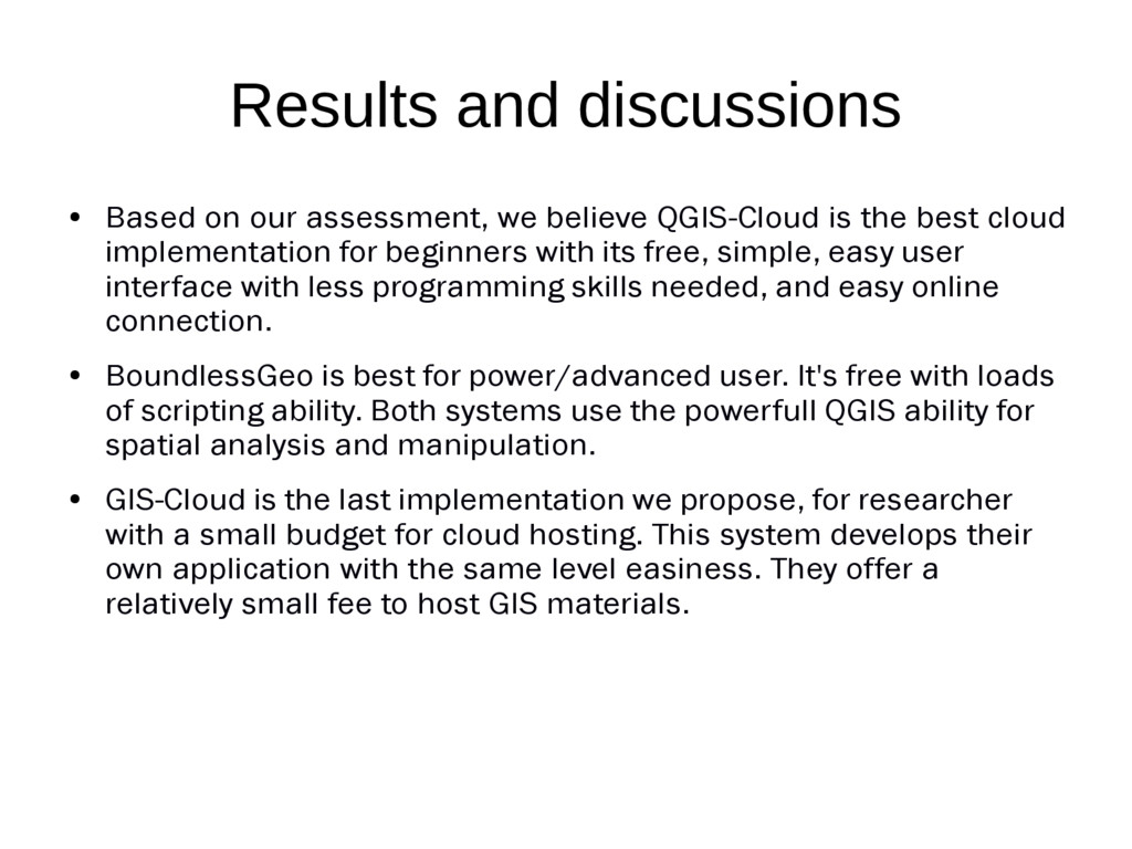
Results and discussions: Based on our assessment, we believe QGIS-Cloud is the best cloud implementation for beginners with its free, simple, easy user interface with less programming skills needed, and easy online connection. BoundlessGeo is best for power/advanced user. It's free with loads of scripting ability. Both systems use the powerfull QGIS ability for spatial analysis and manipulation. GIS-Cloud is the last implementation we propose, for researcher with a small budget for cloud hosting. This system develops their own application with the same level easiness. They offer a relatively small fee to host GIS materials.

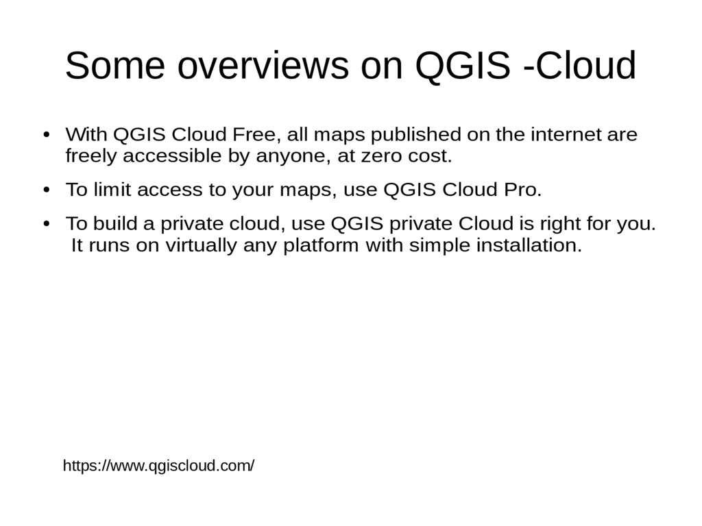
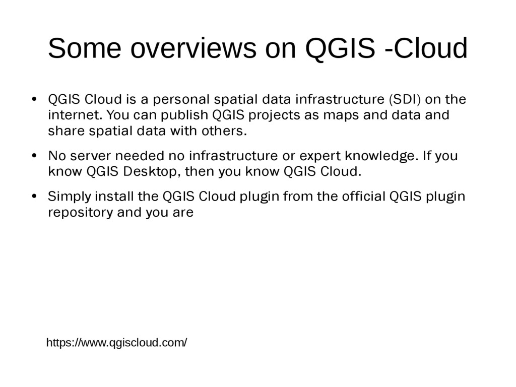
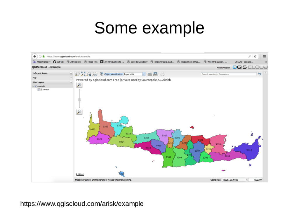
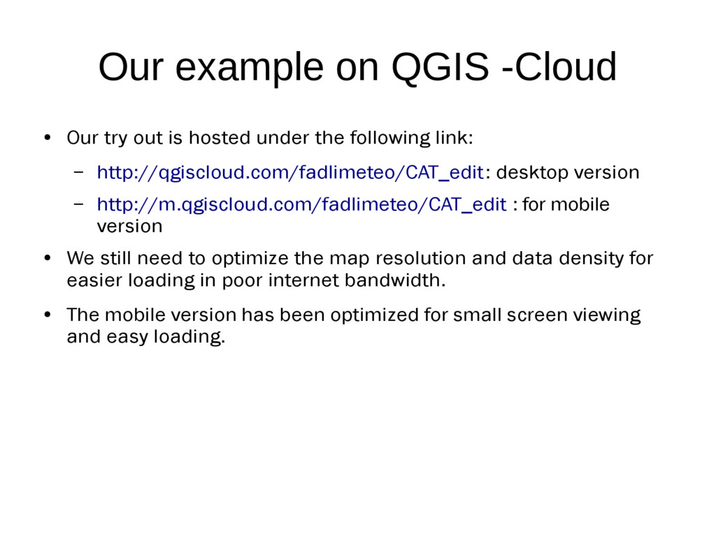
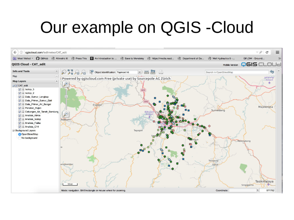
The QGIS offers a free cloud system for personal users and paid services for commercial users. Users can upload their off line documents directly from QGIS desktop. To our perspective, this system can be used to promote ITB’s spatial research outputs, As well as to gain more visibility, it also can put ITB as one of the open source ambassador in SE-Asia. All projects will be available online and citeable to the readers.

We summarize this paper with a strong statement that QGIS and ITB can collaboratively work together to increase research output and its impact to society. We strongly suggest more dissemination of QGIS and other open source projects in ITB.

Dasapta Erwin Irawan

September 20, 2016
Tweet

More Decks by Dasapta Erwin Irawan

Other Decks in Education

Transcript

  1. Application of Integrated QGIS System: An Option to Increase the

    Visibility of Geoscience Research in ITB (v.1) Dasapta Erwin Irawan1, Fadli Ahmad Naufal1, and Ahmad Darul3 1 Institut Teknologi Bandung 2 Institut Teknologi dan Sains Bandung
  2. #TREPSEACON2016 2 Background • The GIS world is currently in

    the palm of proprietary software, • This paper discusses open source GIS system and its cloud implementations to increase visibility of earth science projects, especially low budget research,
  3. #TREPSEACON2016 3 Why open source? • It's free (request some

    small donation), • Open code ready to be developed, • Strong and loyal user community, • Cross platform (Linux, Mac, Windows).
  4. #TREPSEACON2016 4 Some of our examples • QGIS (Quantum-GIS) first

    developed in 2002 by Gary Sherman. This project was then adopted by Open Source Geospatial Foundation. • user friendly interface, • hundreds of plug ins to enrich its power in spatial analysis. • GRASS-GIS (Geographic Resources Analysis Support System) has been under continuous development since 1982 and during the 90s a large number of federal US agencies, universities, and private companies were involved in the development. • intensive programming environment, • highly programmable. • R First launched in early 90's as statistical package now it has script based GIS ability.
  5. #TREPSEACON2016 5 Materials and methods • We compared several cloud

    applications: • QGIS-cloud, • BoundlessGeo, and • GIS-Cloud. • Criteria: • cost, • simplicity, • user interface, and • file hosting. • We scored each criterion (1, 2, 4, 5) and assigned the same weight.
  6. Results and discussions • Based on our assessment, we believe

    QGIS-Cloud is the best cloud implementation for beginners with its free, simple, easy user interface with less programming skills needed, and easy online connection. • BoundlessGeo is best for power/advanced user. It's free with loads of scripting ability. Both systems use the powerfull QGIS ability for spatial analysis and manipulation. • GIS-Cloud is the last implementation we propose, for researcher with a small budget for cloud hosting. This system develops their own application with the same level easiness. They offer a relatively small fee to host GIS materials.
  7. #TREPSEACON2016 7 Results and discussions Criteria QGIS-Cloud BoundlessGeo GIS-Cloud Cost

    5 5 2 Simplicity 5 4 2 User interface 5 5 5 File hosting 5 5 5 Total score 20 19 14
  8. Some overviews on QGIS -Cloud • With QGIS Cloud Free,

    all maps published on the internet are freely accessible by anyone, at zero cost. • To limit access to your maps, use QGIS Cloud Pro. • To build a private cloud, use QGIS private Cloud is right for you. It runs on virtually any platform with simple installation. https://www.qgiscloud.com/
  9. Some overviews on QGIS -Cloud • QGIS Cloud is a

    personal spatial data infrastructure (SDI) on the internet. You can publish QGIS projects as maps and data and share spatial data with others. • No server needed no infrastructure or expert knowledge. If you know QGIS Desktop, then you know QGIS Cloud. • Simply install the QGIS Cloud plugin from the official QGIS plugin repository and you are https://www.qgiscloud.com/
  10. Our example on QGIS -Cloud • Our try out is

    hosted under the following link: – http://qgiscloud.com/fadlimeteo/CAT_edit: desktop version – http://m.qgiscloud.com/fadlimeteo/CAT_edit : for mobile version • We still need to optimize the map resolution and data density for easier loading in poor internet bandwidth. • The mobile version has been optimized for small screen viewing and easy loading.
  11. Results and discussions • The QGIS offers a free cloud

    system for personal users and paid services for commercial users. • Users can upload their off line documents directly from QGIS desktop. • To our perspective, this system can be used to promote ITB’s spatial research outputs, as well as to gain more visibility, • All projects will be available online and citeable to the readers.
  12. Results and discussions • We summarize this paper with a

    strong statement that QGIS and ITB can collaboratively work together to increase research output and its impact to society. • We strongly suggest more dissemination of QGIS and other open source projects in ITB.
  13. #TREPSEACON2016 15 Thank you We deposited the files on OSF

    repository under the following citation: Irawan, D.E., Naufal, F.A., and Darul, A. 2016. “TrepSea 2016 Papers.” Open Science Framework. September 20. doi: 10.17605/OSF.IO/GZ8QF. For more informations: Email: dasaptaerwin(@)outlook.co.id Twitter: @dasaptaerwin