Upgrade to Pro
— share decks privately, control downloads, hide ads and more …
Speaker Deck
Features
Speaker Deck
PRO
Sign in
Sign up for free
Search
Search
FOSS4G 2015 Tokyo Vector Tiles Pt. 5
Search
Sponsored
·
Your Podcast. Everywhere. Effortlessly.
Share. Educate. Inspire. Entertain. You do you. We'll handle the rest.
→
Hidenori FUJIMURA
October 09, 2015
120
0
Share
Embed
Copy iframe code
Copy JS code
Copy link
Start on current slide
FOSS4G 2015 Tokyo Vector Tiles Pt. 5
Hidenori FUJIMURA
October 09, 2015
More Decks by Hidenori FUJIMURA
See All by Hidenori FUJIMURA
みんなに伝わる防災マップ
hfu
0
170
未来の繁栄のためのスマート地図
hfu
0
190
Smart Maps for the prosperity in the future
hfu
0
280
Smart Maps and Bazaar
hfu
0
210
Sensemaking with Smart Maps
hfu
0
140
Smart Maps for the United Nations, with the United Nations
hfu
0
190
UN Smart Maps
hfu
0
230
スマート地図バザールによる地図XMLのタイル配信
hfu
0
140
国土地理院におけるベース・レジストリの整備とDX推進への取り組み
hfu
0
330
Featured
See All Featured
Measuring Dark Social's Impact On Conversion and Attribution
stephenakadiri
2
230
Building a A Zero-Code AI SEO Workflow
portentint
PRO
0
630
How People are Using Generative and Agentic AI to Supercharge Their Products, Projects, Services and Value Streams Today
helenjbeal
1
230
Future Trends and Review - Lecture 12 - Web Technologies (1019888BNR)
signer
PRO
0
3.6k
職位にかかわらず全員がリーダーシップを発揮するチーム作り / Building a team where everyone can demonstrate leadership regardless of position
madoxten
63
55k
Noah Learner - AI + Me: how we built a GSC Bulk Export data pipeline
techseoconnect
PRO
0
210
The World Runs on Bad Software
bkeepers
PRO
72
12k
A Guide to Academic Writing Using Generative AI - A Workshop
ks91
PRO
1
350
30 Presentation Tips
portentint
PRO
1
340
Visualizing Your Data: Incorporating Mongo into Loggly Infrastructure
mongodb
49
10k
Accessibility Awareness
sabderemane
1
150
How to build an LLM SEO readiness audit: a practical framework
nmsamuel
1
800
Transcript
Ministry of Land, Infrastructure, Transport and Tourism Geospatial Information Authority
of Japan ベクトルタイル利用サイトを作ろう Hidenori FUJIMURA Geospatial Information Authority of Japan 1 FOSS4G 2015 Tokyo ハンズオンデイ 2015-10-09T14:00/17:00 @駒場RC An棟2F
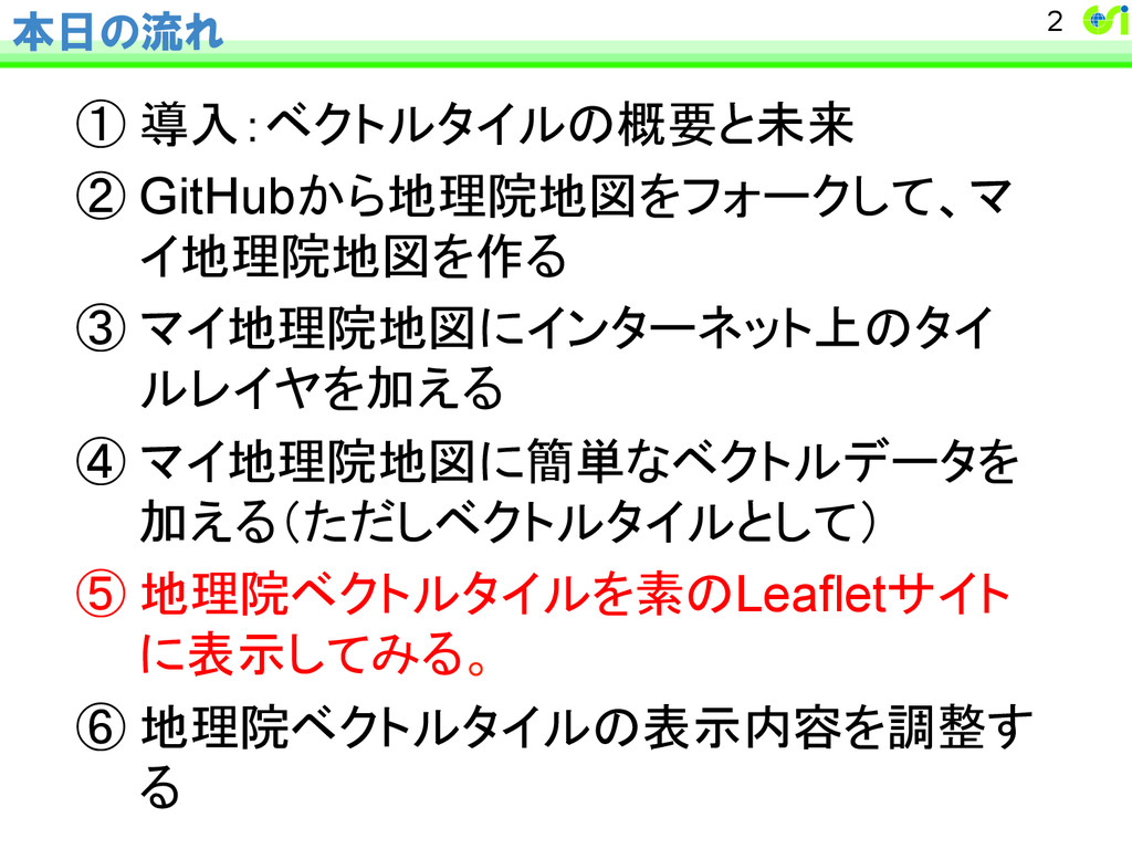
本日の流れ ① 導入:ベクトルタイルの概要と未来 ② GitHubから地理院地図をフォークして、マ イ地理院地図を作る ③ マイ地理院地図にインターネット上のタイ ルレイヤを加える ④ マイ地理院地図に簡単なベクトルデータを 加える(ただしベクトルタイルとして) ⑤ 地理院ベクトルタイルを素のLeafletサイト に表示してみる。
⑥ 地理院ベクトルタイルの表示内容を調整す る 2
本パートの狙い gsimaps のシェルなしに地理院ベクトルタイ ルを直接Leafletで触っていただくことで、 – ベクトルタイルの処理に親しんで頂く – ベクトルタイルの表示カスタマイズや処理の可 能性に触れて頂く • gsimapsは、整い終わったstyle.jsをベースに地図に 触れて頂くショーケースとして設計されており、表示
カスタマイズや処理への対応は今のところ組み込ま れていない。 3
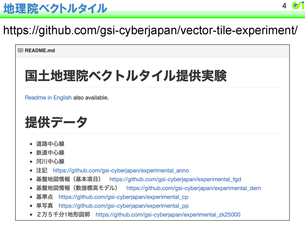
地理院ベクトルタイル https://github.com/gsi-cyberjapan/vector-tile-experiment/ 4
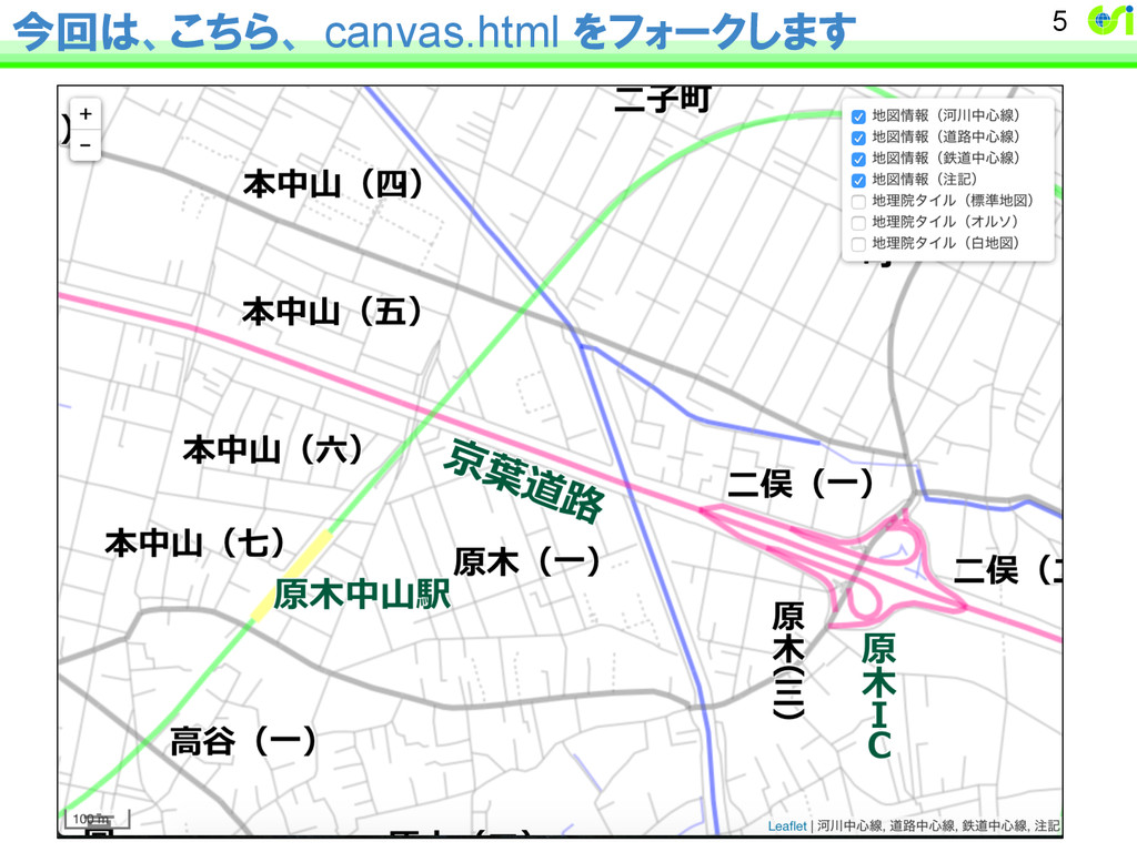
今回は、こちら、 canvas.html をフォークします 5
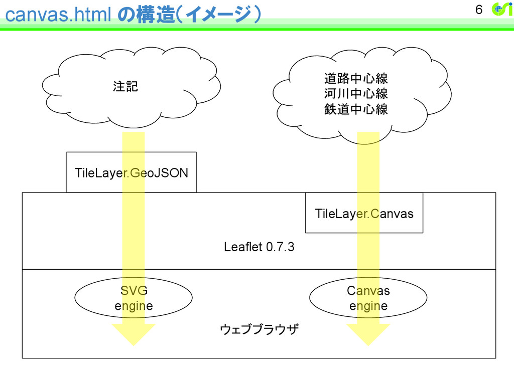
canvas.html の構造(イメージ) 6 ウェブブラウザ SVG engine Canvas engine Leaflet 0.7.3
TileLayer.Canvas TileLayer.GeoJSON 道路中心線 河川中心線 鉄道中心線 注記
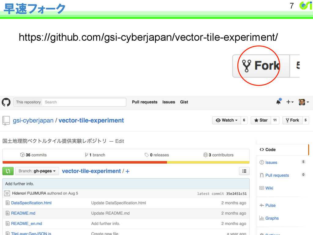
早速フォーク https://github.com/gsi-cyberjapan/vector-tile-experiment/ 7
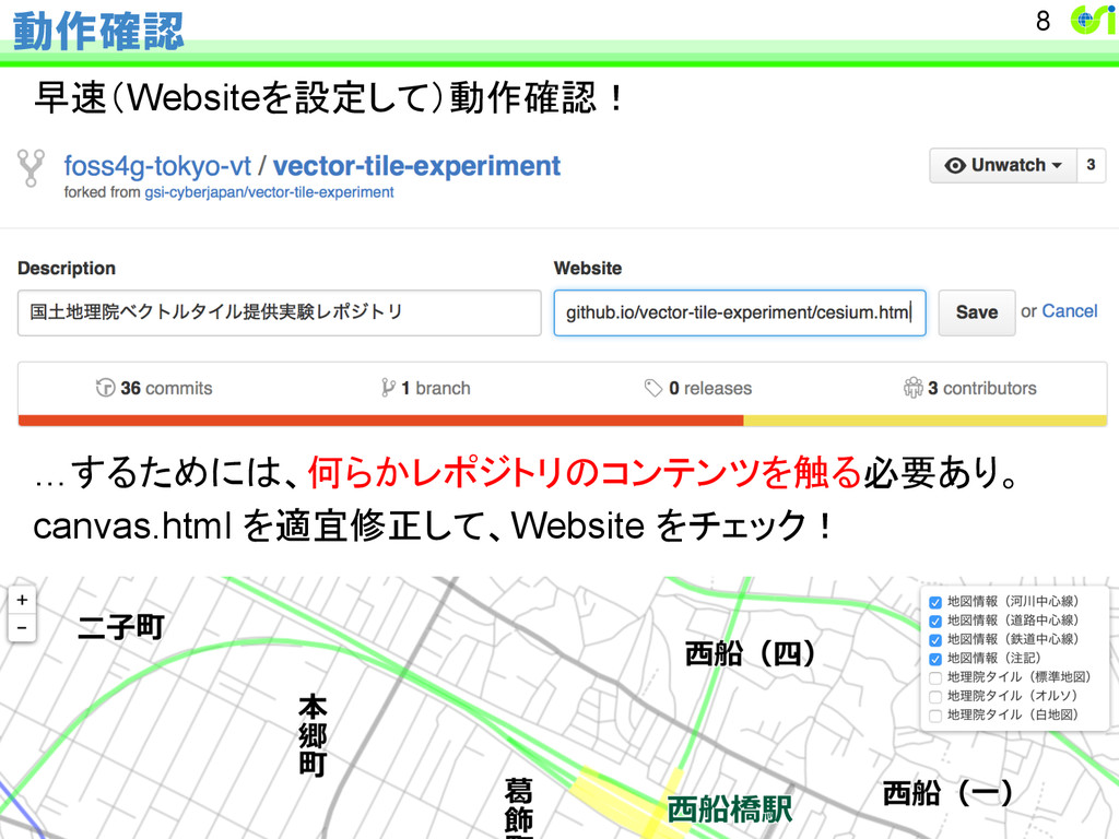
動作確認 早速(Websiteを設定して)動作確認! …するためには、何らかレポジトリのコンテンツを触る必要あり。 canvas.html を適宜修正して、Website をチェック! 8