Upgrade to Pro — share decks privately, control downloads, hide ads and more …

Web Processing Service for assisted land cover classification

Web Processing Service for assisted land cover classification

EGU General Assembly 2013 - Vienna, Austria - 2013.04.08

Jérôme Gasperi (1), Charles Peyrega (2), Sébastien Dinot (2), Quentin Boileau (3), Alexis Manin (3), and Vincent
Heurteaux (3)
(1) CNES, Toulouse, France ([email protected]), (2) CS Systèmes d’Information, Toulouse, France, (3) Geomatys, Montpellier, France

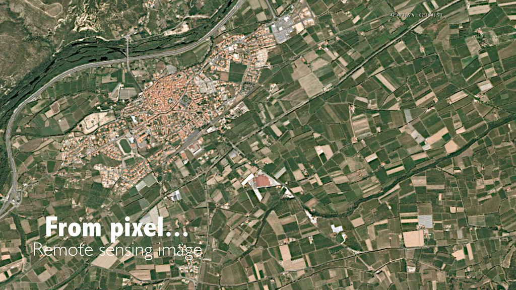
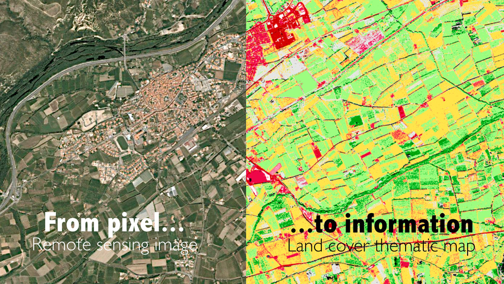
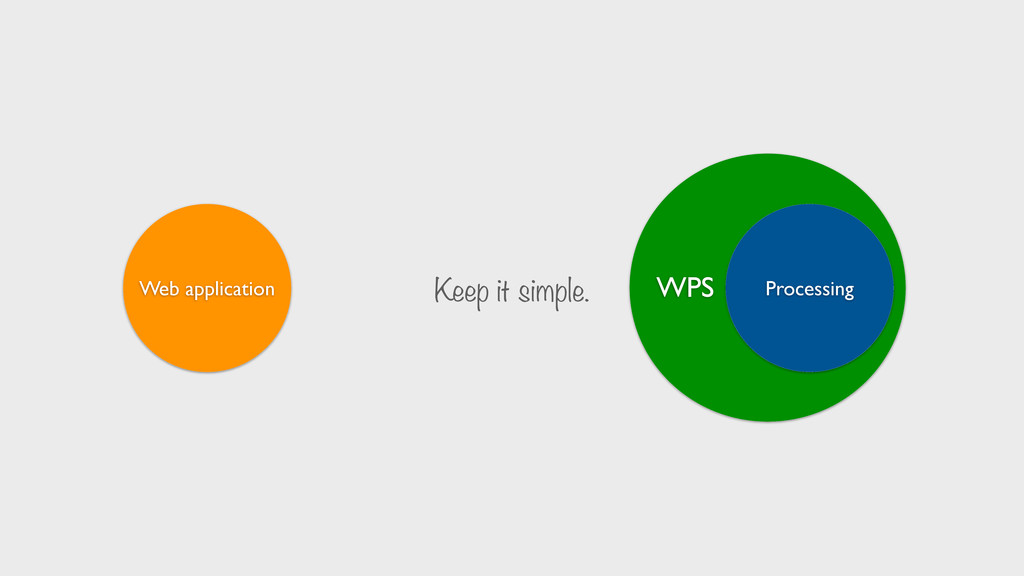
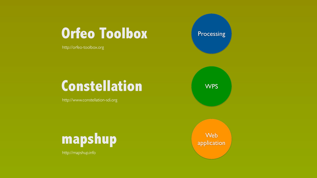
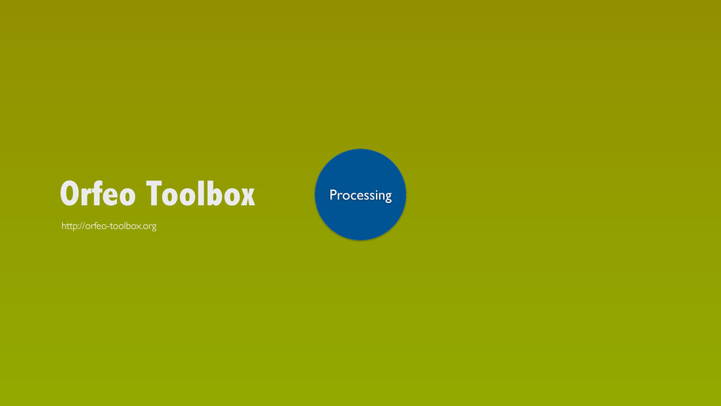
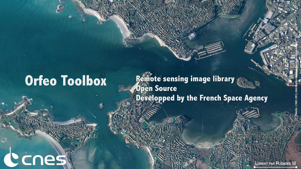
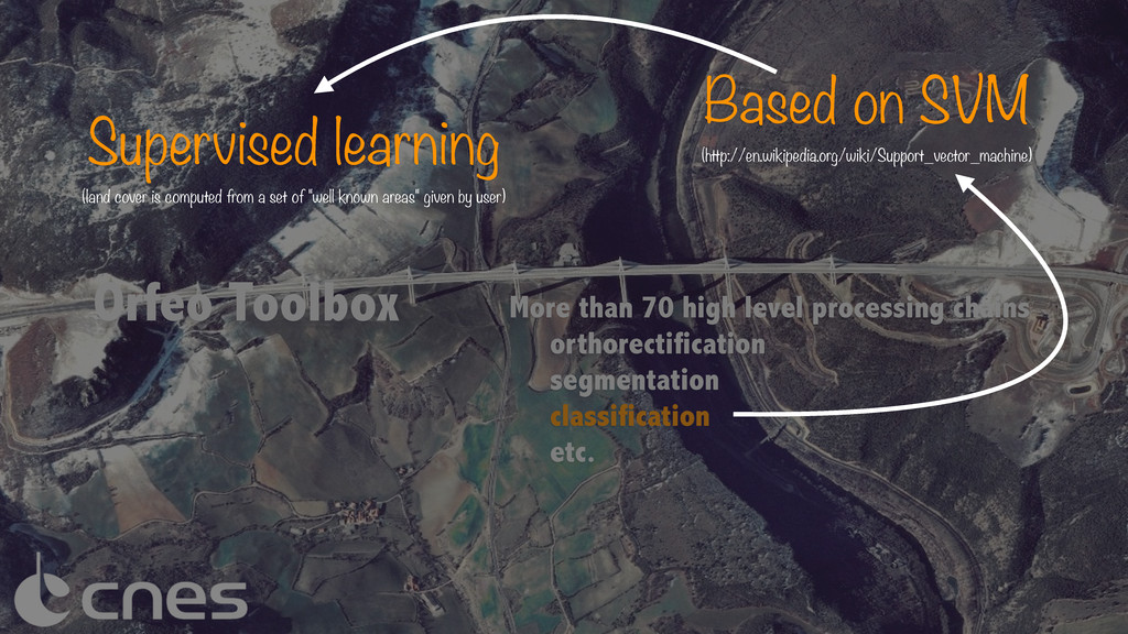
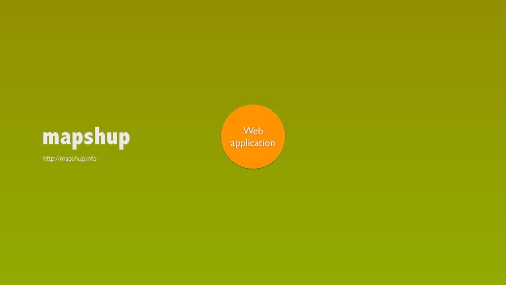
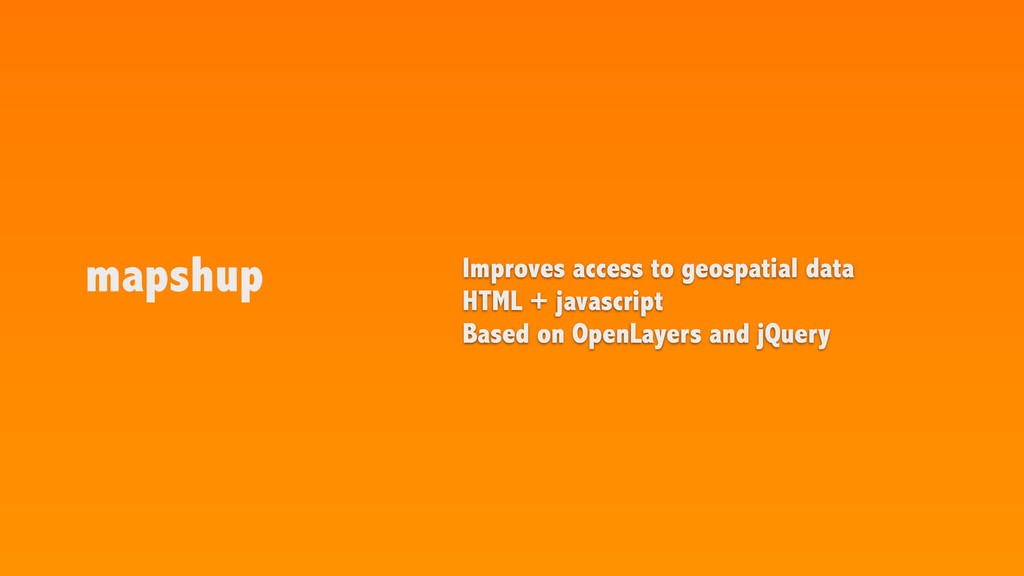
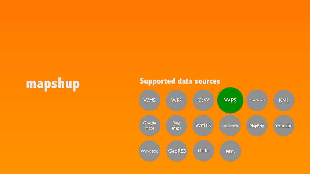
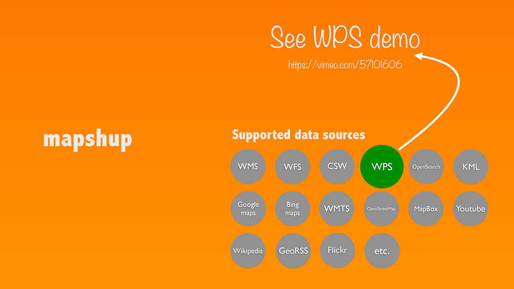
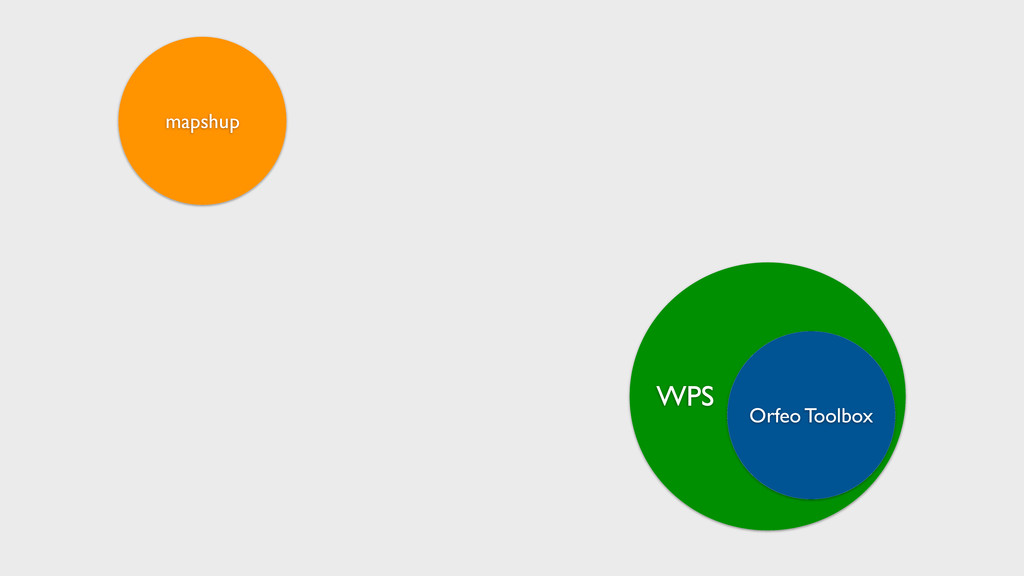
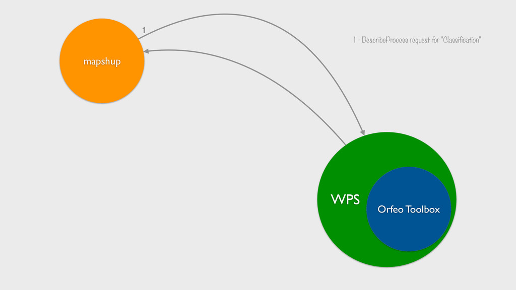
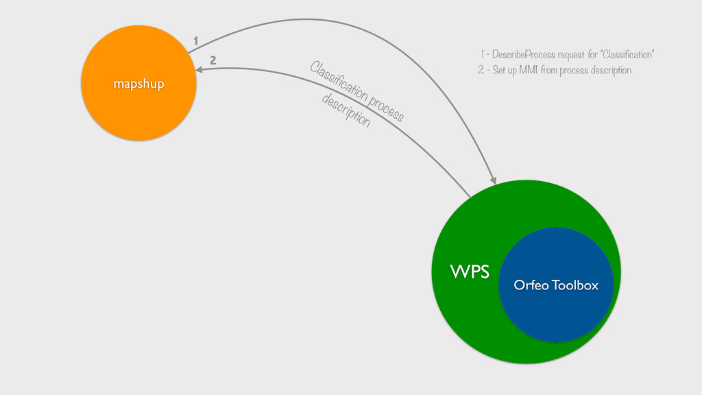
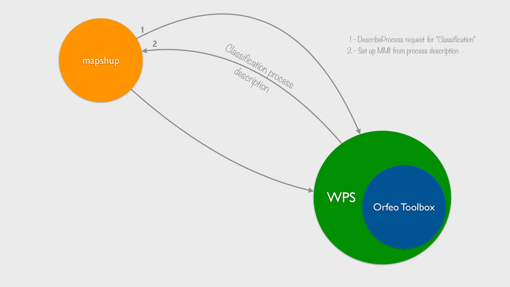
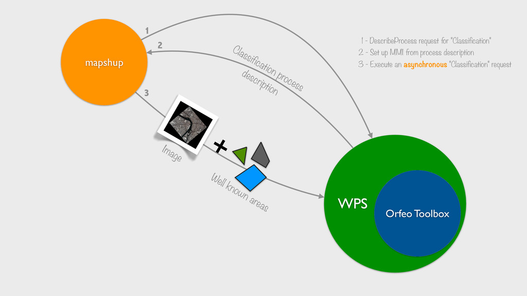
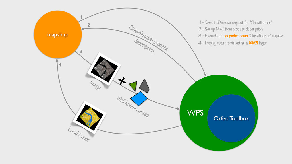
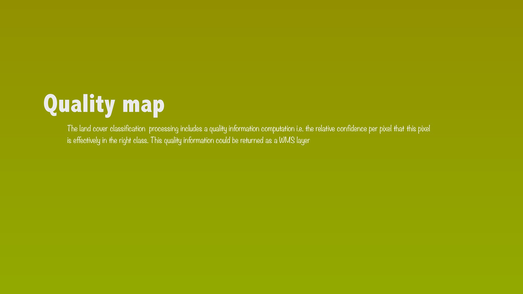
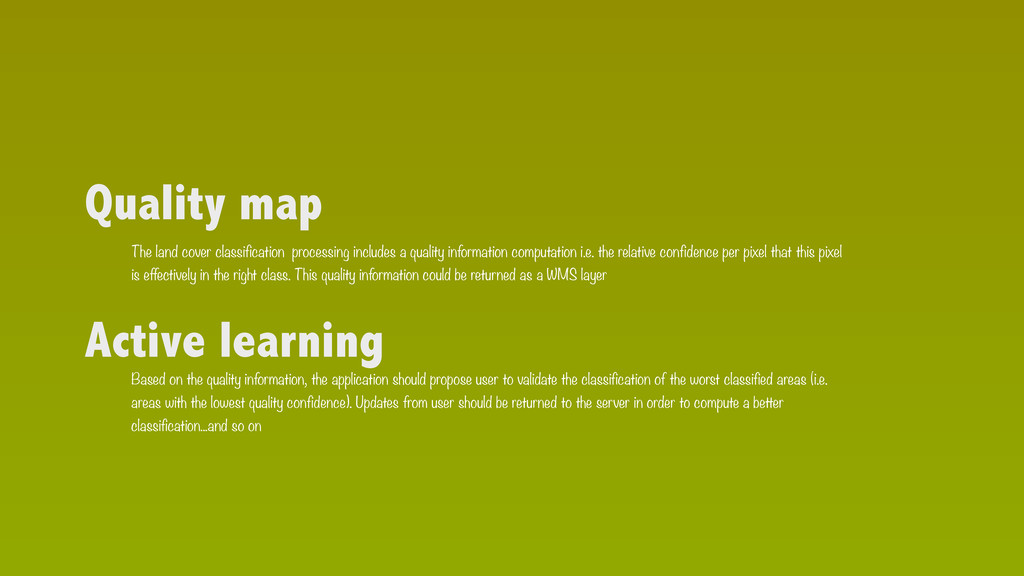
The Orfeo Toolbox (OTB - http://www.orfeo-toolbox.org/) is an Open Source Remote Sensing Image Processing software library developed by CNES. The aim of the toolbox is to gather a large number of state of the art algo- rithms for building processing chains for satellite images. Using the constellation server (http://www.constellation- sdi.org/), we exposed the main OTB processing chains as Web Processing Services (WPS). The WPS provides rules for standardizing inputs and outputs for invoking geospatial processing services. These services are managed from a web browser using the mapshup web client (http://mapshup.info). mapshup supports both synchronous and asynchronous processes and offers direct visualisation of results. The whole system provides user a complete and comprehensive image processing chain to produce land cover classification from satellite orthoimagery.

Jérôme Gasperi

April 08, 2013
Tweet

More Decks by Jérôme Gasperi

Other Decks in Technology

Transcript

  1. by Jérôme Gasperi Web Processing Service for assisted land cover

    classification EGU - ESSI 2.12 Vienna, Austria - April 8th, 2013
  2. Orfeo Toolbox More than 70 high level processing chains orthorectification

    segmentation classification etc. Supervised learning (land cover is computed from a set of "well known areas" given by user) Based on SVM (http://en.wikipedia.org/wiki/Support_vector_machine)
  3. mapshup Supported data sources WMS WFS CSW WPS OpenSearch etc.

    Flickr Youtube GeoRSS KML Wikipedia Google maps Bing maps OpenStreetMap MapBox WMTS
  4. mapshup Supported data sources See WPS demo https://vimeo.com/57101606 WMS WFS

    CSW WPS OpenSearch etc. Flickr Youtube GeoRSS KML Wikipedia Google maps Bing maps OpenStreetMap MapBox WMTS
  5. WPS a WPS a Web application 1 1 - DescribeProcess

    request for "Classification" Orfeo Toolbox mapshup
  6. WPS a WPS a Web application 1 1 - DescribeProcess

    request for "Classification" Orfeo Toolbox mapshup
  7. WPS a WPS a Web application 1 1 - DescribeProcess

    request for "Classification" Classification process description 2 2 - Set up MMI from process description Orfeo Toolbox mapshup
  8. WPS a WPS a Web application 1 1 - DescribeProcess

    request for "Classification" Classification process description 2 2 - Set up MMI from process description Orfeo Toolbox mapshup
  9. WPS a WPS a Web application 1 1 - DescribeProcess

    request for "Classification" Classification process description 2 2 - Set up MMI from process description + Image Well known areas 3 3 - Execute an asynchronous "Classification" request Orfeo Toolbox mapshup
  10. WPS a WPS a Web application 1 1 - DescribeProcess

    request for "Classification" Classification process description 2 2 - Set up MMI from process description + Image Well known areas 3 3 - Execute an asynchronous "Classification" request Orfeo Toolbox mapshup
  11. WPS a WPS a Web application 1 1 - DescribeProcess

    request for "Classification" Classification process description 2 2 - Set up MMI from process description + Image Well known areas 3 3 - Execute an asynchronous "Classification" request Land Cover 4 4 - Display result retrieved as a WMS layer Orfeo Toolbox mapshup
  12. WPS endpoint Not a production server...so send me an email

    to get the url - [email protected] And don't crash the server !!! I mean don't even try to crash the server :)
  13. Quality map The land cover classification processing includes a quality

    information computation i.e. the relative confidence per pixel that this pixel is effectively in the right class. This quality information could be returned as a WMS layer
  14. Quality map The land cover classification processing includes a quality

    information computation i.e. the relative confidence per pixel that this pixel is effectively in the right class. This quality information could be returned as a WMS layer Active learning Based on the quality information, the application should propose user to validate the classification of the worst classified areas (i.e. areas with the lowest quality confidence). Updates from user should be returned to the server in order to compute a better classification...and so on