Upgrade to Pro — share decks privately, control downloads, hide ads and more …

Open Data and Tools from ECMWF and Copernicus

Open Data and Tools from ECMWF and Copernicus

This presentation was given at the World Food Programme's First Global GIS Workshop, which was hosted in October 2019 in Rome.
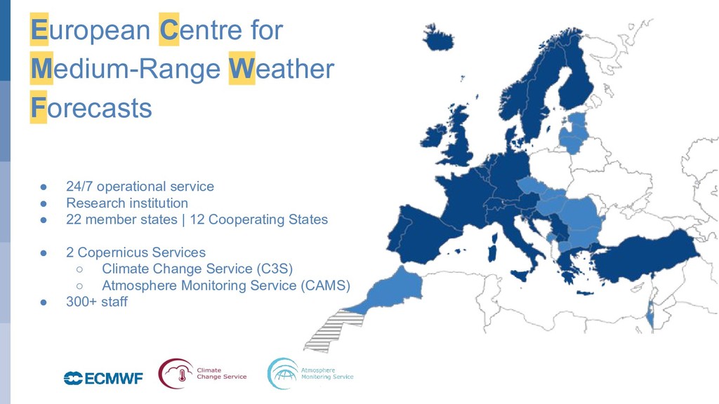
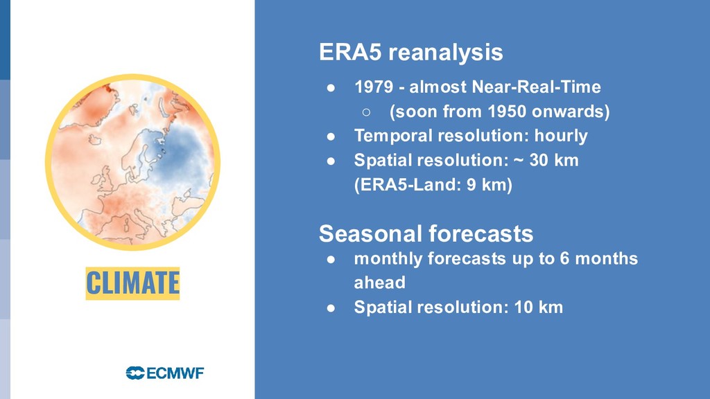
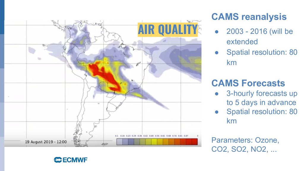
The presentation gives an overview of open data available from ECMWF and Copernicus and of tools on how to access and process the data.

Julia Wagemann

October 23, 2019
Tweet

More Decks by Julia Wagemann

Other Decks in Technology

Transcript

  1. © ECMWF June 5, 2019 Open Data and tools from

    ECMWF / Copernicus Julia Wagemann Twitter: @JuliaWagemann 23 October 2019 Climate | Air Quality | Flood | Fire WFP’s First Global GIS workshop
  2. October 29, 2014 European Centre for Medium-Range Weather Forecasts •

    24/7 operational service • Research institution • 22 member states | 12 Cooperating States • 2 Copernicus Services ◦ Climate Change Service (C3S) ◦ Atmosphere Monitoring Service (CAMS) • 300+ staff
  3. CLIMATE ERA5 reanalysis • 1979 - almost Near-Real-Time ◦ (soon

    from 1950 onwards) • Temporal resolution: hourly • Spatial resolution: ~ 30 km (ERA5-Land: 9 km) Seasonal forecasts • monthly forecasts up to 6 months ahead • Spatial resolution: 10 km
  4. CAMS reanalysis • 2003 - 2016 (will be extended •

    Spatial resolution: 80 km CAMS Forecasts • 3-hourly forecasts up to 5 days in advance • Spatial resolution: 80 km Parameters: Ozone, CO2, SO2, NO2, ... AIR QUALITY
  5. Fire danger indices • Fire-Weather Index • Fine Fuel Moisture

    Code • Duff Moisture Code • Drought Code • Build-Up Index • Initial Spread Index • Daily Severity Rating Time period: 1 Jan 1980 - 31 Dec 2018 Temporal resolution: daily Spatial resolution: 80 km FIRE DANGER
  6. October 29, 2014 FLOOD River discharge • GloFAS 30-day forecast

    ◦ 1 Jan 2018 - realtime ◦ Temporal resolution: daily ◦ Spatial resolution: 10 km • GloFAS 30-day reanalysis ◦ 1981-2017 ◦ Temporal resolution: daily ◦ Spatial resolution: 10 km
  7. October 29, 2014 ECMWF Web Mapping Service (WMS) • 500

    hPa Geopotential • 850 hPa temperature • Wind speed at 850 hPa • Mean sea-level pressure • ...
  8. October 29, 2014 Climate Data Store From a pure download

    system to a cloud-based data on-demand system
  9. October 29, 2014 7 ERA5 parameters in Google Earth Engine

    • 2m air temperature • 2m dewpoint temperature • Total precipitation • 10m u- and v-component of wind • Surface pressure • Mean sea-level pressure Bridging the gap between user communities
  10. October 29, 2014 CDS Toolbox • Code-editor (Python-based) • Example

    workflows • Direct outputs • Building web applications
  11. October 29, 2014 Improving data ‘accessibility’ xarray / cfgrib 0.9.7.1

    Magics 1.0.7 eccodes-python 0.9.2 metview 1.2.0 cdsapi 0.2.3 ecmwf-api-client 1.5.4 ecmwfr 1.2.1
  12. October 29, 2014 Some resources: • Climate Data Store |

    https://cds.climate.copernicus.eu/#!/home • ECMWF Public Datasets | https://apps.ecmwf.int/datasets/ • Global Flood Awareness System | http://www.globalfloods.eu/ • Fire danger forecasts | https://zenodo.org/communities/wildfire/ • ECMWF WMS Service endpoint | http://apps.ecmwf.int/wms/?token=public&request=GetCapabilities&version= 1.3.1 • WEkEO Copernicus Cloud service | https://www.wekeo.eu/