Presented at NACIS 2016.
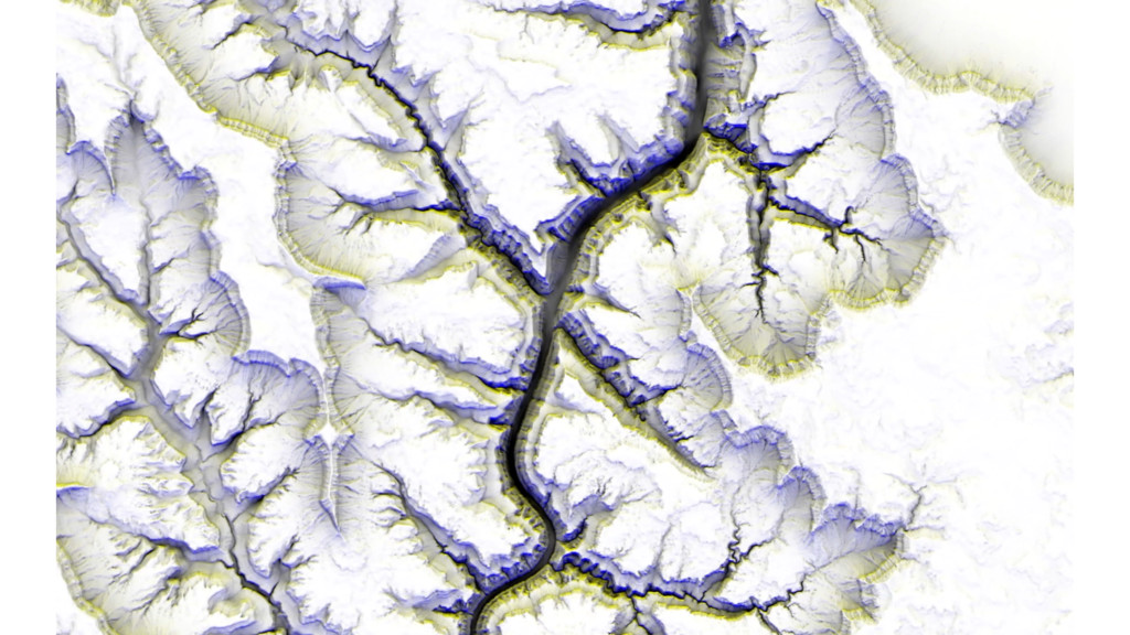
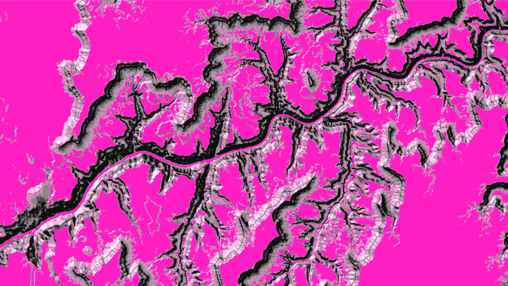
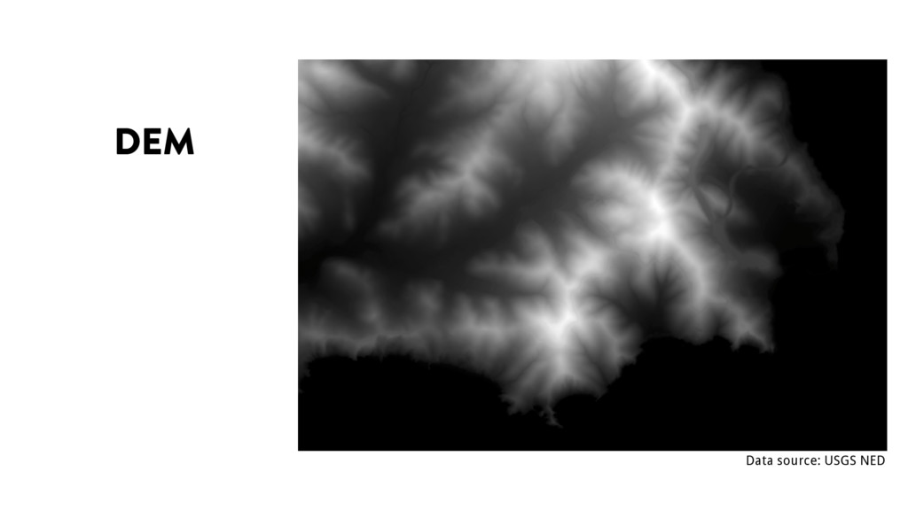
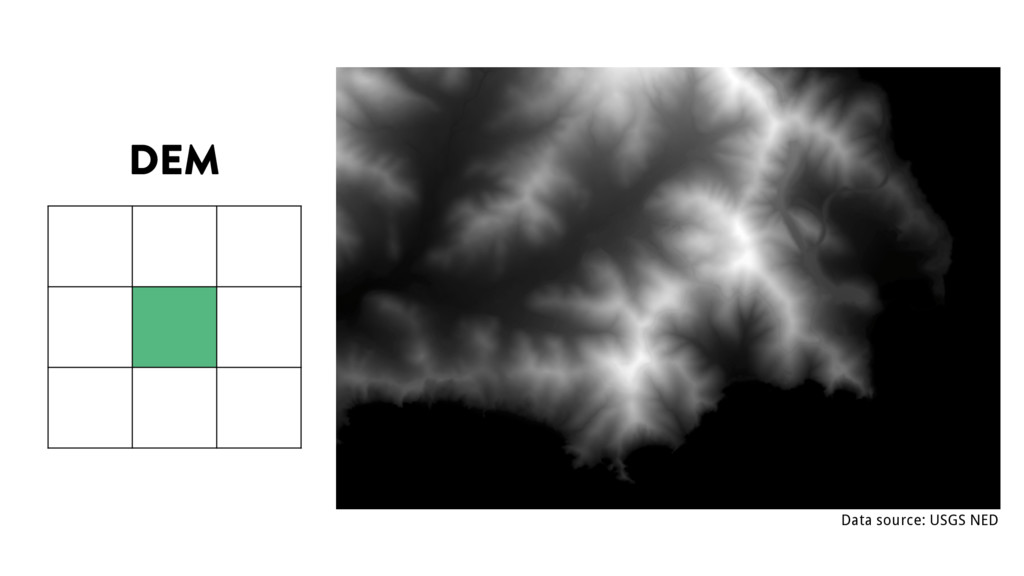
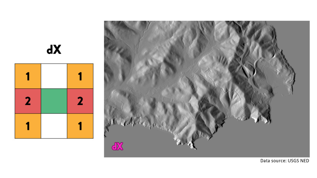
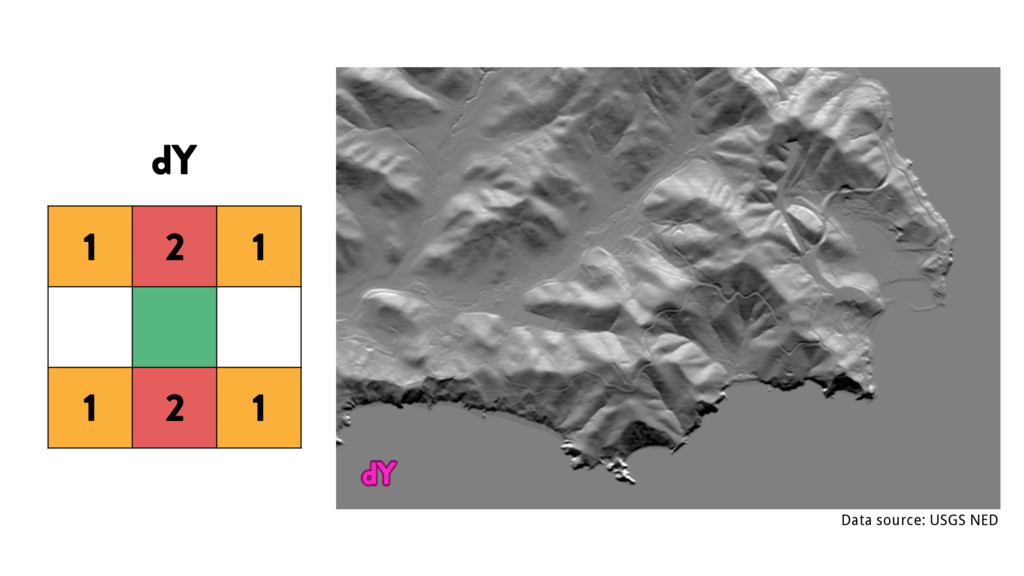
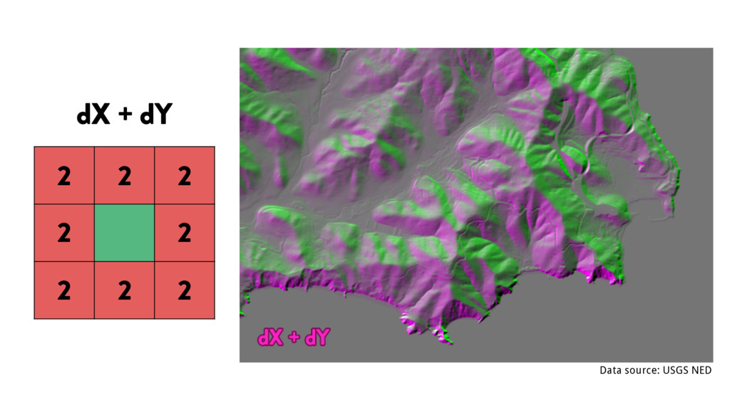
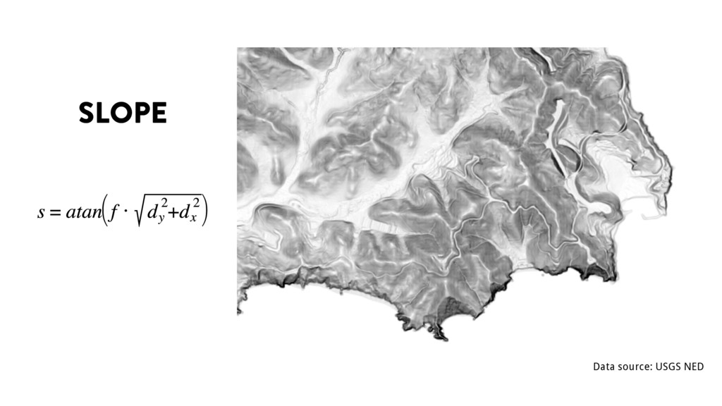
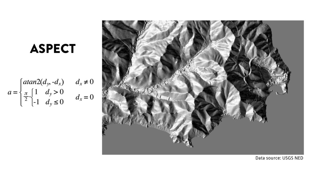
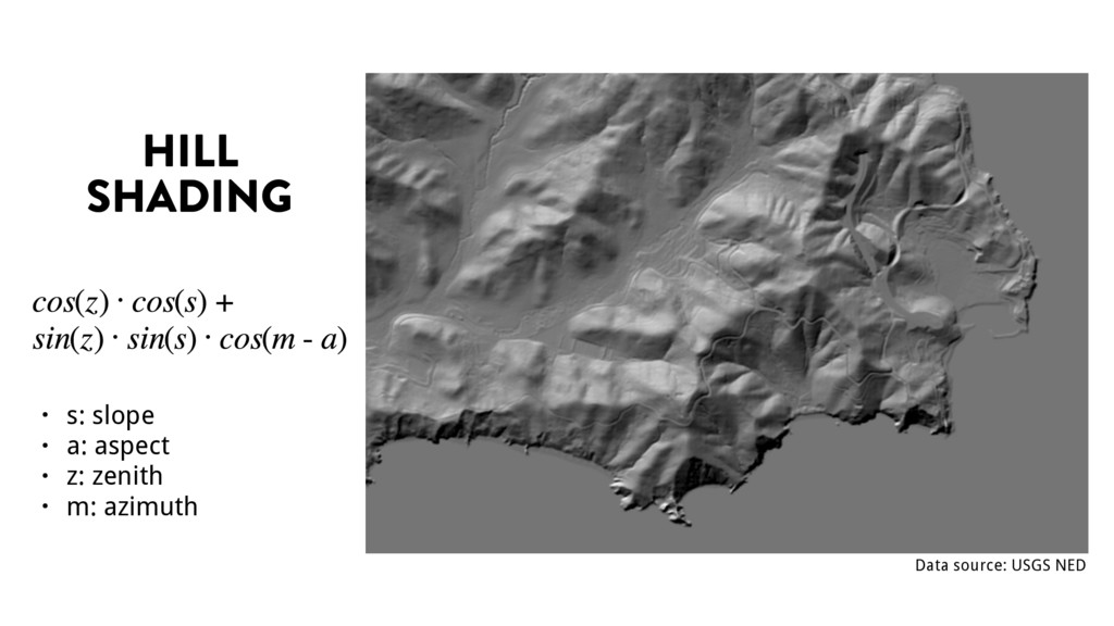
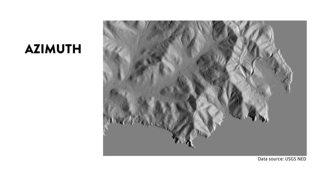
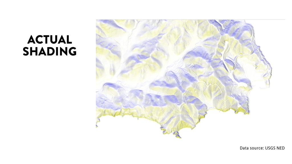
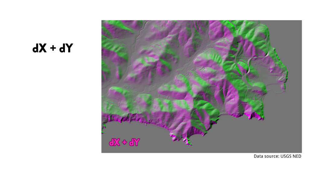
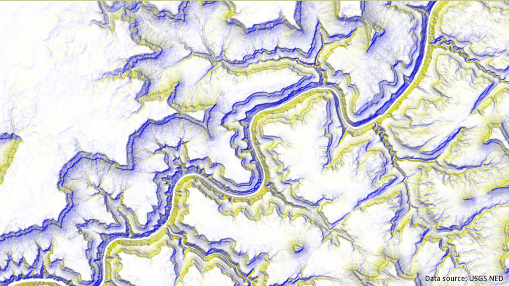
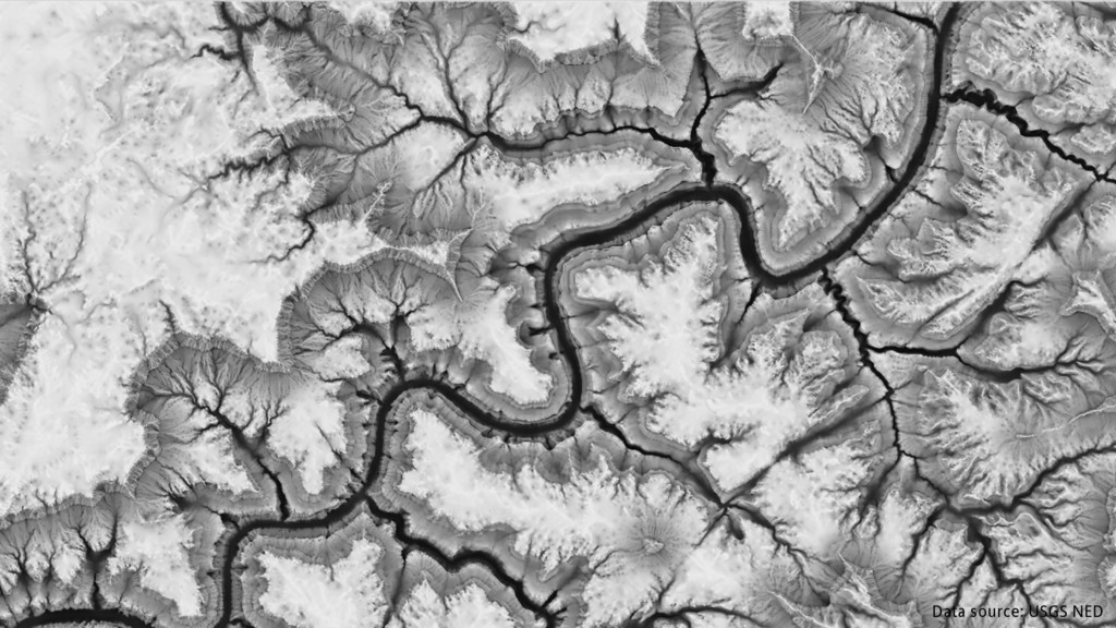
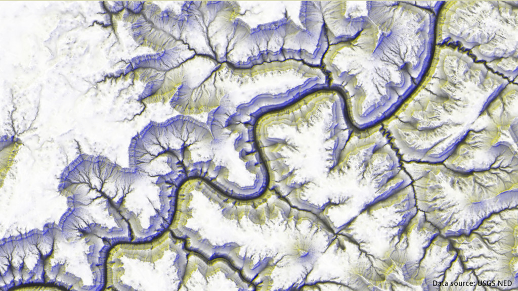
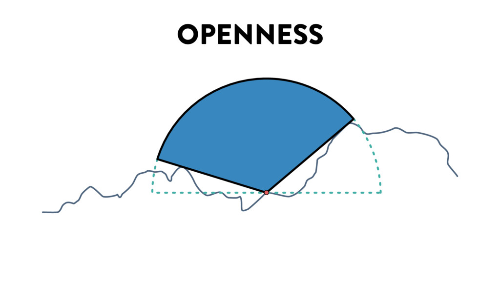
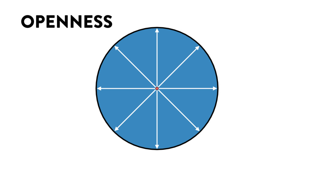
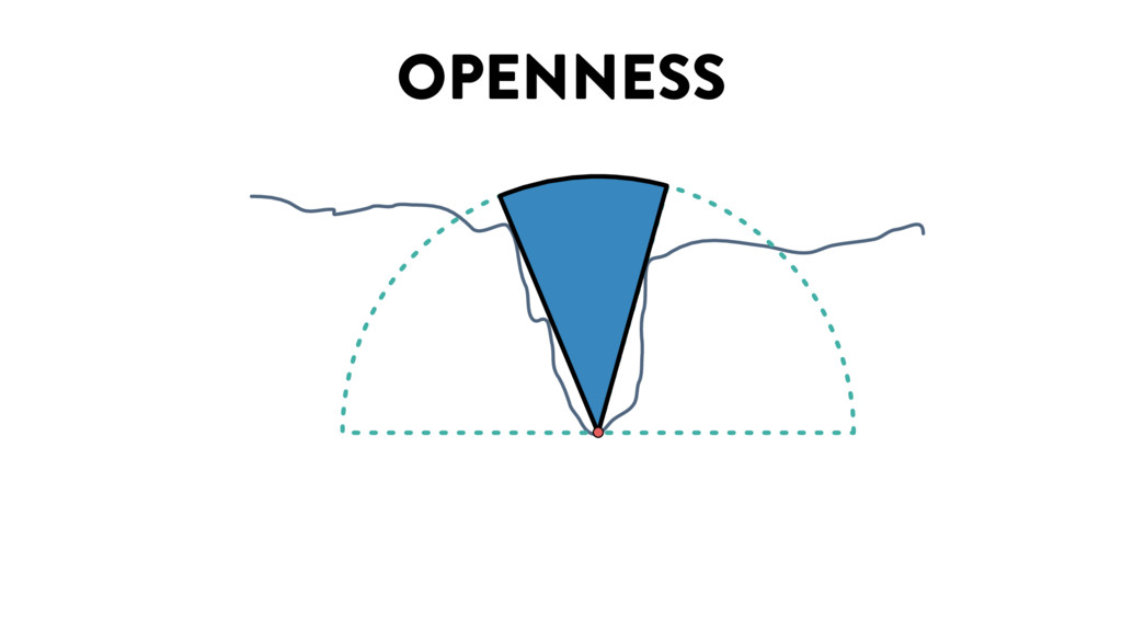
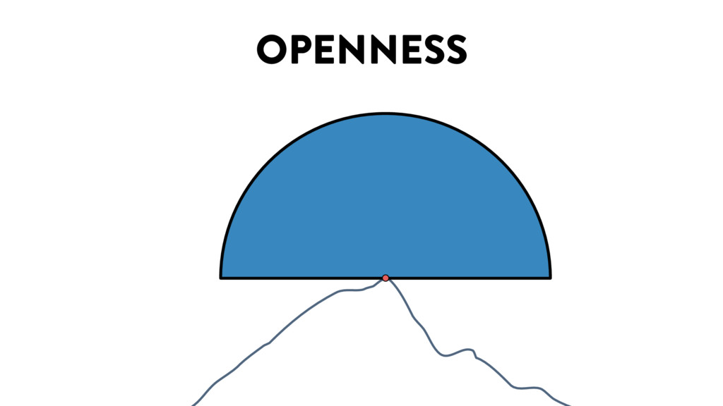
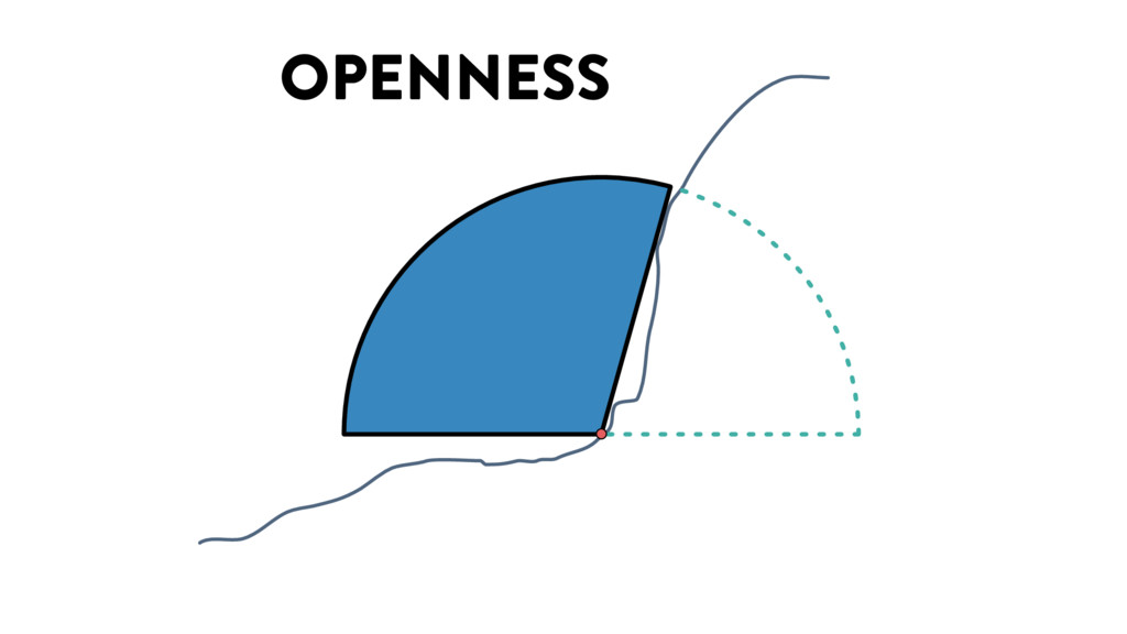
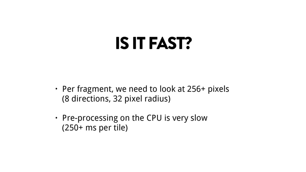
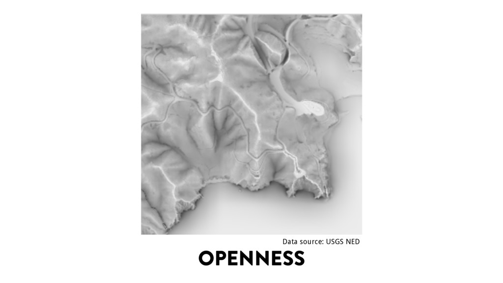
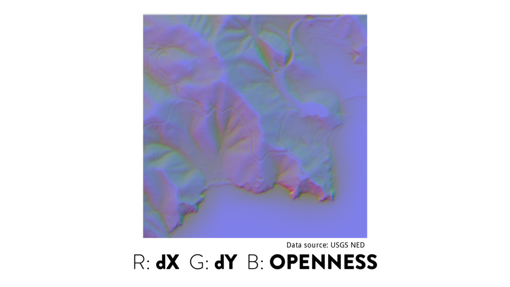
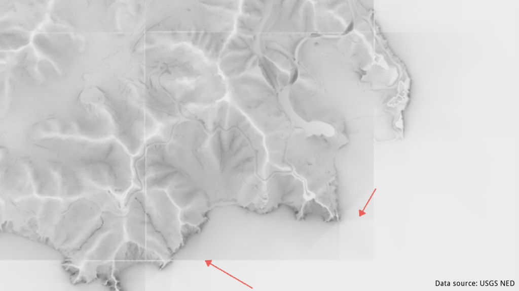
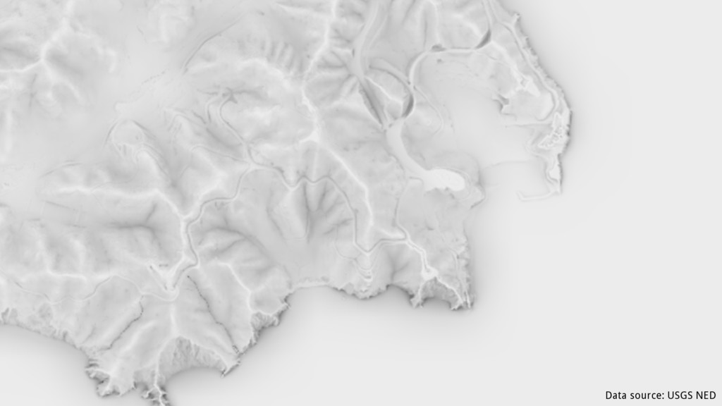
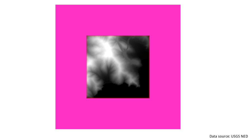
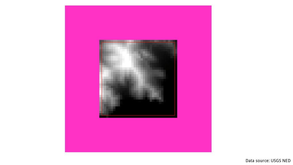
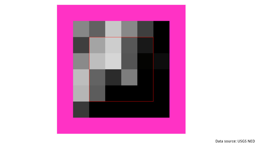
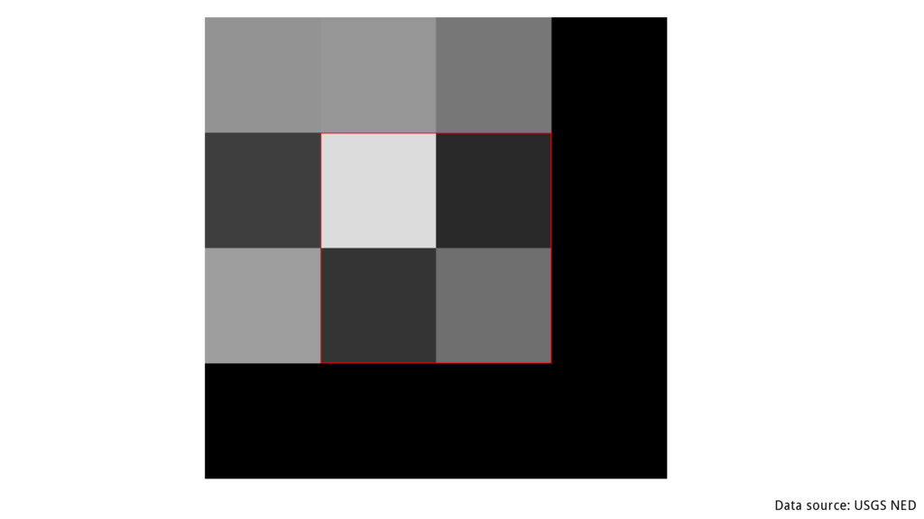
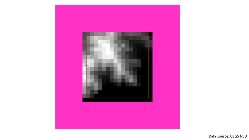
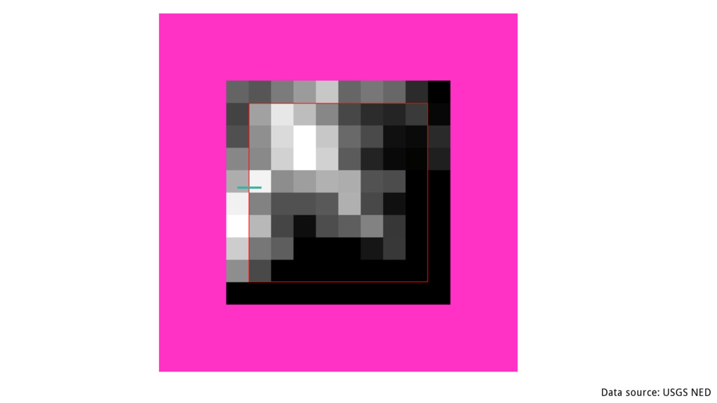
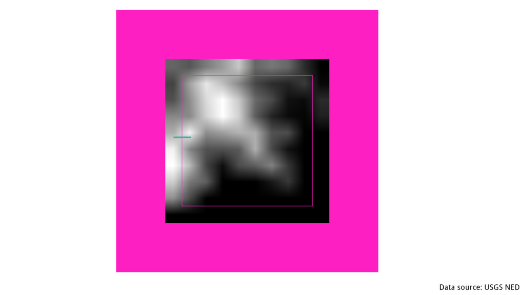
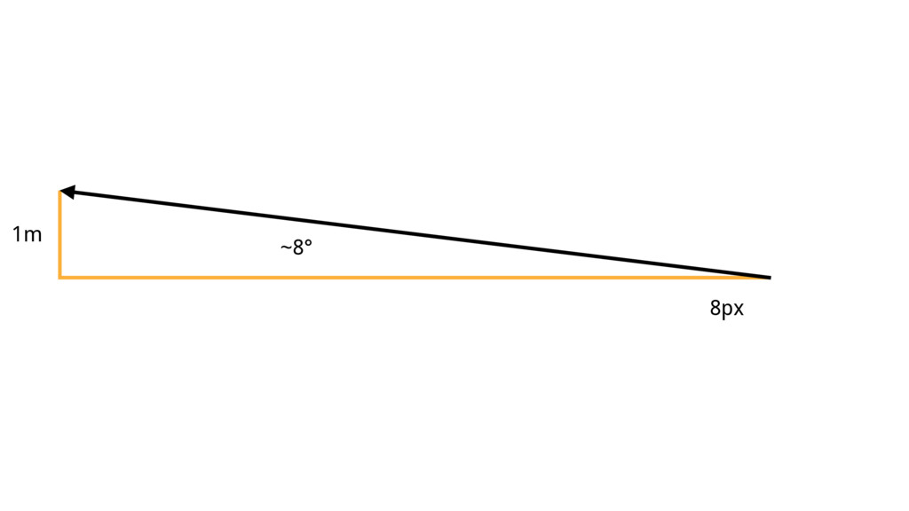
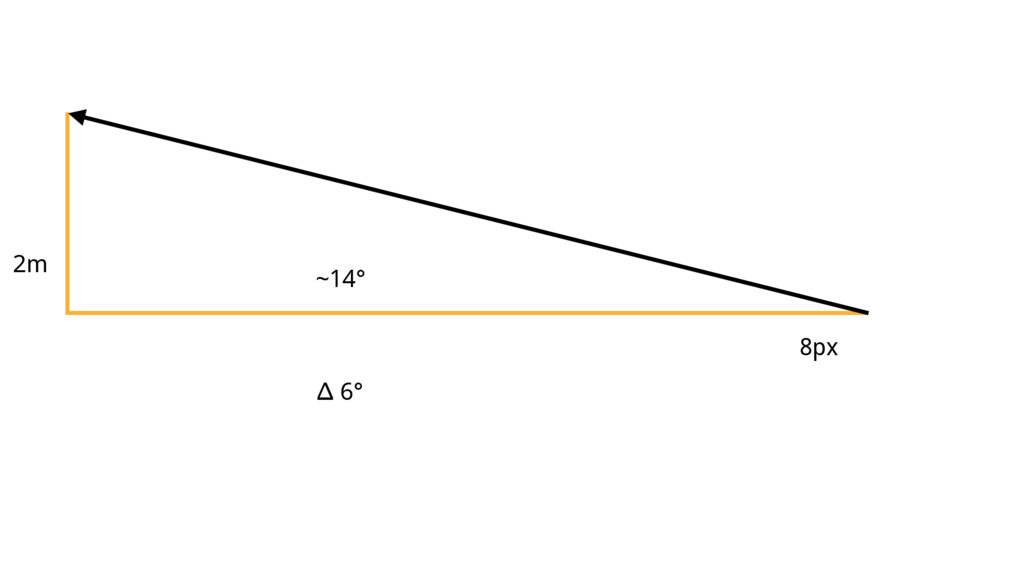
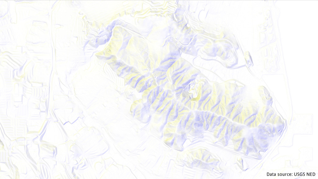
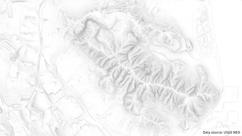
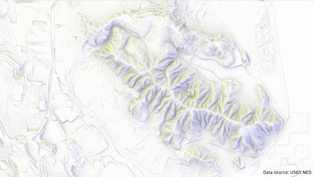
Visualizing terrain in maps is vital in the outdoors, and also helps at understanding the greater context of the location. Rendering it dynamically in the web browser, or on the mobile device allows for great design flexibility to create a stunning looking map. In this talk, we're looking at the whole chain of DEM data sourcing, processing and distribution, as well as creating a terrain visualization with Mapbox GL that goes beyond classical hill shading by incorporating terrain openness for showing macroscopic terrain.