using tesseroids Leonardo Uieda 1 Naomi Ussami 2 Carla F Braitenberg 3 1. Observatorio Nacional, Rio de Janeiro, Brazil 2. Universidade de São Paulo, São Paulo, Brazil 3. University of Trieste, Trieste, Italy. August 9, 2010
Why use tesseroids Numerical issues Modeling topography with tesseroids Topographic effect in the Paraná Basin region Further applications Concluding remarks
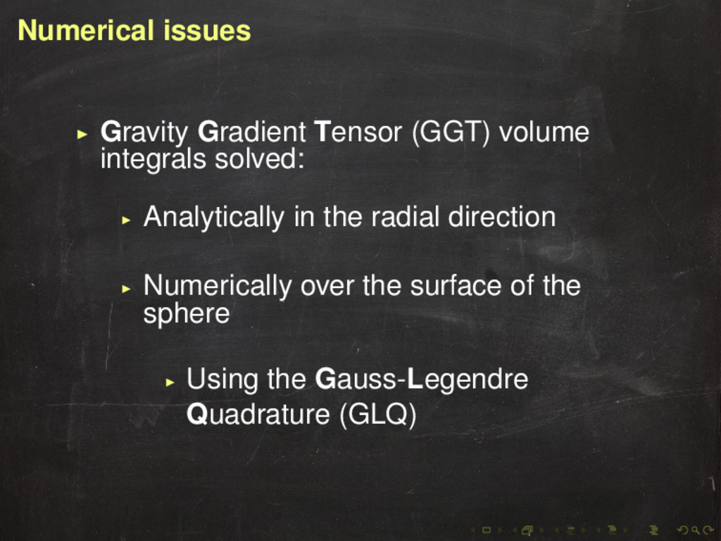
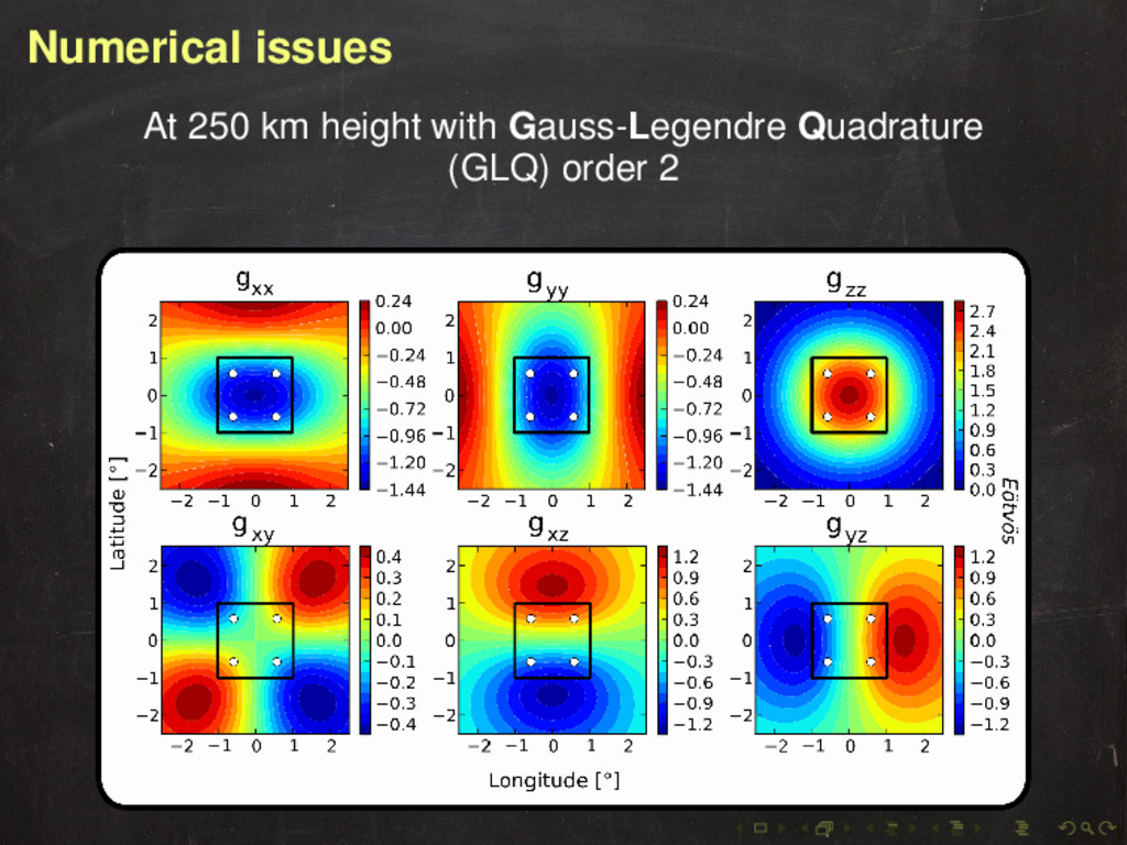
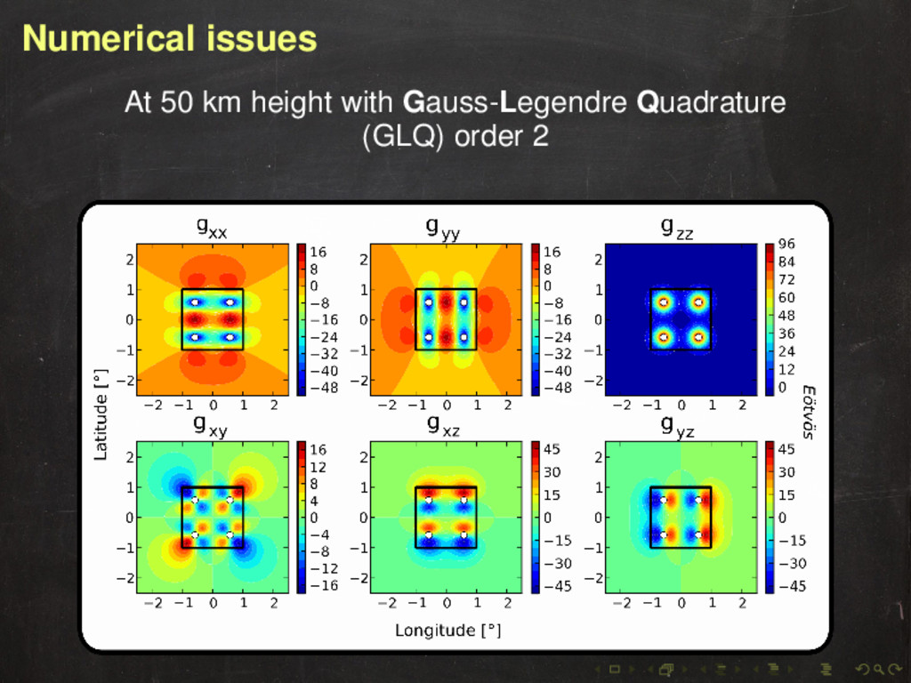
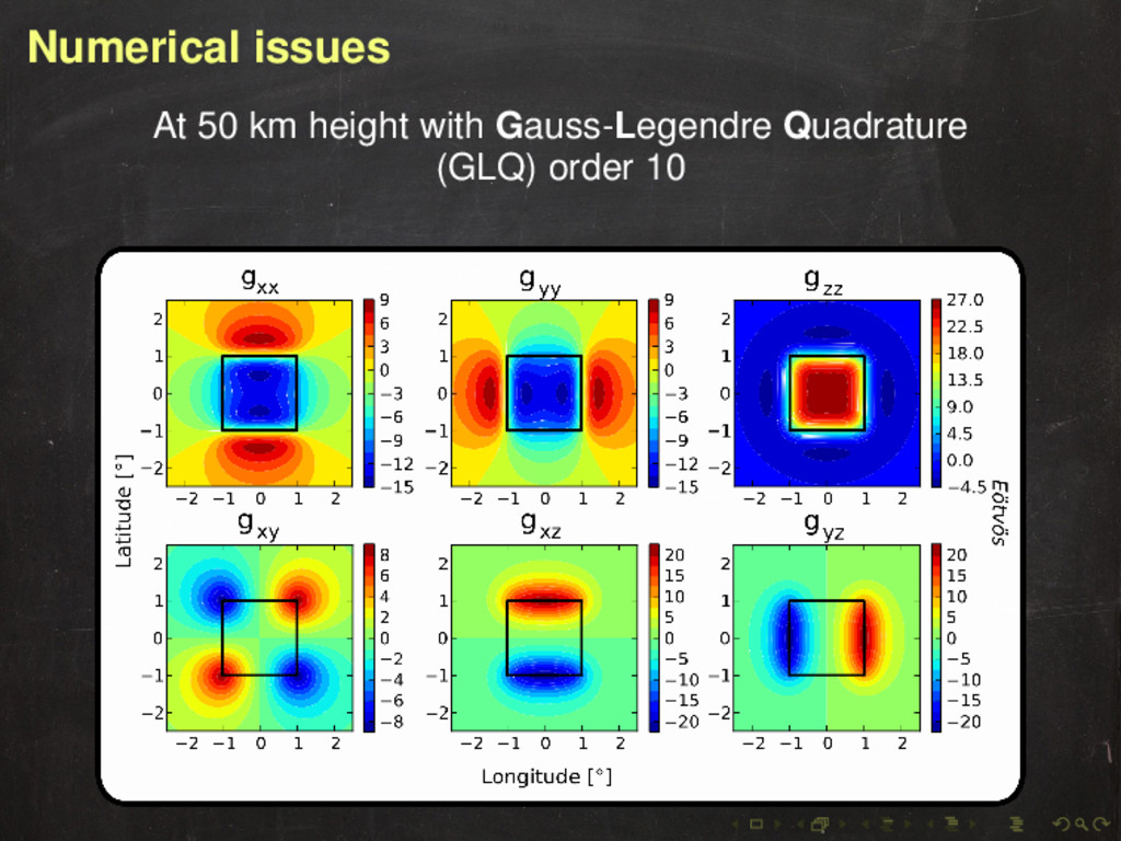
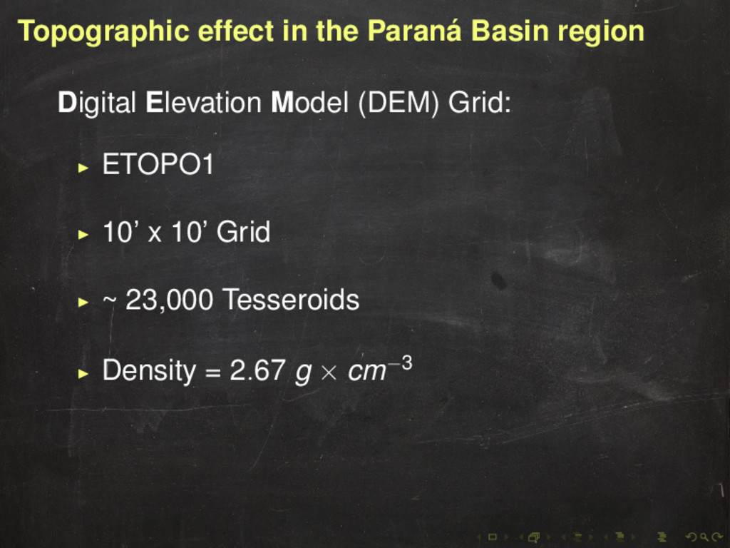
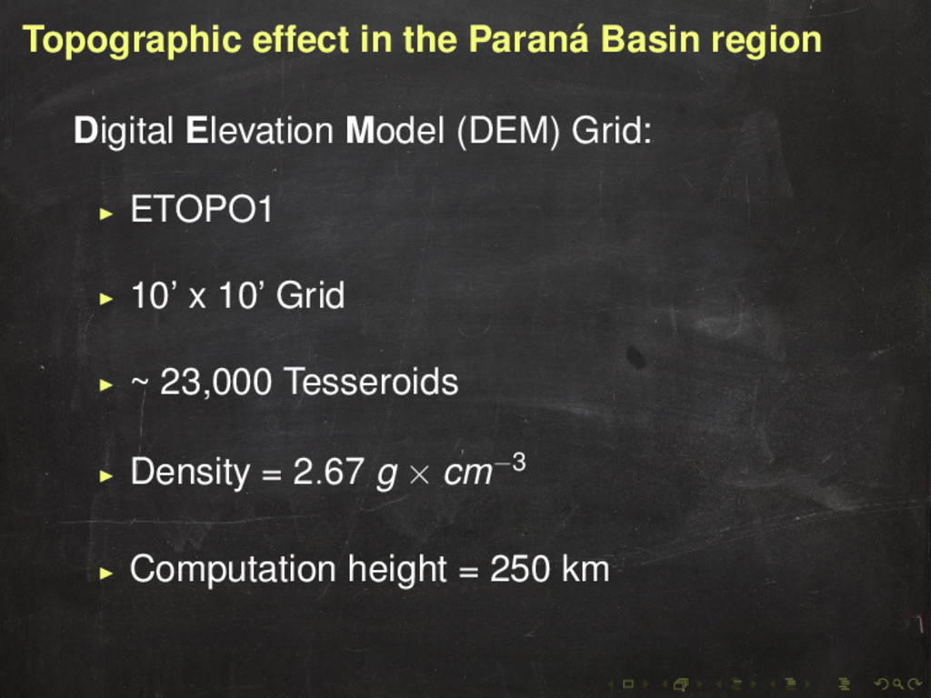
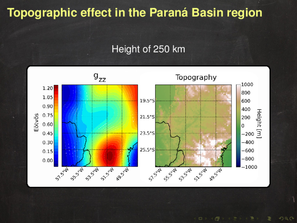
the region has the same order of magnitude as a 2◦ × 2◦ × 10 km tesseroid (100 Eötvös) Need to take topography into account when modeling (even at 250 km altitudes)
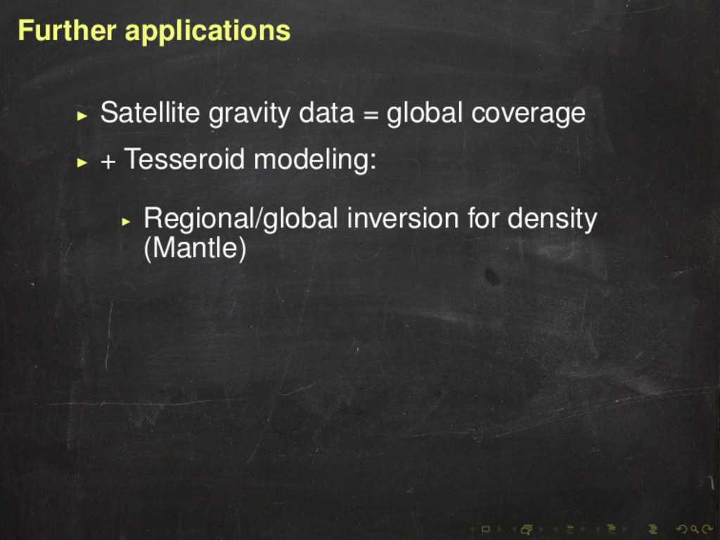
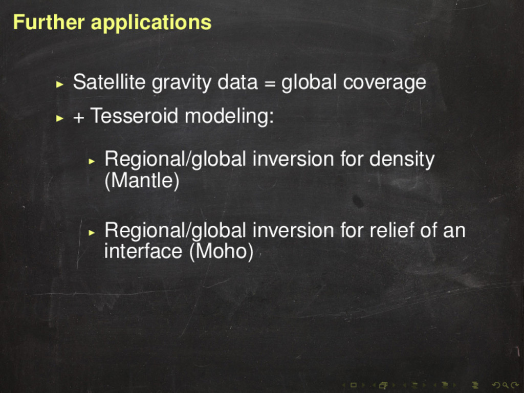
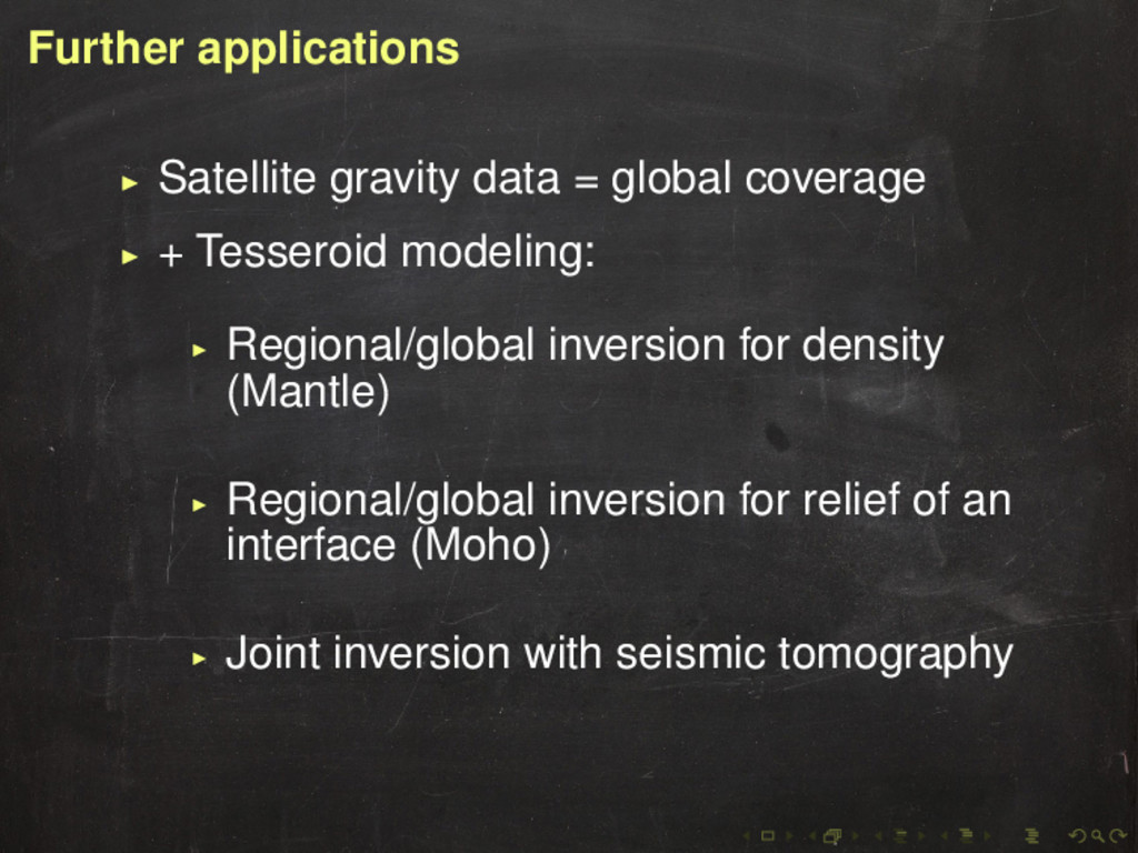
modeling: Regional/global inversion for density (Mantle) Regional/global inversion for relief of an interface (Moho) Joint inversion with seismic tomography
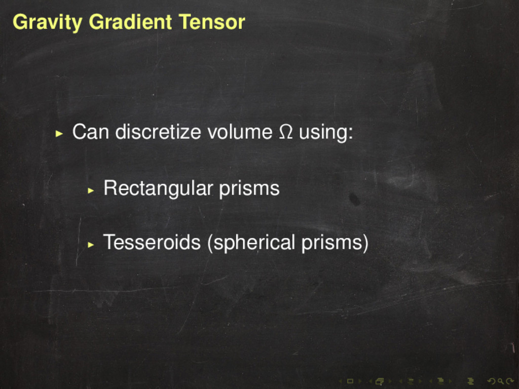
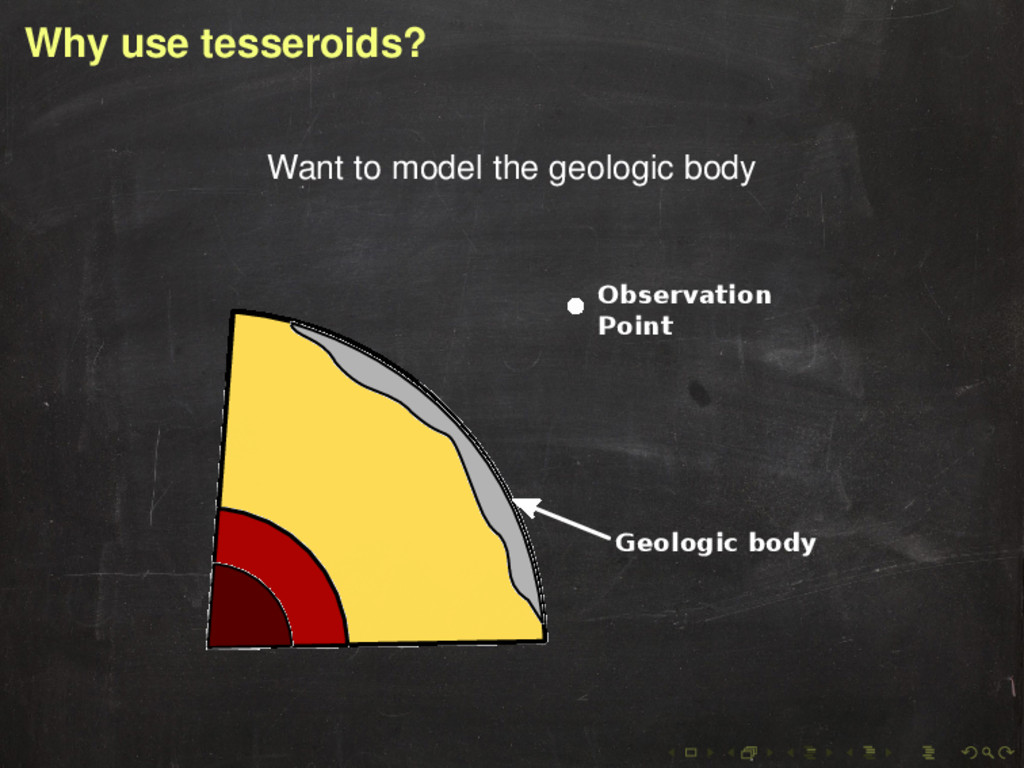
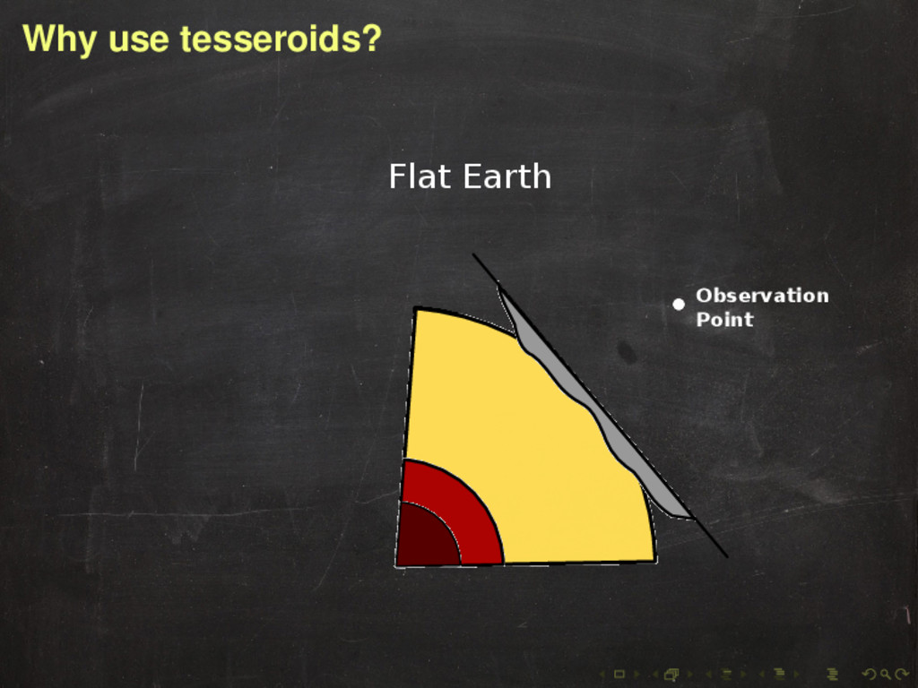
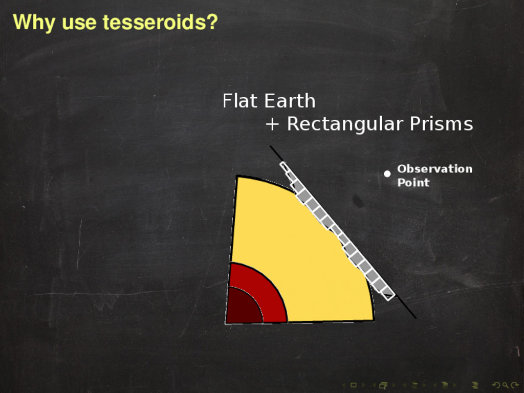
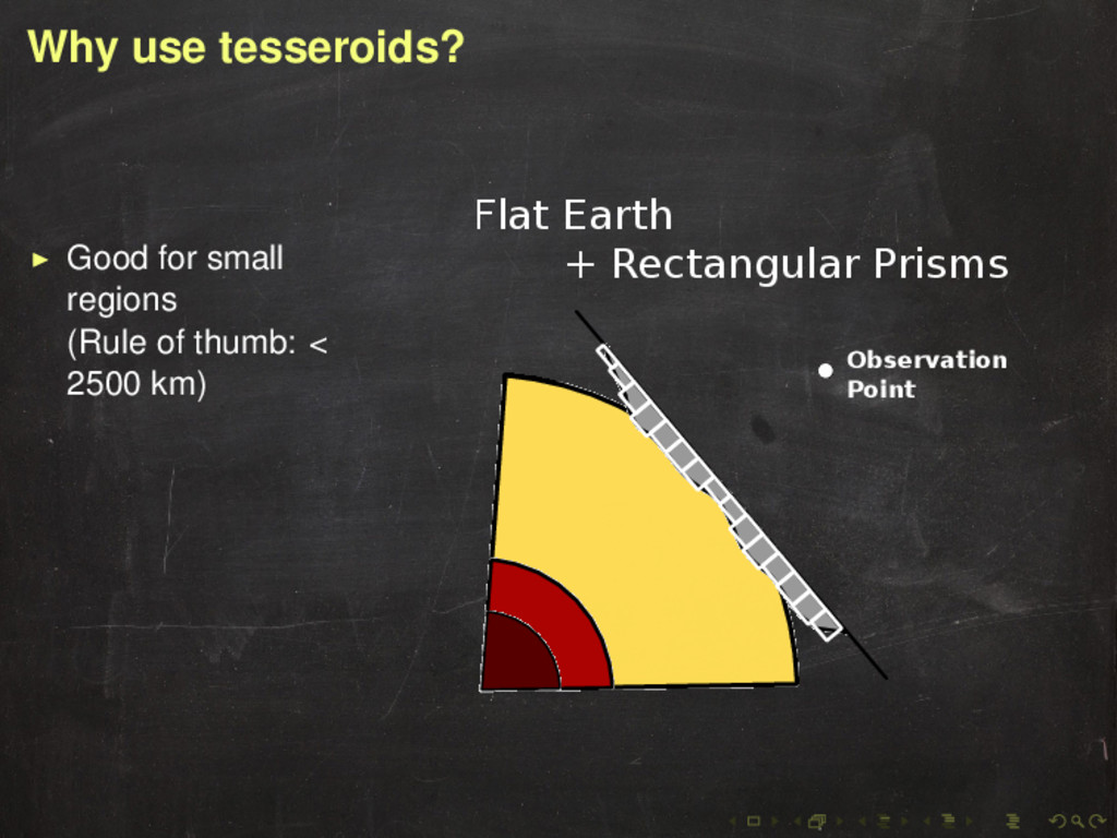
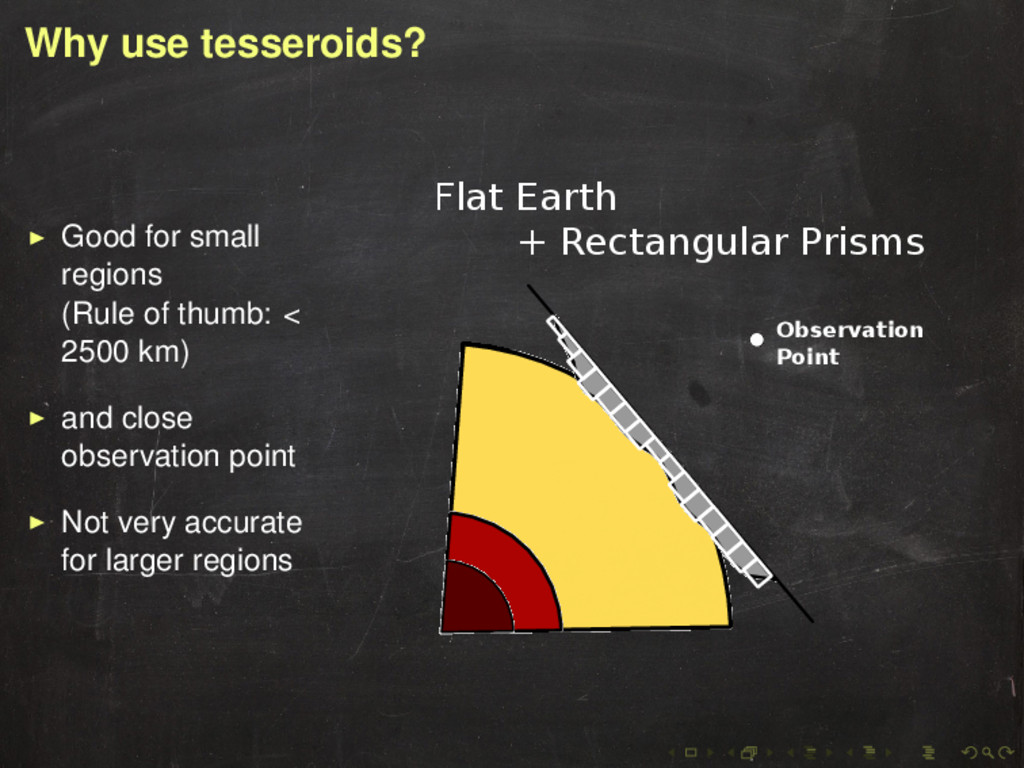
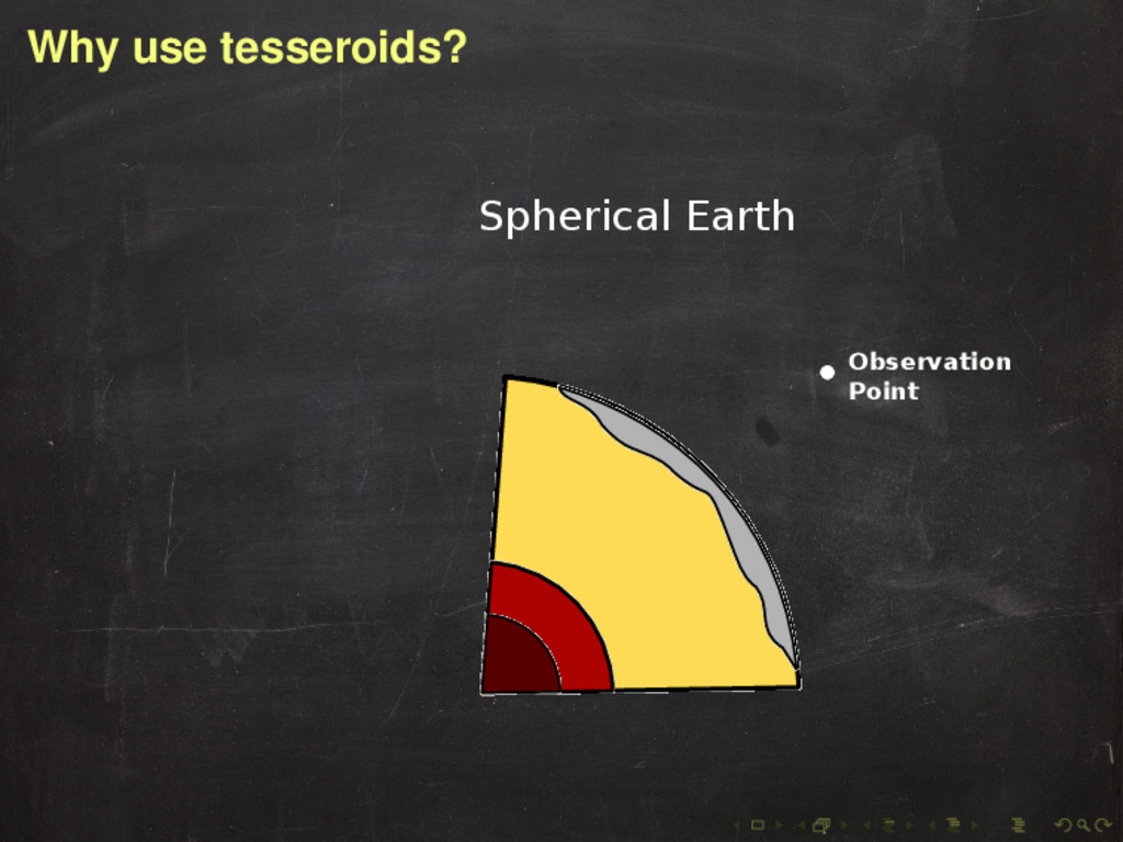
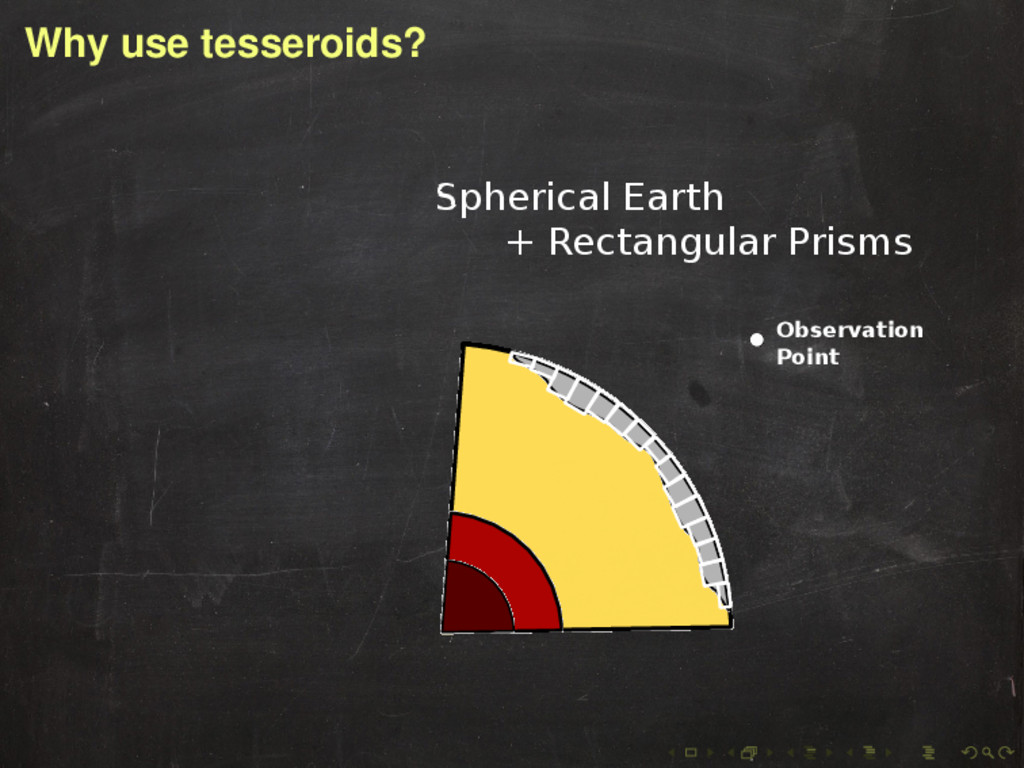
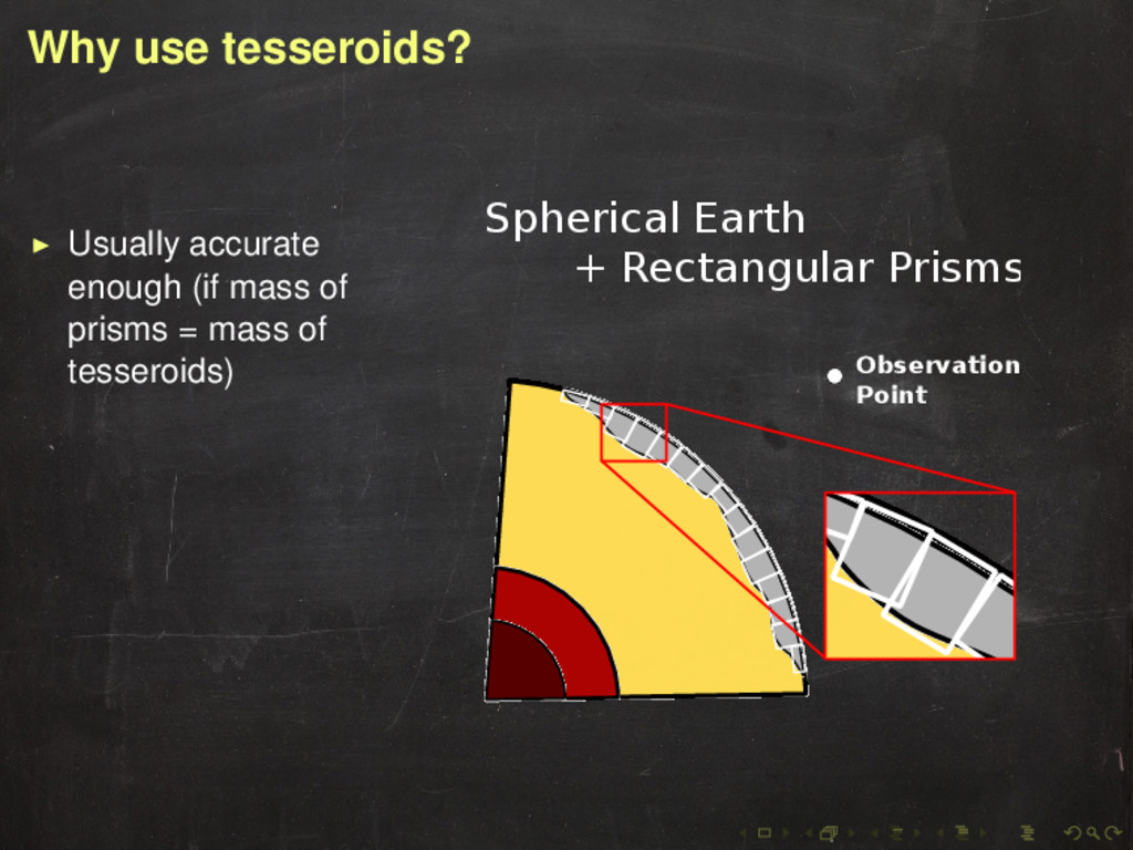
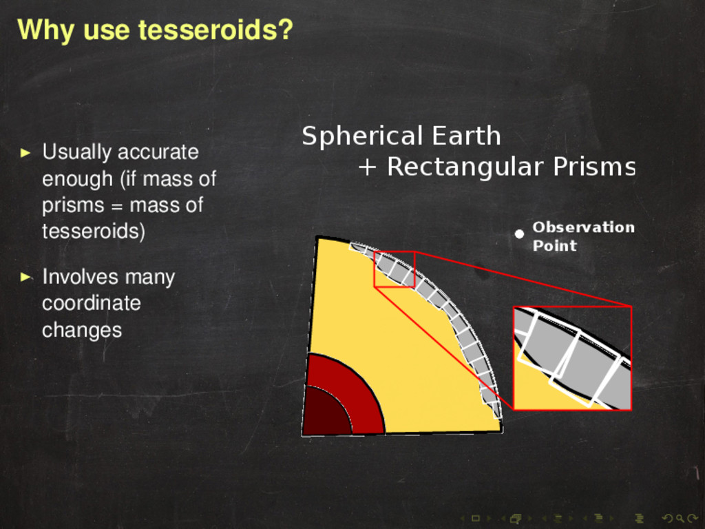
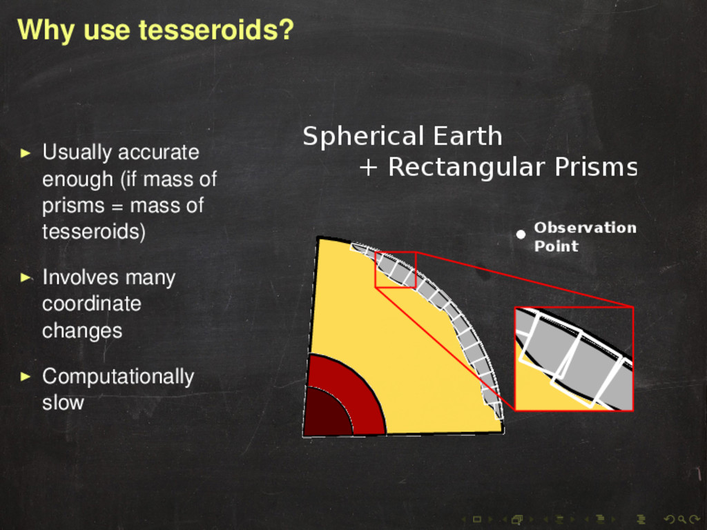
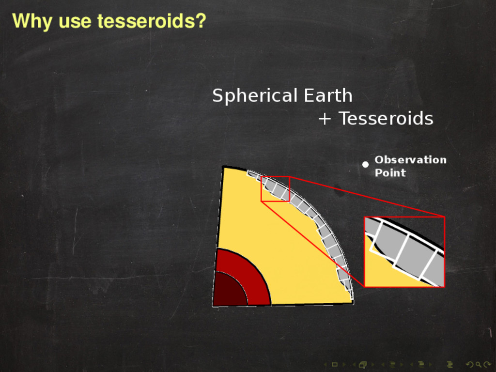
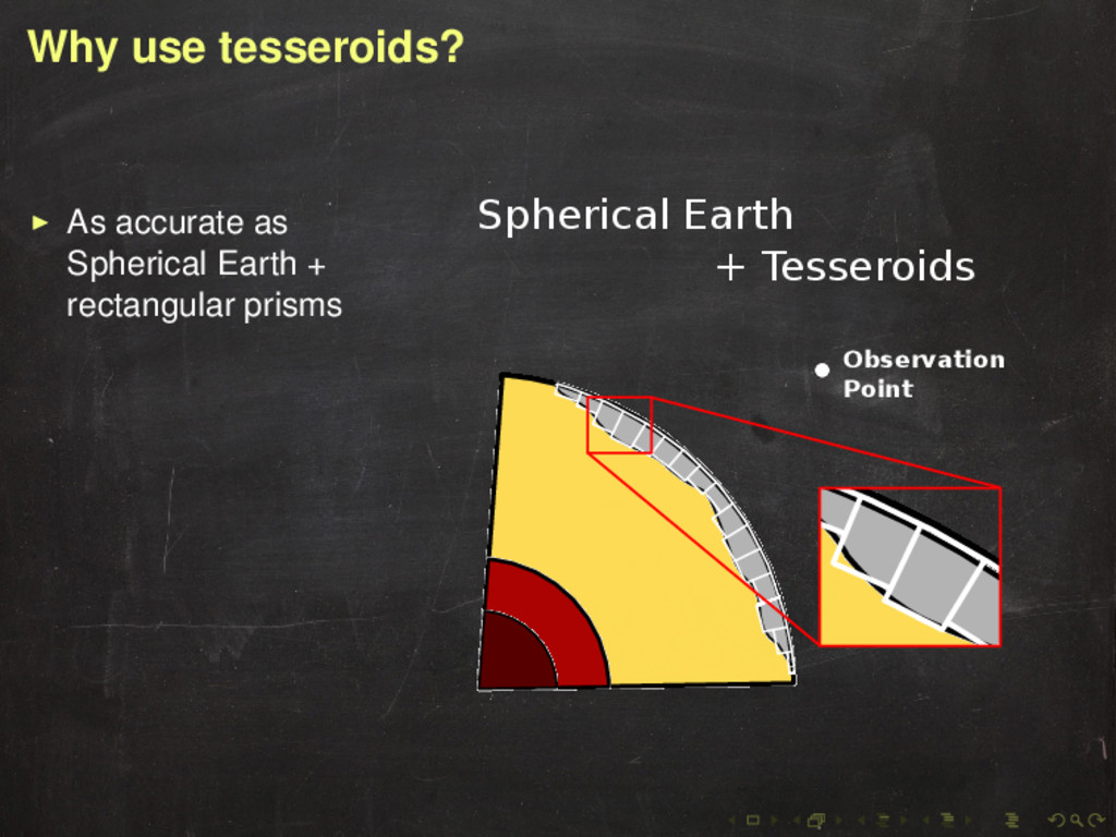
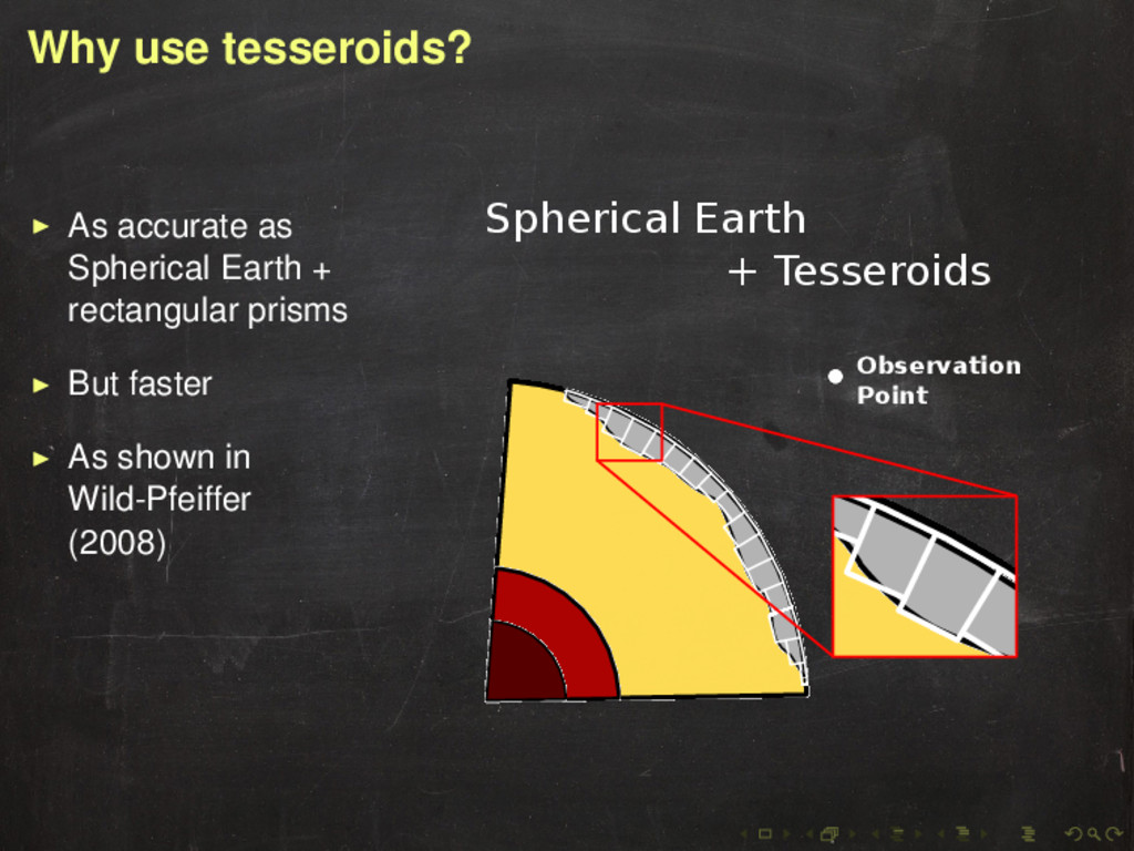
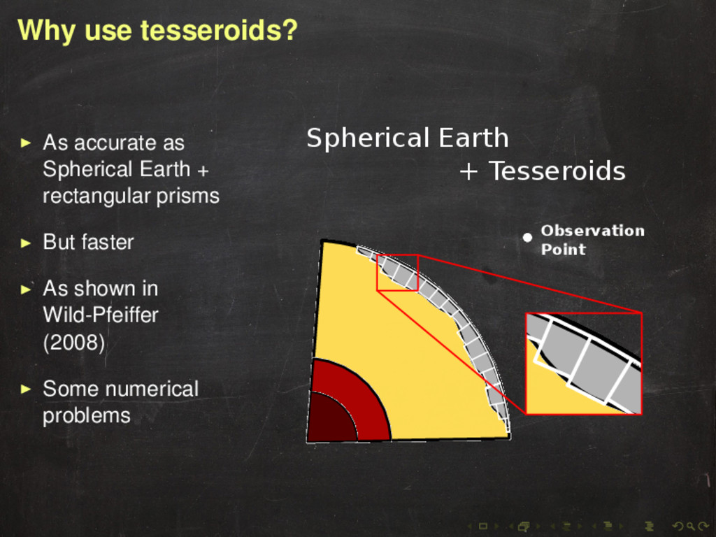
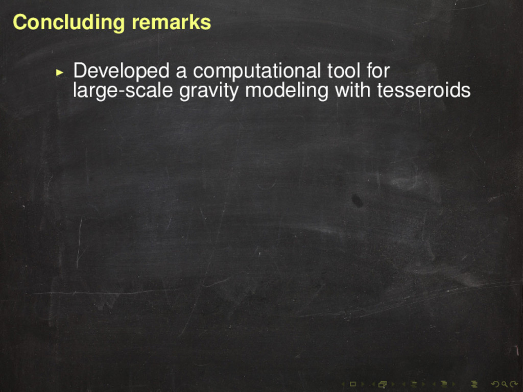
with tesseroids Better use tesseroids than rectangular prisms for large regions Take topographic effect into consideration when modeling density anomalies within the Earth
with tesseroids Better use tesseroids than rectangular prisms for large regions Take topographic effect into consideration when modeling density anomalies within the Earth Possible application: tesseroids in regional/global gravity inversion