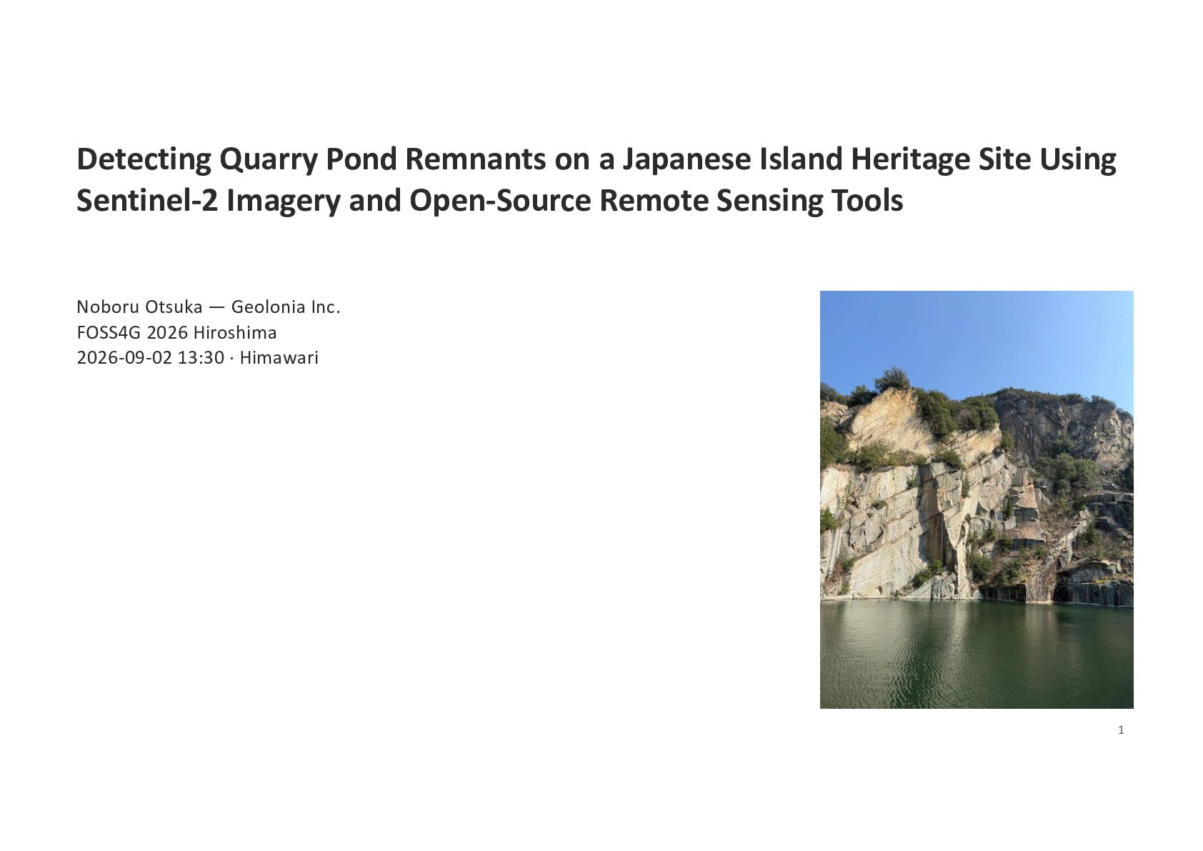
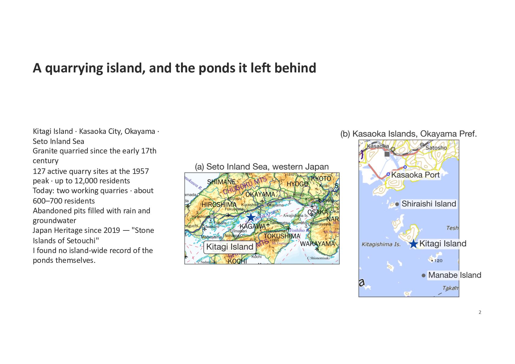
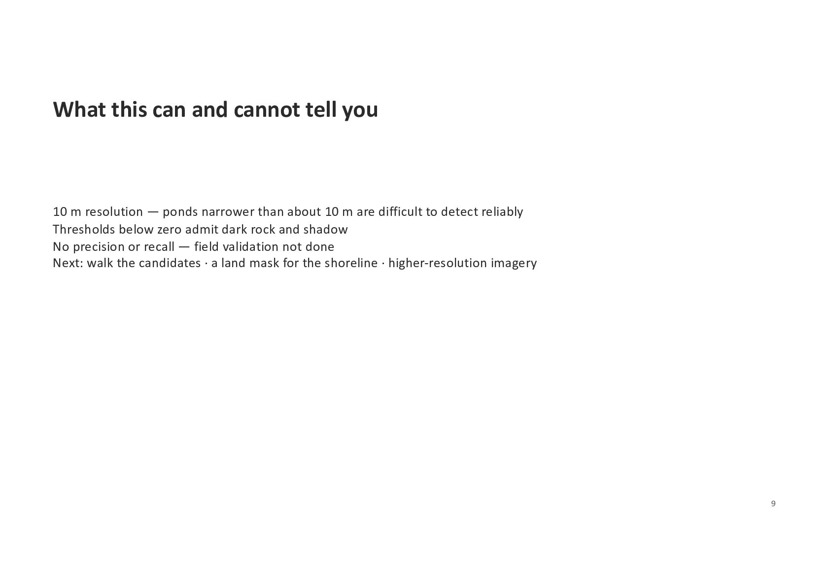
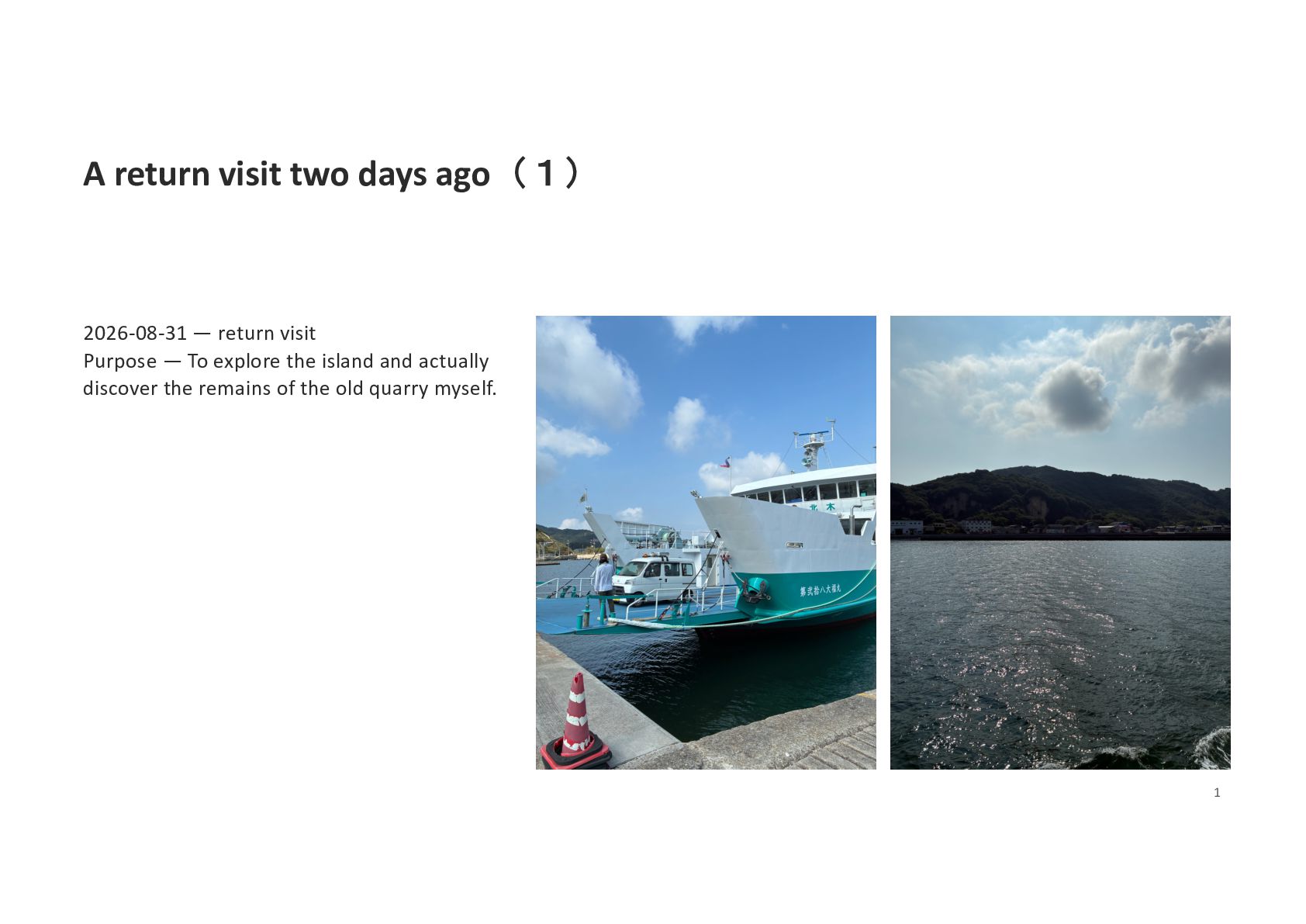
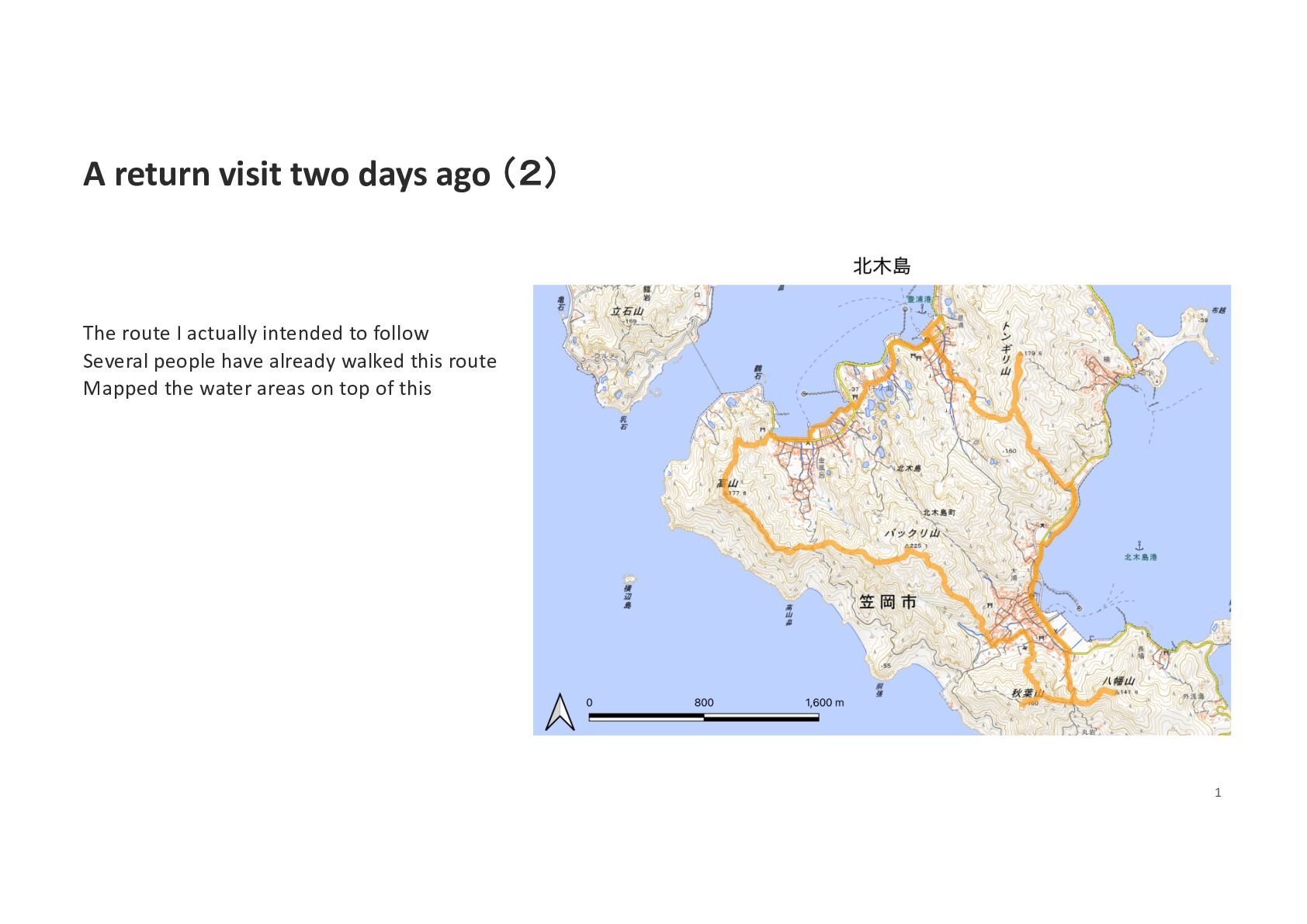
Island · Kasaoka City, Okayama · Seto Inland Sea Granite quarried since the early 17th century 127 active quarry sites at the 1957 peak · up to 12,000 residents Today: two working quarries · about 600–700 residents Abandoned pits filled with rain and groundwater Japan Heritage since 2019 — "Stone Islands of Setouchi" I found no island-wide record of the ponds themselves. 2
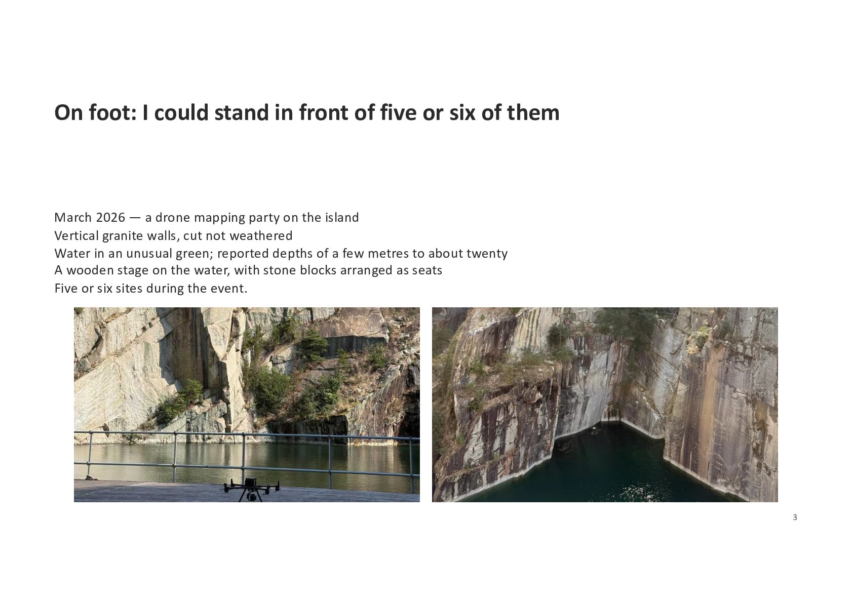
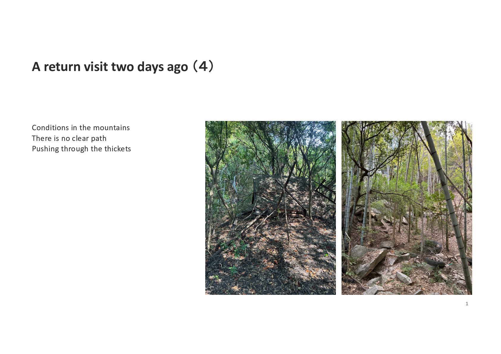
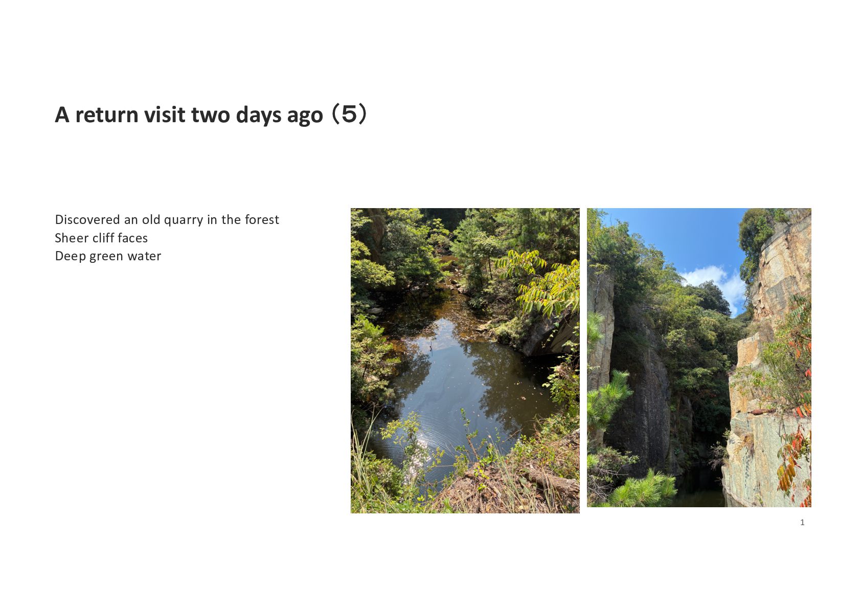
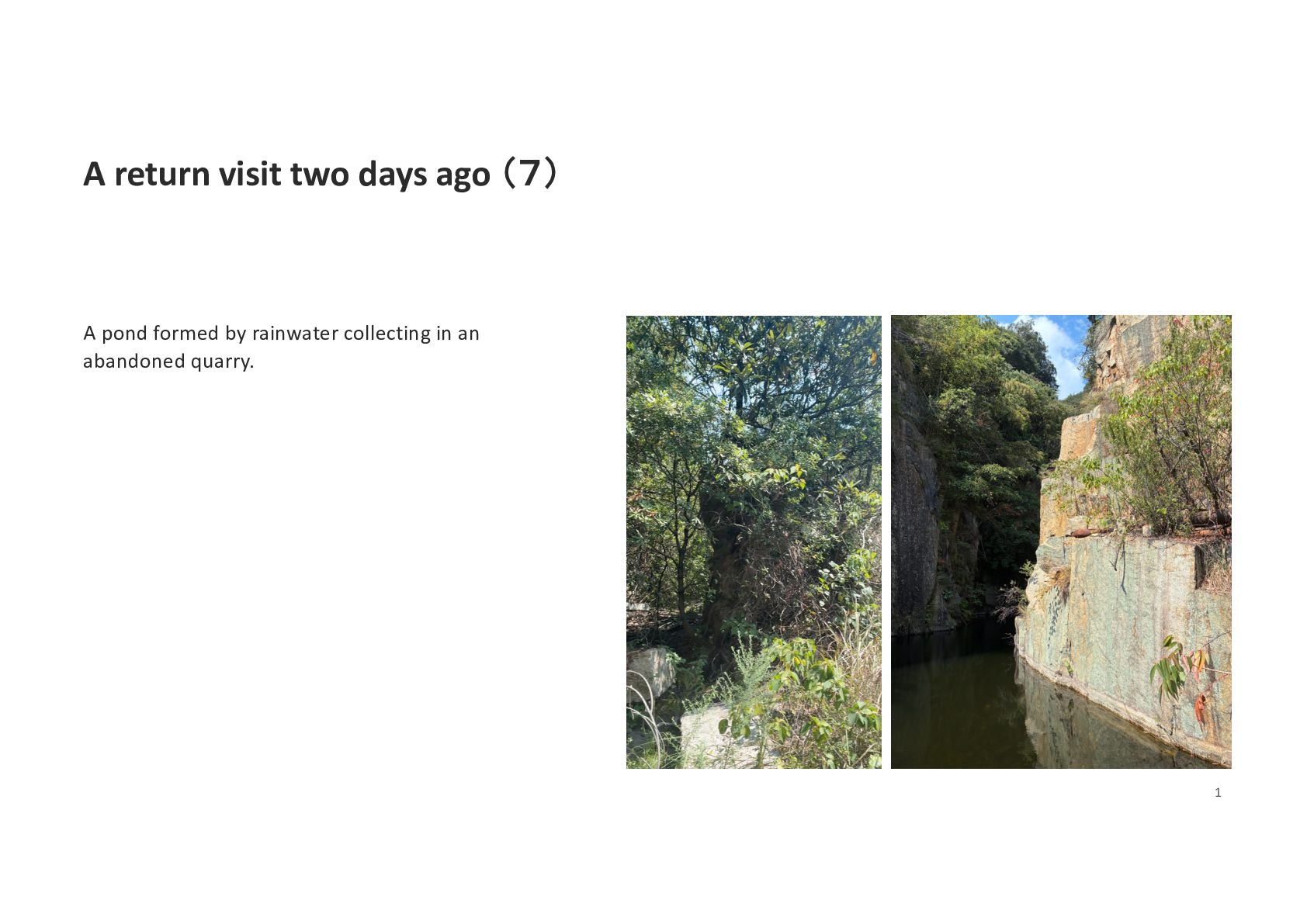
six of them March 2026 — a drone mapping party on the island Vertical granite walls, cut not weathered Water in an unusual green; reported depths of a few metres to about twenty A wooden stage on the water, with stone blocks arranged as seats Five or six sites during the event. 3
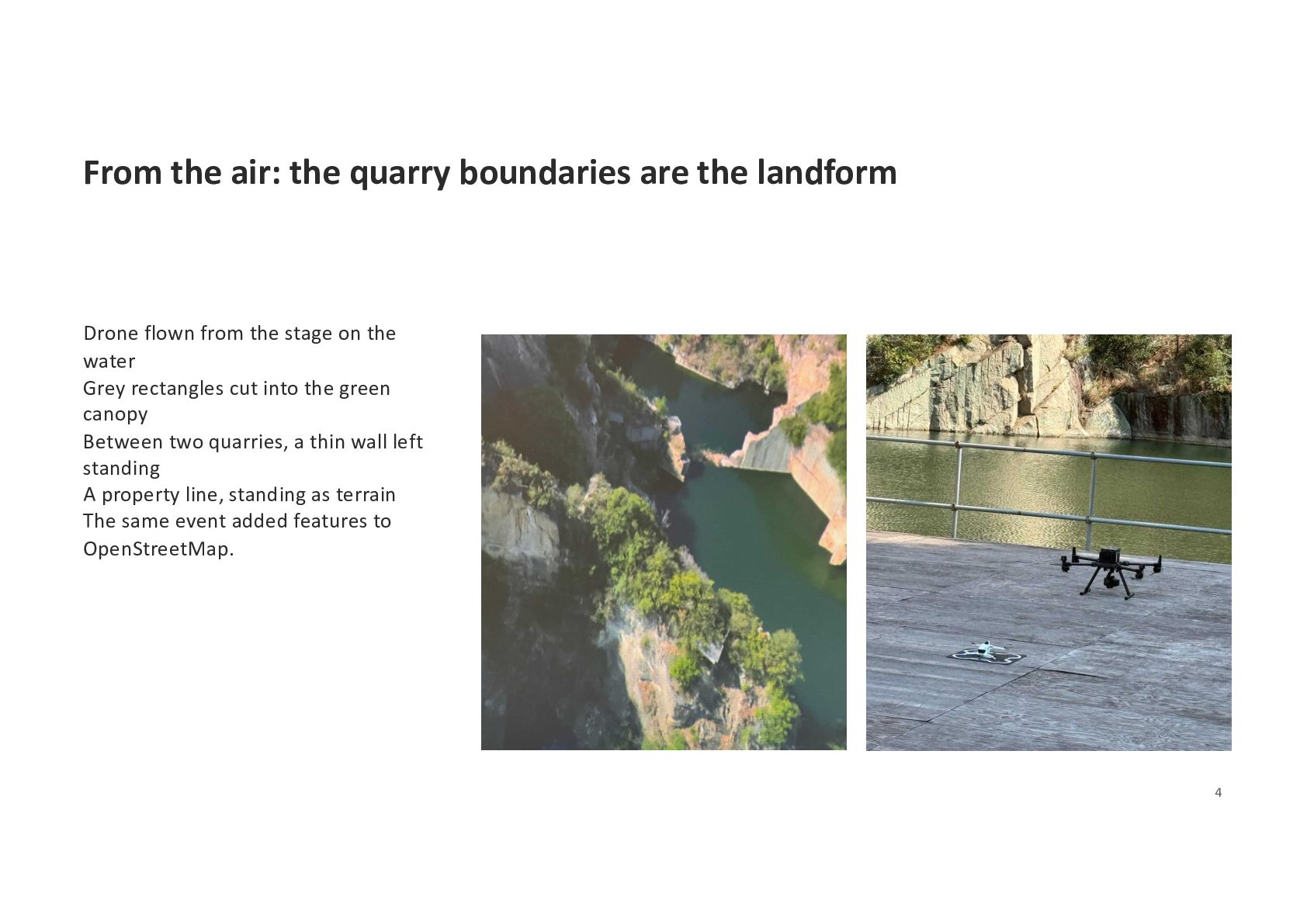
flown from the stage on the water Grey rectangles cut into the green canopy Between two quarries, a thin wall left standing A property line, standing as terrain The same event added features to OpenStreetMap. 4
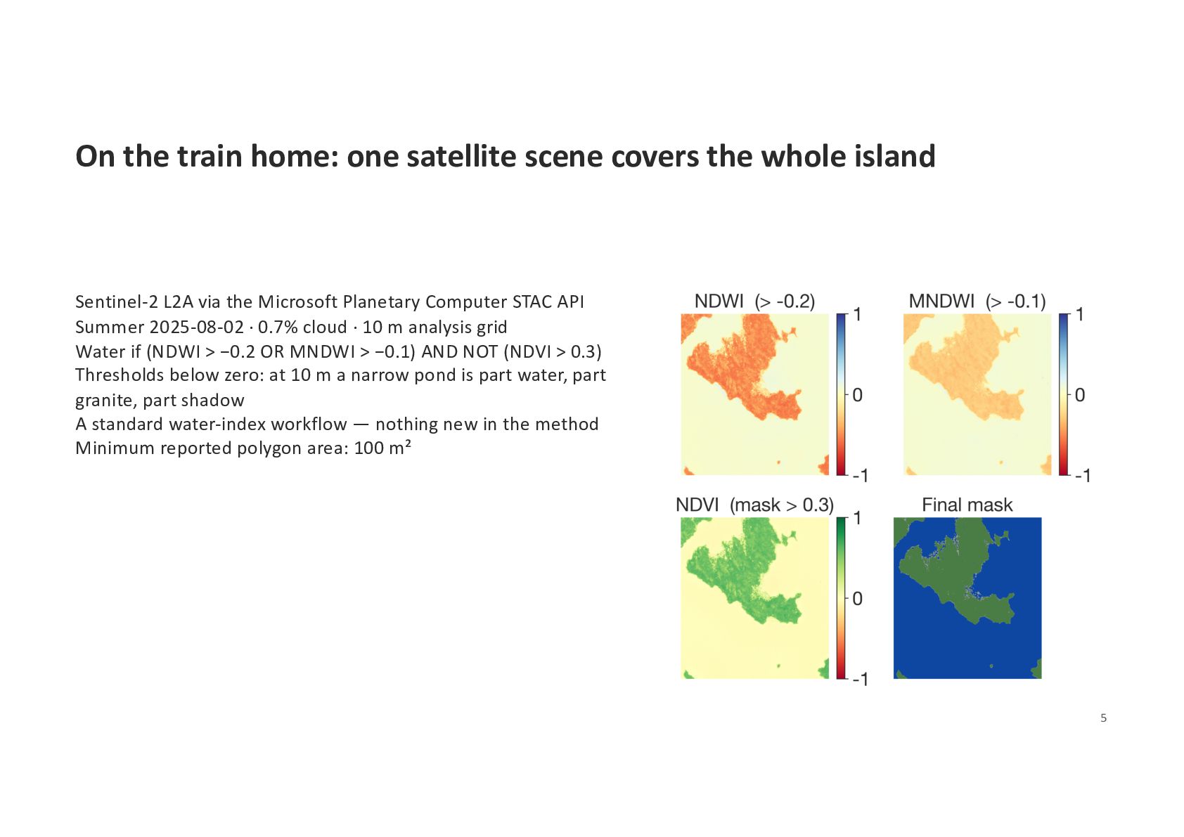
island Sentinel-2 L2A via the Microsoft Planetary Computer STAC API Summer 2025-08-02 · 0.7% cloud · 10 m analysis grid Water if (NDWI > −0.2 OR MNDWI > −0.1) AND NOT (NDVI > 0.3) Thresholds below zero: at 10 m a narrow pond is part water, part granite, part shadow A standard water-index workflow — nothing new in the method Minimum reported polygon area: 100 m² 5
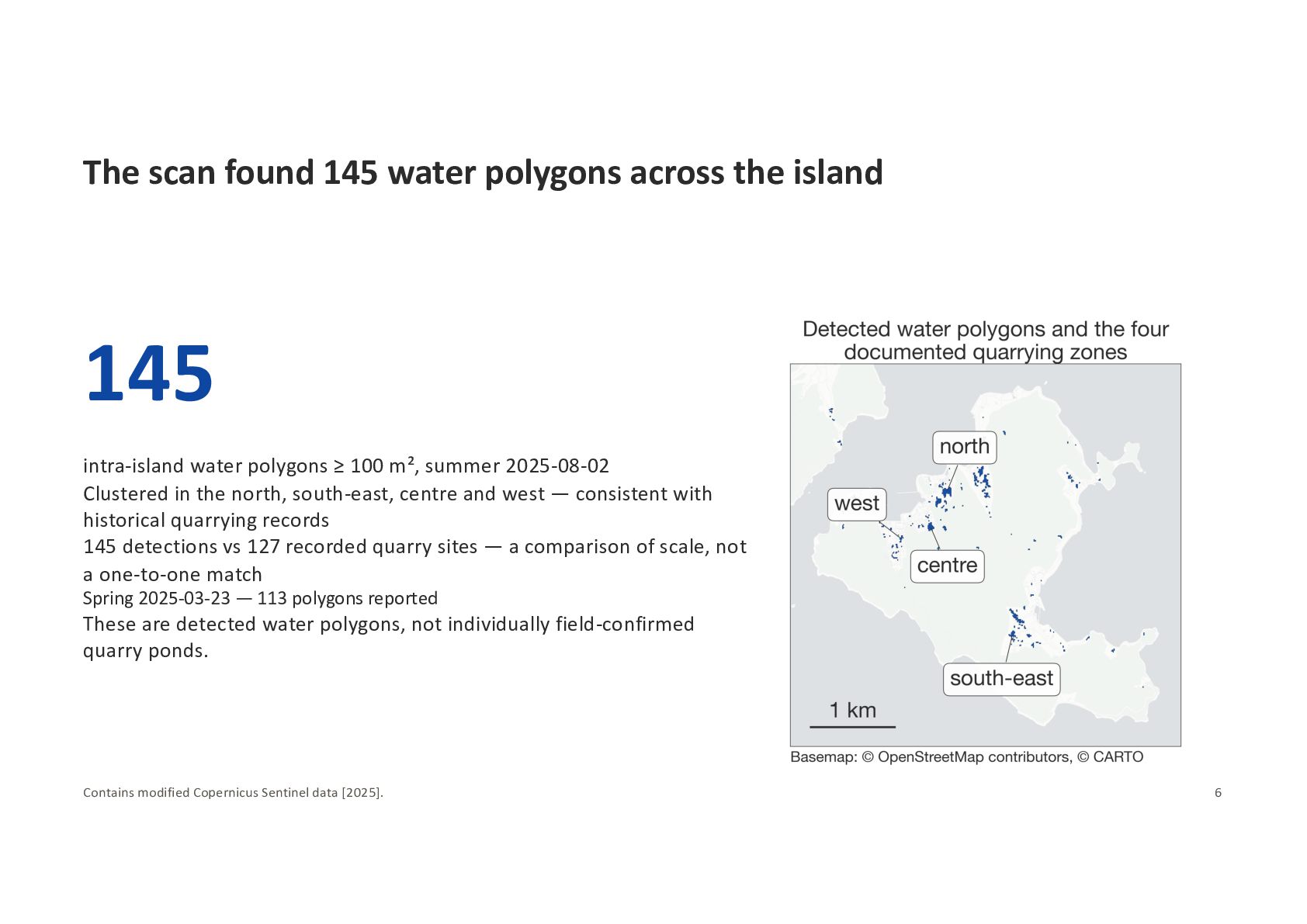
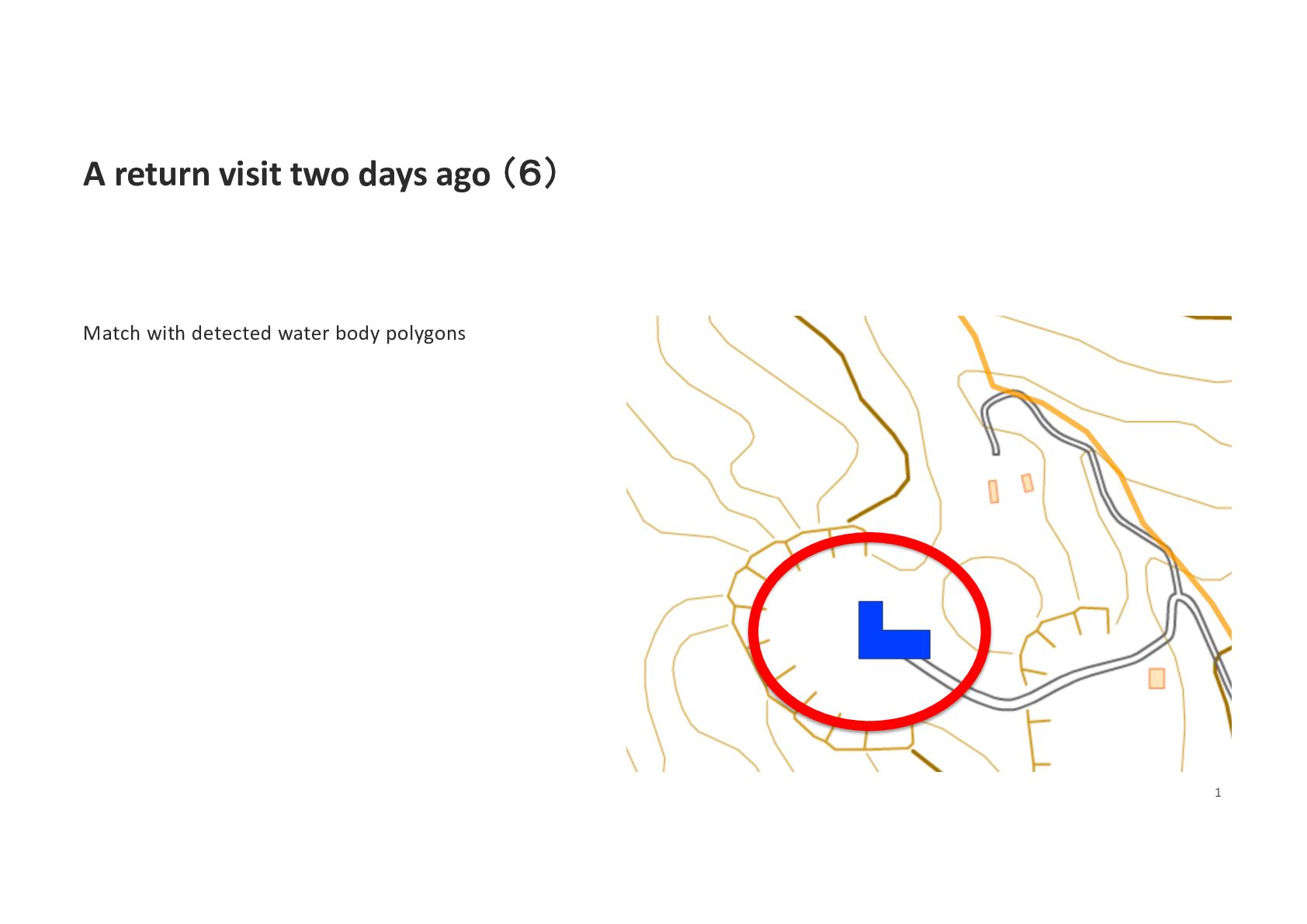
intra-island water polygons ≥ 100 m², summer 2025-08-02 Clustered in the north, south-east, centre and west — consistent with historical quarrying records 145 detections vs 127 recorded quarry sites — a comparison of scale, not a one-to-one match Spring 2025-03-23 — 113 polygons reported These are detected water polygons, not individually field-confirmed quarry ponds. Contains modified Copernicus Sentinel data [2025]. 6
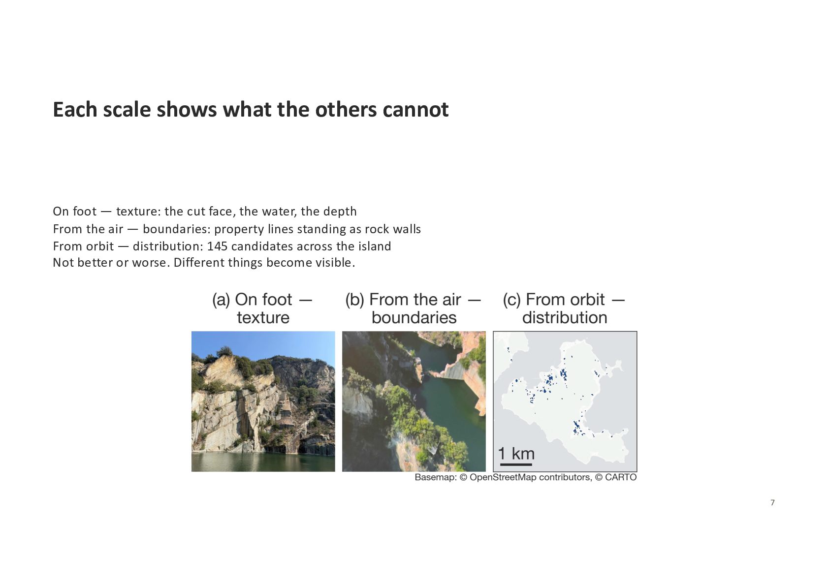
texture: the cut face, the water, the depth From the air — boundaries: property lines standing as rock walls From orbit — distribution: 145 candidates across the island Not better or worse. Different things become visible. 7
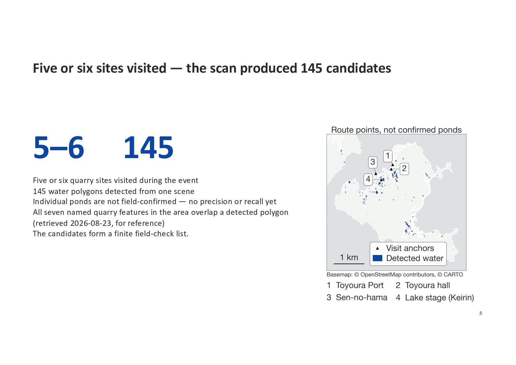
candidates 5–6 145 Five or six quarry sites visited during the event 145 water polygons detected from one scene Individual ponds are not field-confirmed — no precision or recall yet All seven named quarry features in the area overlap a detected polygon (retrieved 2026-08-23, for reference) The candidates form a finite field-check list. 8
— ponds narrower than about 10 m are difficult to detect reliably Thresholds below zero admit dark rock and shadow No precision or recall — field validation not done Next: walk the candidates · a land mask for the shoreline · higher-resolution imagery 9
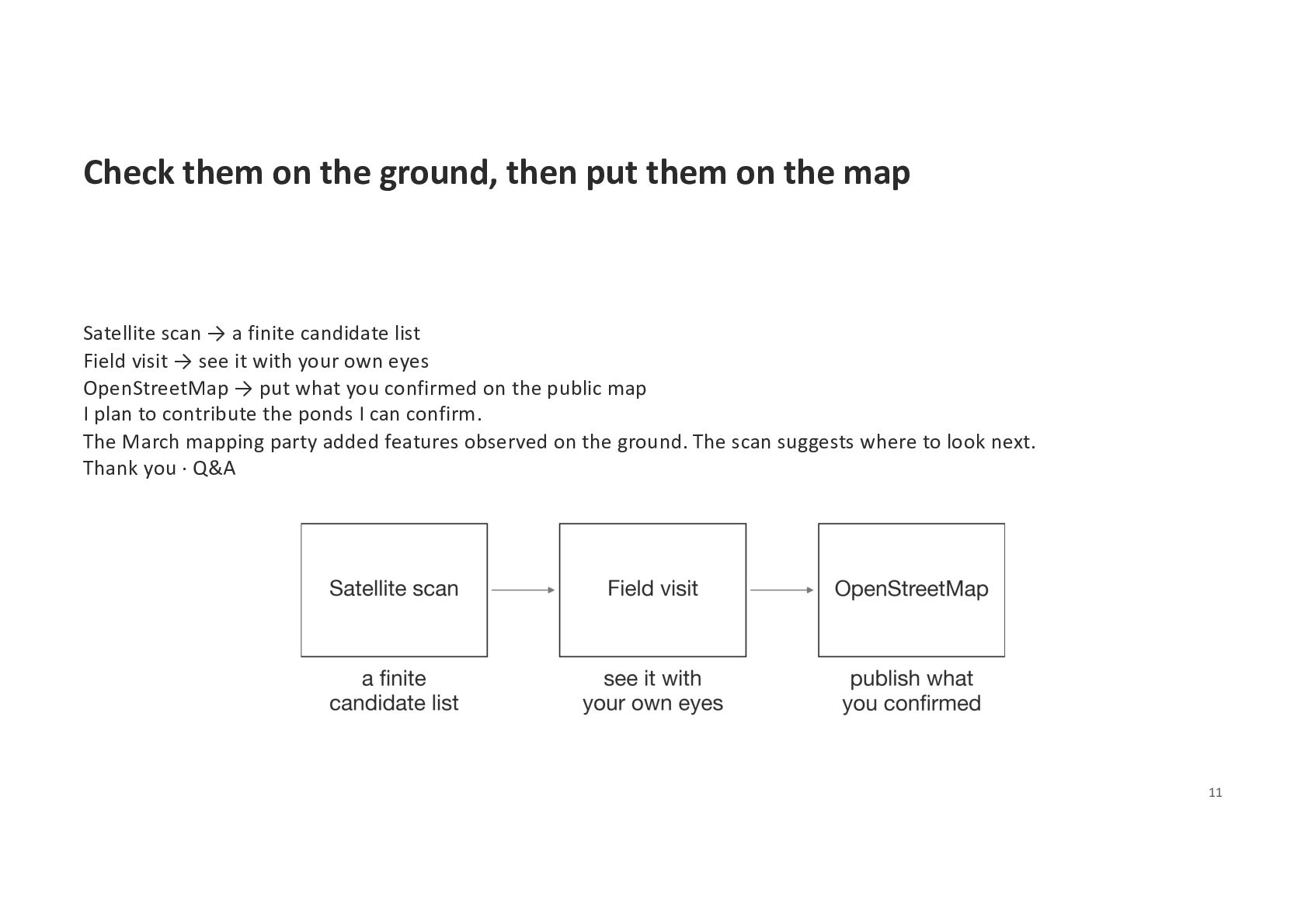
map Satellite scan → a finite candidate list Field visit → see it with your own eyes OpenStreetMap → put what you confirmed on the public map I plan to contribute the ponds I can confirm. The March mapping party added features observed on the ground. The scan suggests where to look next. Thank you · Q&A 11


 mopinfish
 thkt
thkt
 mewuto
 ueponx
 codmoninc
 ymrl
ymrl
 vivion
 sansantech
 harutiro
 nayuts
 furuton
 livesense
 masakane55
 jmmastey
 ryanjones
 chikuwait
 kevinliebholz
 davidcarrasco
 aleyda
 cassininazir
 bkeepers
 ipullrank
 rkendrick25
 denniskardys