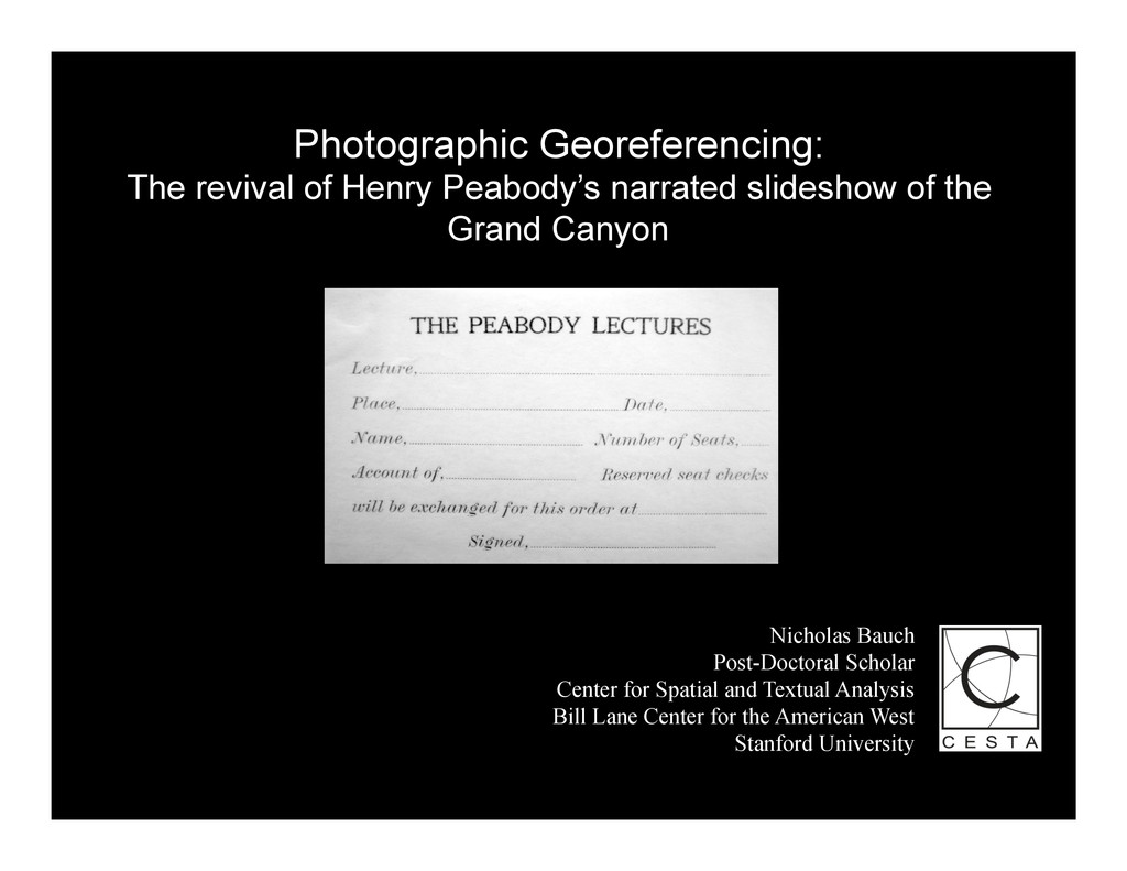
the Grand Canyon Nicholas Bauch Post-Doctoral Scholar Center for Spatial and Textual Analysis Bill Lane Center for the American West Stanford University
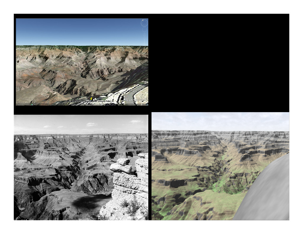
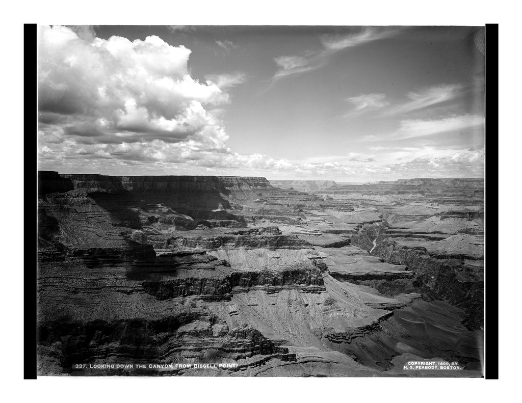
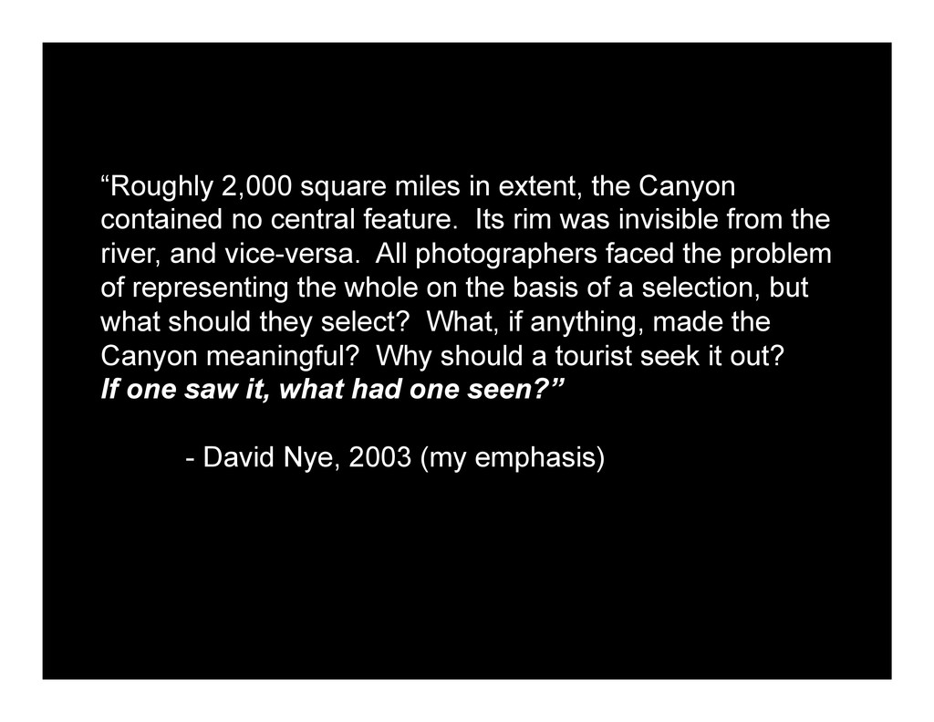
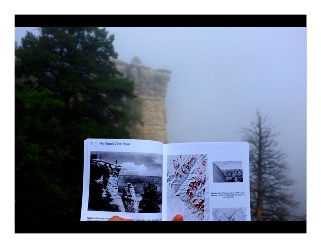
central feature. Its rim was invisible from the river, and vice-versa. All photographers faced the problem of representing the whole on the basis of a selection, but what should they select? What, if anything, made the Canyon meaningful? Why should a tourist seek it out? If one saw it, what had one seen?” - David Nye, 2003 (my emphasis)
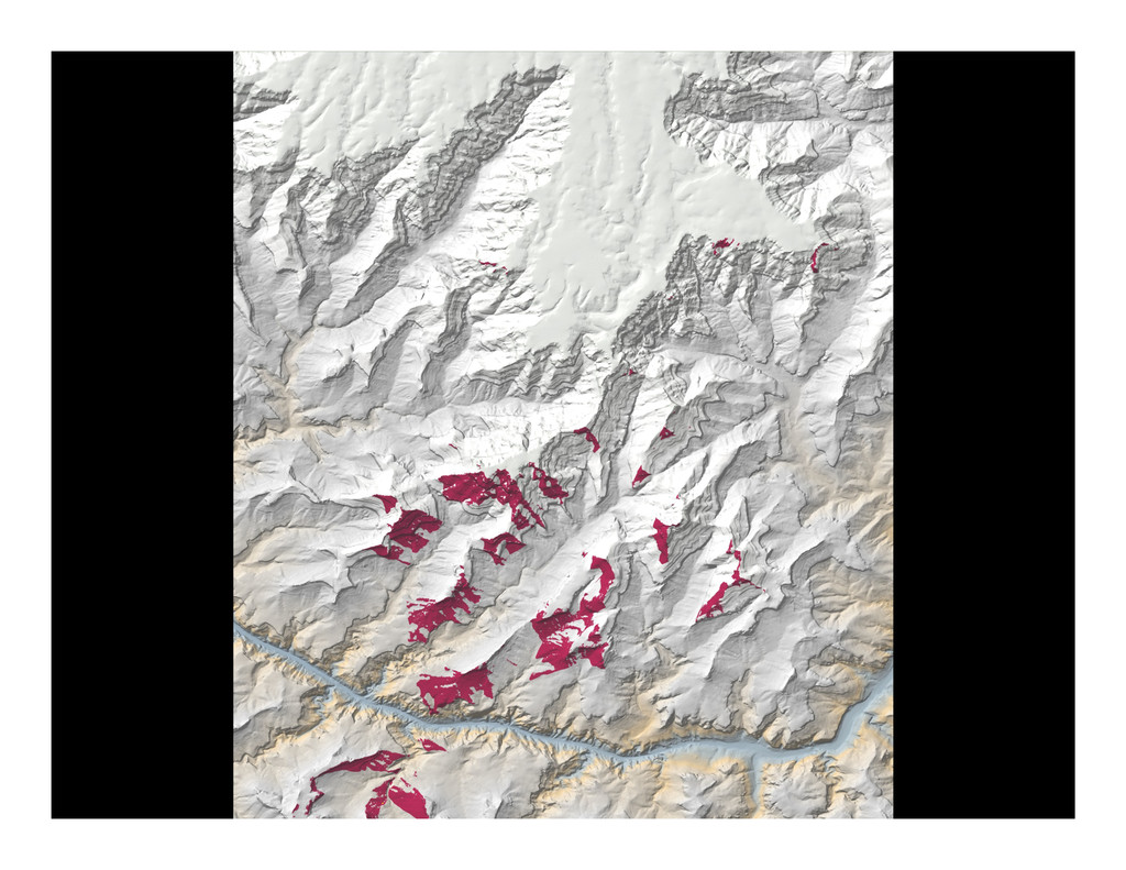
layers of homogenizing categories [point, line, area, size, arrangement, texture] communicates a geography of modernity, universality, detachment, and placelessness. In other words, it is a visual language more commonly used not to portray place, but to erase it.” - Margaret Pearce, 2008
![[9] Up to Marble Gorge and Painted Desert, from Desert](https://files.speakerdeck.com/presentations/b0e2c3a019160131364e326581e2e406/slide_2.jpg)
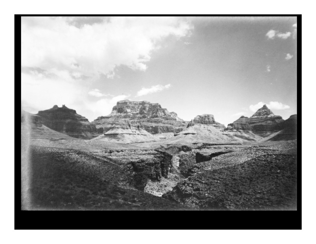
![[7] Up Grand Canyon, from Zuni Point](https://files.speakerdeck.com/presentations/b0e2c3a019160131364e326581e2e406/slide_3.jpg)
![[3] Angel's Gate, Wotan's Throne and Vishnu Temple](https://files.speakerdeck.com/presentations/b0e2c3a019160131364e326581e2e406/slide_12.jpg)
![“[In cartography] the visual aesthetic that results from those accumulated](https://files.speakerdeck.com/presentations/b0e2c3a019160131364e326581e2e406/slide_19.jpg)
![[37] Up Canyon to Shiva Temple, from Pt. Sublime (looking](https://files.speakerdeck.com/presentations/b0e2c3a019160131364e326581e2e406/slide_20.jpg)
![Contact:& & Nicholas&Bauch& [email protected]& www.nicholasbauch.com& &](https://files.speakerdeck.com/presentations/b0e2c3a019160131364e326581e2e406/slide_30.jpg)