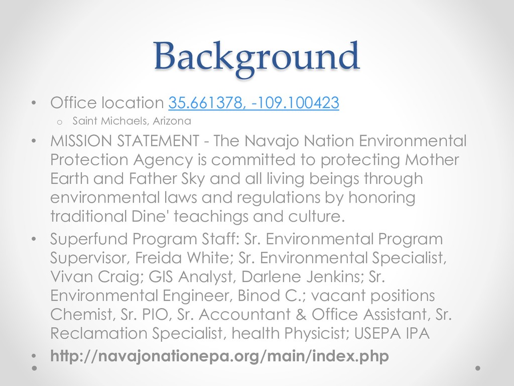
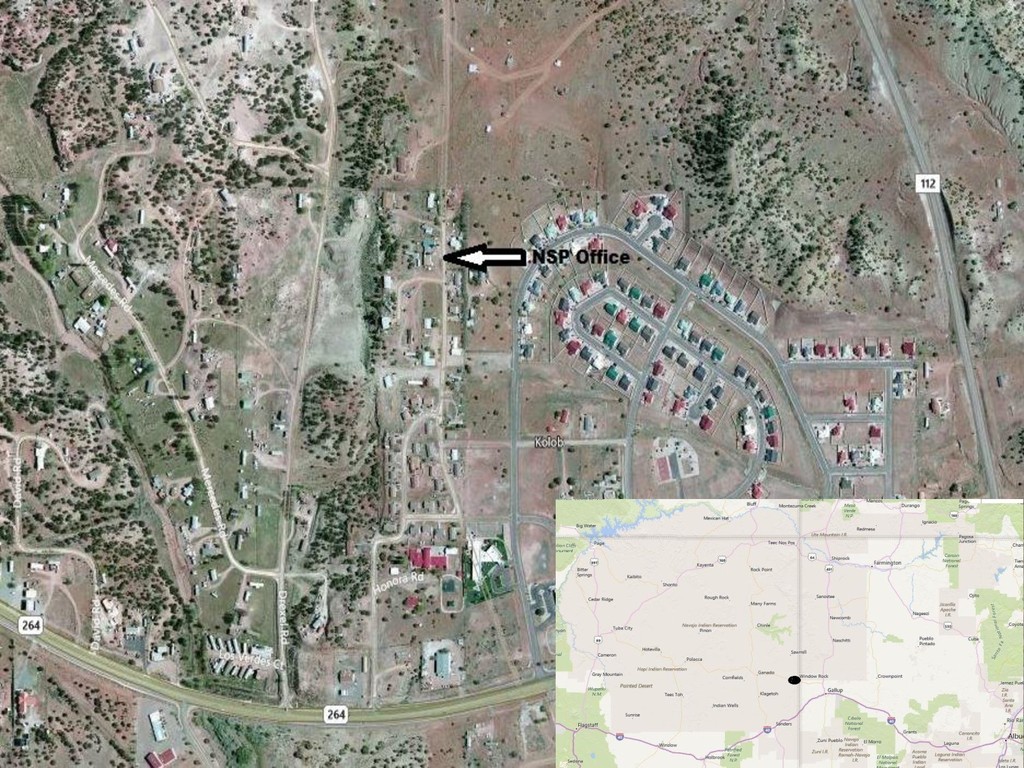
• MISSION STATEMENT - The Navajo Nation Environmental Protection Agency is committed to protecting Mother Earth and Father Sky and all living beings through environmental laws and regulations by honoring traditional Dine' teachings and culture. • Superfund Program Staff: Sr. Environmental Program Supervisor, Freida White; Sr. Environmental Specialist, Vivan Craig; GIS Analyst, Darlene Jenkins; Sr. Environmental Engineer, Binod C.; vacant positions Chemist, Sr. PIO, Sr. Accountant & Office Assistant, Sr. Reclamation Specialist, health Physicist; USEPA IPA • http://navajonationepa.org/main/index.php
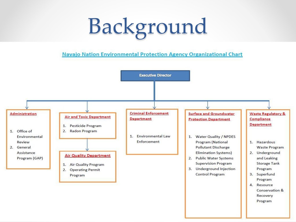
implementing the Navajo Nation CERCLA, 4 N.N.C. §§ 2101-2805, a statute enacted by the Navajo Nation Council in 2008 • NSP also implement the federal Comprehensive Environmental Response, Compensation, and Liability Act (“CERCLA”) • Superfund Sites • Brownfields Sites • Voluntary Cleanup • Emergency Response
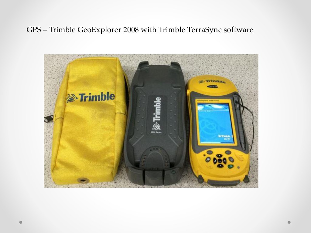
BIA Office of Trust Services Geospatial Support (OTSGS) offers • ESRI Enterprise License Enterprise (ELA) participant…offered to federal recognized tribes for no fee, web & instructor training. *The current ELA between ESRI and the DOI is valid through January 31, 2019 • Desktop ArcGIS 10.4 (ArcInfo) & extensions and X-Tools • Desktop Trimble GPS Pathfinder Office software • GPS unit – older Trimble GeoExplorer 2008 with Trimble TerraSync software • Google Earth Pro – no fee nwo
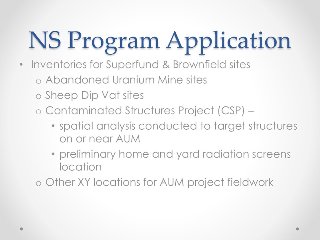
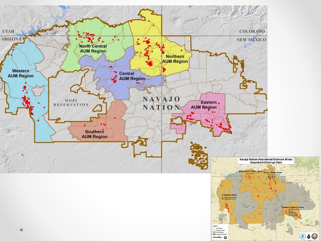
o Abandoned Uranium Mine sites o Sheep Dip Vat sites o Contaminated Structures Project (CSP) – • spatial analysis conducted to target structures on or near AUM • preliminary home and yard radiation screens location o Other XY locations for AUM project fieldwork
in the Navajo Land Title Data System (NLTDS) new o Homesite Leases for Tribal members • 2000 ft buffer o Navajo Housing Authority , Navajo DOT & Consultants • Former Bennett Freeze Area (FBFA) o NLD gathering department data for their DB o Integrated Resource Management Plan (IRMP) • Development & improvement of infrastructures • USEPA Tribal Land Clean-up Portal (TLC) development o Alpha release July 2016 o Centralized DB location for all data for all partners o Weston Solutions, partners
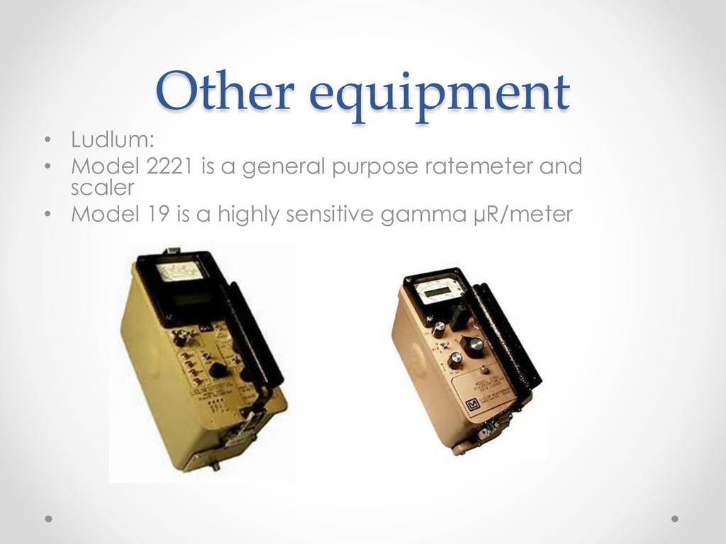
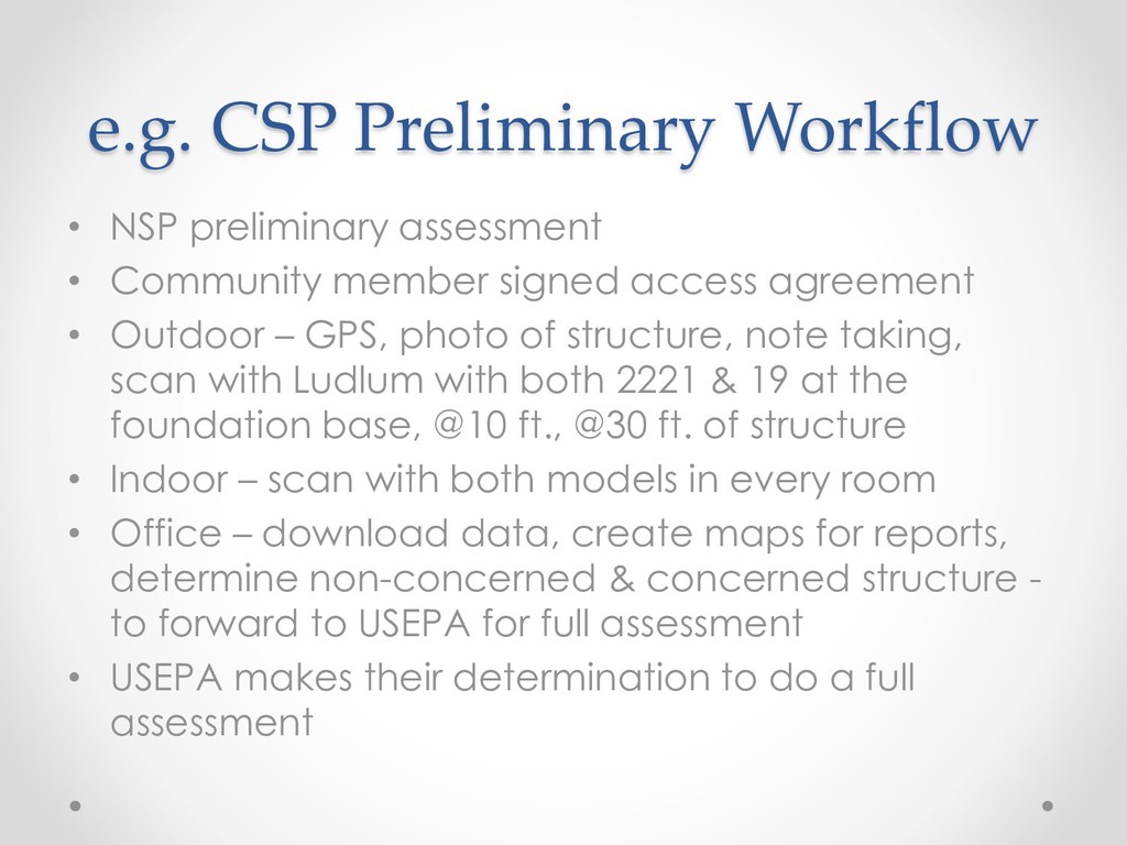
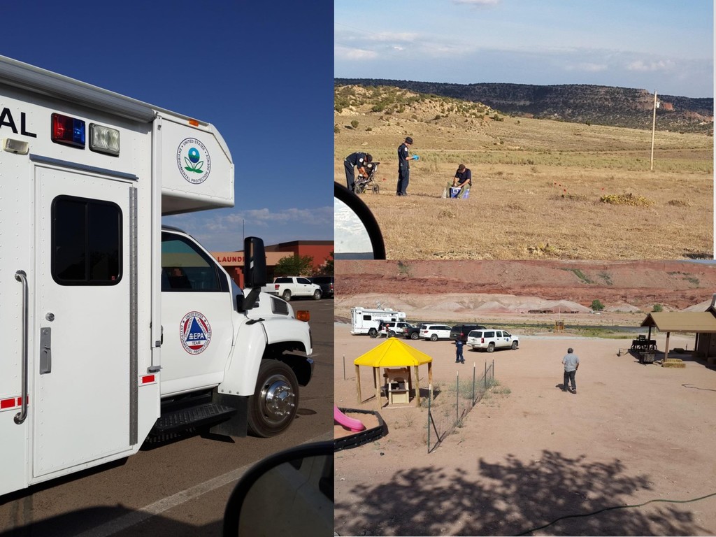
member signed access agreement • Outdoor – GPS, photo of structure, note taking, scan with Ludlum with both 2221 & 19 at the foundation base, @10 ft., @30 ft. of structure • Indoor – scan with both models in every room • Office – download data, create maps for reports, determine non-concerned & concerned structure - to forward to USEPA for full assessment • USEPA makes their determination to do a full assessment
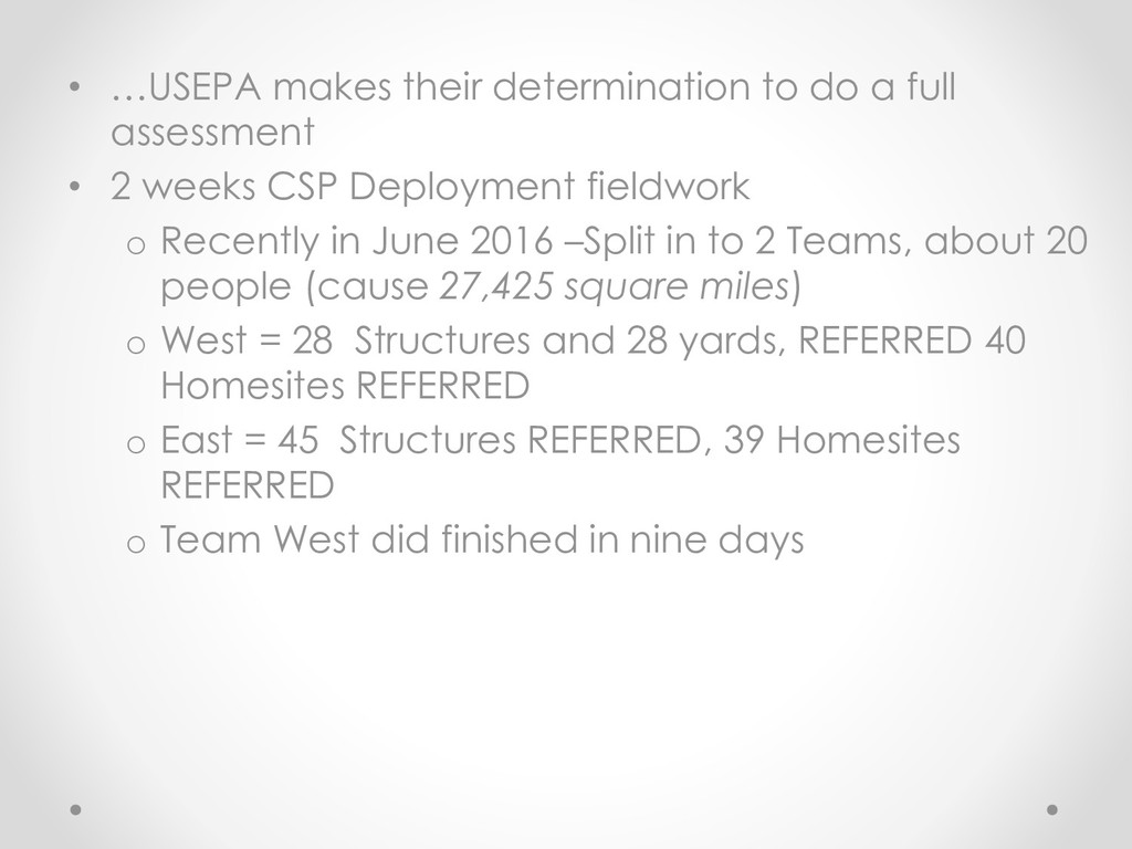
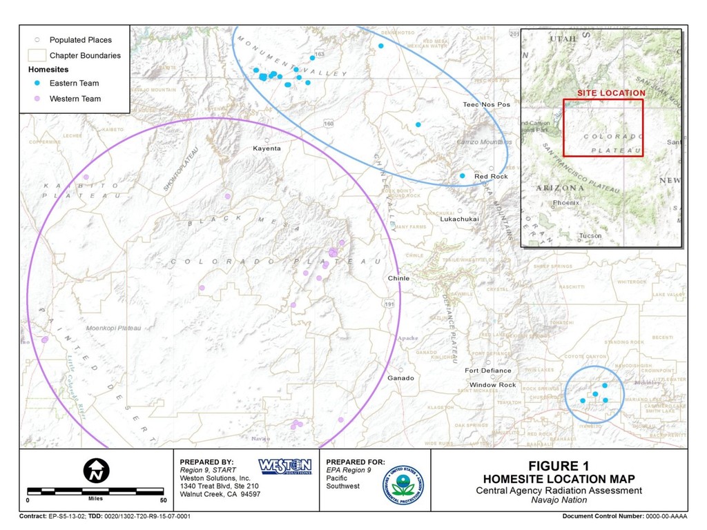
• 2 weeks CSP Deployment fieldwork o Recently in June 2016 –Split in to 2 Teams, about 20 people (cause 27,425 square miles) o West = 28 Structures and 28 yards, REFERRED 40 Homesites REFERRED o East = 45 Structures REFERRED, 39 Homesites REFERRED o Team West did finished in nine days
technologies will expand o drone usage o mobile phone & custom apps o Light Detection and Ranging LiDAR data mapping o continue to update hardware & software • NSP will get a new building


 rezsheepie
 occhi
 riyaamemiya
 gogutan
 willnet
 persolserverworks
 pfn
 codatum
 bgpat
 satomasahiro2005
 yahonda
 kairim0
 techtekt
 codingconduct
 palkan
 katiecoart
 bkeepers
 axbom
 aleyda
 kneath
 chriscoyier
 dugsong
 geshan
 cassininazir
 davidcarrasco