Upgrade to Pro — share decks privately, control downloads, hide ads and more …

Open cloud-native access to Environment Agency ...

Sponsored · Your Podcast. Everywhere. Effortlessly. Share. Educate. Inspire. Entertain. You do you. We'll handle the rest. →
Avatar for Robin Wilson Robin Wilson
October 27, 2026
2

Open cloud-native access to Environment Agency DEM data using STAC and COG

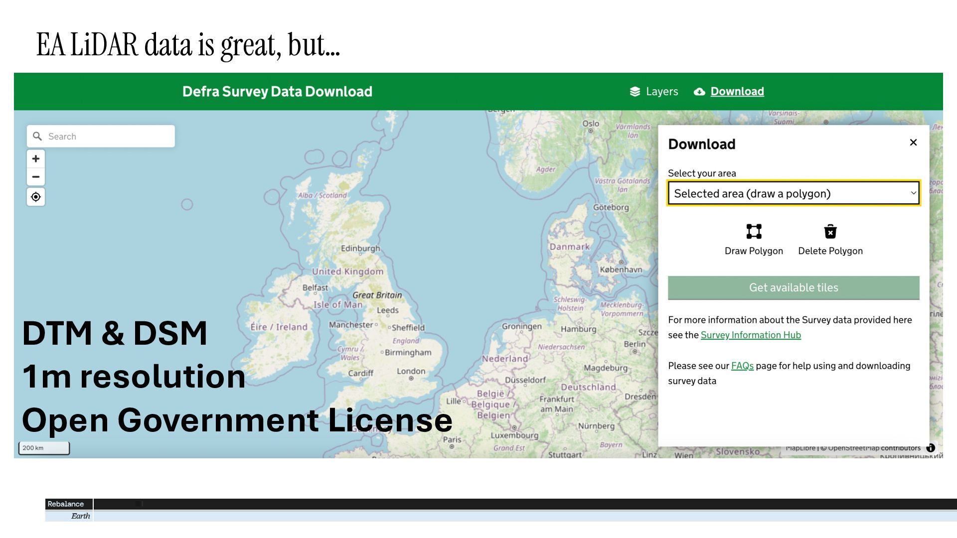
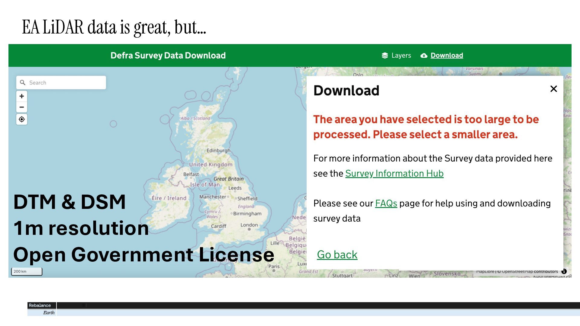
The Environment Agency provides openly-licensed LiDAR-derived DEM data covering the whole of England, but it is difficult to access this data. The web interface only allows downloads of small areas, manual bulk downloads produce hundreds of small TIFF files and the web map services have limited visualisation options. At Rebalance Earth, we needed easy access to large volumes of DEM data to analyse flood risk and design nature-based restorations to reduce flooding.

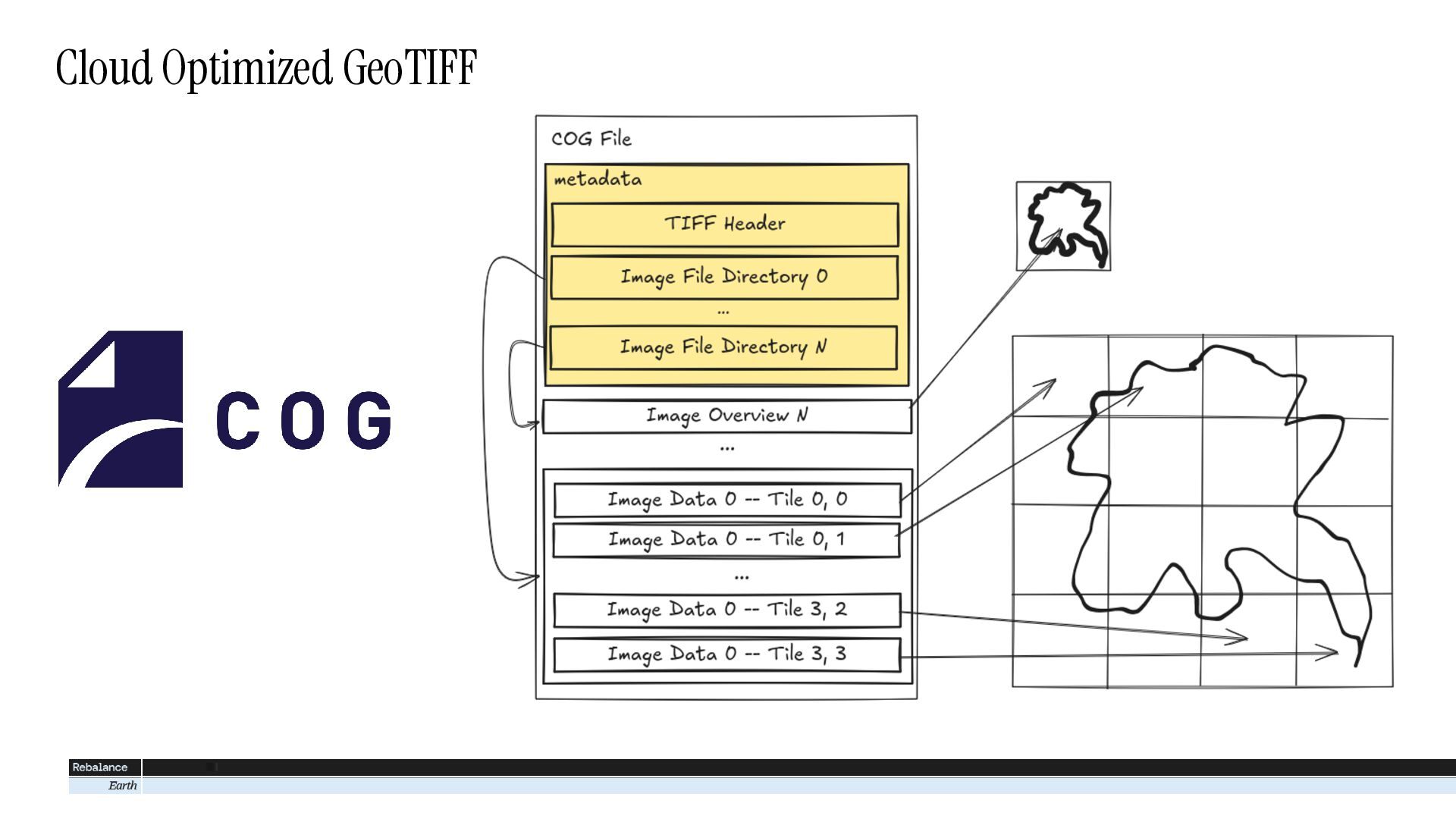
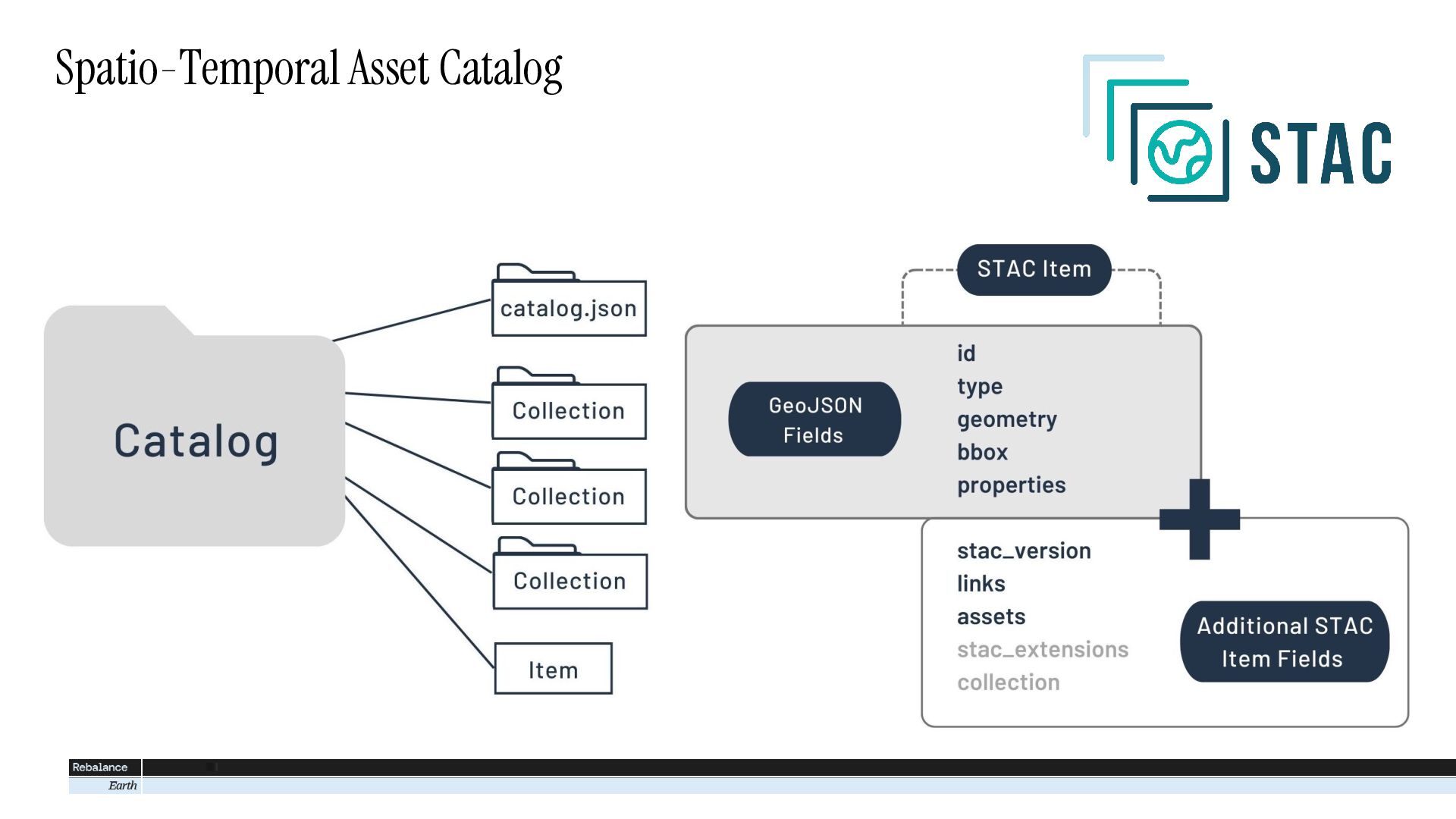
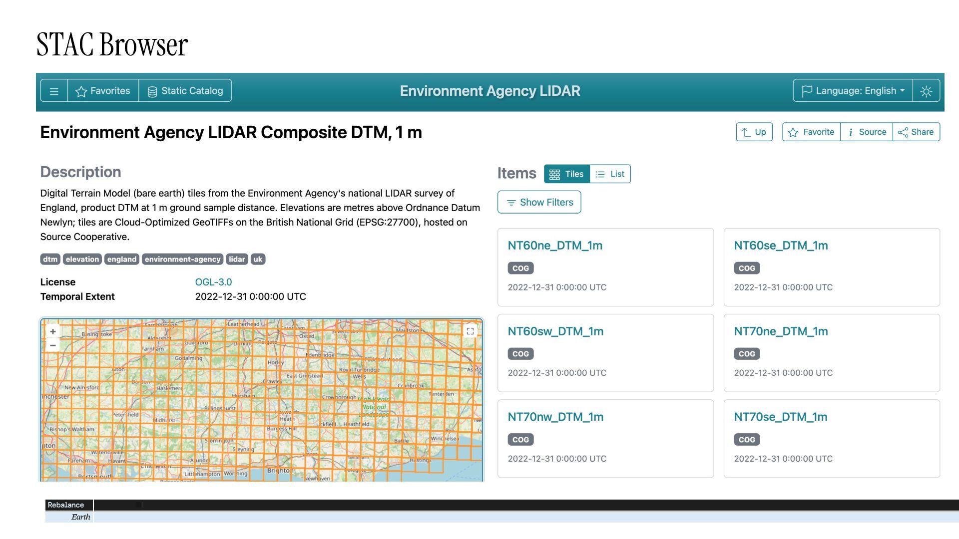
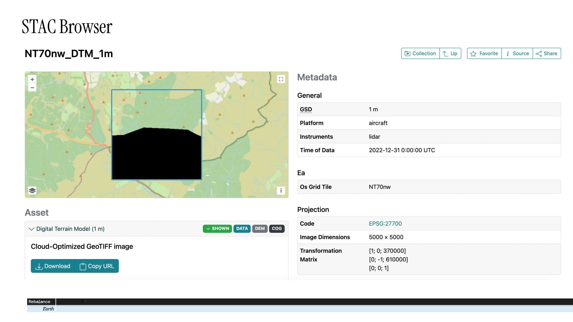
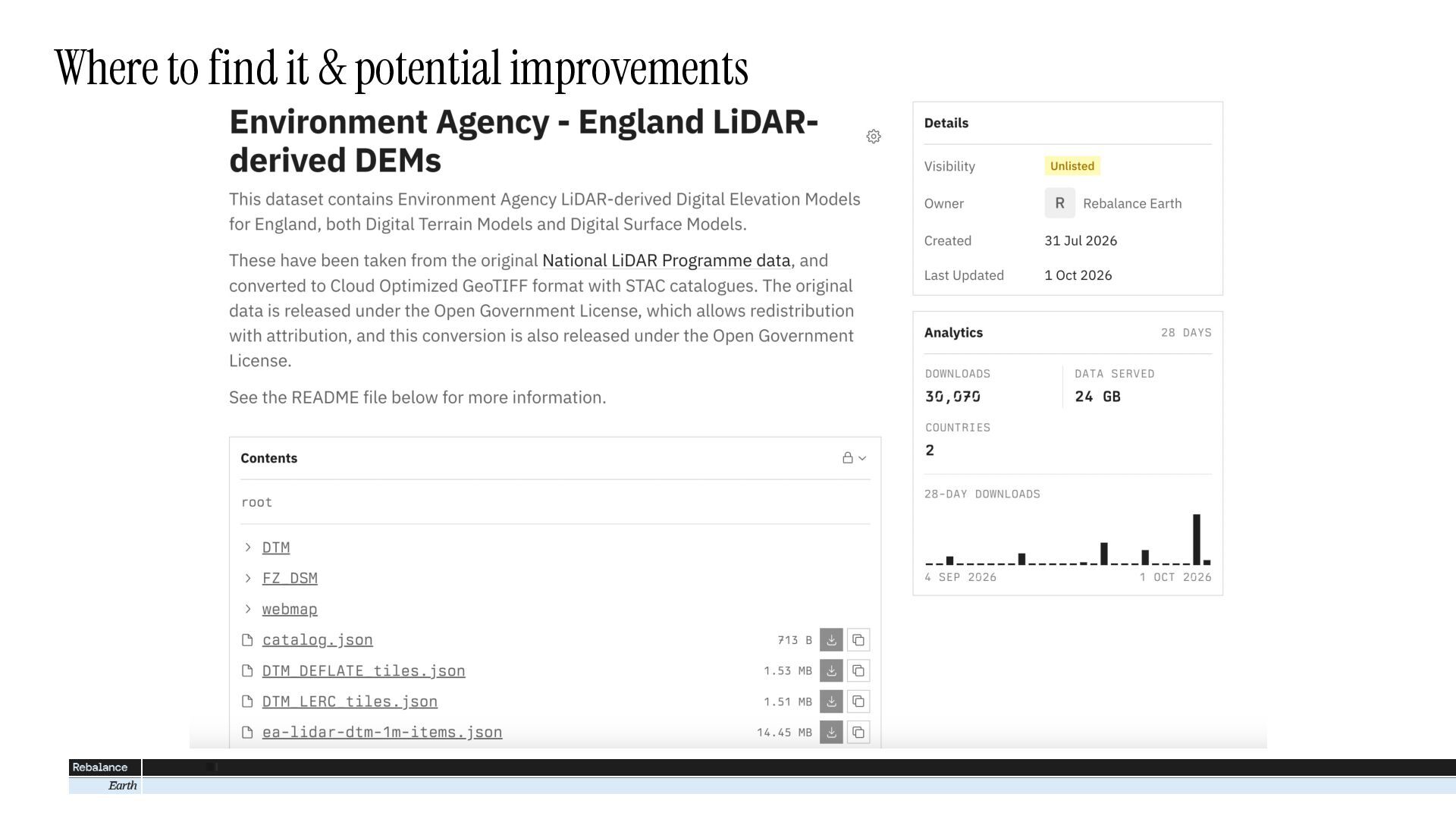
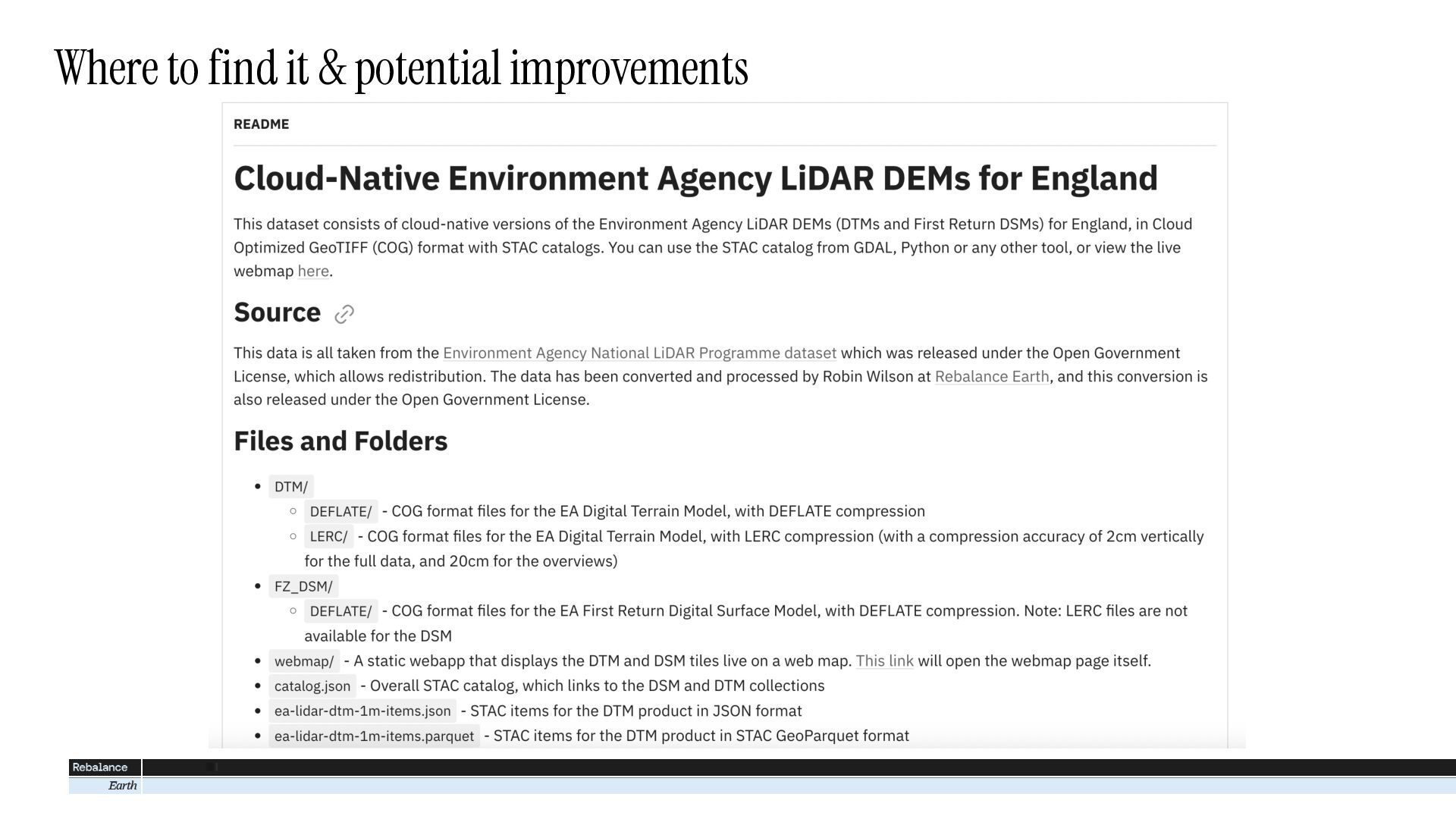
To solve this problem, we have converted the whole dataset to Cloud Optimized GeoTIFF (COG) and produced a STAC catalog linking to all these COG files. As the Open Goverment License allows redistributing the data, we’ve been able to make the new files and STAC catalog available online, free for anyone to use.

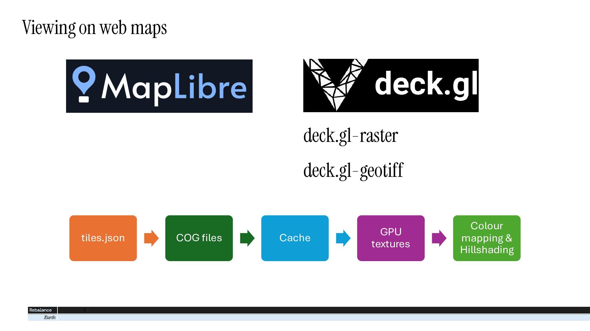
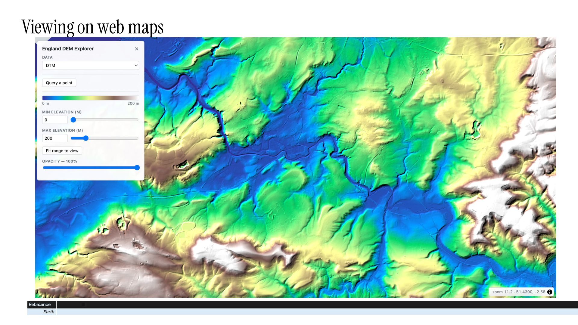
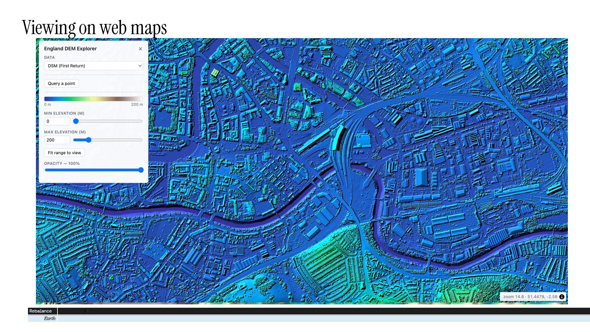
In this talk I’ll explain the benefits of cloud native geospatial data, and how we did the conversion (including some useful tips for creating COG files). I’ll then show some demos of how this data can be used – for example to easily produce mosaics of DEM data across arbitrary areas, to visualise in custom ways on a web map (tools like titiler and titiler-pgstac) and more. I’ll finish by explaining how you can connect to this dataset and access it yourself.

Avatar for Robin Wilson

Robin Wilson

October 27, 2026

More Decks by Robin Wilson

Transcript

  1. Introducing Rebalance Earth Investing in a world worth living in

    Founded in 2023 London-based natural infrastructure manager Economic assets depend upon natural assets. When an entire catchment is restored it delivers resilience in energy, food, housing, transport, and water. Our investment philosophy: long-term capital can be invested in natural infrastructure for a more resilient Britain.
  2. EA LiDAR data is great, but… DTM & DSM 1m

    resolution Open Government License
  3. EA LiDAR data is great, but… DTM & DSM 1m

    resolution Open Government License
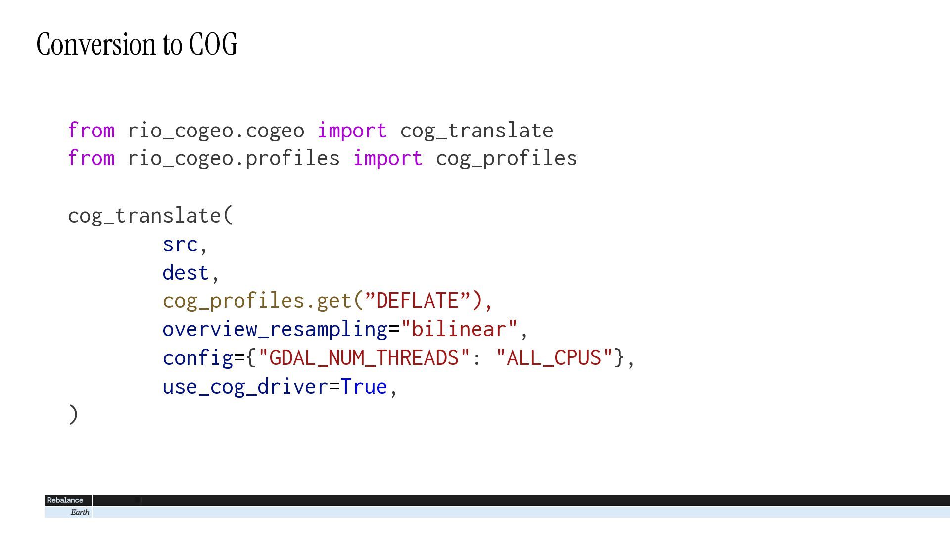
  4. Conversion to COG from rio_cogeo.cogeo import cog_translate from rio_cogeo.profiles import

    cog_profiles cog_translate( src, dest, cog_profiles.get(”DEFLATE”), overview_resampling="bilinear", config={"GDAL_NUM_THREADS": "ALL_CPUS"}, use_cog_driver=True, )
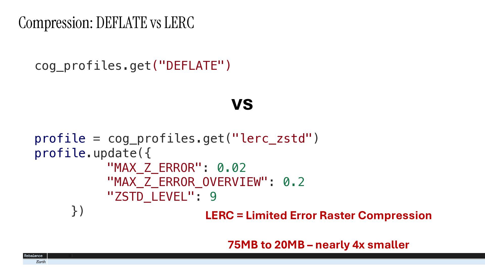
  5. Compression: DEFLATE vs LERC cog_profiles.get("DEFLATE") vs profile = cog_profiles.get("lerc_zstd") profile.update({

    "MAX_Z_ERROR": 0.02 "MAX_Z_ERROR_OVERVIEW": 0.2 "ZSTD_LEVEL": 9 }) LERC = Limited Error Raster Compression 75MB to 20MB – nearly 4x smaller
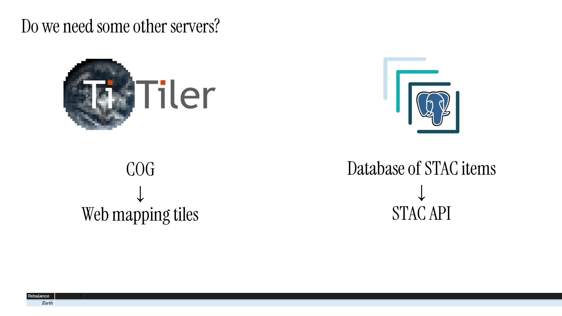
  6. Do we need some other servers? COG ↓ Web mapping

    tiles Database of STAC items ↓ STAC API
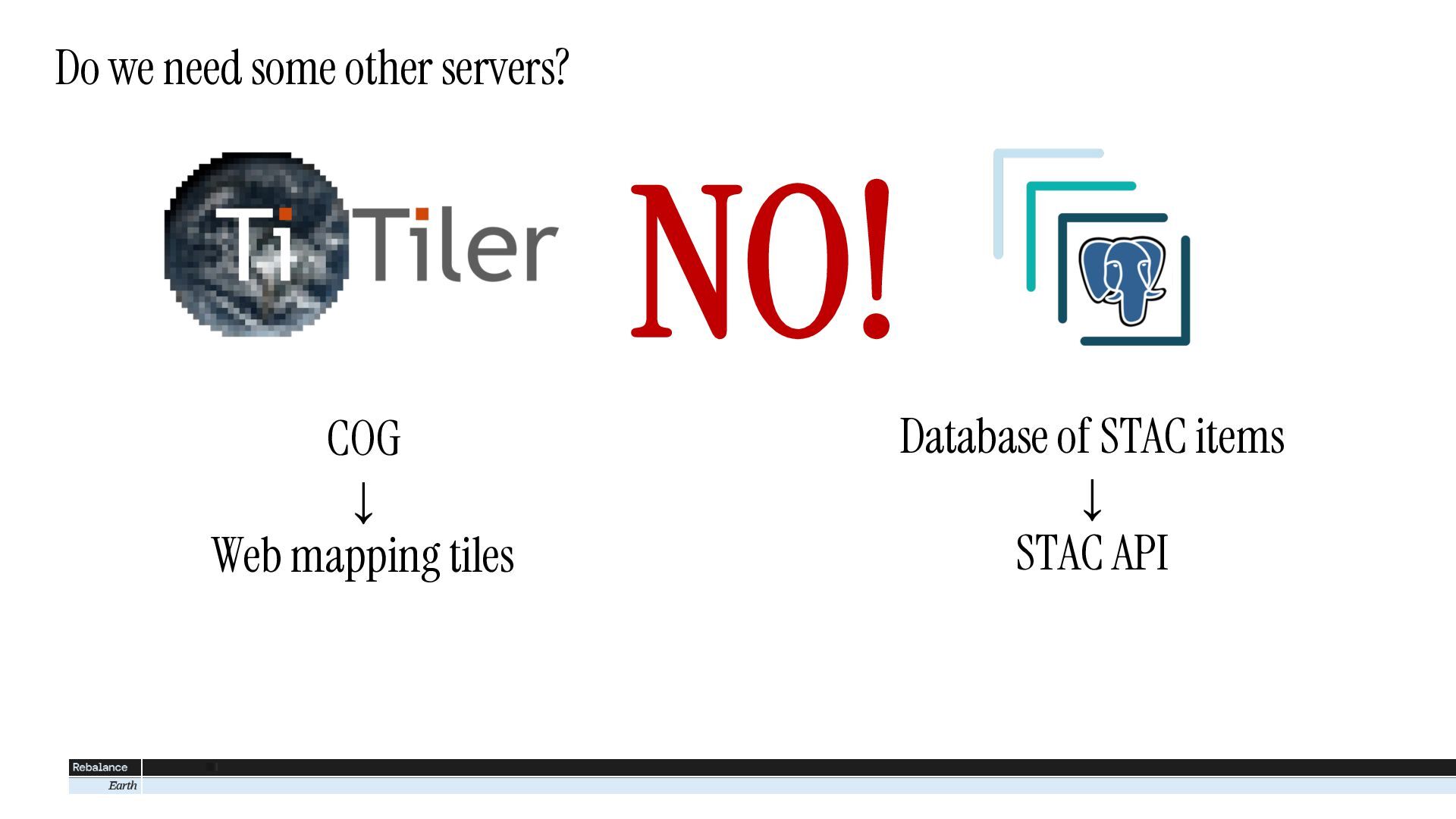
  7. Do we need some other servers? NO! COG ↓ Web

    mapping tiles Database of STAC items ↓ STAC API
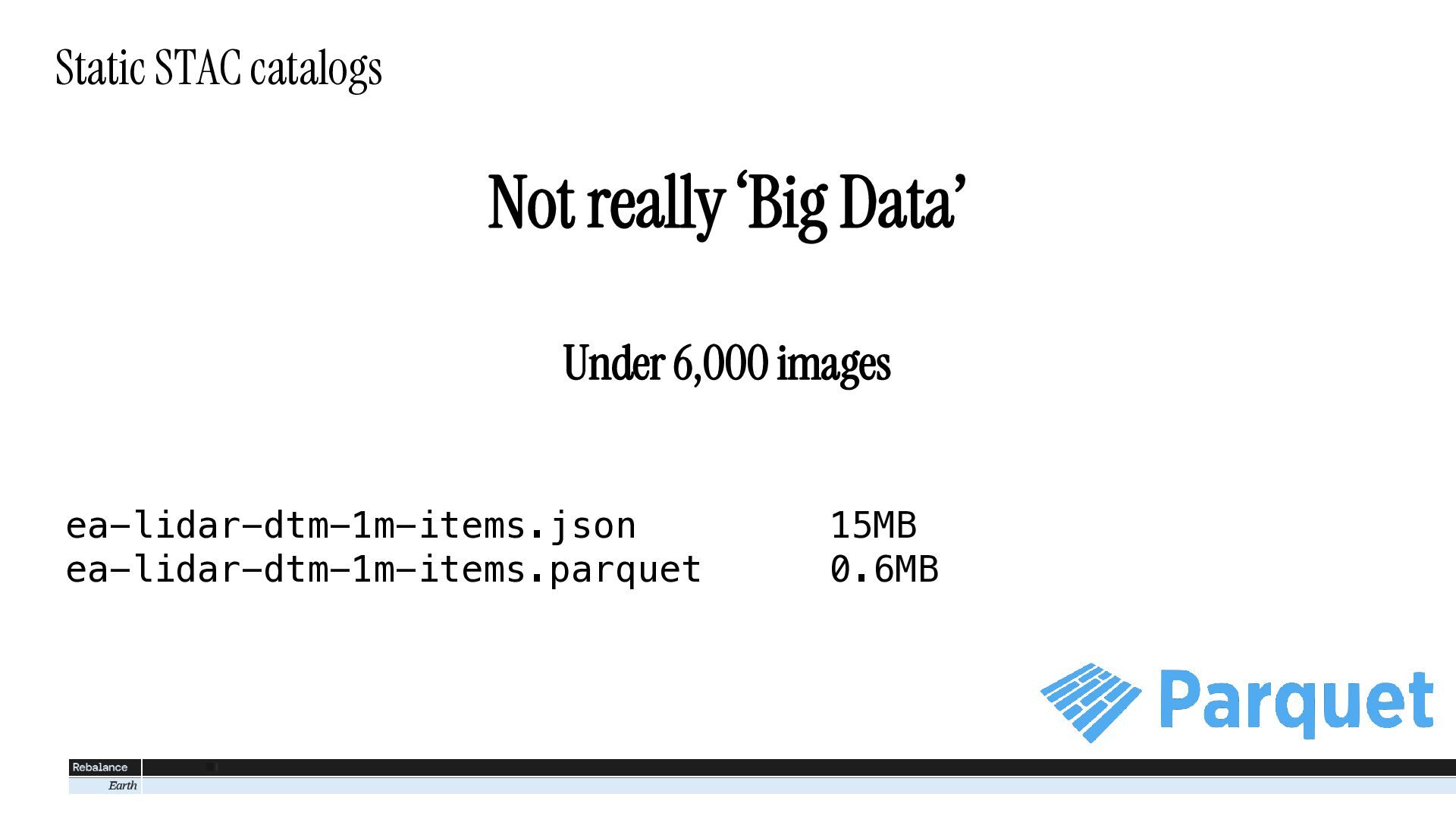
  8. Static STAC catalogs Not really ‘Big Data’ Under 6,000 images

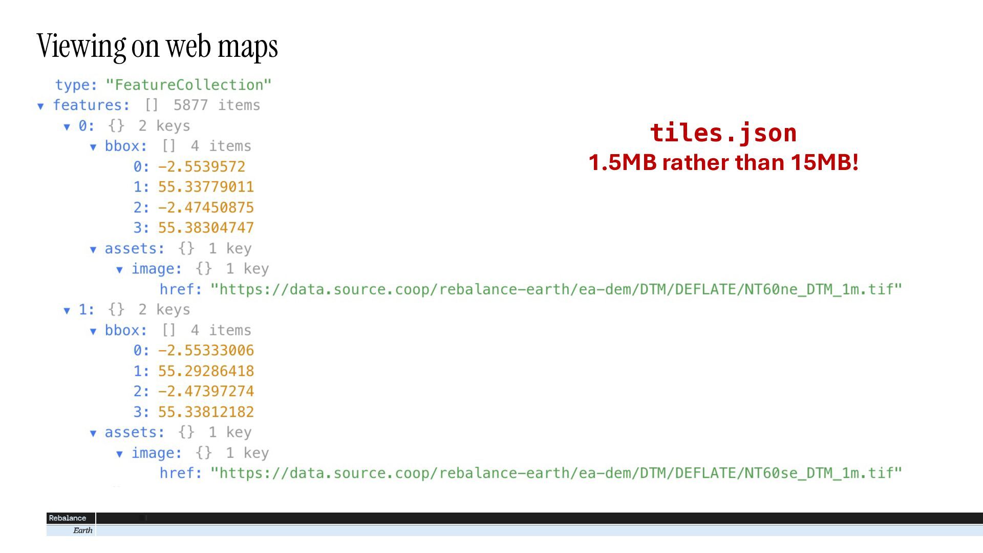
    ea-lidar-dtm-1m-items.json ea-lidar-dtm-1m-items.parquet 15MB 0.6MB
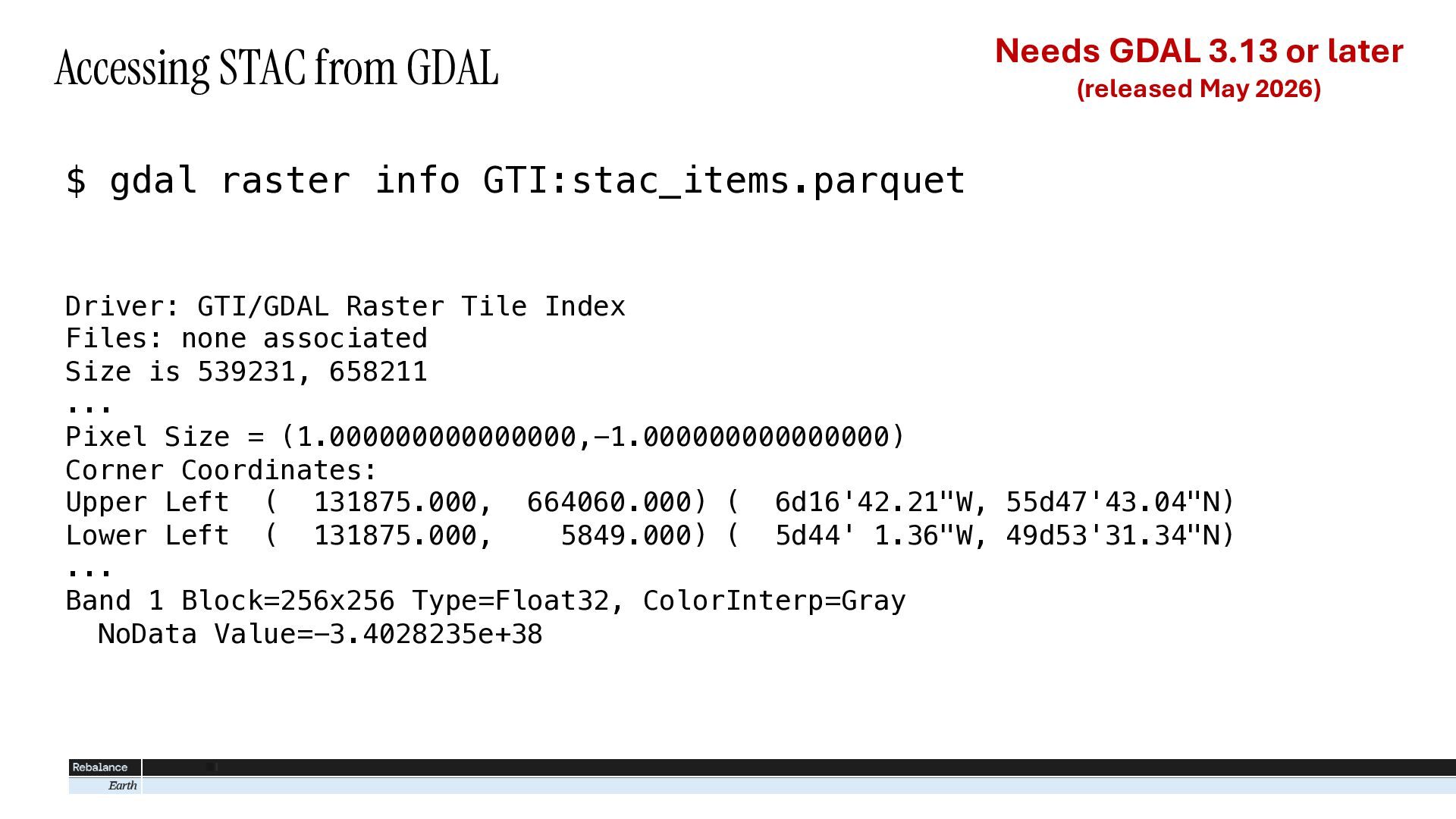
  9. Accessing STAC from GDAL Needs GDAL 3.13 or later (released

    May 2026) $ gdal raster info GTI:stac_items.parquet Driver: GTI/GDAL Raster Tile Index Files: none associated Size is 539231, 658211 ... Pixel Size = (1.000000000000000,-1.000000000000000) Corner Coordinates: Upper Left ( 131875.000, 664060.000) ( 6d16'42.21"W, 55d47'43.04"N) Lower Left ( 131875.000, 5849.000) ( 5d44' 1.36"W, 49d53'31.34"N) ... Band 1 Block=256x256 Type=Float32, ColorInterp=Gray NoData Value=-3.4028235e+38
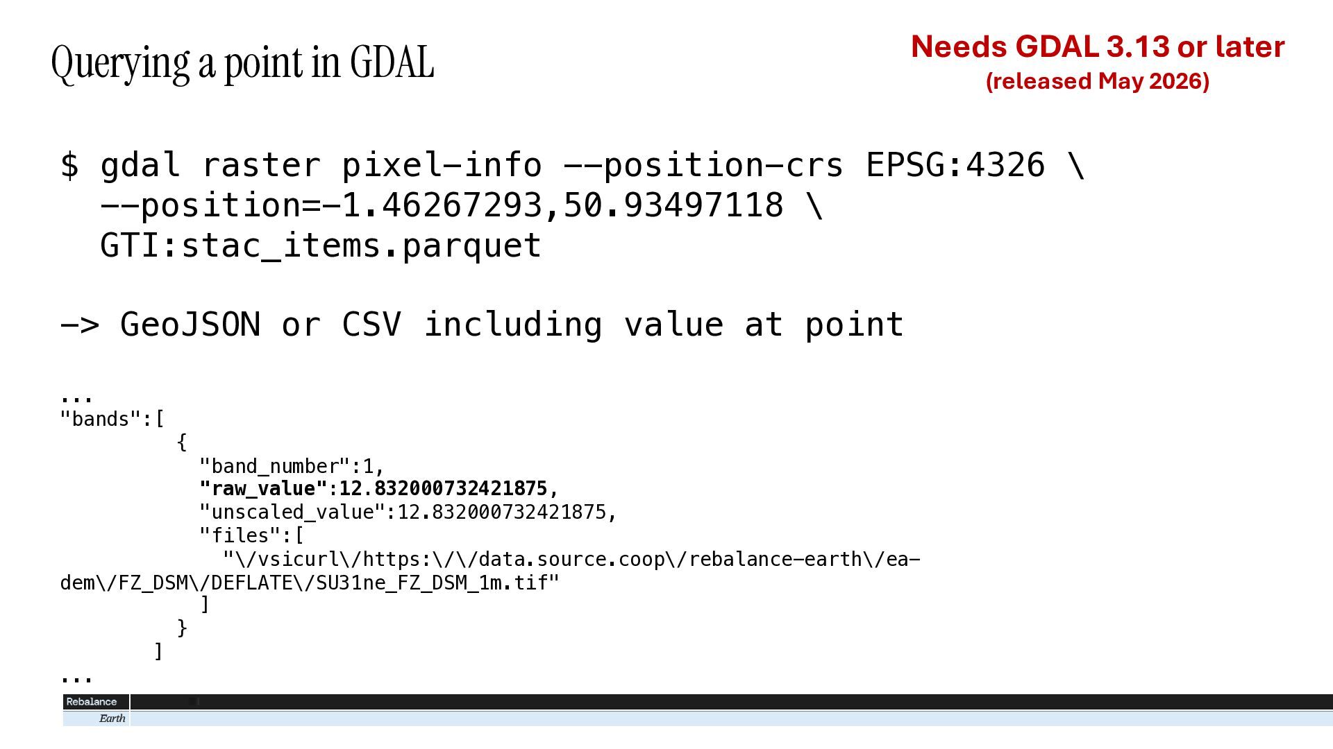
  10. Querying a point in GDAL Needs GDAL 3.13 or later

    (released May 2026) $ gdal raster pixel-info --position-crs EPSG:4326 \ --position=-1.46267293,50.93497118 \ GTI:stac_items.parquet -> GeoJSON or CSV including value at point ... "bands":[ { "band_number":1, "raw_value":12.832000732421875, "unscaled_value":12.832000732421875, "files":[ "\/vsicurl\/https:\/\/data.source.coop\/rebalance-earth\/eadem\/FZ_DSM\/DEFLATE\/SU31ne_FZ_DSM_1m.tif" ] } ] ...
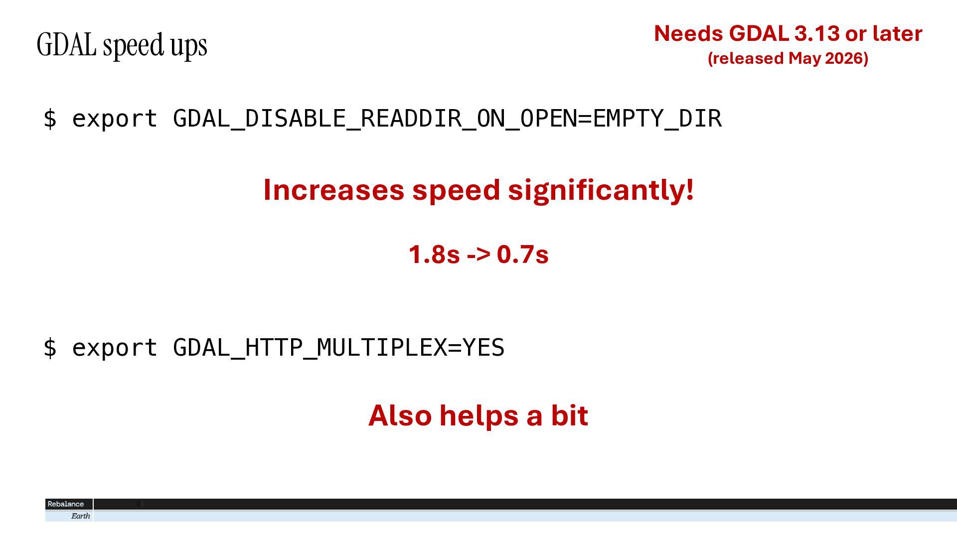
  11. Needs GDAL 3.13 or later GDAL speed ups (released May

    2026) $ export GDAL_DISABLE_READDIR_ON_OPEN=EMPTY_DIR Increases speed significantly! 1.8s -> 0.7s $ export GDAL_HTTP_MULTIPLEX=YES Also helps a bit
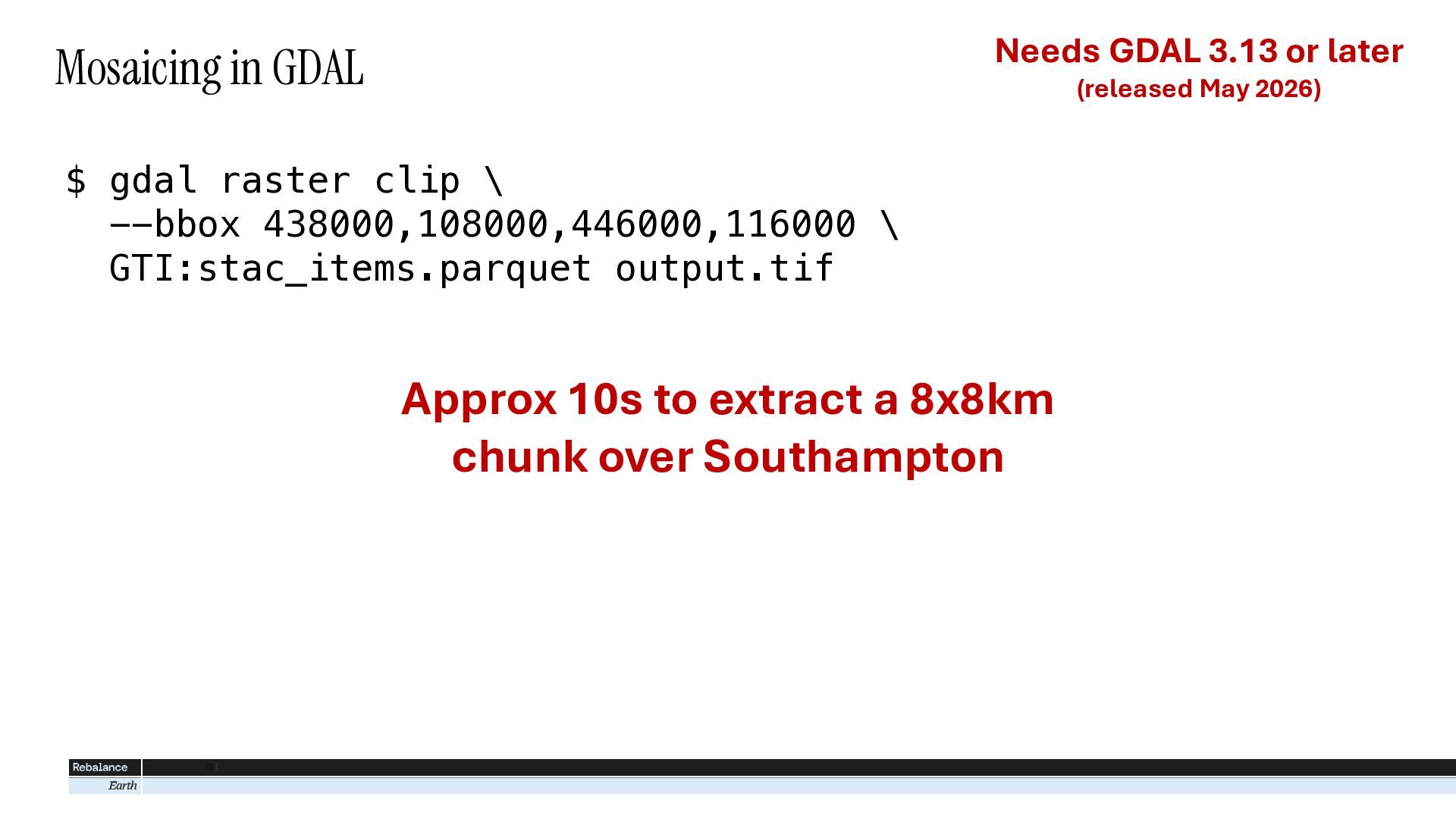
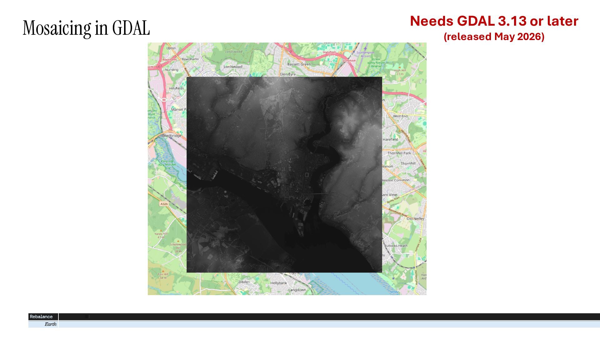
  12. Needs GDAL 3.13 or later Mosaicing in GDAL (released May

    2026) $ gdal raster clip \ --bbox 438000,108000,446000,116000 \ GTI:stac_items.parquet output.tif Approx 10s to extract a 8x8km chunk over Southampton
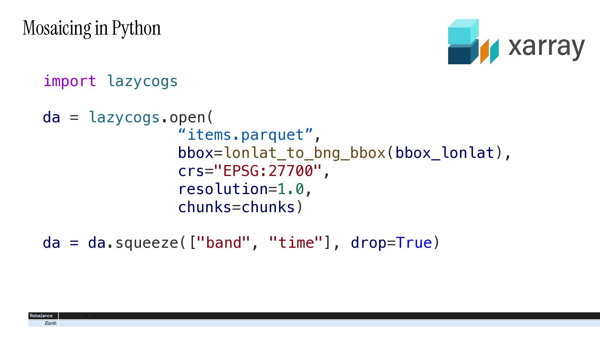
  13. Mosaicing in Python import lazycogs da = lazycogs.open( “items.parquet”, bbox=lonlat_to_bng_bbox(bbox_lonlat),

    crs="EPSG:27700", resolution=1.0, chunks=chunks) da = da.squeeze(["band", "time"], drop=True)
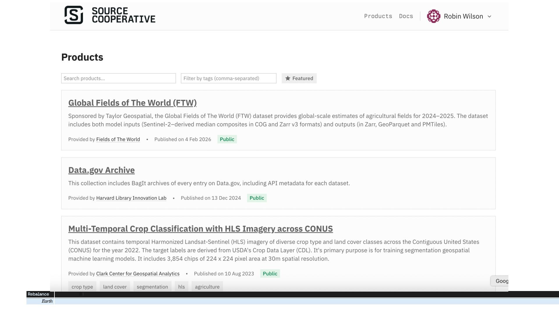
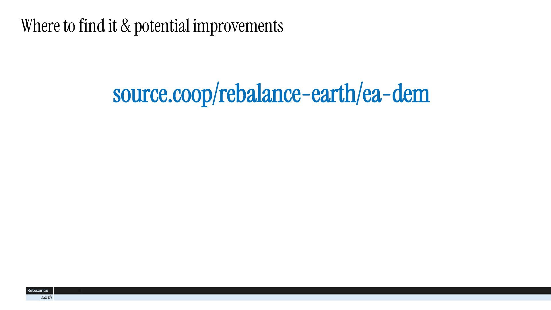
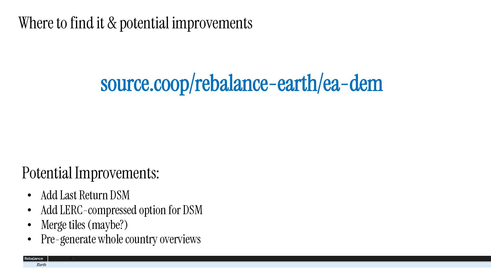
  14. Where to find it & potential improvements source.coop/rebalance-earth/ea-dem Potential Improvements:

    • • • • Add Last Return DSM Add LERC-compressed option for DSM Merge tiles (maybe?) Pre-generate whole country overviews