Upgrade to Pro — share decks privately, control downloads, hide ads and more …

BuildSense - ASEAN GeoAI Fusion 2026

Sponsored · SiteGround - Reliable hosting with speed, security, and support you can count on. →

BuildSense - ASEAN GeoAI Fusion 2026

BuildSense combines geospatial artificial intelligence with interactive 3D web rendering to deliver real-time 5G simulation and spatial analysis. Developed for the ASEAN GeoAI Fusion Hackathon 2026, the project bridges spatial datasets and telecommunications modeling to empower smarter urban infrastructure planning.

check here:https://youtu.be/jh9Z5OUwv18?si=Yp4YqoFwnYMNRgb4

Avatar for Hsu Hlaing Thin

Hsu Hlaing Thin

September 30, 2026

More Decks by Hsu Hlaing Thin

Other Decks in Technology

Transcript

  1. GEOAI HACKATHON 2026 BuildSense AI-Powered 5G Site Optimizer for Southern

    Shan State, Myanmar "Bringing 5G to Myanmar’s Mountains with Artificial Intelligence" ASEAN GeoAI Fusion 2026 | Triad 1
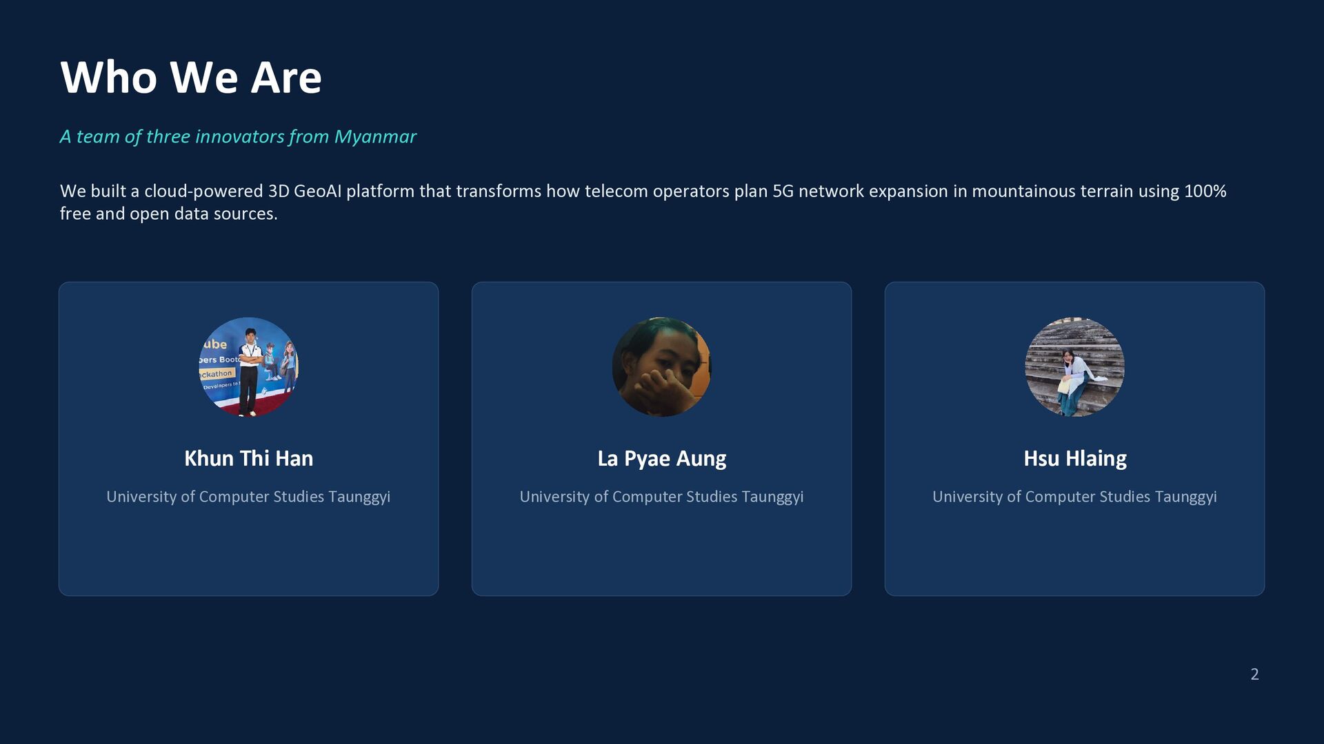
  2. Who We Are A team of three innovators from Myanmar

    We built a cloud-powered 3D GeoAI platform that transforms how telecom operators plan 5G network expansion in mountainous terrain using 100% free and open data sources. Khun Thi Han La Pyae Aung Hsu Hlaing University of Computer Studies Taunggyi University of Computer Studies Taunggyi University of Computer Studies Taunggyi 2
  3. What We'll A team of three innovators from Myanmar Cover

    1.Problem Statement 2.Objective 3.Solution Methodology 4.Expected Results & Outputs 5.Benefit 6.Limitation 7.Scalability & Sustainability 8.Conclusion 3
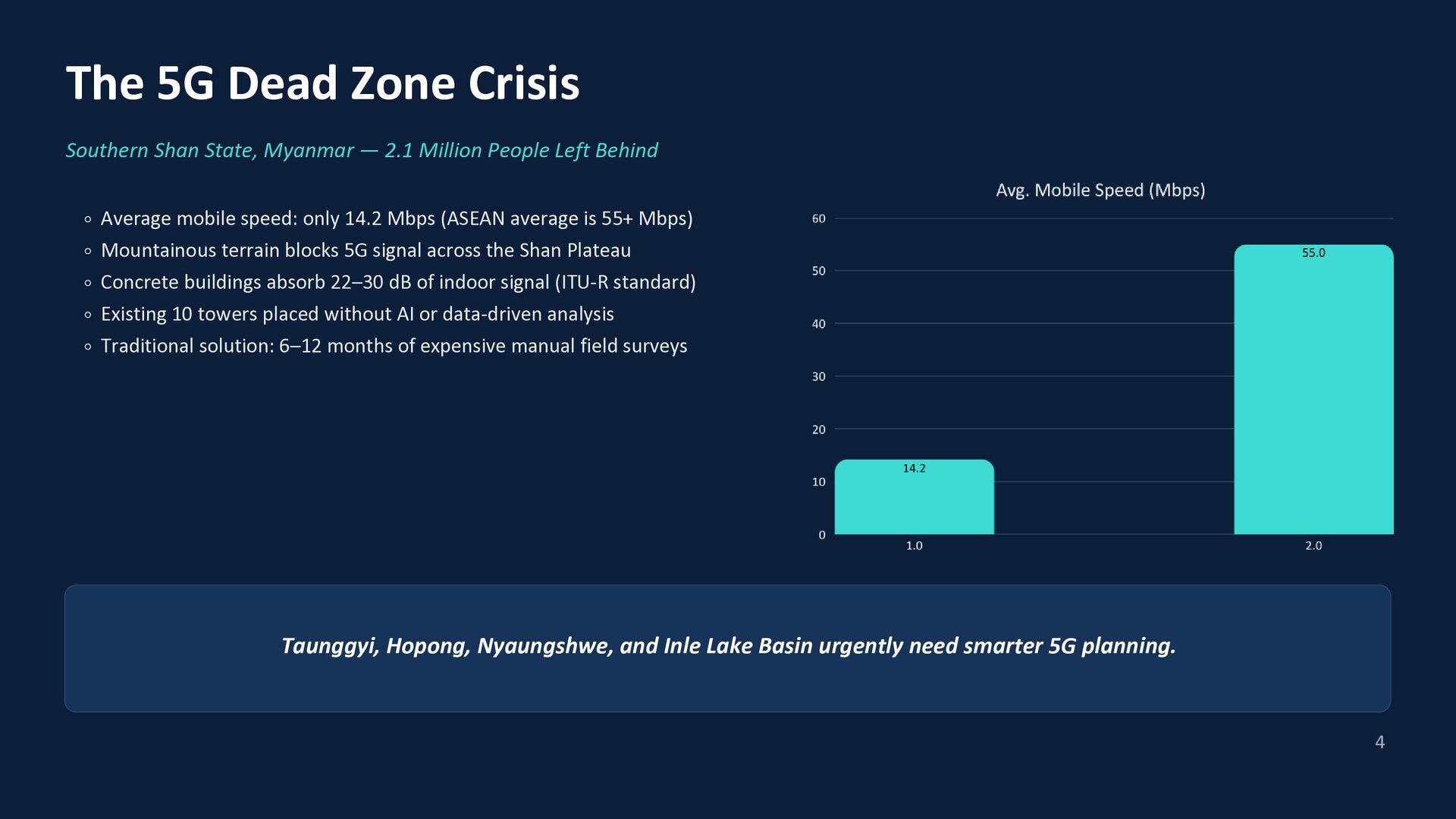
  4. The 5G Dead Zone Crisis Southern Shan State, Myanmar —

    2.1 Million People Left Behind Average mobile speed: only 14.2 Mbps (ASEAN average is 55+ Mbps) Mountainous terrain blocks 5G signal across the Shan Plateau Concrete buildings absorb 22–30 dB of indoor signal (ITU-R standard) Existing 10 towers placed without AI or data-driven analysis Traditional solution: 6–12 months of expensive manual field surveys Taunggyi, Hopong, Nyaungshwe, and Inle Lake Basin urgently need smarter 5G planning. 4
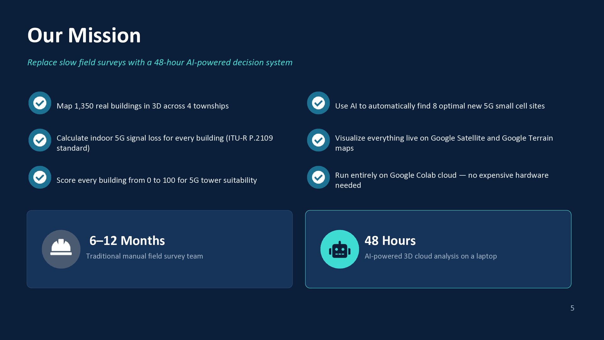
  5. Our Mission Replace slow field surveys with a 48-hour AI-powered

    decision system Map 1,350 real buildings in 3D across 4 townships Use AI to automatically find 8 optimal new 5G small cell sites Calculate indoor 5G signal loss for every building (ITU-R P.2109 standard) Visualize everything live on Google Satellite and Google Terrain maps Score every building from 0 to 100 for 5G tower suitability Run entirely on Google Colab cloud — no expensive hardware needed 6–12 Months 48 Hours Traditional manual field survey team AI-powered 3D cloud analysis on a laptop 5
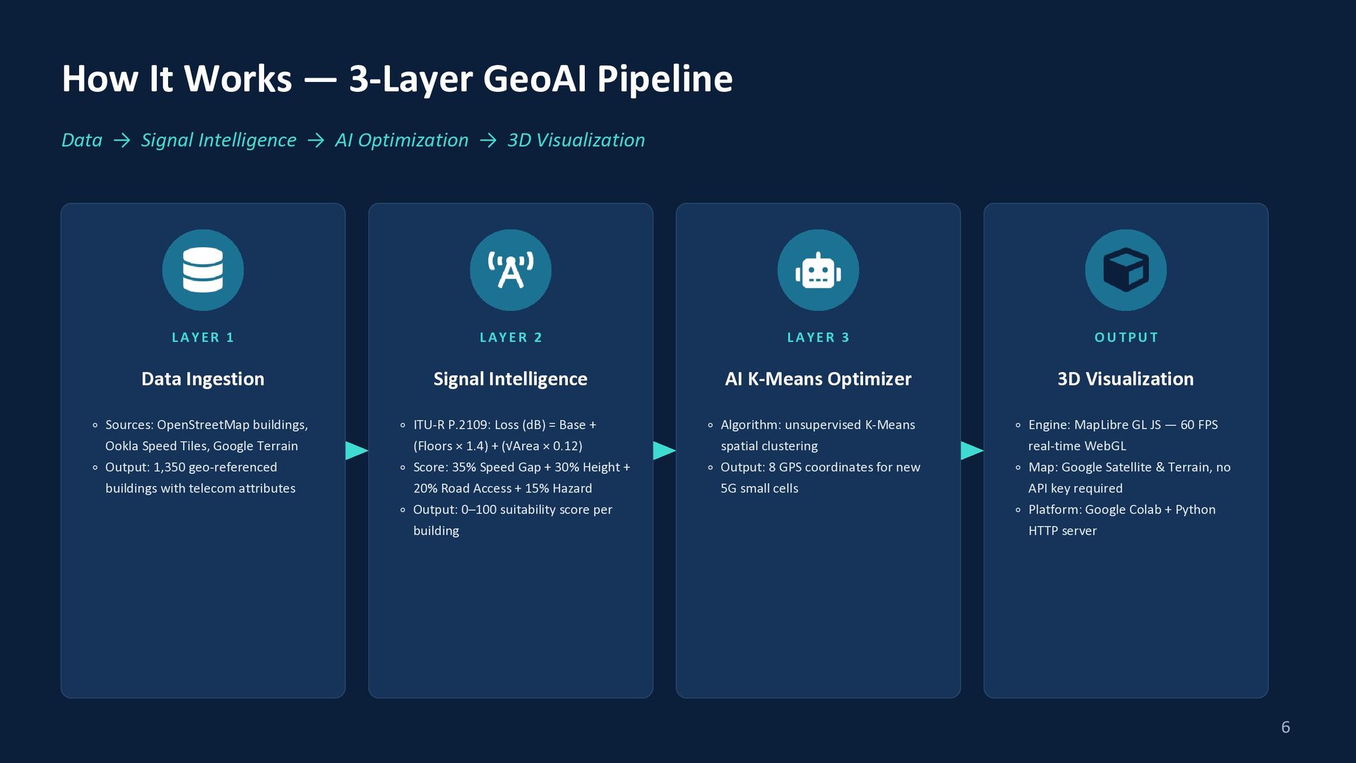
  6. How It Works — 3-Layer GeoAI Pipeline Data → Signal

    Intelligence → AI Optimization → 3D Visualization LAYER 1 LAYER 2 LAYER 3 OUTPUT Data Ingestion Signal Intelligence AI K-Means Optimizer 3D Visualization Algorithm: unsupervised K-Means spatial clustering Output: 8 GPS coordinates for new 5G small cells Engine: MapLibre GL JS — 60 FPS real-time WebGL Map: Google Satellite & Terrain, no API key required Platform: Google Colab + Python HTTP server Sources: OpenStreetMap buildings, Ookla Speed Tiles, Google Terrain Output: 1,350 geo-referenced buildings with telecom attributes ITU-R P.2109: Loss (dB) = Base + (Floors × 1.4) + (√Area × 0.12) Score: 35% Speed Gap + 30% Height + 20% Road Access + 15% Hazard Output: 0–100 suitability score per building 6
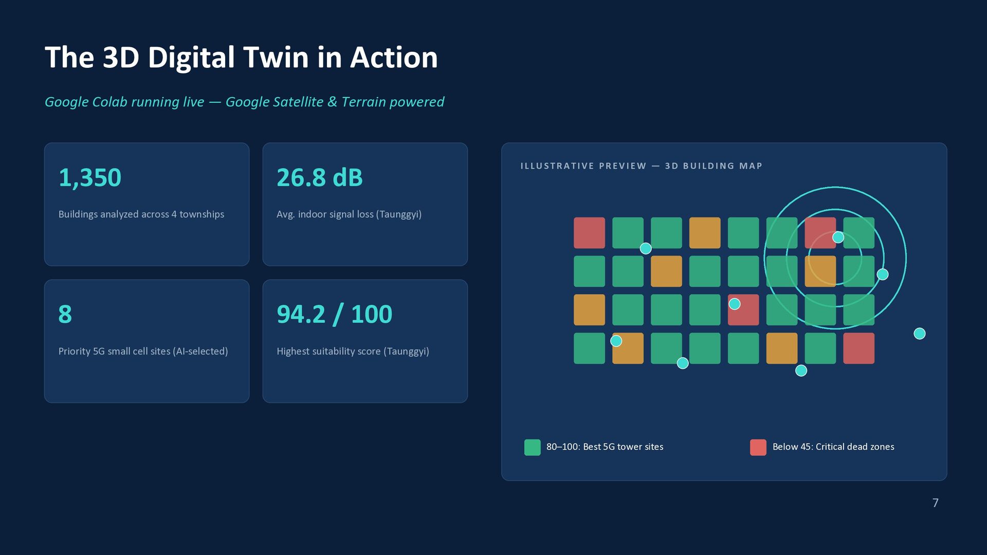
  7. The 3D Digital Twin in Action Google Colab running live

    — Google Satellite & Terrain powered 1,350 26.8 dB Buildings analyzed across 4 townships Avg. indoor signal loss (Taunggyi) 8 94.2 / 100 Priority 5G small cell sites (AI-selected) Highest suitability score (Taunggyi) ILLUSTRATIVE PREVIEW — 3D BUILDING MAP 80–100: Best 5G tower sites Below 45: Critical dead zones 7
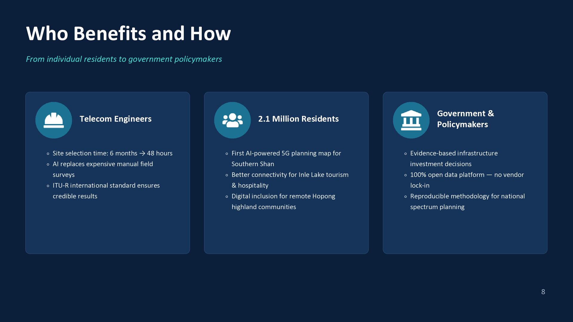
  8. Who Benefits and How From individual residents to government policymakers

    Telecom Engineers Site selection time: 6 months → 48 hours AI replaces expensive manual field surveys ITU-R international standard ensures credible results 2.1 Million Residents First AI-powered 5G planning map for Southern Shan Better connectivity for Inle Lake tourism & hospitality Digital inclusion for remote Hopong highland communities Government & Policymakers Evidence-based infrastructure investment decisions 100% open data platform — no vendor lock-in Reproducible methodology for national spectrum planning 8
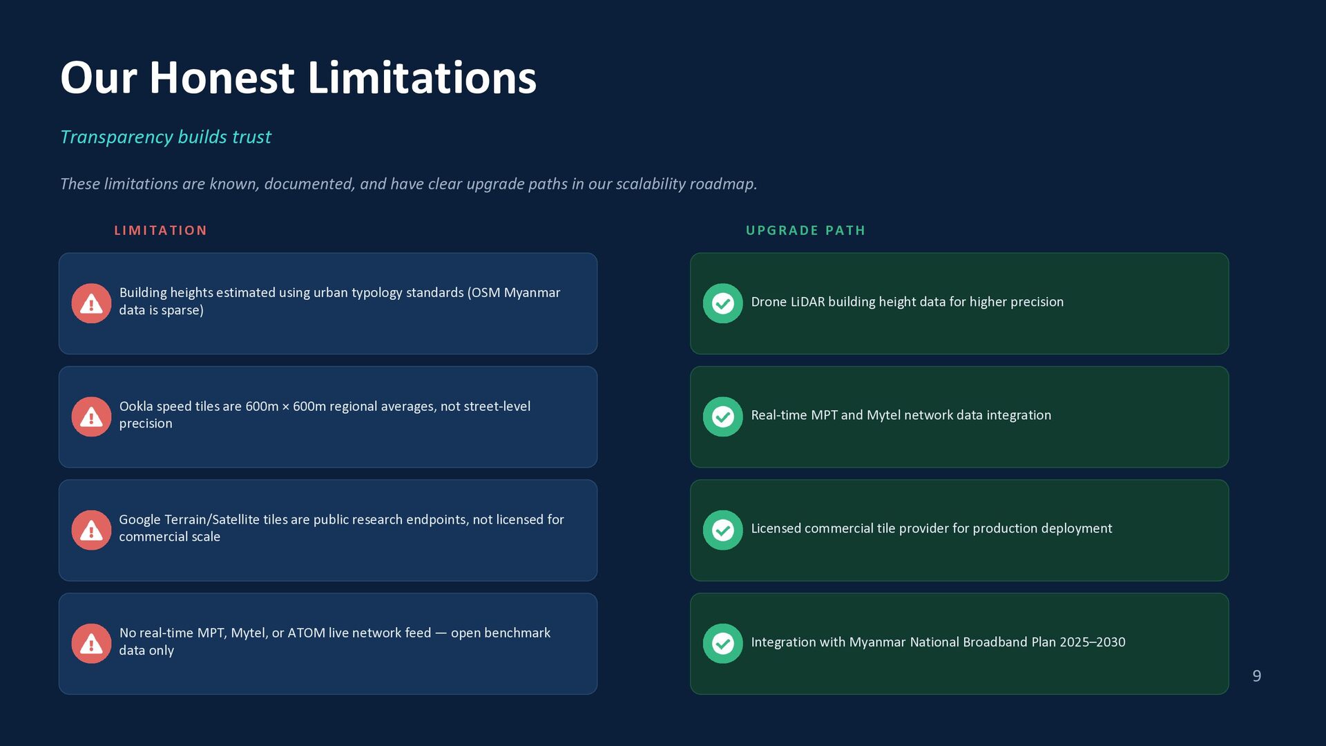
  9. Our Honest Limitations Transparency builds trust These limitations are known,

    documented, and have clear upgrade paths in our scalability roadmap. LIMITATION UPGRADE PATH Building heights estimated using urban typology standards (OSM Myanmar data is sparse) Drone LiDAR building height data for higher precision Ookla speed tiles are 600m × 600m regional averages, not street-level precision Real-time MPT and Mytel network data integration Google Terrain/Satellite tiles are public research endpoints, not licensed for commercial scale Licensed commercial tile provider for production deployment No real-time MPT, Mytel, or ATOM live network feed — open benchmark data only Integration with Myanmar National Broadband Plan 2025–2030 9
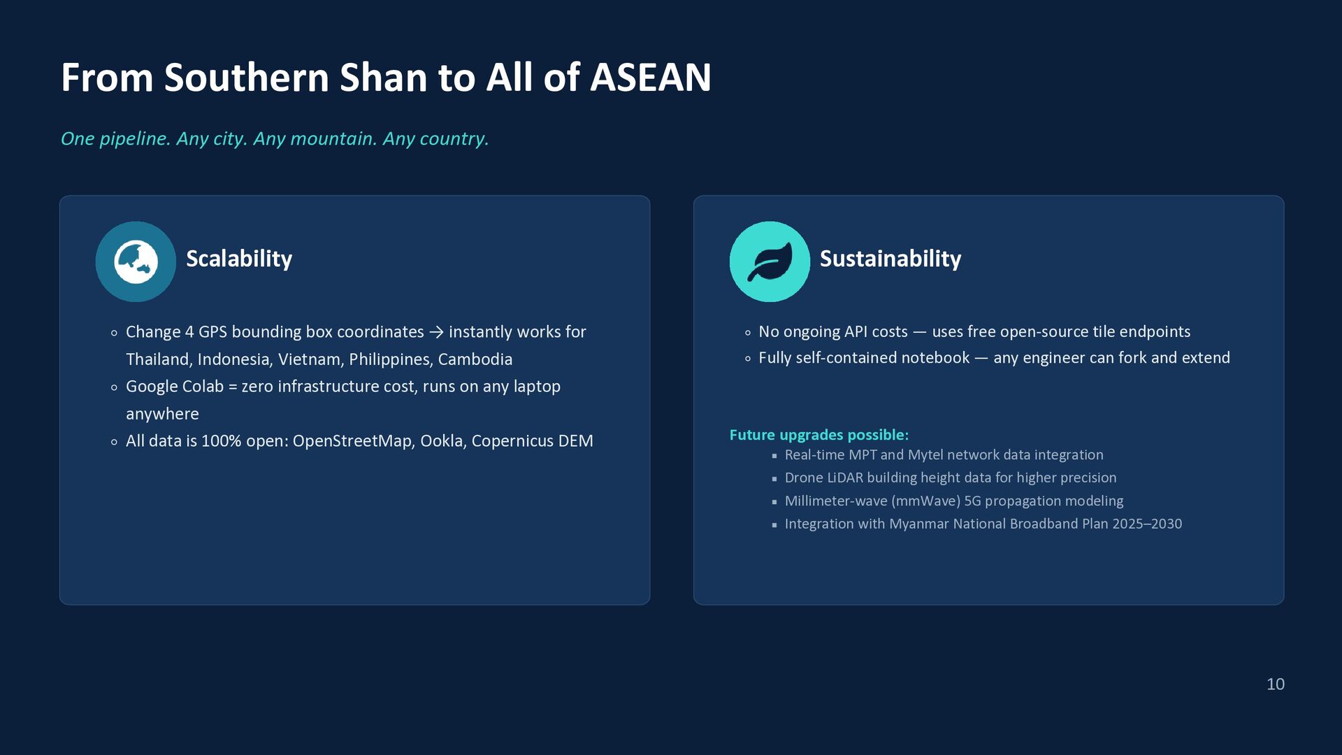
  10. From Southern Shan to All of ASEAN One pipeline. Any

    city. Any mountain. Any country. Scalability Change 4 GPS bounding box coordinates → instantly works for Thailand, Indonesia, Vietnam, Philippines, Cambodia Sustainability No ongoing API costs — uses free open-source tile endpoints Fully self-contained notebook — any engineer can fork and extend Google Colab = zero infrastructure cost, runs on any laptop anywhere All data is 100% open: OpenStreetMap, Ookla, Copernicus DEM Future upgrades possible: Real-time MPT and Mytel network data integration Drone LiDAR building height data for higher precision Millimeter-wave (mmWave) 5G propagation modeling Integration with Myanmar National Broadband Plan 2025–2030 10
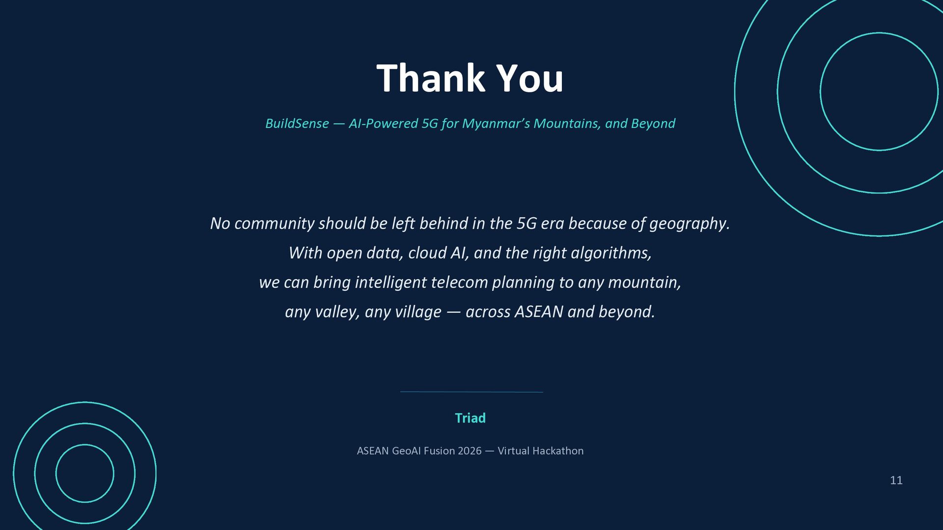
  11. Thank You BuildSense — AI-Powered 5G for Myanmar’s Mountains, and

    Beyond No community should be left behind in the 5G era because of geography. With open data, cloud AI, and the right algorithms, we can bring intelligent telecom planning to any mountain, any valley, any village — across ASEAN and beyond. Triad ASEAN GeoAI Fusion 2026 — Virtual Hackathon 11