by other community projects Aware of available tools Objectives Widen scope of map editing to include new/ ignored attributes Engage others in your locality to contribute street-level imagery New-timers Old-timers
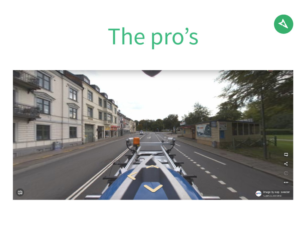
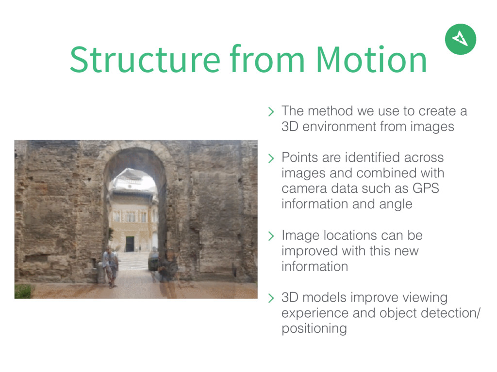
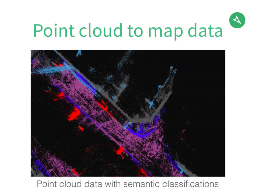
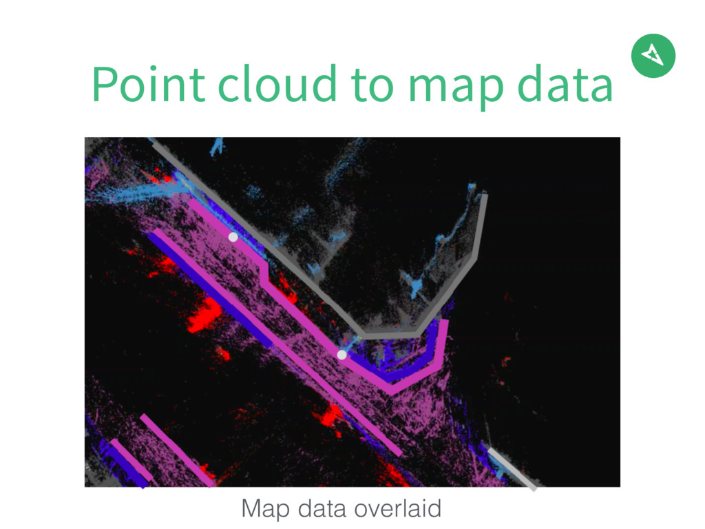
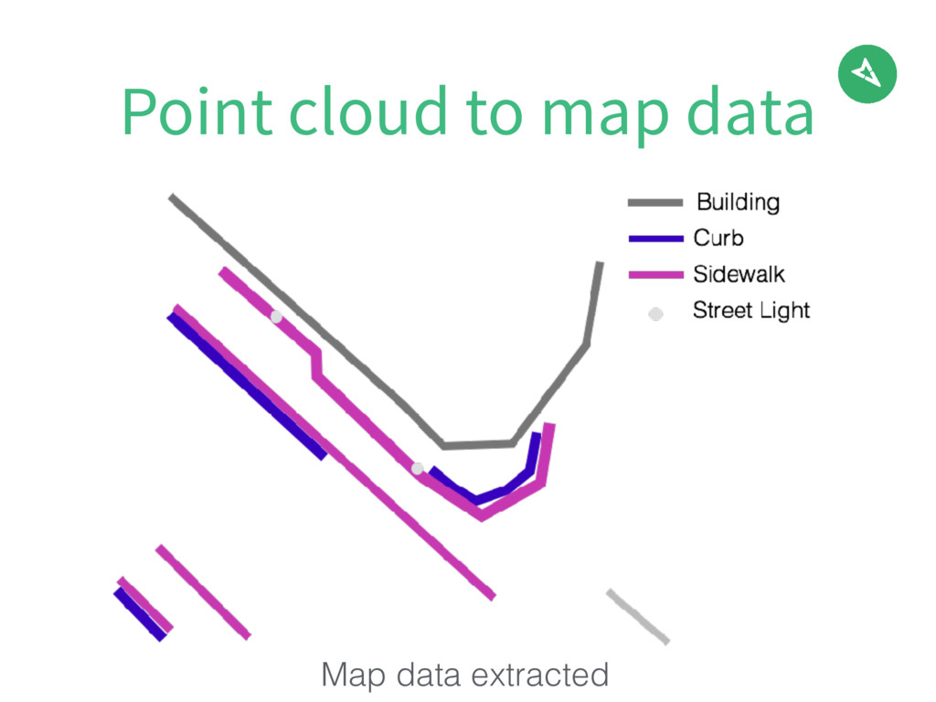
images Points are identified across images and combined with camera data such as GPS information and angle Image locations can be improved with this new information 3D models improve viewing experience and object detection/ positioning Structure from Motion
the editor of your choice. iD editor is recommended because it supports 360 degree imagery, something JOSM is not currently capable of. If you prefer JOSM, you may wish to open a Mapillary windows separately. Step 1
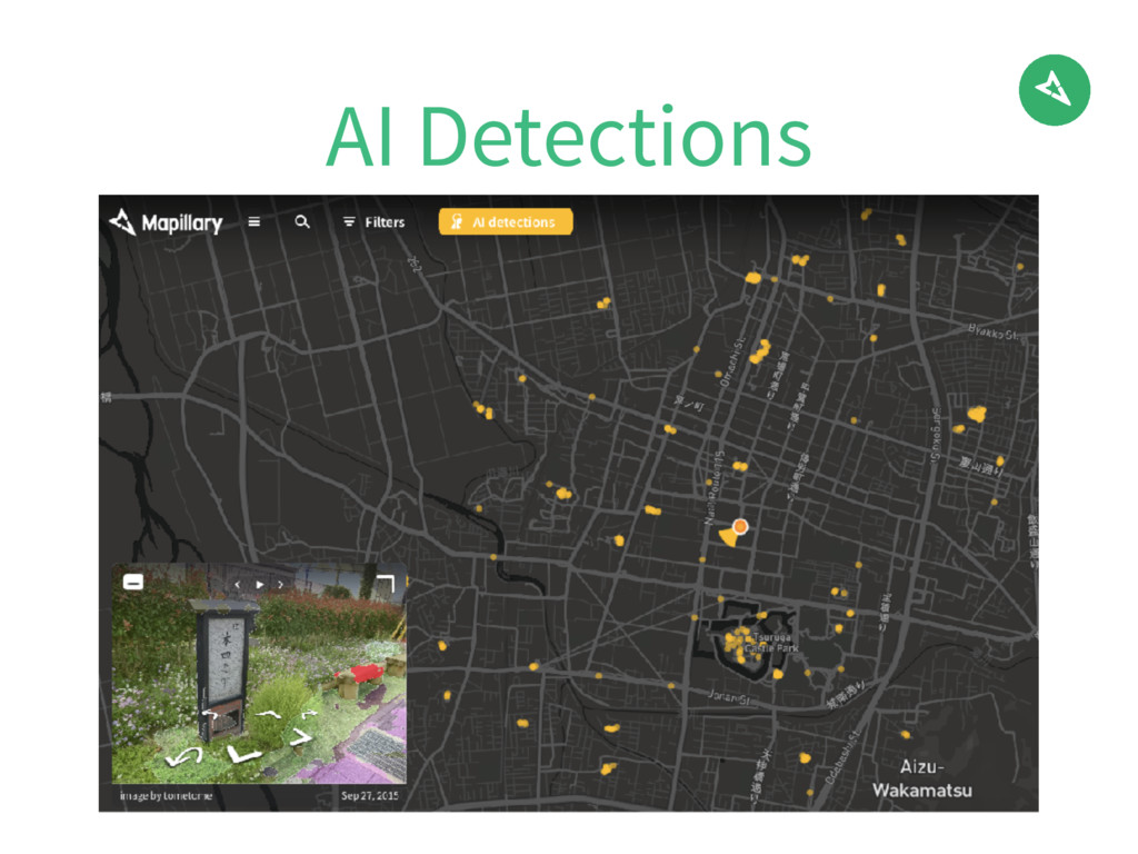
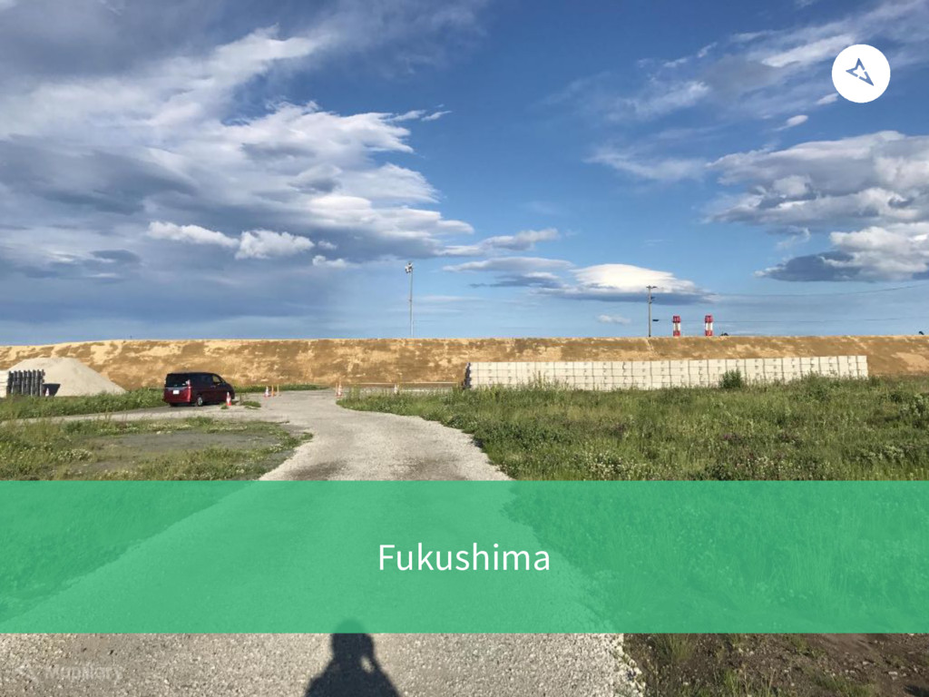
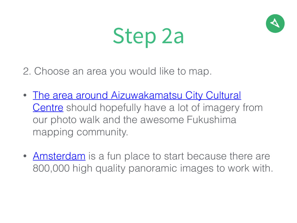
The area around Aizuwakamatsu City Cultural Centre should hopefully have a lot of imagery from our photo walk and the awesome Fukushima mapping community. • Amsterdam is a fun place to start because there are 800,000 high quality panoramic images to work with. Step 2a
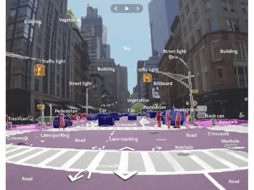
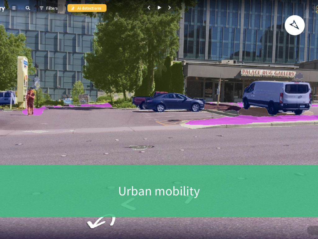
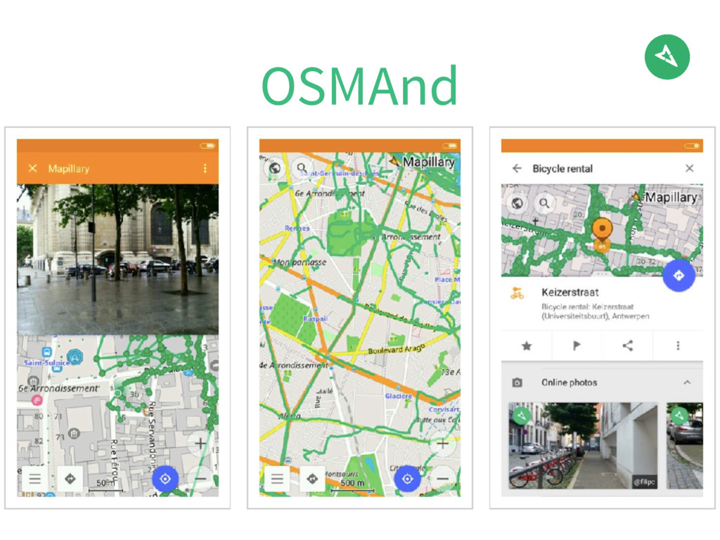
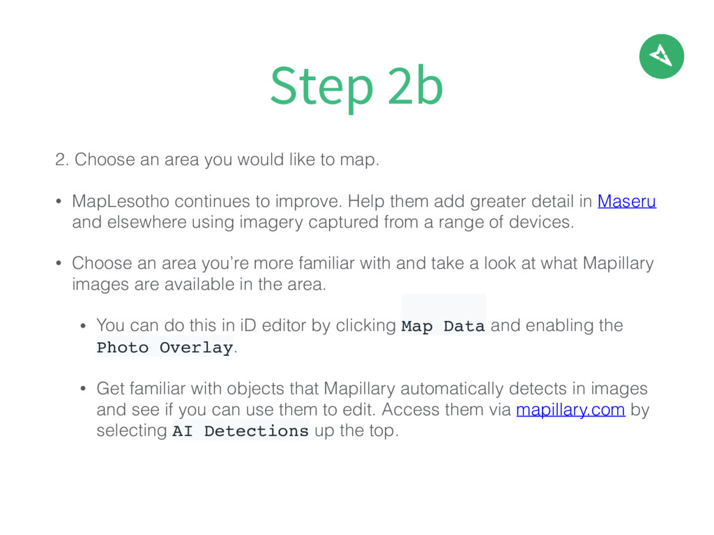
MapLesotho continues to improve. Help them add greater detail in Maseru and elsewhere using imagery captured from a range of devices. • Choose an area you’re more familiar with and take a look at what Mapillary images are available in the area. • You can do this in iD editor by clicking Map Data and enabling the Photo Overlay. • Get familiar with objects that Mapillary automatically detects in images and see if you can use them to edit. Access them via mapillary.com by selecting AI Detections up the top. Step 2b
• Try editing some features you wouldn’t usually. • Use street-level imagery or detections as your primary data sources. • If you're uncertain about any terms, the OSM wiki is a great resource, as are the mappers sitting next to you. Step 3
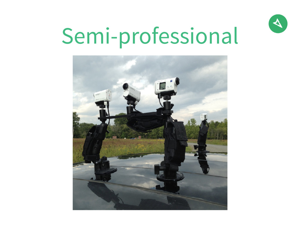
Different devices being used to contribute Technology allowing us to derive more map data Community stories & local inspiration Additional ways you can edit with street-level imagery What have we covered?
![Map with us! [email protected] [email protected] @mapillary @mapillary](https://files.speakerdeck.com/presentations/c74e017fe48548c093c0d159df98e63e/slide_51.jpg)