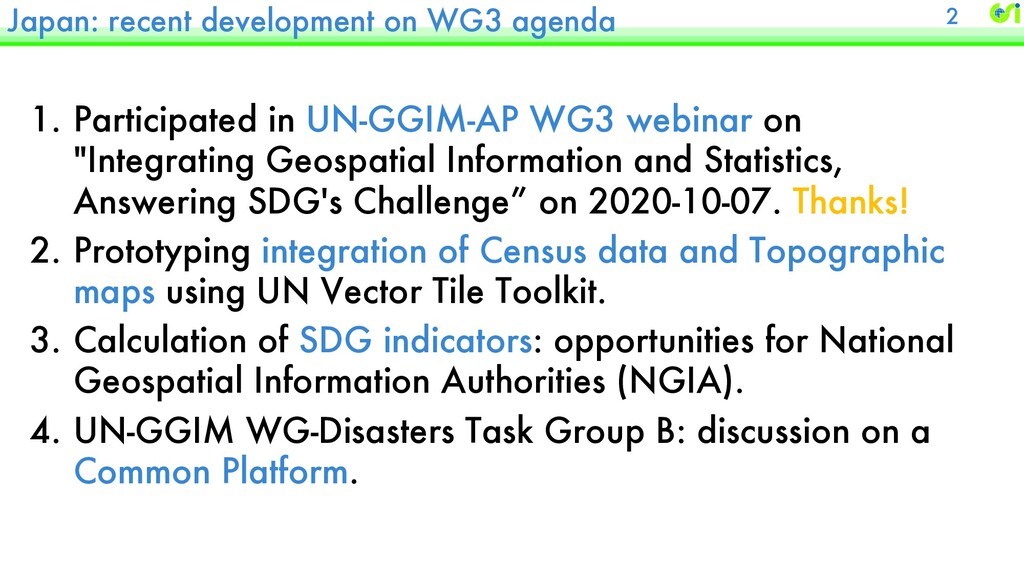
WG3 webinar on "Integrating Geospatial Information and Statistics, Answering SDG's Challenge” on 2020-10-07. Thanks! 2. Prototyping integration of Census data and Topographic maps using UN Vector Tile Toolkit. 3. Calculation of SDG indicators: opportunities for National Geospatial Information Authorities (NGIA). 4. UN-GGIM WG-Disasters Task Group B: discussion on a Common Platform. 2
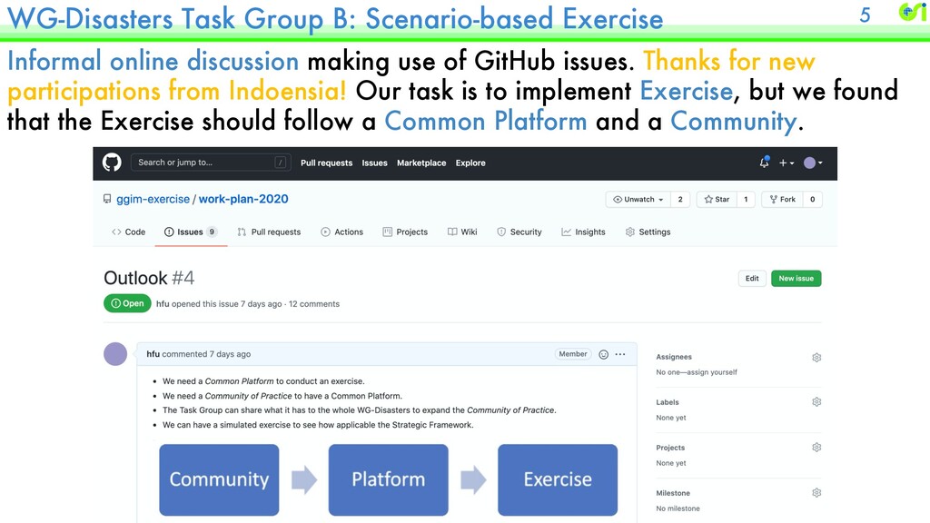
use of GitHub issues. Thanks for new participations from Indoensia! Our task is to implement Exercise, but we found that the Exercise should follow a Common Platform and a Community. 5
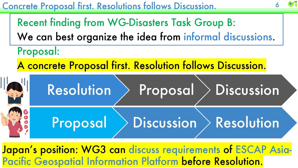
Task Group B: We can best organize the idea from informal discussions. Proposal: A concrete Proposal first. Resolution follows Discussion. Resolution Proposal Discussion Proposal Discussion Resolution 6 Japan’s position: WG3 can discuss requirements of ESCAP Asia- Pacific Geospatial Information Platform before Resolution.


 hfu
hfu
 makocchi
 oikon48
 tsuchikazu
 recruitengineers
 munakata
 grimoh
 shumei_ito
 kameitomohiro
 nealle
 glaforge
 ufried
 harutiro
 jdejongh
 varn
varn
.png) helenjbeal
helenjbeal
 minecr
 csswizardry
 takai
takai
 cassininazir
 jonoalderson
 jonyablonski
 lindahogenes
 ryanjones
 aleyda