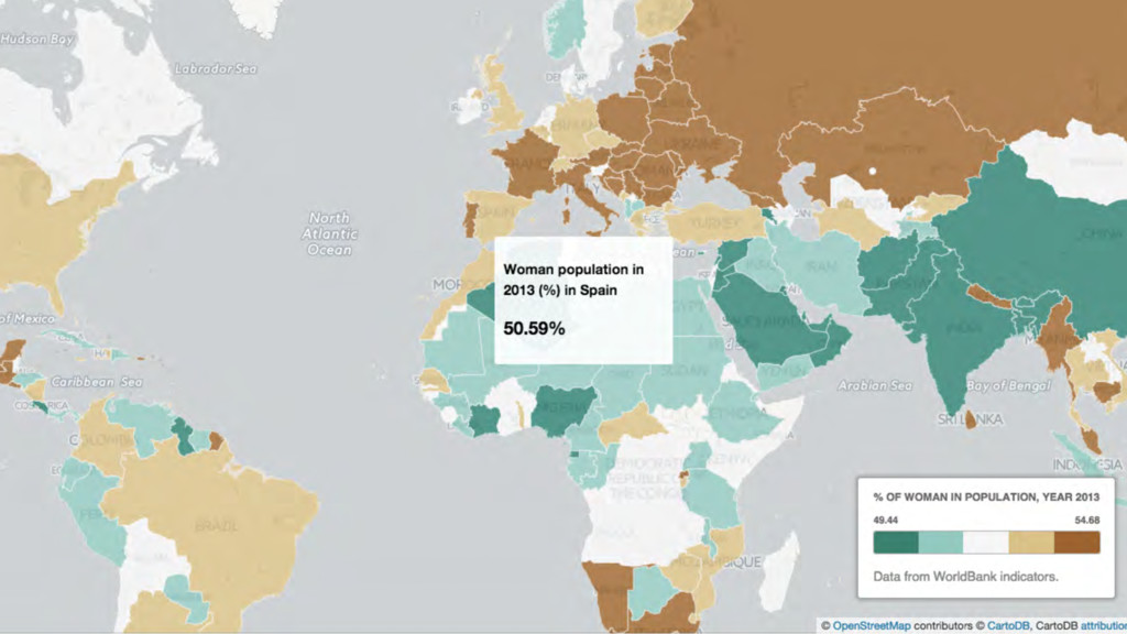
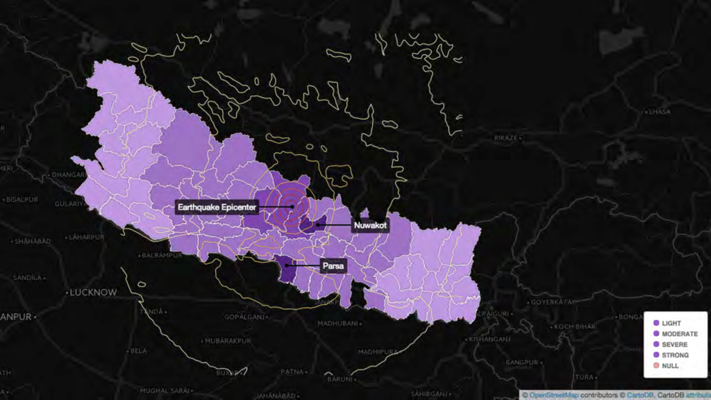
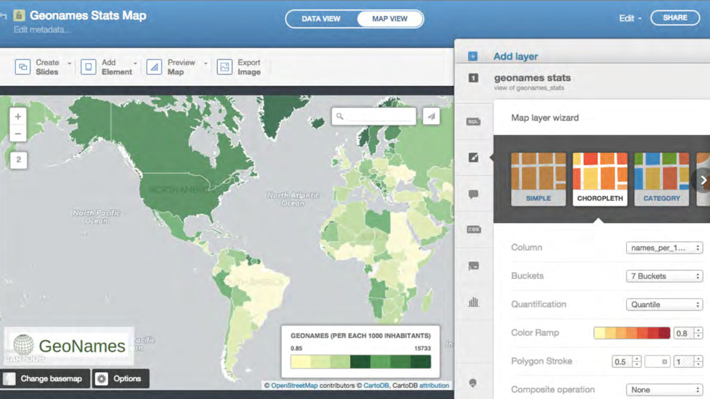
My slides for a talk at the ESA-ESAC Planetary GIS Workshop in 2015. This was an introduction to CartoDB and it is mostly images, though!
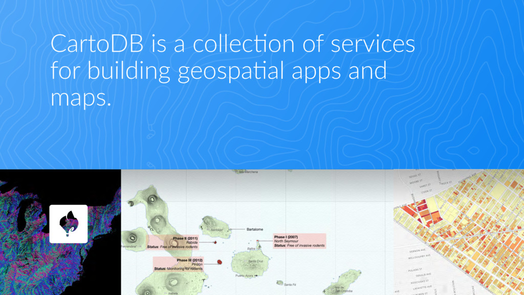
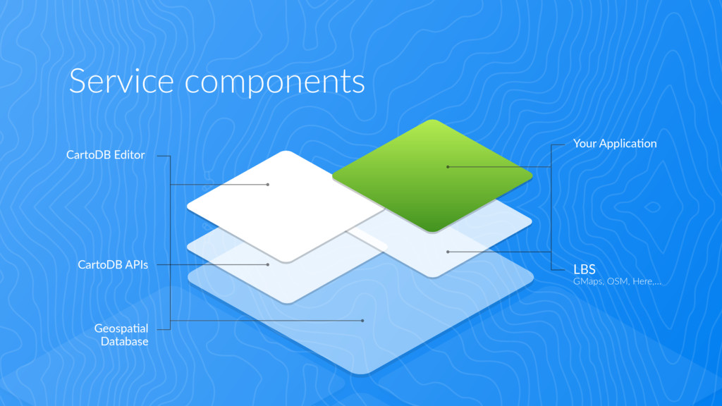
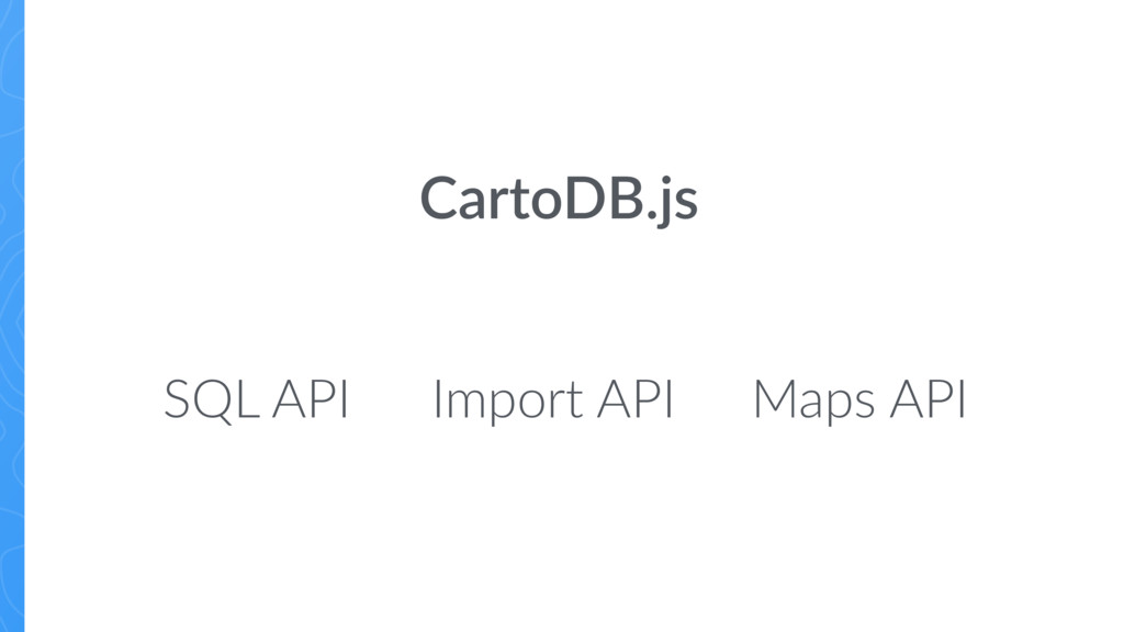
CartoDB is a simple to use tool with powerful applications. The dynamic interface allows users to create maps that change to reflect the latest data, making it ideal for planning, coordinating, and communicating data at the city government level. In this talk, we’ll present several real-world examples of how CartoDB is being used in several industries. Next we’ll get our hands dirty. First making maps using only the CartoDB editor and after that, dabbling in the CartoDB.js library for integrating maps with custom interfaces.
![Thanks! Carla Iriberri [email protected] — @iriberri1 www.cartodb.com Learn more in](https://files.speakerdeck.com/presentations/b20548d267264d91b1db5ffd15b6a4d8/slide_17.jpg)