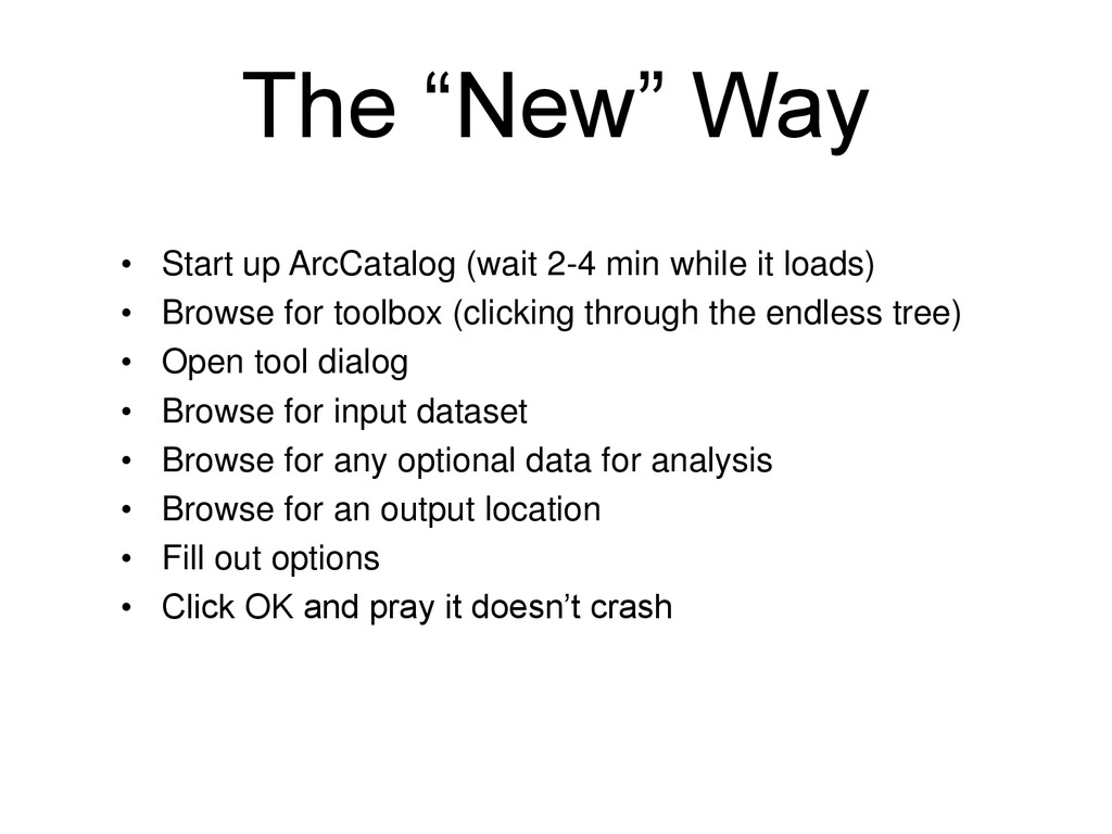
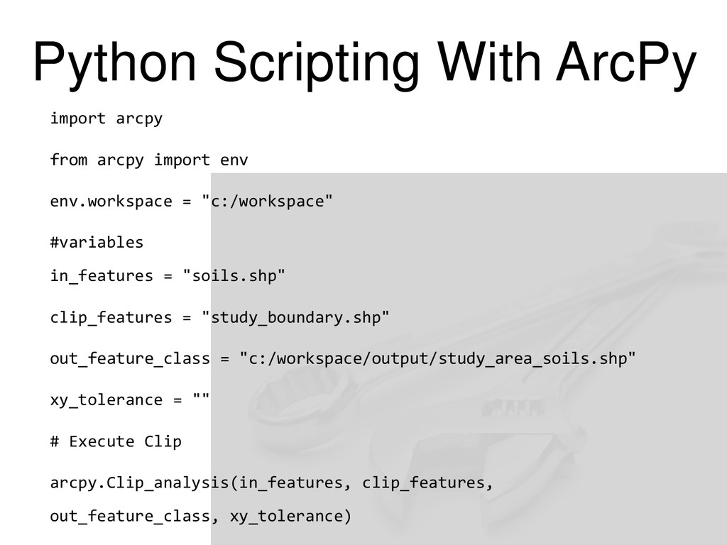
while it loads) • Browse for toolbox (clicking through the endless tree) • Open tool dialog • Browse for input dataset • Browse for any optional data for analysis • Browse for an output location • Fill out options • Click OK and pray it doesn’t crash
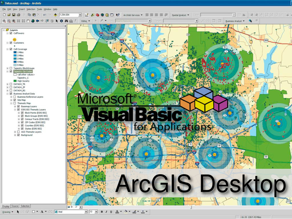
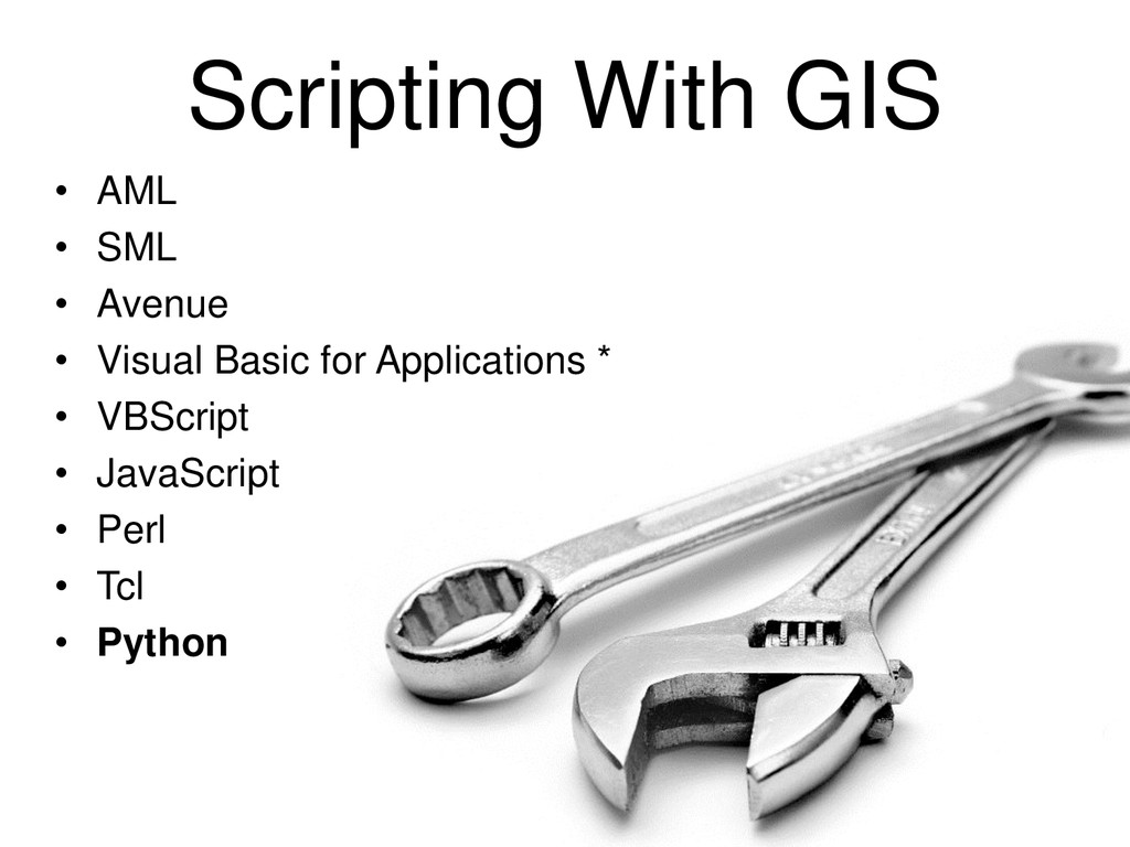
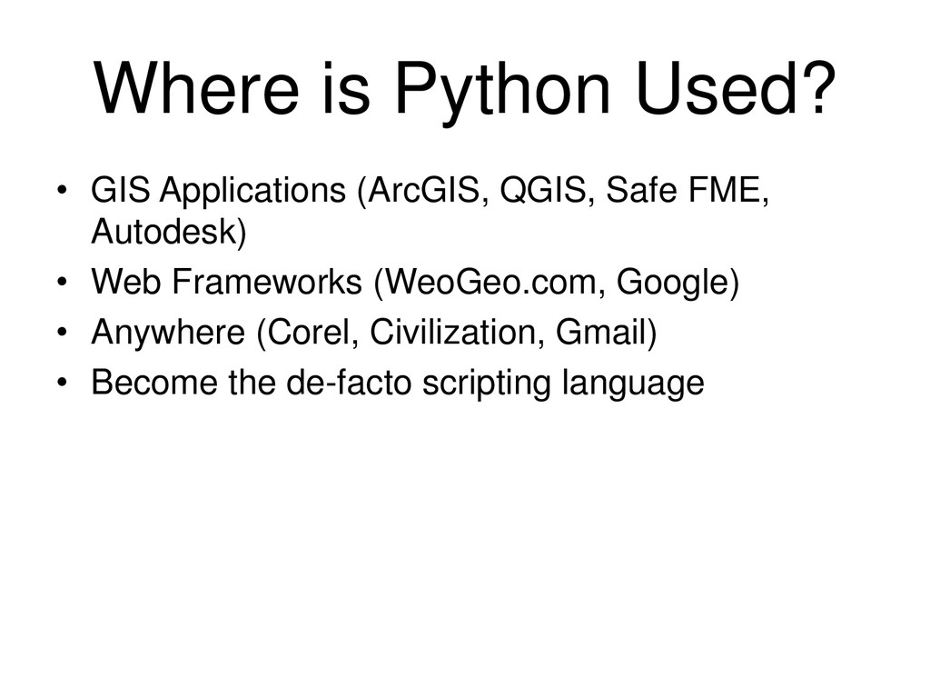
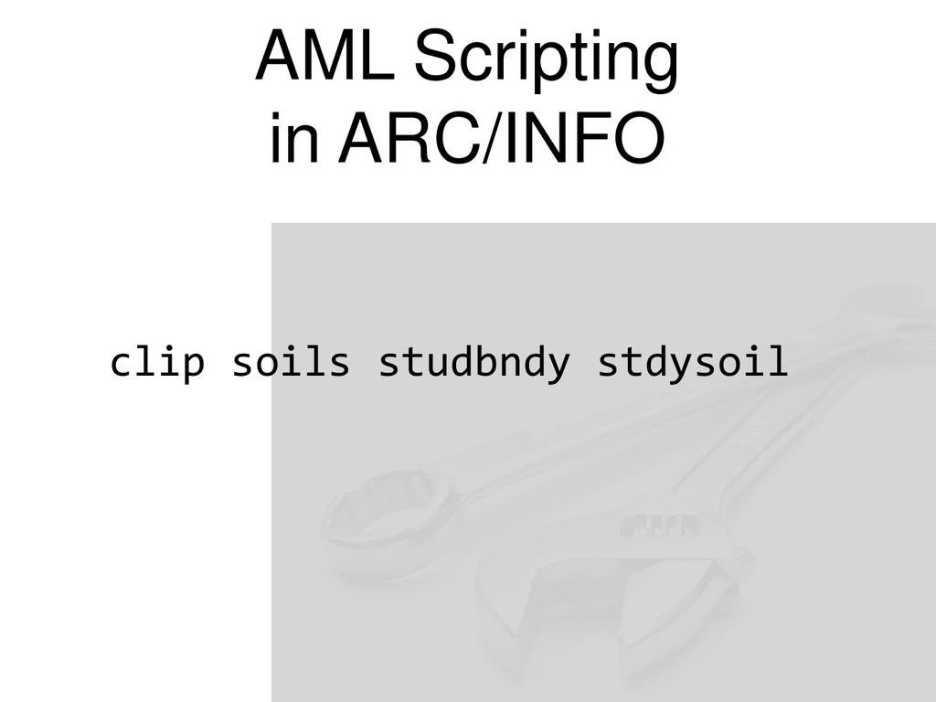
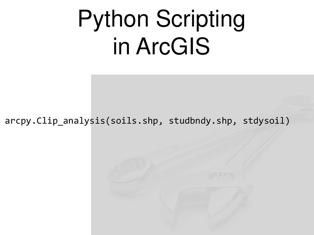
prompt and AML, ArcPy and Python give us a powerful analysis and scripting method. • ArcPy builds on the commands we learned 15 years ago. • ArcPy is integrated in ArcMap • Python can be extended to other GIS platforms such as QGIS.
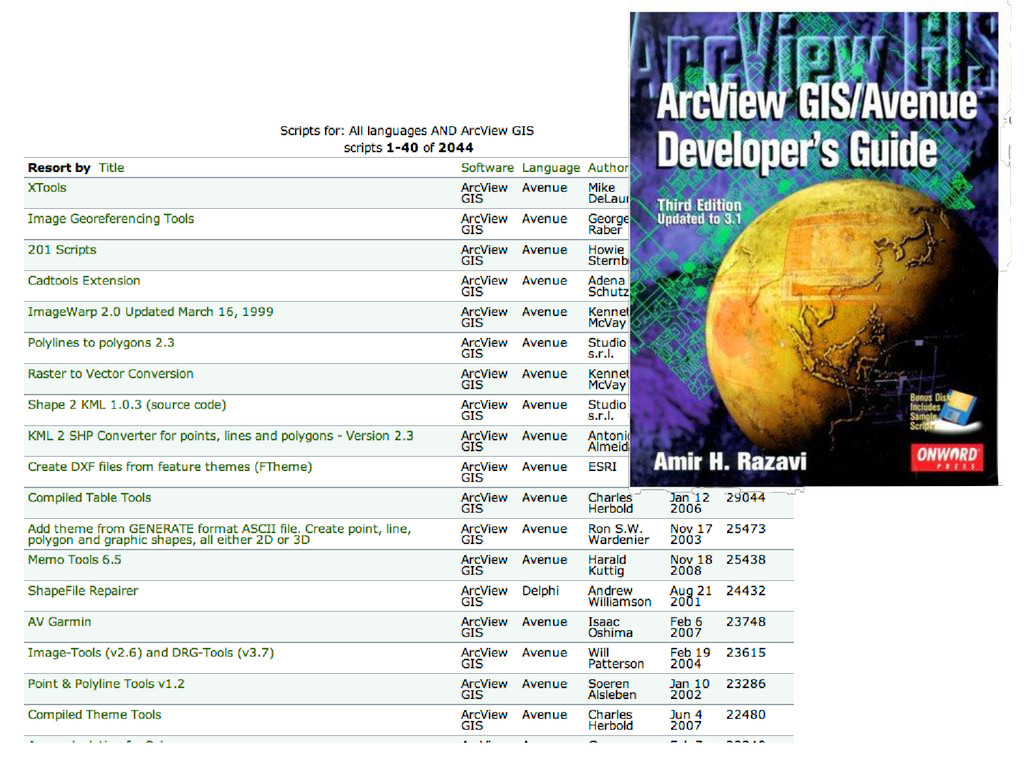
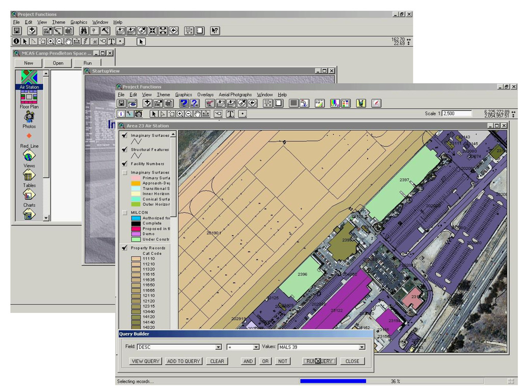
![Thanks! Questions/Comments? [email protected] @cageyjames spatiallyadjusted.com](https://files.speakerdeck.com/presentations/0ea0e4c9c647428ea3580345858b904e/slide_61.jpg)