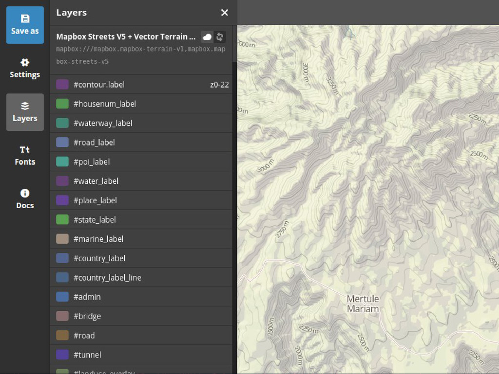
mercator image tiles • Contain points, lines, polygons, & data fields • Designed to be turned into images very quickly with any custom stylesheet • OpenGL / WebGL provide even more speed & flexibility
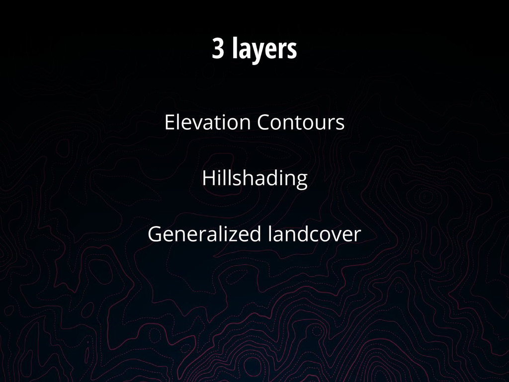
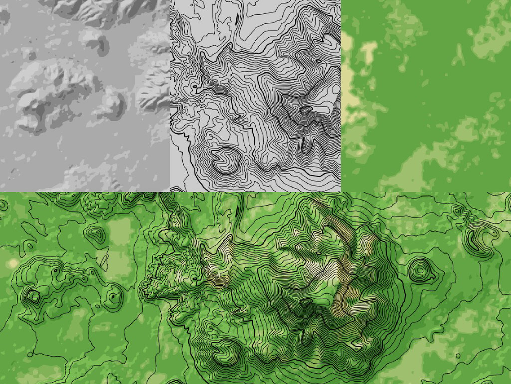
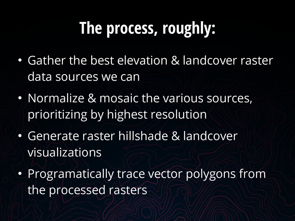
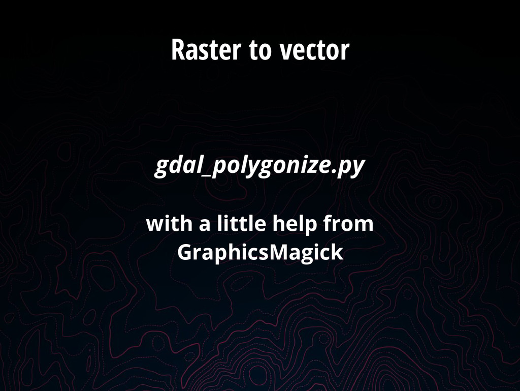
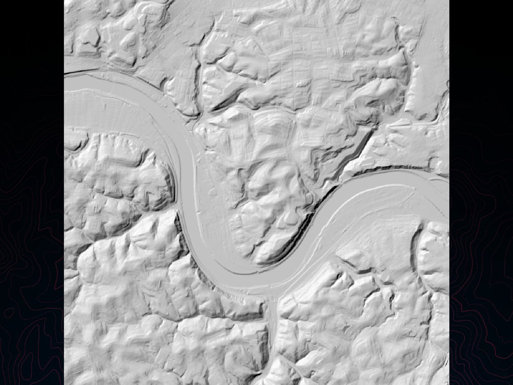
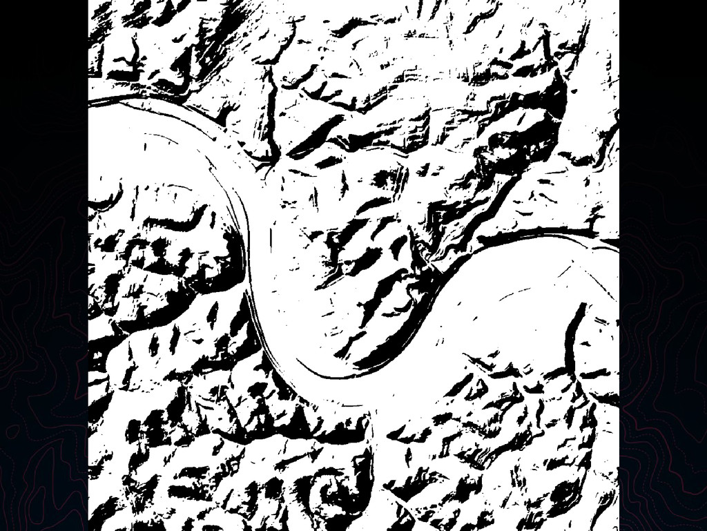
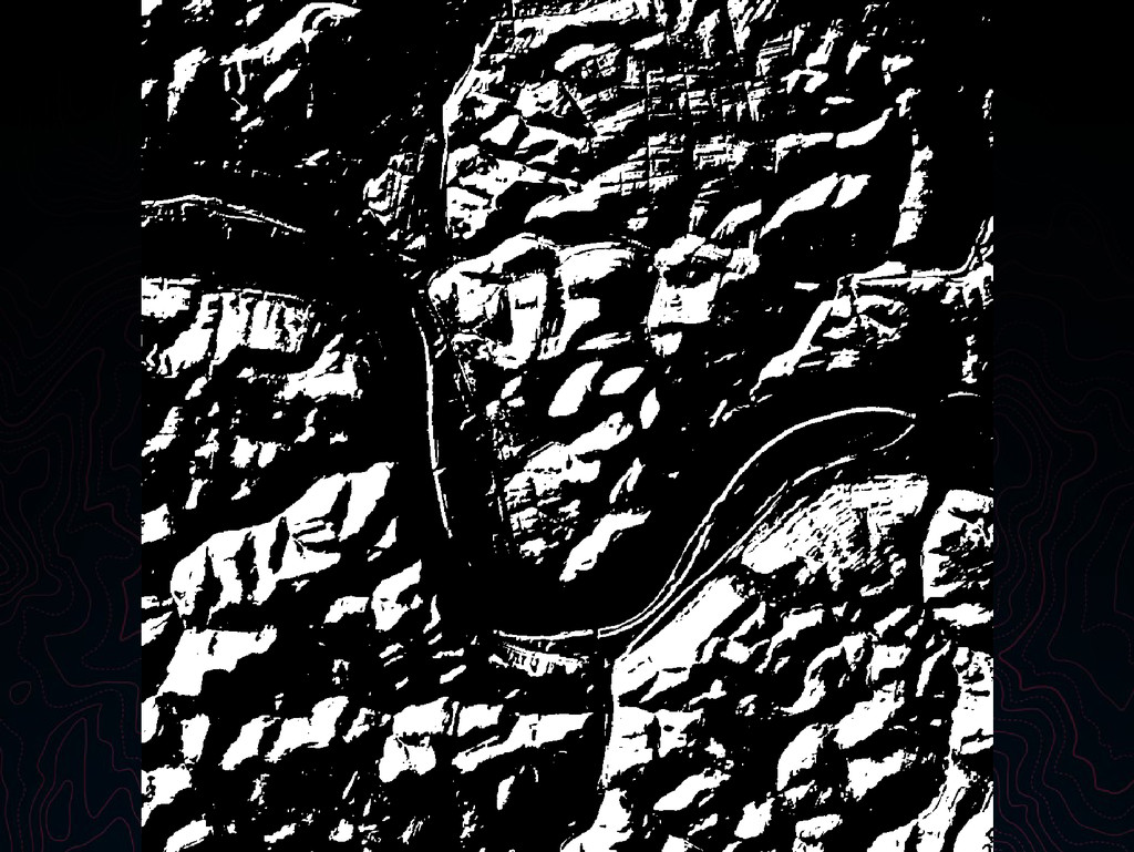
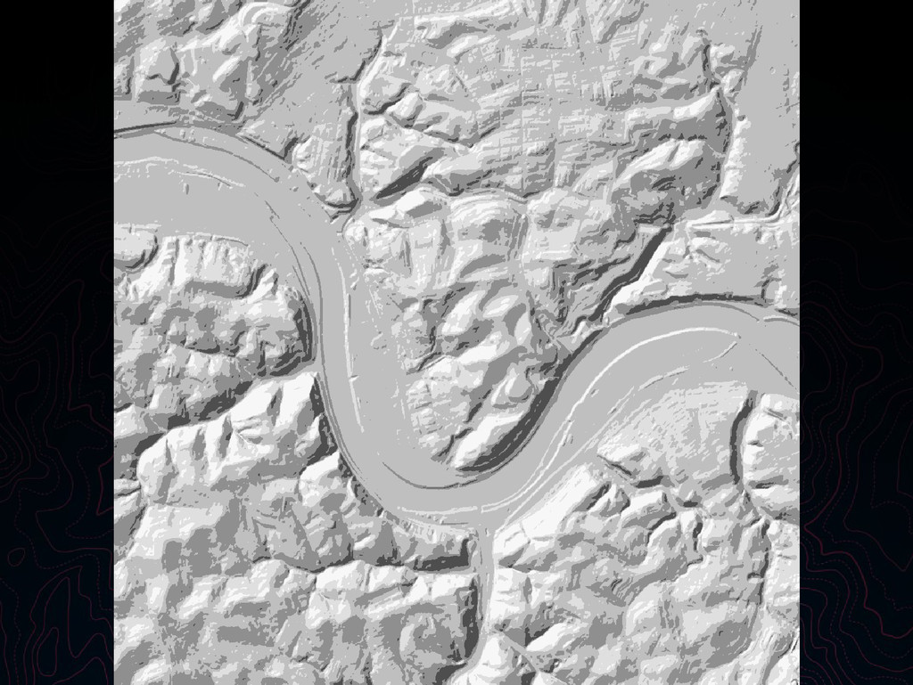
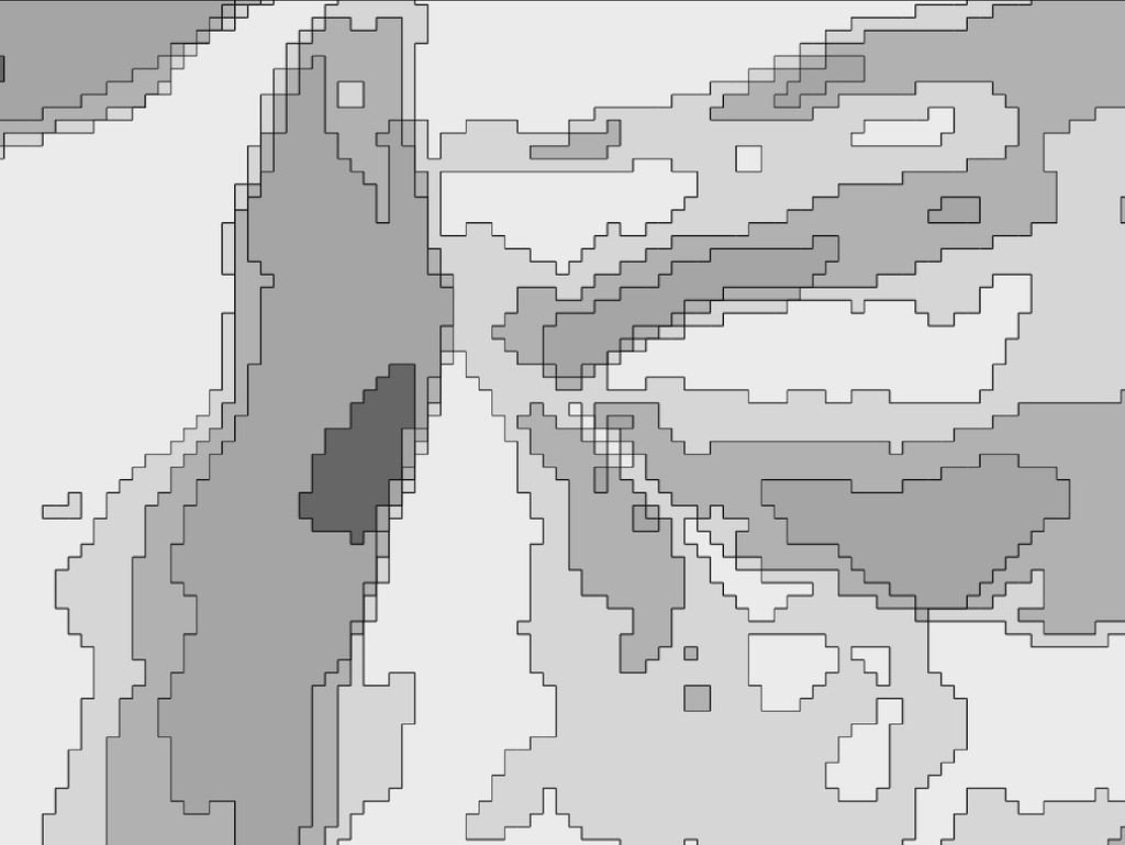
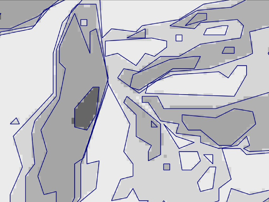
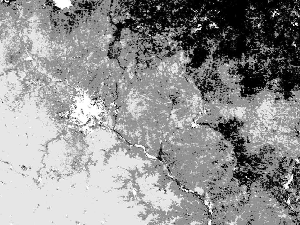
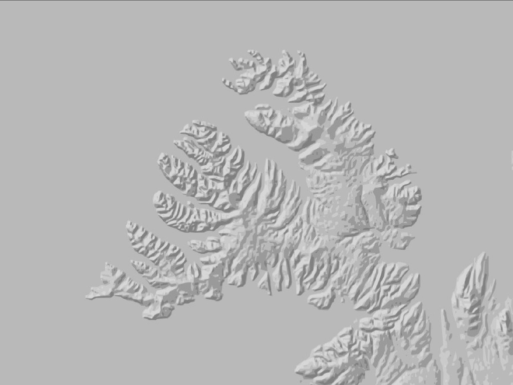
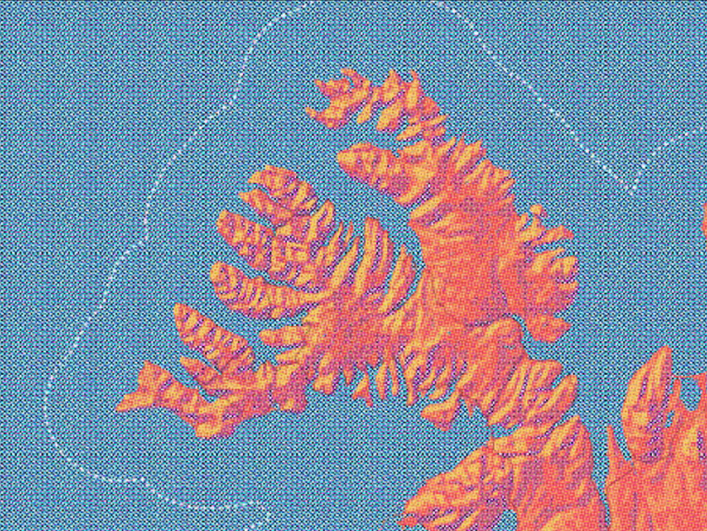
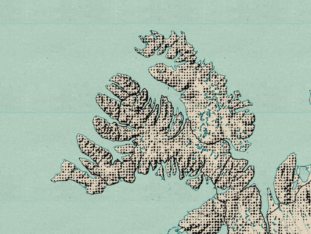
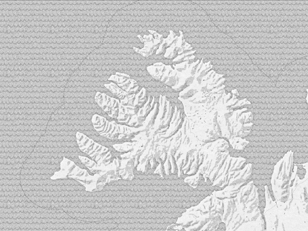
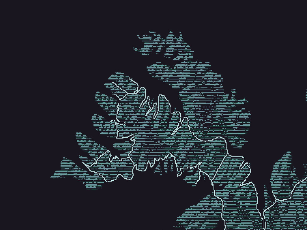
raster data sources we can • Normalize & mosaic the various sources, prioritizing by highest resolution • Generate raster hillshade & landcover visualizations • Programatically trace vector polygons from the processed rasters
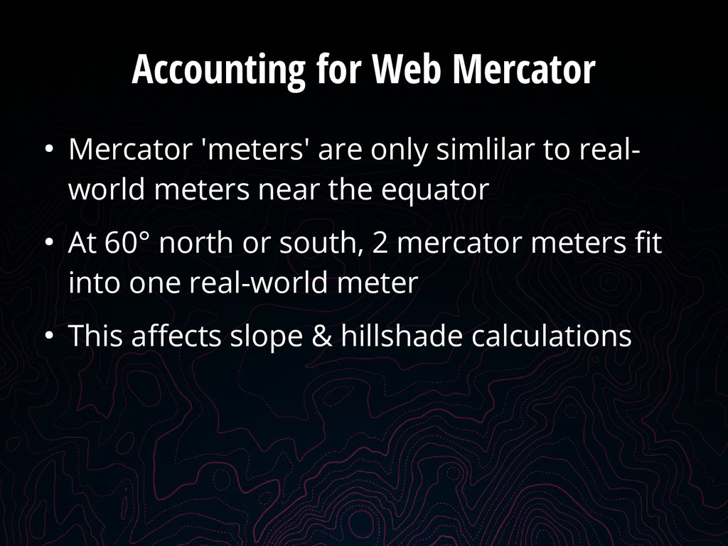
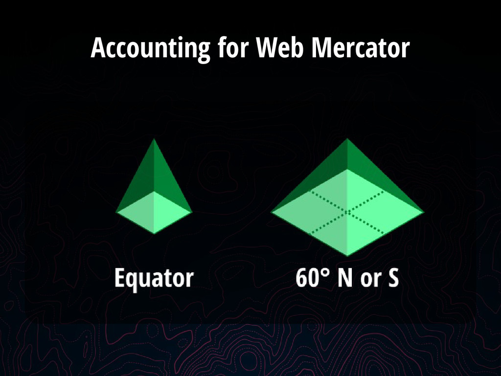
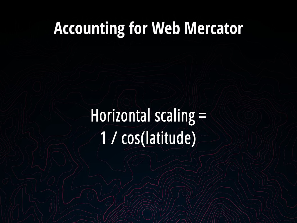
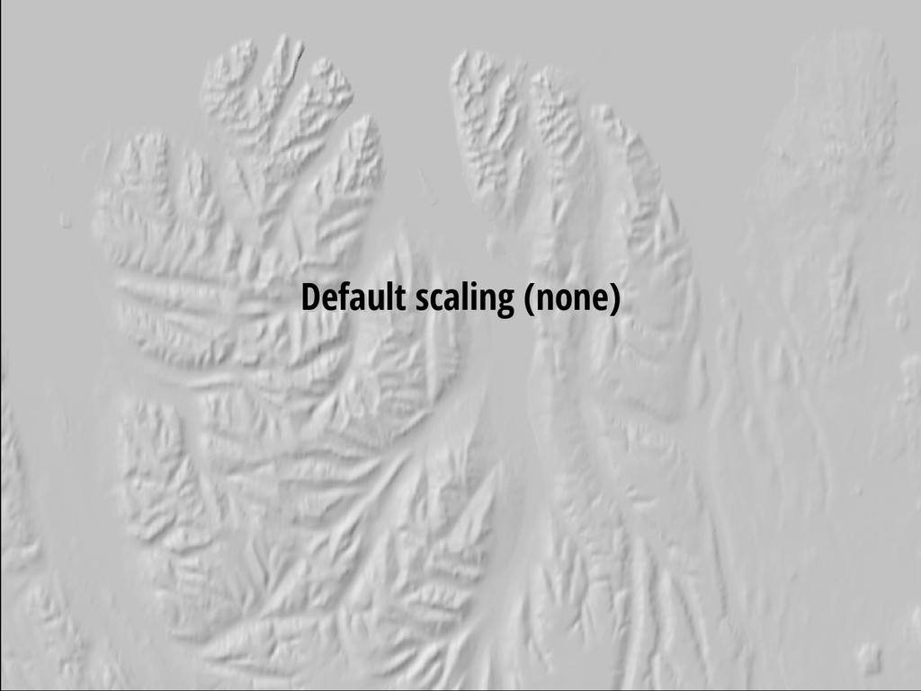
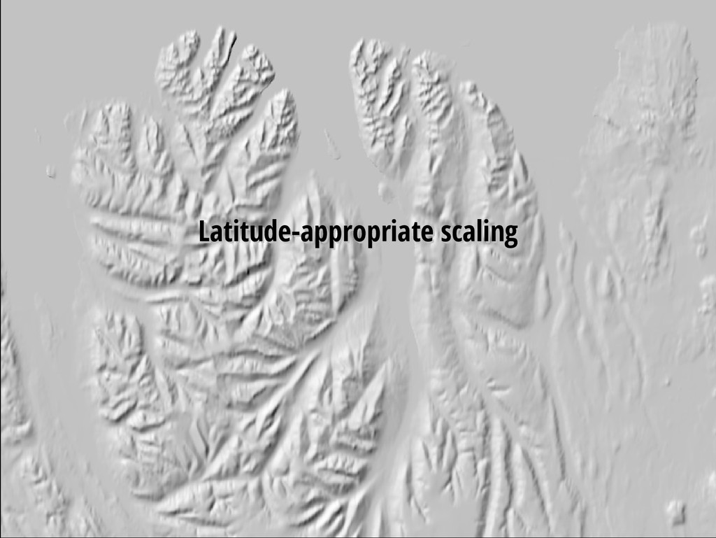
to real- world meters near the equator • At 60° north or south, 2 mercator meters fit into one real-world meter • This affects slope & hillshade calculations