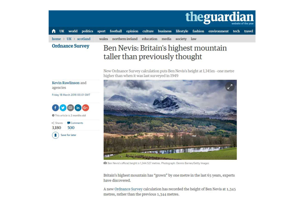
Bee Gees) (ahem) Philip Taylor | @ScienceAndMaps I know your eyes in the morning sun I feel you touch me in the pouring rain And the moment that you wander far from me I shout: “What’s the highest point in the UK?”
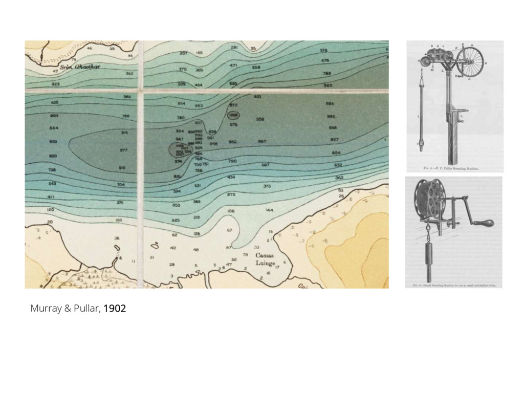
from the Treasury indicated that the work was not in the interests of navigation and so fell outwith the functions of the Admiralty, whilst the Ordnance Survey would confine its attentions to dry land. As Murray concluded, 'we were led to take up this self-imposed task because ... there was no hope of the work being undertaken by any Government Department’ ” Murray & Pullar, 1910 vol. 1, p. 4.
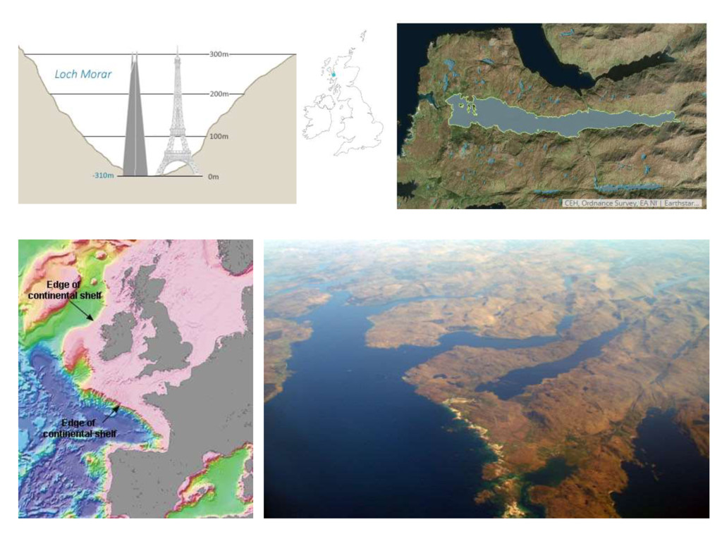
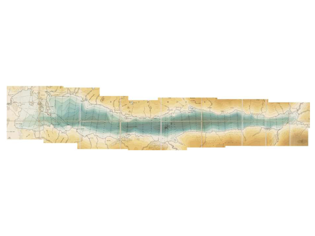
later 20th century technology. For example, the Loch Ness bathymetric and seismic survey in 1992 using sonar measurements recorded a depth of 786 feet, only 32 feet more than the Bathymetrical Survey.” Young, I & Shine, A.J., 'Loch Ness bathymetric and seismic survey', The Scottish Naturalist 105 (1993), 23-43.
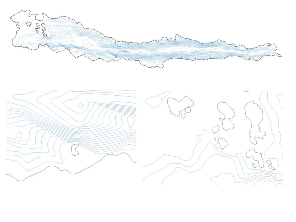
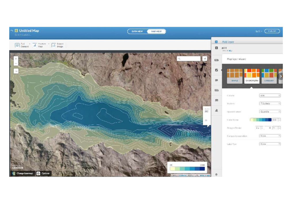
(102m, previously 87m), and a new measure of volume (2.74km3, previously 2.32km3). That additional volume is enough to cover the personal use of every person in Scotland for 1.5 years.


 mixedbredie
 y0hgi
 daidaidai
 shugo
 riyaamemiya
 oikon48
 camiha
 sansantech
 kentapapa
 takahashim
 koukihosaka
 shogo4131
 techtekt
 tammyeverts
 jeffersonlam
 inesmontani
 aleyda
 kneath
 jacobtomlinson
 csswizardry
 popppiees
 jnunemaker
 pwiseman
 schlessera